Elevation of Chisapani, Nepal
Location: Nepal > Western Region > Gandaki >
Longitude: 84.1560442
Latitude: 28.1538627
Elevation: 1286m / 4219feet
Barometric Pressure: 87KPa
Elevation Map:
Satellite Map:
Related Photos:
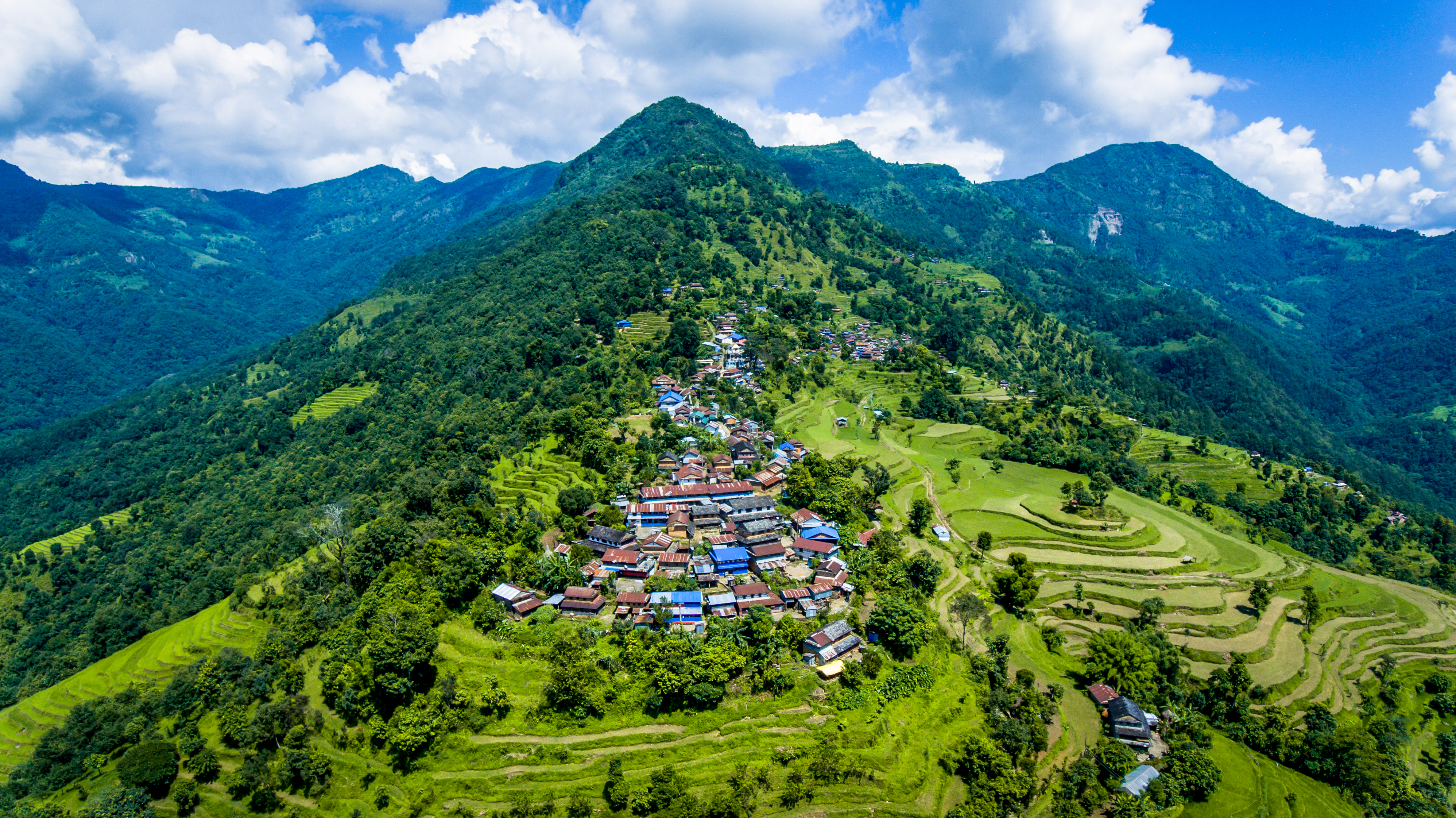
Aerial view of Nalma village
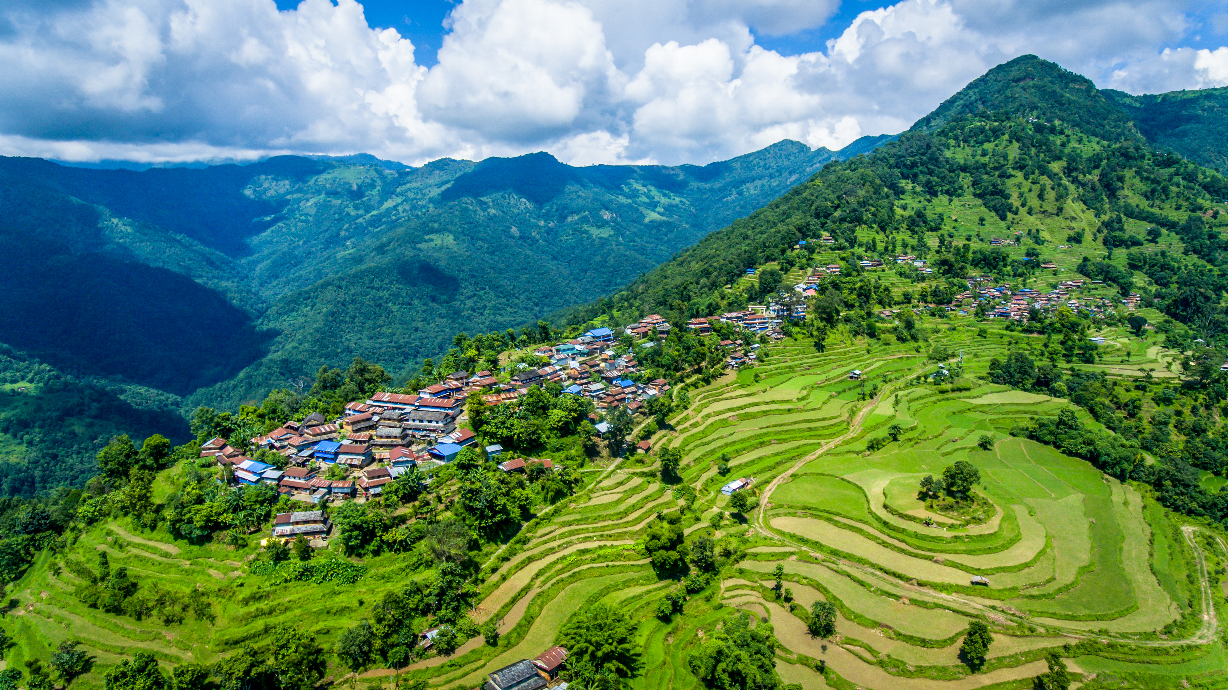
Aerial view of Nalma village
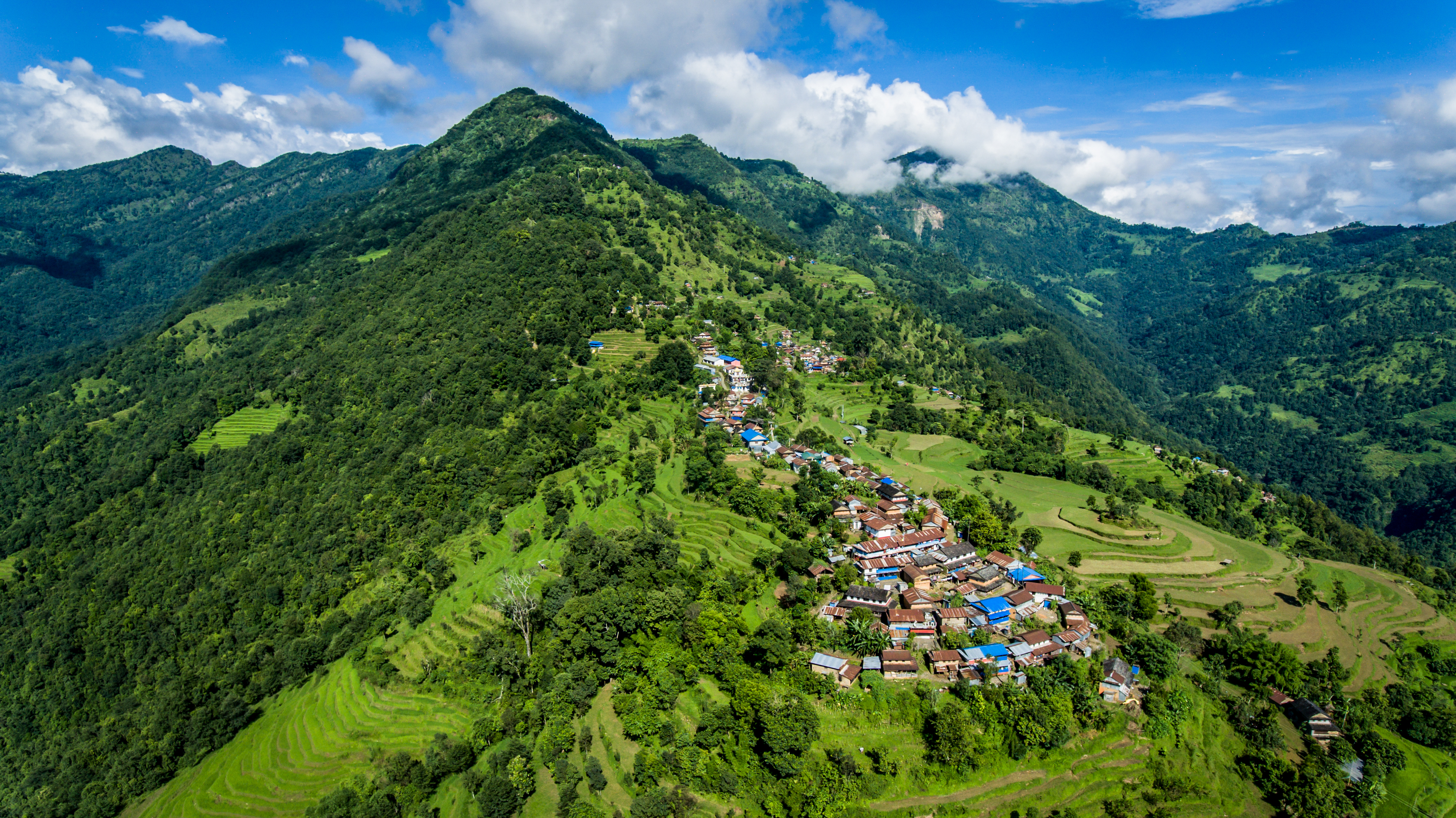
Aerial view of Nalma village
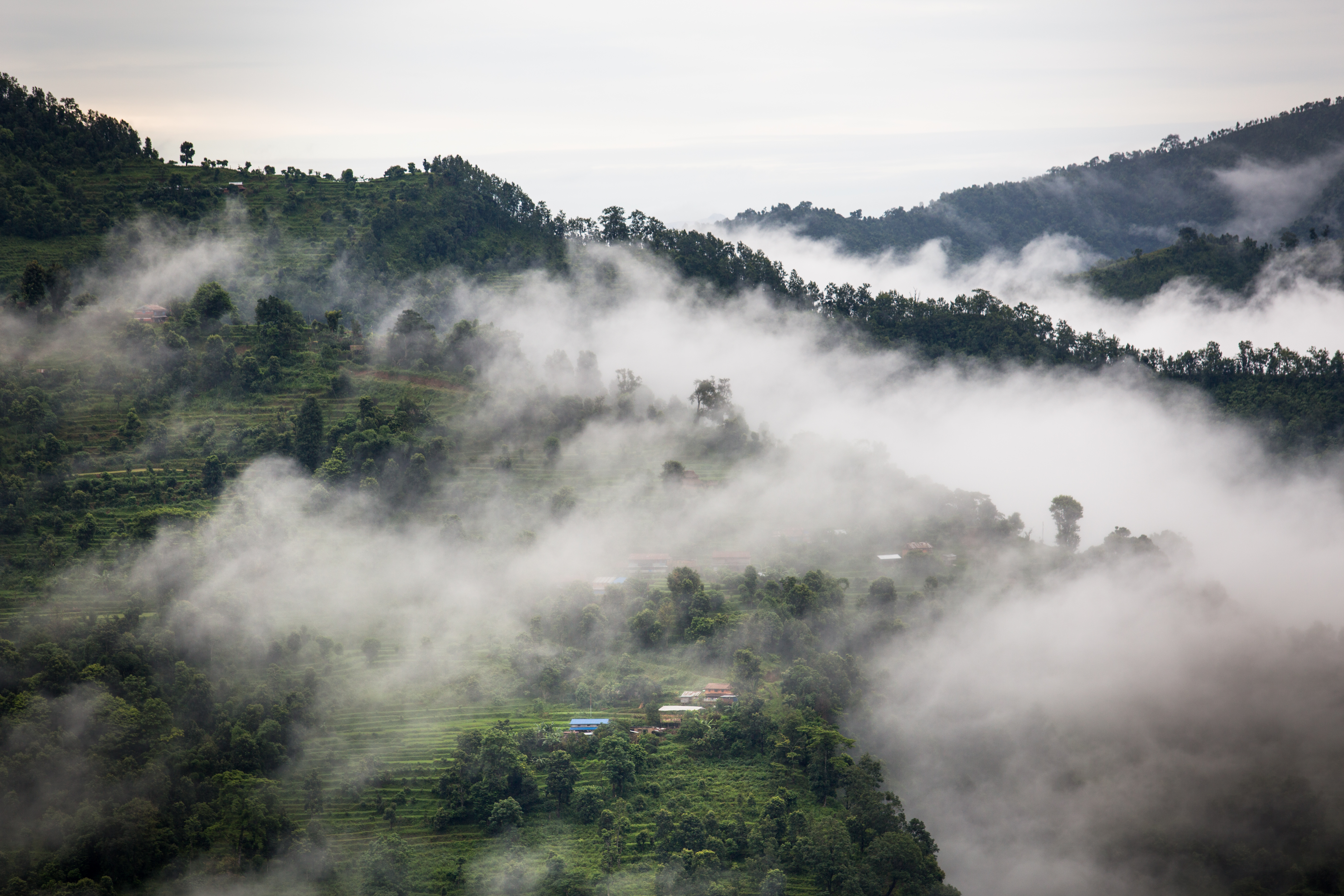
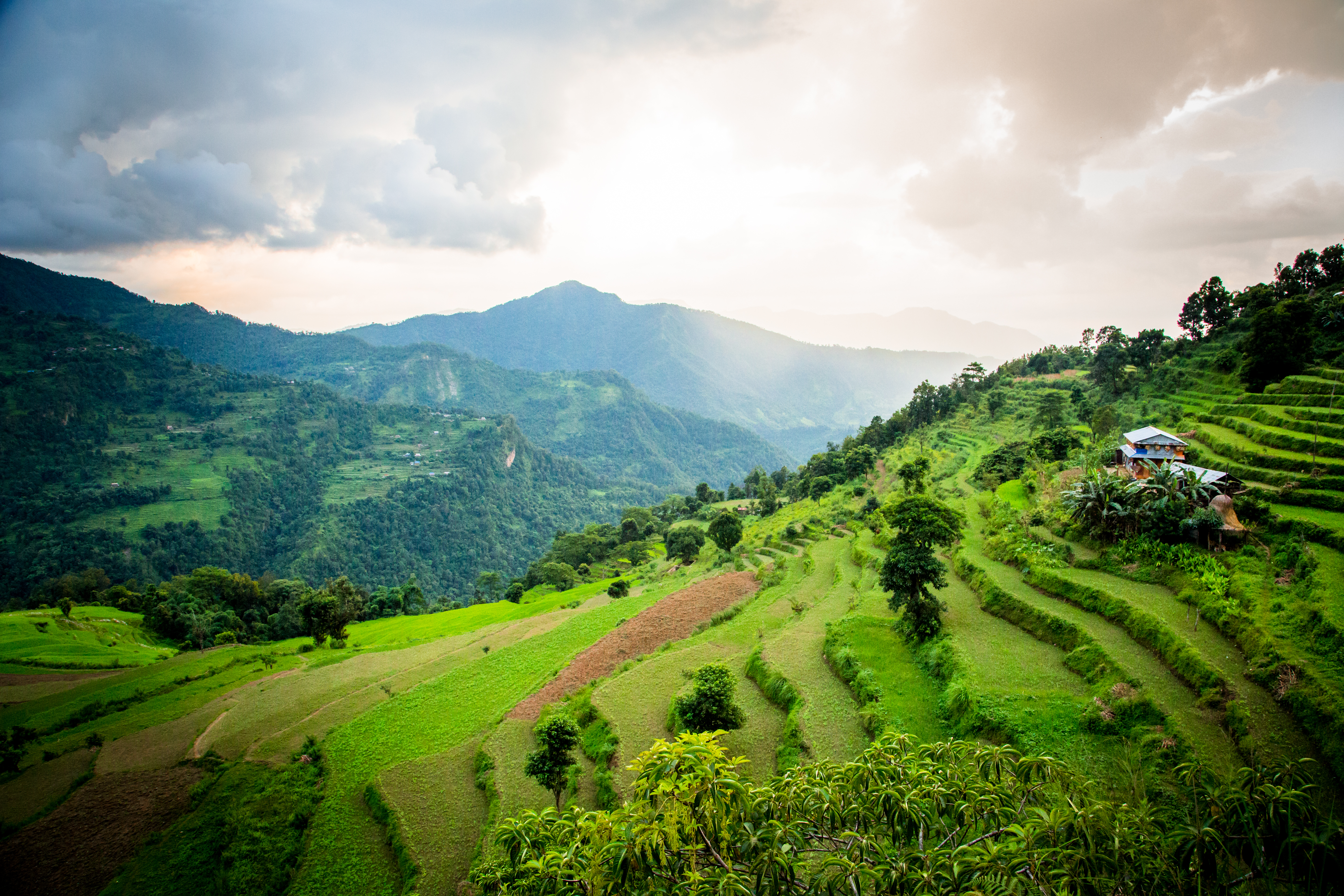
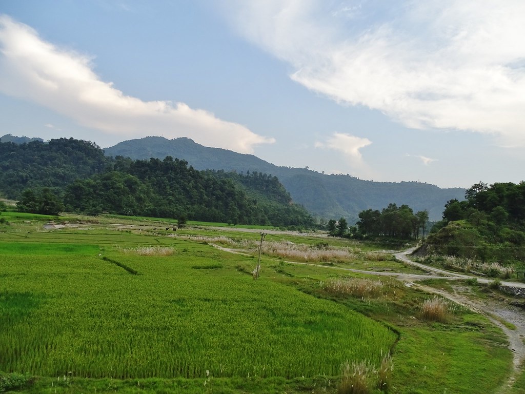
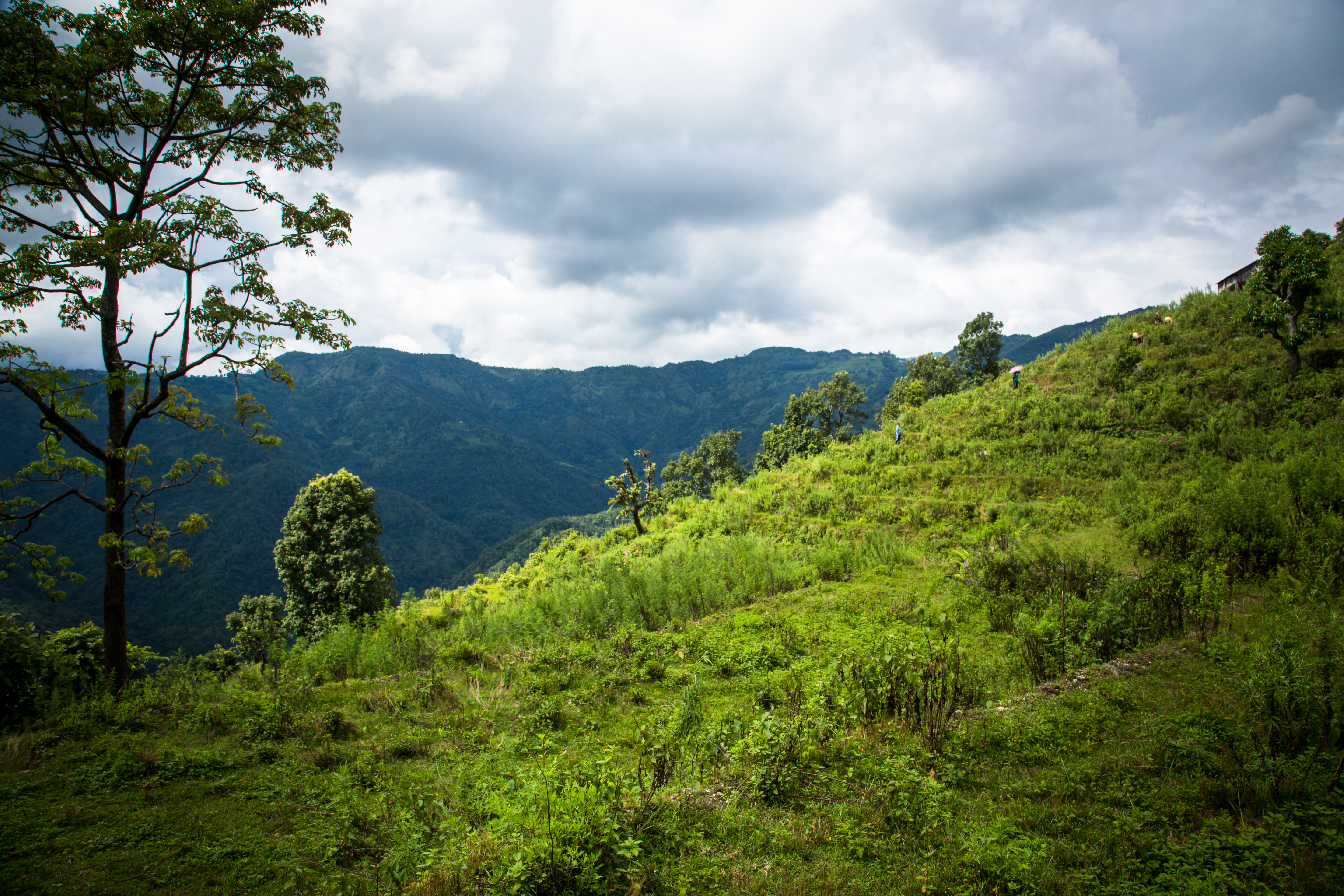
Landscape in Nalma village
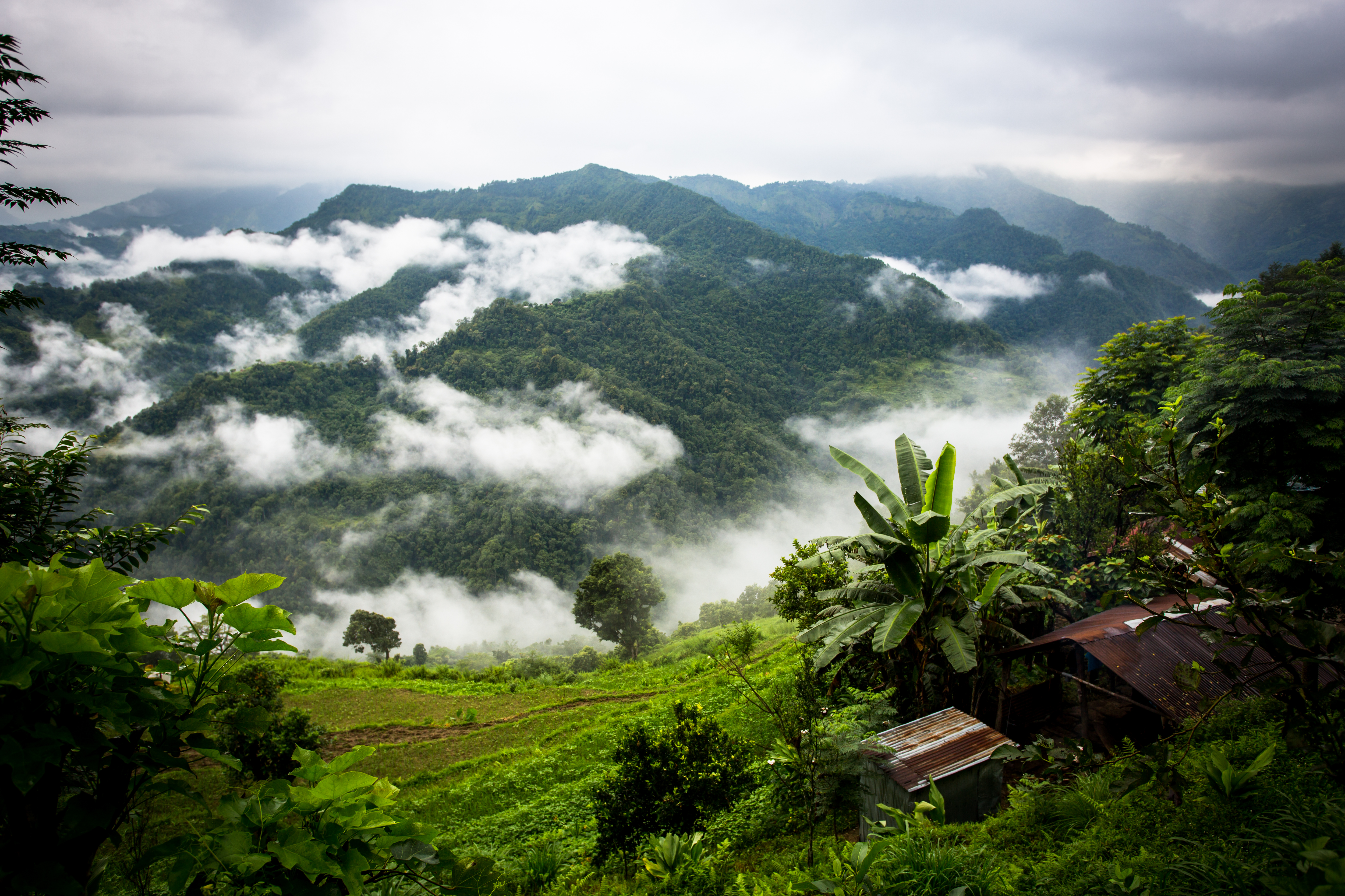
Landscape view in Nalma
Landscape view in Nalma village
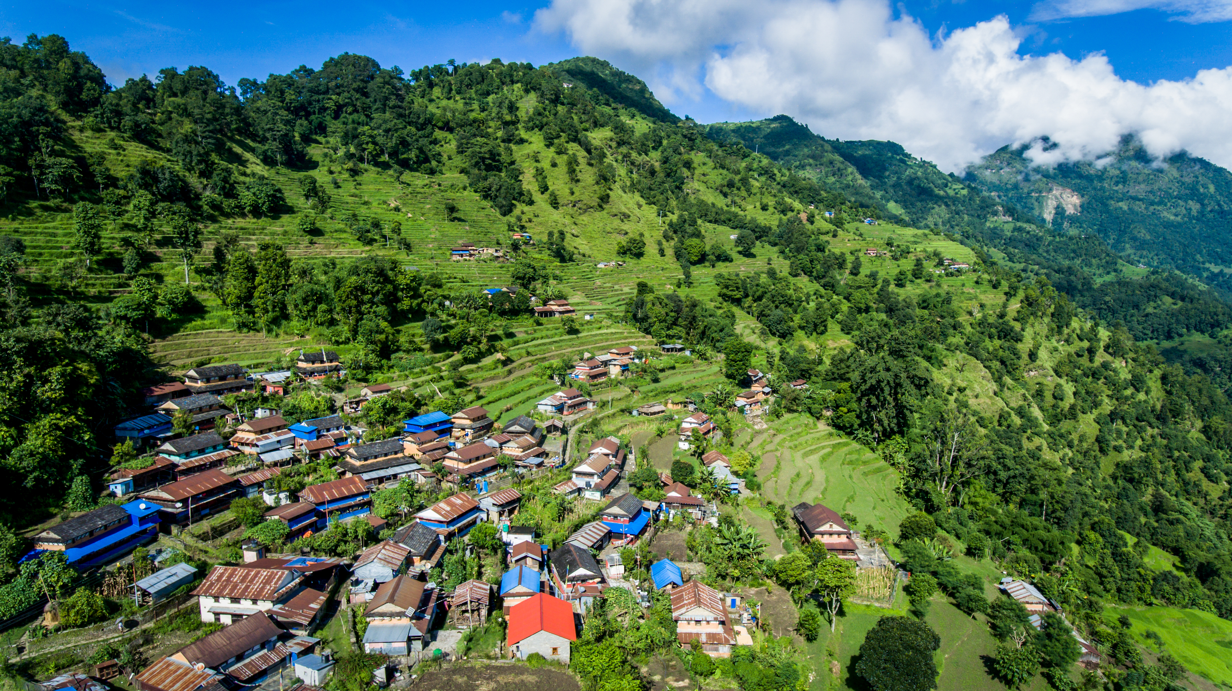
Aerial view of Nalma village

Landscape in Nalma village
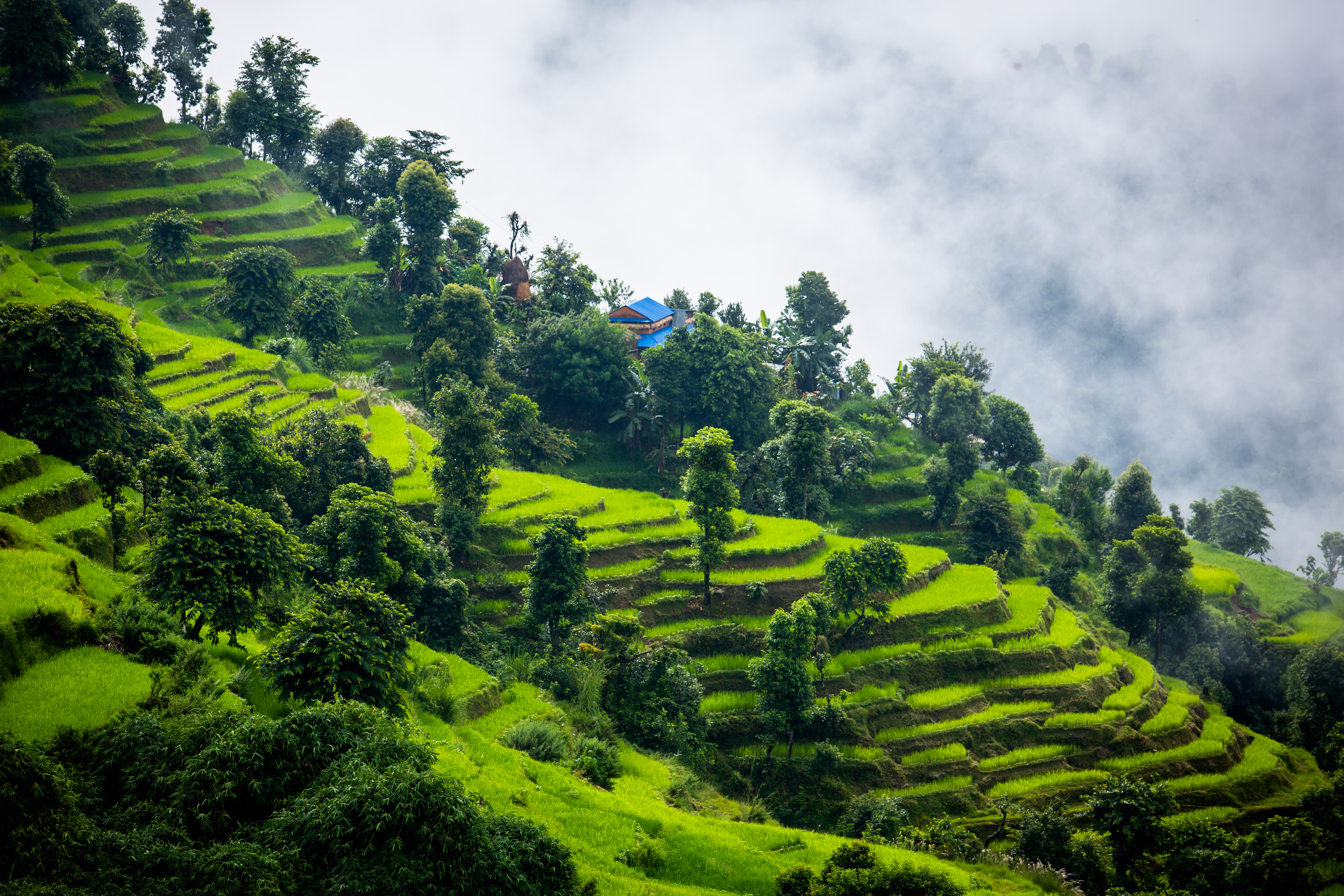
Landscape view in Nalma village
Afternoon view at Nalma village.
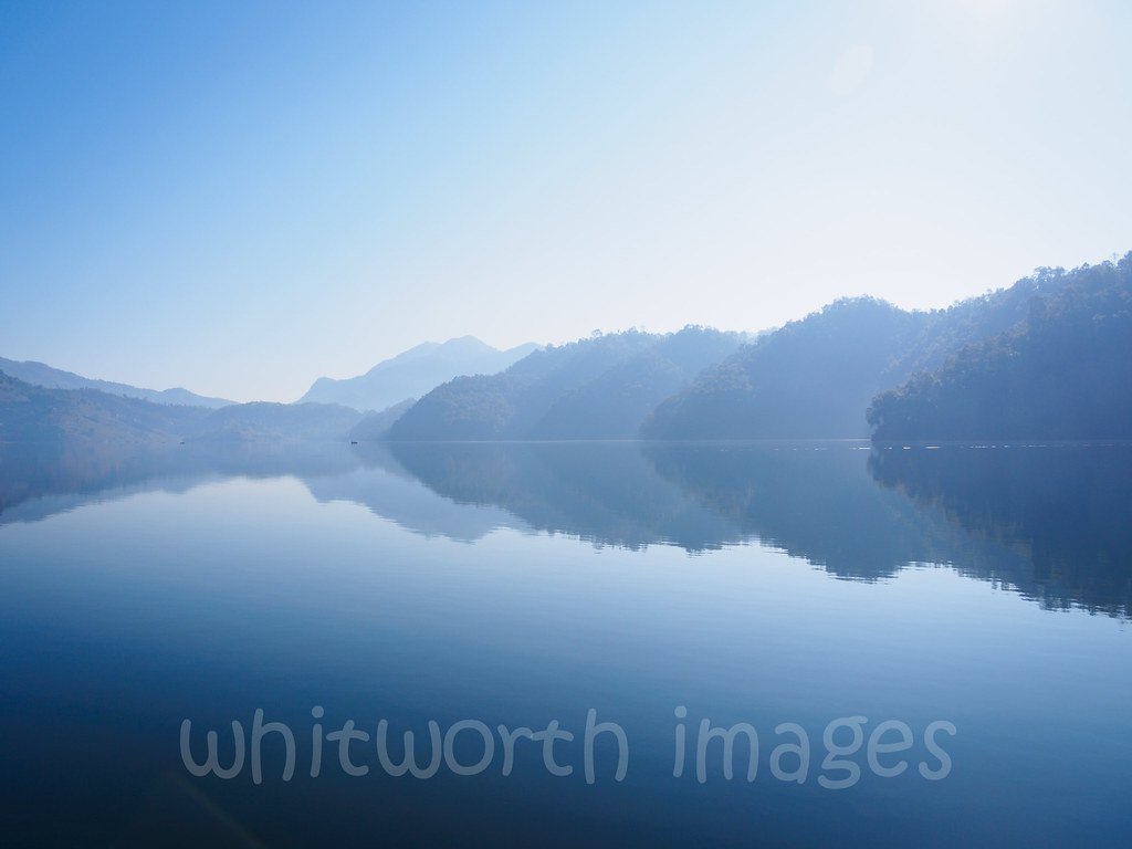
Begnas Tal
K5MkIIs-100214-108

#kanchenjungatrek #mountain #mountains #sky #beautiful #view #scenery #top #nature #hike #hiking #landscape #natureporn #nature_seekers #clouds #ic_landscapes #instanature #cusp #instanaturelover #landscape_lovers #peak #landscapes #amazing #summit #wilde
iphone pictures 107
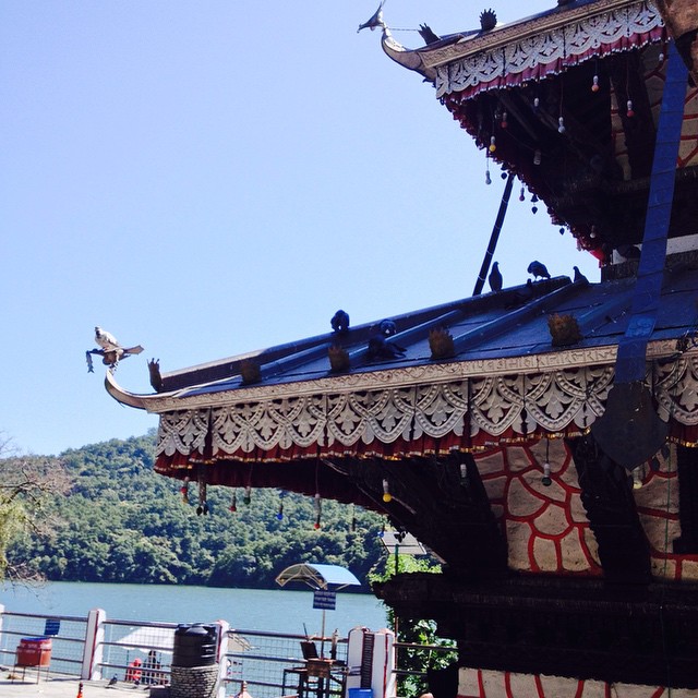
Compute the angle between the roofs - yet another angular view of the Tal Barahi #temple #Pokhara
20180929.0361.NEPAL.Simaltar
20181008.2776.NEPAL.Seratar
08 November, 06.38

India Nepal-2968
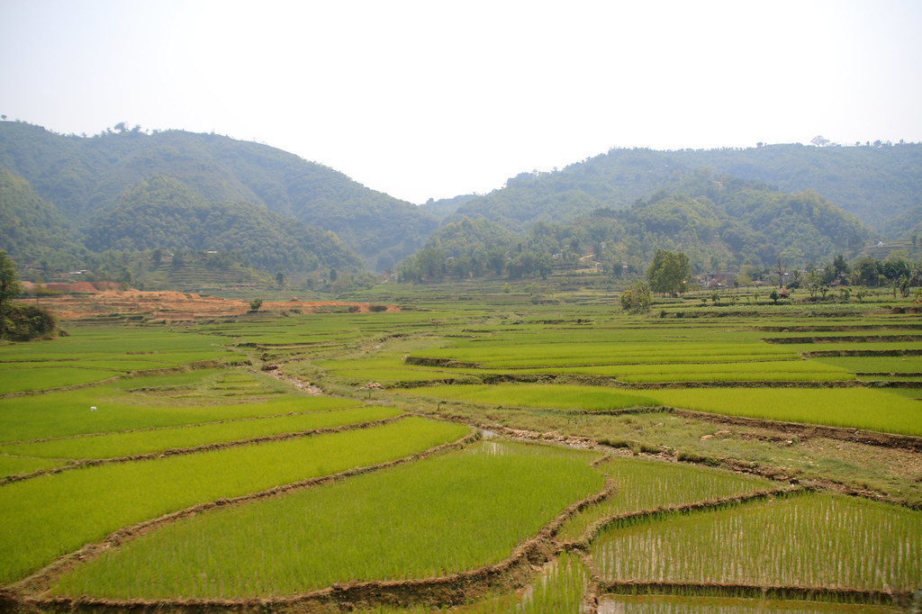
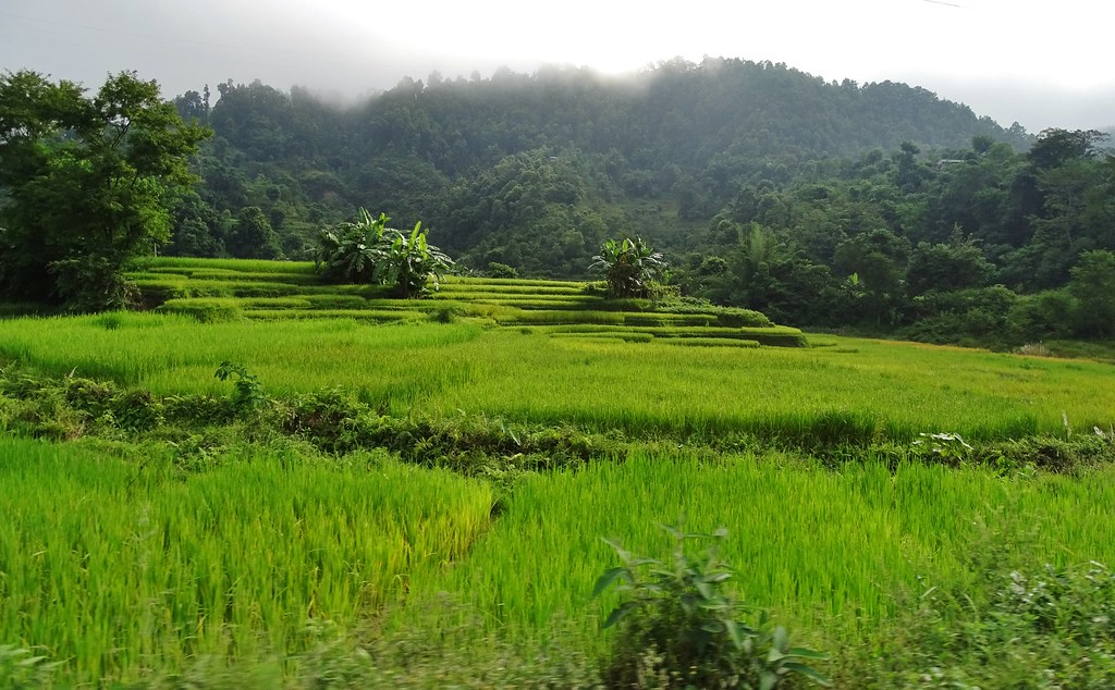
Rizières

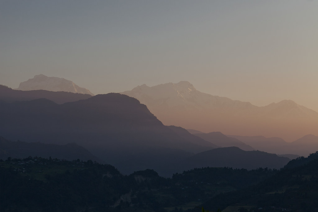
Sunrise from Sirkutaan

India Nepal-2963

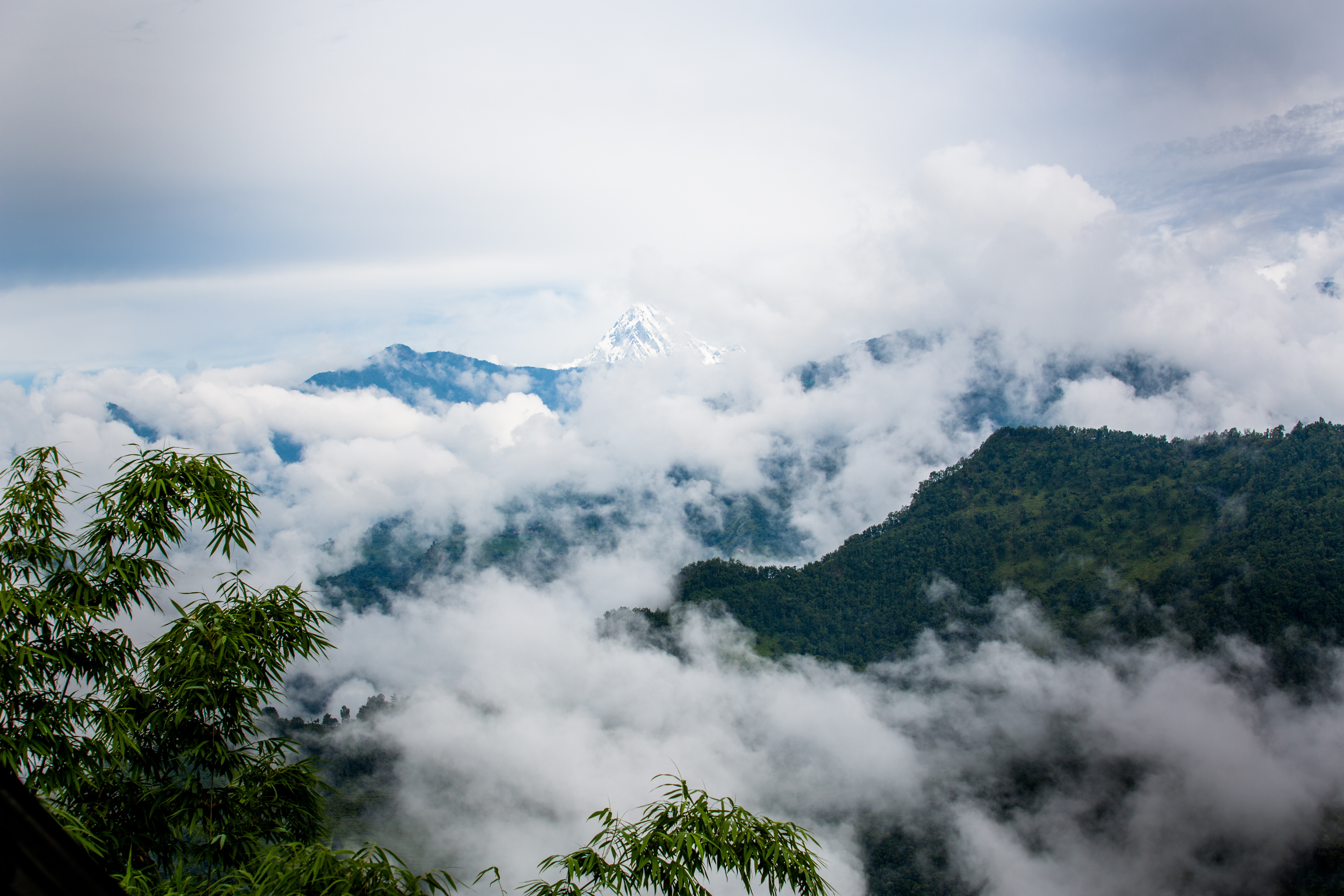
with Mountain
10NP-153-

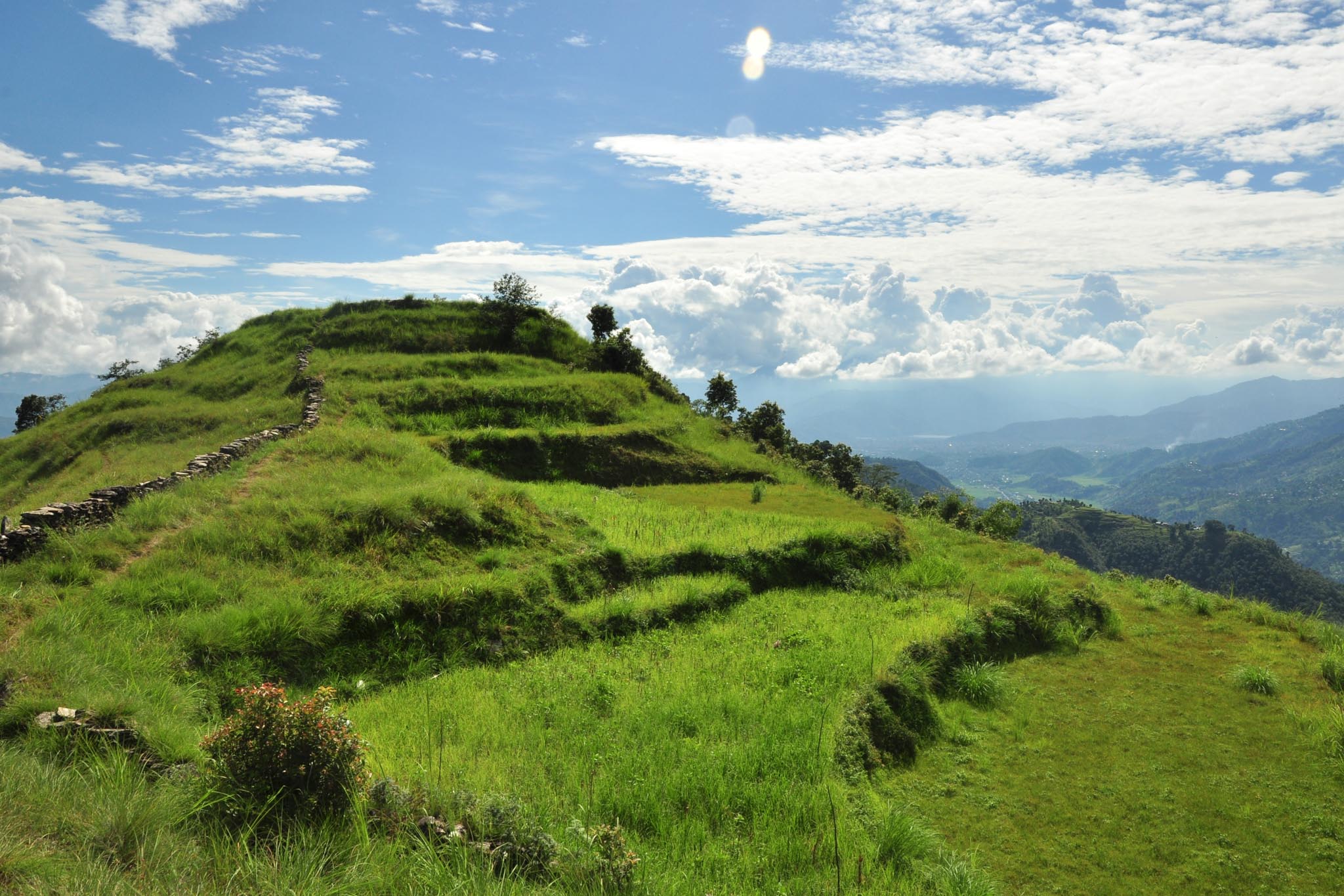
Thulakot hill
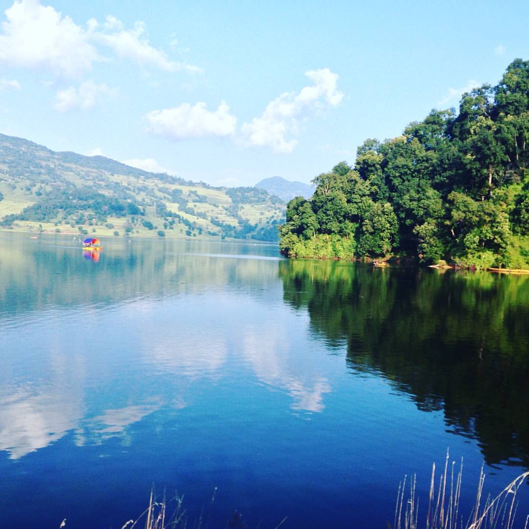
Lake Begnas one afternoon. #Latergram #Clarendon #Pokhara #Lekhnath #Travel #blue #water #lake #reflection

28276E6F-537B-4E23-AD3B-8B506411130C
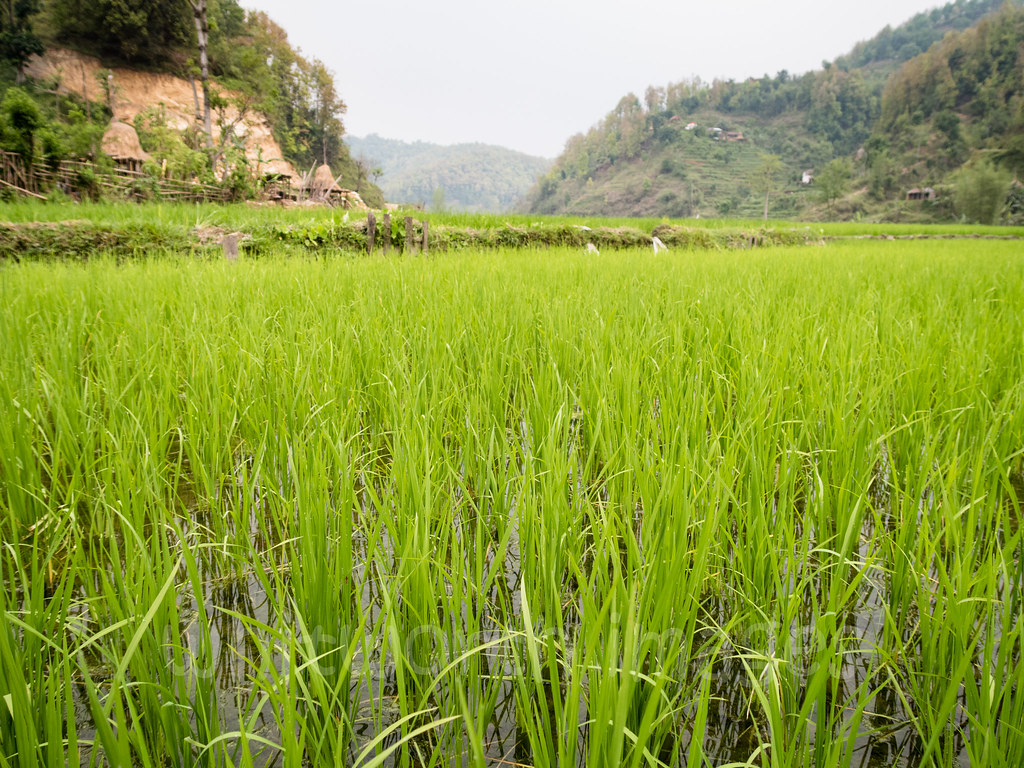
Rice paddies
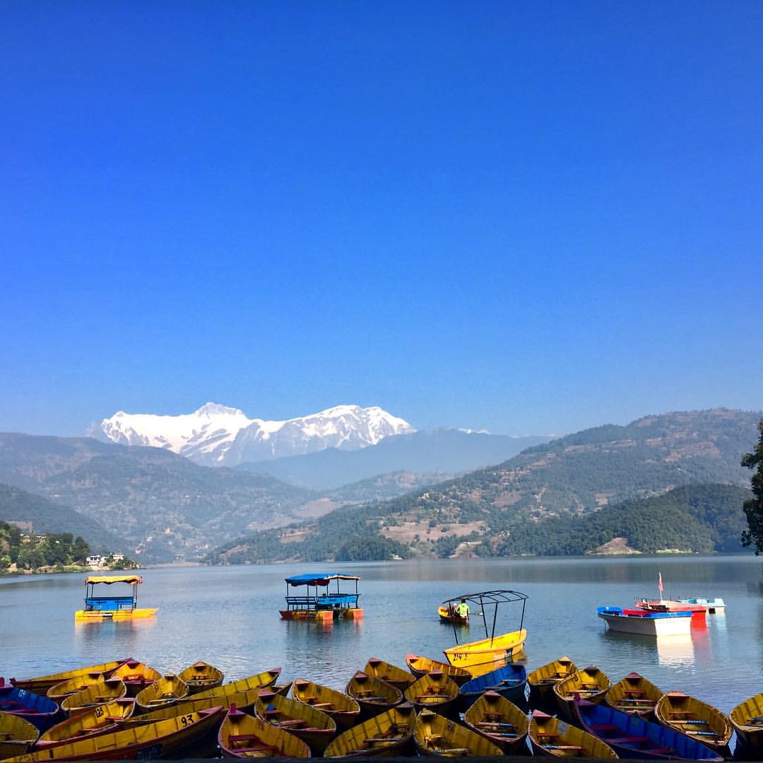
#begnaslake #boats #boating #mountains #landscape #photography #lake #mountains #bluesky #nature #photonepal
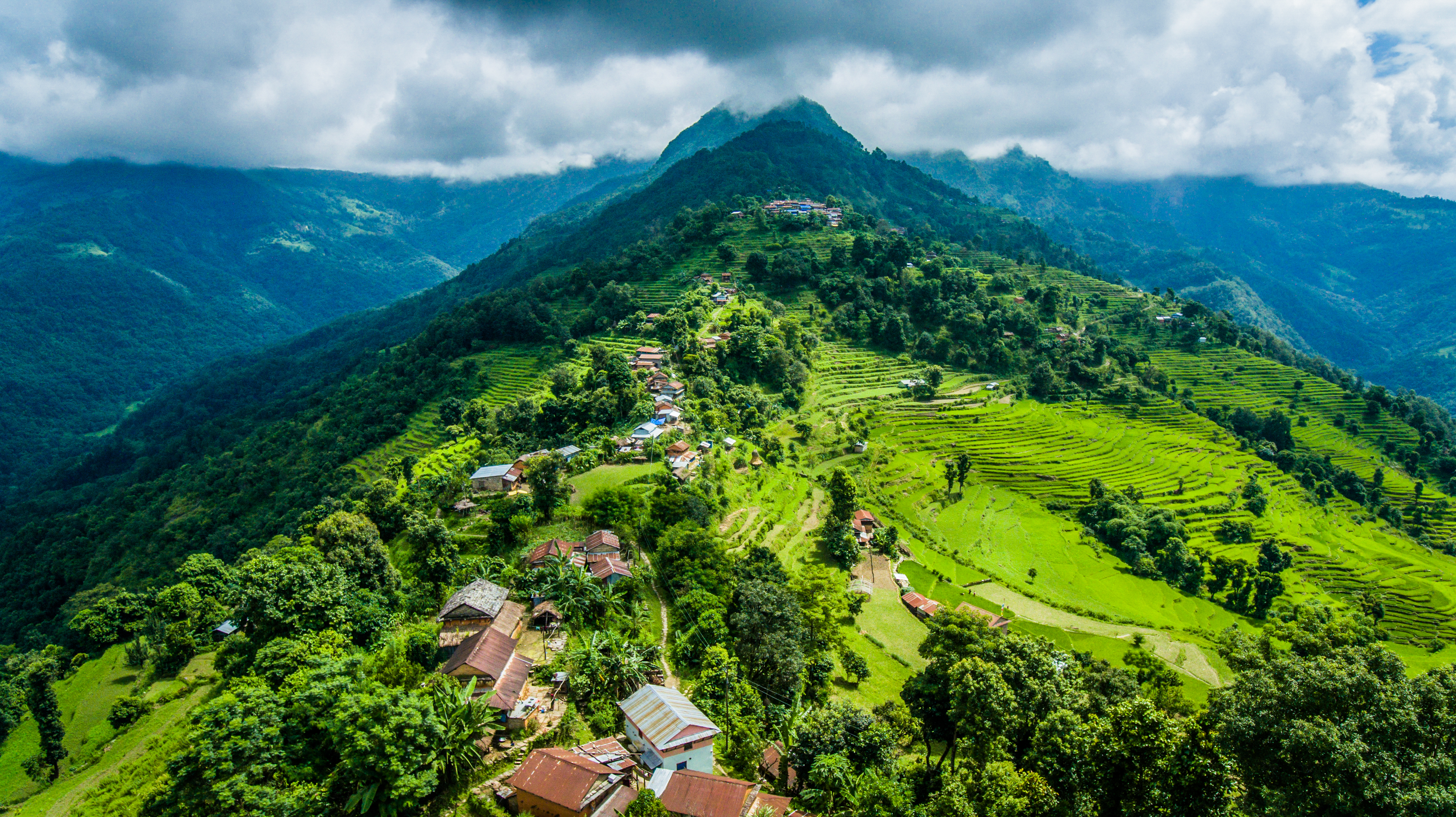
Aerial view of Nalma village
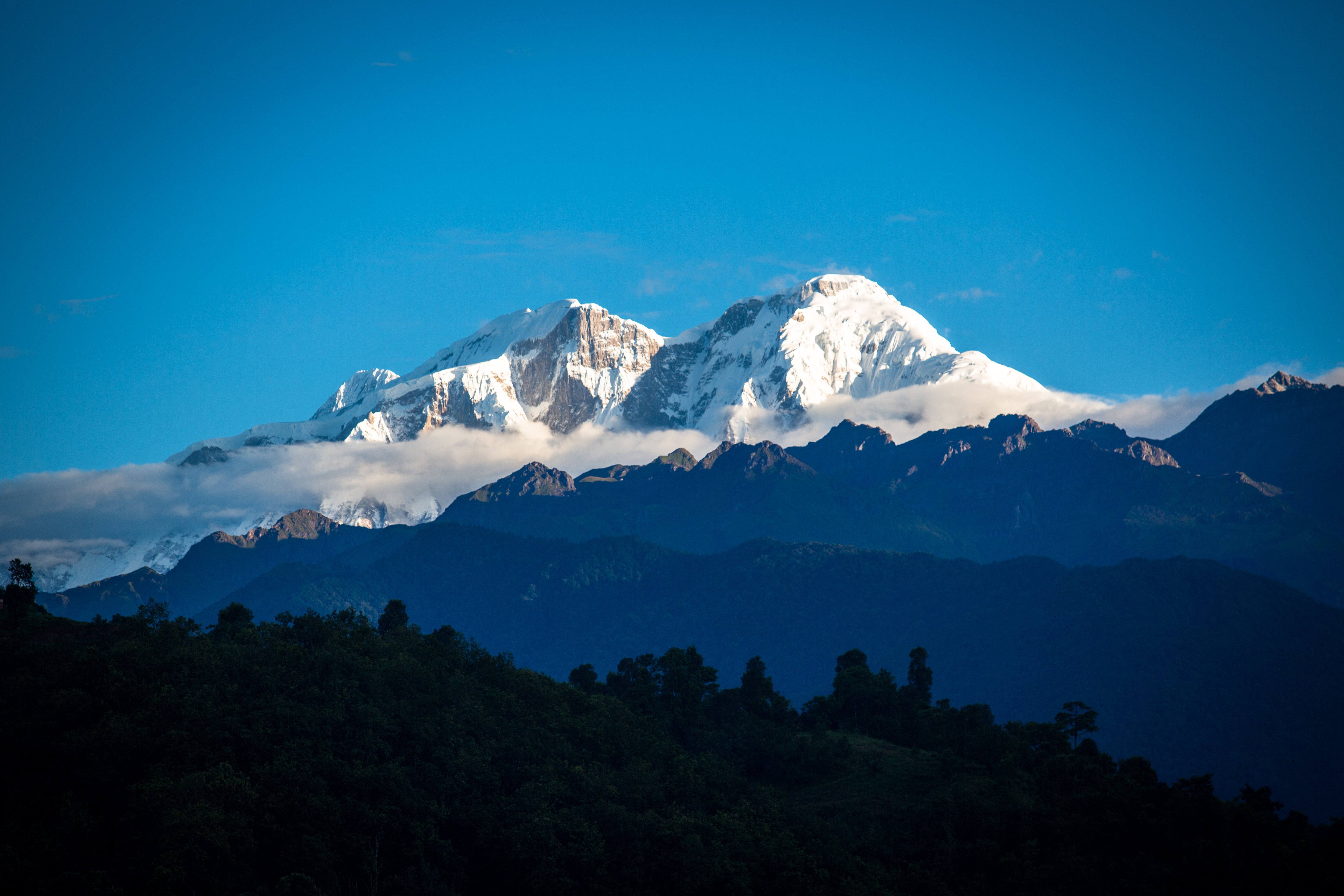
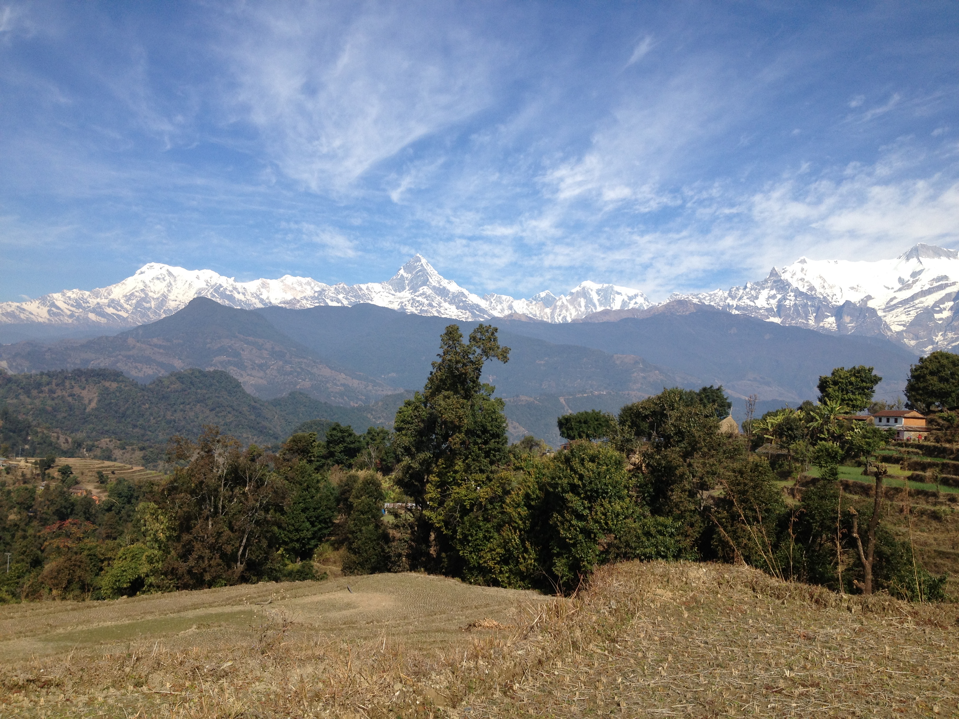
Himalaya mountain

The elderly woman in the village of Nalma, Lamjung, Nepal.
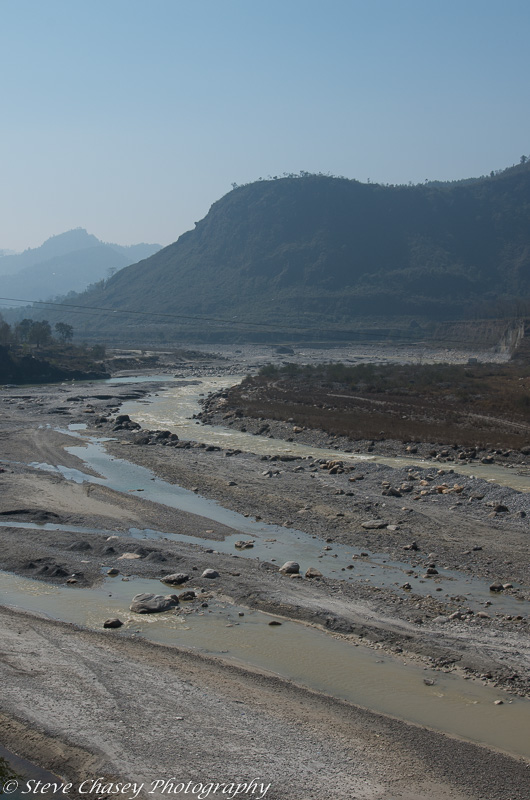
Abandoned land
Topographic Map of Chisapani, Nepal
Find elevation by address:

Places near Chisapani, Nepal:
Bhirchok Kot Mandir भिरचोक कोट मन्दिर
Rupakot Resort Pvt. Ltd.
Rupakot
Thumki
Rupa Lake
Begnas Lake
Lekhnath
53rp+vj3
Thulakot Viewpoint (kalika)
Talchowk
Way To Karputar Mandir
Kalika
Sindure
Kahundada Again Afro Farm
Kahun
Kaski
Hotel Mesokanto
Pokhara
Pokhara Airport
Nayapool Kirana Pasal
Recent Searches:
- Elevation of Zu den Ihlowbergen, Althüttendorf, Germany
- Elevation of Badaber, Peshawar, Khyber Pakhtunkhwa, Pakistan
- Elevation of SE Heron Loop, Lincoln City, OR, USA
- Elevation of Slanický ostrov, 01 Námestovo, Slovakia
- Elevation of Spaceport America, Co Rd A, Truth or Consequences, NM, USA
- Elevation of Warwick, RI, USA
- Elevation of Fern Rd, Whitmore, CA, USA
- Elevation of 62 Abbey St, Marshfield, MA, USA
- Elevation of Fernwood, Bradenton, FL, USA
- Elevation of Felindre, Swansea SA5 7LU, UK