Elevation of Thumki, Nepal
Location: Nepal > Western Region > Gandaki > Lamjung >
Longitude: 84.19
Latitude: 28.15
Elevation: 911m / 2989feet
Barometric Pressure: 91KPa
Elevation Map:
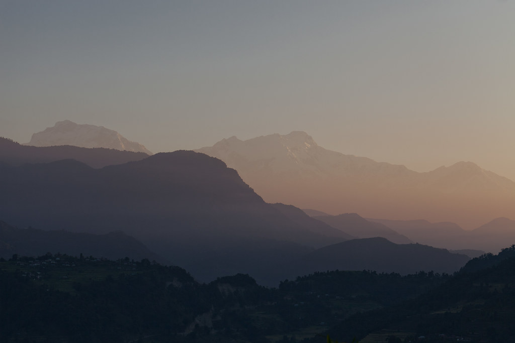
Satellite Map:
Related Photos:
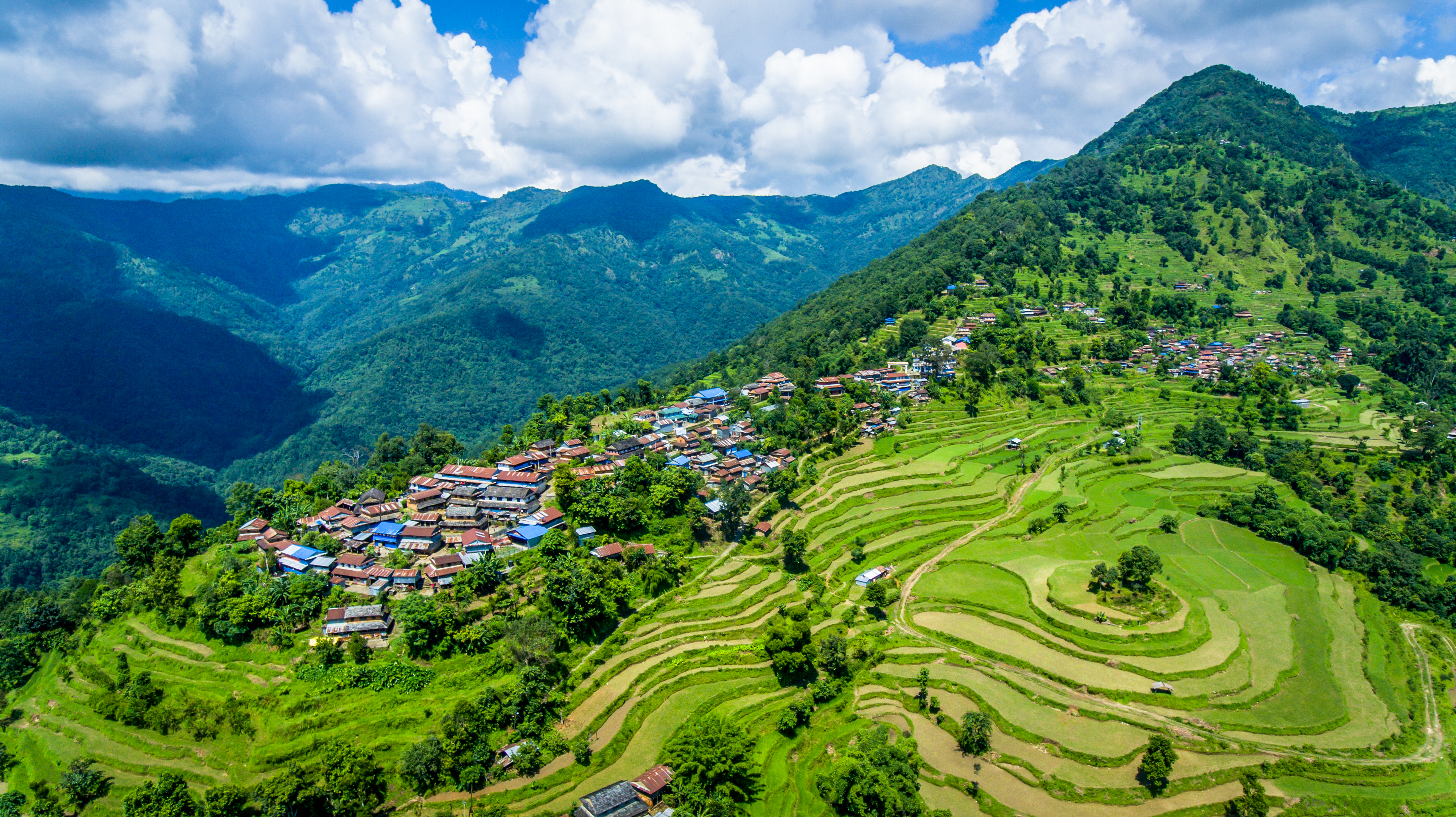
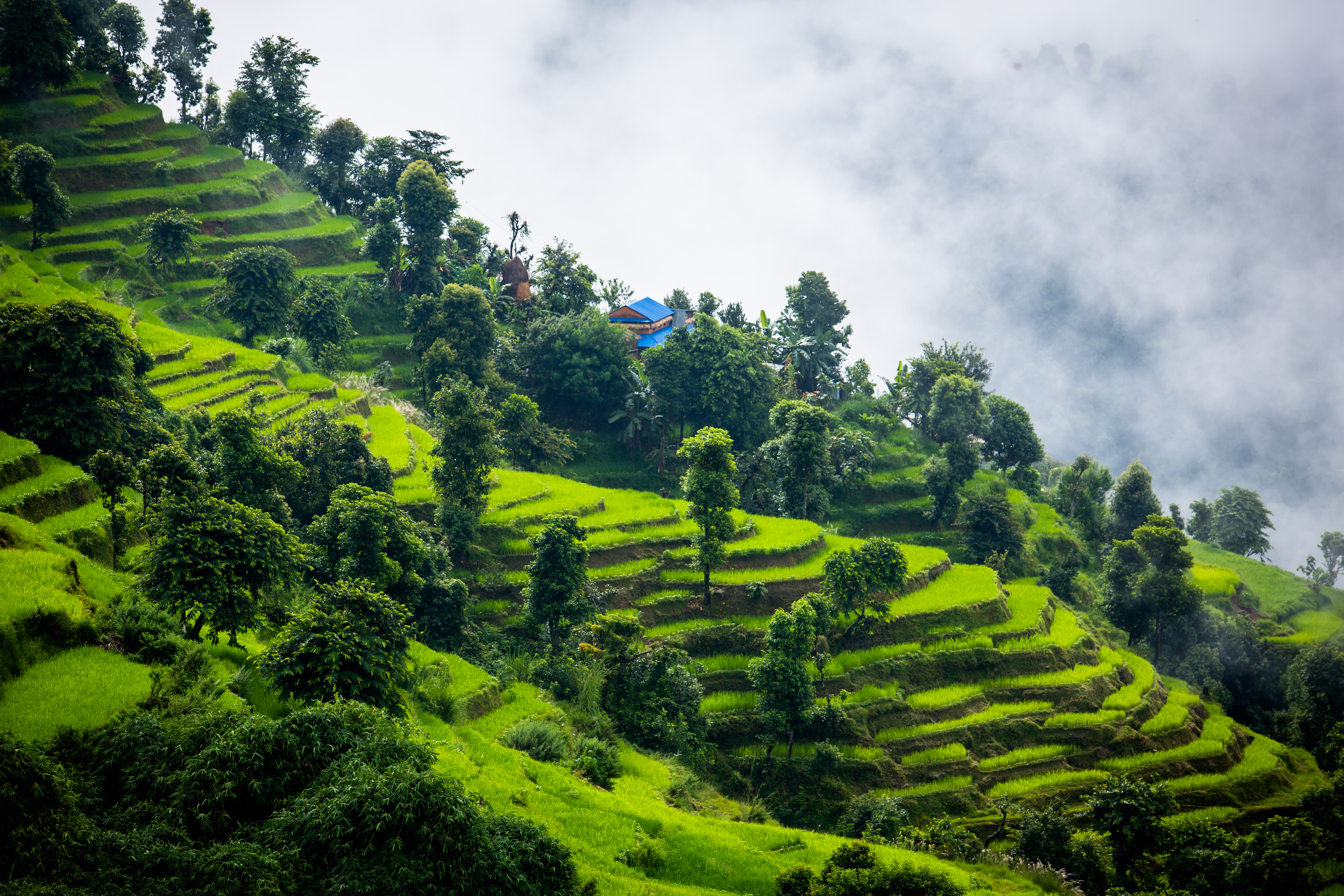
Aerial view of Nalma village
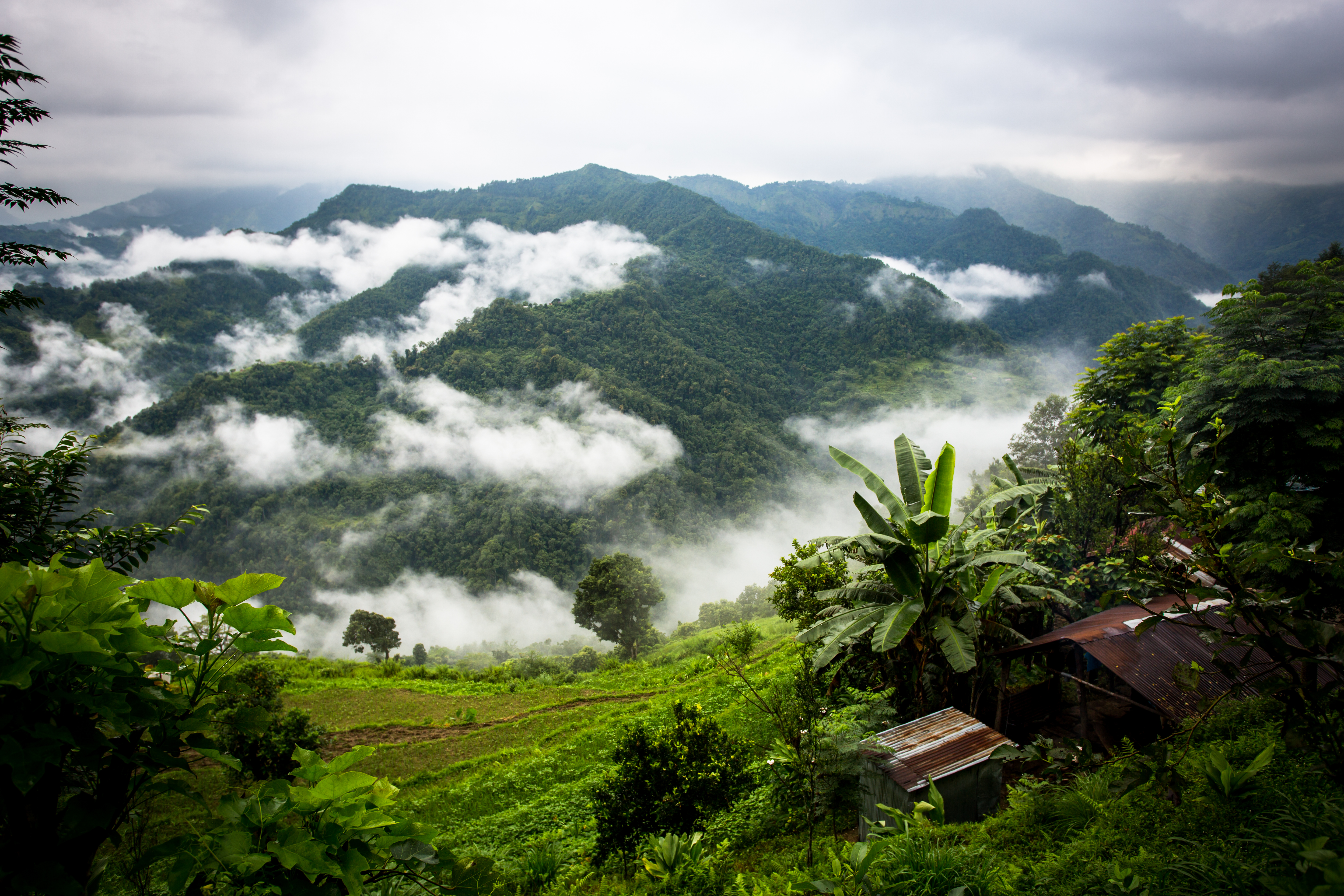
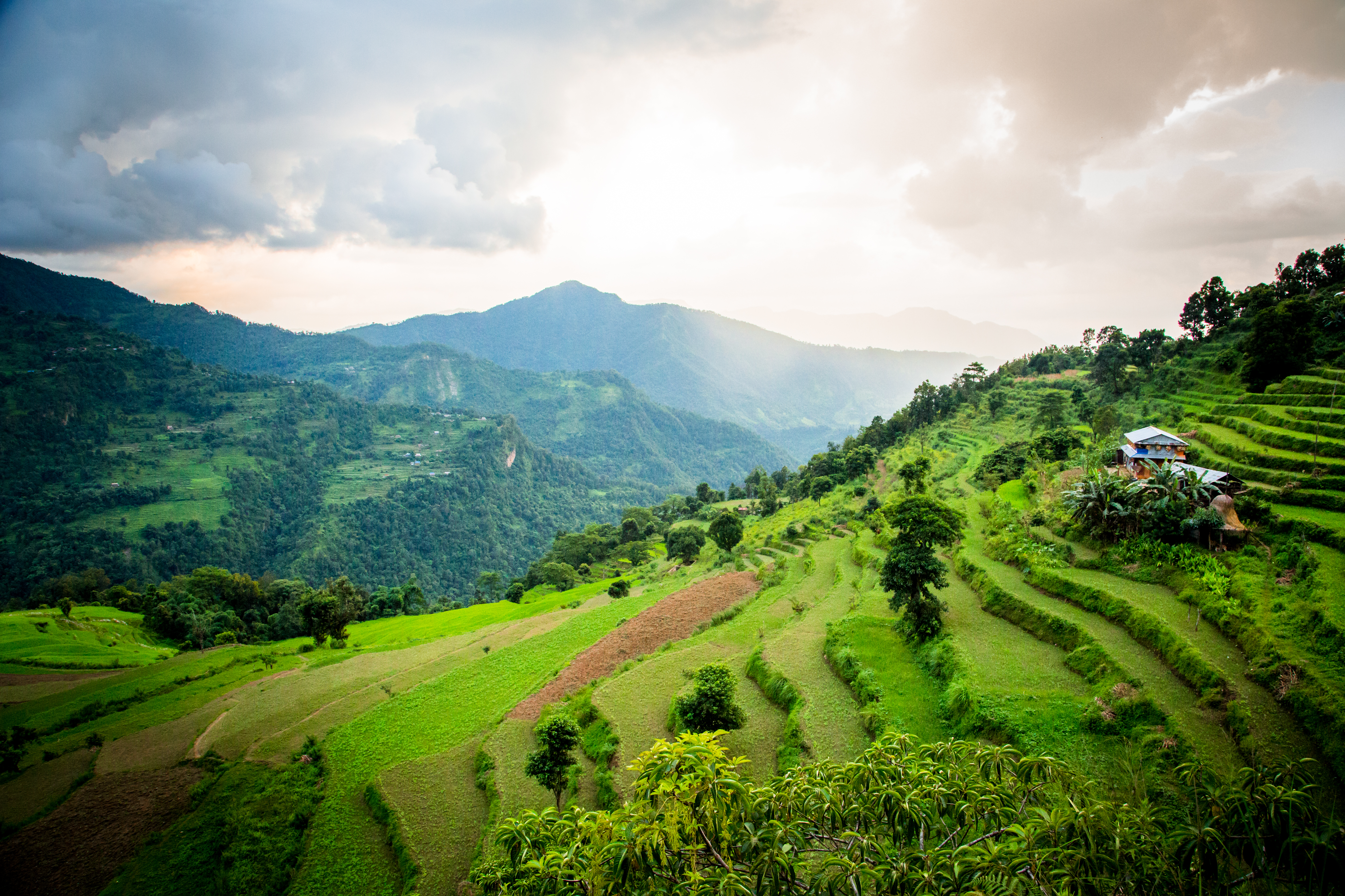
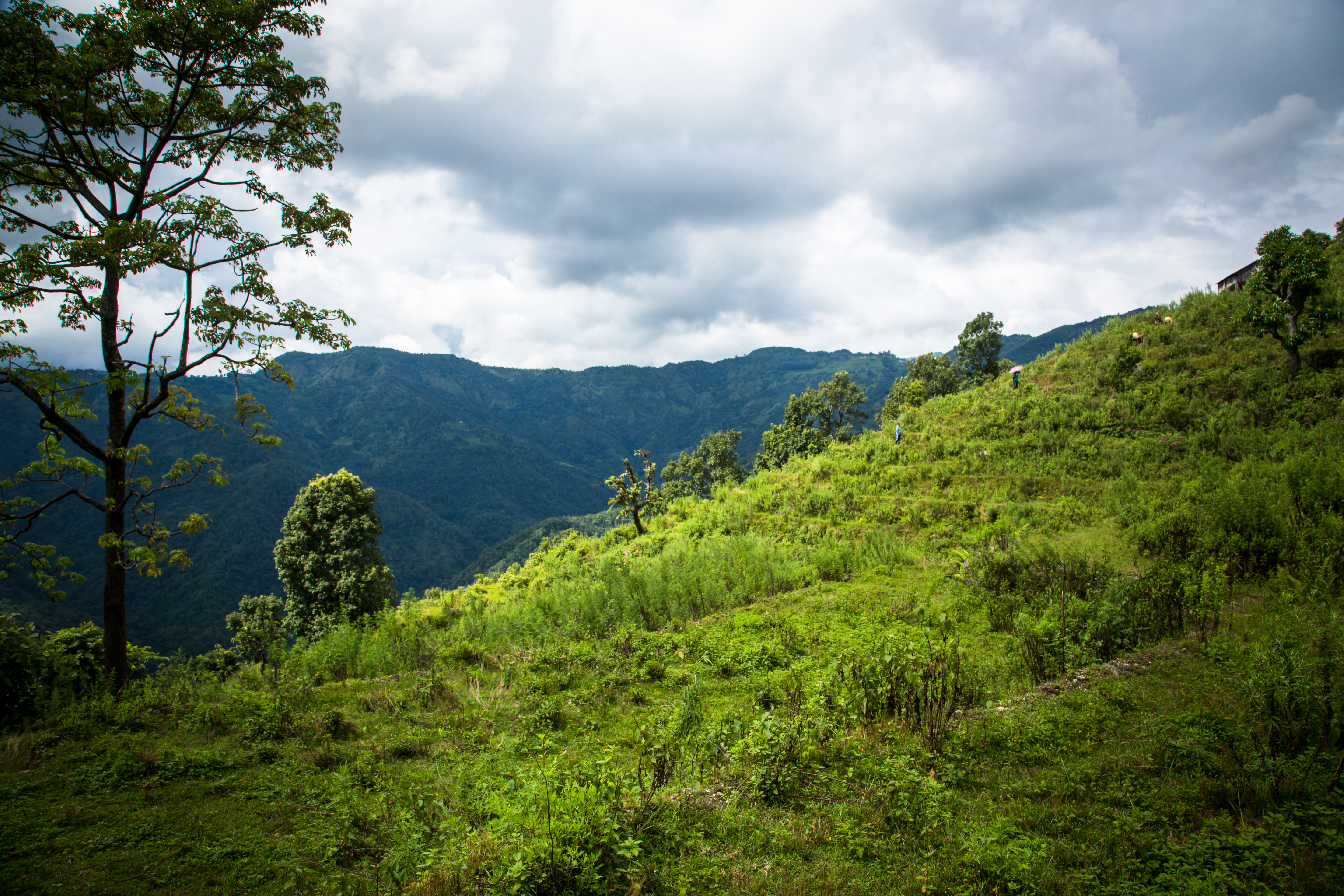
Landscape view in Nalma
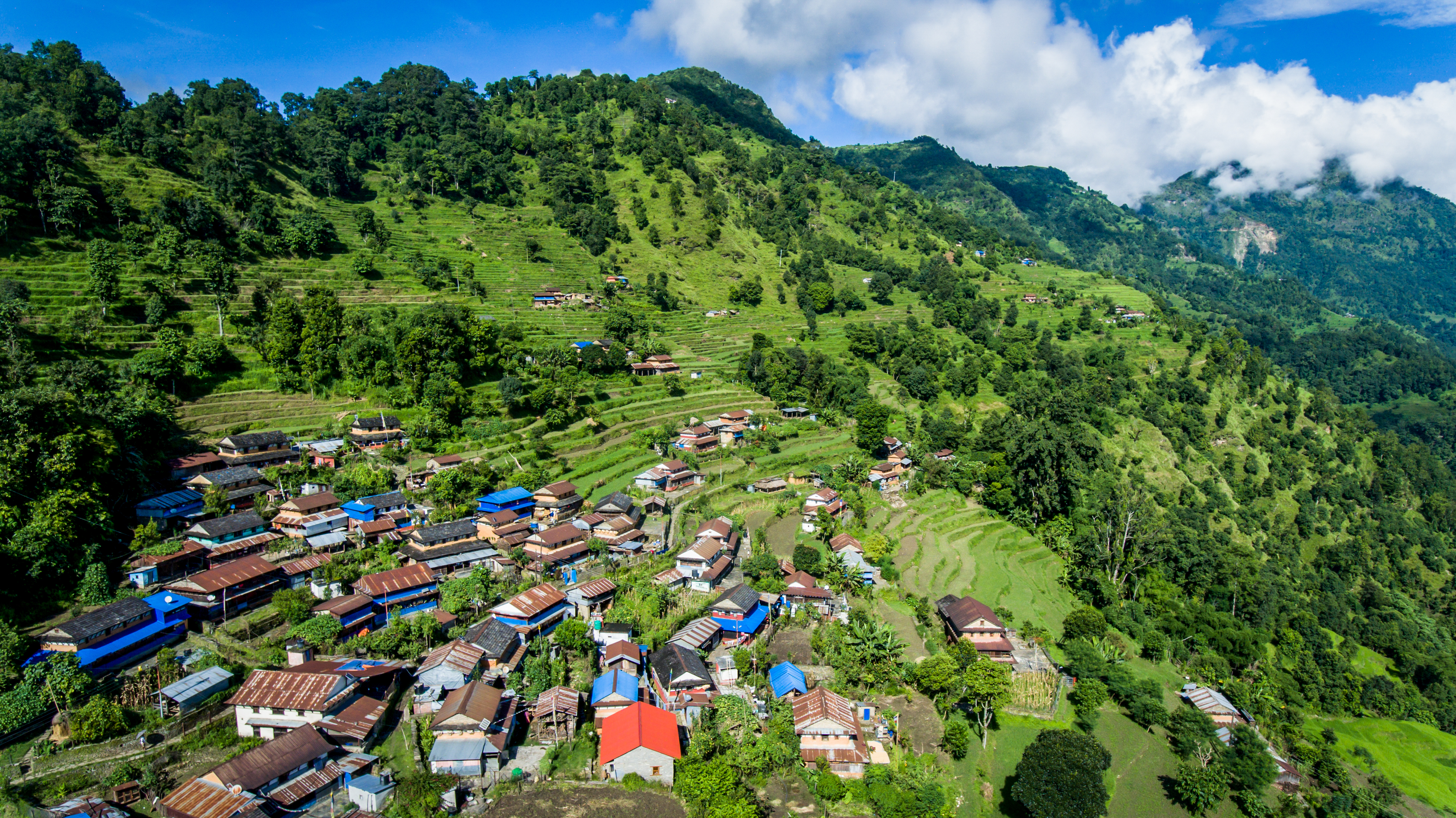
Aerial view of Nalma village
Landscape in Nalma village
Landscape view in Nalma village
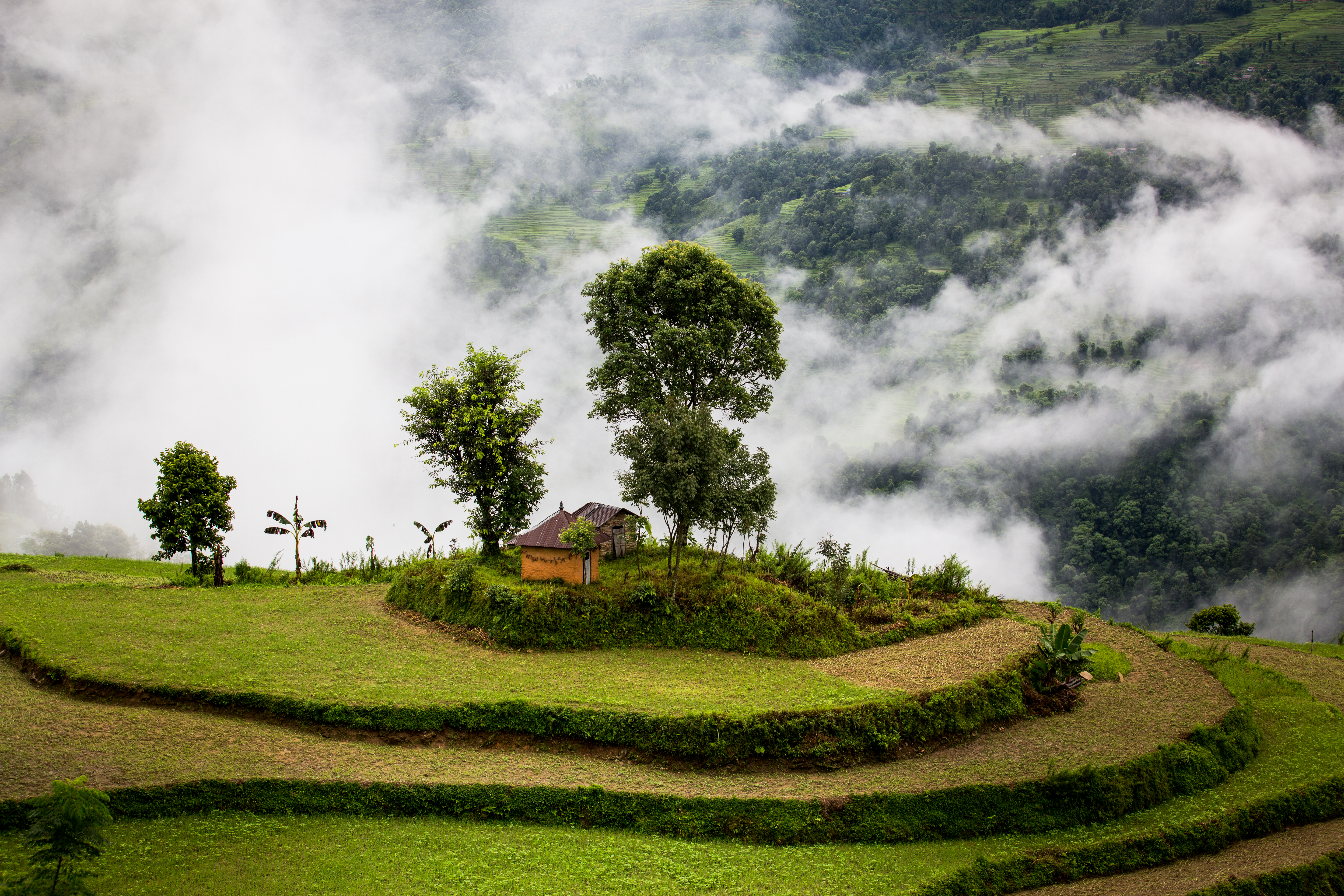
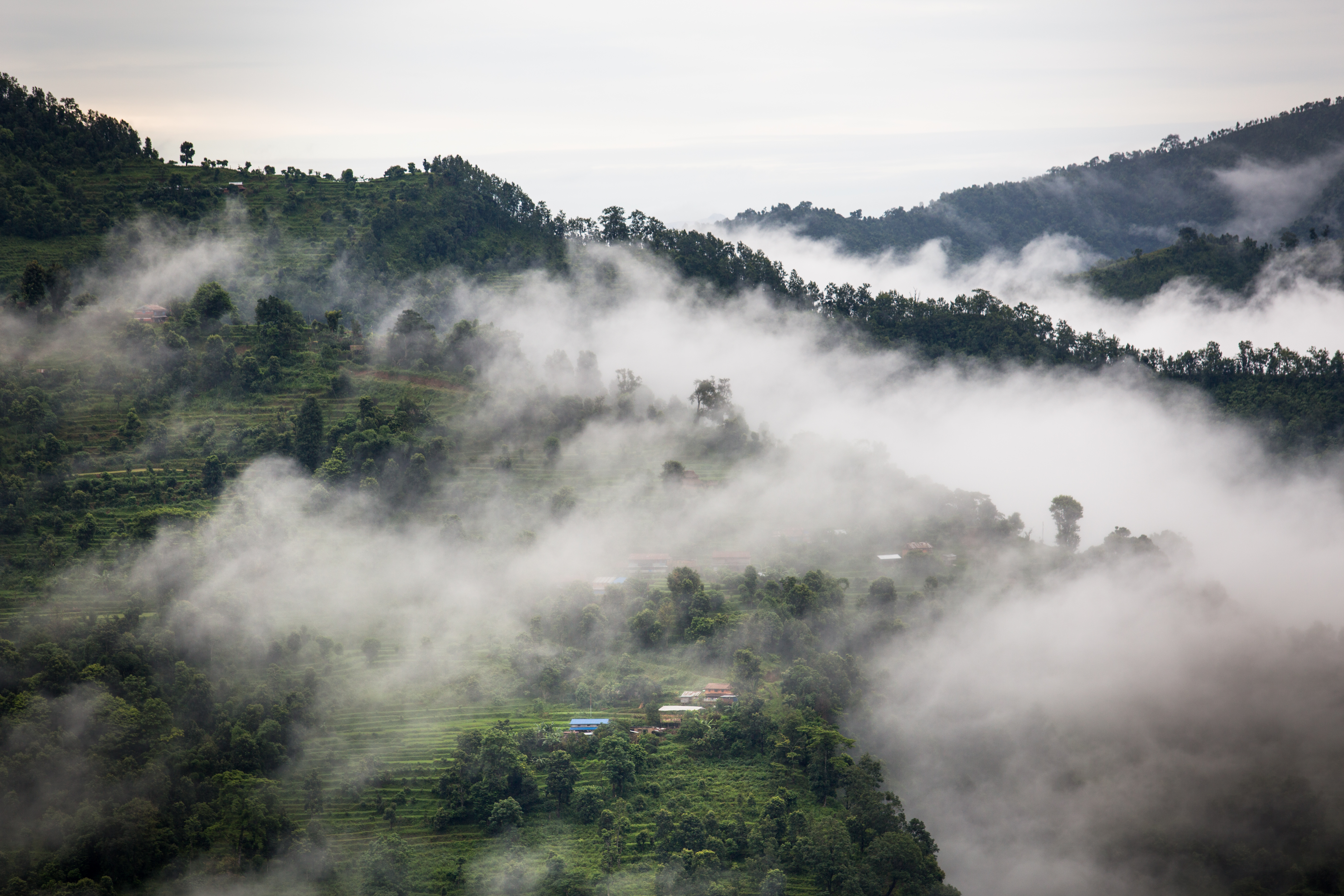
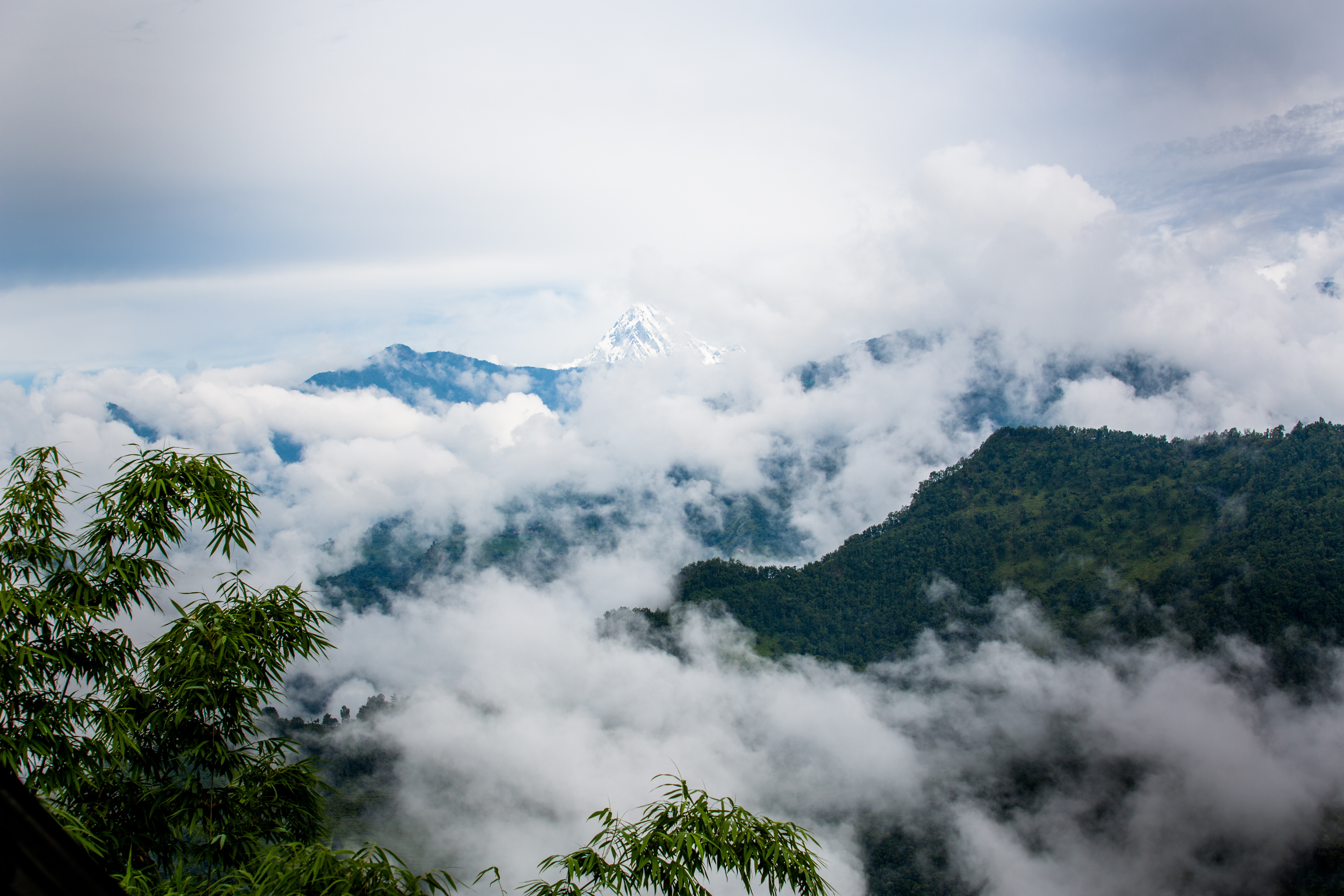
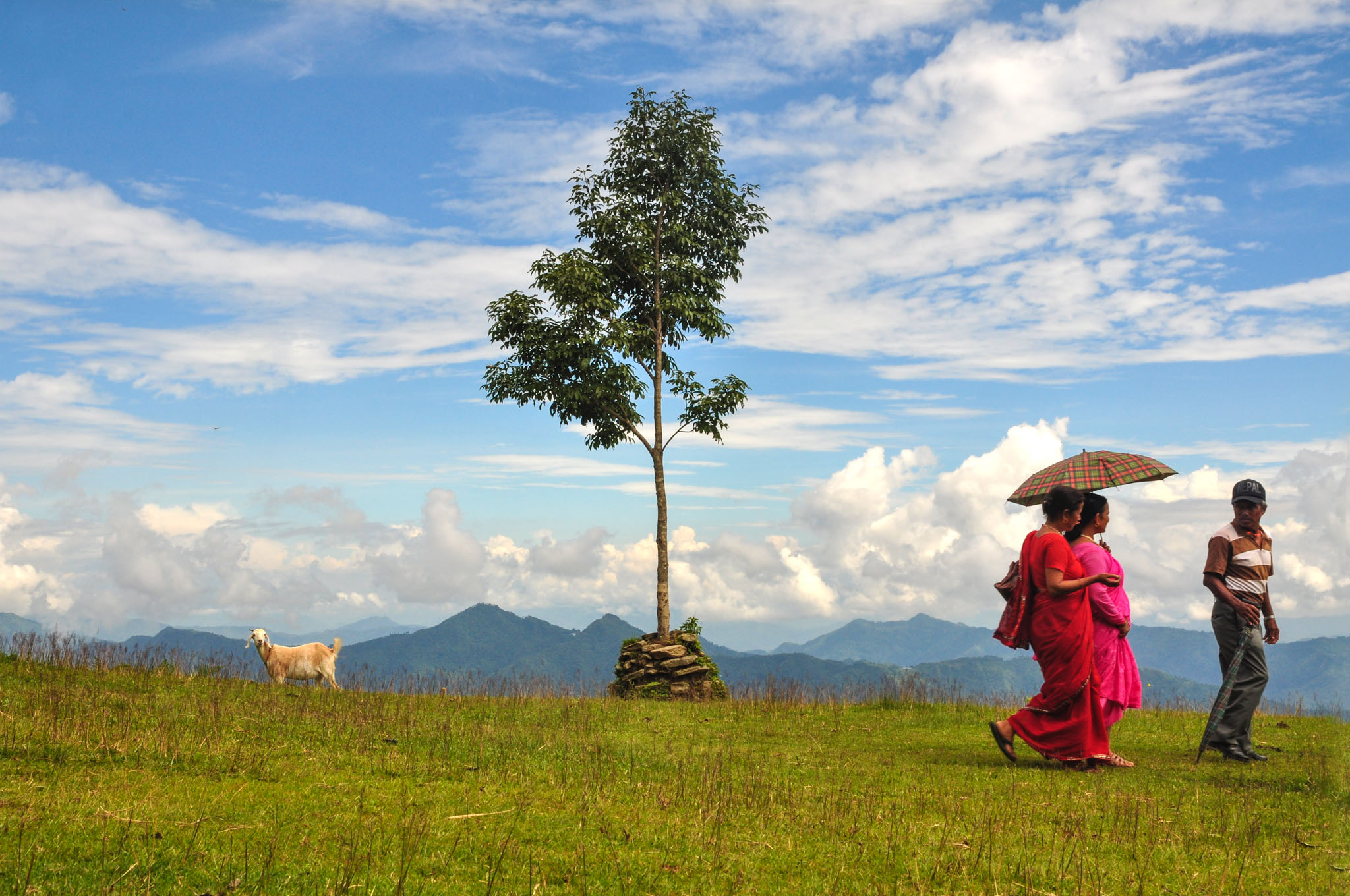
Afternoon view at Nalma village.
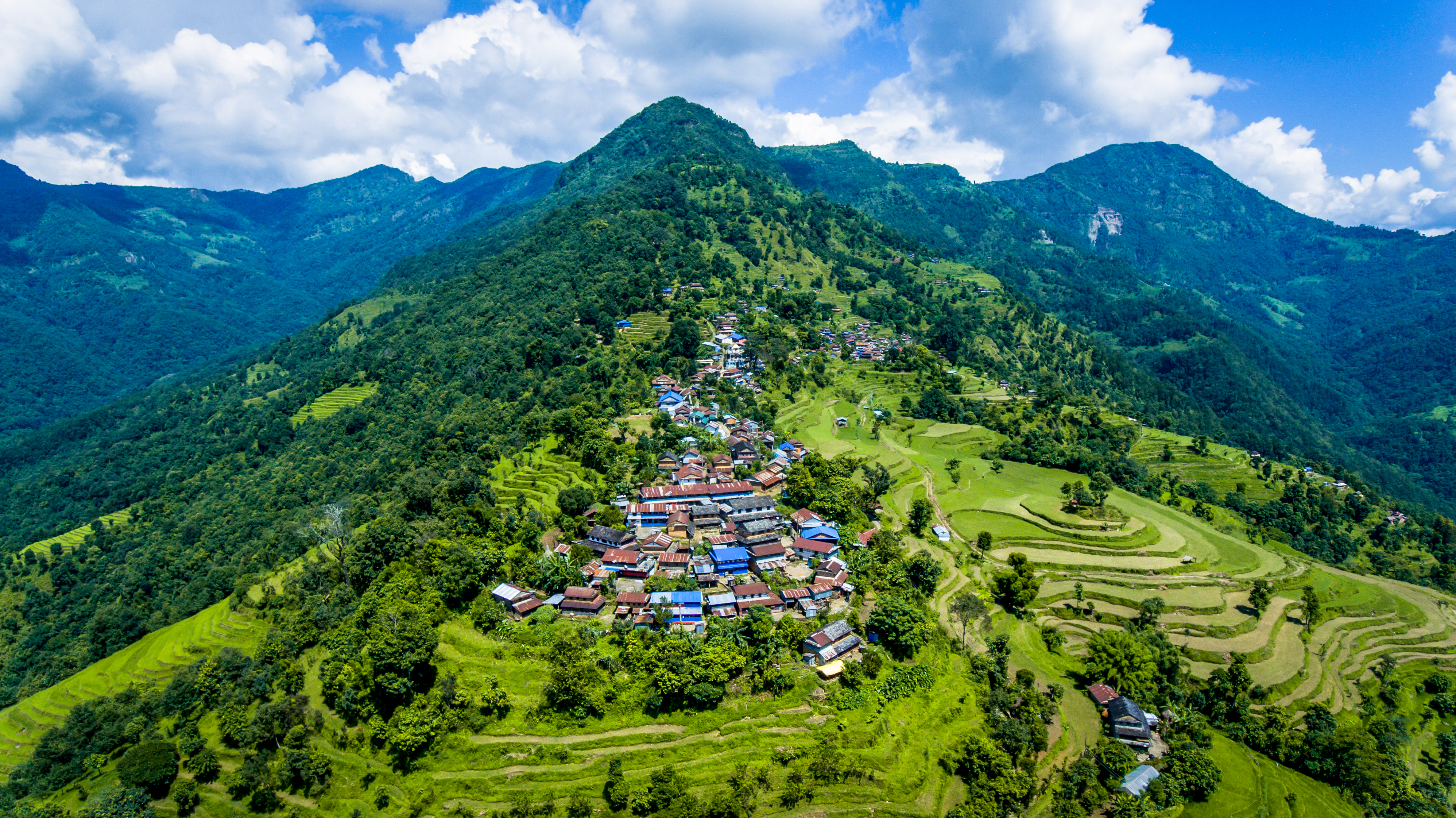
Aerial view of Nalma village
Landscape in Nalma village
Landscape view in Nalma village
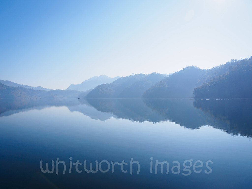
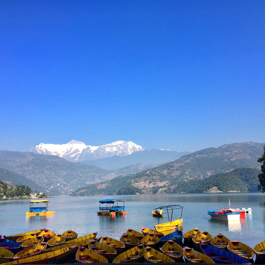
Begnas Tal
K5MkIIs-100214-108

#kanchenjungatrek #mountain #mountains #sky #beautiful #view #scenery #top #nature #hike #hiking #landscape #natureporn #nature_seekers #clouds #ic_landscapes #instanature #cusp #instanaturelover #landscape_lovers #peak #landscapes #amazing #summit #wilde
iphone pictures 107
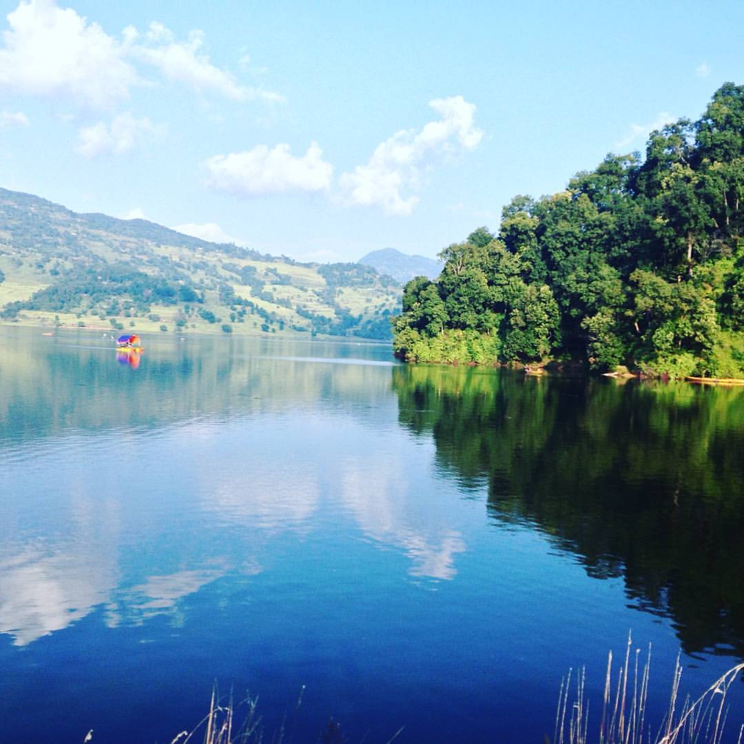
Lake Begnas one afternoon. #Latergram #Clarendon #Pokhara #Lekhnath #Travel #blue #water #lake #reflection

Shanti Tamang
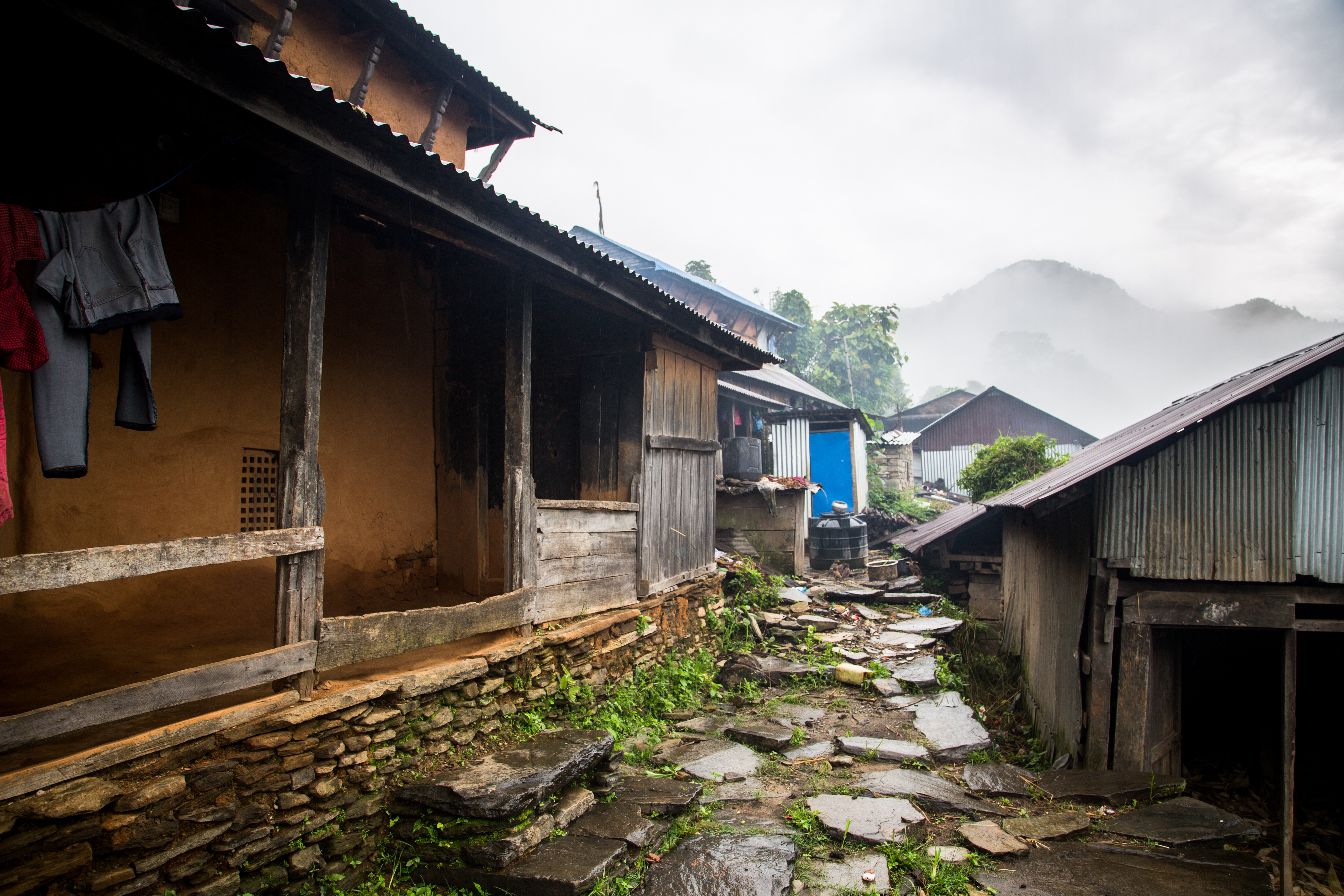
Nalma village

Sita Pariyar in the field
Abandoned land
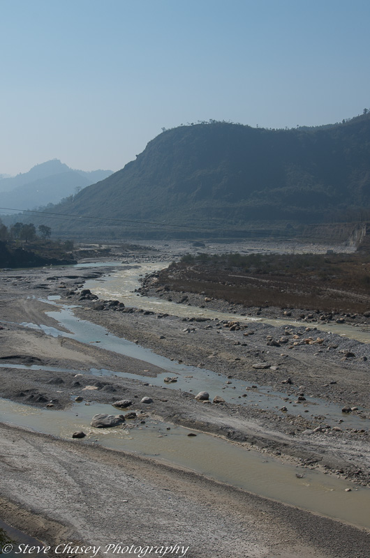
10NP-153-
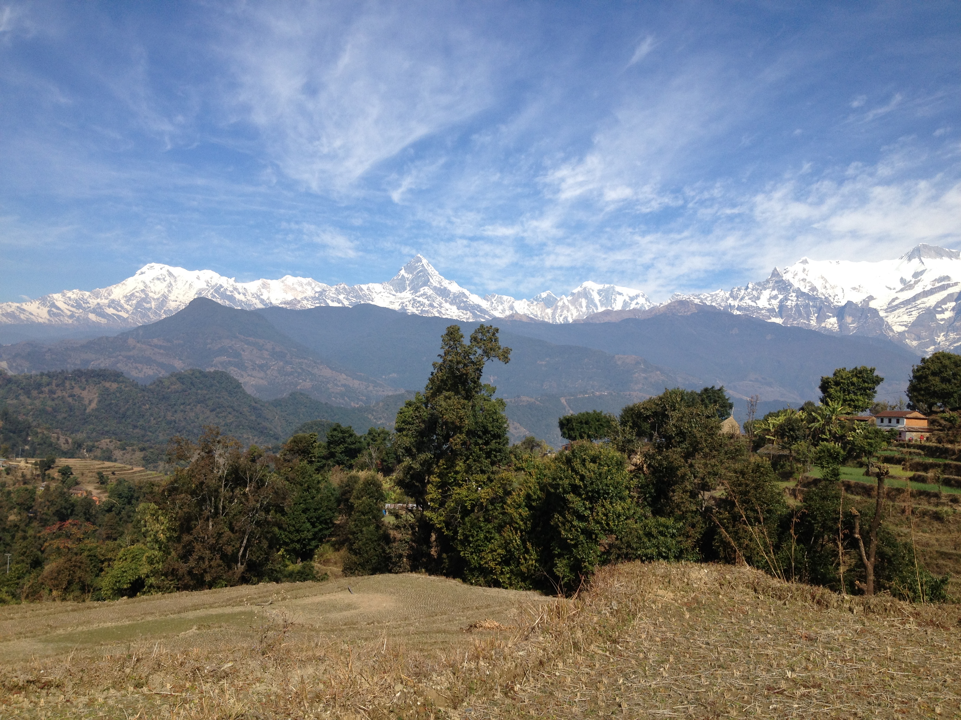
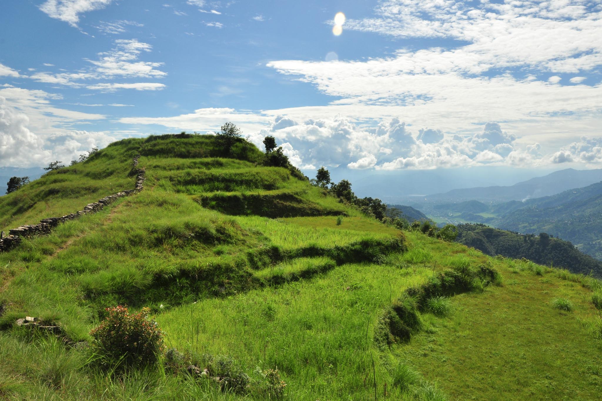
Thulakot hill
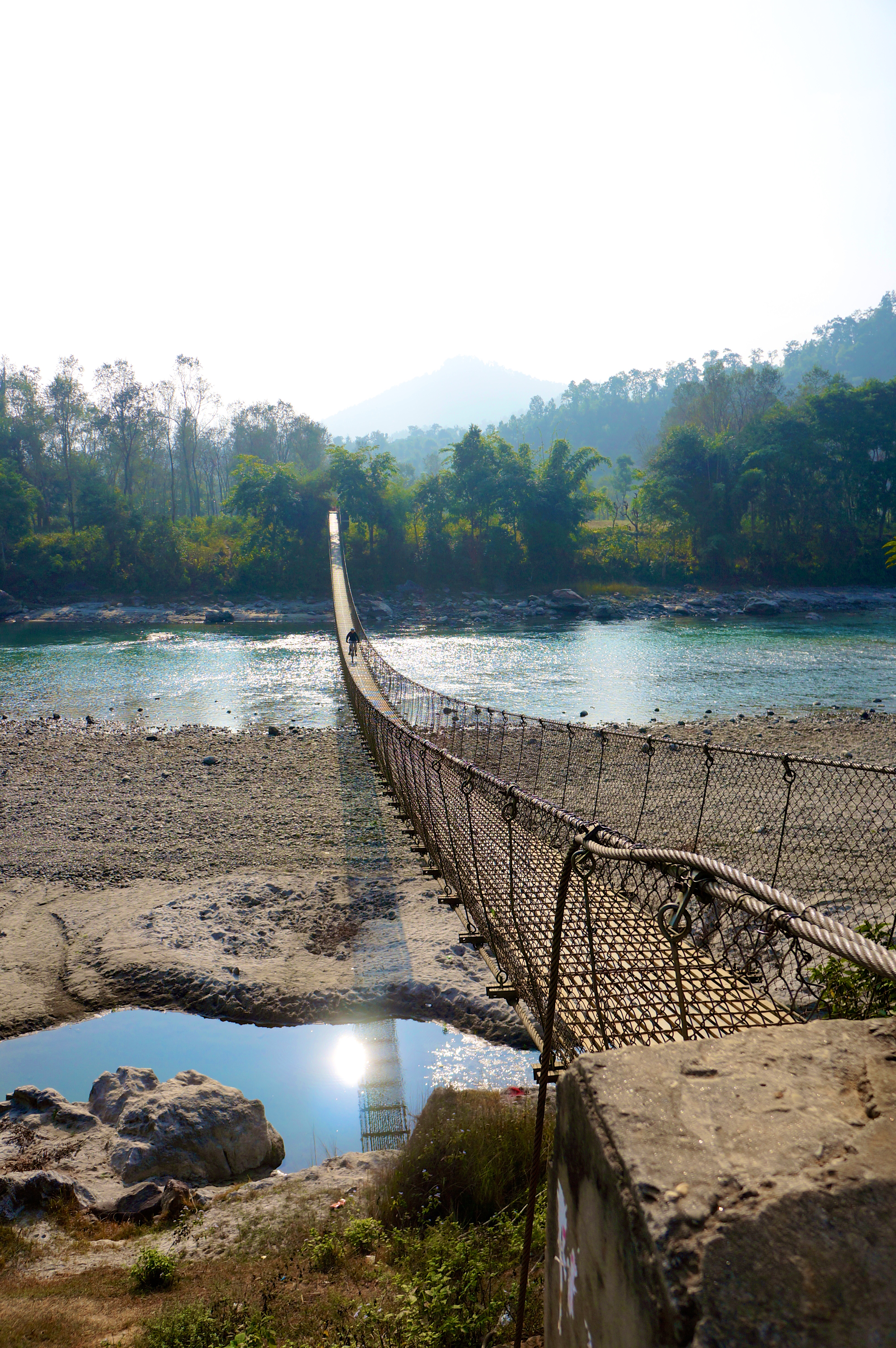
Cycling over a Suspension Bridge
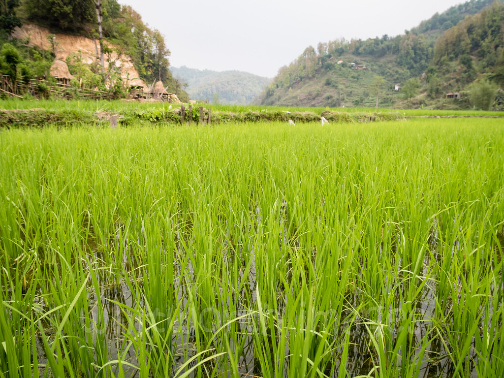
Rice paddies
#begnaslake #boats #boating #mountains #landscape #photography #lake #mountains #bluesky #nature #photonepal

28276E6F-537B-4E23-AD3B-8B506411130C
08 November, 06.38

India Nepal-2963

India Nepal-2976
Topographic Map of Thumki, Nepal
Find elevation by address:

Places near Thumki, Nepal:
Chisapani
Bhirchok Kot Mandir भिरचोक कोट मन्दिर
Rupakot Resort Pvt. Ltd.
Rupakot
Way To Karputar Mandir
Rupa Lake
Begnas Lake
Lekhnath
53rp+vj3
Sindure
Thulakot Viewpoint (kalika)
Talchowk
Kalika
Duradanda
Bhujung
Kahundada Again Afro Farm
Bhujung
Kahun
Besisahar, Lamjung
Kaski
Recent Searches:
- Elevation of Lagasgasan, X+CQH, Tiaong, Quezon, Philippines
- Elevation of Rojo Ct, Atascadero, CA, USA
- Elevation of Flagstaff Drive, Flagstaff Dr, North Carolina, USA
- Elevation of Avery Ln, Lakeland, FL, USA
- Elevation of Woolwine, VA, USA
- Elevation of Lumagwas Diversified Farmers Multi-Purpose Cooperative, Lumagwas, Adtuyon, RV32+MH7, Pangantucan, Bukidnon, Philippines
- Elevation of Homestead Ridge, New Braunfels, TX, USA
- Elevation of Orchard Road, Orchard Rd, Marlborough, NY, USA
- Elevation of 12 Hutchinson Woods Dr, Fletcher, NC, USA
- Elevation of Holloway Ave, San Francisco, CA, USA