Elevation of El Roblar St, Maricopa, CA, USA
Location: United States > California > Santa Barbara County >
Longitude: -119.46861
Latitude: 34.830931
Elevation: 887m / 2910feet
Barometric Pressure: 91KPa
Elevation Map:
Satellite Map:
Related Photos:
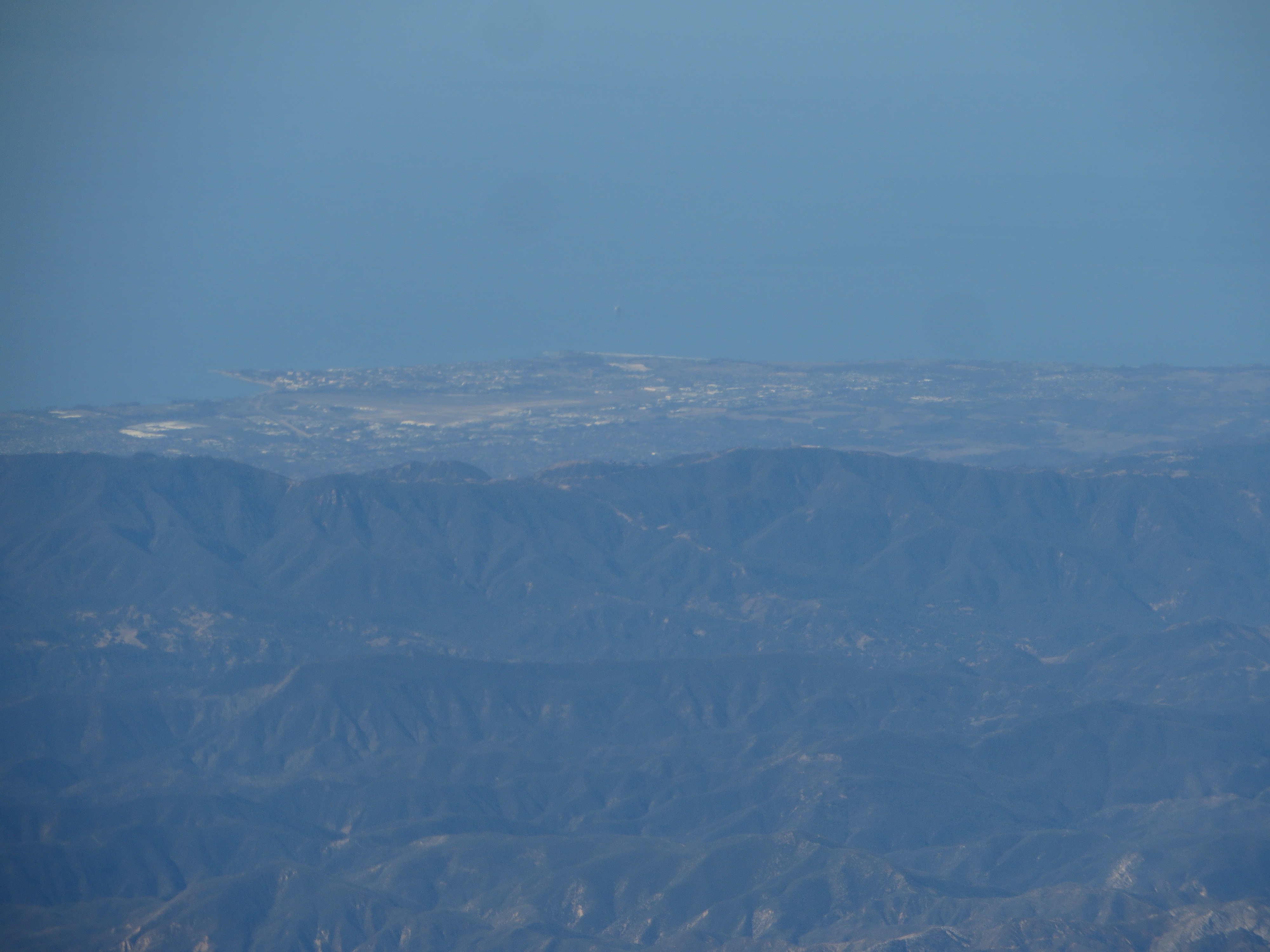
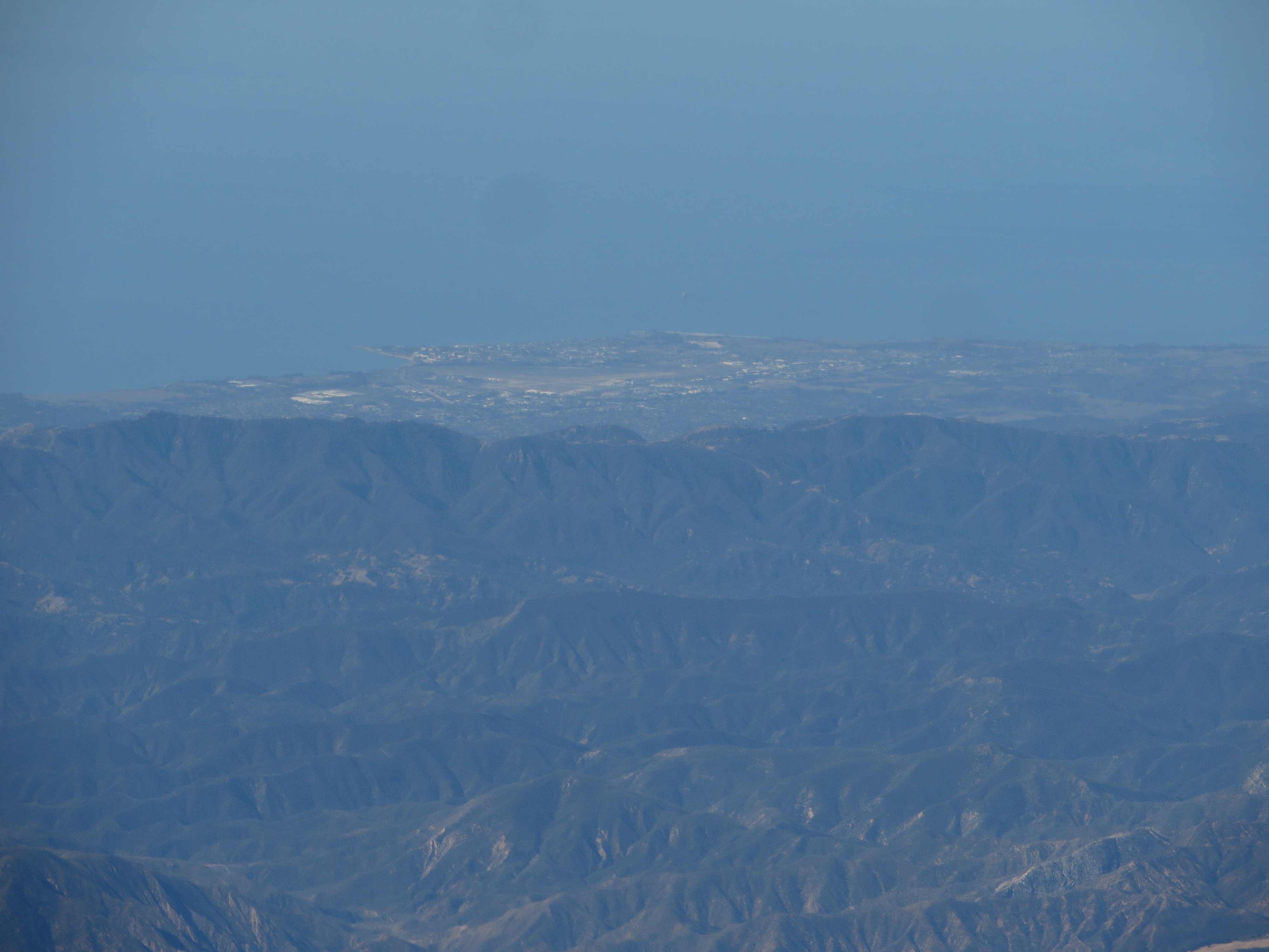
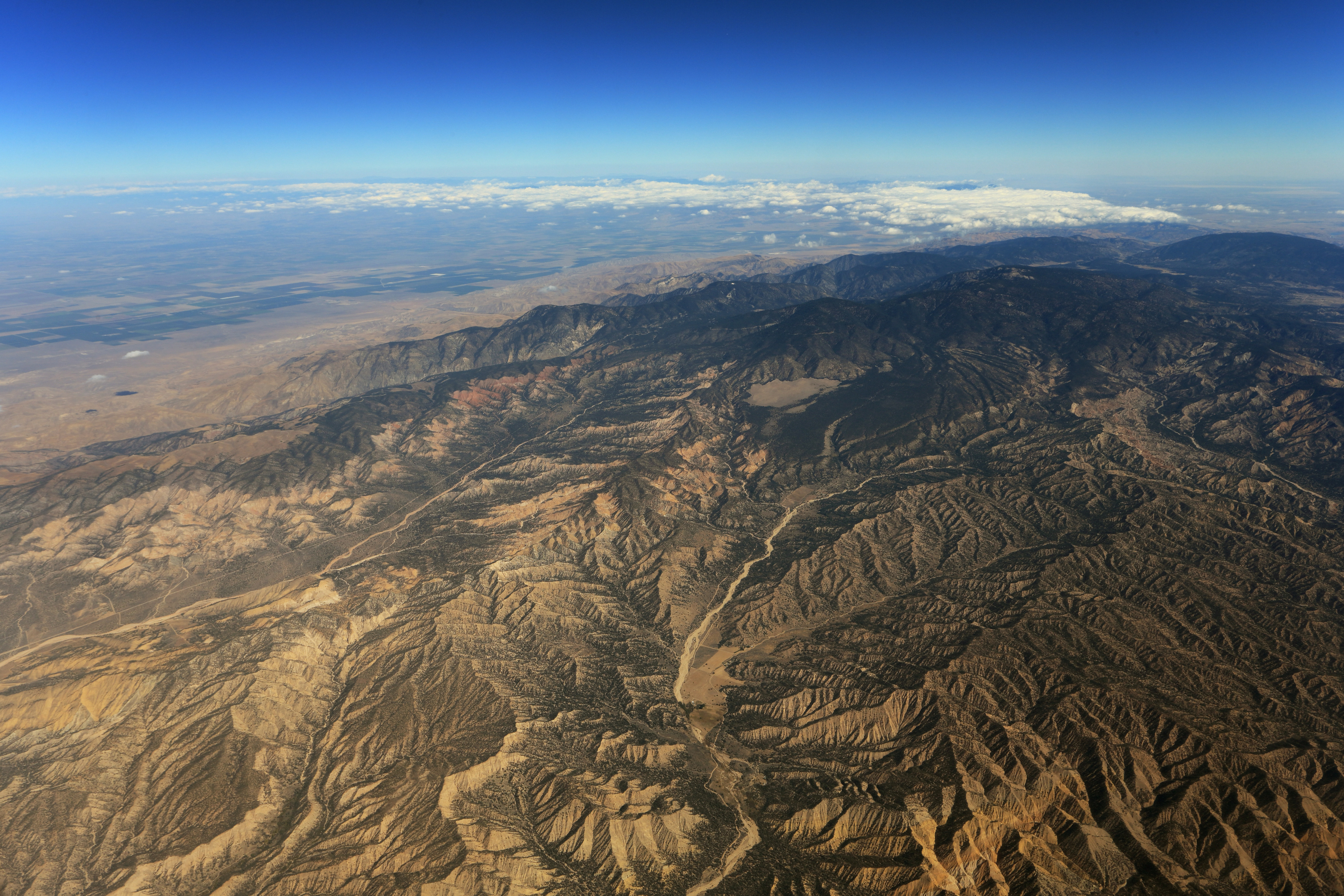
Air Travel- Ballinger Canyon

Dreaming of Carrizo
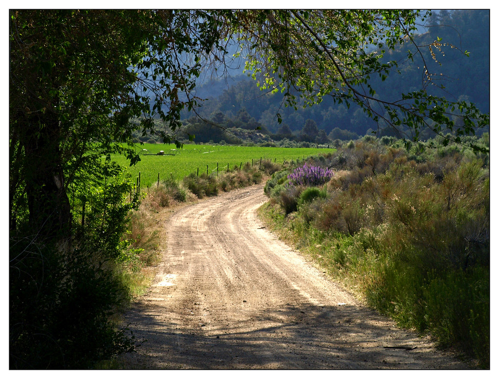
Dry Gulch Looking Stream
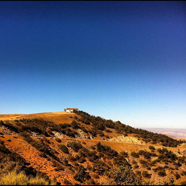
Looking SSE from Cerro Noroests Rd.(2) - hdr hyper cross view 3d
Isla Vista, California
Isla Vista, California
Isla Vista, California
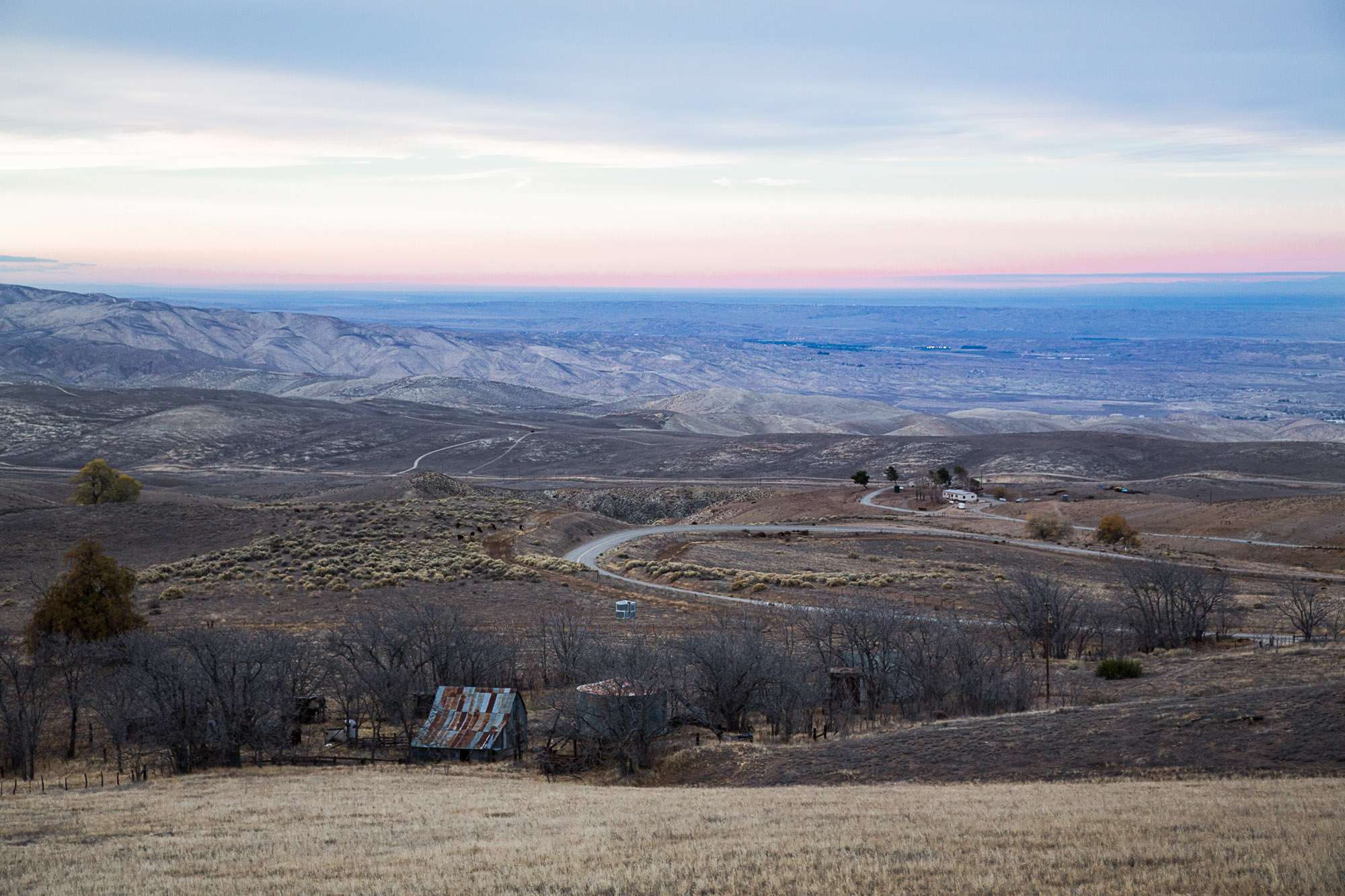
View of San Joaquin Valley from San Emigdio Mountains
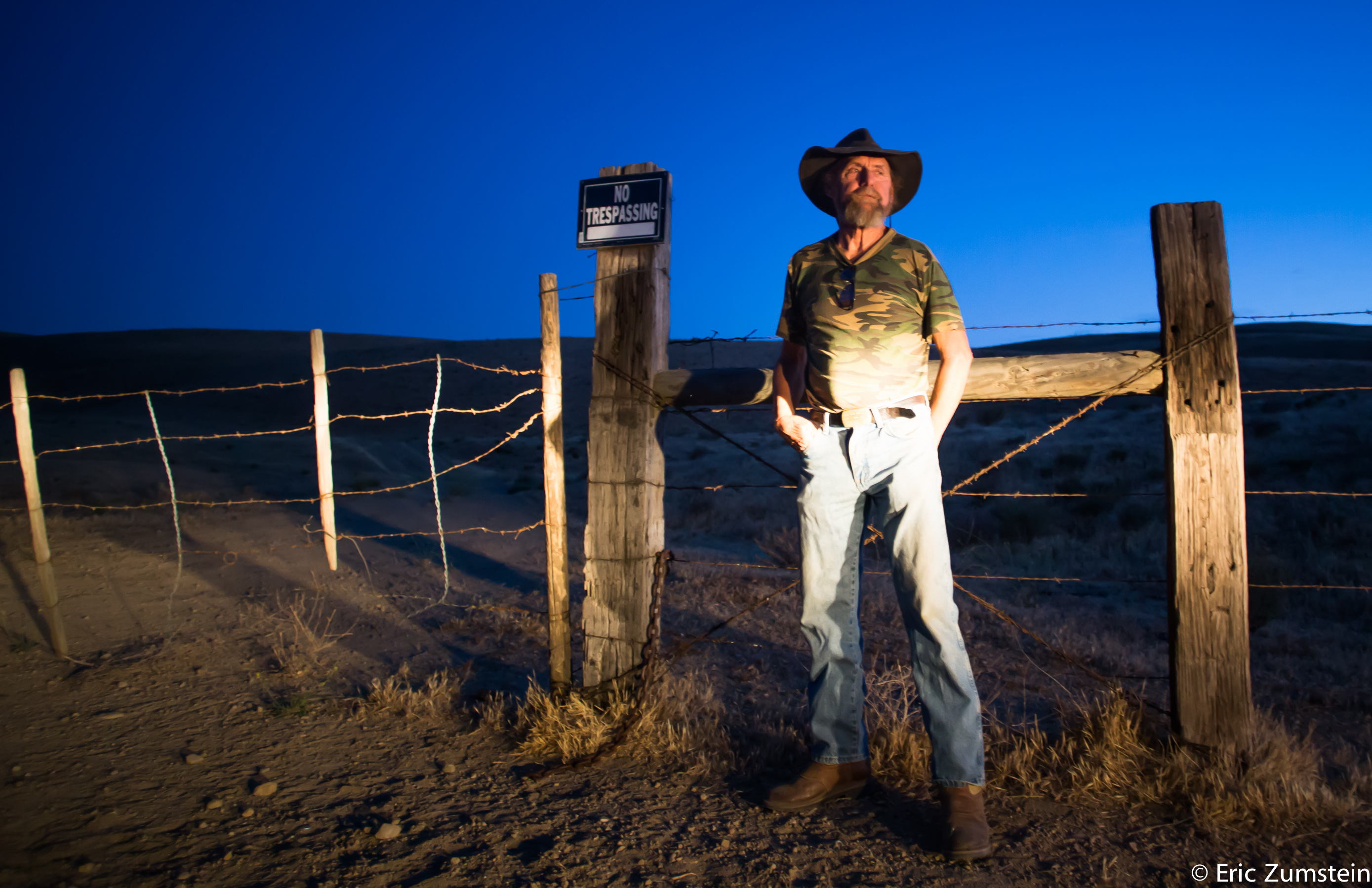
Bill Lewis aka Lone Wolf 2/100

Santa Ynez Valley, California
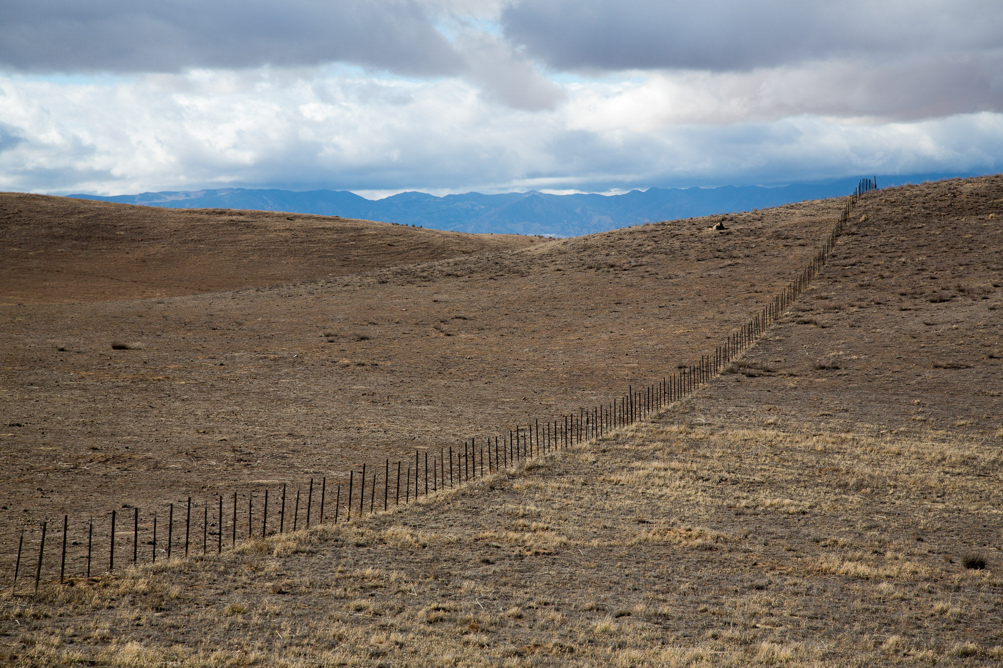
On a hill top
This side, that side
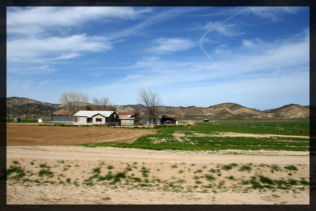
Erro Ranch

Carrizo Plains

So long to 2014!

Carizzo from Outside
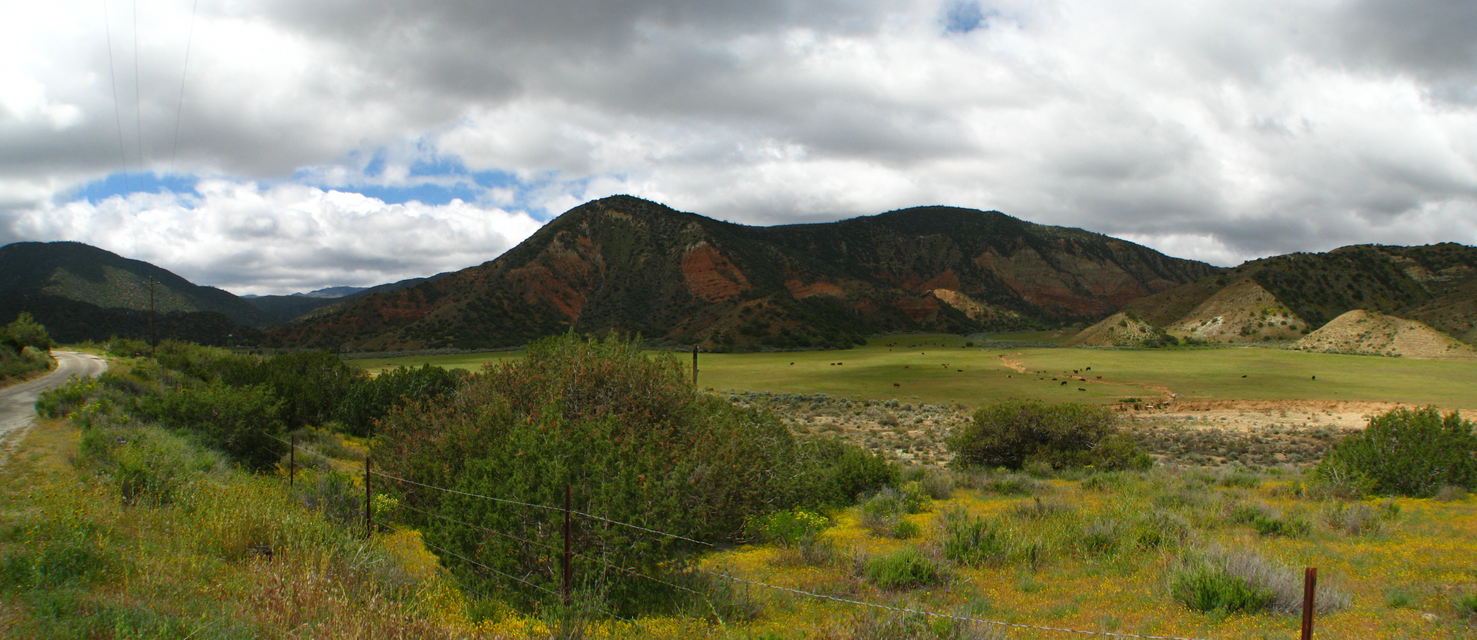
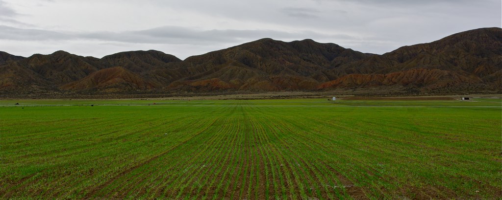
Santa Barbara Canyon
Air Travel - Mount Pinos
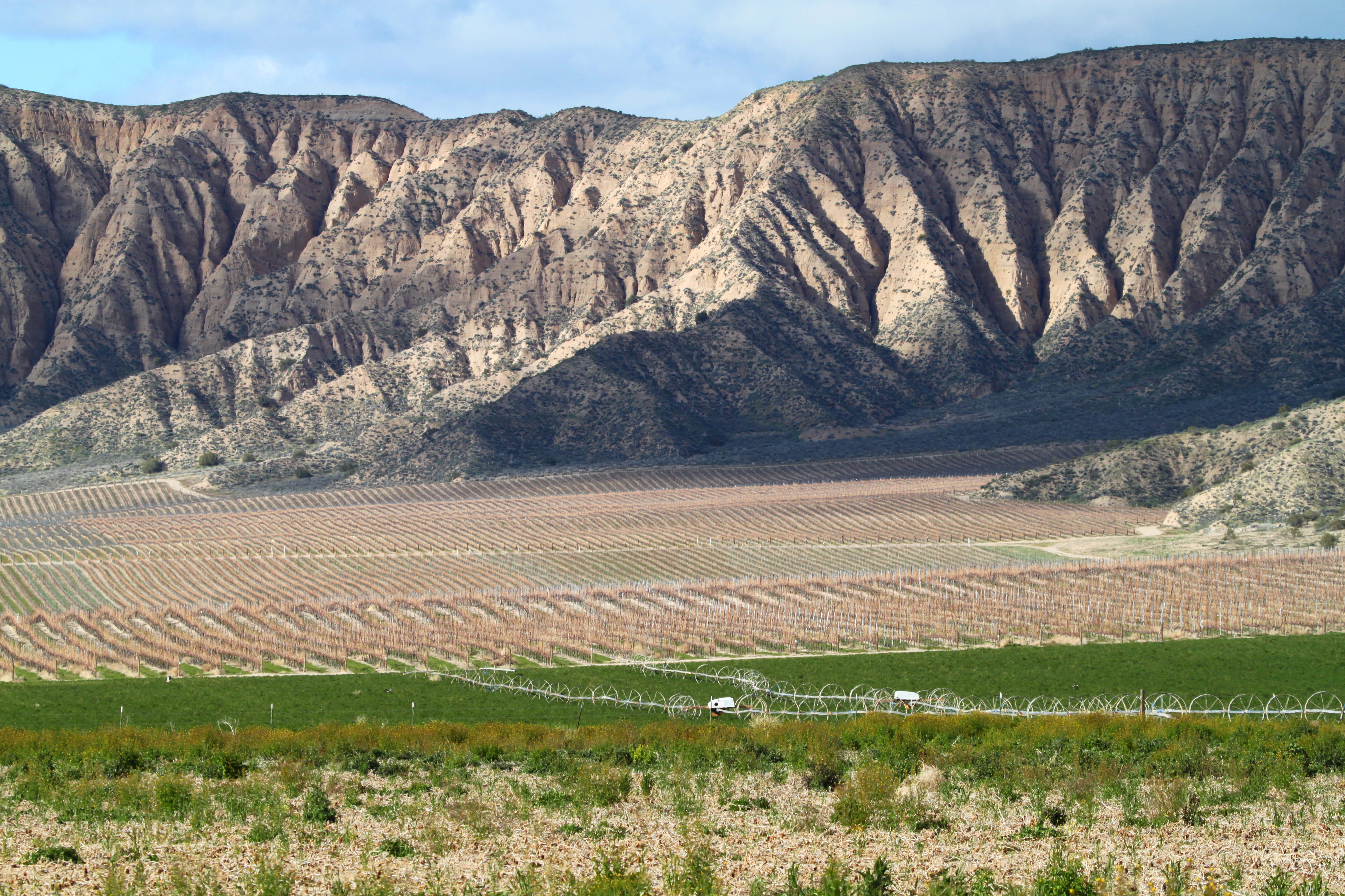
ventucopa vineyards

Blue sky over the Carrizo Plains

Quatal Canyon-LPF
Apache Canyon Spring
Cuyama Highway (State Highway 166)

Tinta Canyon,
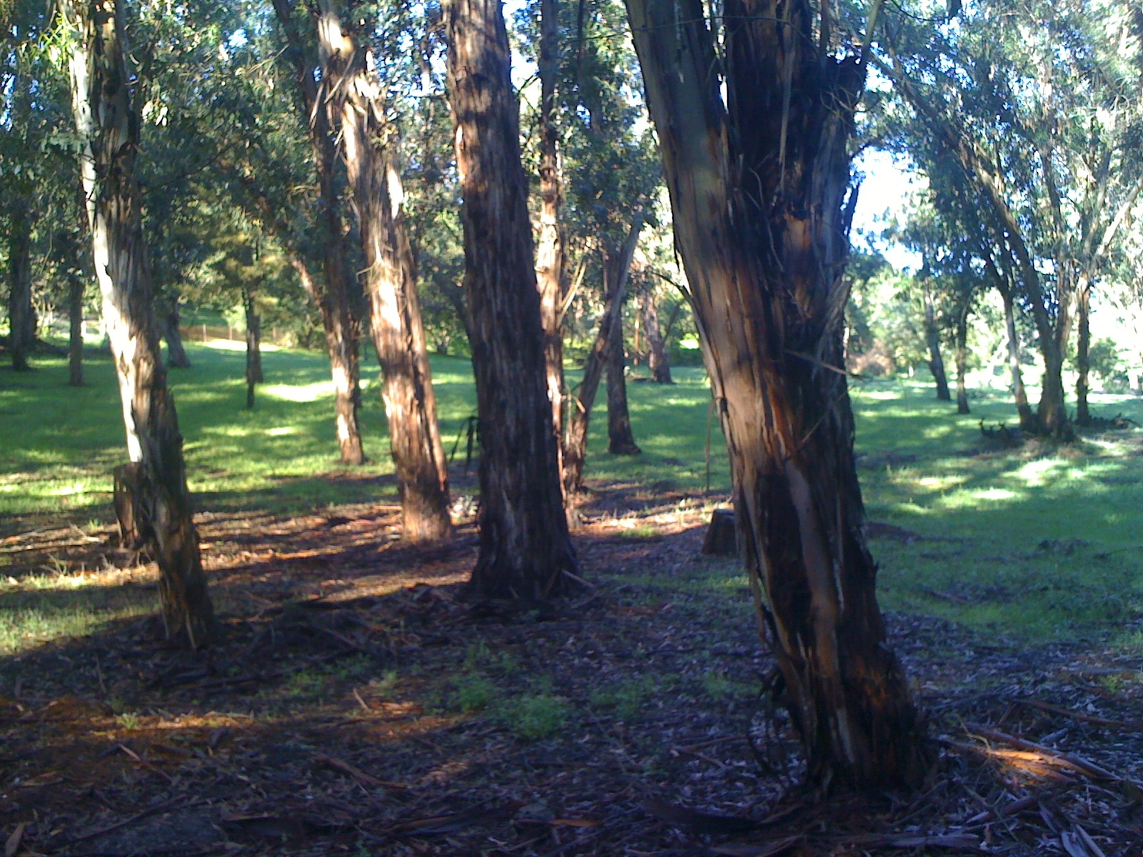
Eucalyptus grove in Montecito
Topographic Map of El Roblar St, Maricopa, CA, USA
Find elevation by address:

Places near El Roblar St, Maricopa, CA, USA:
3700 Ca-33
Reyes Creek Campground
Western Minerals Rd, Maricopa, CA, USA
Maricopa
Brush Mountain
Reyes Peak
San Emigdio Mountain
2105 Pinewood Ct
900 Arroyo Way
1421 Banff Dr
1513 Banff Dr
Pine Mountain Club Real Estate
1324 Banff Dr
Peak To Peak Realty, Pine Mountain Club Ca
Philippine St, Taft, CA, USA
16240 Askin Dr
1505 Bernina Dr
Copus Rd, Bakersfield, CA, USA
1821 Bernina Dr
2616 Teakwood Ct
Recent Searches:
- Elevation of Spaceport America, Co Rd A, Truth or Consequences, NM, USA
- Elevation of Warwick, RI, USA
- Elevation of Fern Rd, Whitmore, CA, USA
- Elevation of 62 Abbey St, Marshfield, MA, USA
- Elevation of Fernwood, Bradenton, FL, USA
- Elevation of Felindre, Swansea SA5 7LU, UK
- Elevation of Leyte Industrial Development Estate, Isabel, Leyte, Philippines
- Elevation of W Granada St, Tampa, FL, USA
- Elevation of Pykes Down, Ivybridge PL21 0BY, UK
- Elevation of Jalan Senandin, Lutong, Miri, Sarawak, Malaysia