Elevation of Philippine St, Taft, CA, USA
Location: United States > California > Kern County > Taft >
Longitude: -119.47168
Latitude: 35.134803
Elevation: 355m / 1165feet
Barometric Pressure: 97KPa
Elevation Map:
Satellite Map:
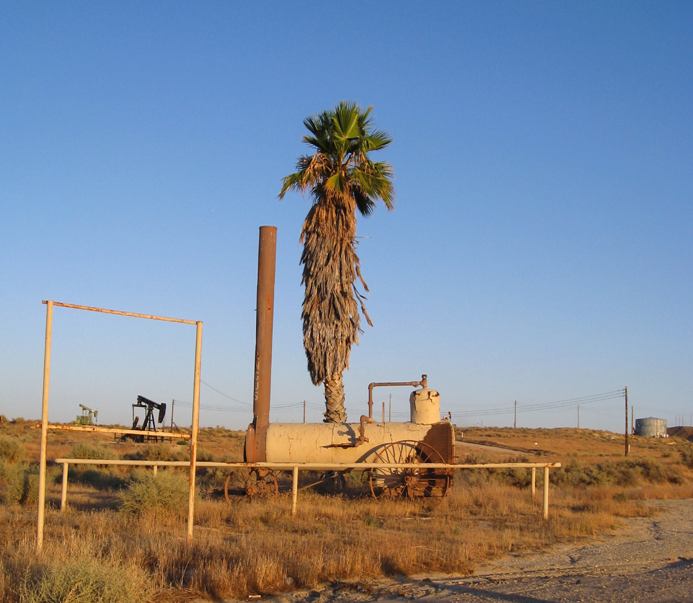
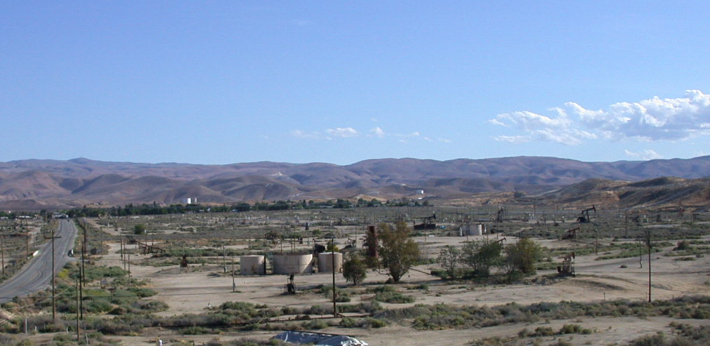
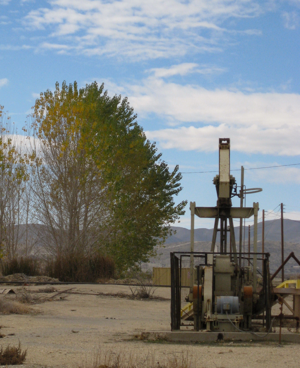
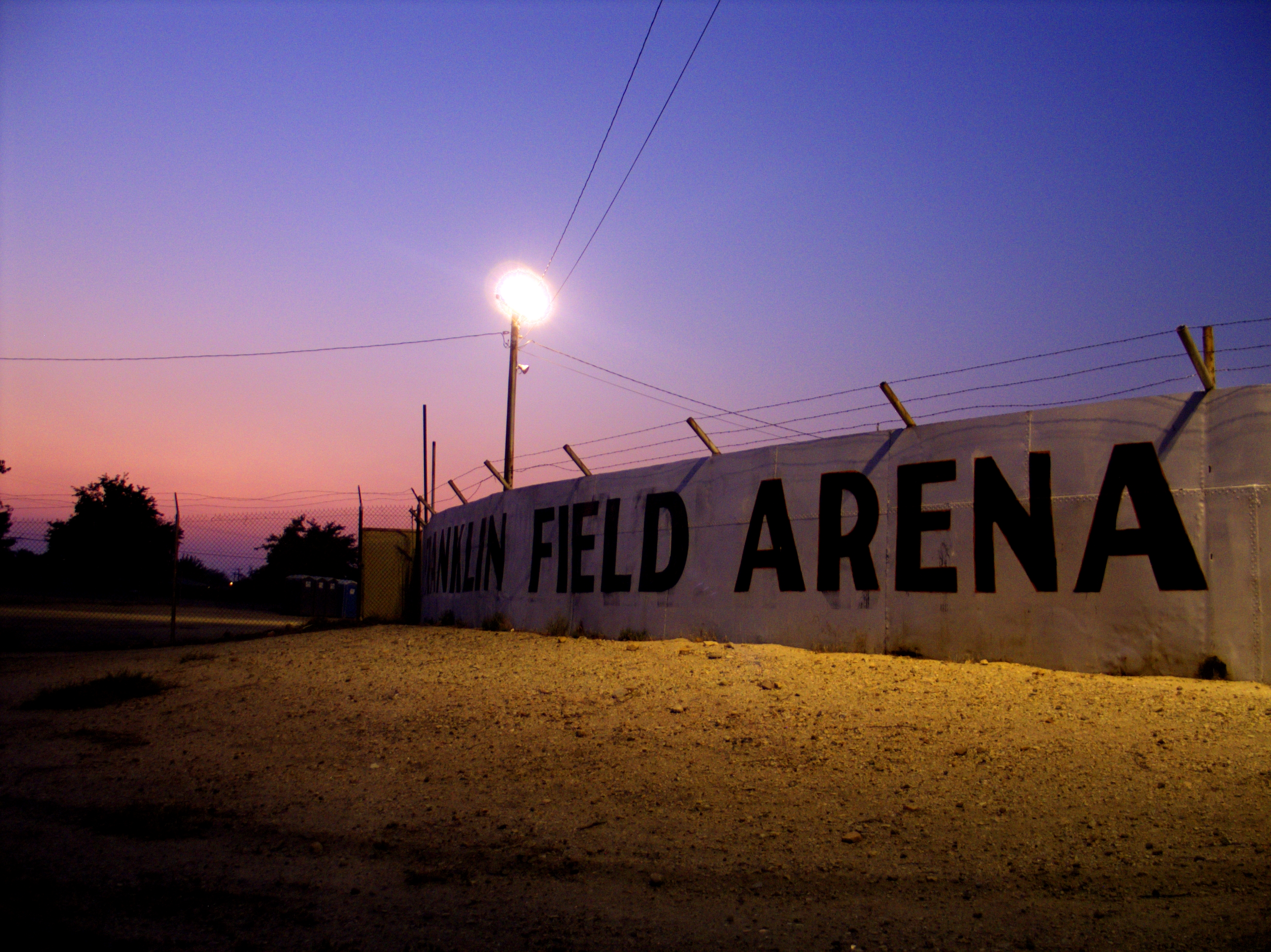
Related Photos:
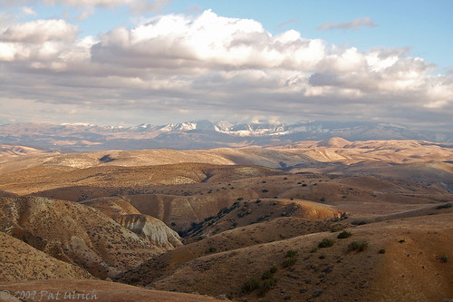
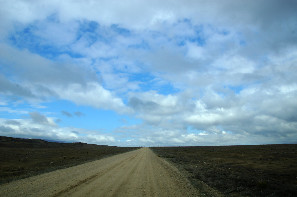
Crossing the Temblor Range
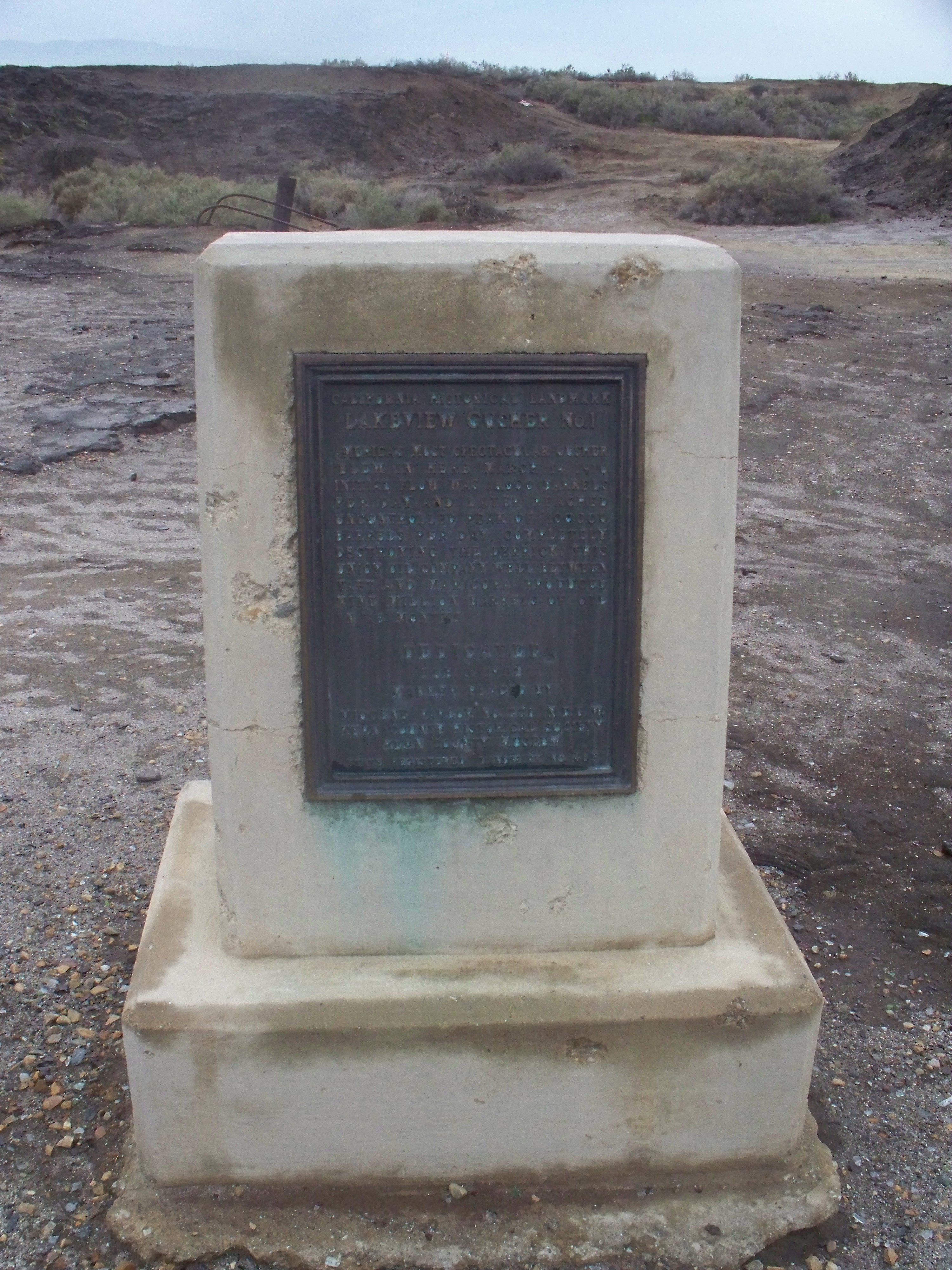
CHL# 485 Lake view Gusher Marker
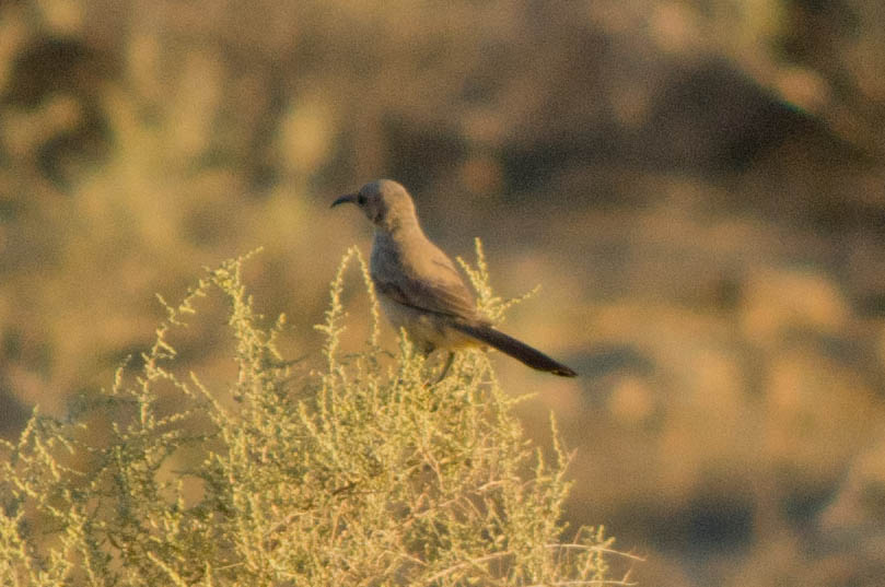
Le Conte's Thrasher
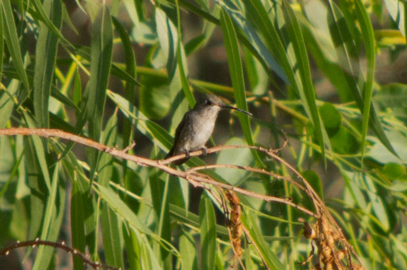
Black-chinned Hummingbird
I'll Be There When I Get There
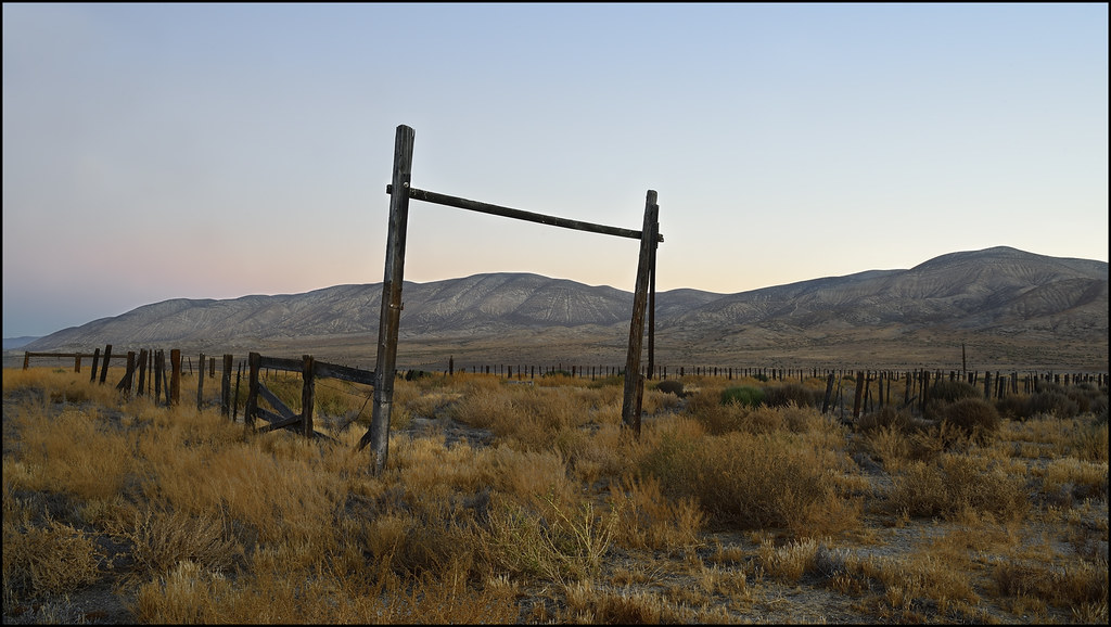
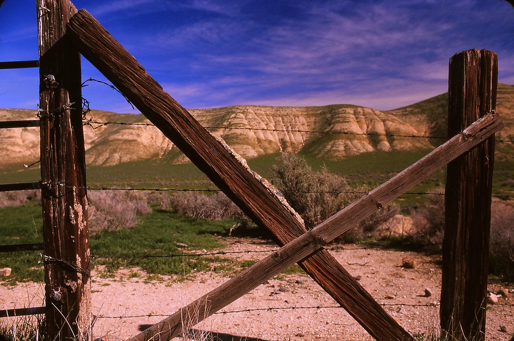
Home on the range...
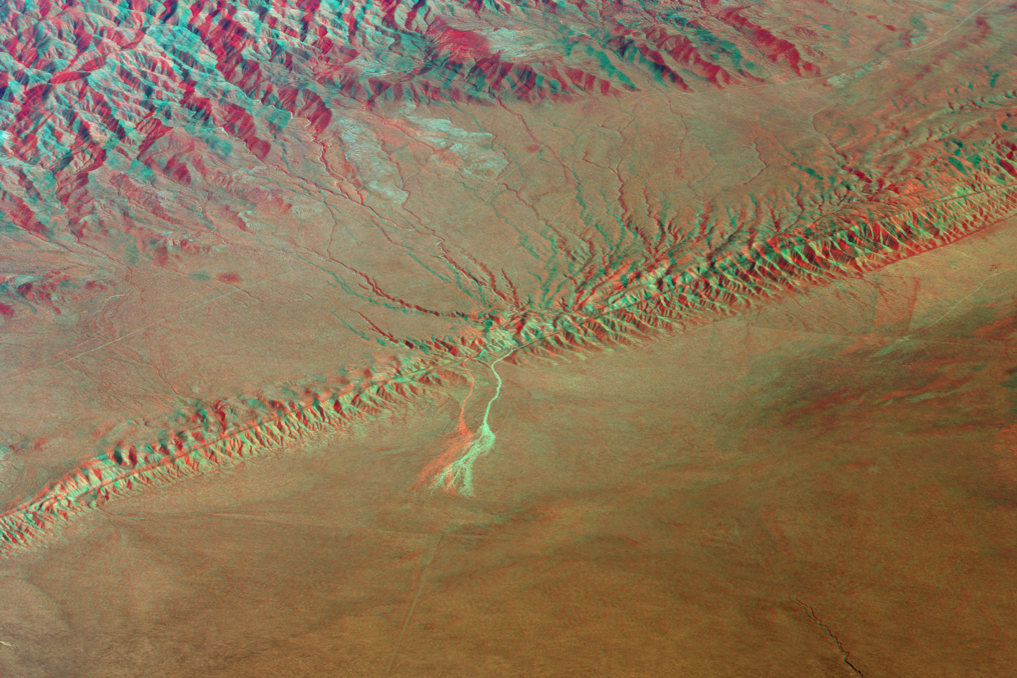
San Andreas Fault (3D red-cyan anaglyph)

Sunset above the Clouds
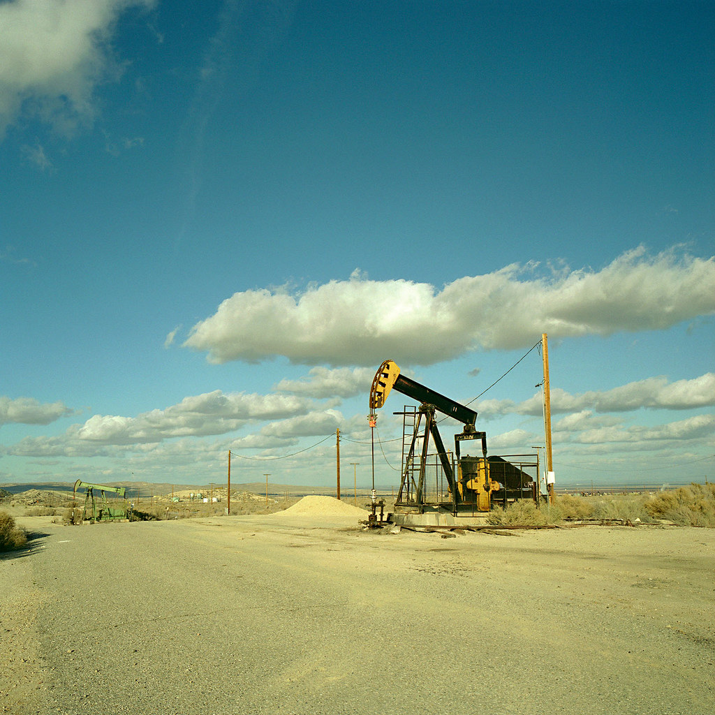
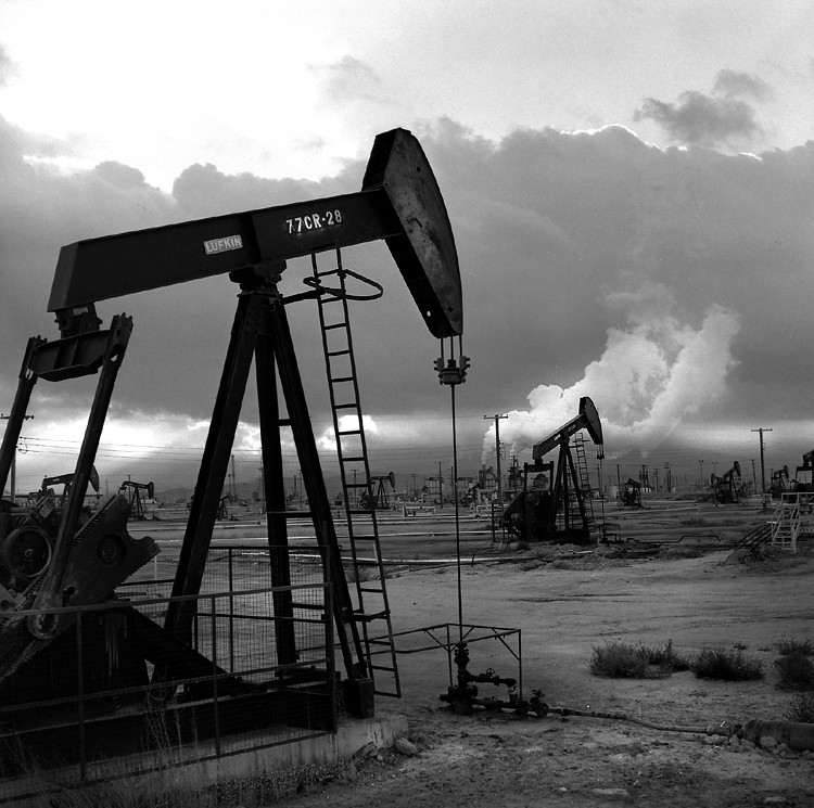
oil rig. maricopa, ca. 2008.
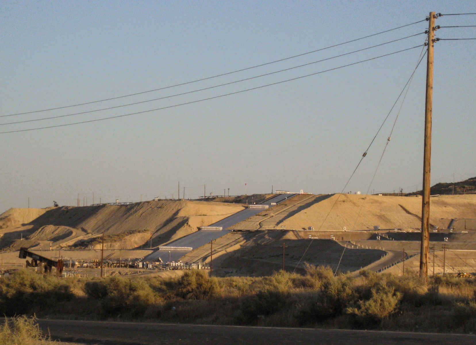
0057 - View of refinery thru oil pump in oil field near Taft, CA _July 2015
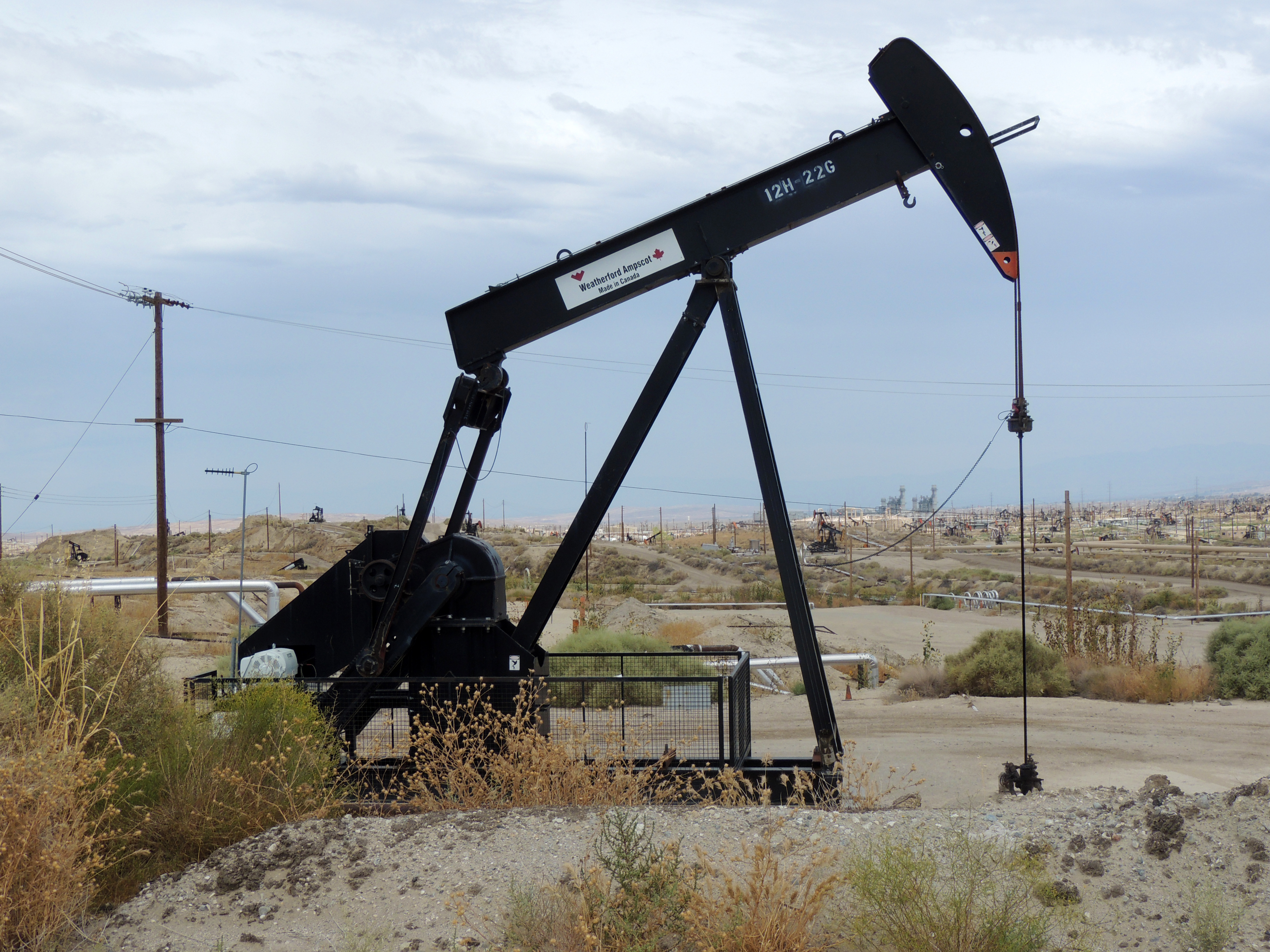
Kern Westside oil (3095)
Maricopa CA oil fields (1123)
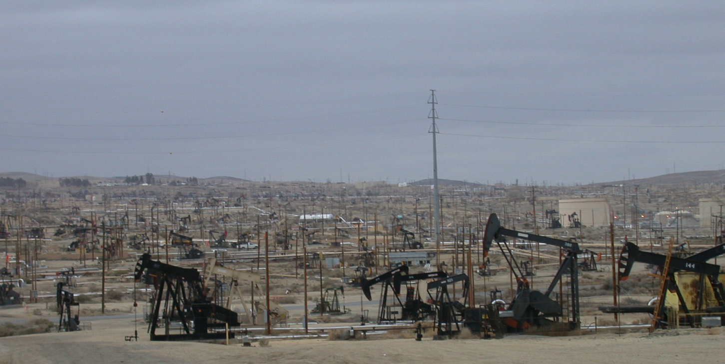
Kern County, Ca oil (2877)
Kern Westside oil (3096)
Maricopa CA oil fields (1122)
Kern County, CA oil (1513)
Shot of the Day 6.28.08
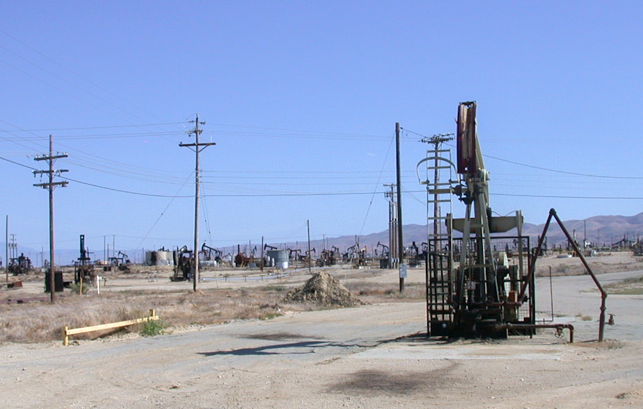
Kern County, CA oil (1118)
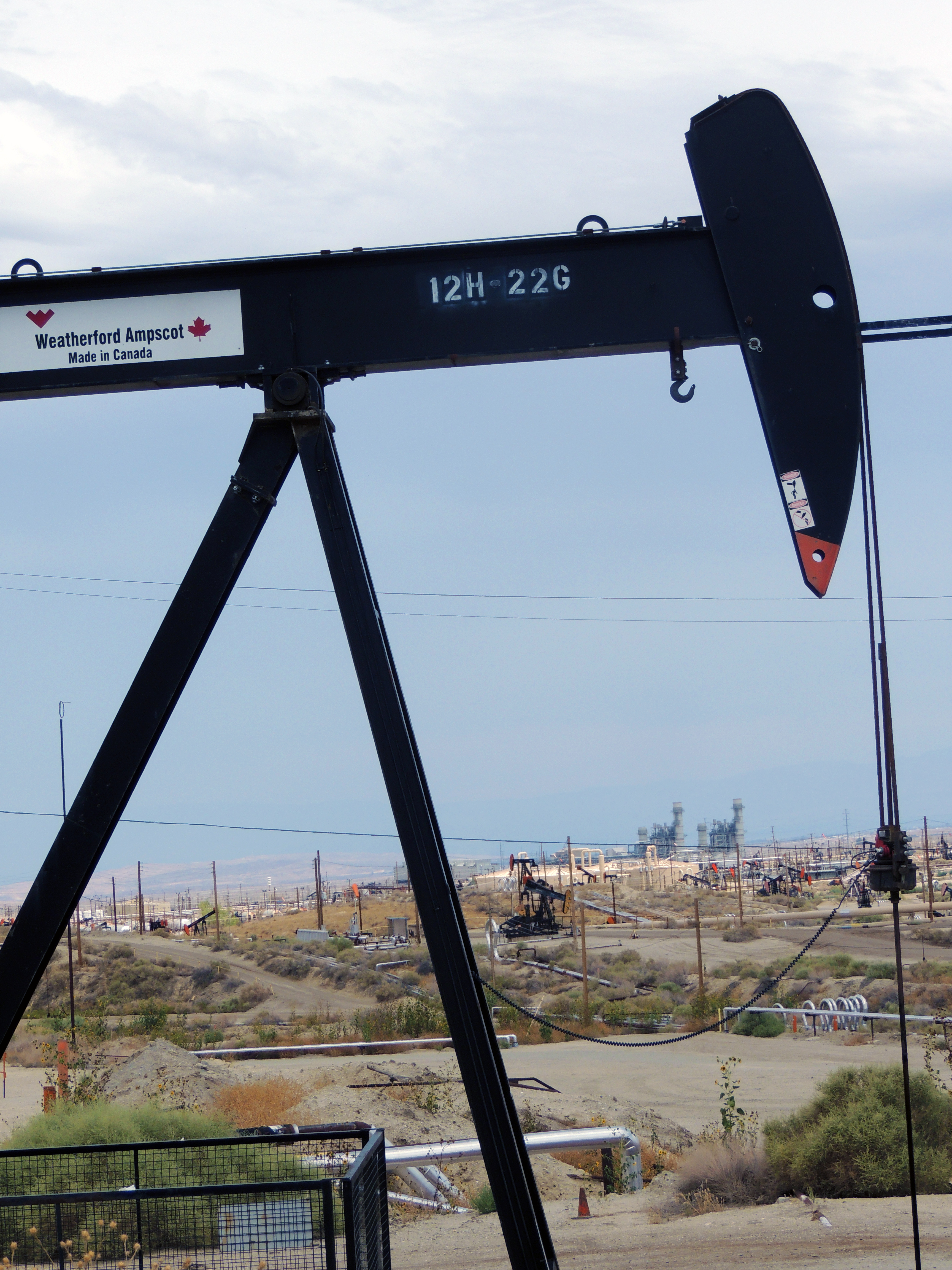
0058 - View of refinery thru oil pump in oil field near Taft, CA 2_July 2015
Taft CA 1120
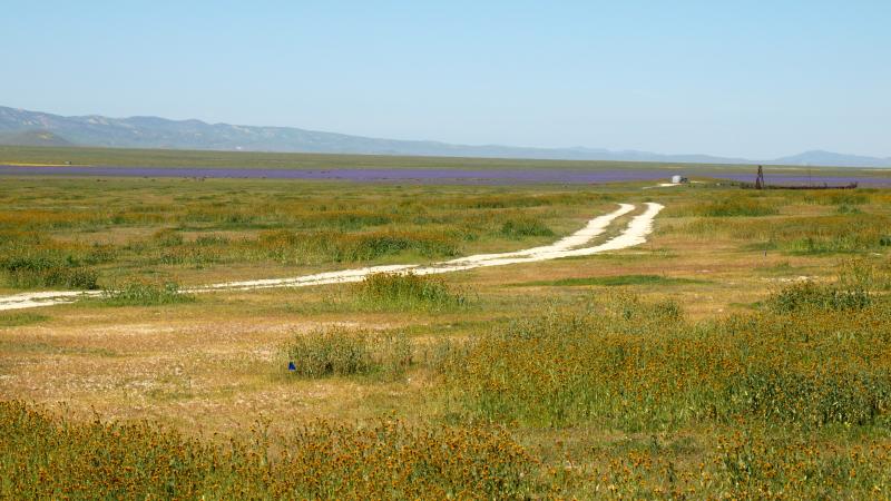
Carrizo Plain National Monument, A.F. Traver Ranch
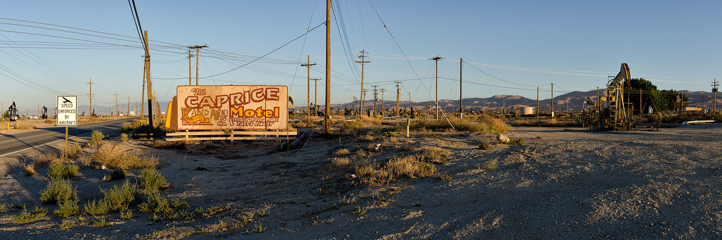
speed enforced. derby acres, ca. 2013.

Kern County, California
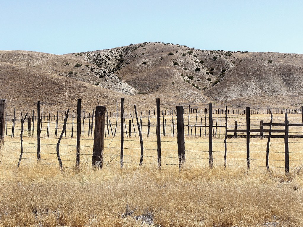
Western landscape, Kern County, California
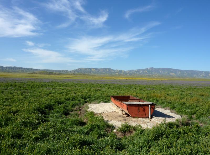
Carrizo Plain National Monument, A.F. Traver Ranch, Watering Trough
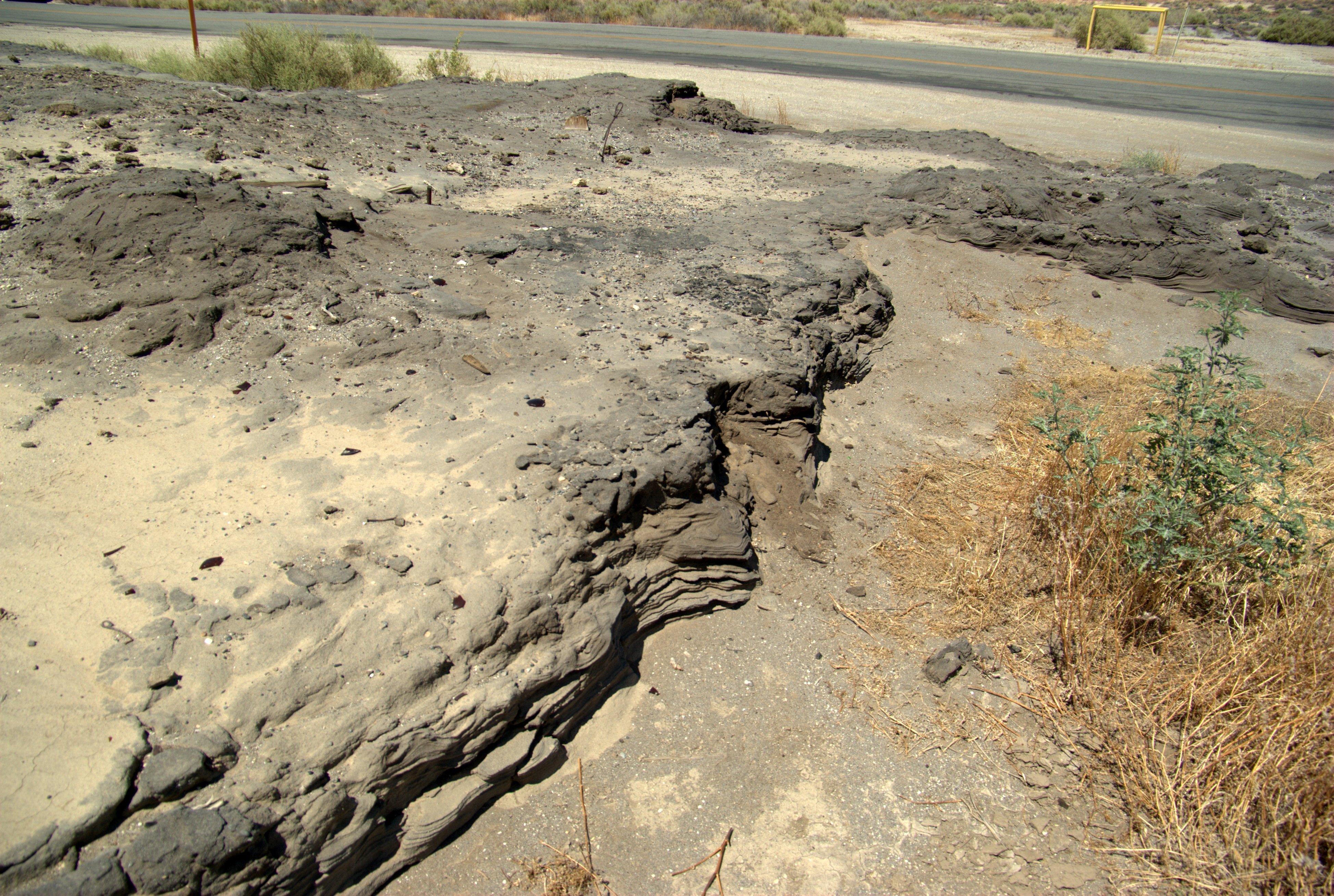
Lakeview Gusher site: Stratified oil

Cima on the Temblor Range
Klipstein Canyon
DSC_5477.JPG

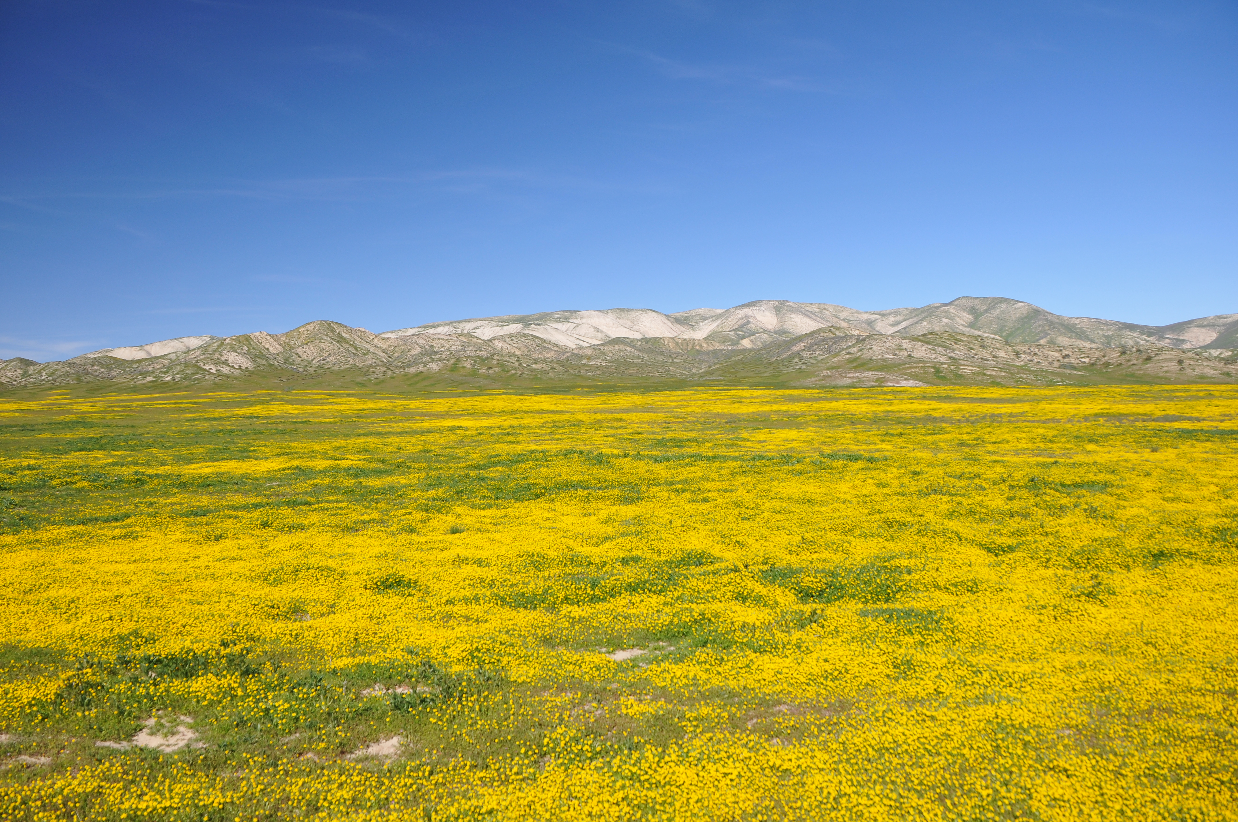
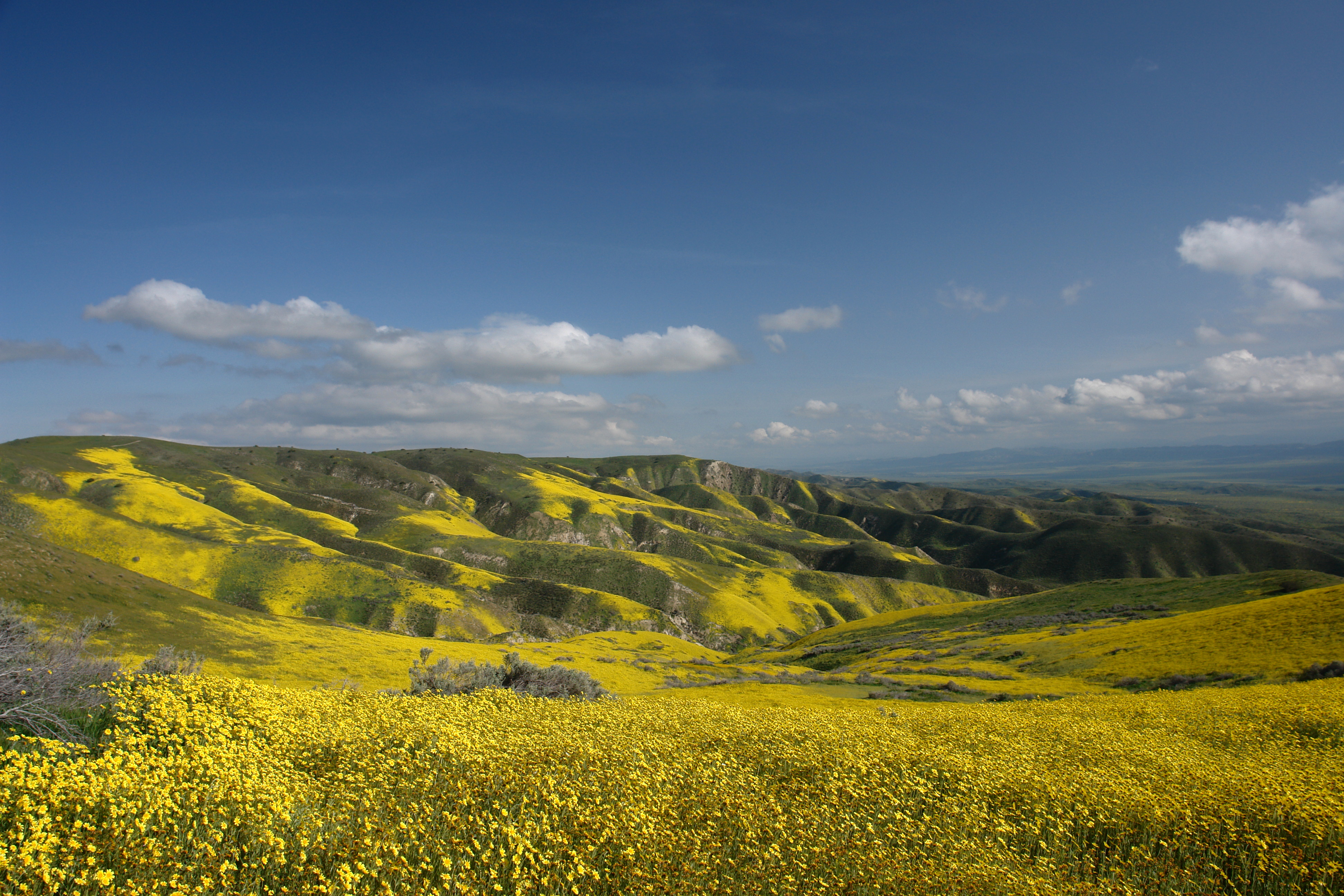
Carrizo Plain National Monument
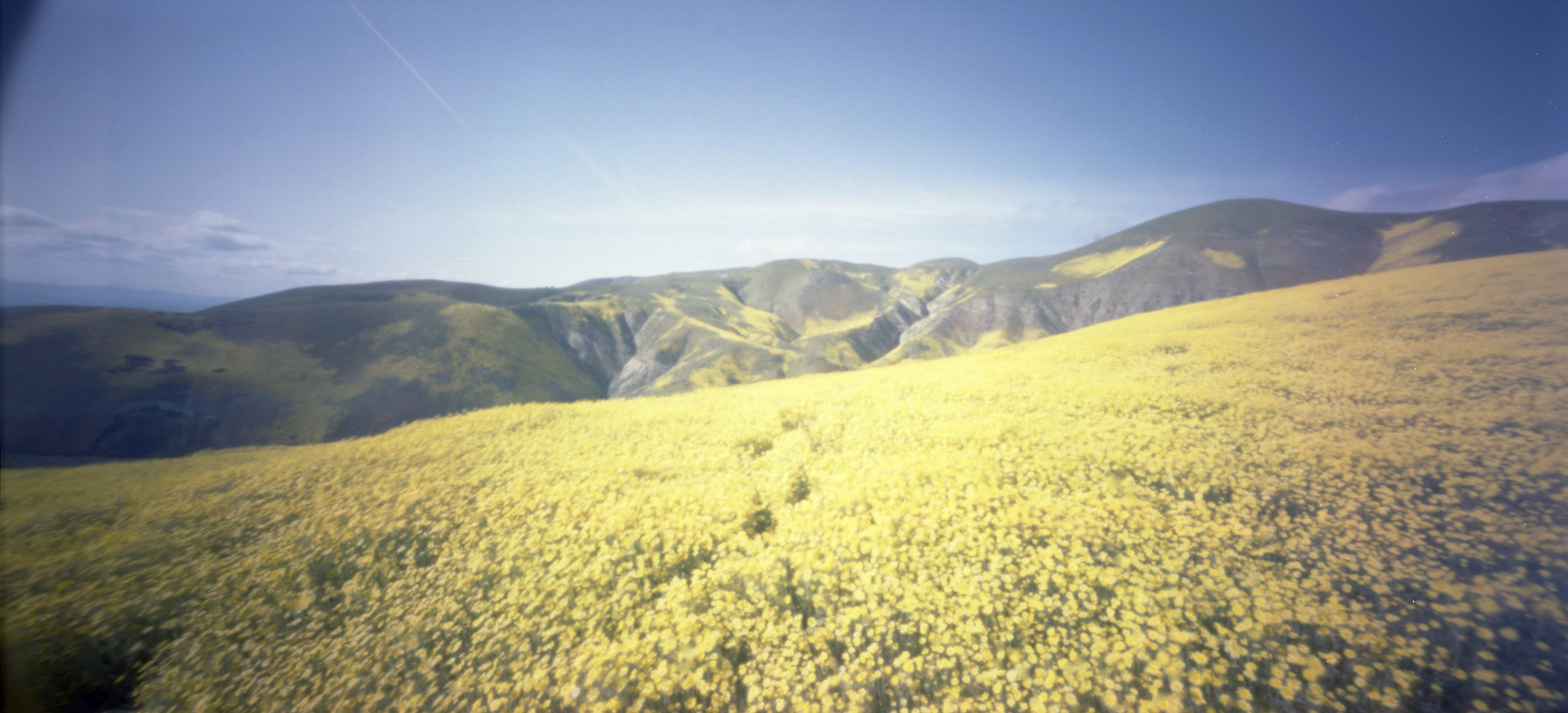
Carrizo Plain
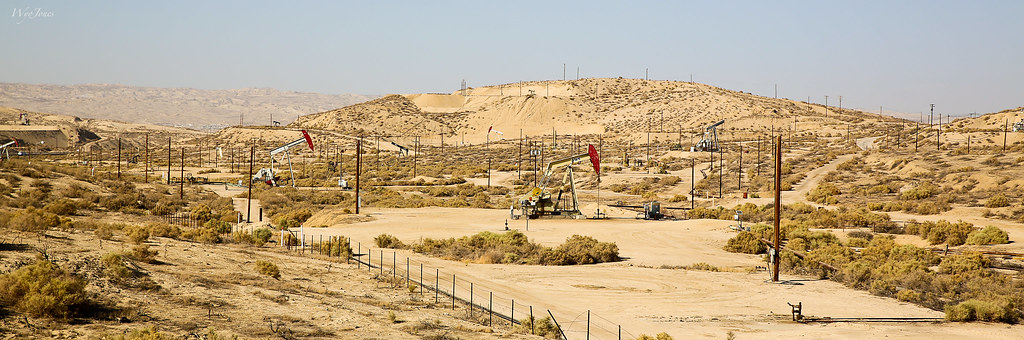
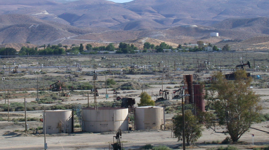
Sunset-Midway Field
Down Colorful Hill
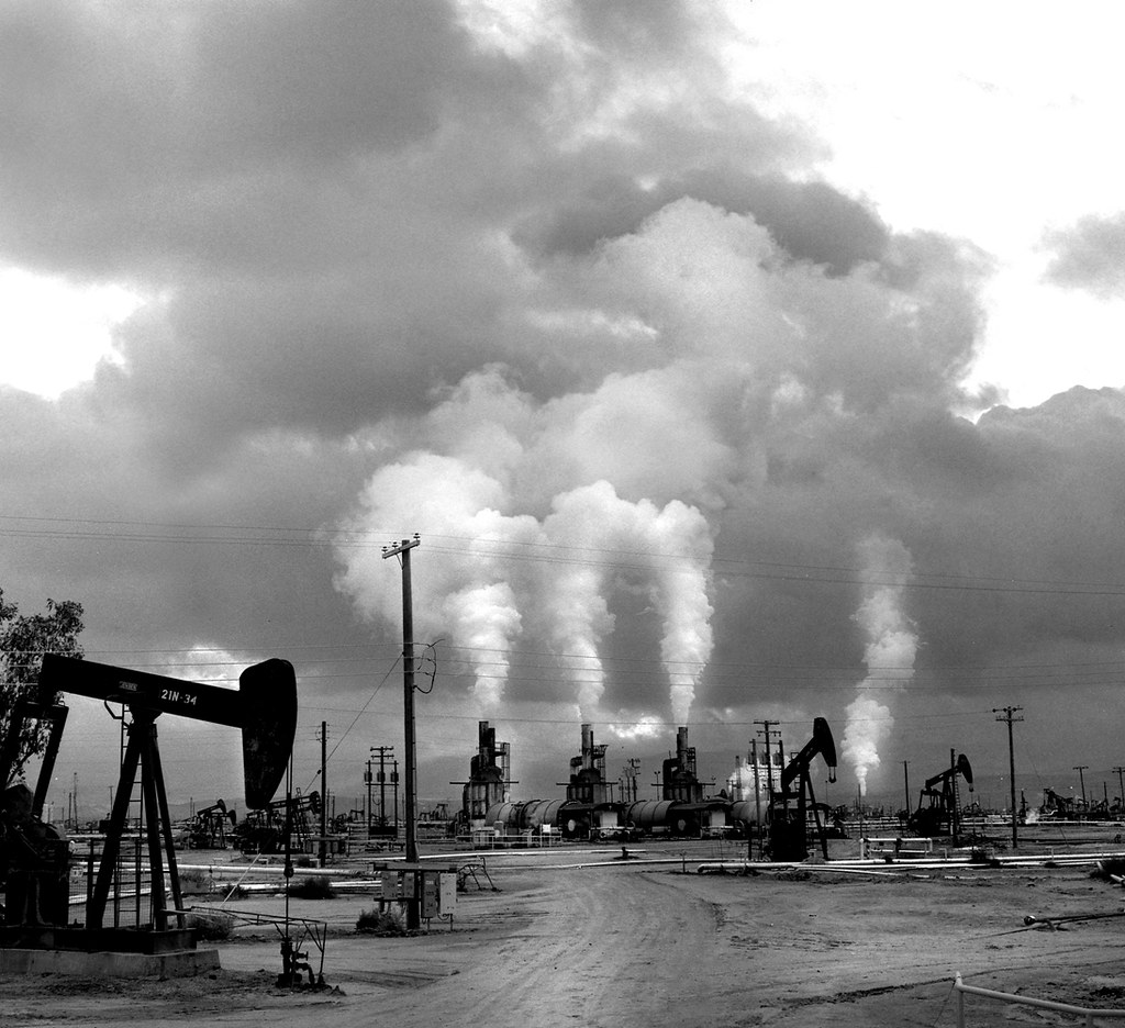
Petroleum Landscape, California
Oil Landscape, Kern County, California
2006-03-D-006176
Black Locust

alkalisink goldfields
Topographic Map of Philippine St, Taft, CA, USA
Find elevation by address:

Places near Philippine St, Taft, CA, USA:
405 Alpine St
100 Sage St
900 Arroyo Way
Taft
Lucard St, Taft, CA, USA
Cedar St, Taft, CA, USA
Midoil Rd, Fellows, CA, USA
Maricopa
Western Minerals Rd, Maricopa, CA, USA
Copus Rd, Bakersfield, CA, USA
South Kern Industrial Center
El Roblar St, Maricopa, CA, USA
3700 Ca-33
Brush Mountain
San Emigdio Mountain
Eagle Rest Peak
2105 Pinewood Ct
Pine Mountain Club Real Estate
2616 Teakwood Ct
2616 Teakwood Ct
Recent Searches:
- Elevation of Leyte Industrial Development Estate, Isabel, Leyte, Philippines
- Elevation of W Granada St, Tampa, FL, USA
- Elevation of Pykes Down, Ivybridge PL21 0BY, UK
- Elevation of Jalan Senandin, Lutong, Miri, Sarawak, Malaysia
- Elevation of Bilohirs'k
- Elevation of 30 Oak Lawn Dr, Barkhamsted, CT, USA
- Elevation of Luther Road, Luther Rd, Auburn, CA, USA
- Elevation of Unnamed Road, Respublika Severnaya Osetiya — Alaniya, Russia
- Elevation of Verkhny Fiagdon, North Ossetia–Alania Republic, Russia
- Elevation of F. Viola Hiway, San Rafael, Bulacan, Philippines