Elevation of San Emigdio Mountain, California, USA
Location: United States > California > Maricopa >
Longitude: -119.1789984
Latitude: 34.8733089
Elevation: 2218m / 7277feet
Barometric Pressure: 0KPa
Related Photos:

Wild Flowers
View from the summit of Mt Pinos
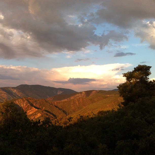
The view from our campsite
Mt. Pinos - X-Country Skiing - 3/23/08 - DSCF0590.JPG
Mt. Pinos - X-Country Skiing - 3/23/08 - DSCF0587.JPG

Road less travelled

The good shepherd
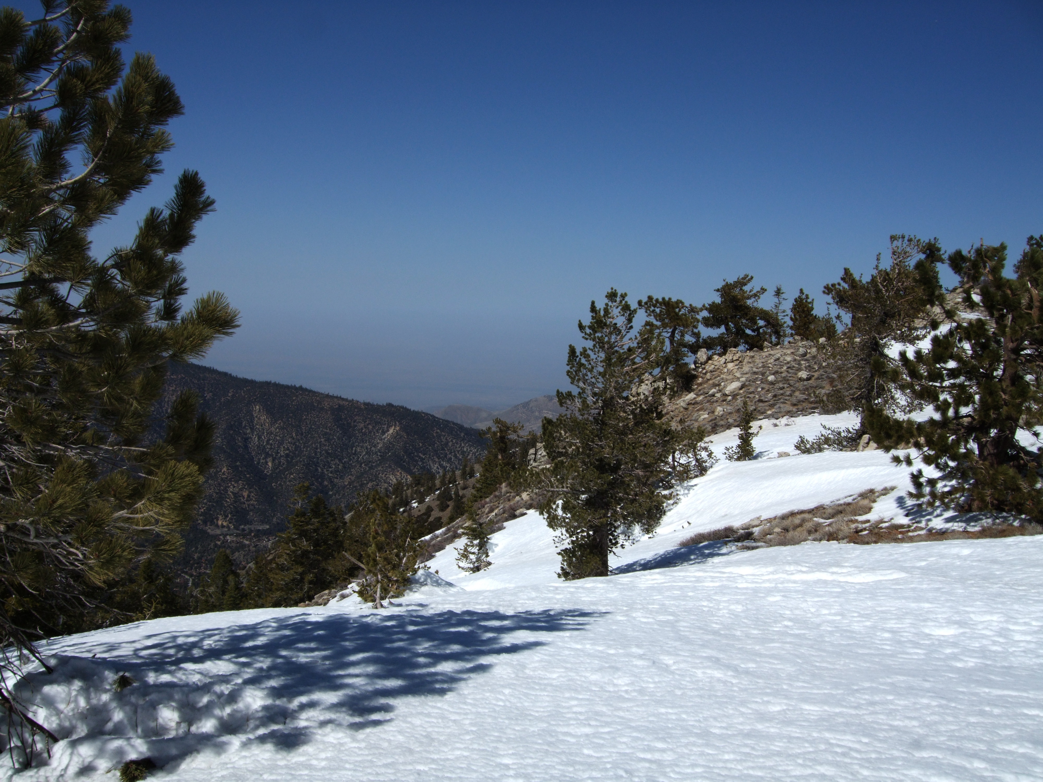
View from Mount Pinos 1

Wind Wolves Preserve
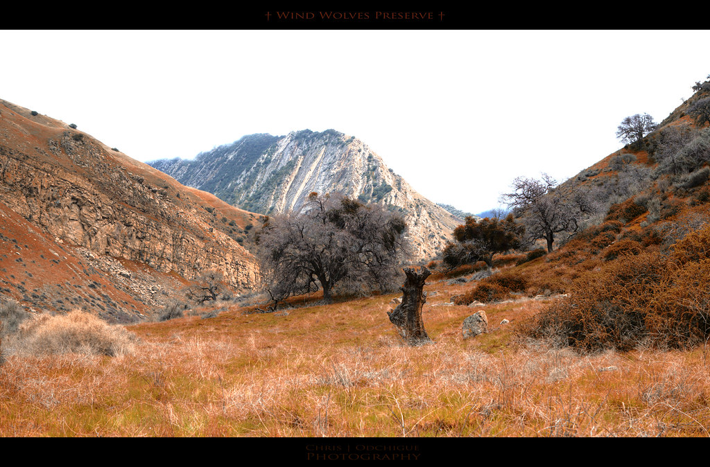
Wind Wolves Preserve
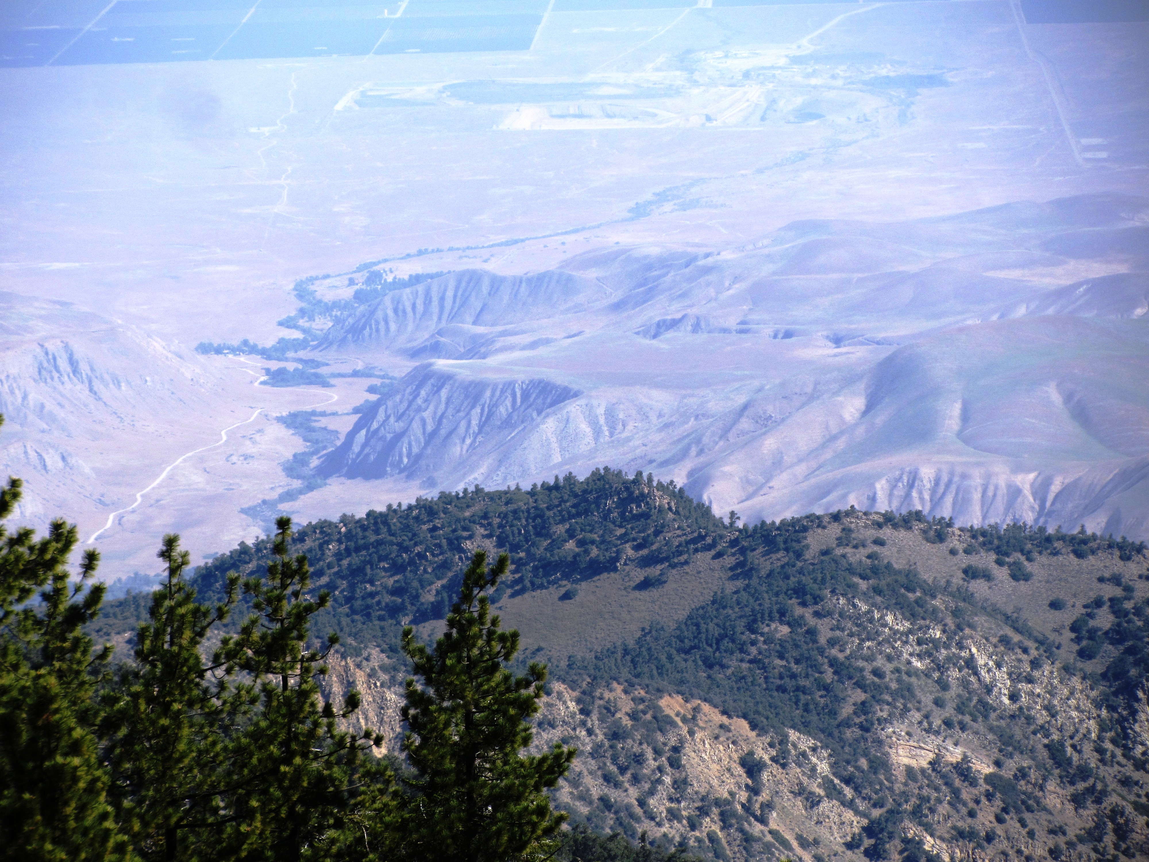
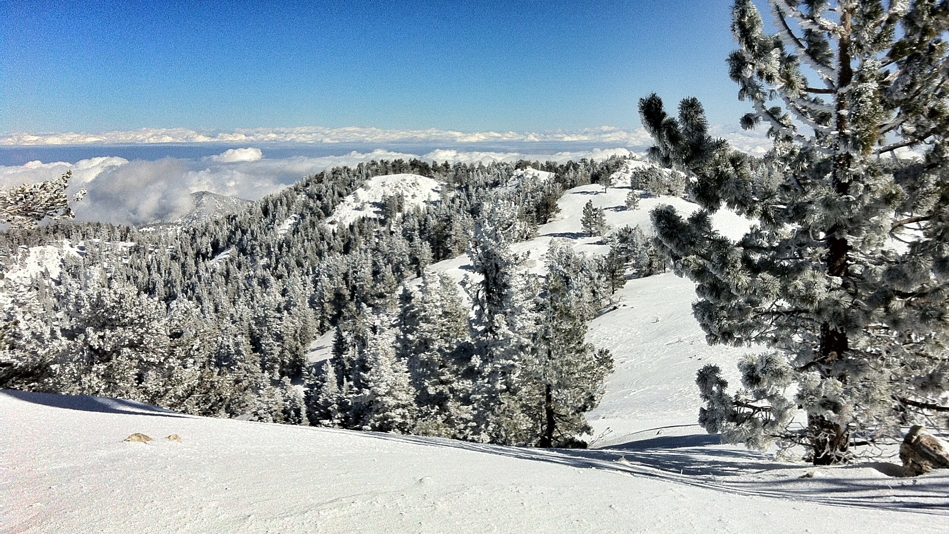
Looking down from atop the San Emidio Range
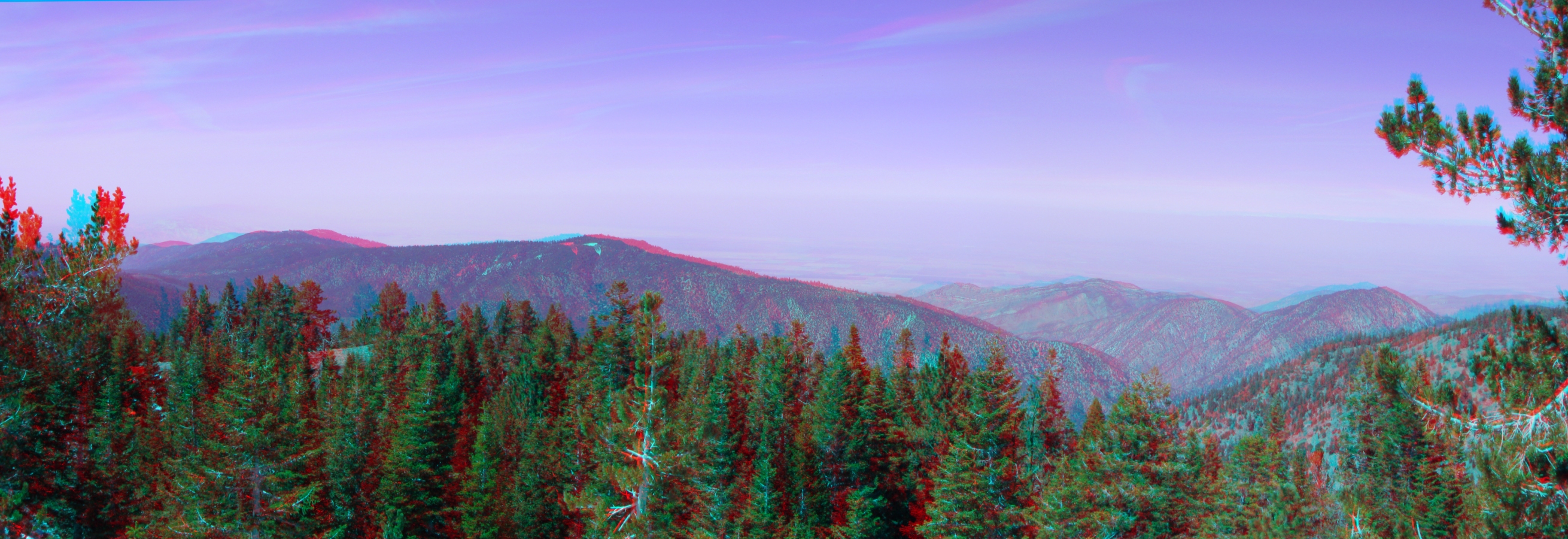
View North from the Summit Pan 3d
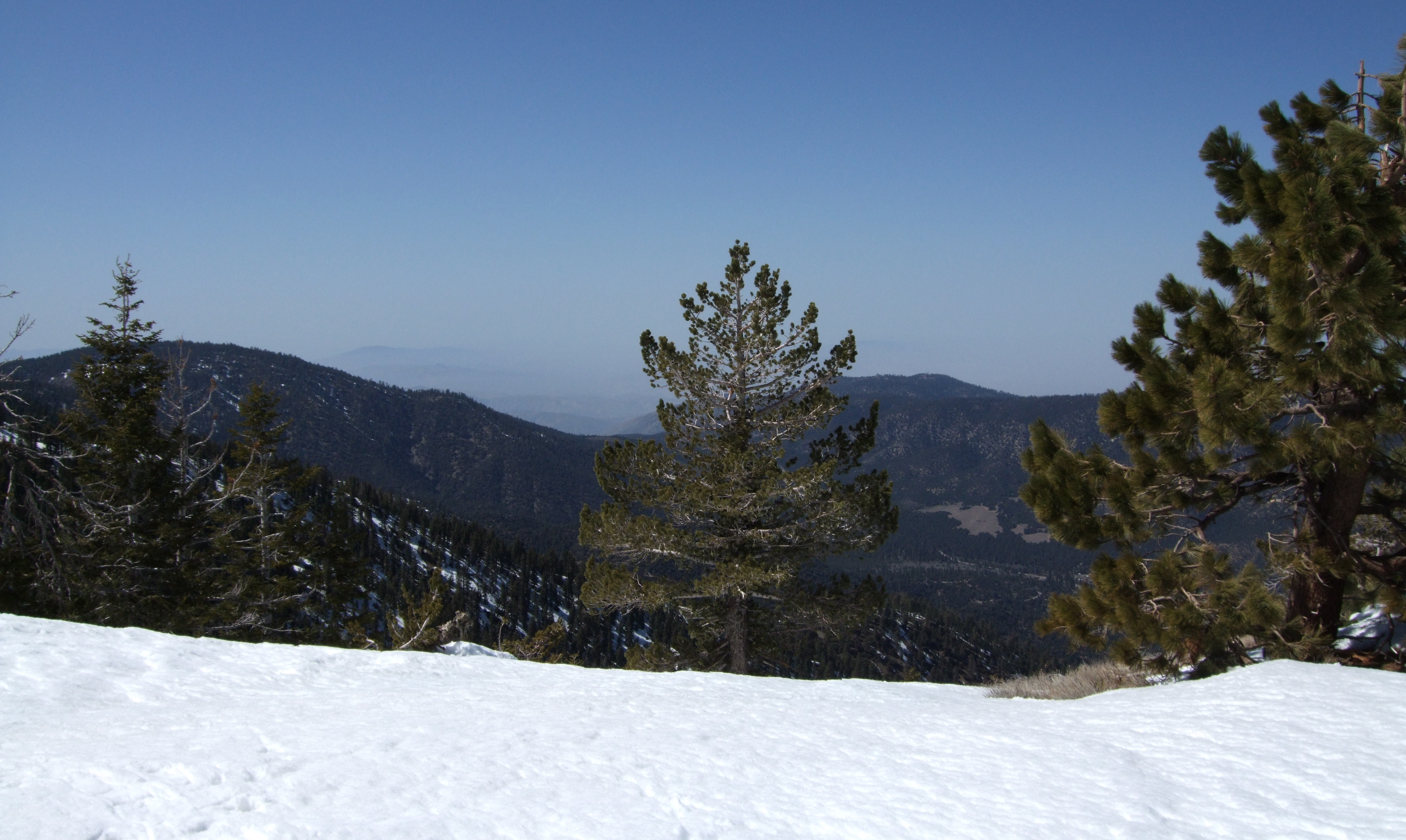
Forest Views
Looking SSE from Cerro Noroests Rd.(2) - hdr hyper cross view 3d
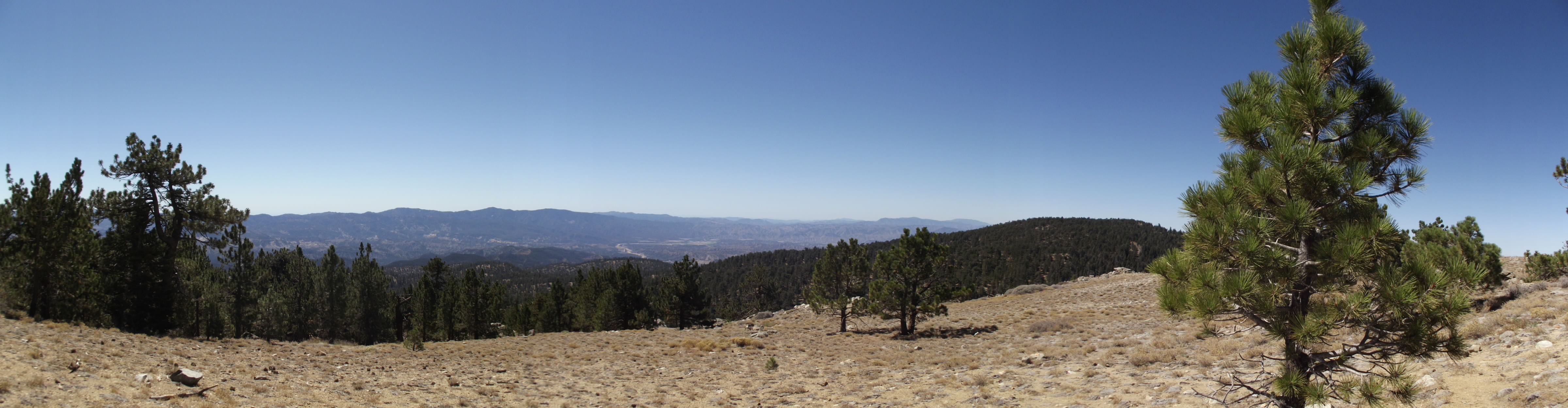
Mt. Pinos (Panoramic)
Topographic Map of San Emigdio Mountain, California, USA
Find elevation by address:

Places near San Emigdio Mountain, California, USA:
2616 Teakwood Ct
2616 Teakwood Ct
Pine Mountain Club Real Estate
2524 Brentwood Pl
Peak To Peak Realty, Pine Mountain Club Ca
16240 Askin Dr
2105 Pinewood Ct
16009 Zurich Way
2222 Bernina Dr
15524 San Moritz Dr
Pine Mountain Club
1821 Bernina Dr
15432 Shasta Way
1809 Freeman Dr
15421 Shasta Way
1709 Lassen Way
1513 Banff Dr
1913 Navajo Ct
1421 Banff Dr
1505 Bernina Dr
Recent Searches:
- Elevation map of Greenland, Greenland
- Elevation of Sullivan Hill, New York, New York, 10002, USA
- Elevation of Morehead Road, Withrow Downs, Charlotte, Mecklenburg County, North Carolina, 28262, USA
- Elevation of 2800, Morehead Road, Withrow Downs, Charlotte, Mecklenburg County, North Carolina, 28262, USA
- Elevation of Yangbi Yi Autonomous County, Yunnan, China
- Elevation of Pingpo, Yangbi Yi Autonomous County, Yunnan, China
- Elevation of Mount Malong, Pingpo, Yangbi Yi Autonomous County, Yunnan, China
- Elevation map of Yongping County, Yunnan, China
- Elevation of North 8th Street, Palatka, Putnam County, Florida, 32177, USA
- Elevation of 107, Big Apple Road, East Palatka, Putnam County, Florida, 32131, USA
- Elevation of Jiezi, Chongzhou City, Sichuan, China
- Elevation of Chongzhou City, Sichuan, China
- Elevation of Huaiyuan, Chongzhou City, Sichuan, China
- Elevation of Qingxia, Chengdu, Sichuan, China
- Elevation of Corso Fratelli Cairoli, 35, Macerata MC, Italy
- Elevation of Tallevast Rd, Sarasota, FL, USA
- Elevation of 4th St E, Sonoma, CA, USA
- Elevation of Black Hollow Rd, Pennsdale, PA, USA
- Elevation of Oakland Ave, Williamsport, PA, USA
- Elevation of Pedrógão Grande, Portugal