Elevation of Banff Dr, Pine Mountain Club, CA, USA
Location: United States > California > Kern County > Pine Mountain Club >
Longitude: -119.16552
Latitude: 34.836486
Elevation: 1833m / 6014feet
Barometric Pressure: 81KPa
Elevation Map:
Satellite Map:
Related Photos:
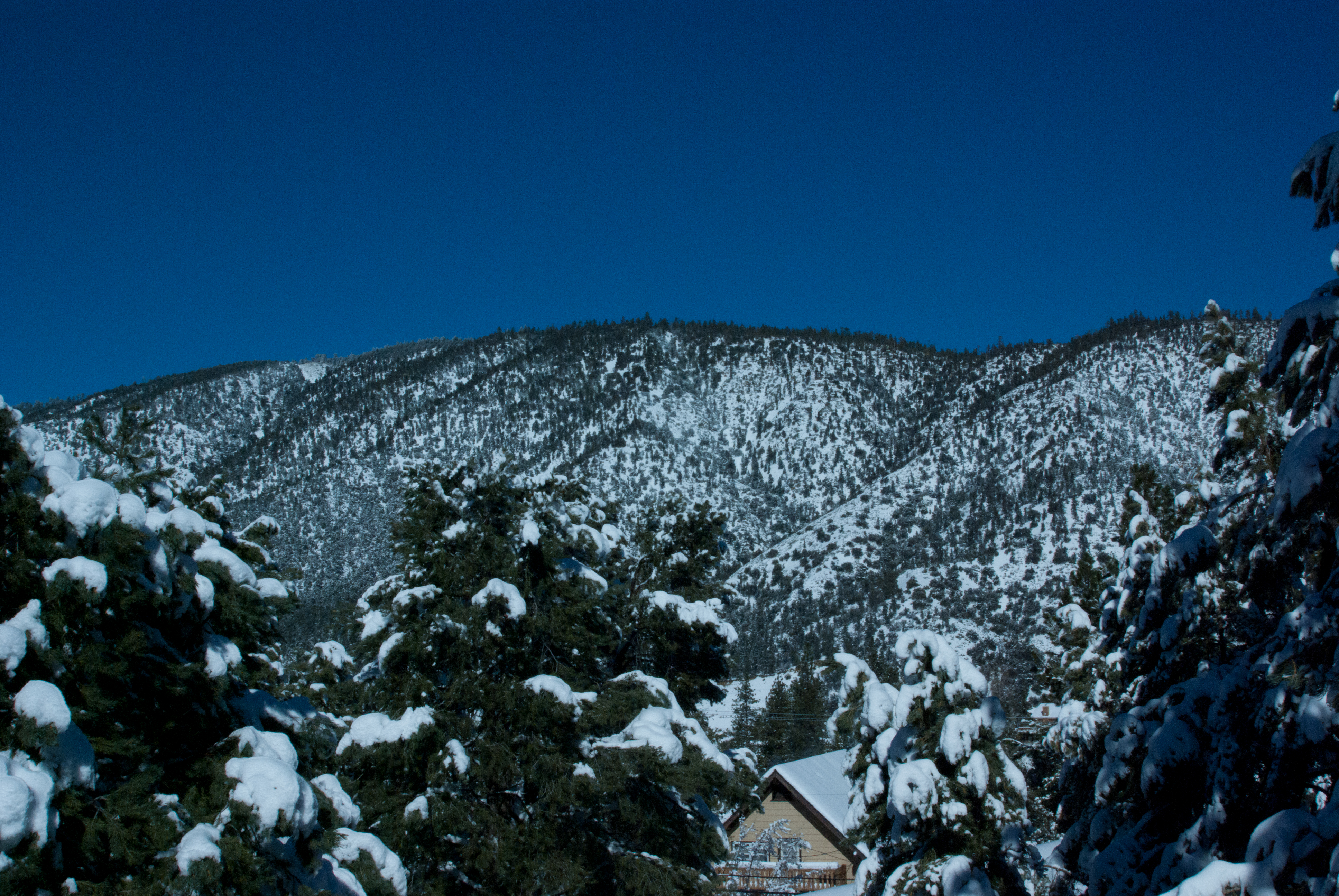
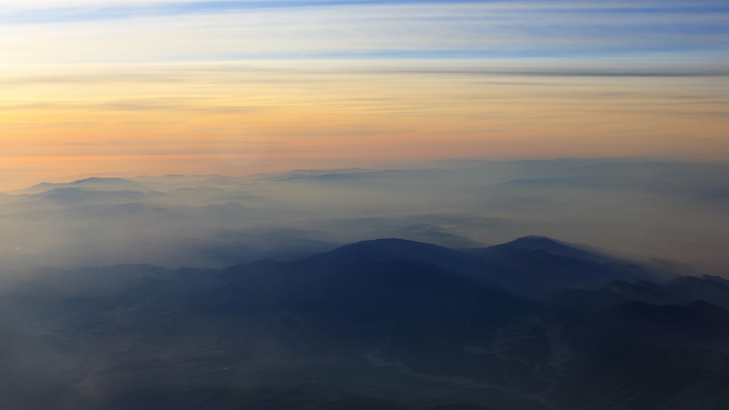
View from the deck
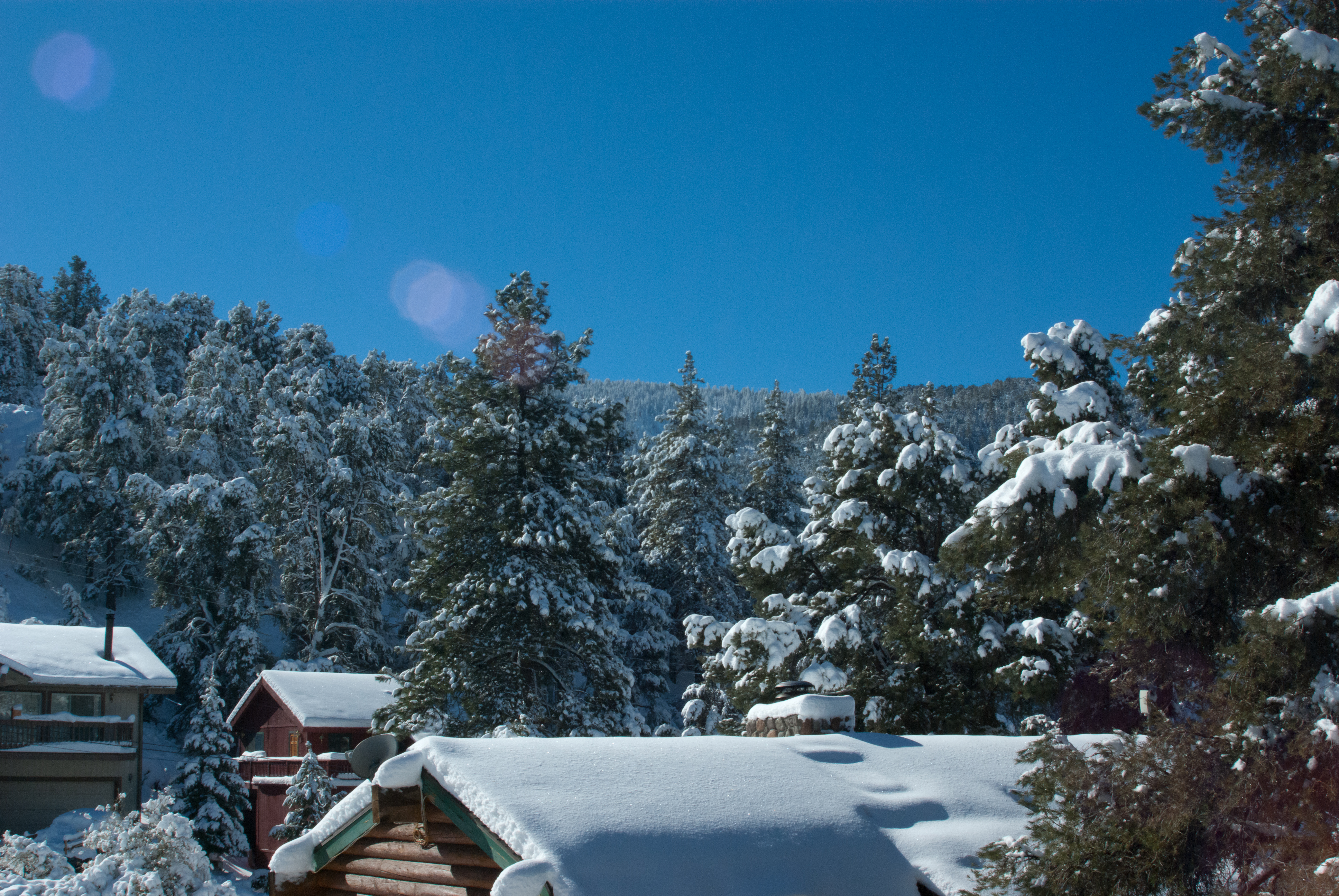
Southwest view
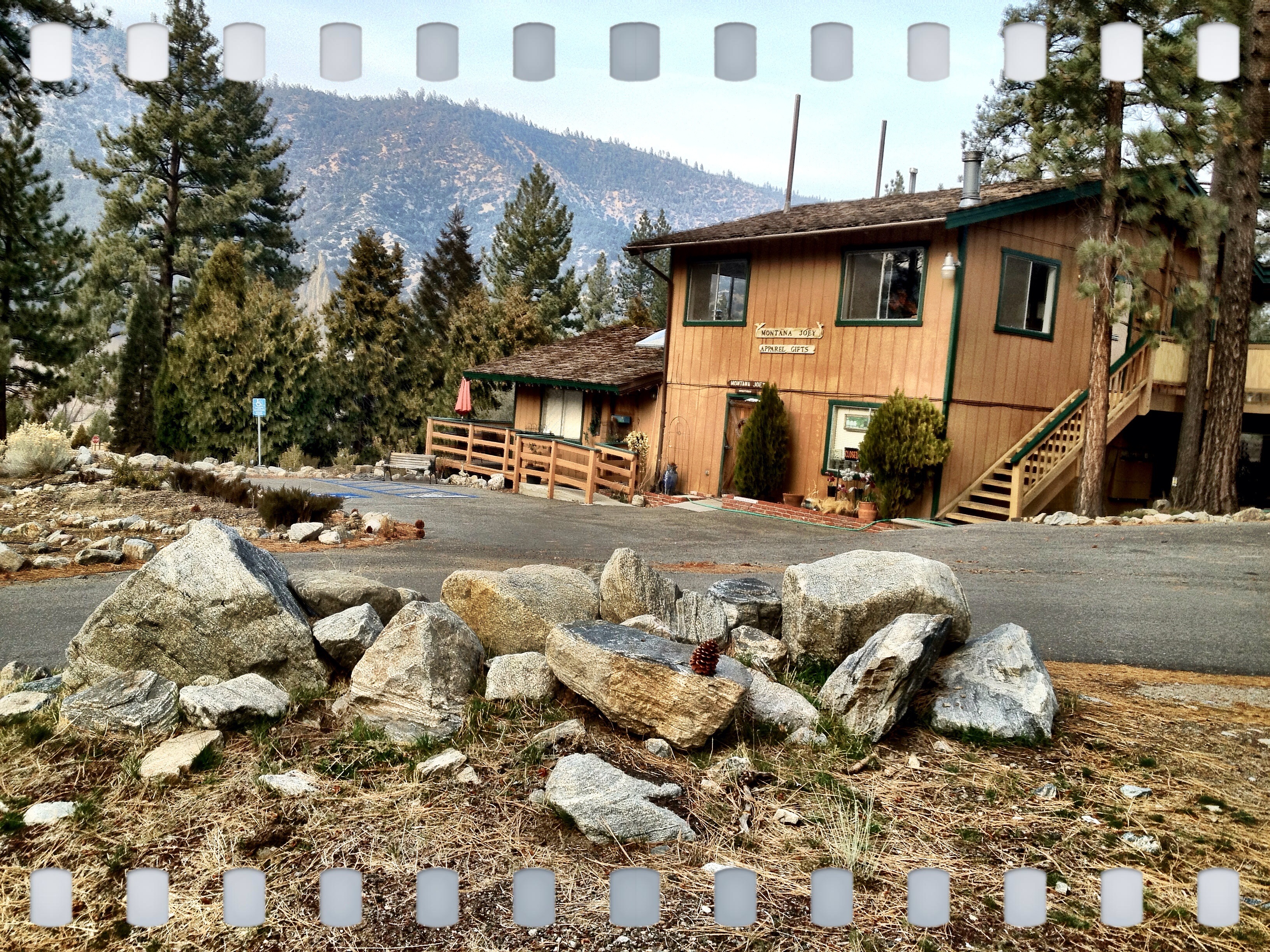
Place with a view
Isla Vista, California
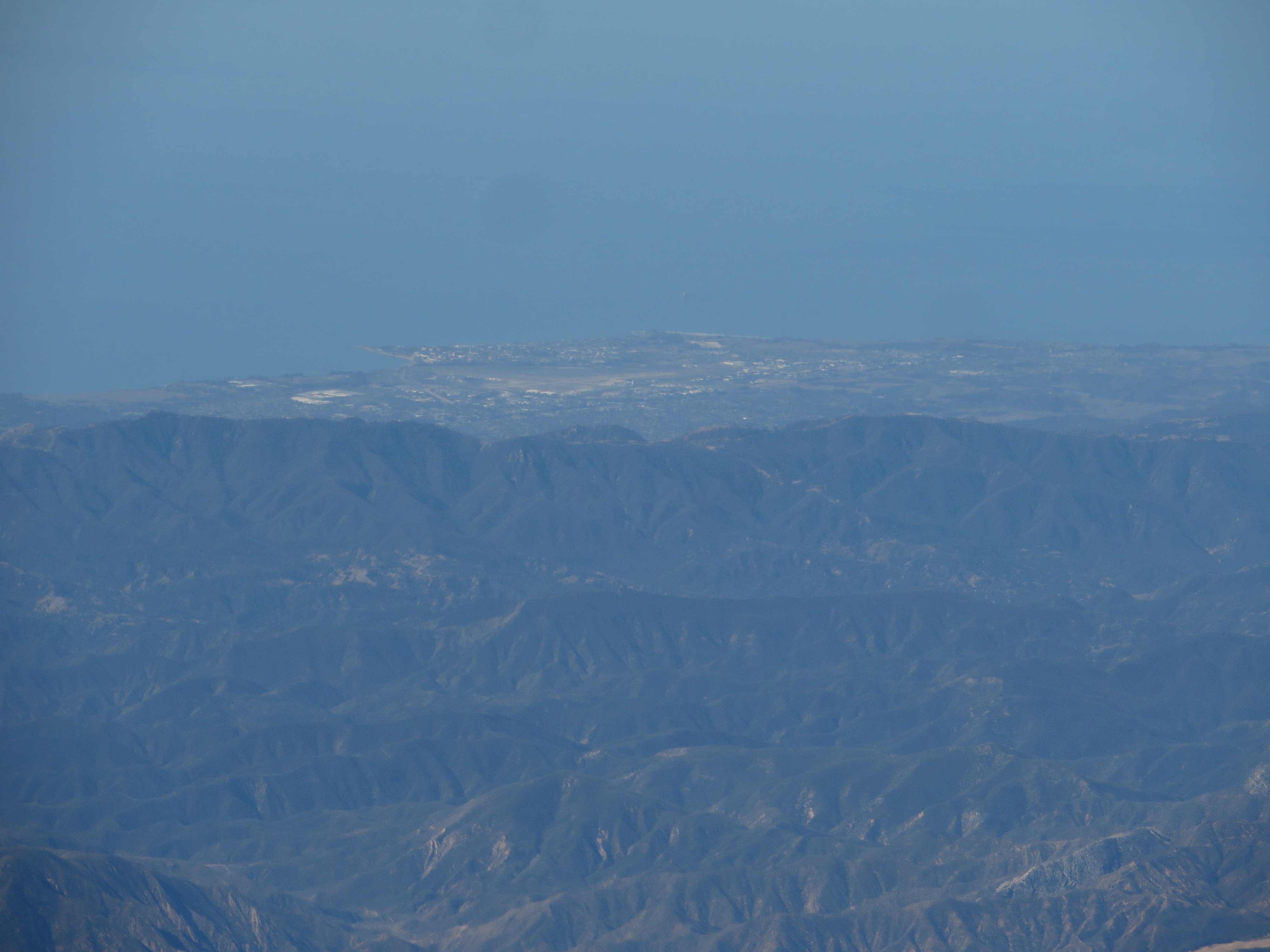
Isla Vista, California
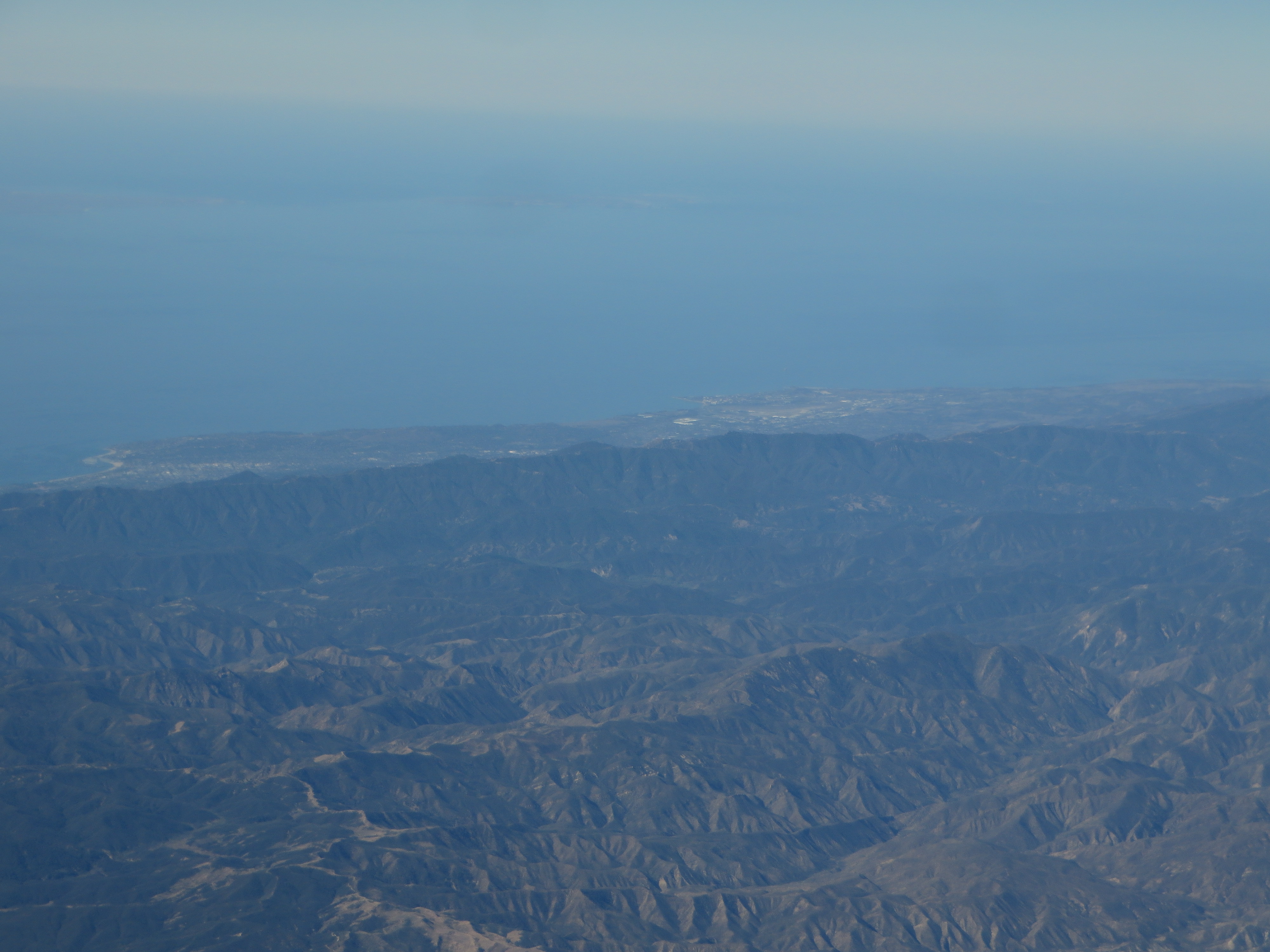
Santa Barbara, California
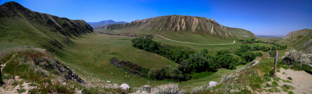
Wind Wolves Preserve

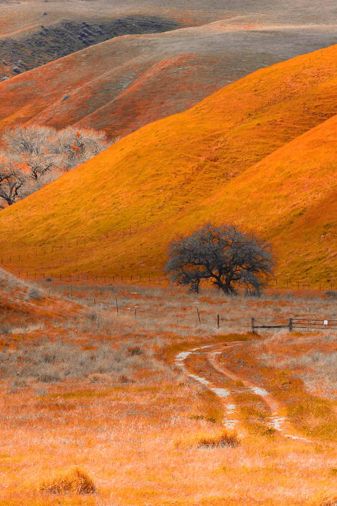
Infrared pine
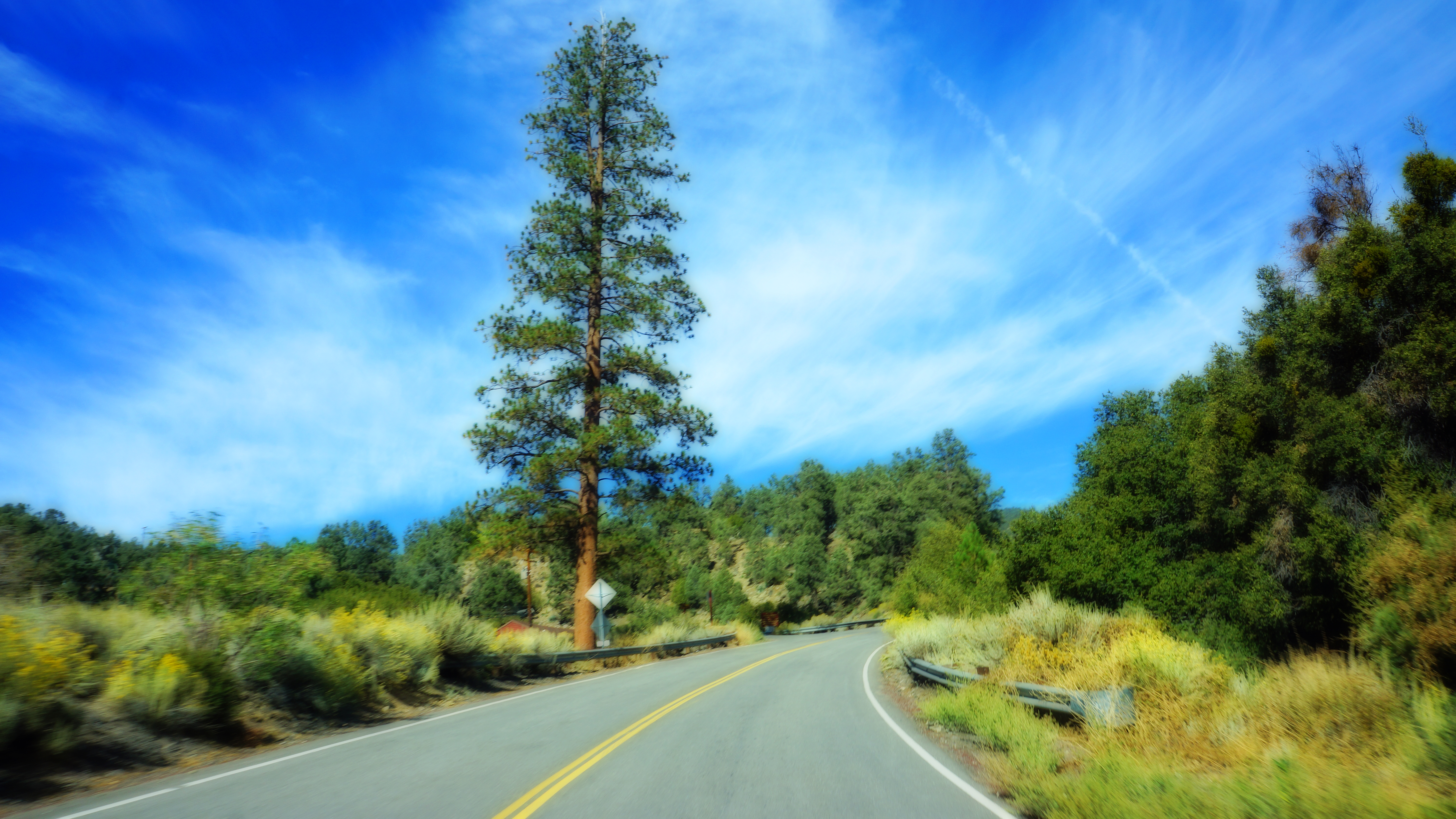
Road less travelled
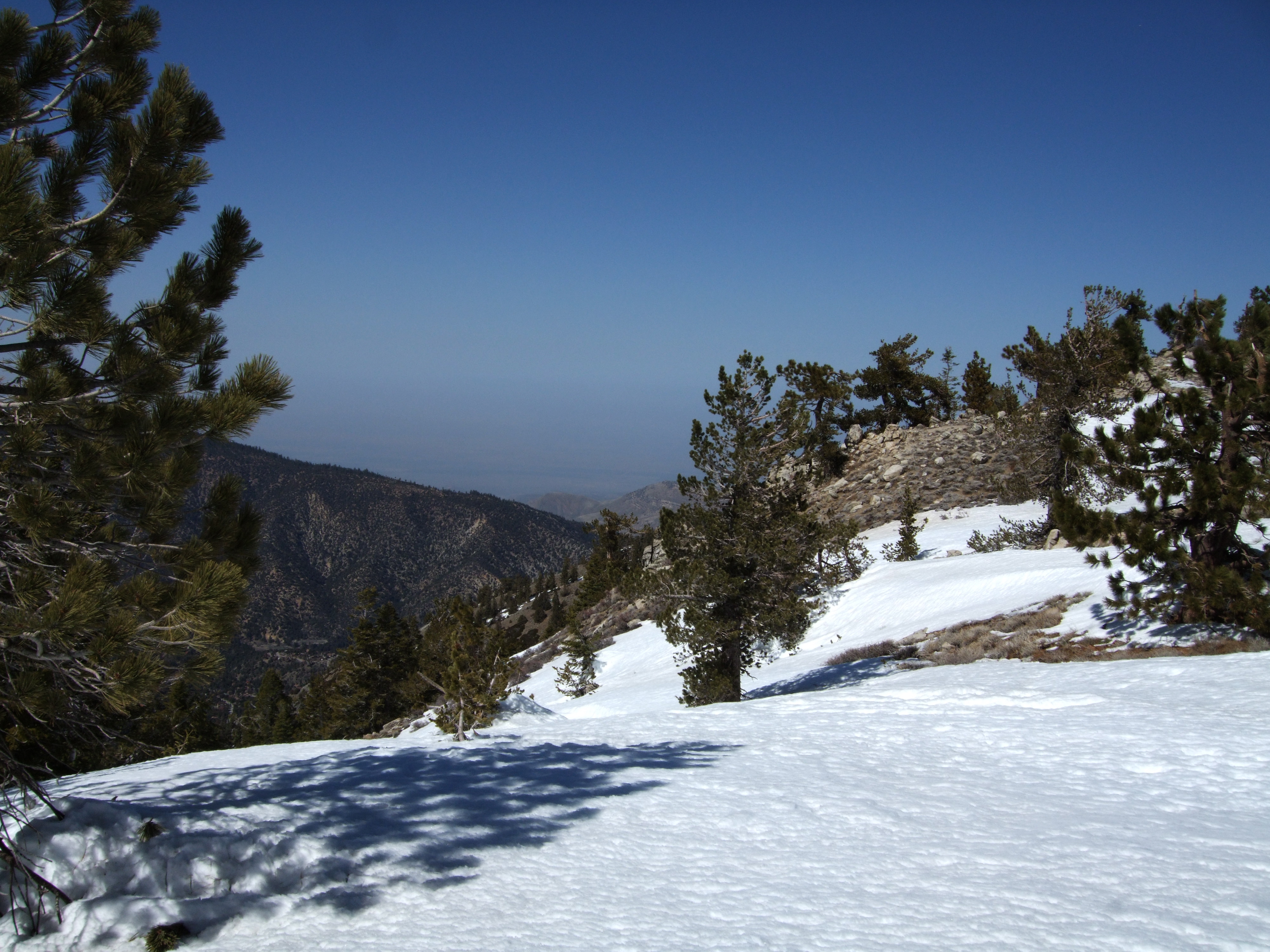
Mount Pinos
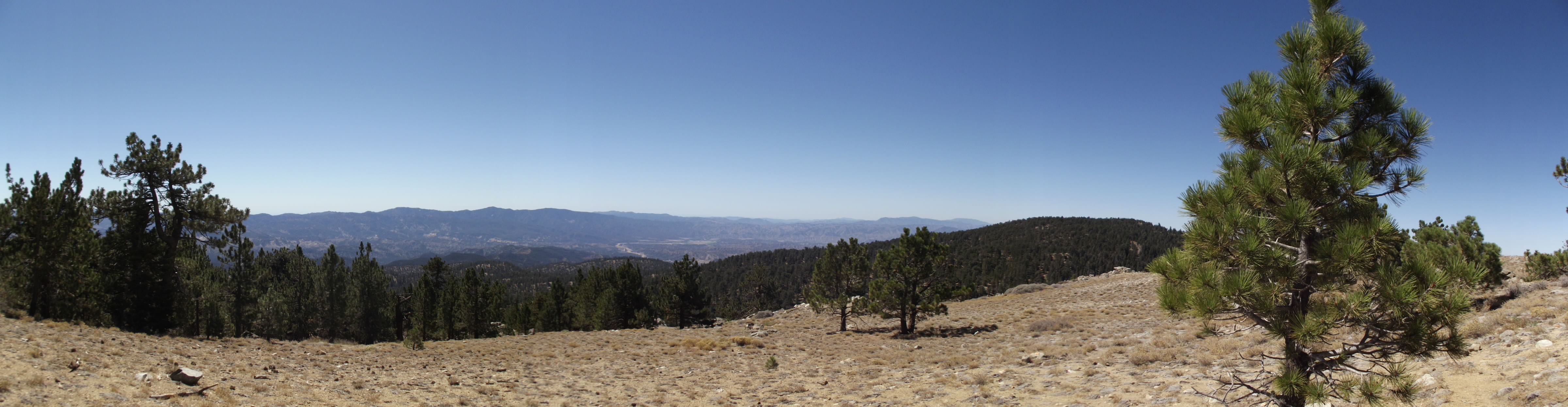
View from Mount Pinos 1
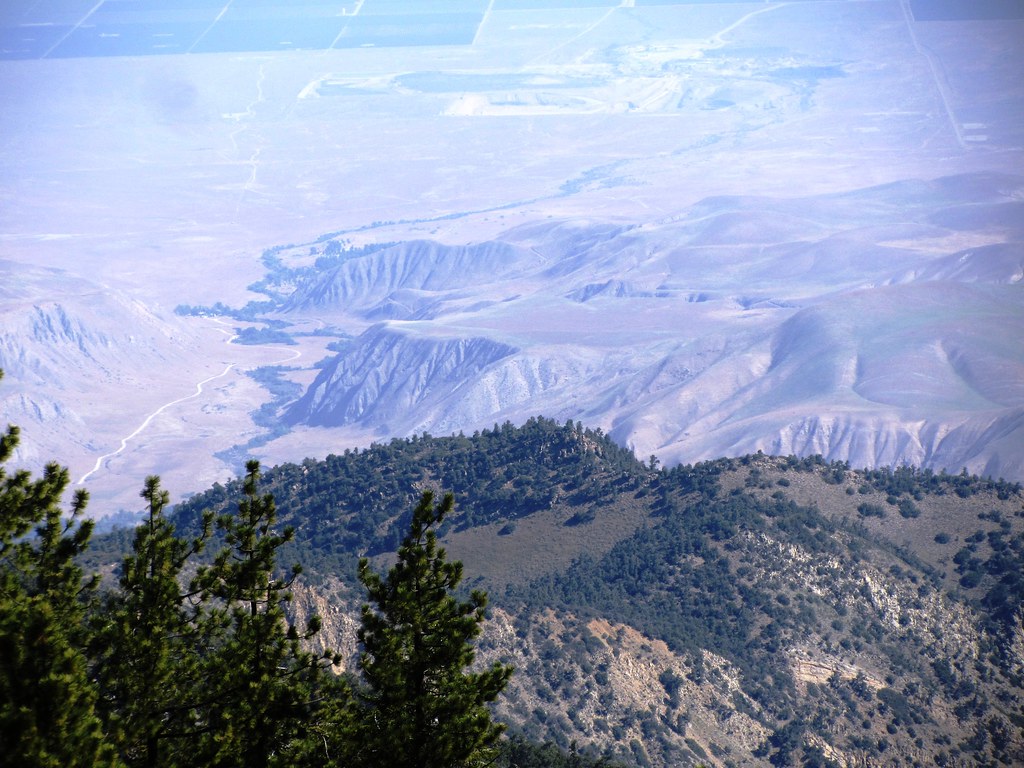
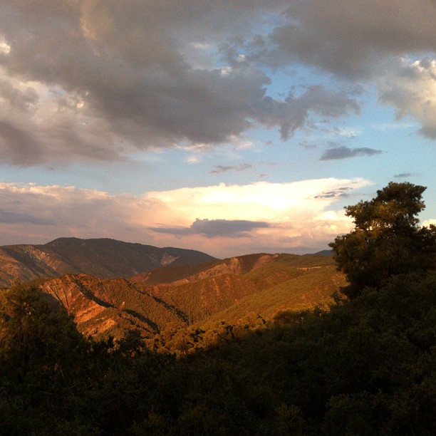
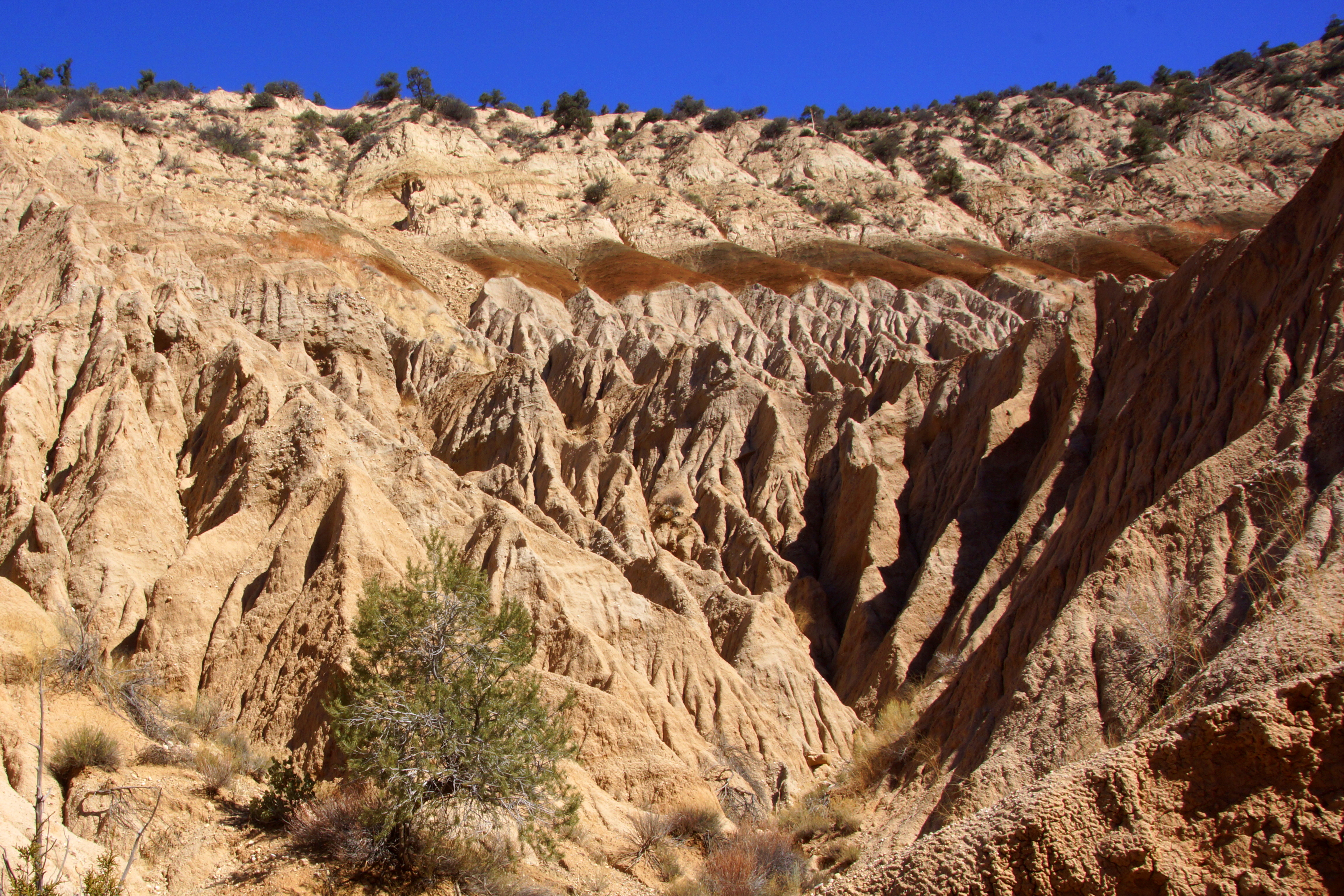
Looking down from atop the San Emidio Range
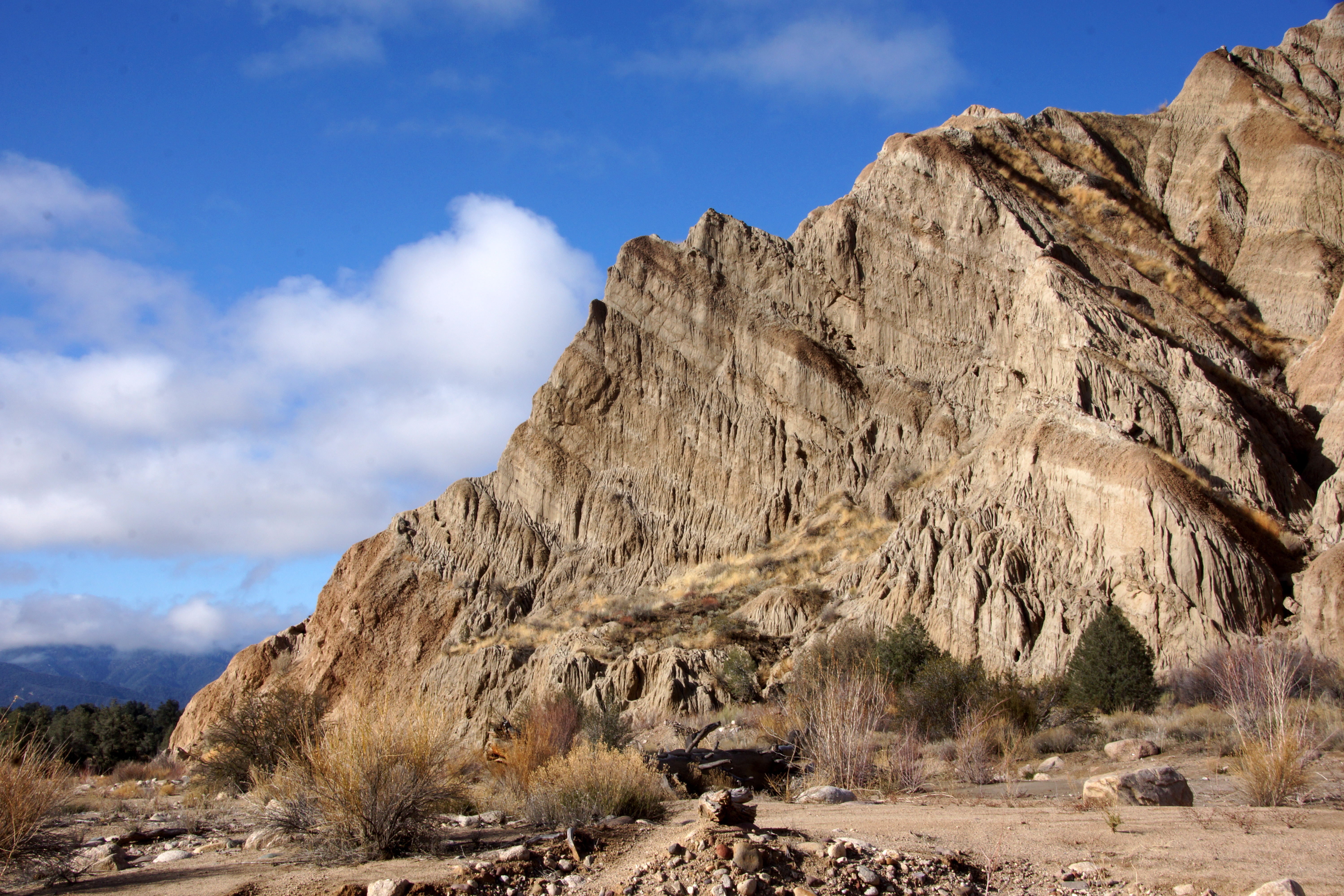
Wind Wolves Preserve
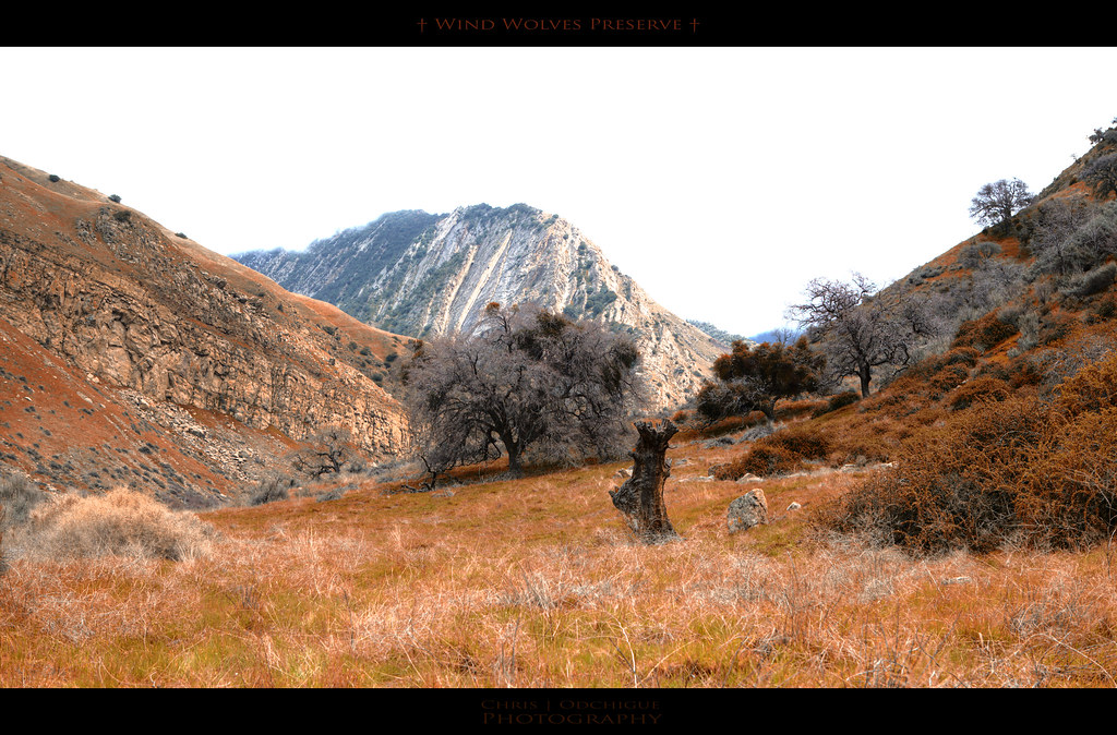
Wind Wolves Preserve
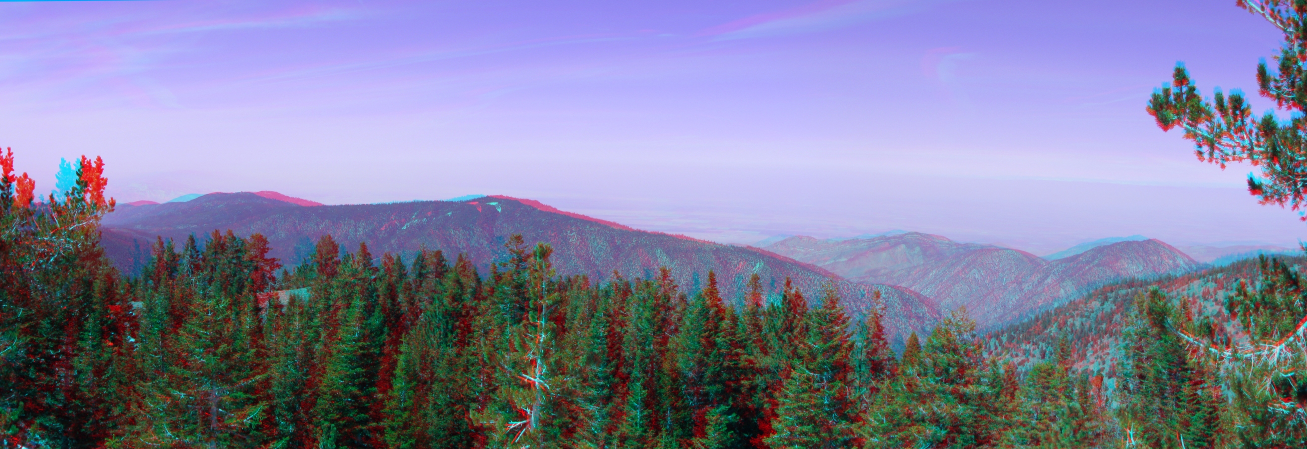
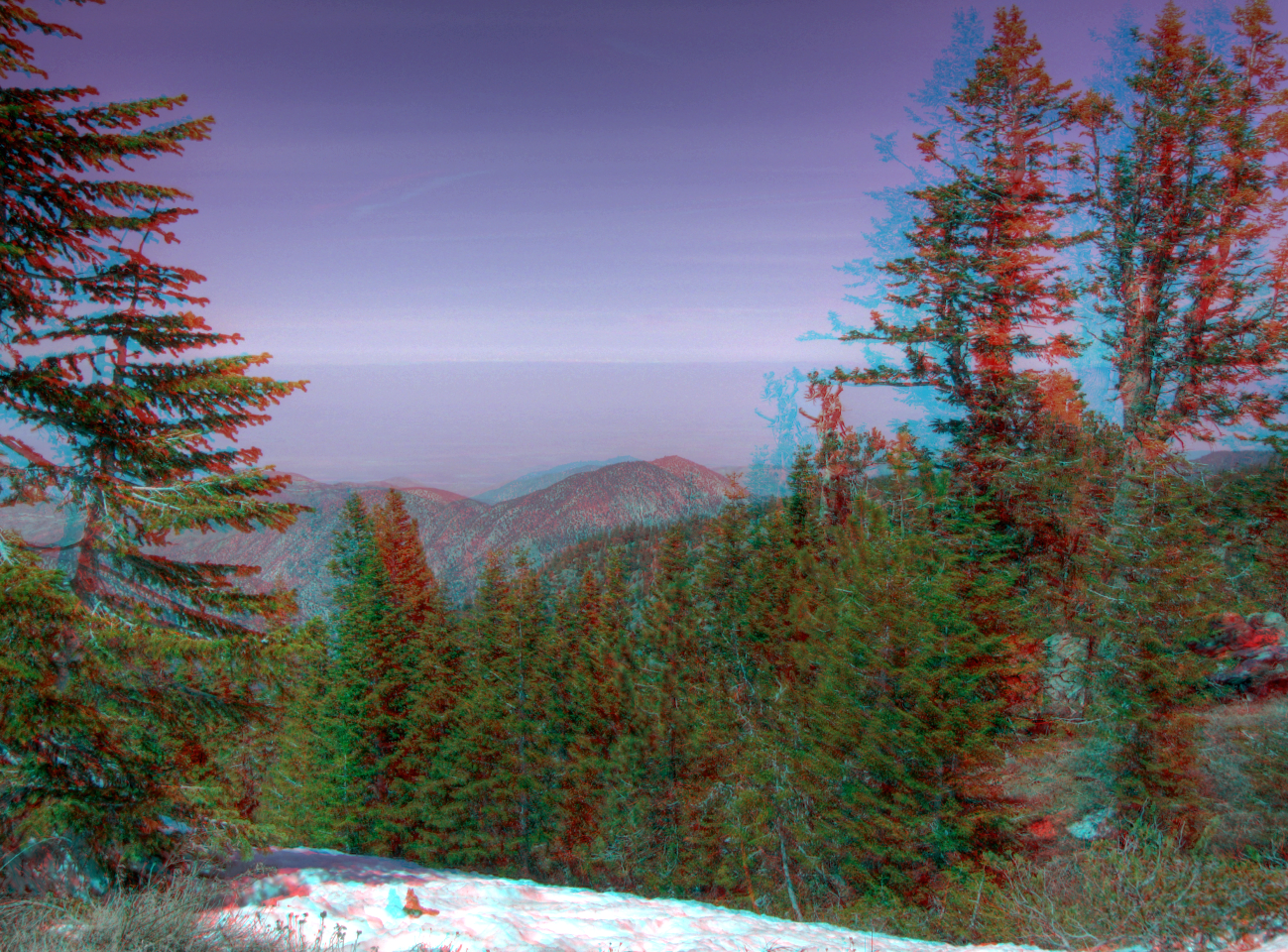
View North from the Summit Pan 3d
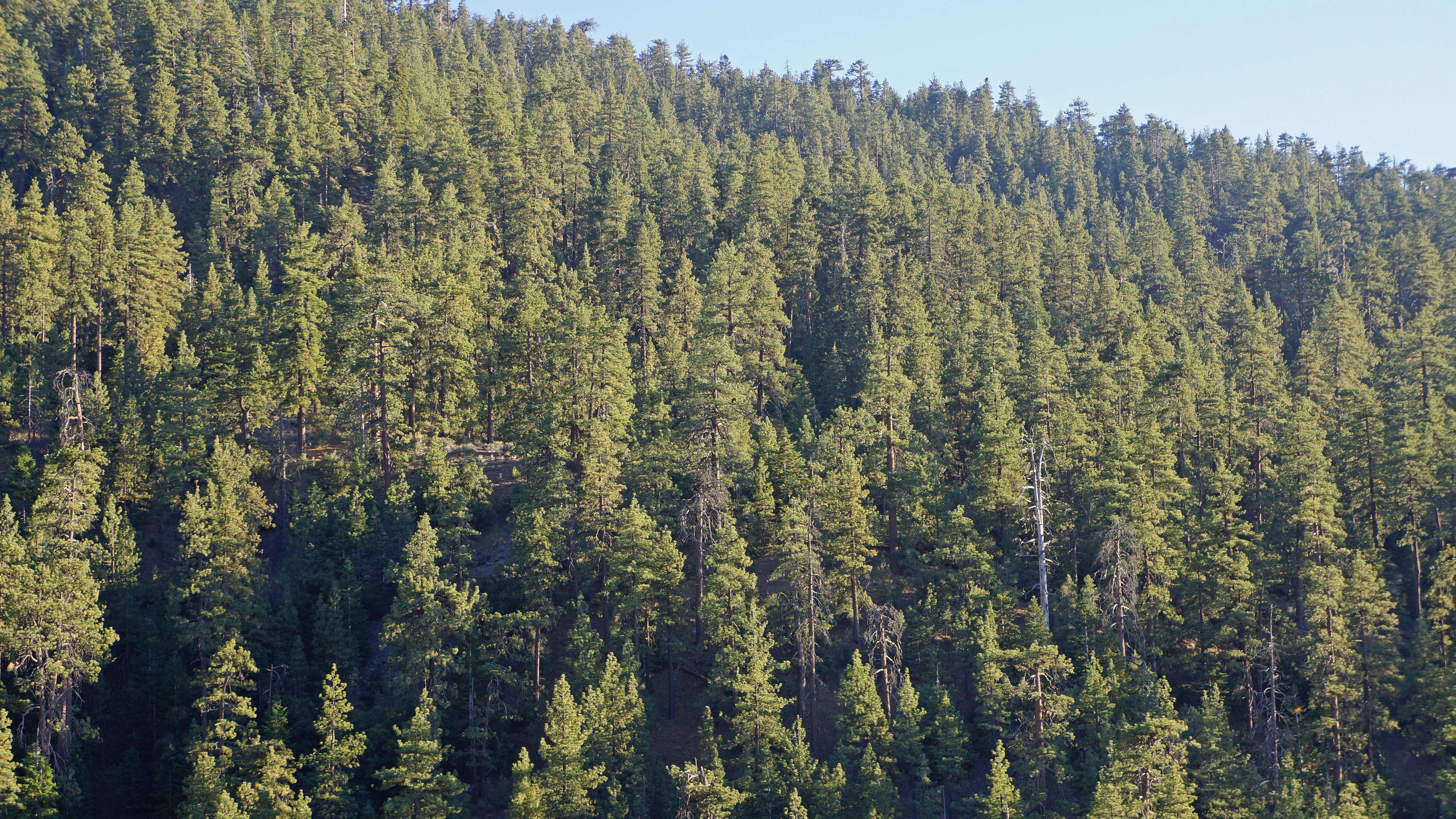
Forest Views
The view from our campsite
Mt. Pinos - X-Country Skiing - 3/23/08 - DSCF0590.JPG
View NNE from the Summit HDR 3d
Mt. Pinos - X-Country Skiing - 3/23/08 - DSCF0616.JPG
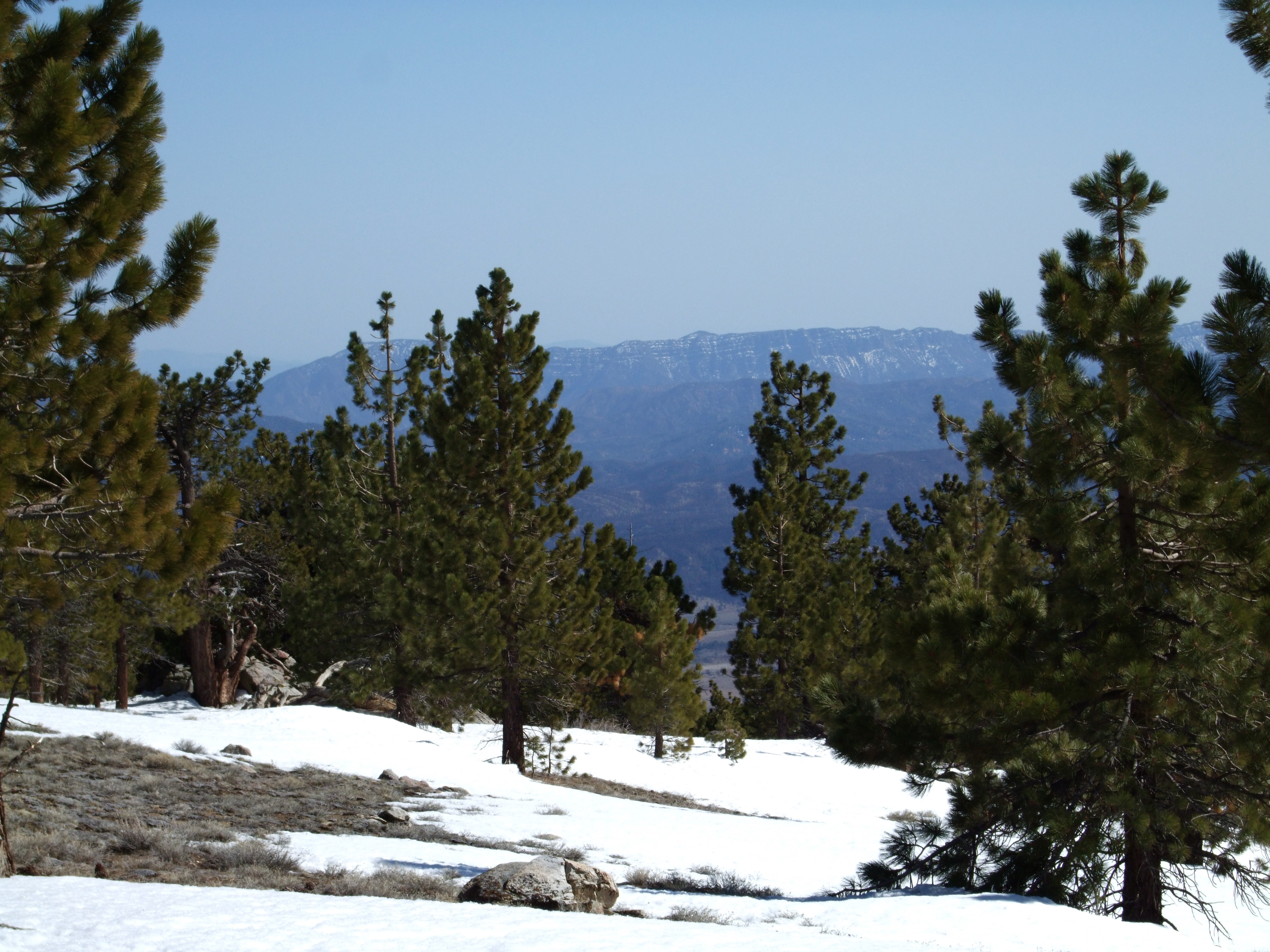
Mt. Pinos - X-Country Skiing - 3/23/08 - DSCF0604.JPG

IMG_5619.jpg
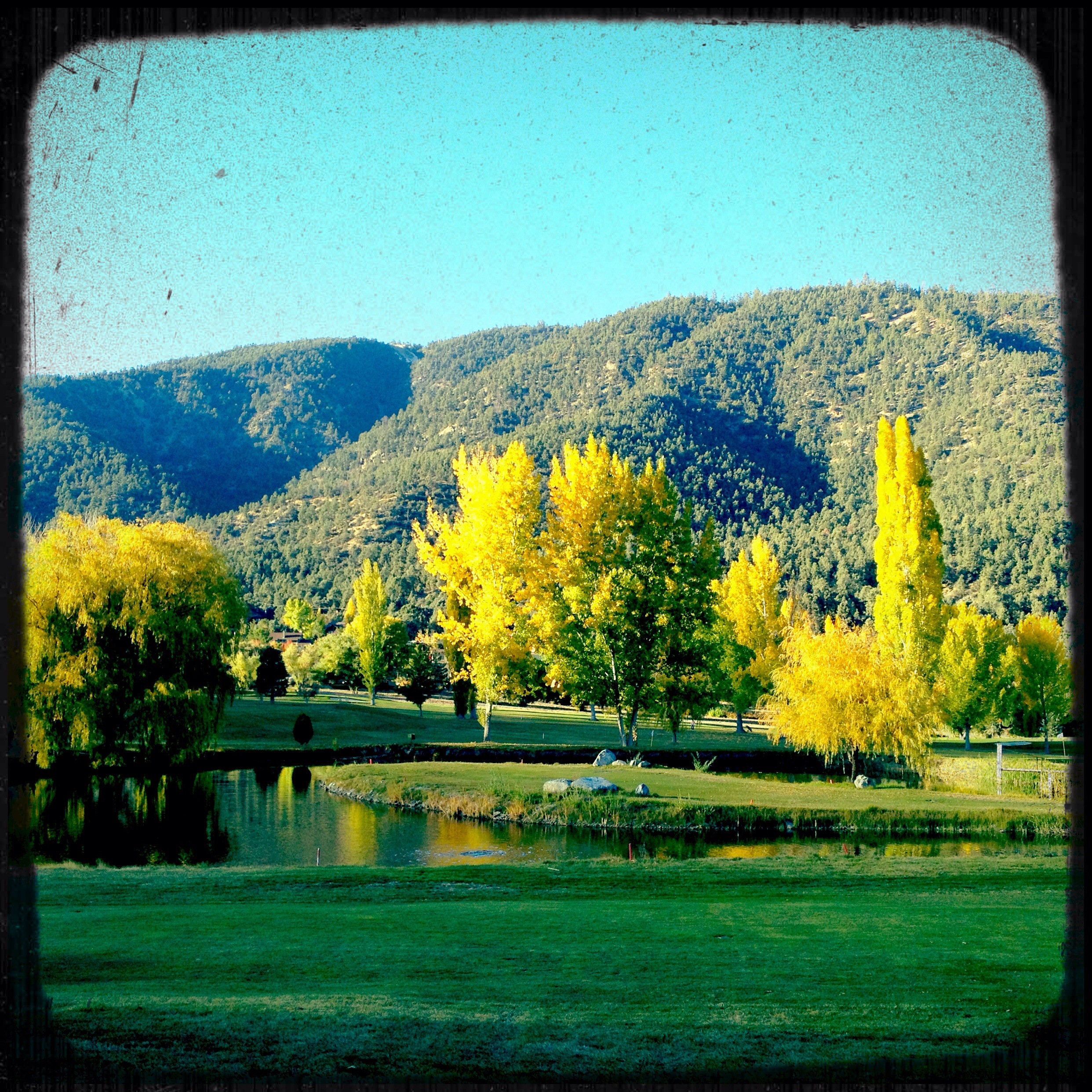
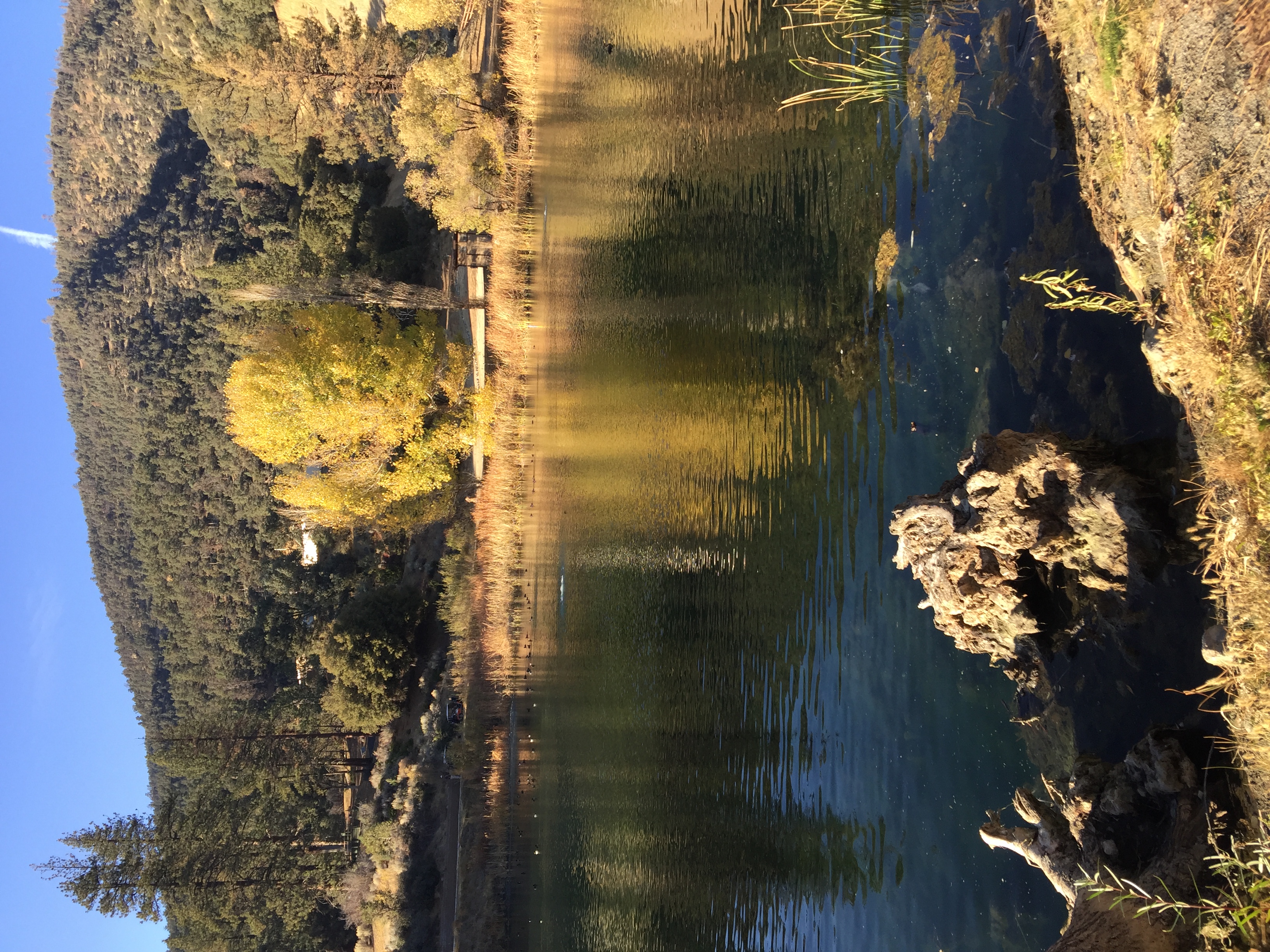
Fall setting in

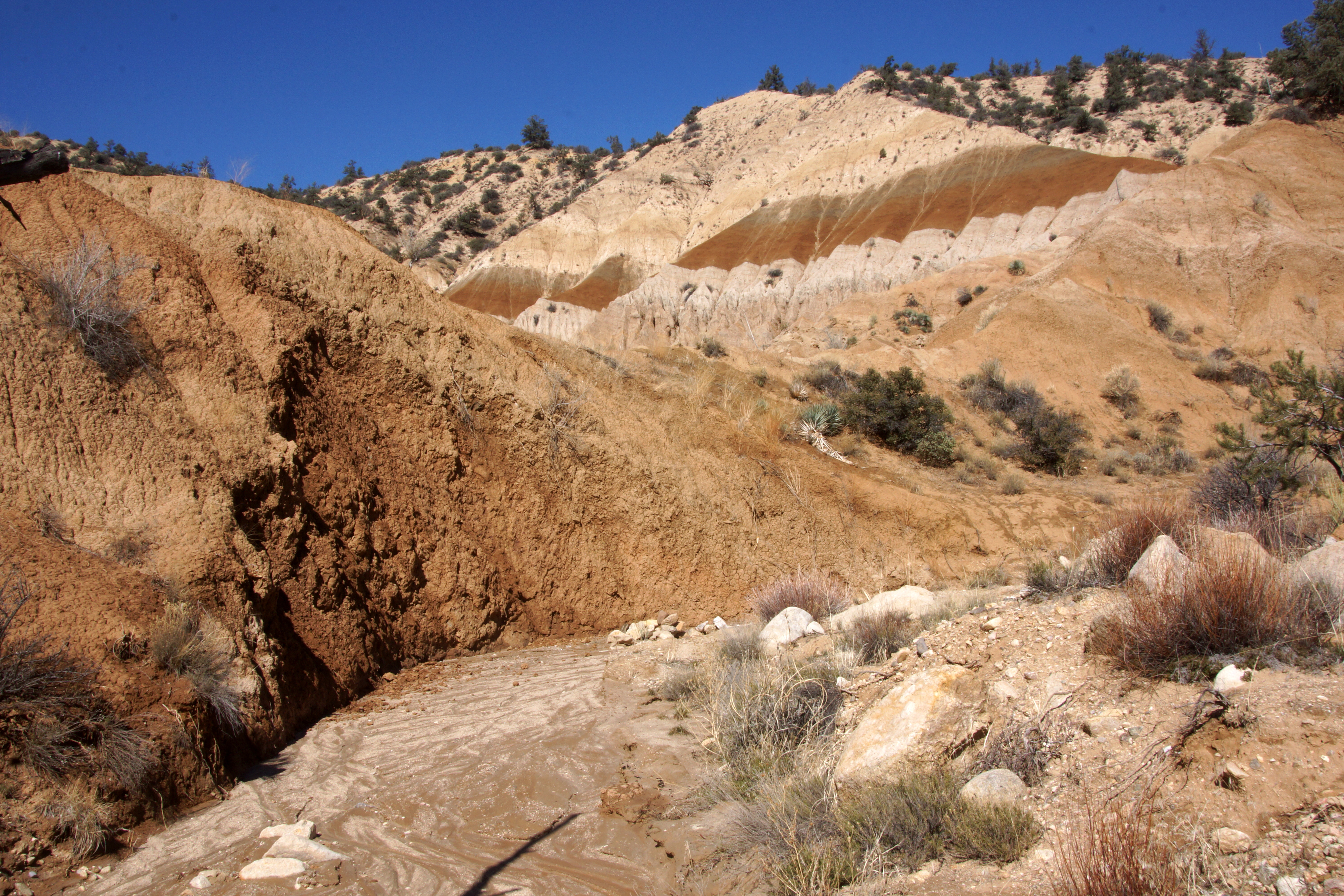
Drainage Path (p)
Fall on the water
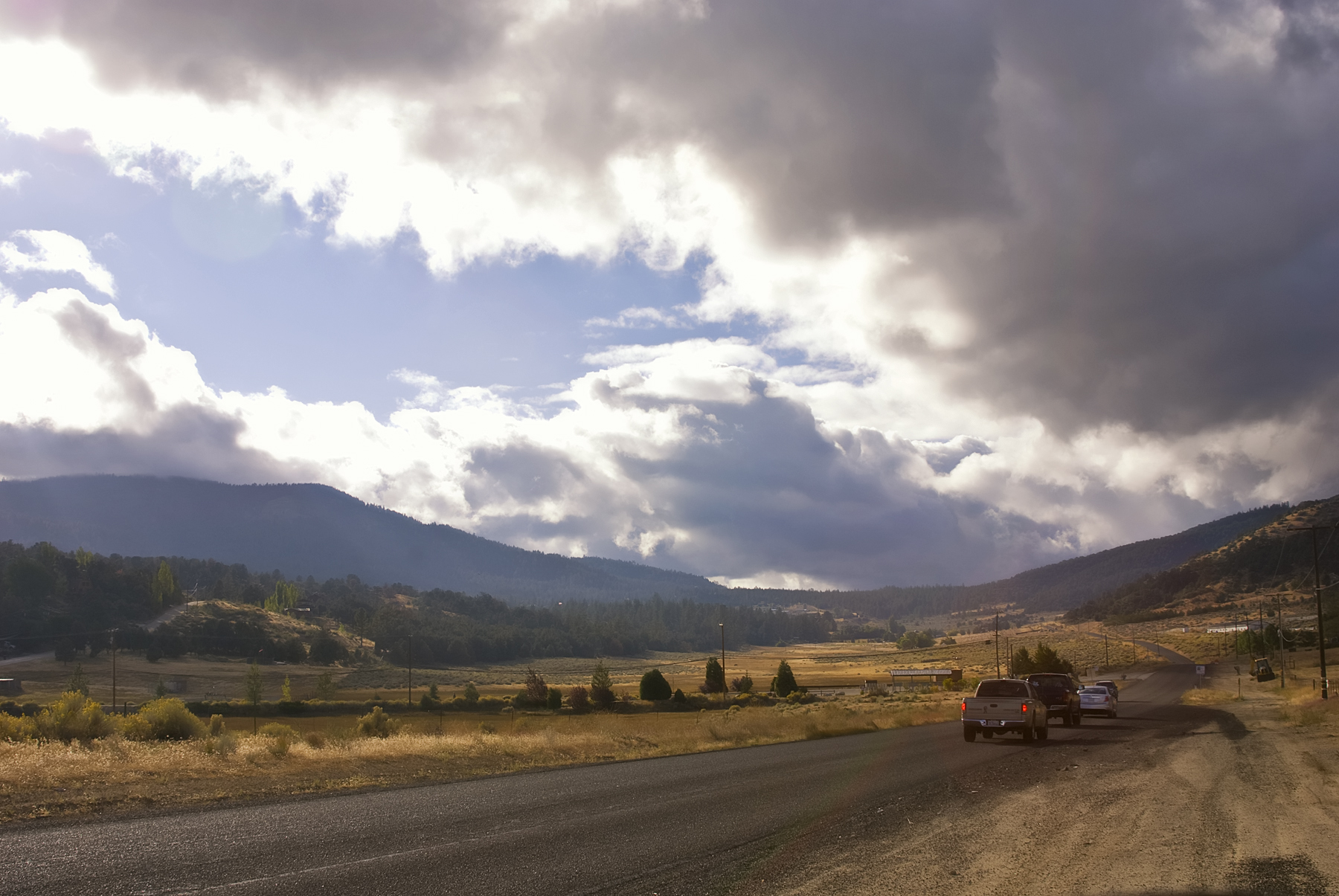
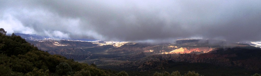
Storm Clouds
Far from home
0325-095110
0325-082345b
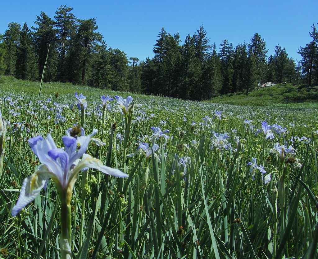
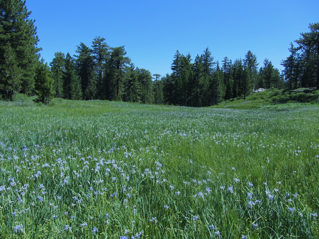
High Mountain Meadow Filled With Western Blue Flag
0421-133637
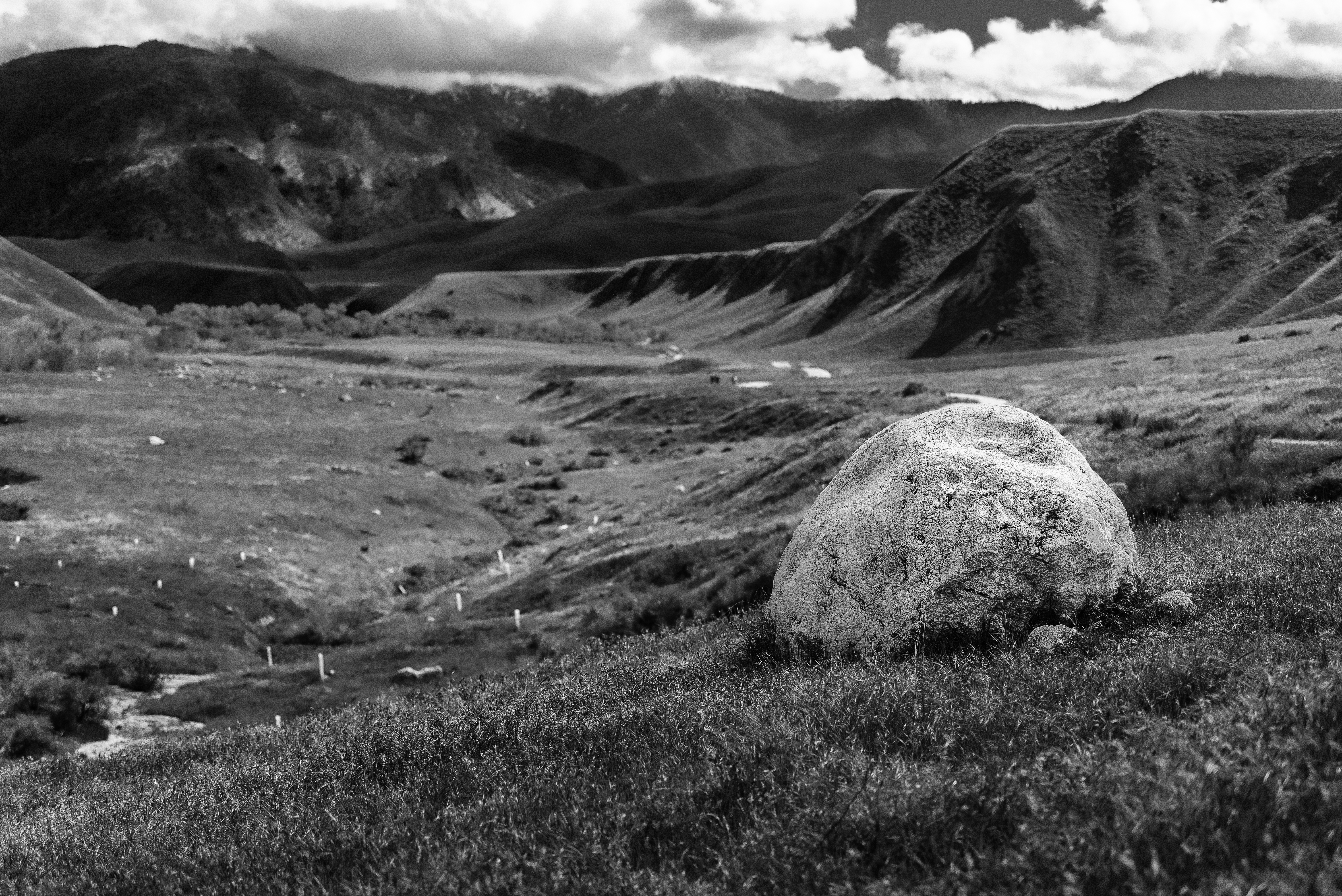
Like a rolling stone
Before the Rains
Taken Back
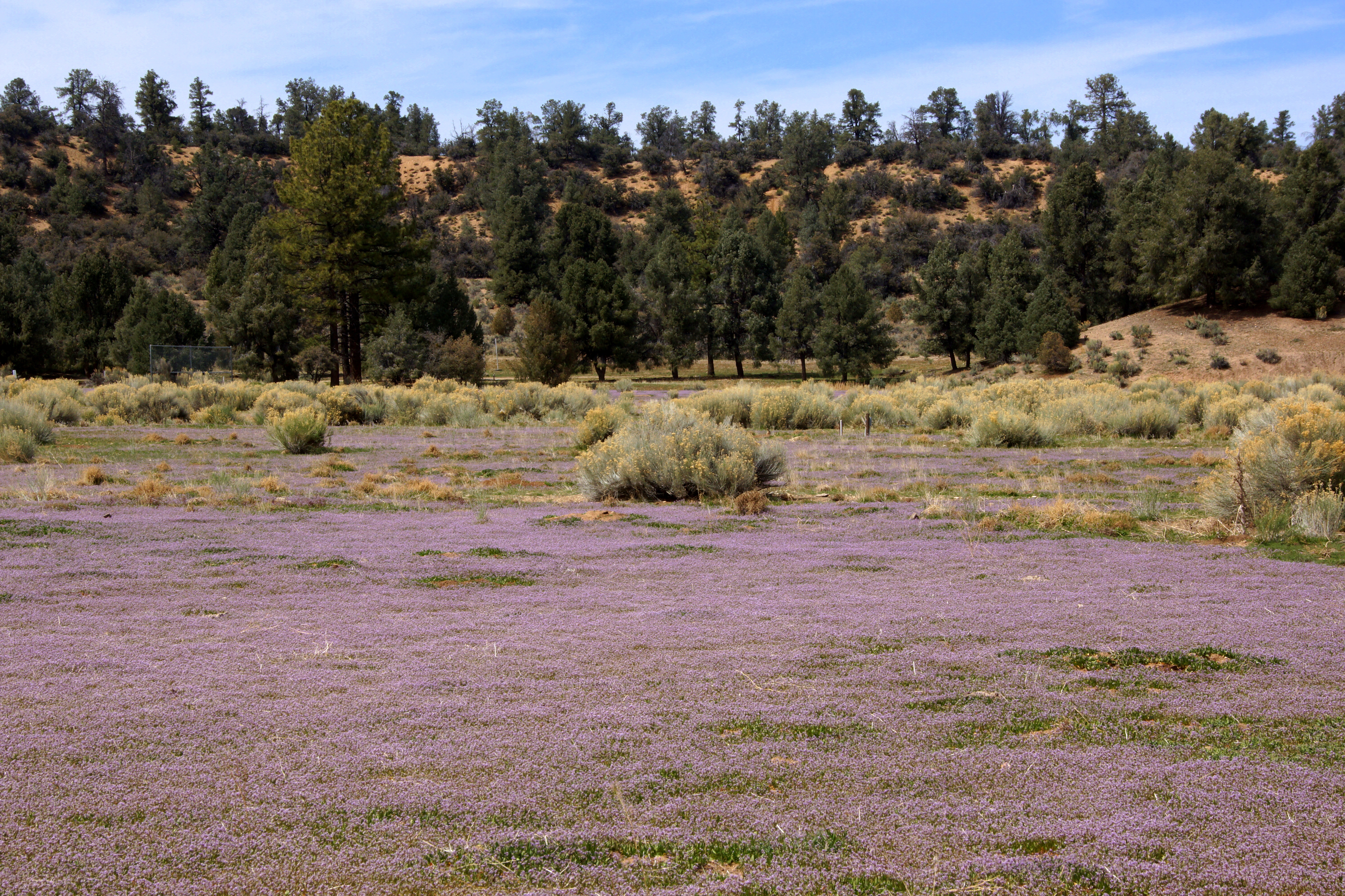
High Mountain Meadow Mt. Pinos July 2011

L7250008.NEF
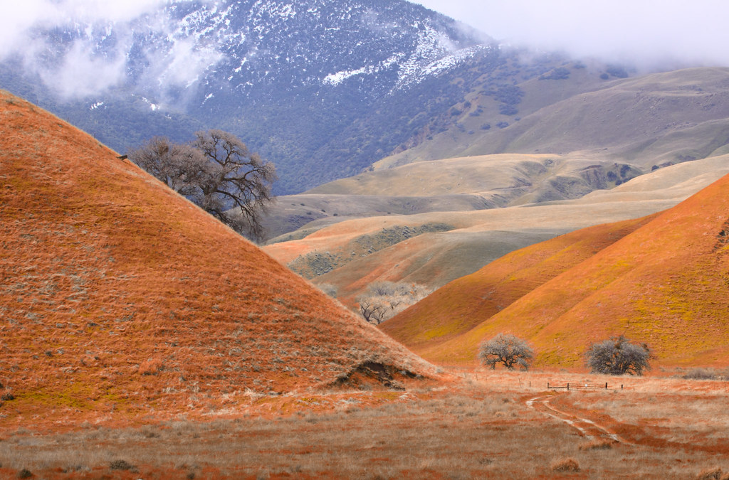
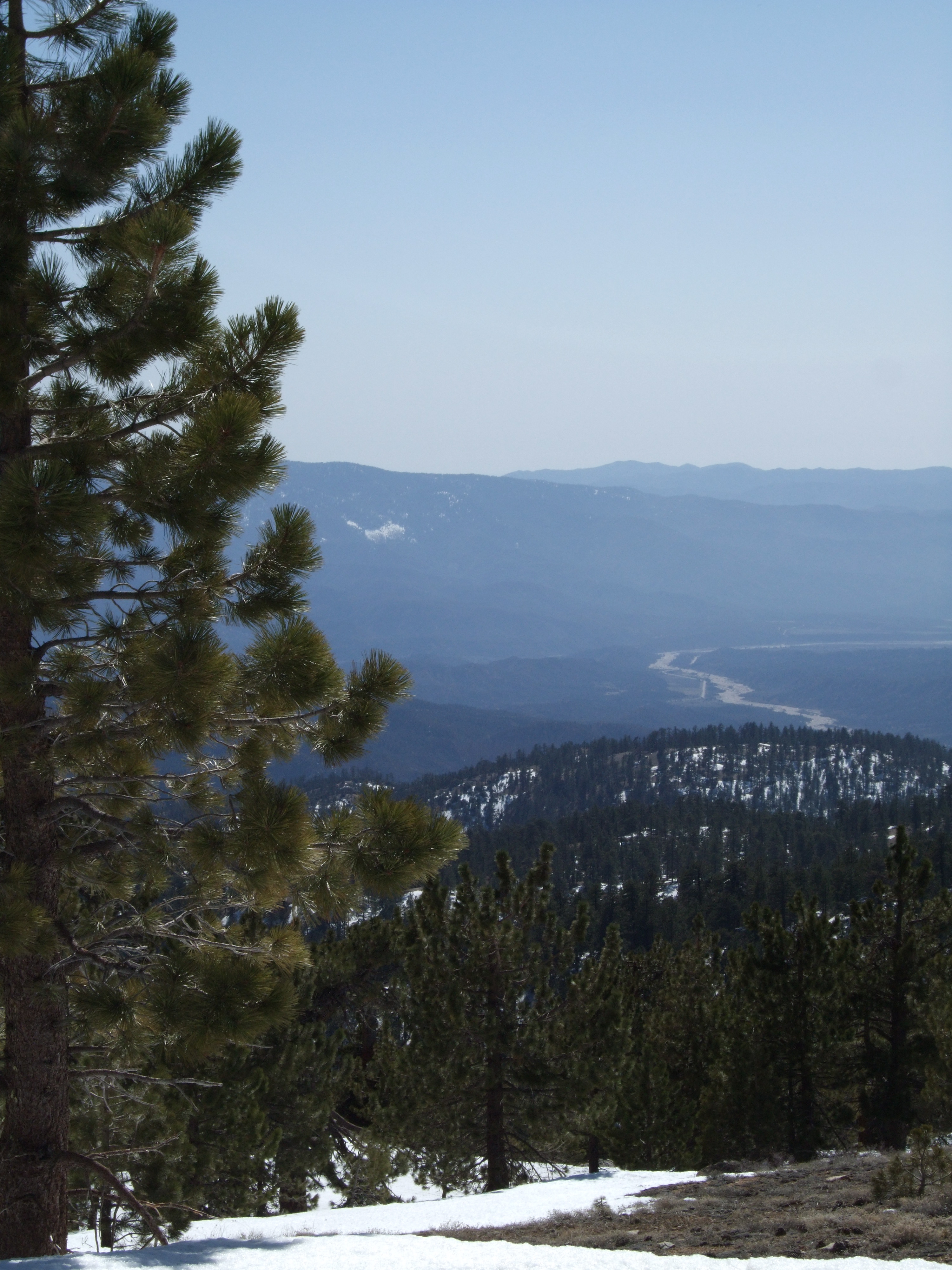
Cuyama River Valley
Pine Mountain Club
0325-094208
Topographic Map of Banff Dr, Pine Mountain Club, CA, USA
Find elevation by address:

Places near Banff Dr, Pine Mountain Club, CA, USA:
1421 Banff Dr
1324 Banff Dr
1505 Bernina Dr
1821 Bernina Dr
1809 Freeman Dr
1709 Lassen Way
1501 Lassen Way
16009 Zurich Way
2105 Pinewood Ct
1913 Navajo Ct
2222 Bernina Dr
16240 Askin Dr
Pine Mountain Club
Peak To Peak Realty, Pine Mountain Club Ca
Pine Mountain Club Real Estate
2524 Brentwood Pl
15432 Shasta Way
15421 Shasta Way
2616 Teakwood Ct
2616 Teakwood Ct
Recent Searches:
- Elevation of Lampiasi St, Sarasota, FL, USA
- Elevation of Elwyn Dr, Roanoke Rapids, NC, USA
- Elevation of Congressional Dr, Stevensville, MD, USA
- Elevation of Bellview Rd, McLean, VA, USA
- Elevation of Stage Island Rd, Chatham, MA, USA
- Elevation of Shibuya Scramble Crossing, 21 Udagawacho, Shibuya City, Tokyo -, Japan
- Elevation of Jadagoniai, Kaunas District Municipality, Lithuania
- Elevation of Pagonija rock, Kranto 7-oji g. 8"N, Kaunas, Lithuania
- Elevation of Co Rd 87, Jamestown, CO, USA
- Elevation of Tenjo, Cundinamarca, Colombia