Elevation of Lassen Way, Pine Mountain Club, CA, USA
Location: United States > California > Kern County > Pine Mountain Club >
Longitude: -119.15767
Latitude: 34.836577
Elevation: 1830m / 6004feet
Barometric Pressure: 81KPa
Elevation Map:
Satellite Map:
Related Photos:

Sky Dazzle, Mt Pinos Star Party
Tejon Pass, Southern California Winter
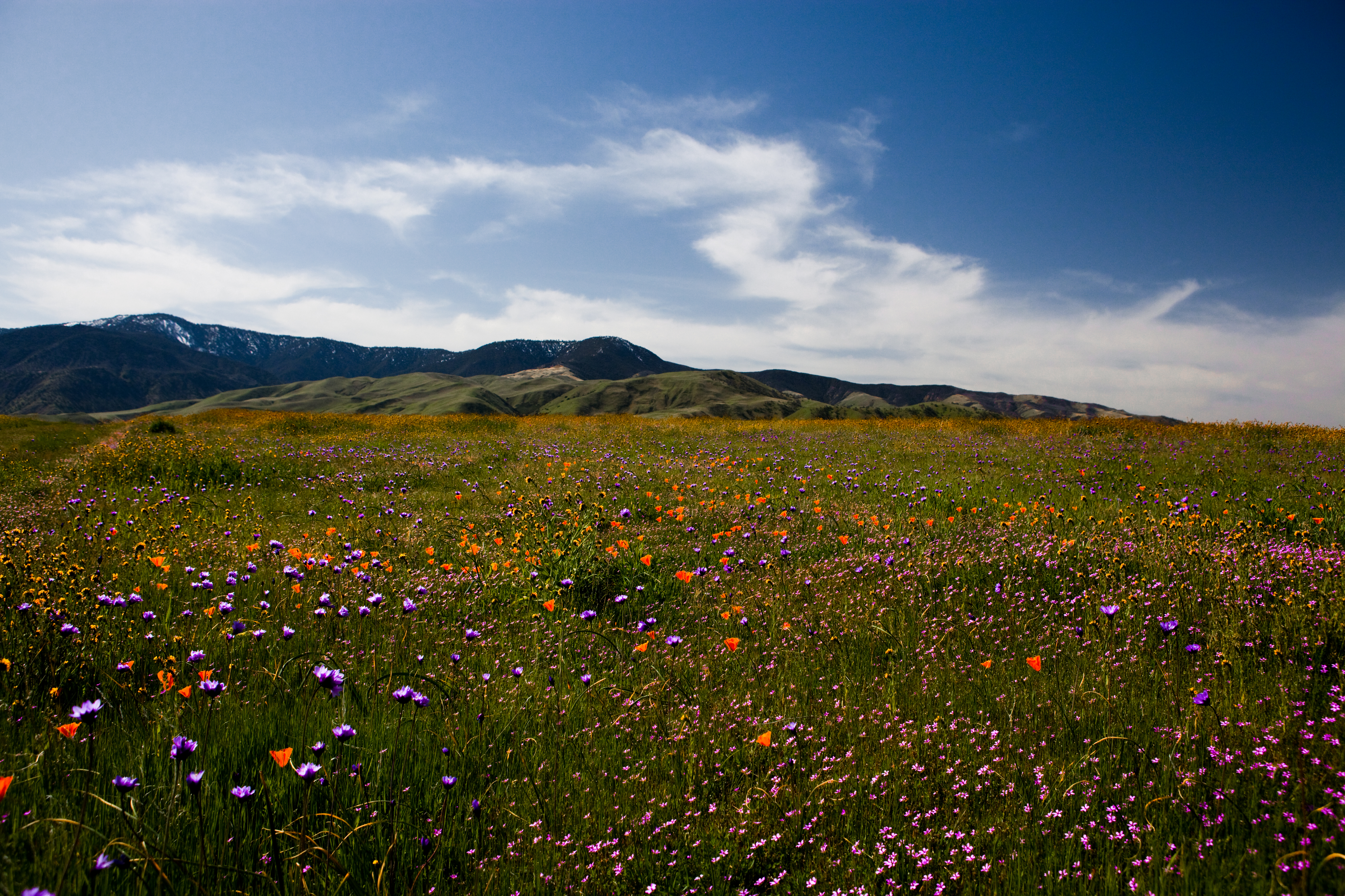
Wild Flowers

Infrared pine
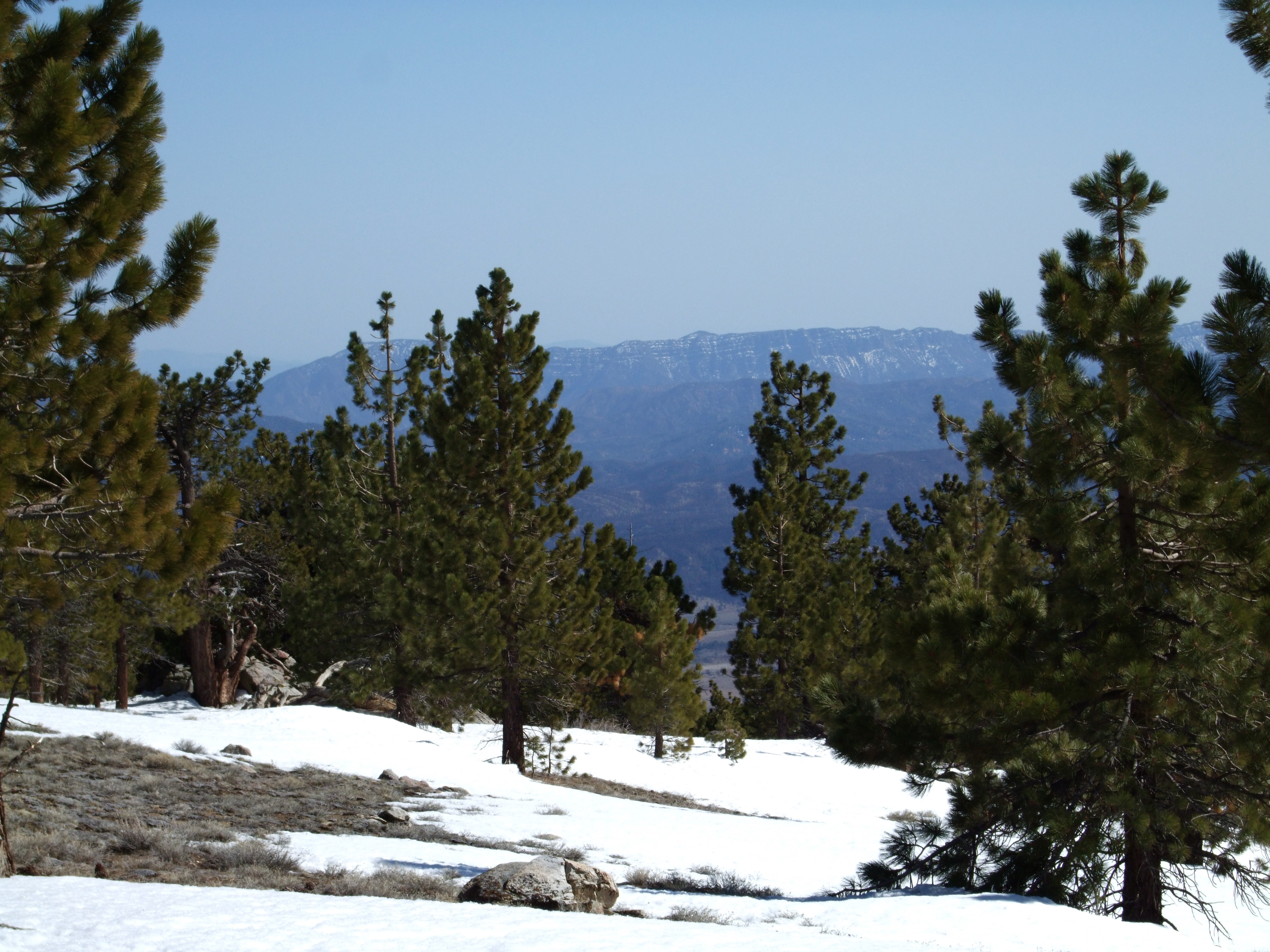
Mount Pinos
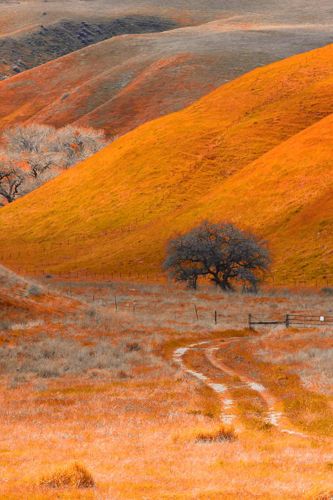
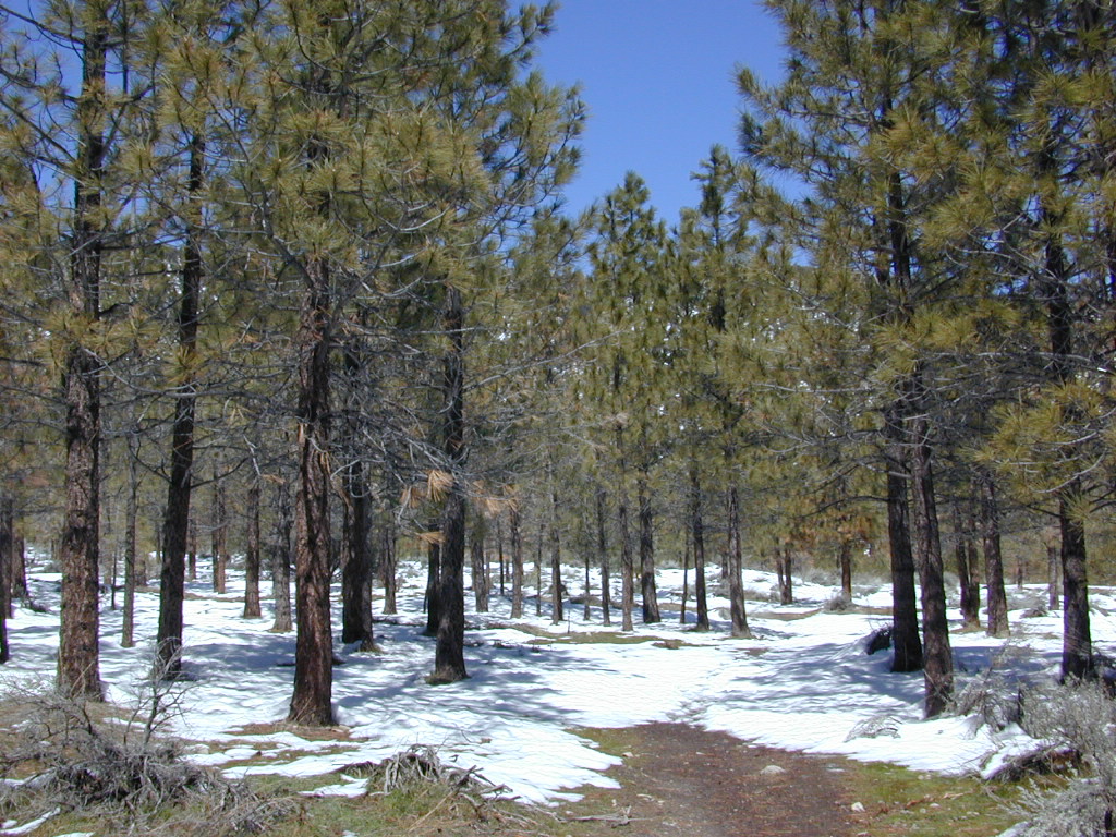
Road less travelled
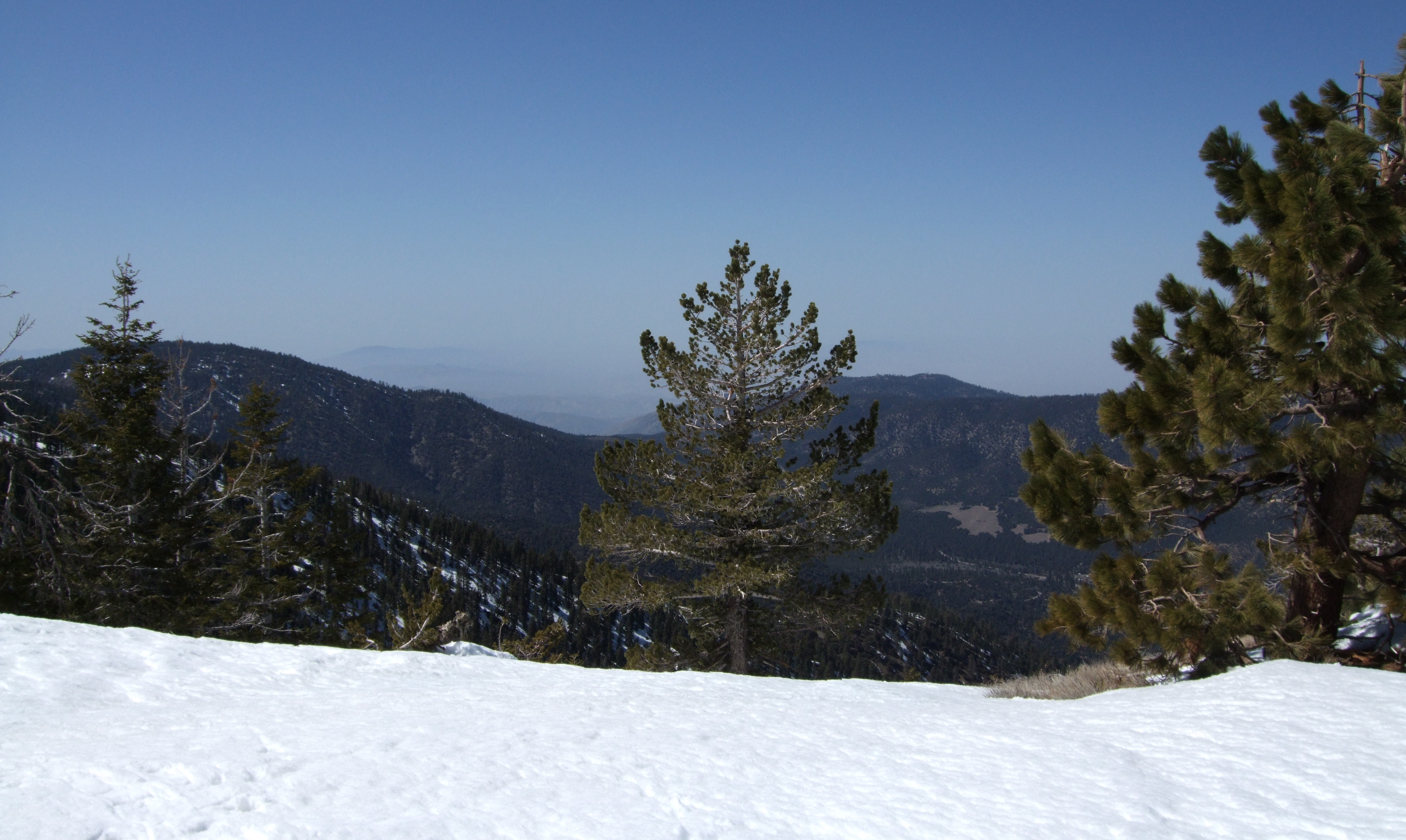
View from Mount Pinos 1

Mt. Pinos - X-Country Skiing - 3/23/08 - DSCF0606.JPG
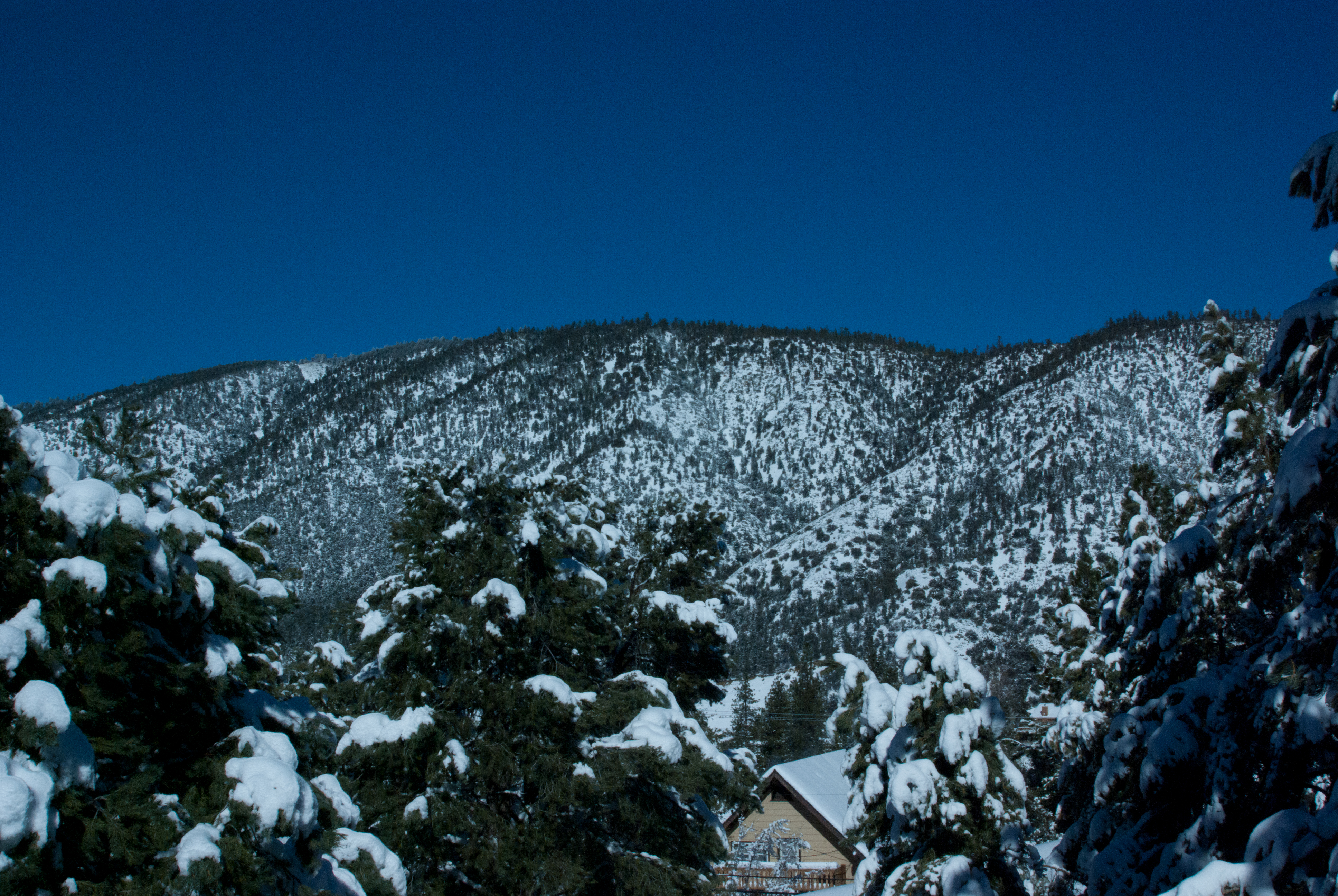
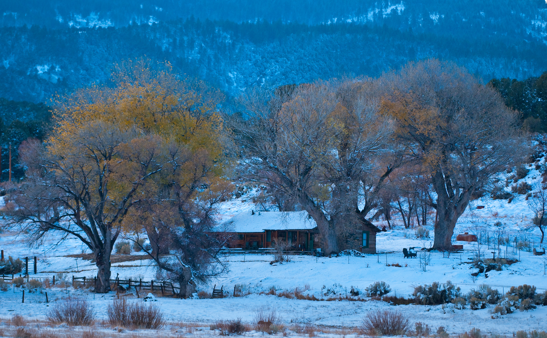
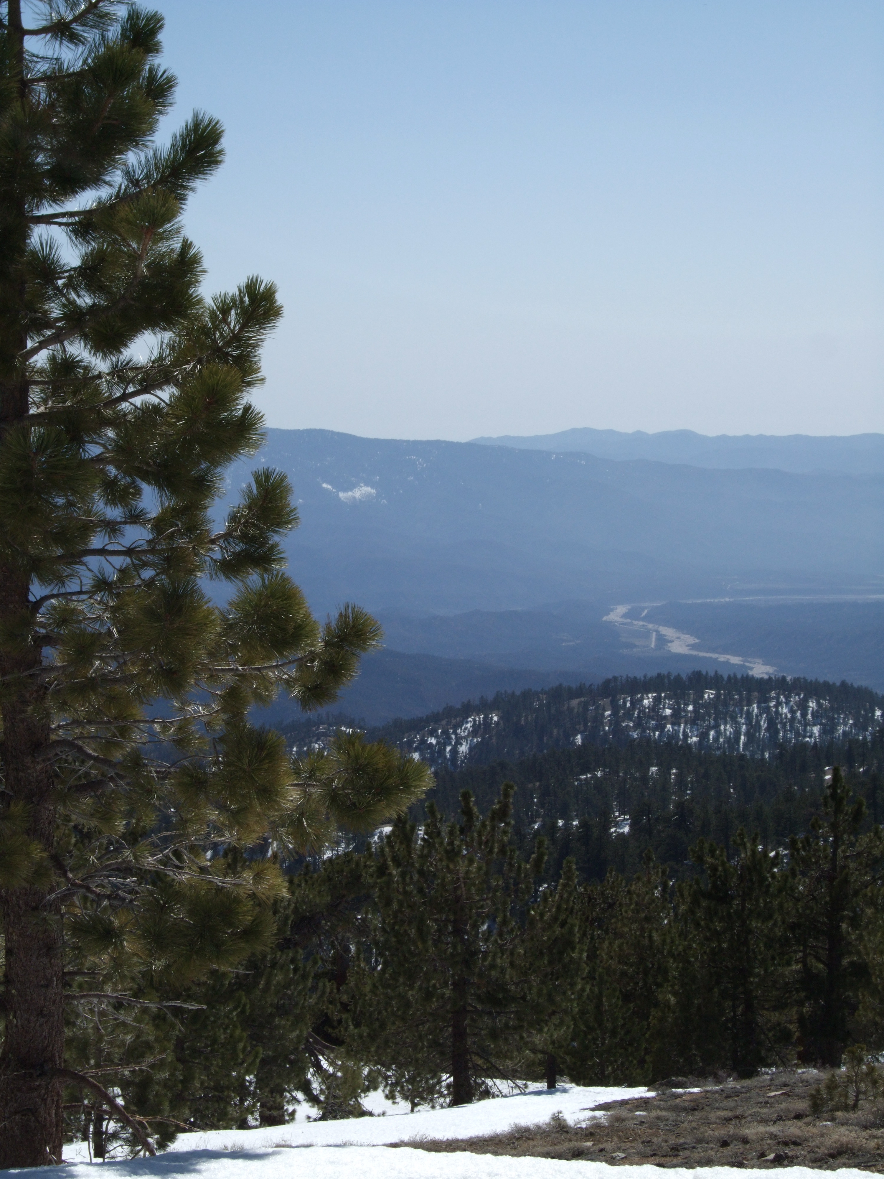
View from the deck
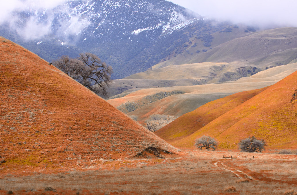
Wind Wolves Preserve
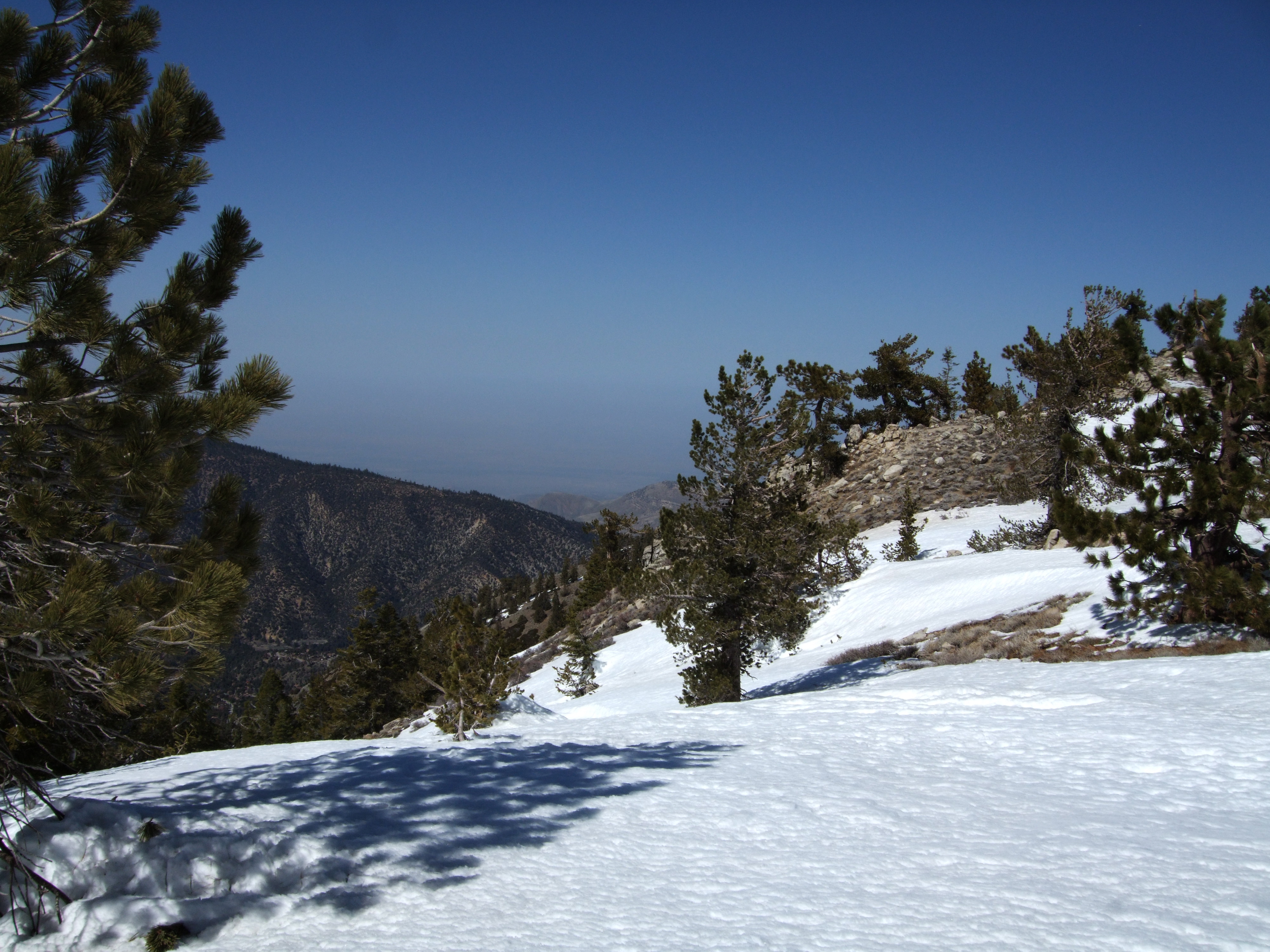
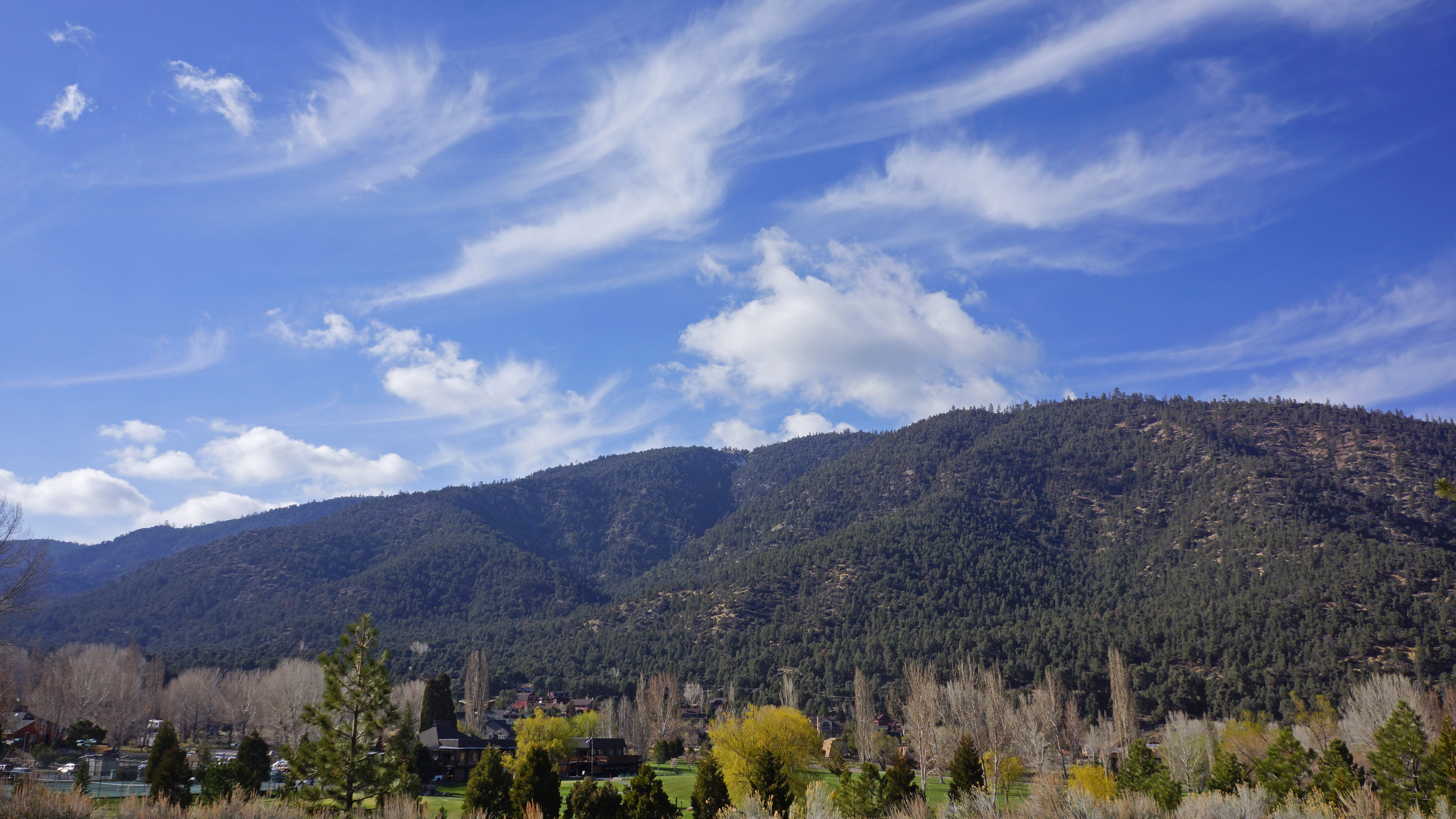
Southwest view
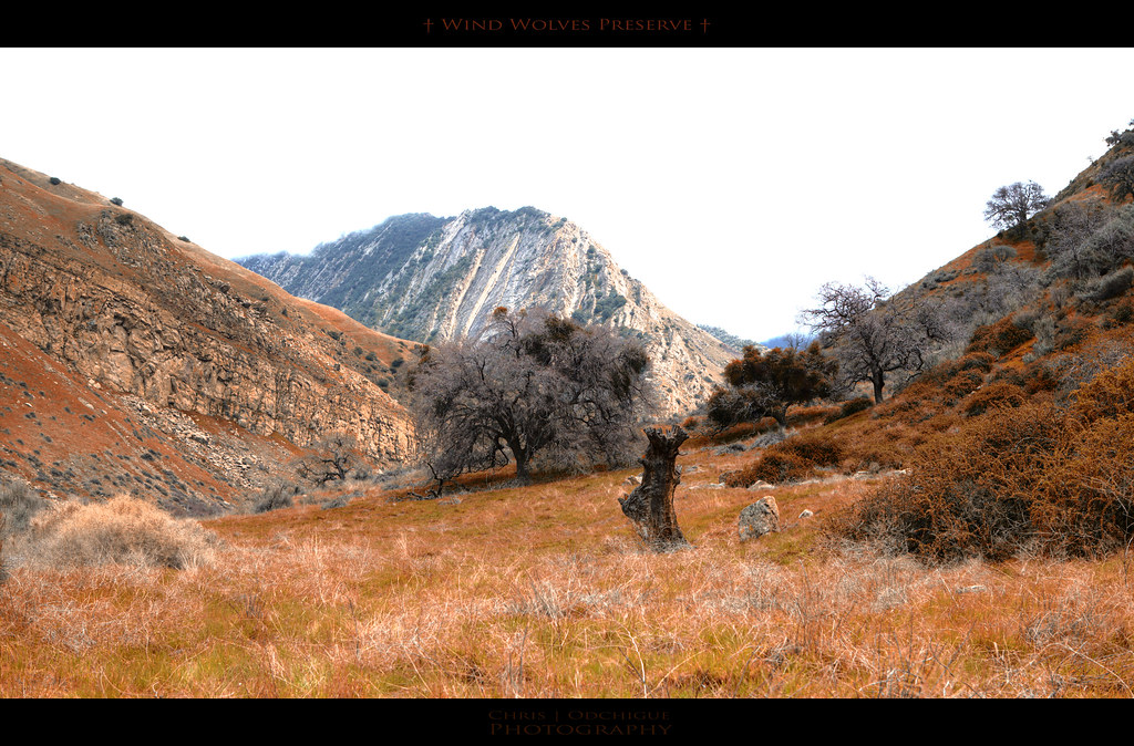
Wind Wolves Preserve
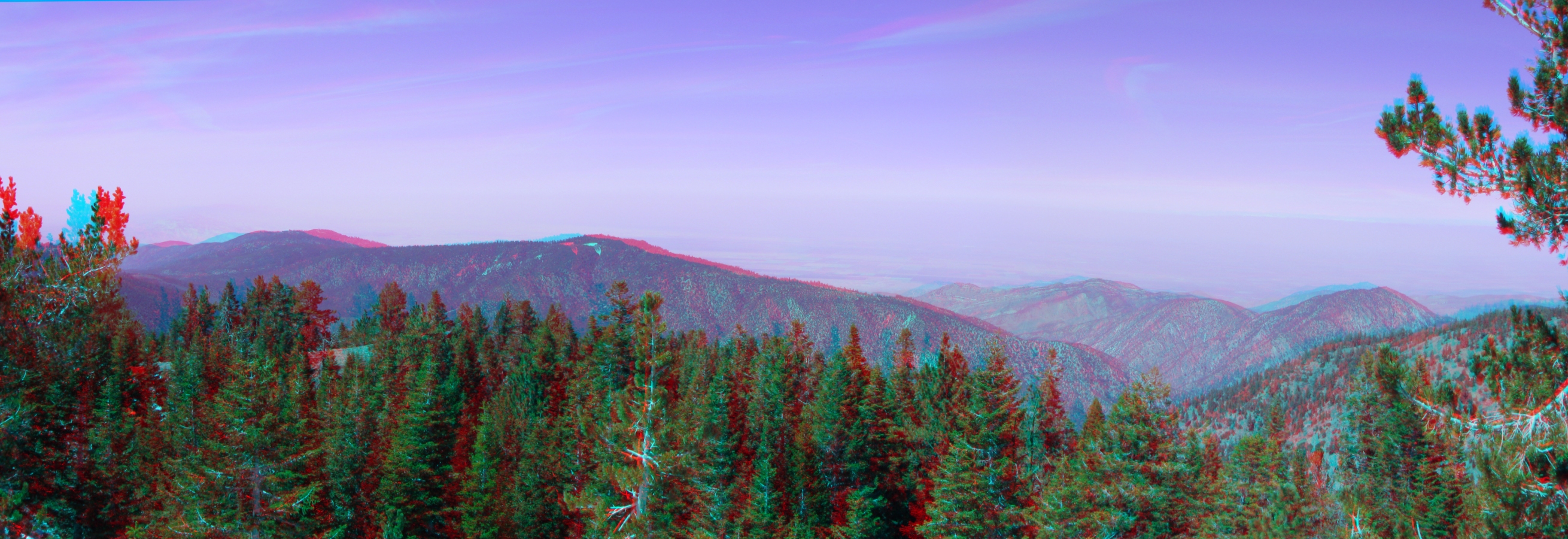
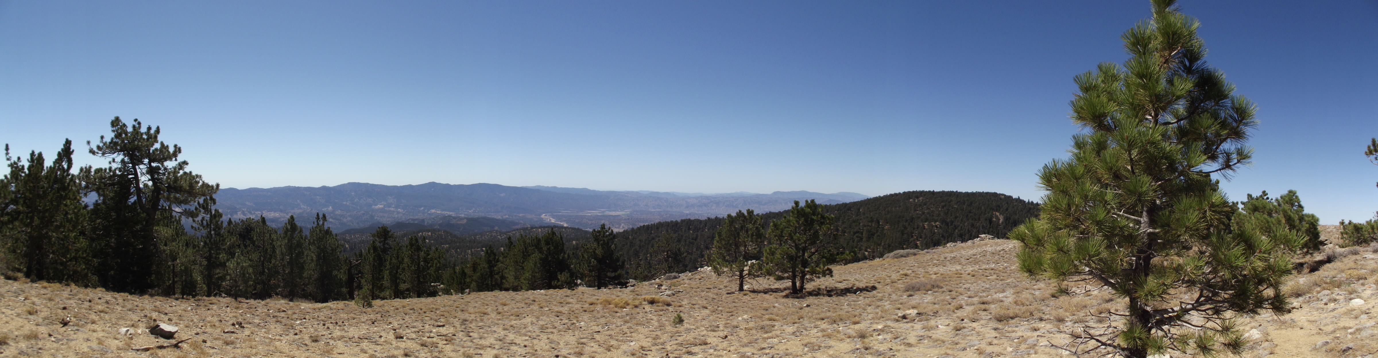
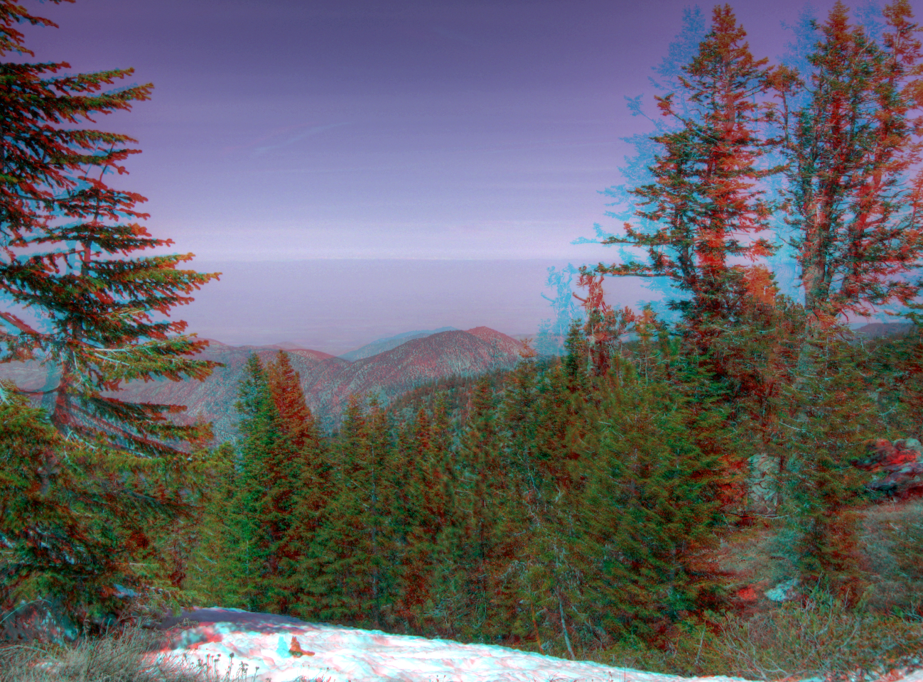
View North from the Summit Pan 3d
The view from our campsite
Mt. Pinos - X-Country Skiing - 3/23/08 - DSCF0604.JPG
Mt. Pinos - X-Country Skiing - 3/23/08 - DSCF0587.JPG
Mt. Pinos - X-Country Skiing - 3/23/08 - DSCF0590.JPG
Mt. Pinos - X-Country Skiing - 3/23/08 - DSCF0616.JPG
Pine Forest pseudo-hdr Vpan 3d
View NNE from the Summit HDR 3d
Colors thru the Trees
Fall on the water
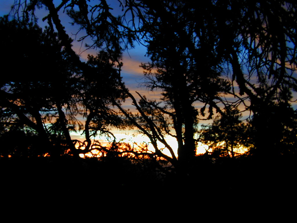
California Sunset
Mil Potrero Snow Hike
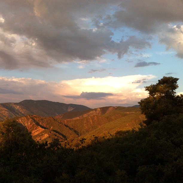
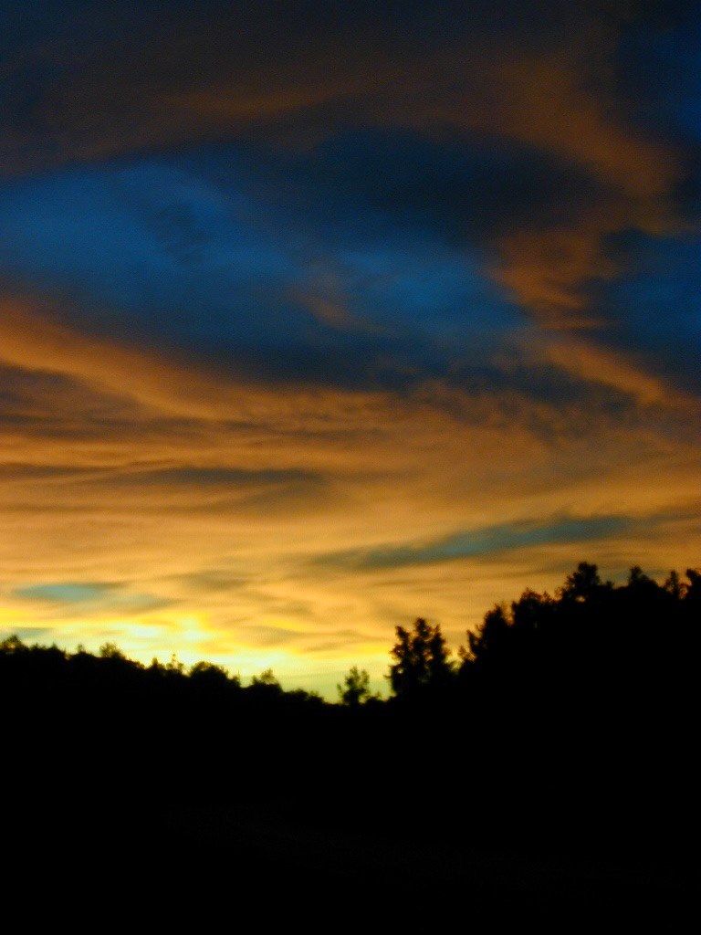
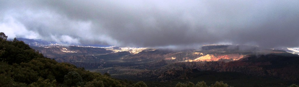
Clouds over the mountain
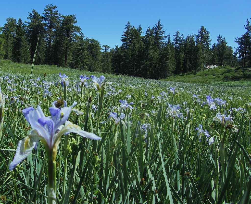
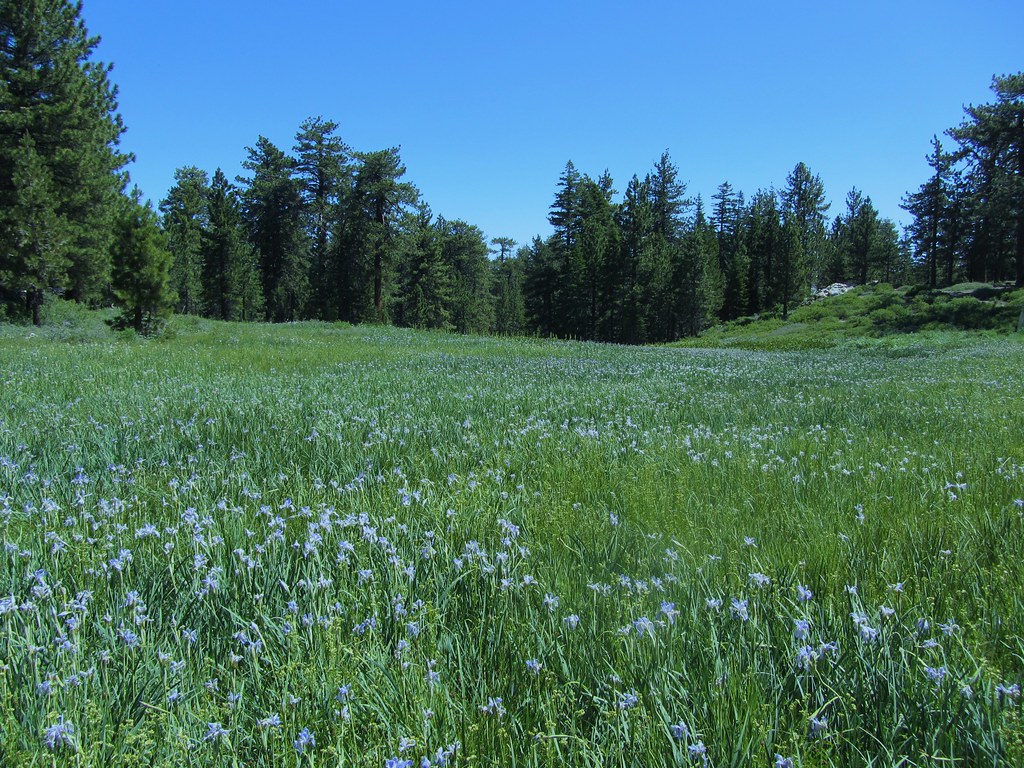
High Mountain Meadow Filled With Western Blue Flag
Cuyama River Valley
High Mountain Meadow Mt. Pinos July 2011

Desert flowers 2016
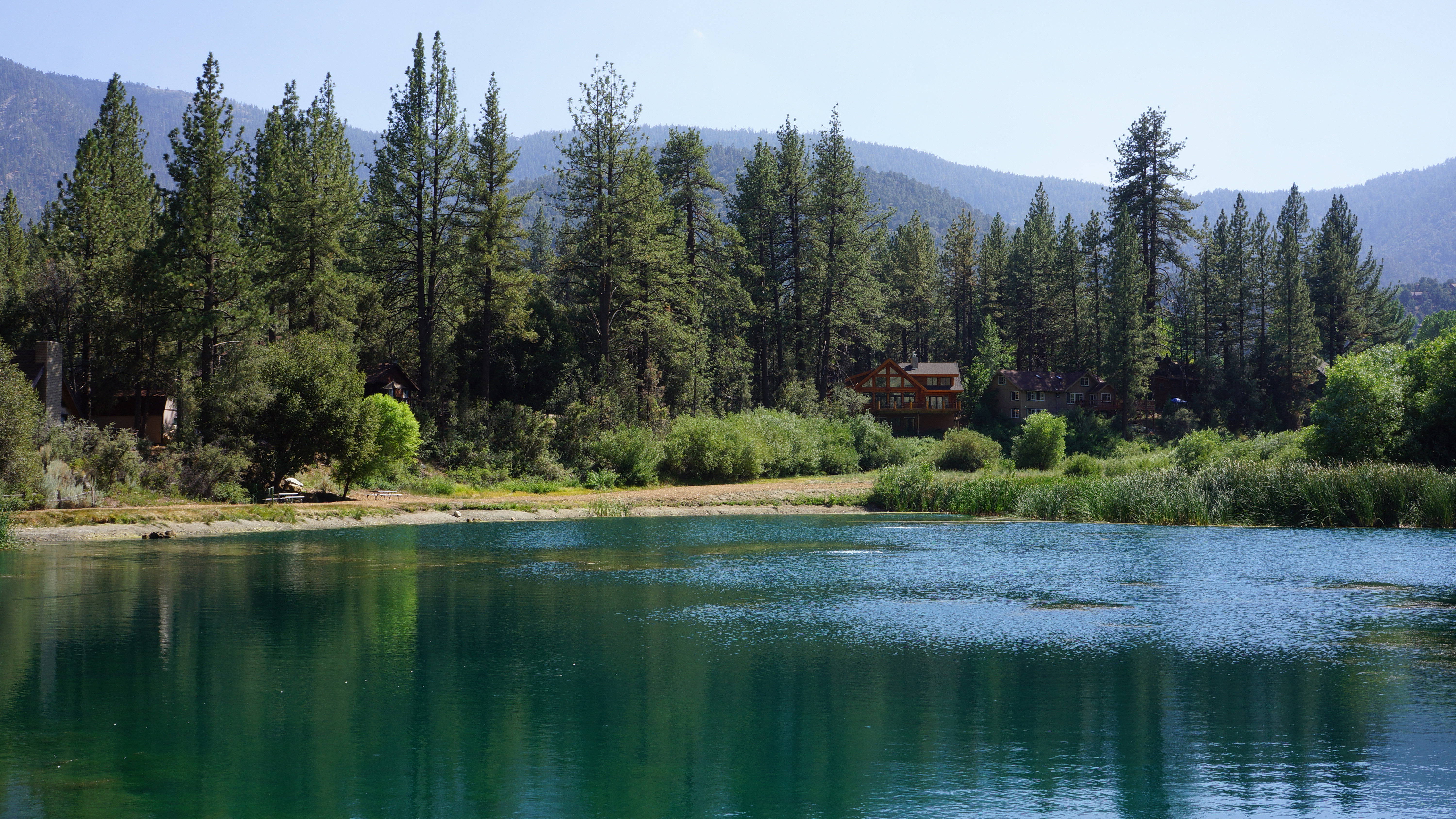
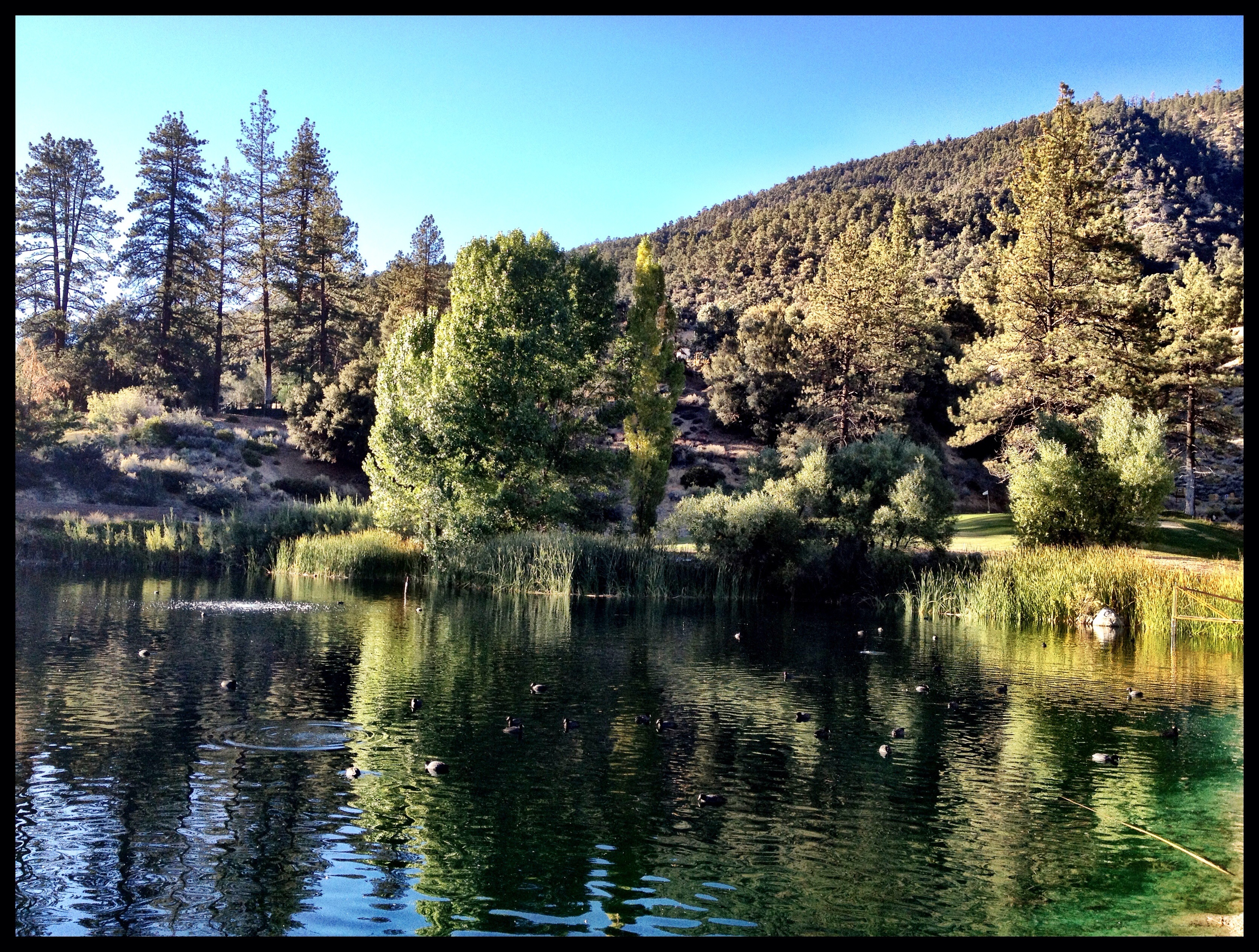
Off the lake
Lockwood Valley Rd
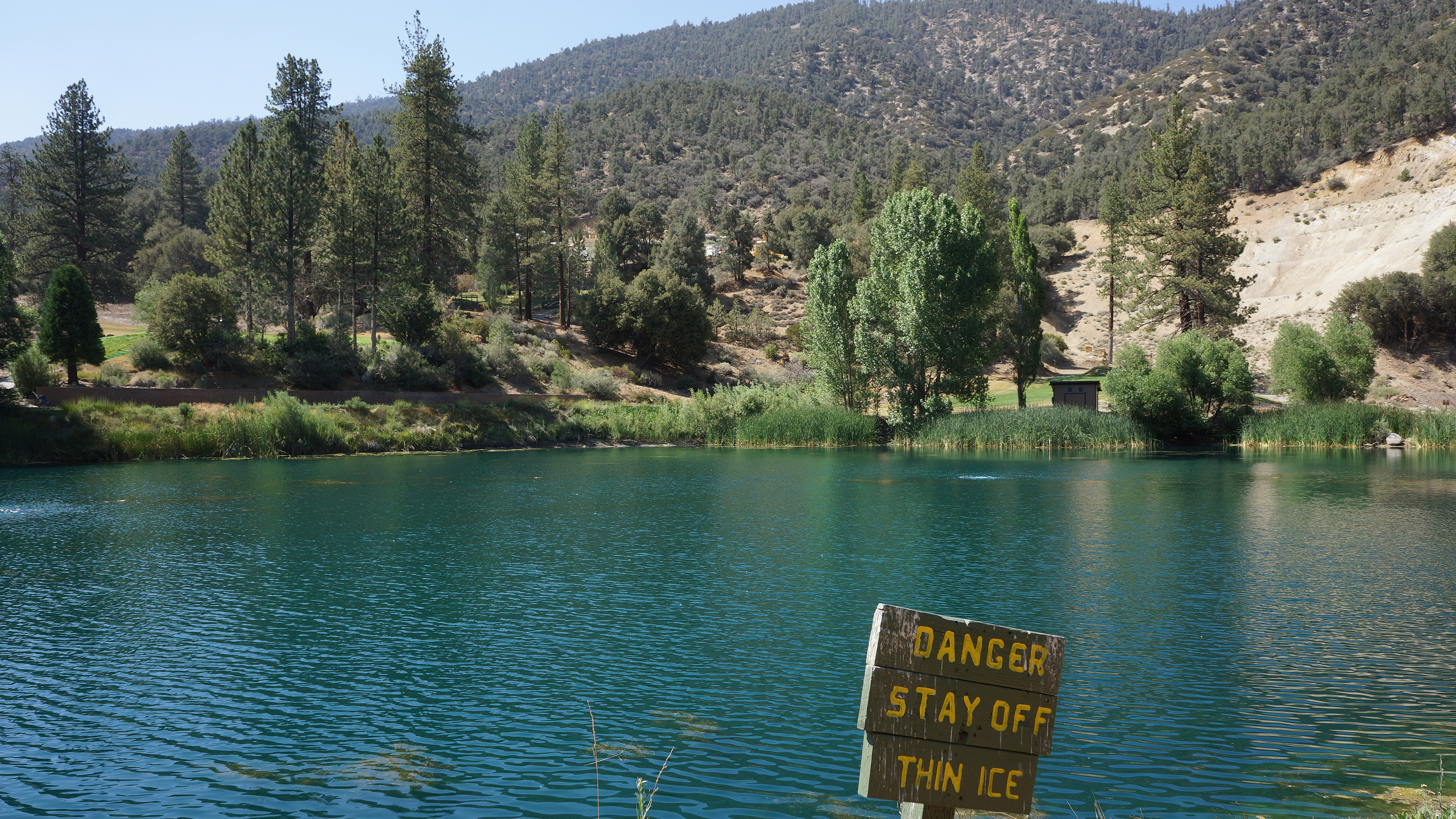
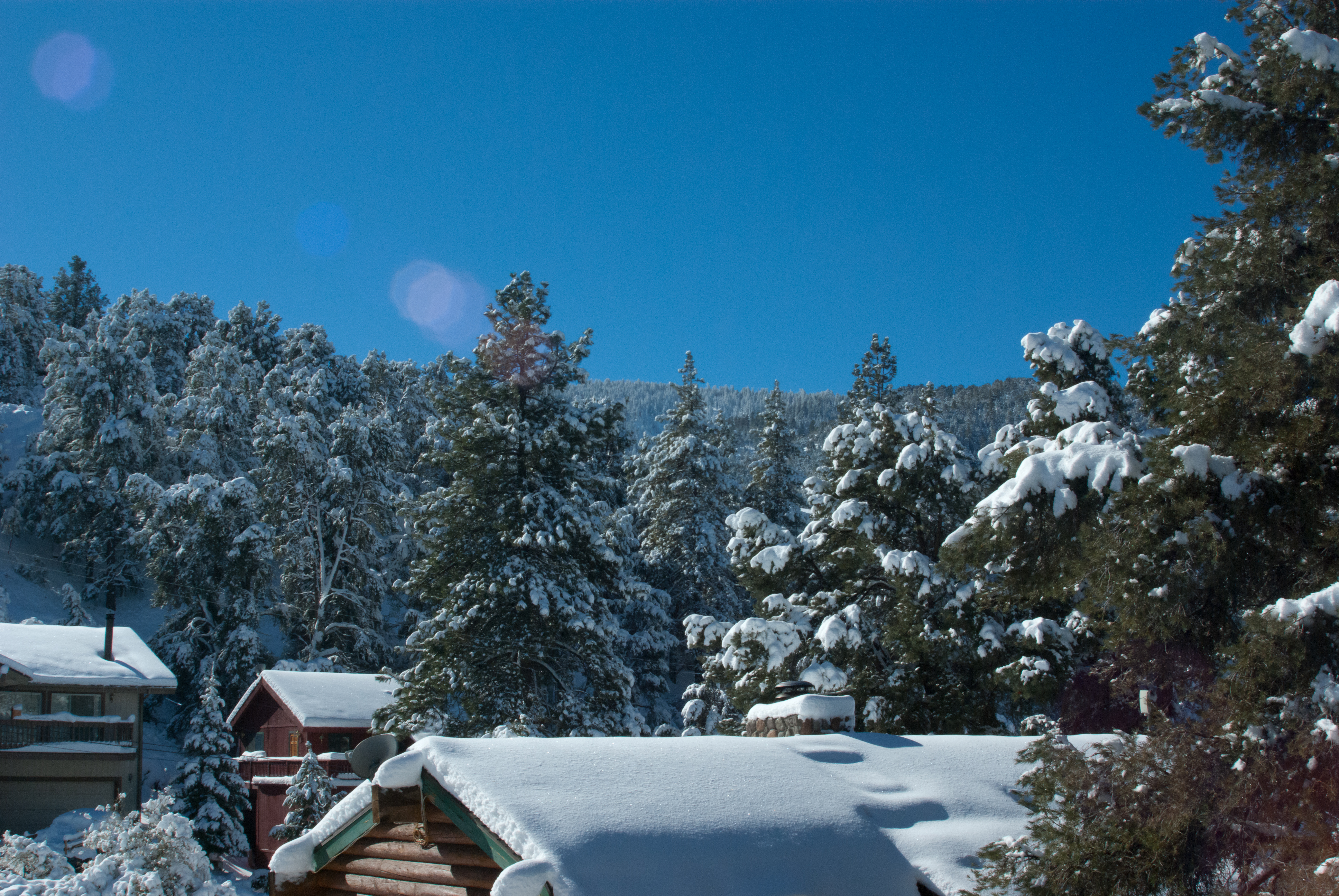
No ice today
Topographic Map of Lassen Way, Pine Mountain Club, CA, USA
Find elevation by address:

Places near Lassen Way, Pine Mountain Club, CA, USA:
1709 Lassen Way
1505 Bernina Dr
1913 Navajo Ct
1809 Freeman Dr
1821 Bernina Dr
1324 Banff Dr
1513 Banff Dr
1421 Banff Dr
Pine Mountain Club
16009 Zurich Way
2222 Bernina Dr
1200 Woodland Dr
15432 Shasta Way
15421 Shasta Way
16240 Askin Dr
Peak To Peak Realty, Pine Mountain Club Ca
1309 Linden Dr
15524 San Moritz Dr
2524 Brentwood Pl
Pine Mountain Club Real Estate
Recent Searches:
- Elevation of Great Brook Sports, Gold Star Hwy, Groton, CT, USA
- Elevation of 10 Mountain Laurels Dr, Nashua, NH, USA
- Elevation of 16 Gilboa Ln, Nashua, NH, USA
- Elevation of Laurel Rd, Townsend, TN, USA
- Elevation of 3 Nestling Wood Dr, Long Valley, NJ, USA
- Elevation of Ilungu, Tanzania
- Elevation of Yellow Springs Road, Yellow Springs Rd, Chester Springs, PA, USA
- Elevation of Rēzekne Municipality, Latvia
- Elevation of Plikpūrmaļi, Vērēmi Parish, Rēzekne Municipality, LV-, Latvia
- Elevation of 2 Henschke Ct, Caboolture QLD, Australia