Elevation of Peak to Peak Realty, Pine Mountain Club Ca, Askin Dr unit d, Pine Mountain Club, CA, USA
Location: United States > California > Kern County > Pine Mountain Club >
Longitude: -119.16547
Latitude: 34.8501337
Elevation: 1661m / 5449feet
Barometric Pressure: 83KPa
Elevation Map:
Satellite Map:
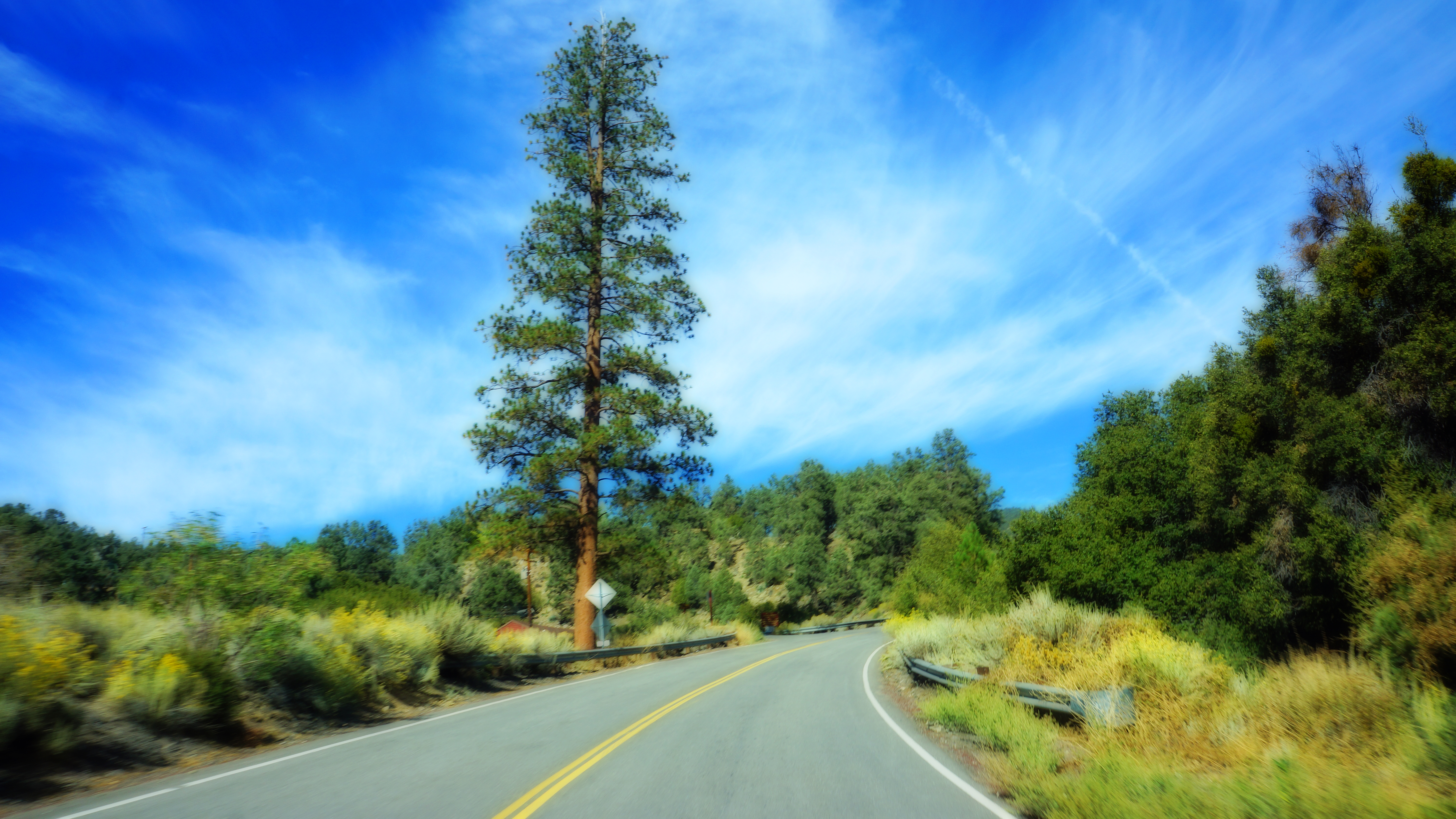
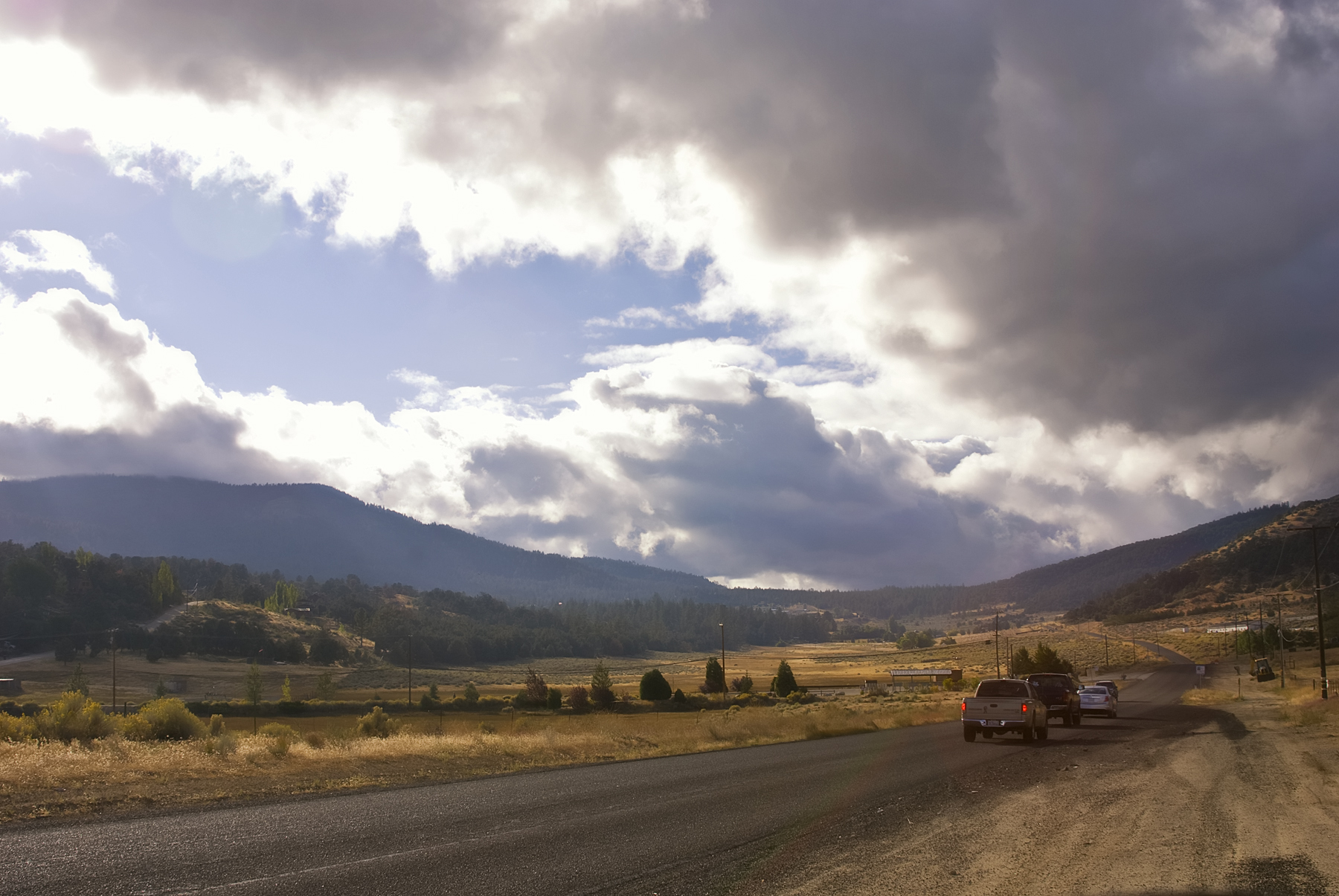
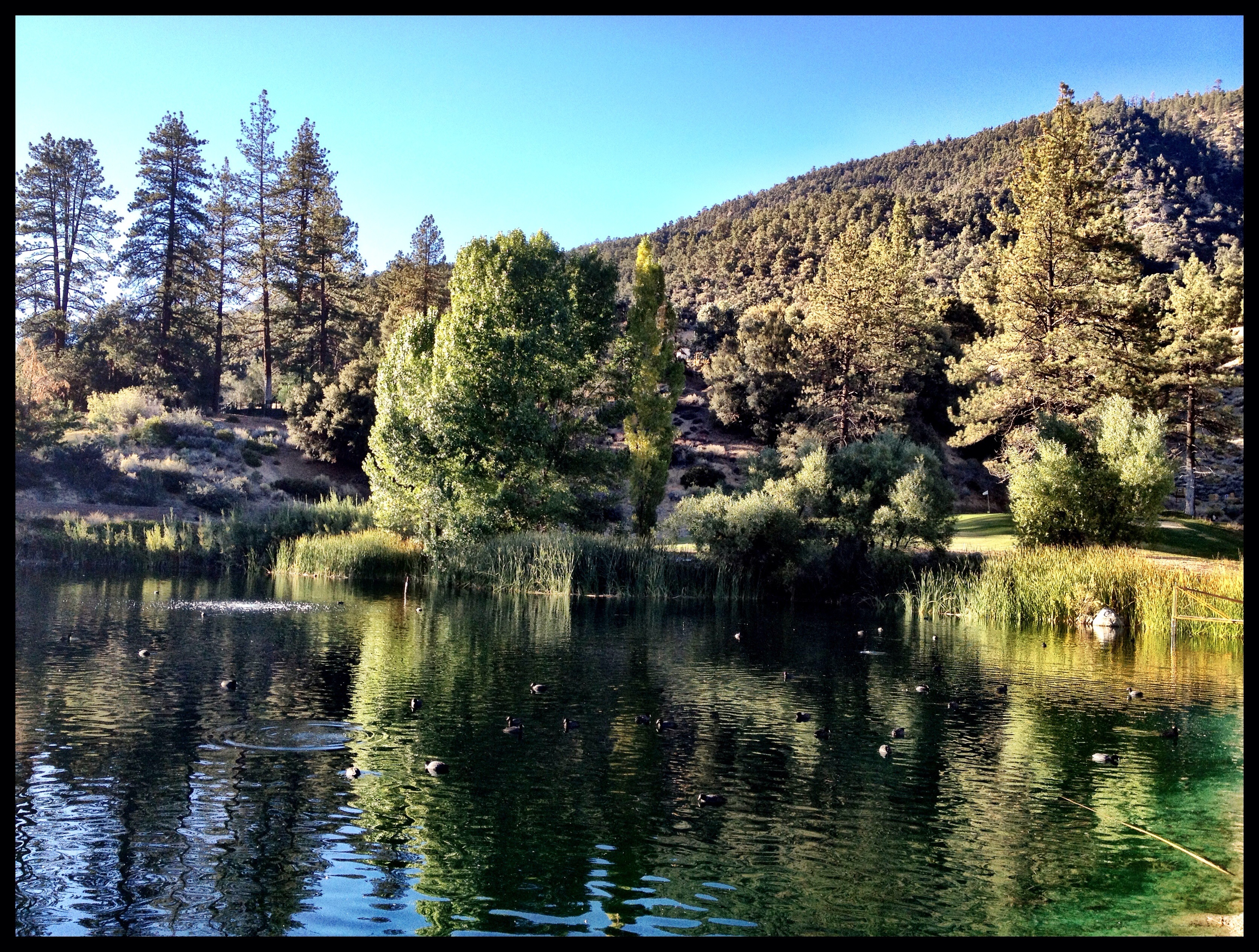
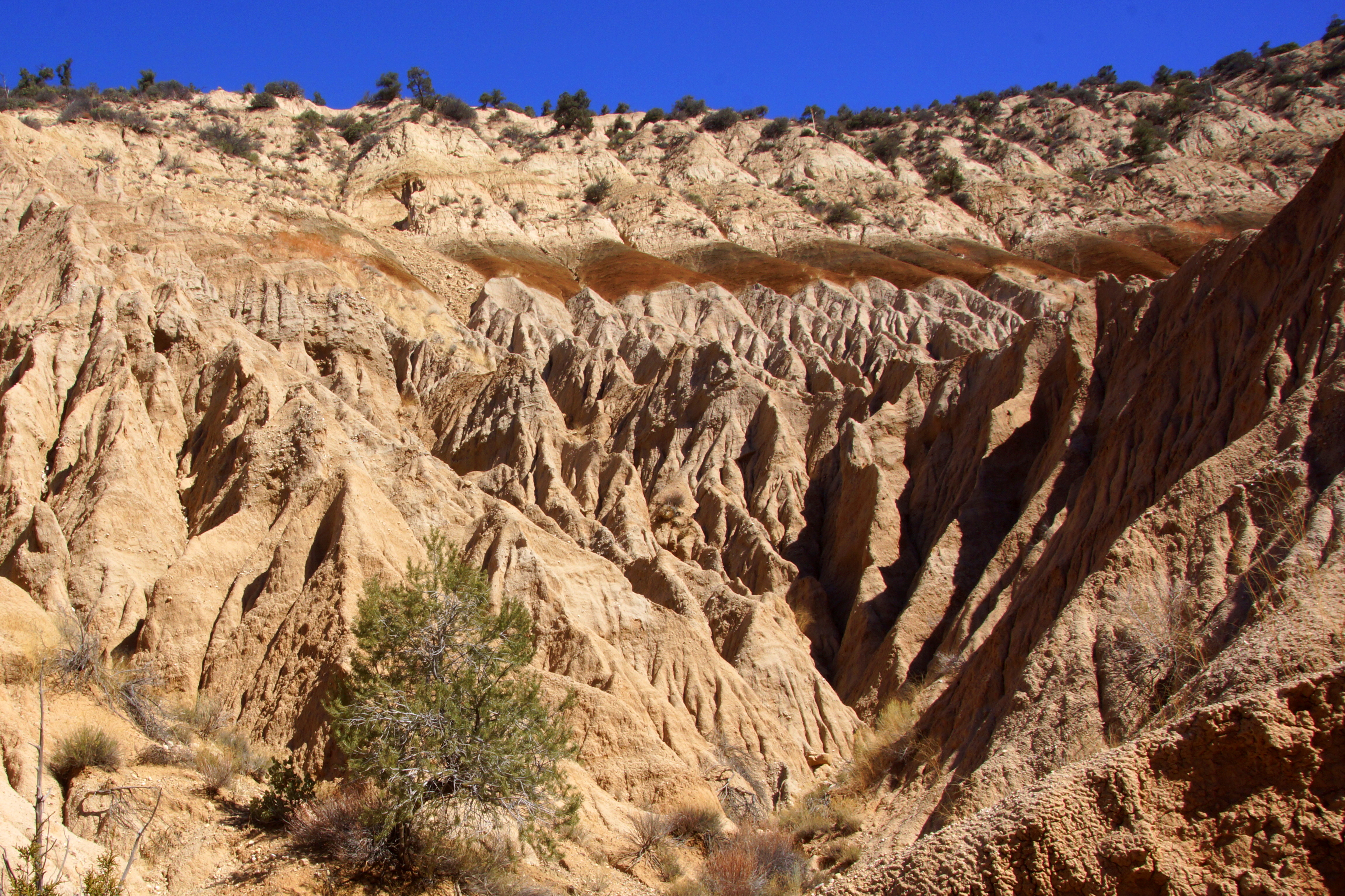
Related Photos:
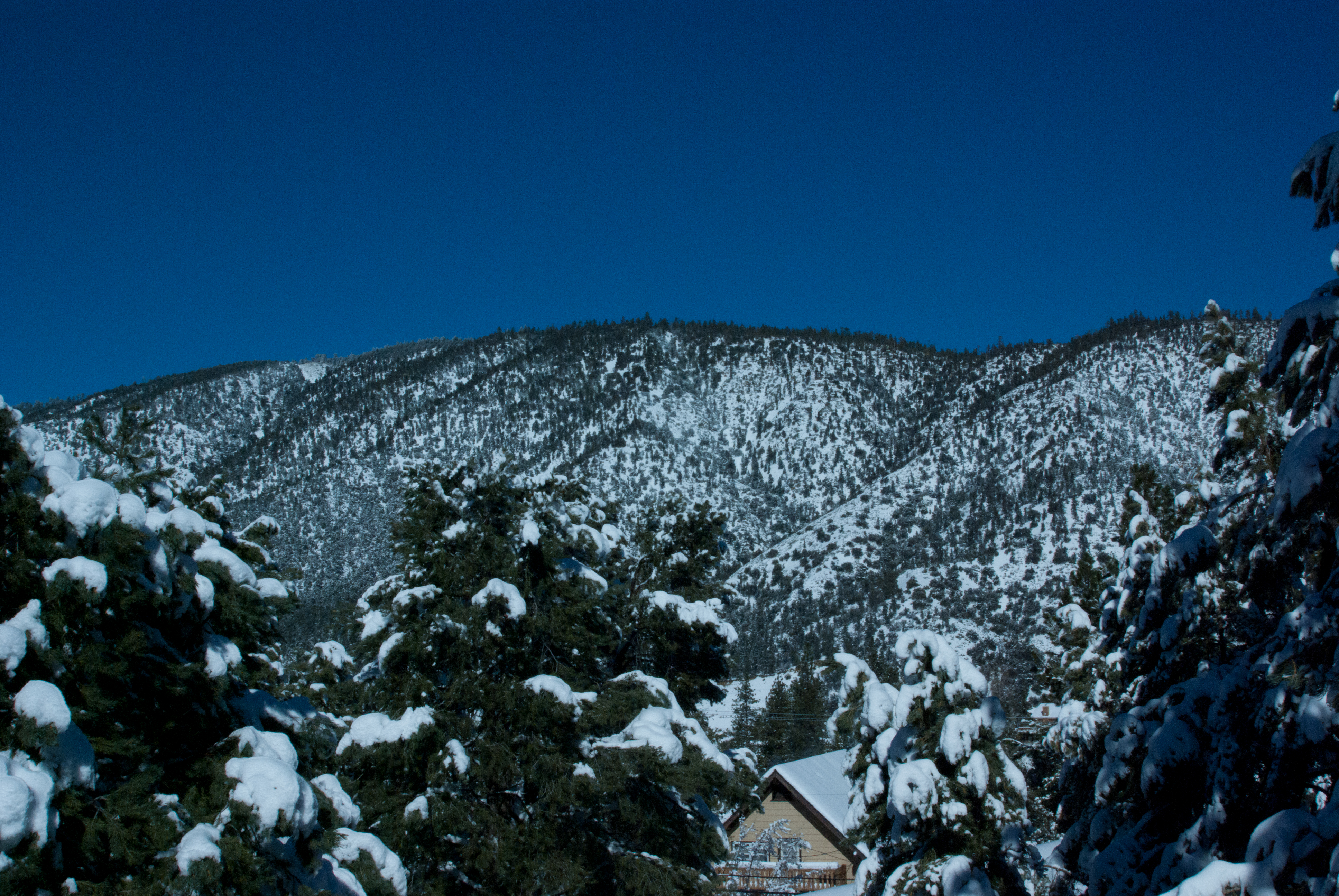
Tejon Pass, Southern California Winter
Mount Pinos
View from Mount Pinos 1
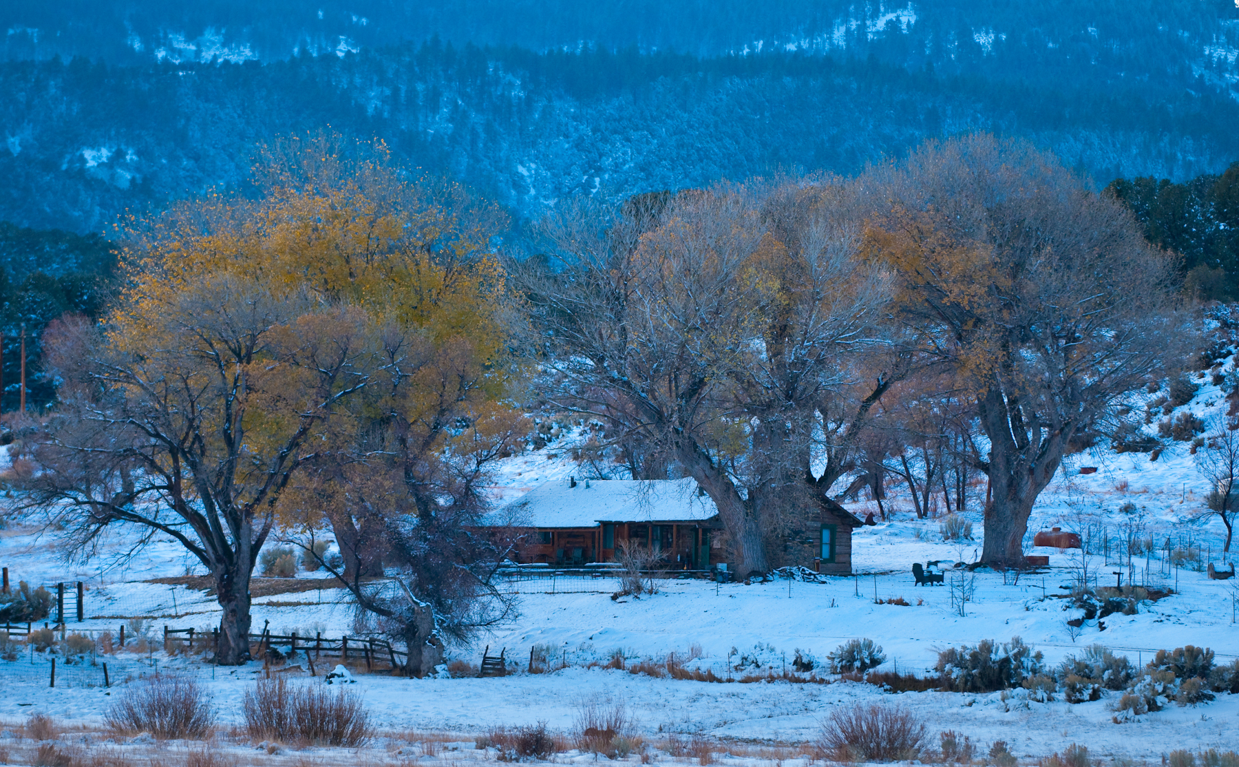
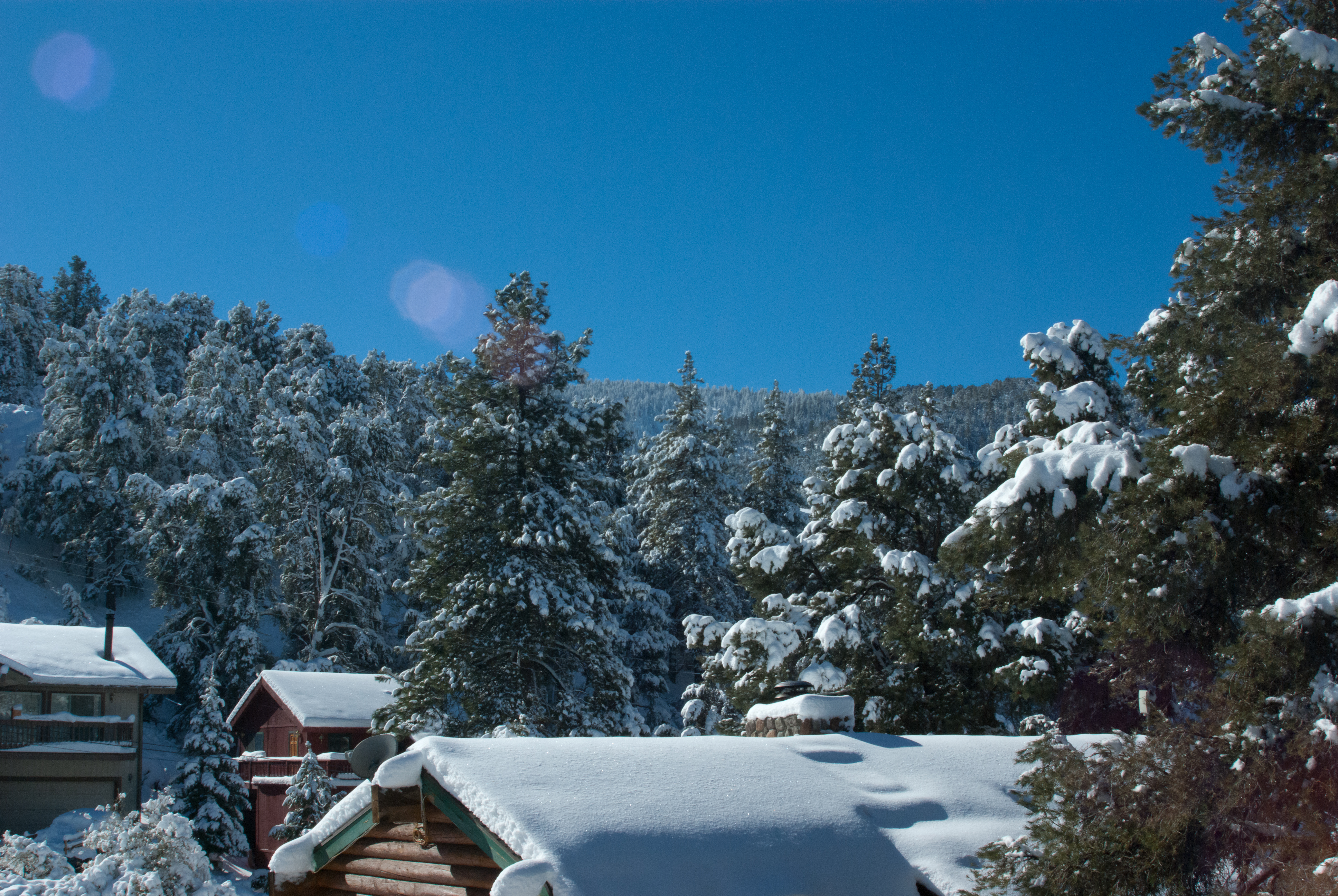
View from the deck
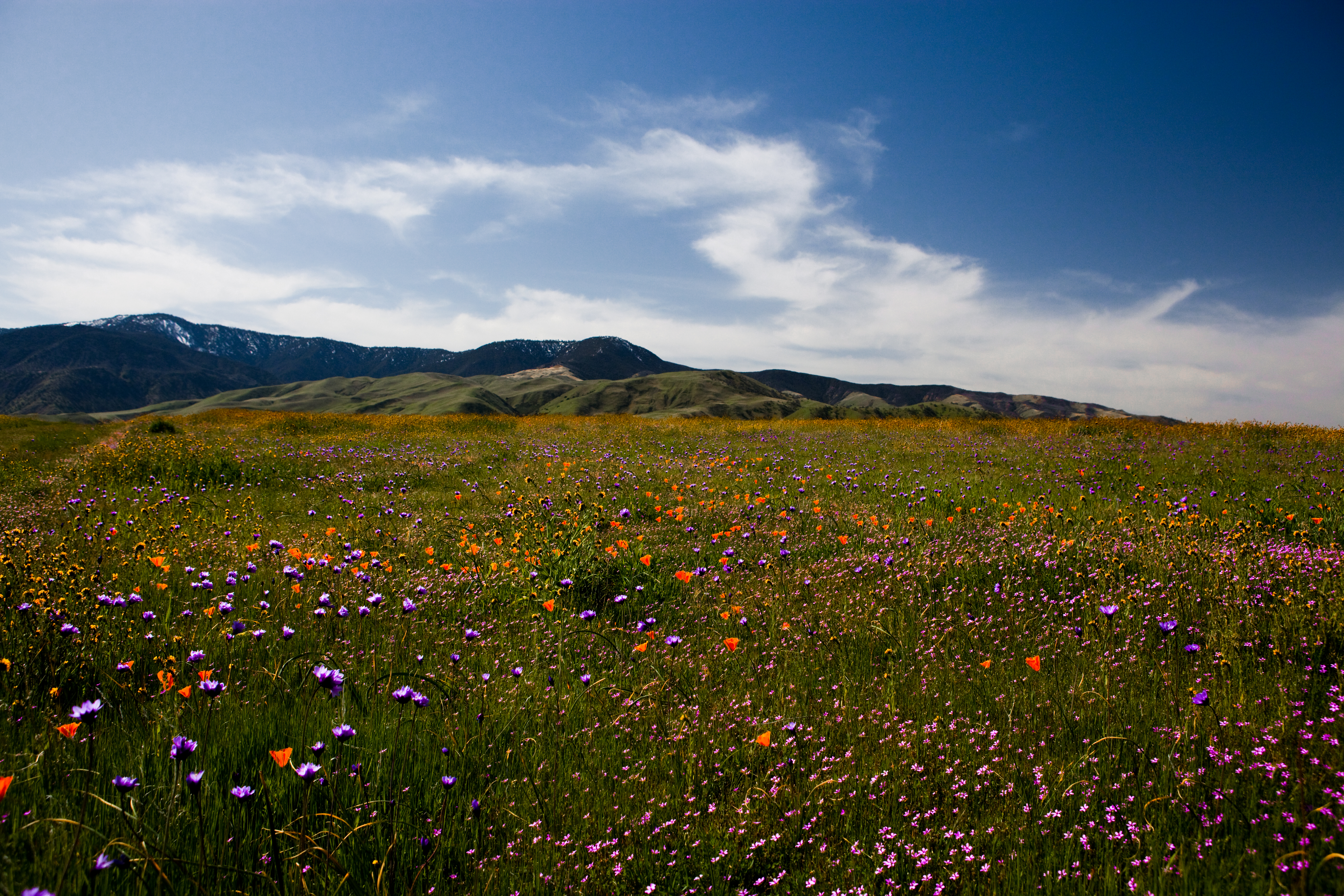
Wild Flowers

Mt. Pinos - X-Country Skiing - 3/23/08 - DSCF0606.JPG
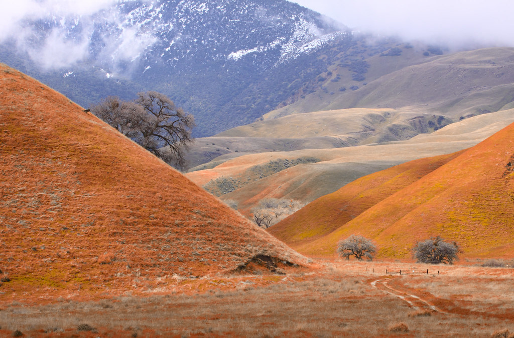
Wind Wolves Preserve
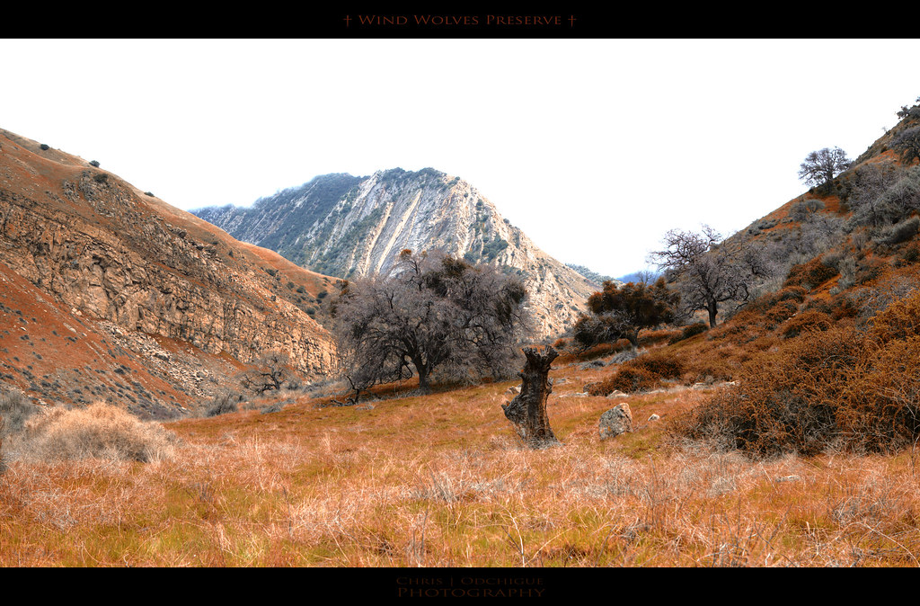
Wind Wolves Preserve
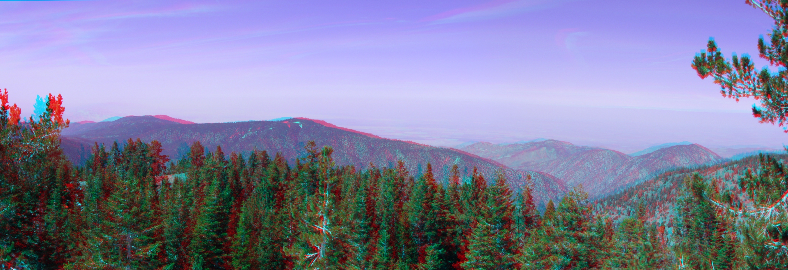
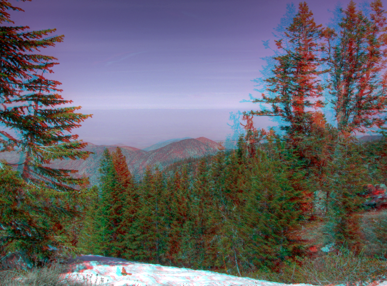
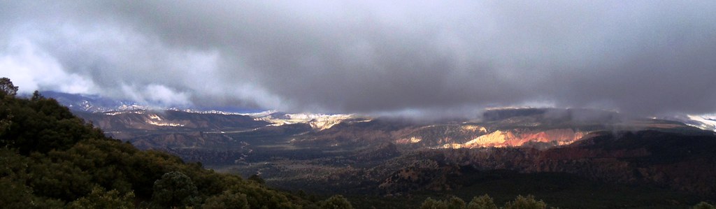
View North from the Summit Pan 3d
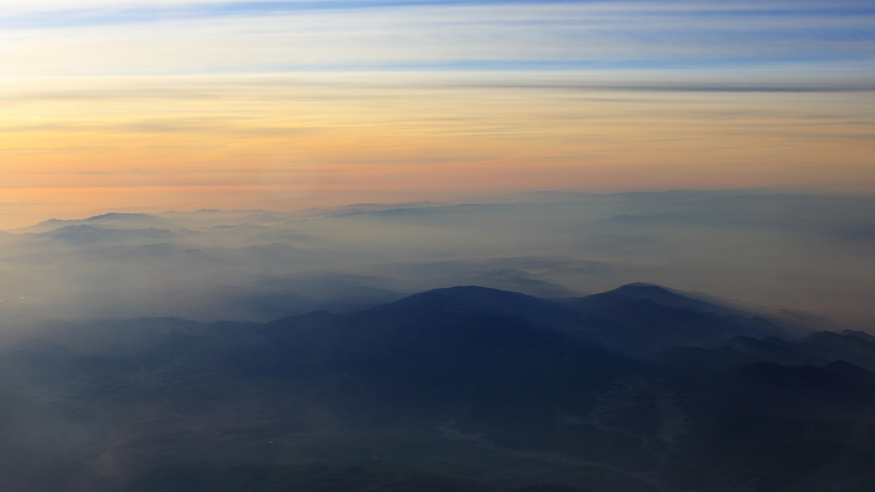
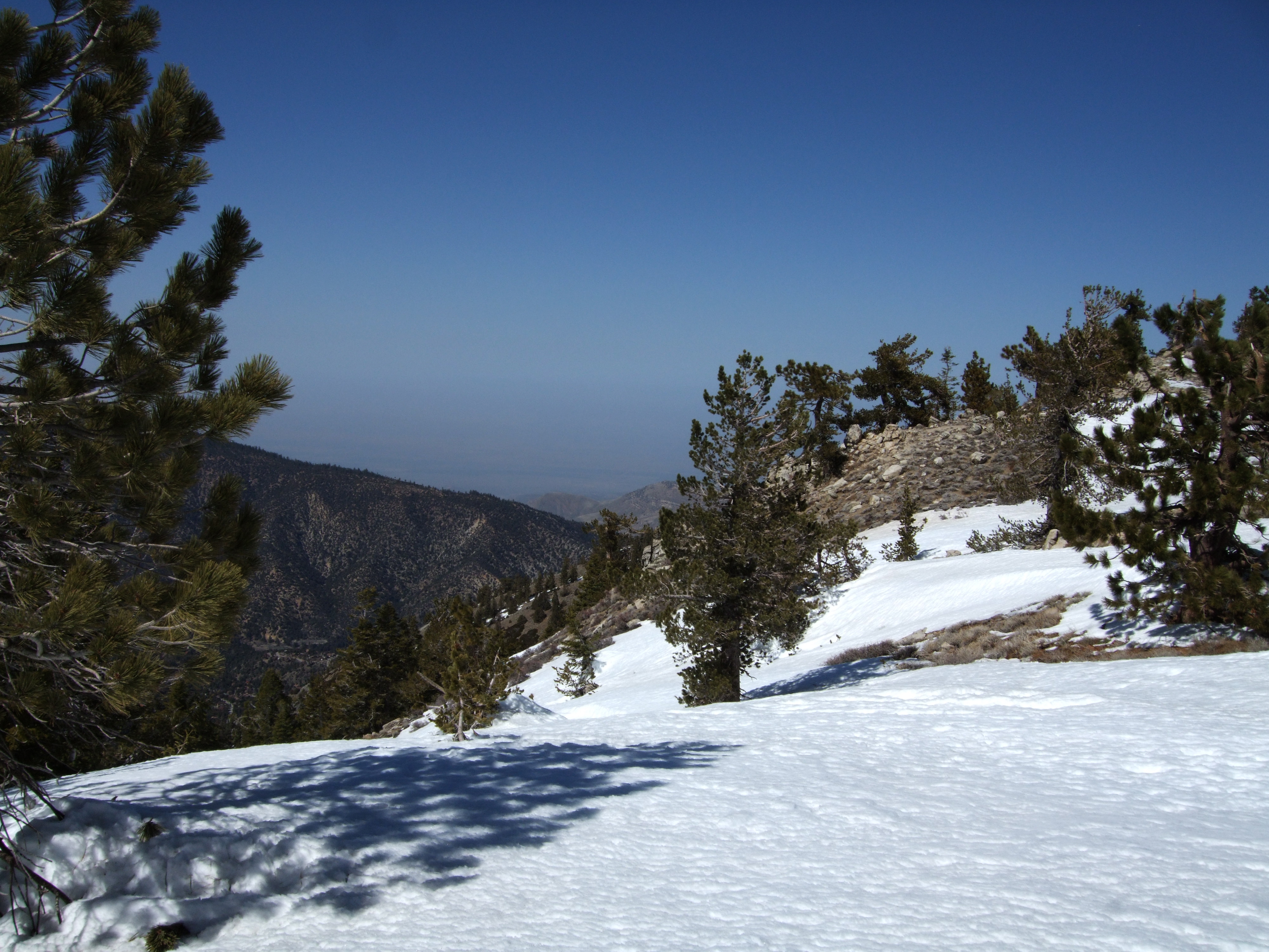
Southwest view
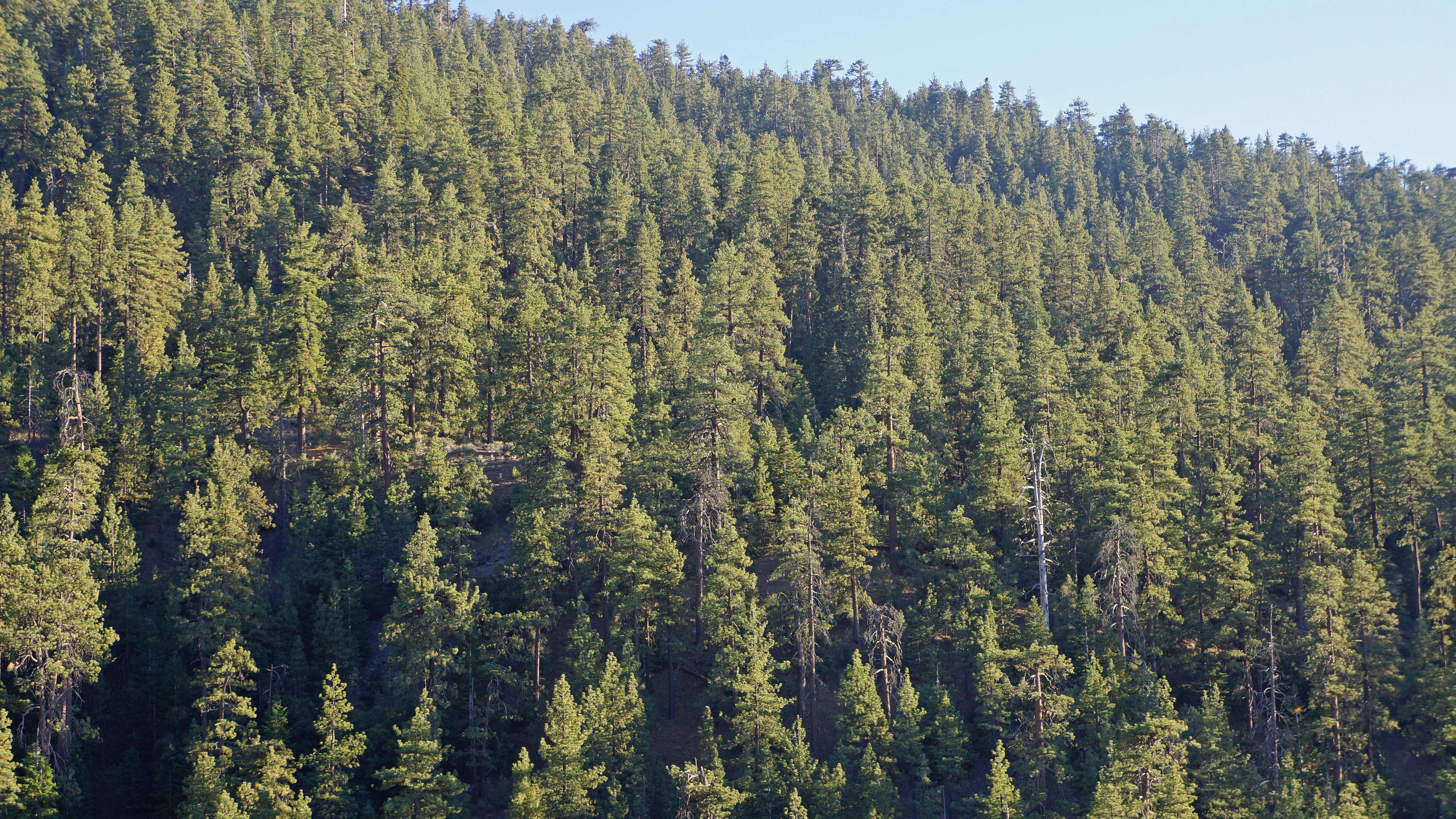
Forest Views
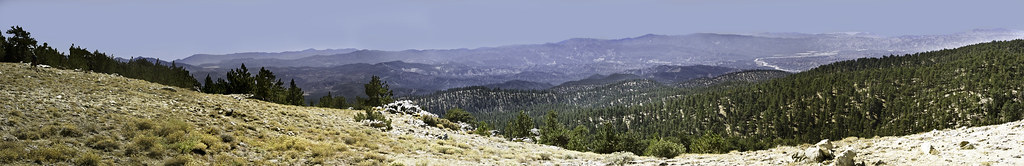
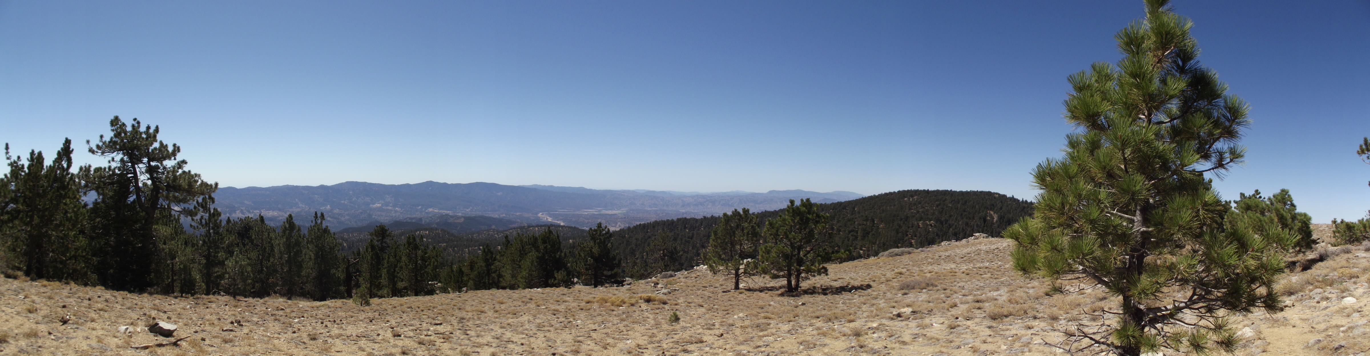
Mt. Pinos (Panoramic)
The view from our campsite
View NNE from the Summit HDR 3d
Mt. Pinos - X-Country Skiing - 3/23/08 - DSCF0590.JPG
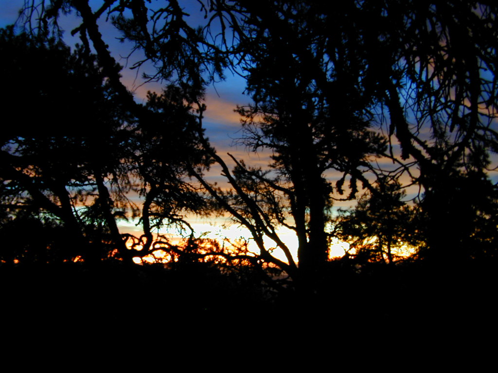
Colors thru the Trees
Mt. Pinos - X-Country Skiing - 3/23/08 - DSCF0604.JPG
Mt. Pinos - X-Country Skiing - 3/23/08 - DSCF0616.JPG
Mt. Pinos - X-Country Skiing - 3/23/08 - DSCF0588.JPG
Mt. Pinos - X-Country Skiing - 3/23/08 - DSCF0587.JPG
Looking SSE from Cerro Noroests Rd.(2) - hdr hyper cross view 3d

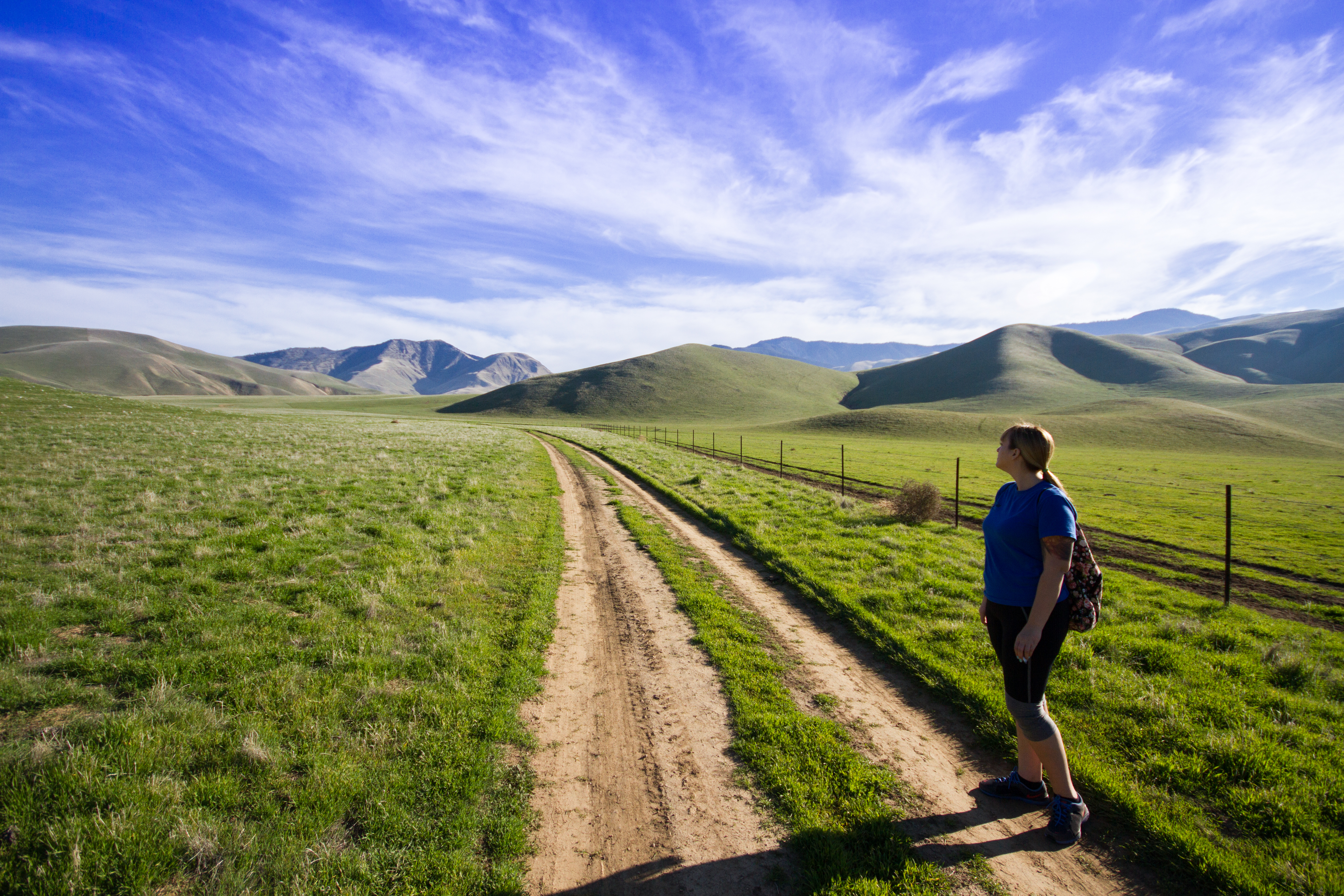
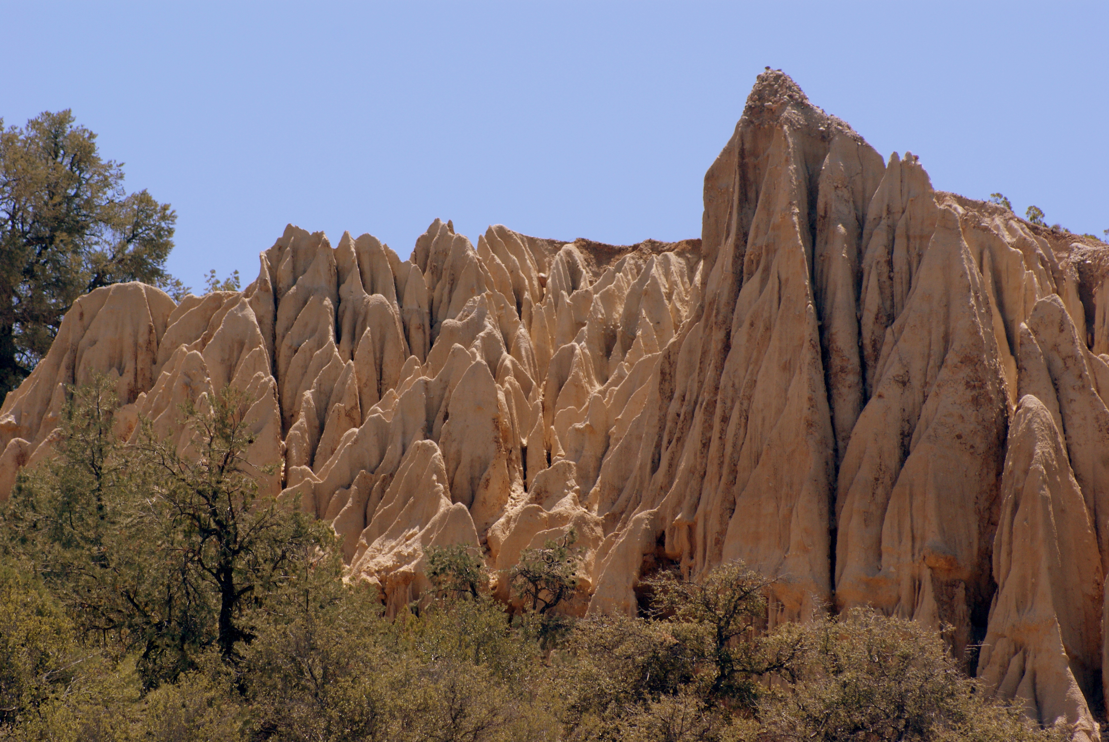
The Path To The Valley (p)

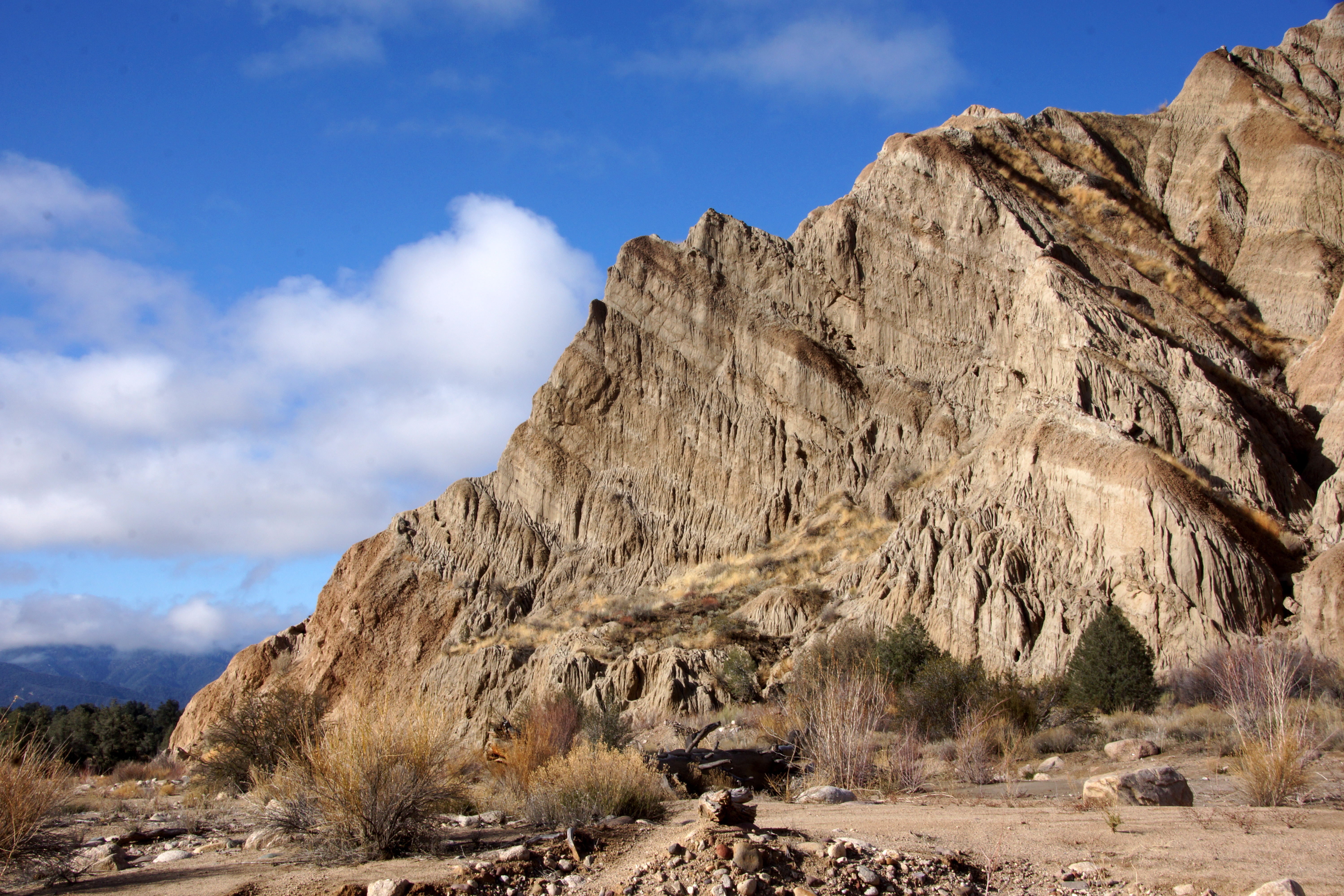
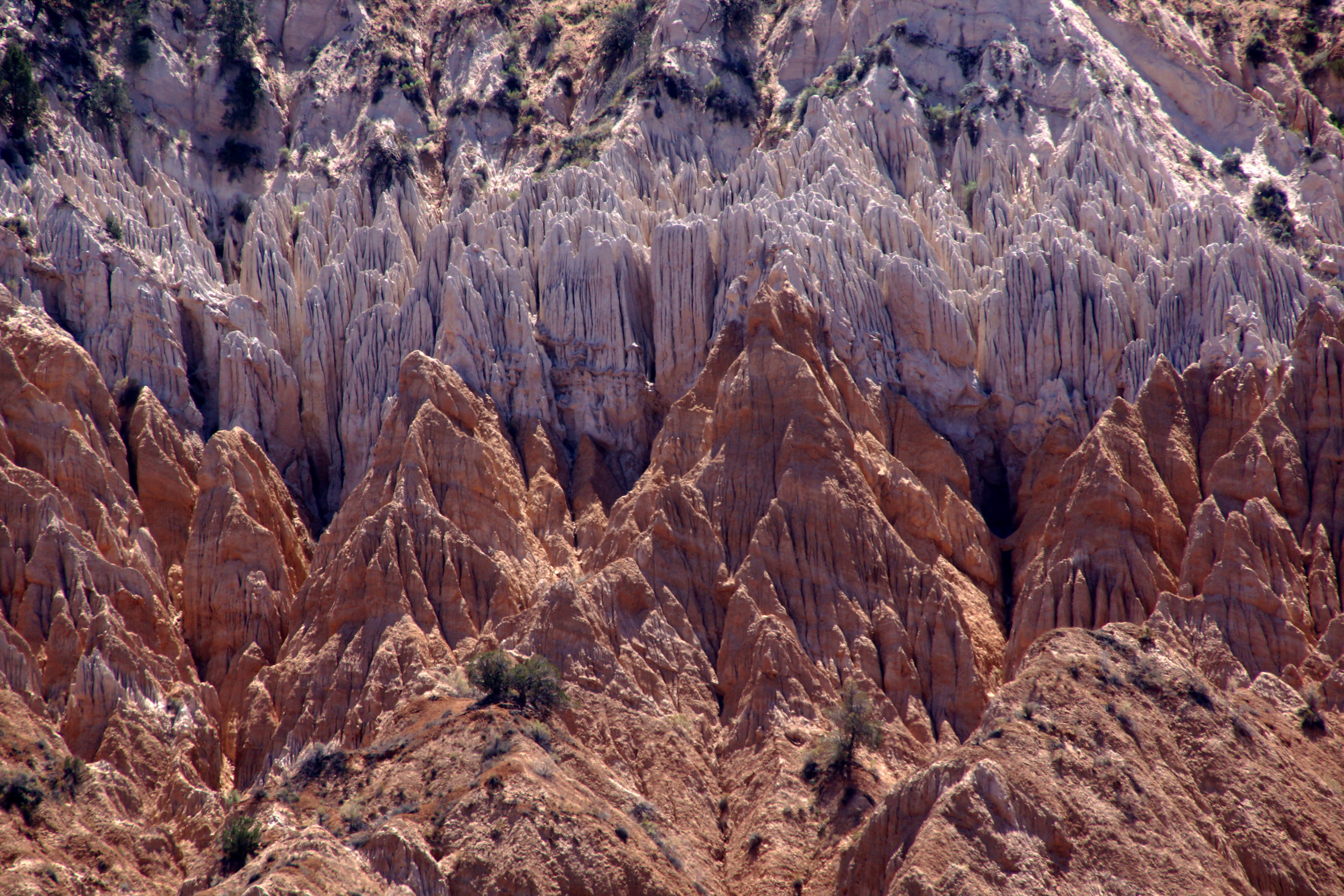
Upheaval (p)

DSC_6501-HDR.jpg

Desert flowers 2016
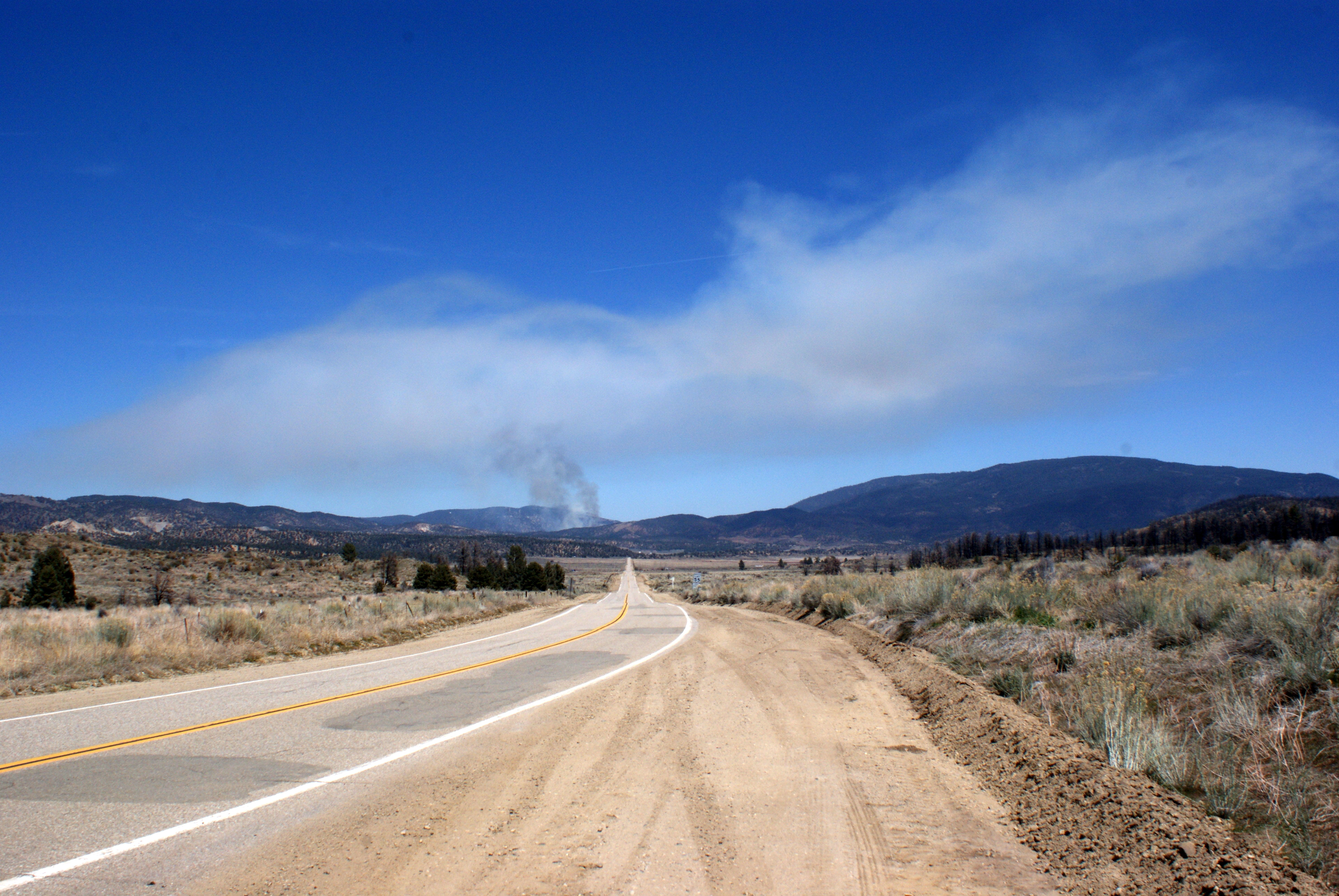
looking forward
0325-082345b

Drainage Path (p)
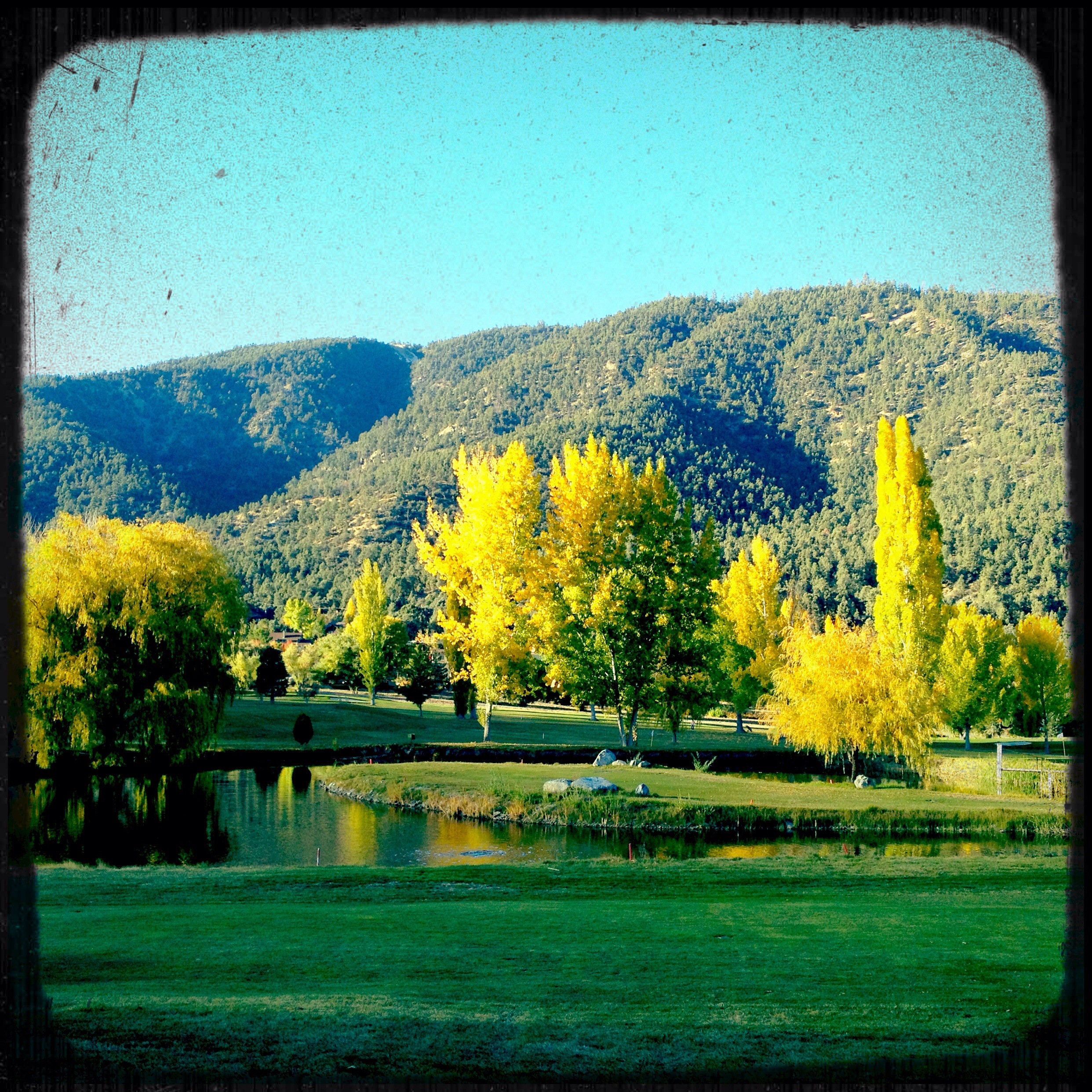
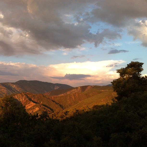
Fall setting in
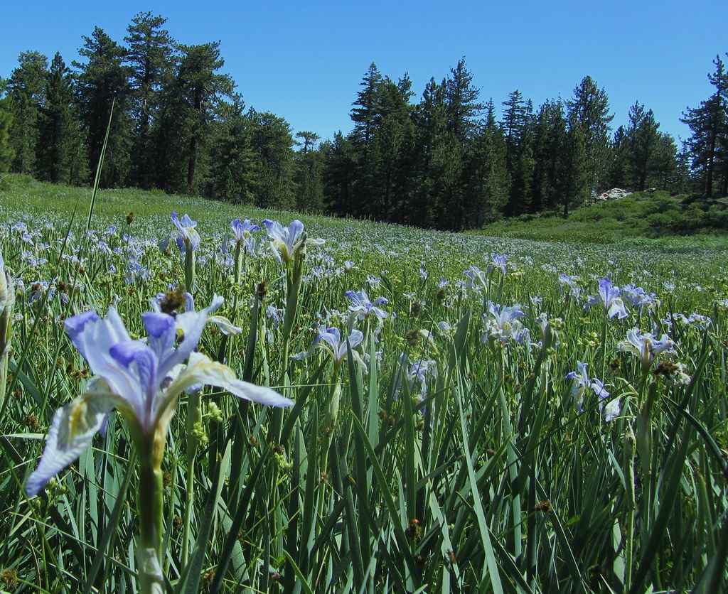
High Mountain Meadow Filled With Western Blue Flag
Taken Back
Before the Rains
Fall on the water
0325-095110
0419-114633
SONY DSC
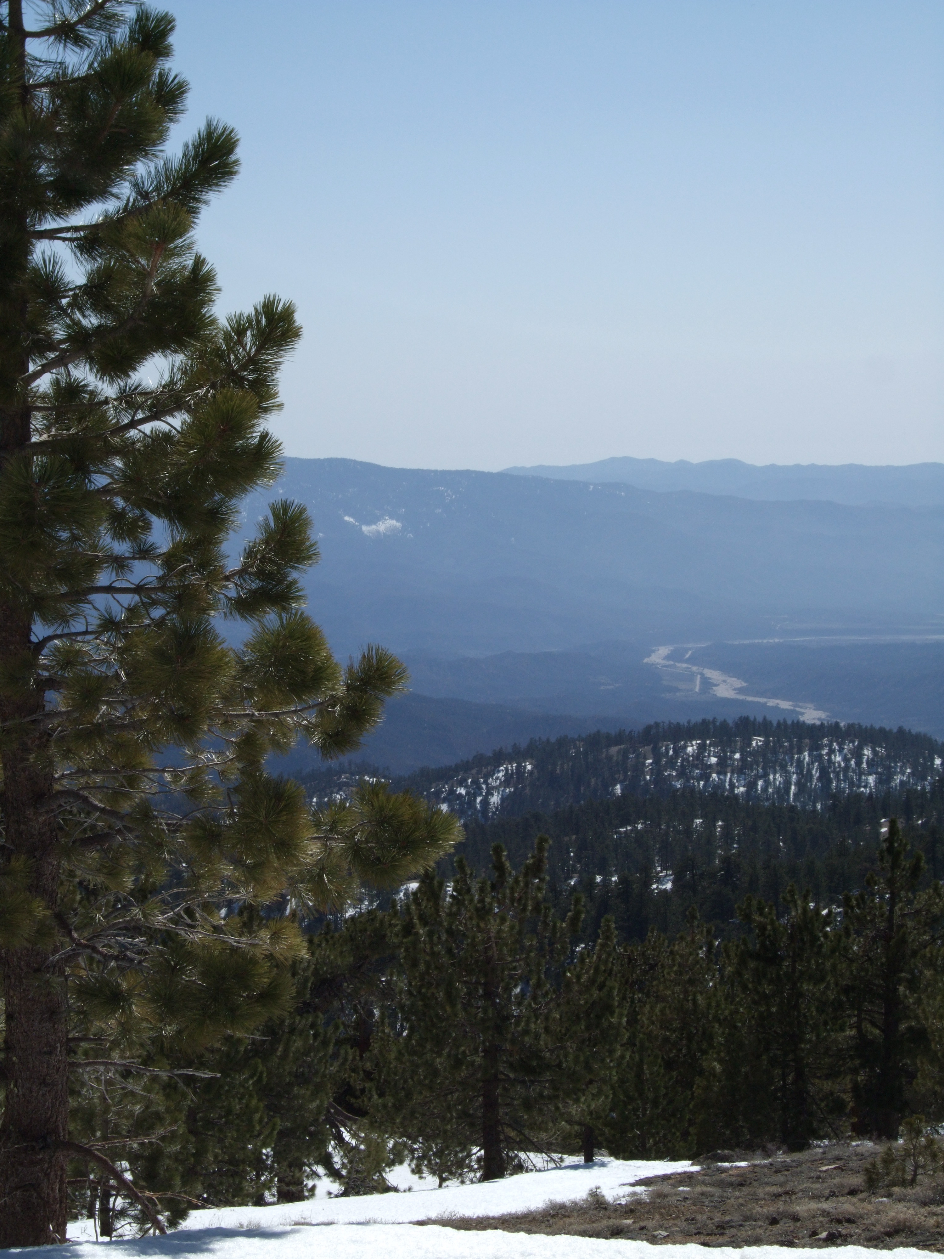
Cuyama River Valley

L7250008.NEF

Mt Pinos-Sheep Camp 2
SONY DSC
Topographic Map of Peak to Peak Realty, Pine Mountain Club Ca, Askin Dr unit d, Pine Mountain Club, CA, USA
Find elevation by address:

Places near Peak to Peak Realty, Pine Mountain Club Ca, Askin Dr unit d, Pine Mountain Club, CA, USA:
Pine Mountain Club Real Estate
16240 Askin Dr
2524 Brentwood Pl
2616 Teakwood Ct
2616 Teakwood Ct
16009 Zurich Way
2222 Bernina Dr
2105 Pinewood Ct
1821 Bernina Dr
1809 Freeman Dr
Pine Mountain Club
1709 Lassen Way
15432 Shasta Way
15524 San Moritz Dr
15421 Shasta Way
1913 Navajo Ct
1513 Banff Dr
1505 Bernina Dr
1421 Banff Dr
1324 Banff Dr
Recent Searches:
- Elevation of 30 Oak Lawn Dr, Barkhamsted, CT, USA
- Elevation of Luther Road, Luther Rd, Auburn, CA, USA
- Elevation of Unnamed Road, Respublika Severnaya Osetiya — Alaniya, Russia
- Elevation of Verkhny Fiagdon, North Ossetia–Alania Republic, Russia
- Elevation of F. Viola Hiway, San Rafael, Bulacan, Philippines
- Elevation of Herbage Dr, Gulfport, MS, USA
- Elevation of Lilac Cir, Haldimand, ON N3W 2G9, Canada
- Elevation of Harrod Branch Road, Harrod Branch Rd, Kentucky, USA
- Elevation of Wyndham Grand Barbados Sam Lords Castle All Inclusive Resort, End of Belair Road, Long Bay, Bridgetown Barbados
- Elevation of Iga Trl, Maggie Valley, NC, USA