Elevation of Reyes Peak, California, USA
Location: United States > California > Maricopa >
Longitude: -119.28150
Latitude: 34.6308192
Elevation: 2285m / 7497feet
Barometric Pressure: 77KPa
Elevation Map:
Satellite Map:
Related Photos:
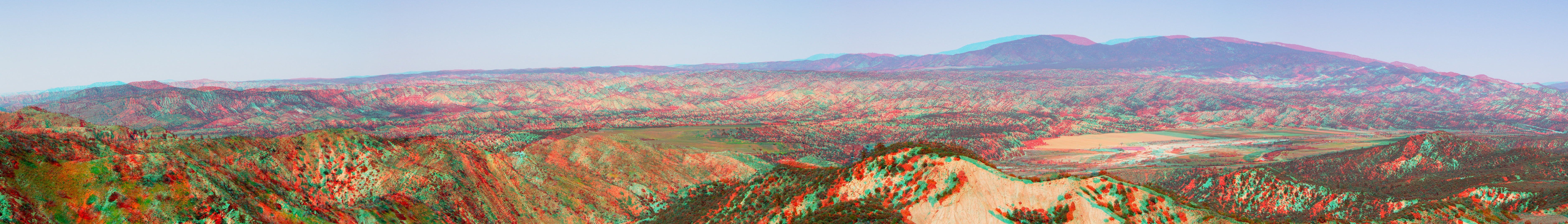
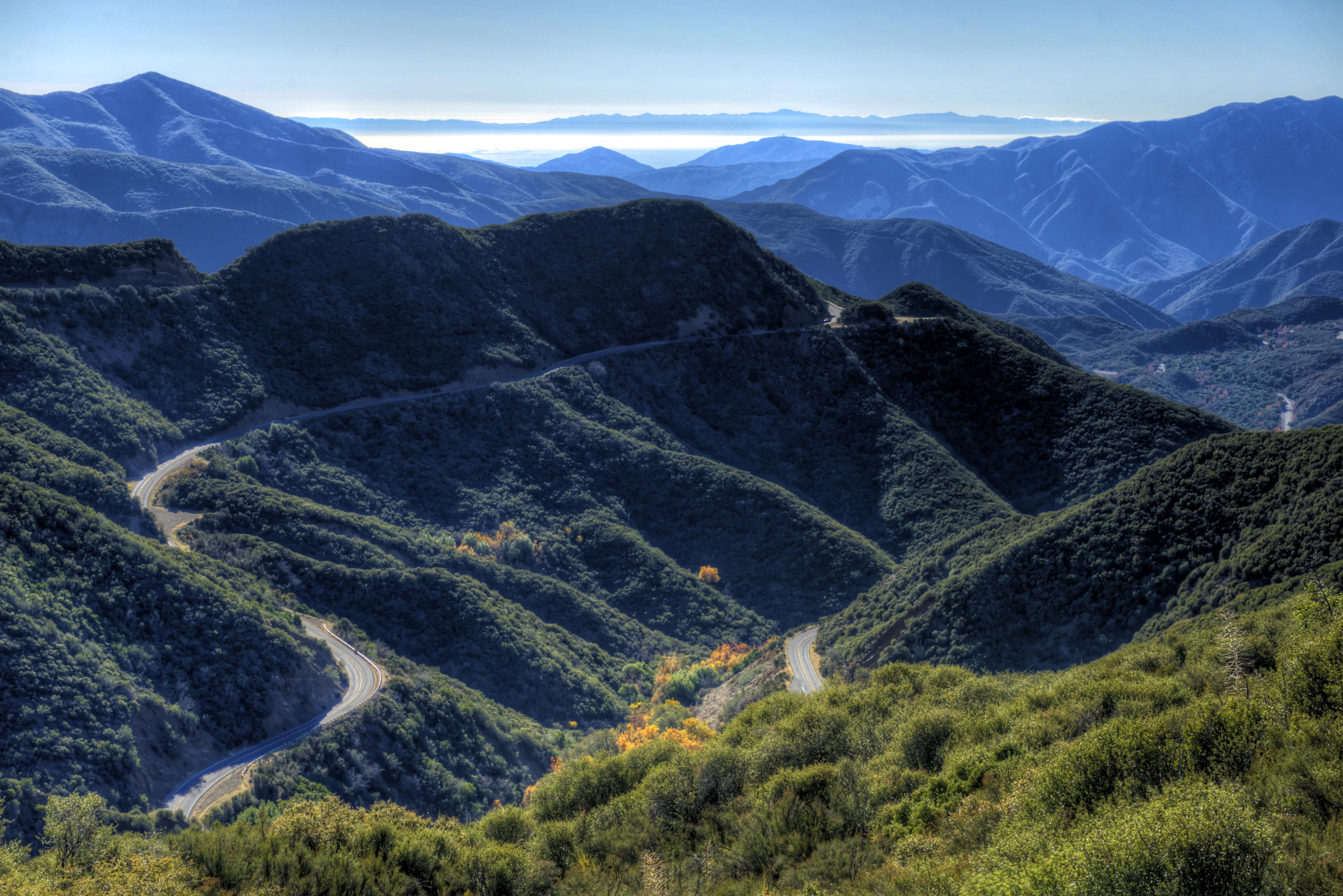
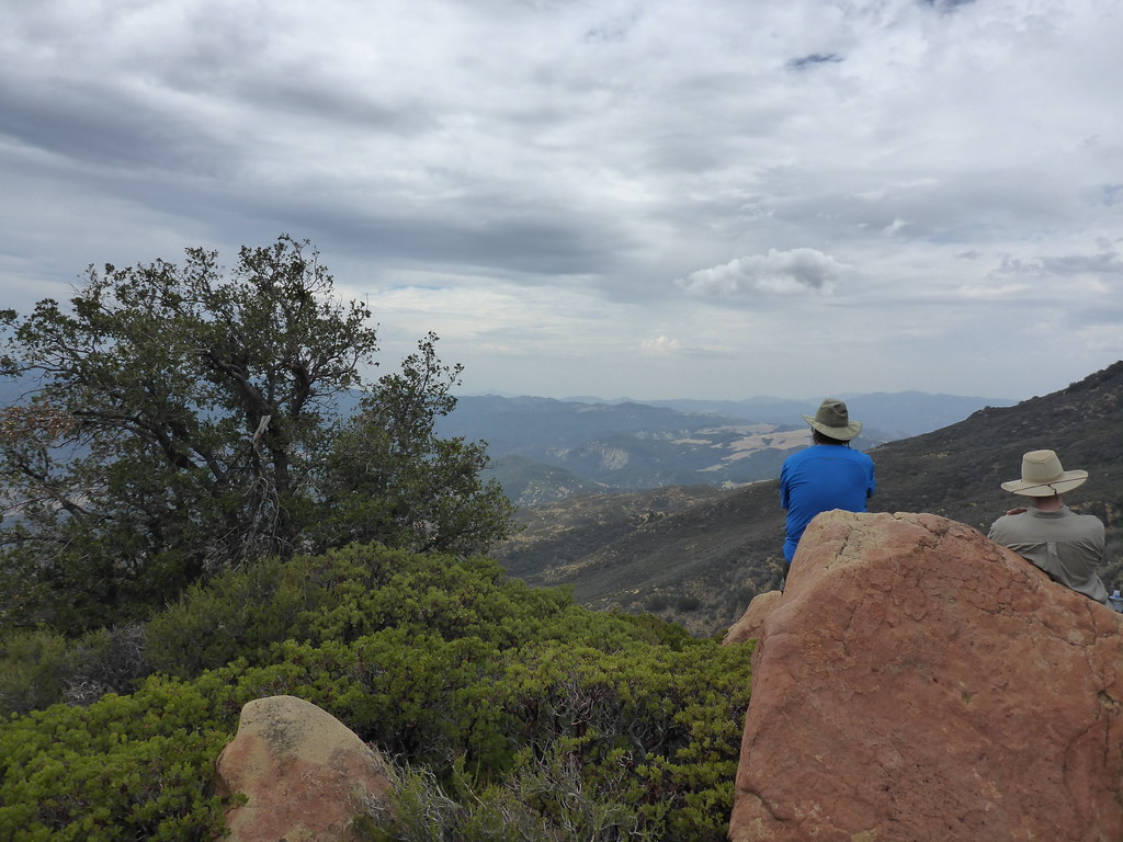
Cuyama Valley broad view panorama hyper 3d
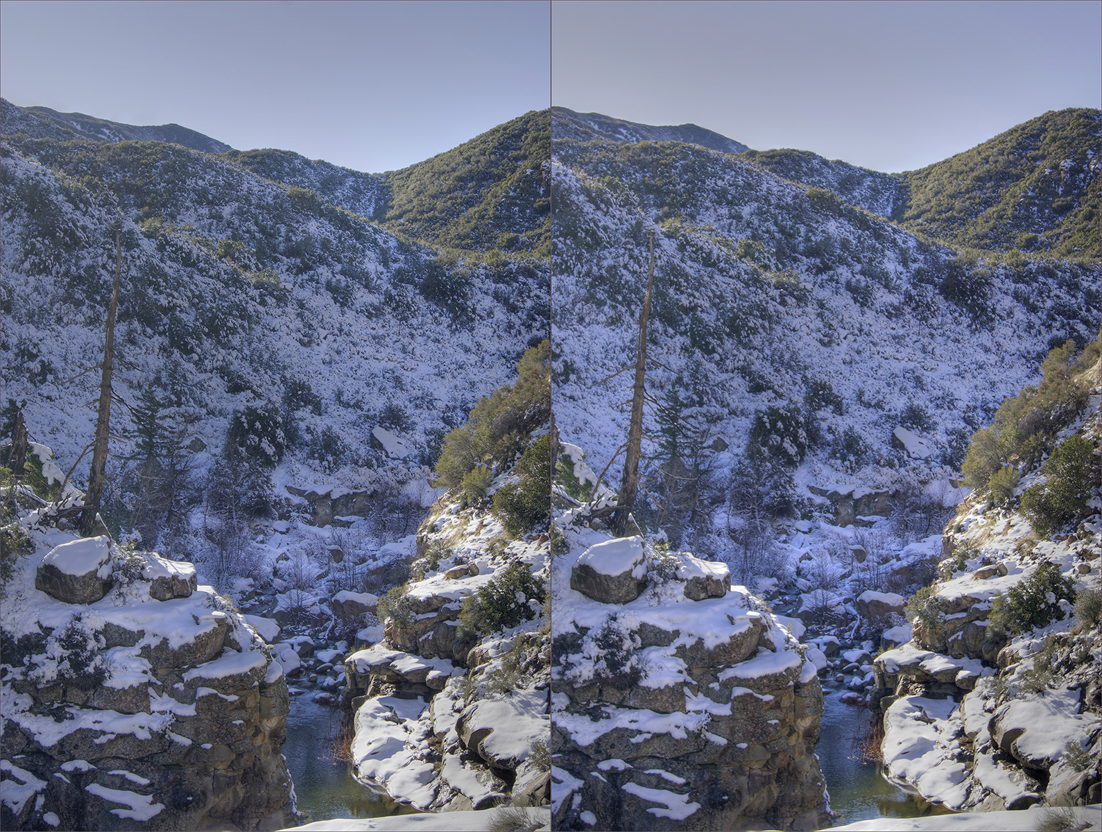
Sespe creek 2 Hi-Res hdr hyper cross view 3d
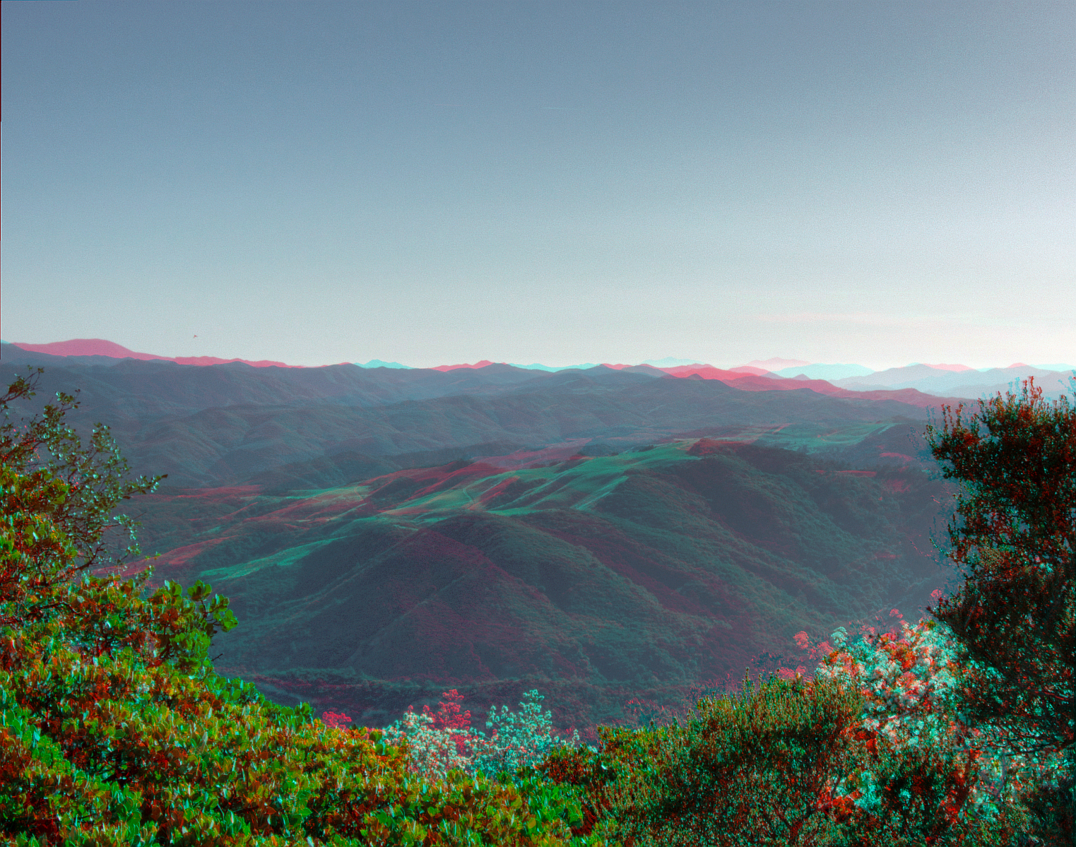
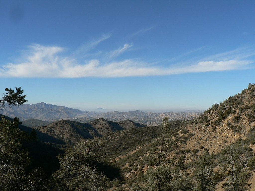
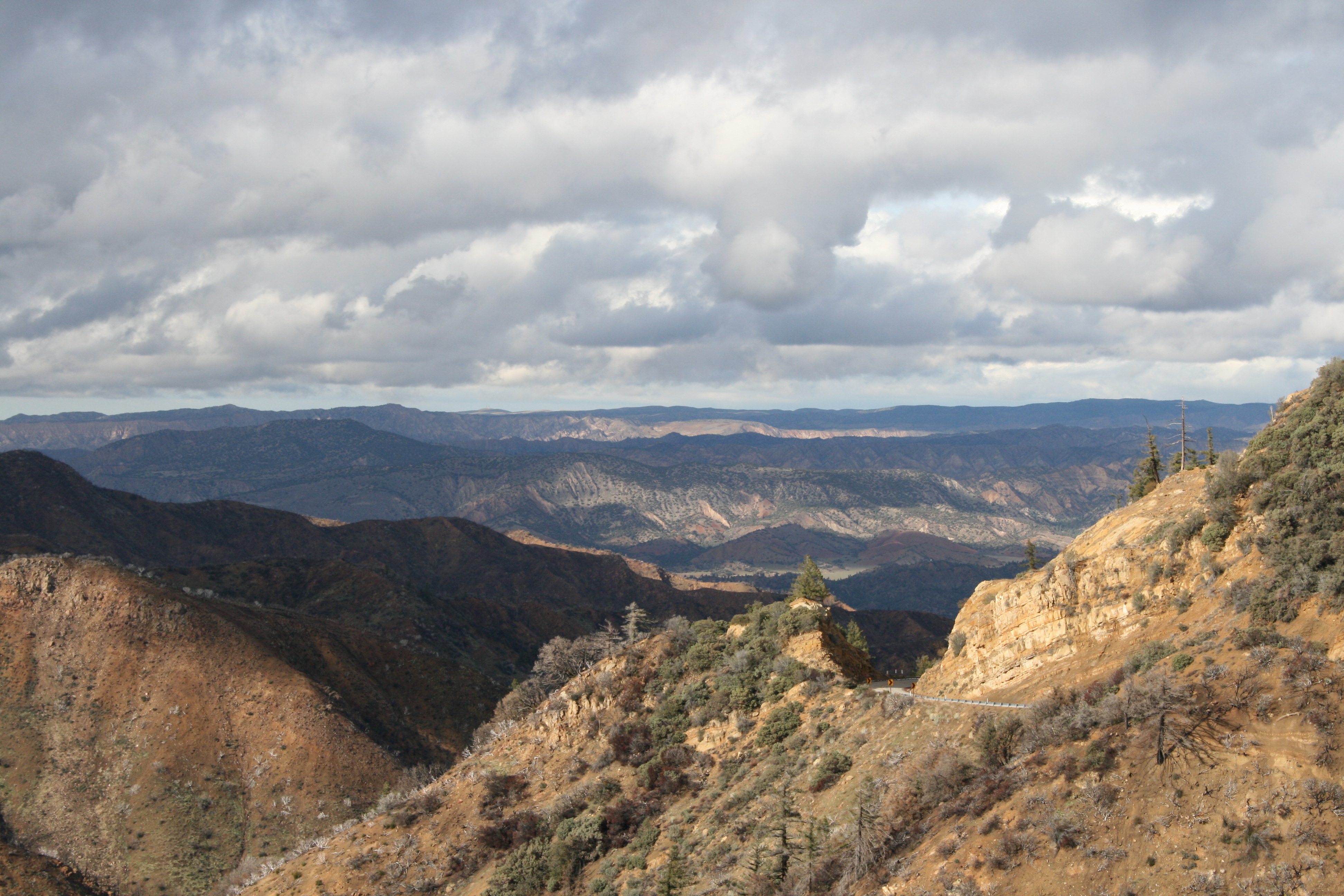
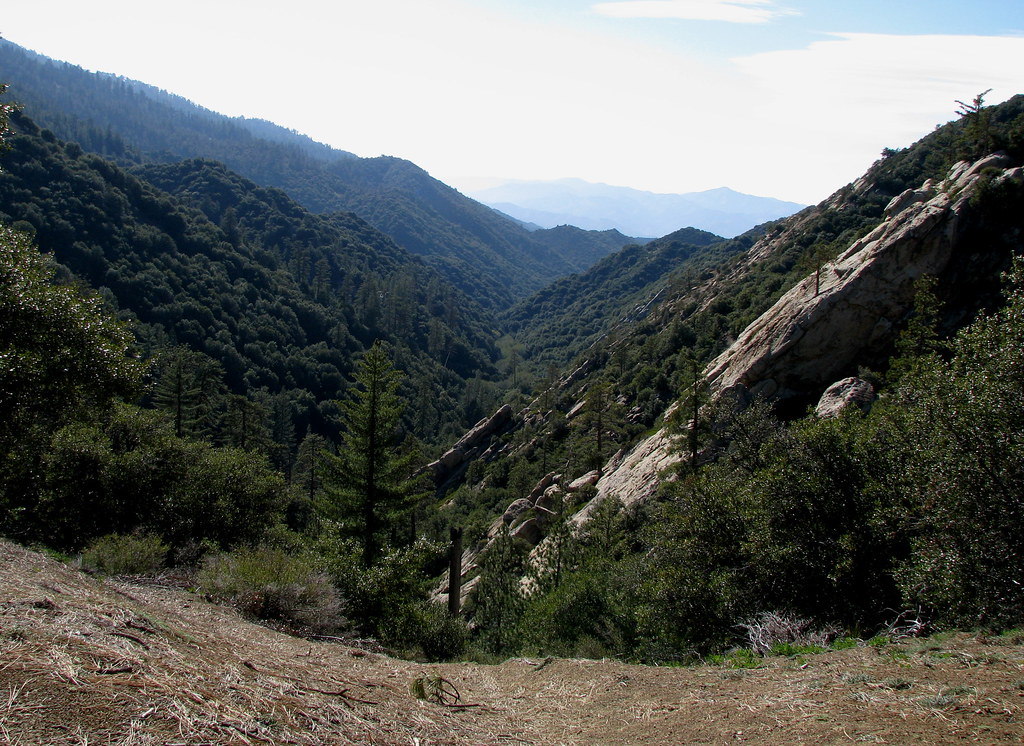
View West from Pine Mountain Ridge Rd. hdr 3d
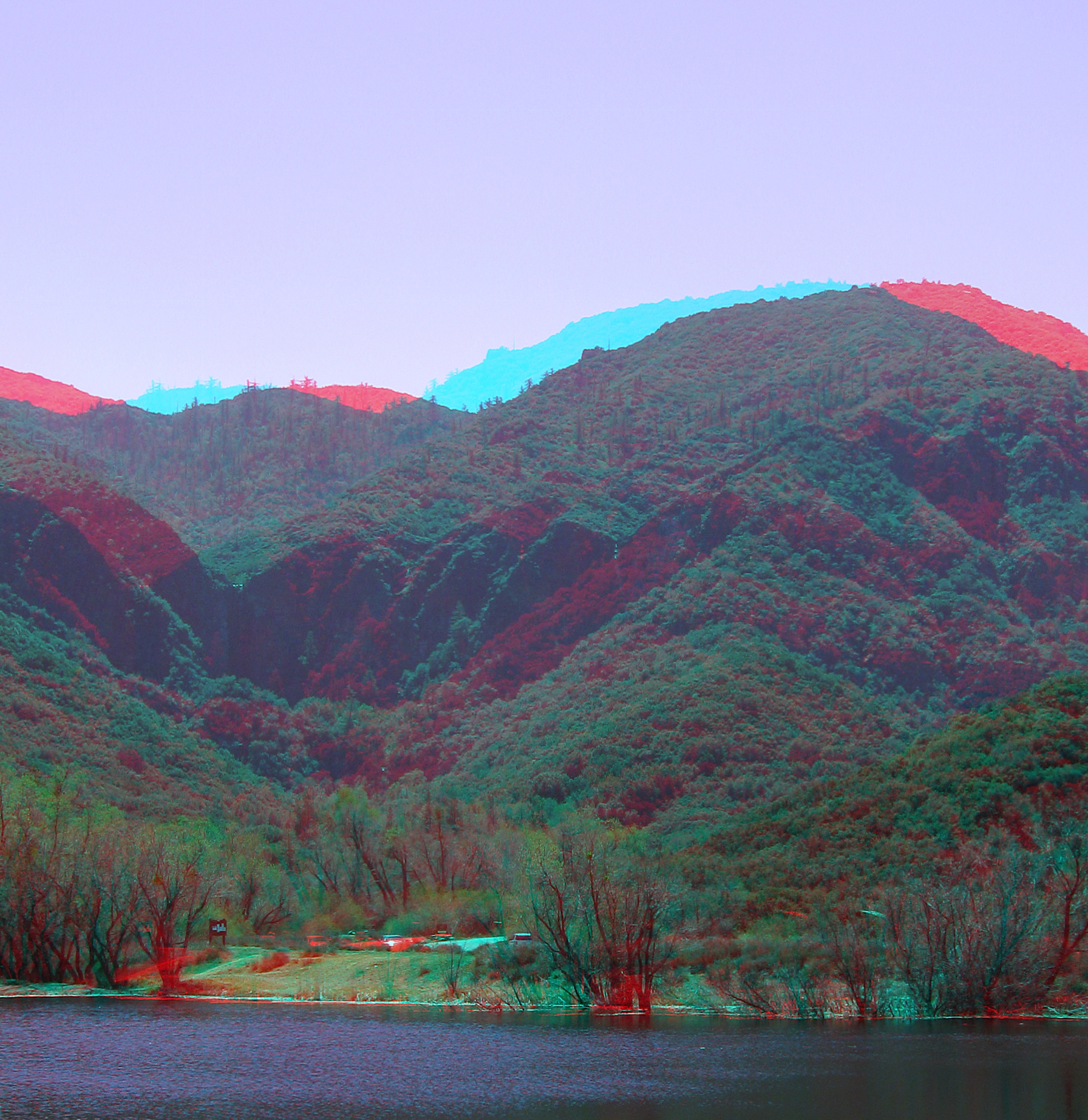
Rose Valley Falls, Campgrounds, Upper Lake hyper 3d

Cave's Eye View: Bird's Beak
Get on My Magic Carpet
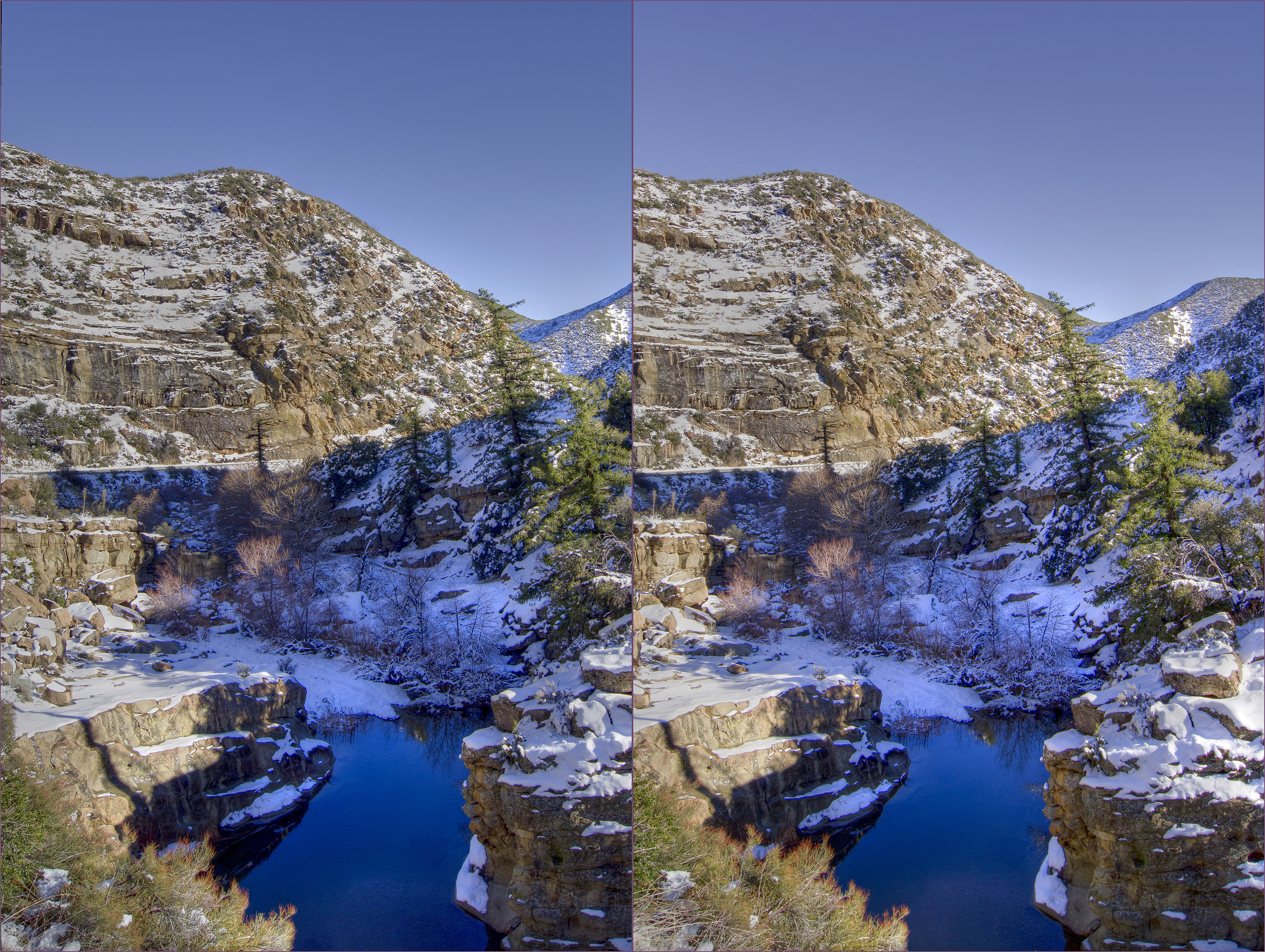
Sespe creek hdr hyper cross view 3d
View North from Raspberry/Reyes Saddle
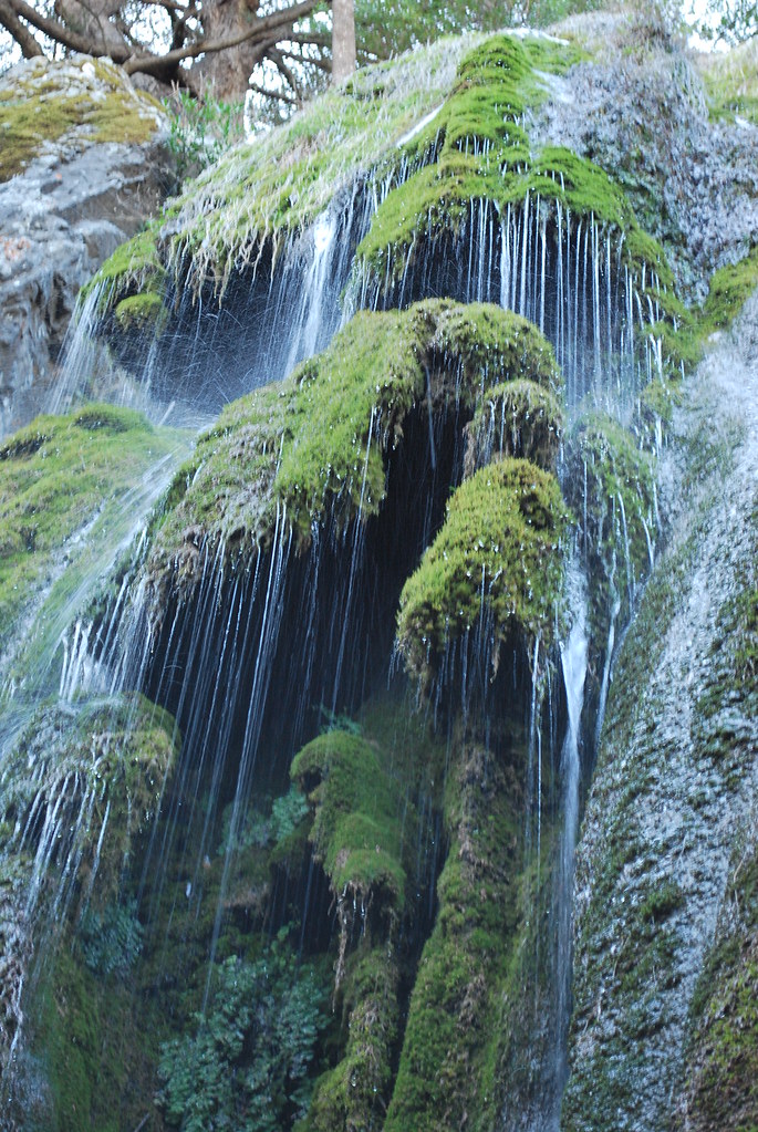
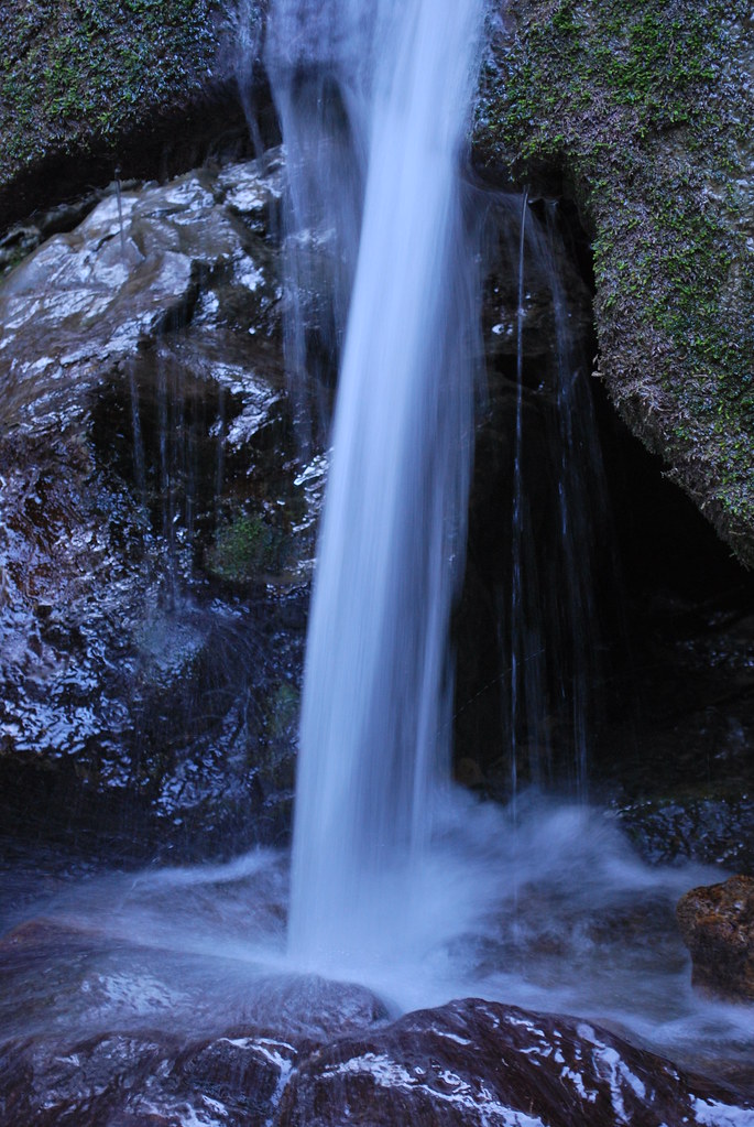
Rose Valley Falls

View from Haddock Mountain
out a ways
Ozena cross view 3d
Cresting the Rocks
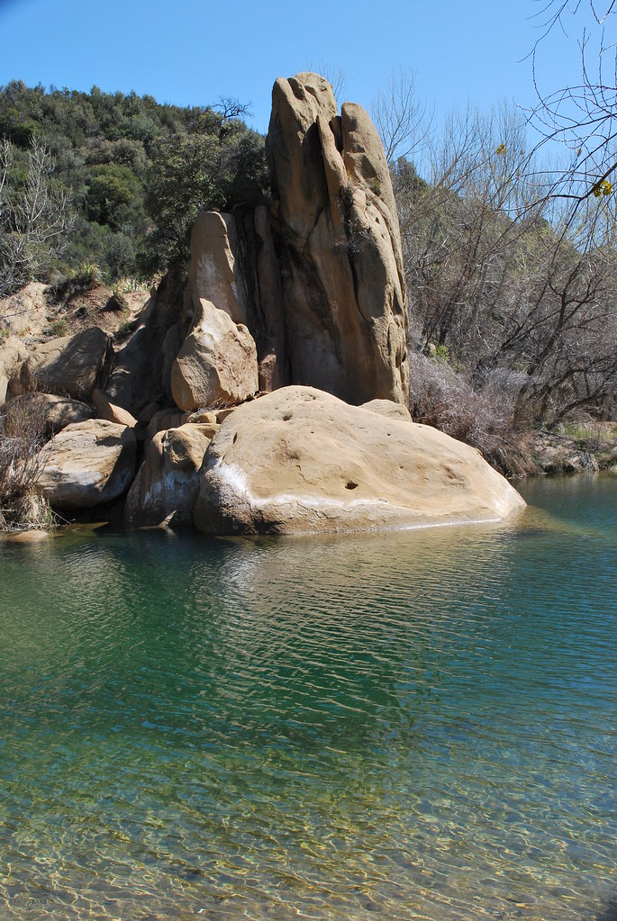
Rock Formation
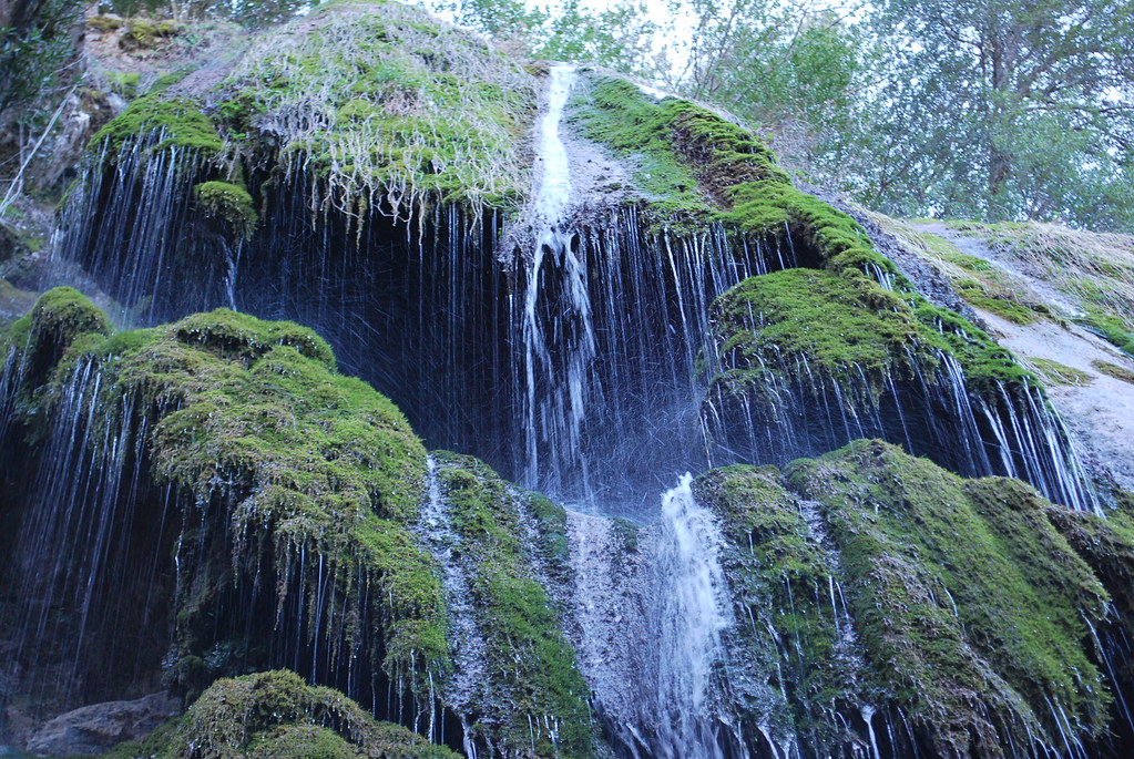
Rose Valley Falls
Facing North On Top Of The Pine Mountain Ridgeline: Bear Creek Headwaters And the Lockwood Valley Beyond
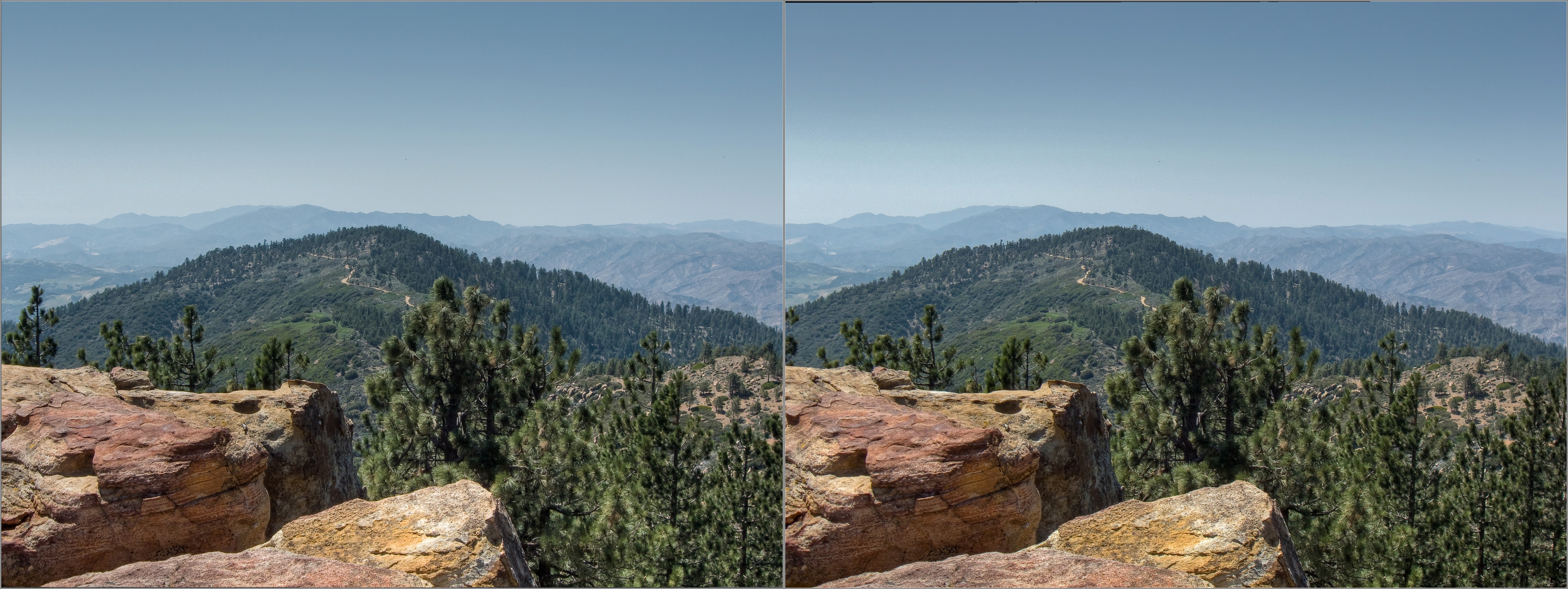
View WSW from Reyes Peak-2 pseudo_hdr coss-view 3d
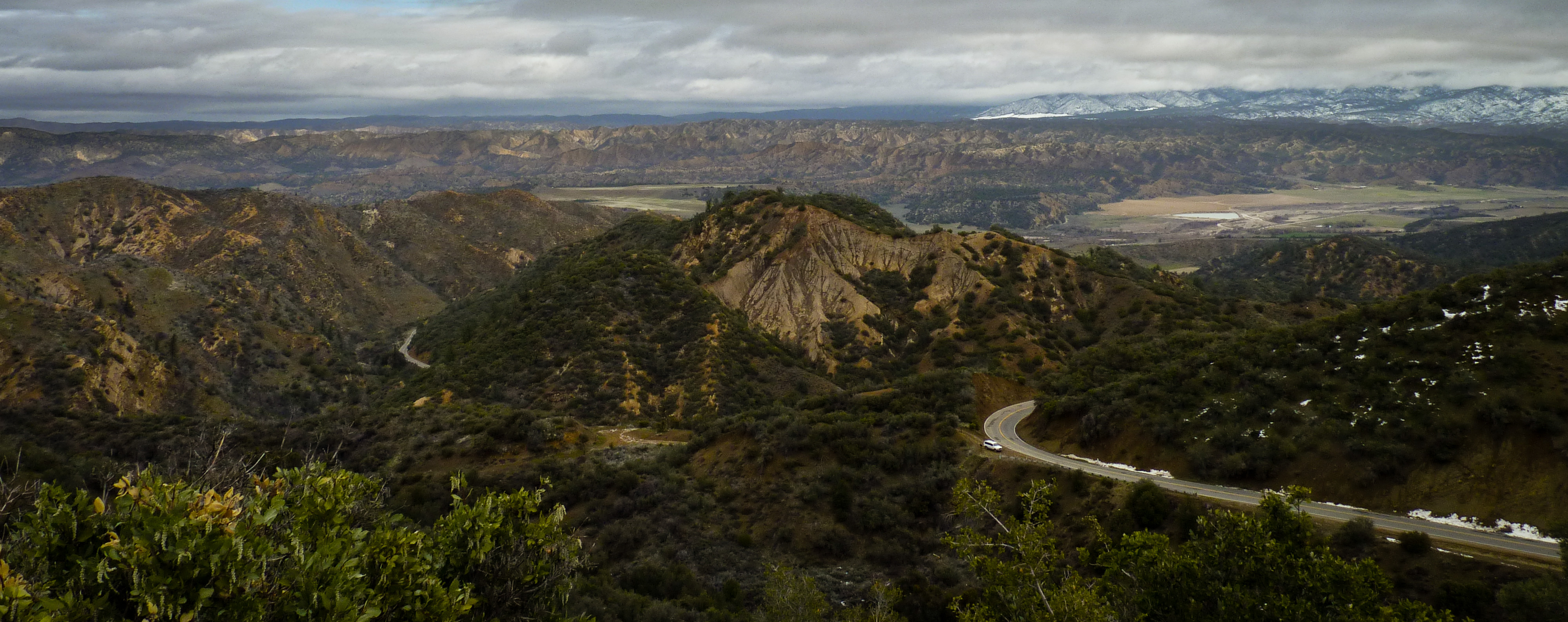
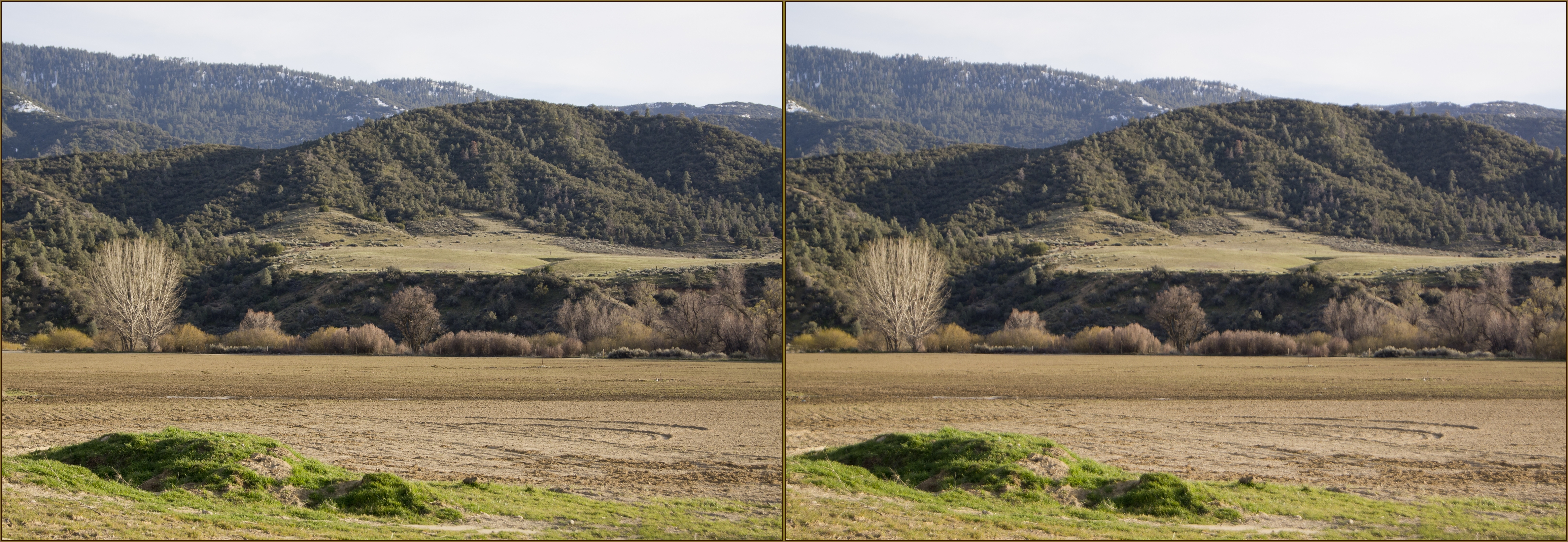
Cuyama Valley

view from the tent
Rock with a View
Topographic Map of Reyes Peak, California, USA
Find elevation by address:

Places near Reyes Peak, California, USA:
Reyes Creek Campground
3540 Forest Rte 5n13
San Guillermo Mountain
Matilija Hot Springs
Matilija Hot Springs Rd, Ojai, CA, USA
Thorn Point
868 Fairview Rd
Del Oro Drive
El Conejo Dr, Ojai, CA, USA
El Toro Rd, Ojai, CA, USA
Meiners Oaks
Su Nido Inn
Ojai
233 S Montgomery St
401 S Ventura St
California 150
4225 Thacher Rd
4255 Thacher Rd
4308 Hendrickson Rd
Loma Dr, Ojai, CA, USA
Recent Searches:
- Elevation of Corso Fratelli Cairoli, 35, Macerata MC, Italy
- Elevation of Tallevast Rd, Sarasota, FL, USA
- Elevation of 4th St E, Sonoma, CA, USA
- Elevation of Black Hollow Rd, Pennsdale, PA, USA
- Elevation of Oakland Ave, Williamsport, PA, USA
- Elevation of Pedrógão Grande, Portugal
- Elevation of Klee Dr, Martinsburg, WV, USA
- Elevation of Via Roma, Pieranica CR, Italy
- Elevation of Tavkvetili Mountain, Georgia
- Elevation of Hartfords Bluff Cir, Mt Pleasant, SC, USA