Elevation of Thorn Point, California, USA
Location: United States > California > Maricopa >
Longitude: -119.12788
Latitude: 34.6060984
Elevation: 2015m / 6611feet
Barometric Pressure: 79KPa
Elevation Map:
Satellite Map:
Related Photos:
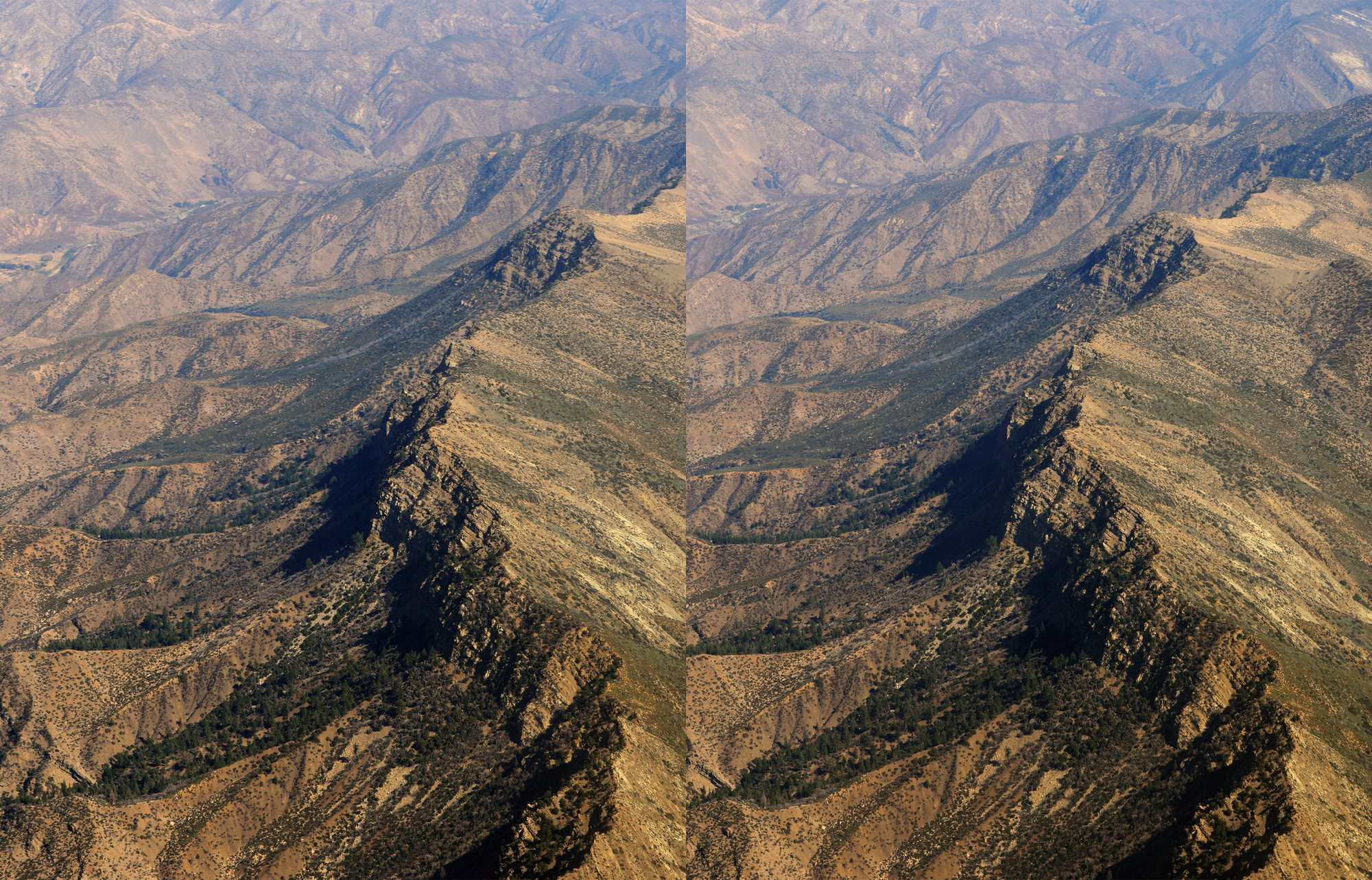
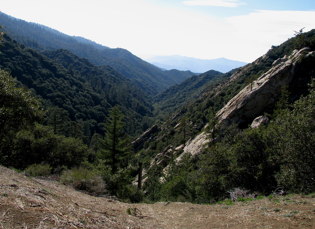
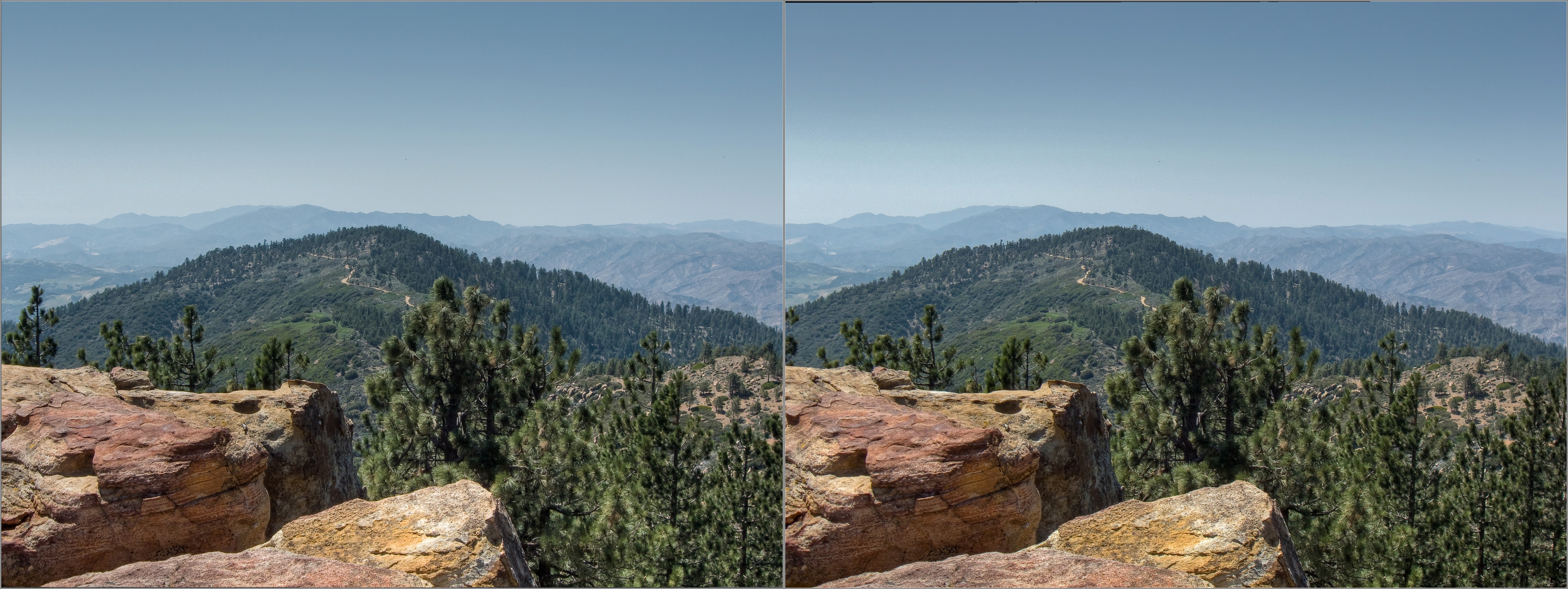
Los Padres National Forest (cross-eyed 3D)

Aerial Views - Sespe Creek
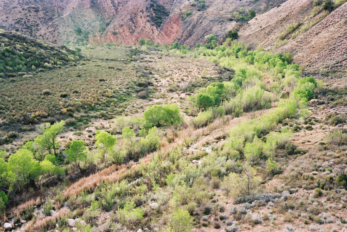
willows & cottonwoods

View from Haddock Mountain
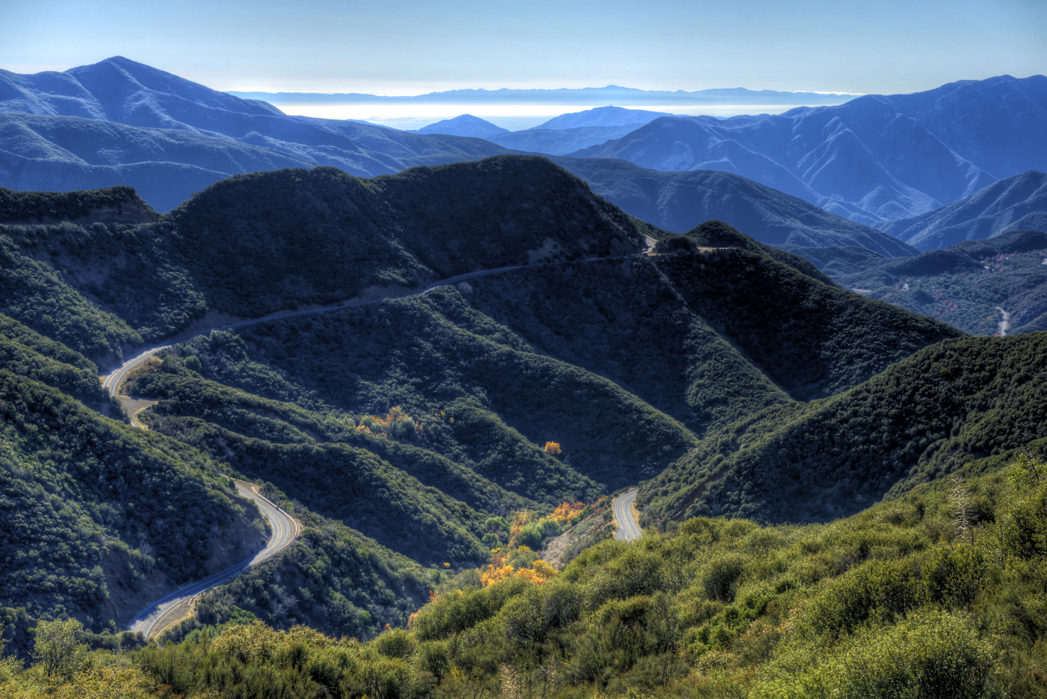
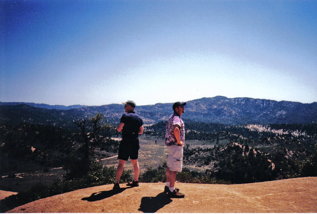
amazing views

Willet Morning
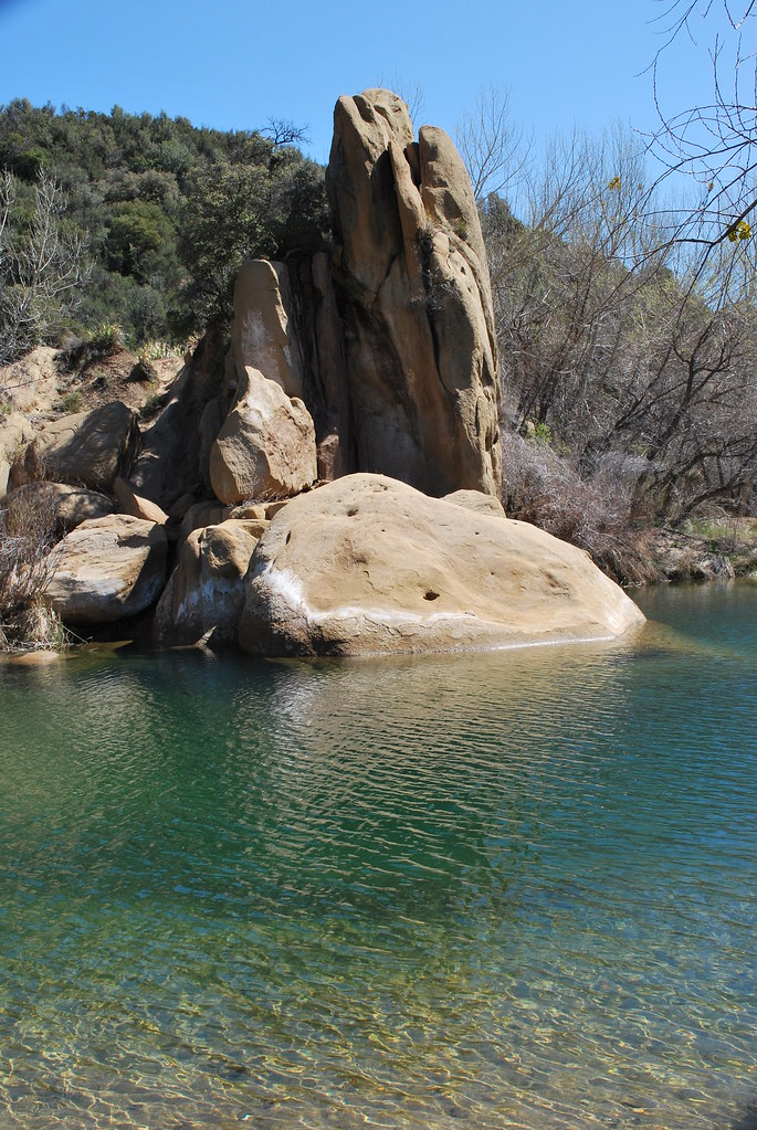
Rock Formation
Facing North On Top Of The Pine Mountain Ridgeline: Bear Creek Headwaters And the Lockwood Valley Beyond

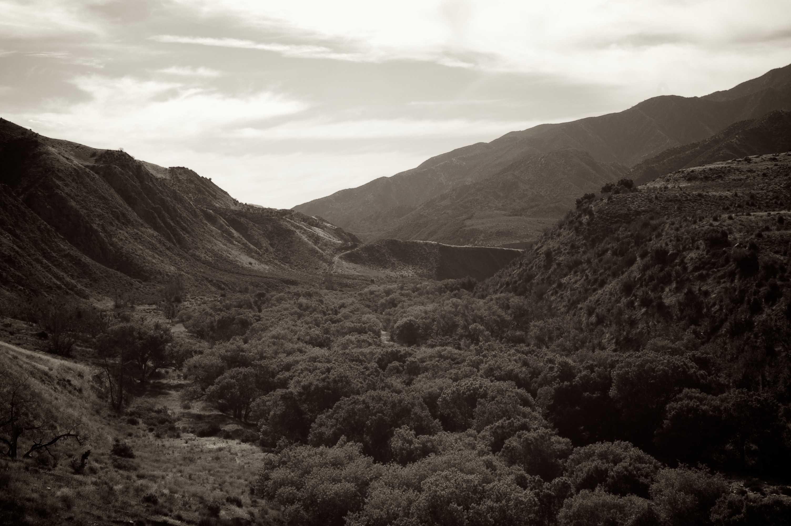
The Sespe Wilderness
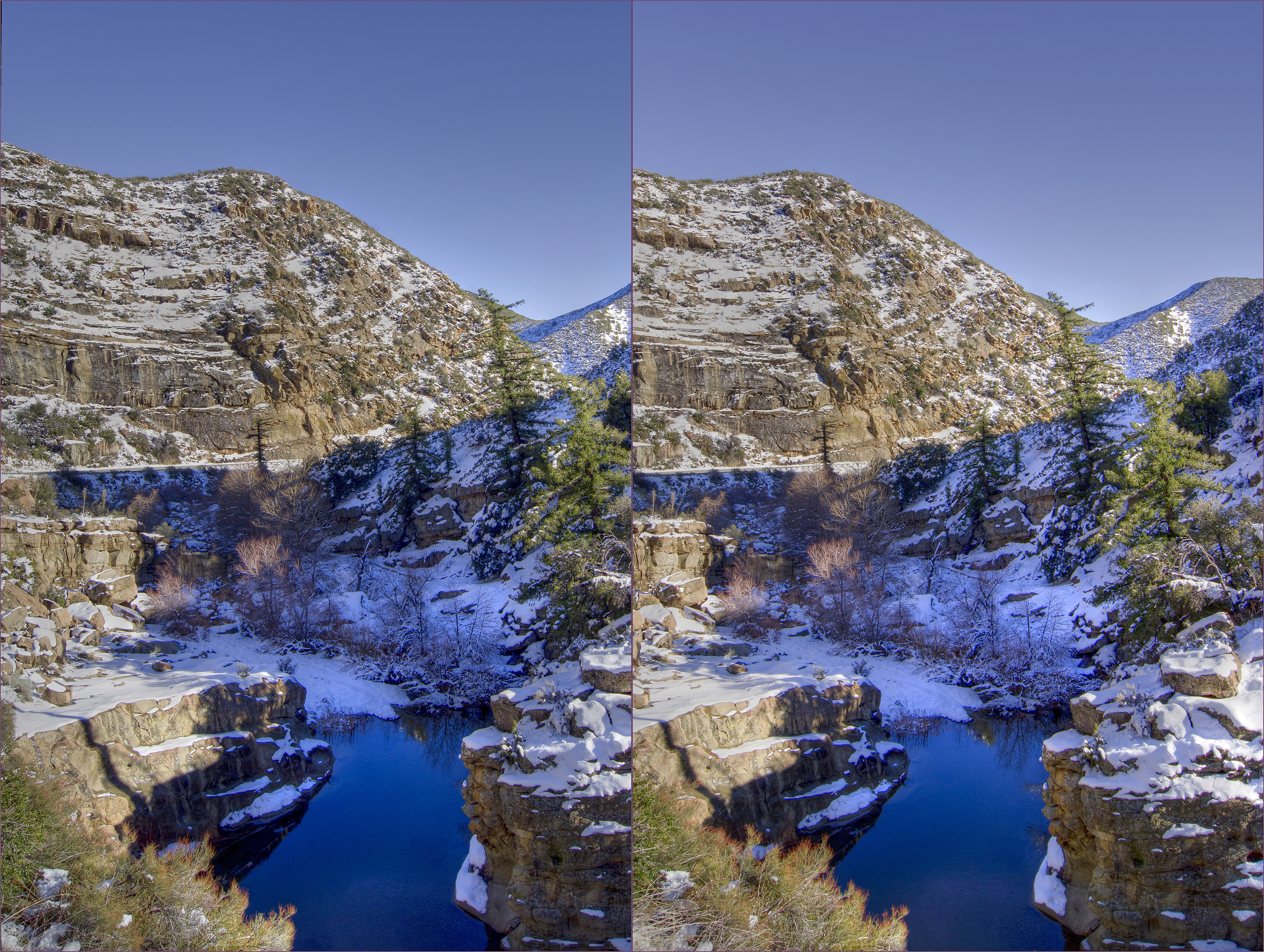
Sespe creek 2 Hi-Res hdr hyper cross view 3d

Rose Valley Falls, Campgrounds, Upper Lake hyper 3d

Cave's Eye View: Bird's Beak
Get on My Magic Carpet
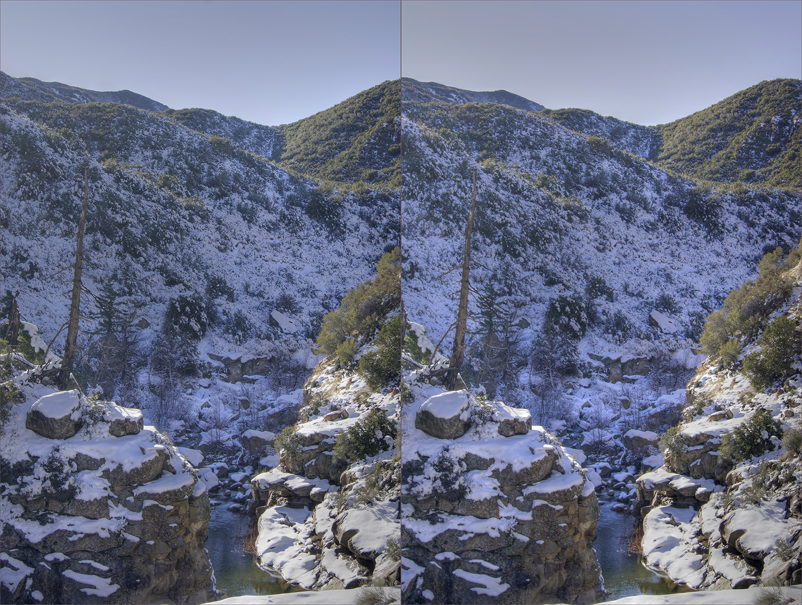
Sespe creek hdr hyper cross view 3d
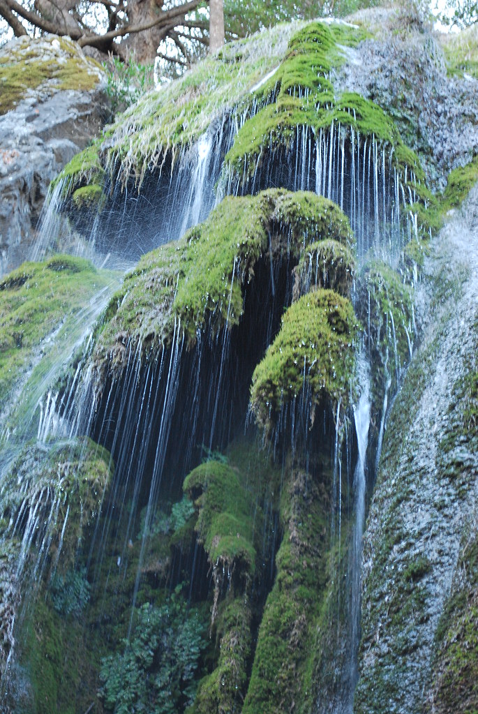
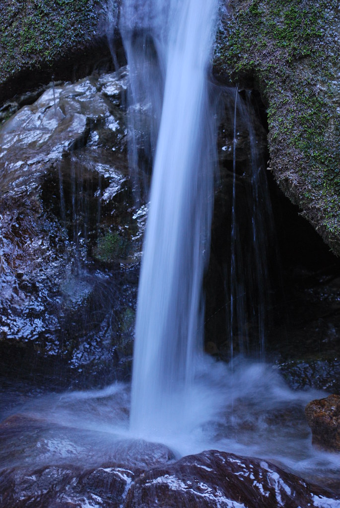
Rose Valley Falls
Half Moon Campground
Cresting the Rocks
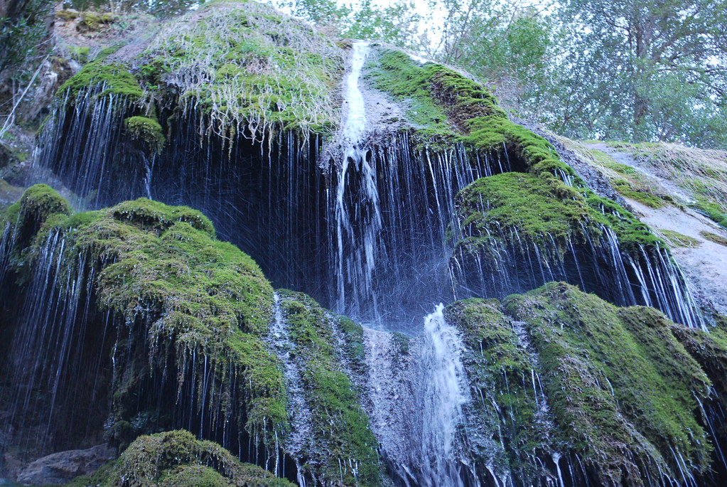
Rose Valley Falls

2011-07-15 Topa Topa View Panorama
View WSW from Reyes Peak-2 pseudo_hdr coss-view 3d

2011-07-15_Route 66 & California_023
Topographic Map of Thorn Point, California, USA
Find elevation by address:

Places near Thorn Point, California, USA:
Half Moon Campground
San Guillermo Mountain
Hines Peak
Topatopa Mountains
Lockwood Peak
Topatopa Bluff
Sisar Rd, Ojai, CA, USA
Reyes Peak
4225 Thacher Rd
4255 Thacher Rd
12617 Koenigstein Rd
Lockwood Valley Rd, Frazier Park, CA, USA
4308 Hendrickson Rd
9599 N Ojai Rd
10600 N Ojai Rd
11200 Topa Vista Rd
Alamo Mountain
Ojai Santa Paula Rd, Santa Paula, CA, USA
9342 N Ojai Rd
Ojai Santa Paula Rd, Santa Paula, CA, USA
Recent Searches:
- Elevation of Corso Fratelli Cairoli, 35, Macerata MC, Italy
- Elevation of Tallevast Rd, Sarasota, FL, USA
- Elevation of 4th St E, Sonoma, CA, USA
- Elevation of Black Hollow Rd, Pennsdale, PA, USA
- Elevation of Oakland Ave, Williamsport, PA, USA
- Elevation of Pedrógão Grande, Portugal
- Elevation of Klee Dr, Martinsburg, WV, USA
- Elevation of Via Roma, Pieranica CR, Italy
- Elevation of Tavkvetili Mountain, Georgia
- Elevation of Hartfords Bluff Cir, Mt Pleasant, SC, USA