Elevation of Topatopa Bluff, California, USA
Location: United States > California > Ventura County > Santa Paula >
Longitude: -119.10427
Latitude: 34.4883257
Elevation: 1771m / 5810feet
Barometric Pressure: 82KPa
Elevation Map:
Satellite Map:
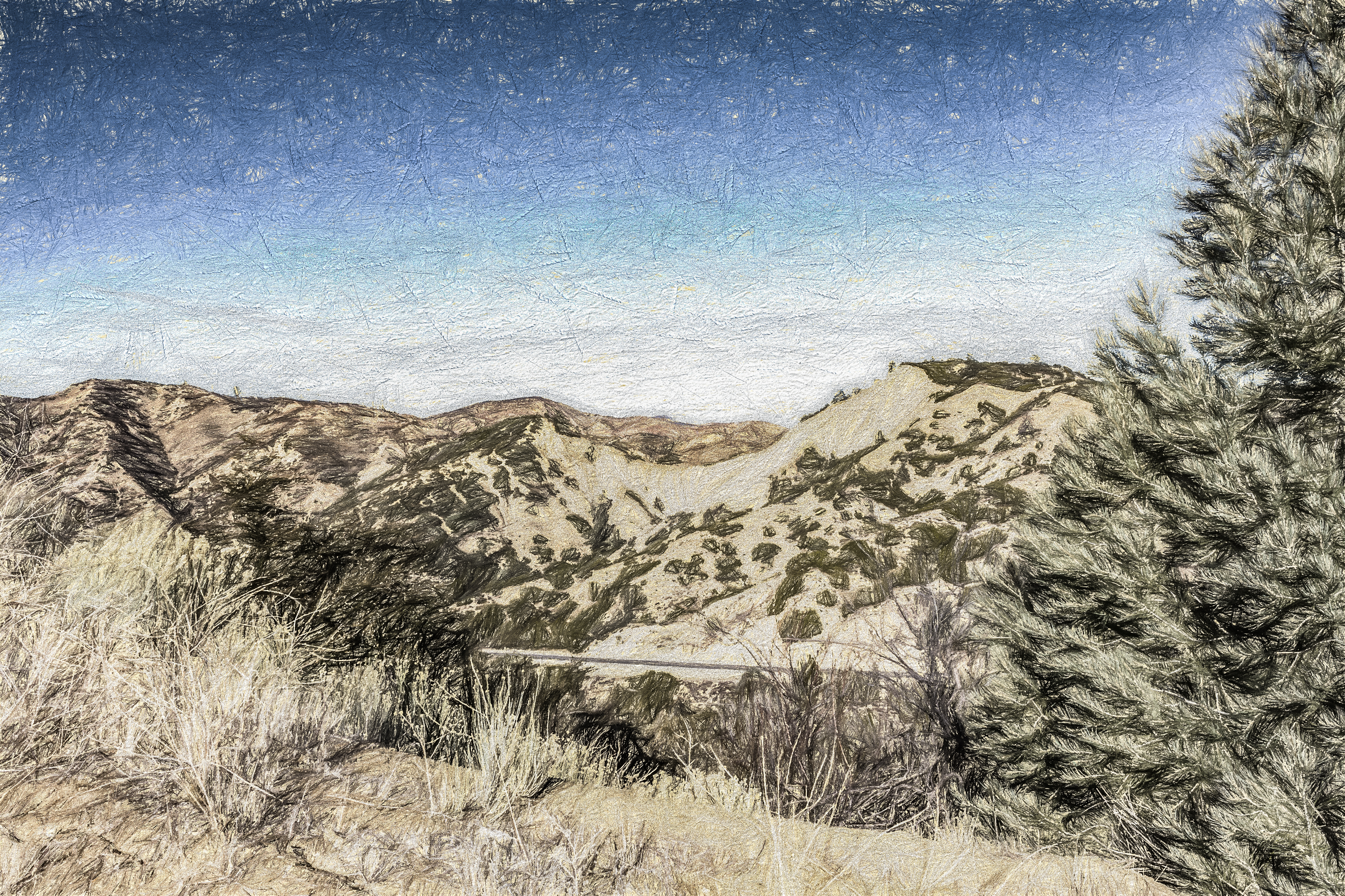
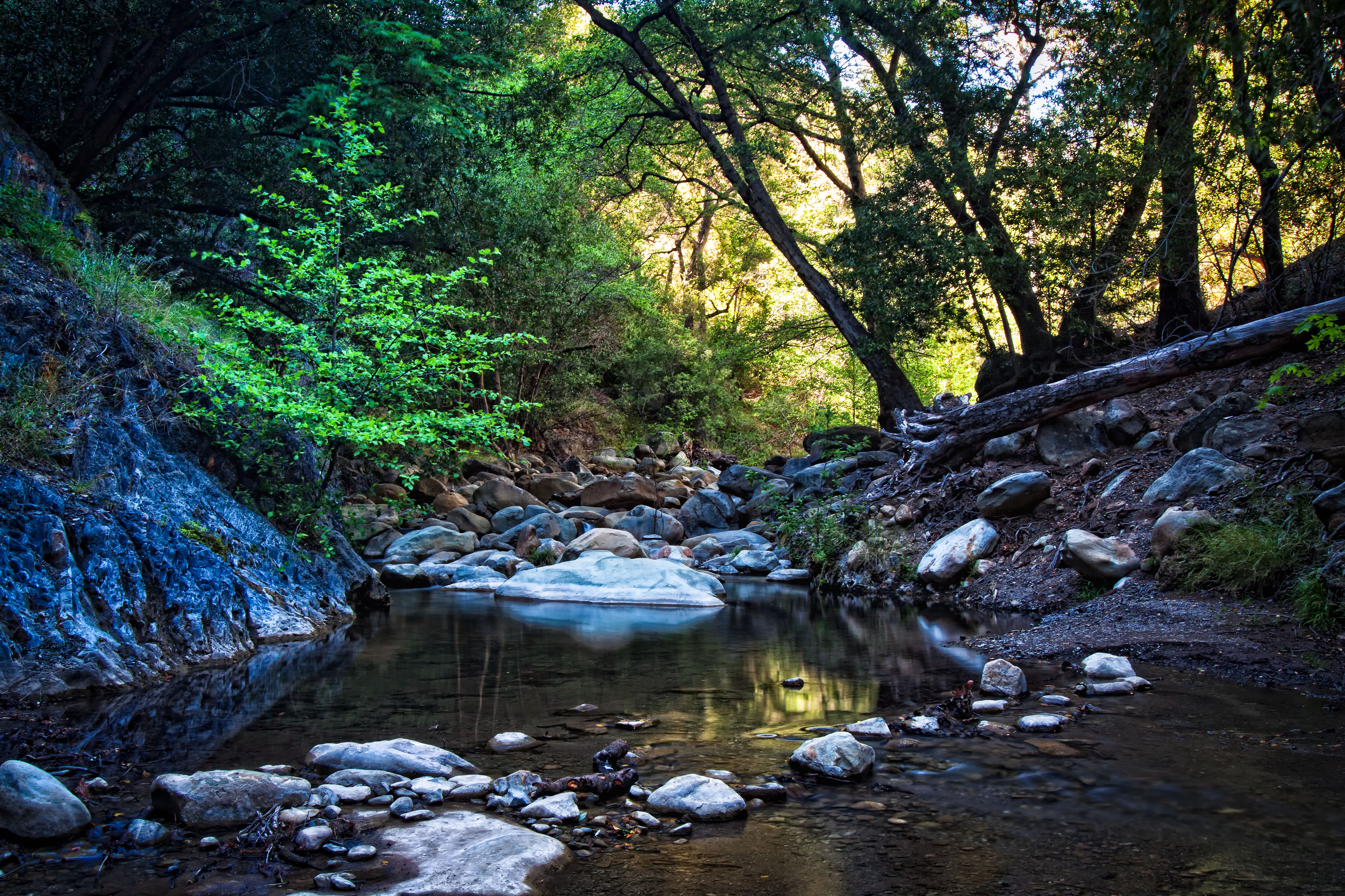
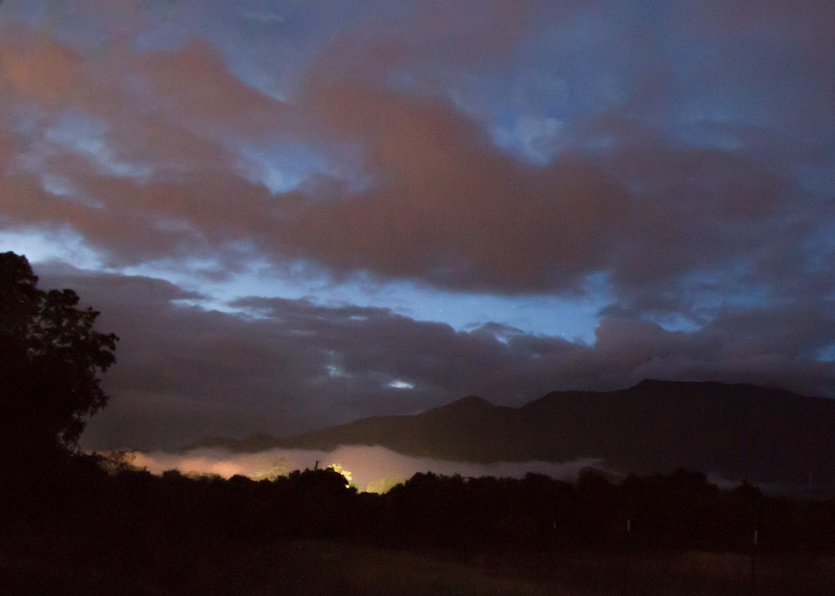
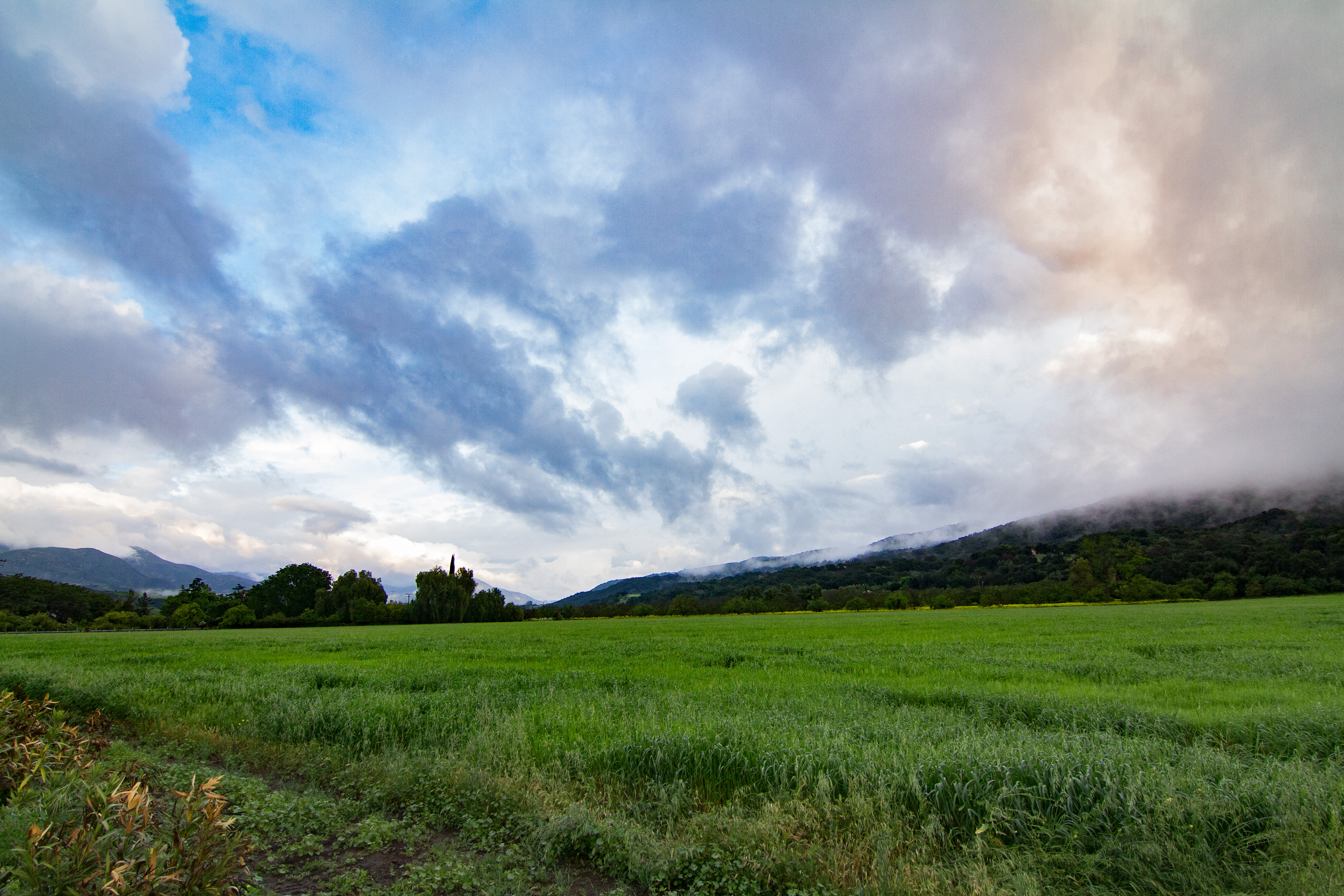
Related Photos:
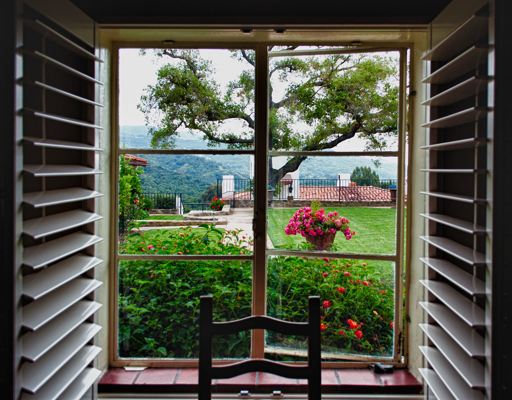
The view out of the window
Get on My Magic Carpet
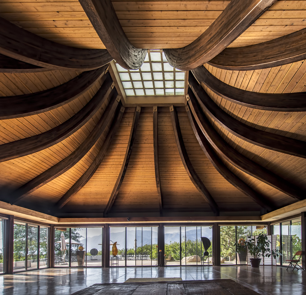
The Auditorium at Meditation Mount (HDR)
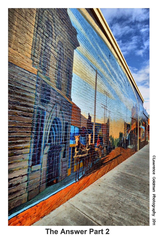
The Answer Part 2 hdr
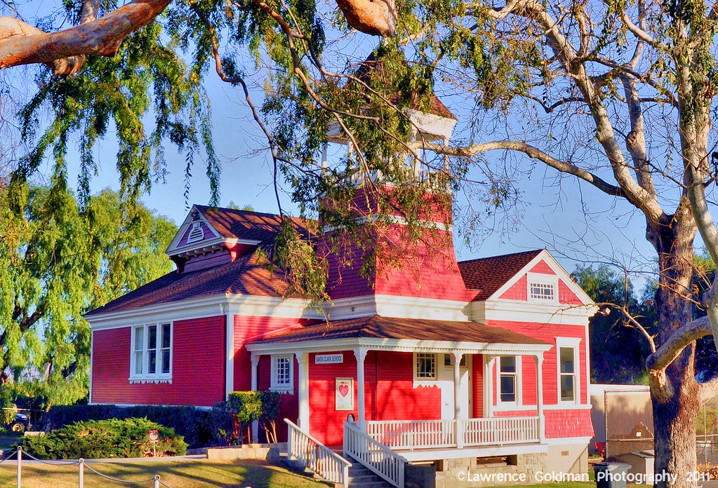
Little Red Schoolhouse -- Santa Clara School
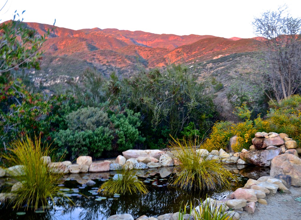
Meditation Mount, Nordhoff ridge, Ojai, sunset views
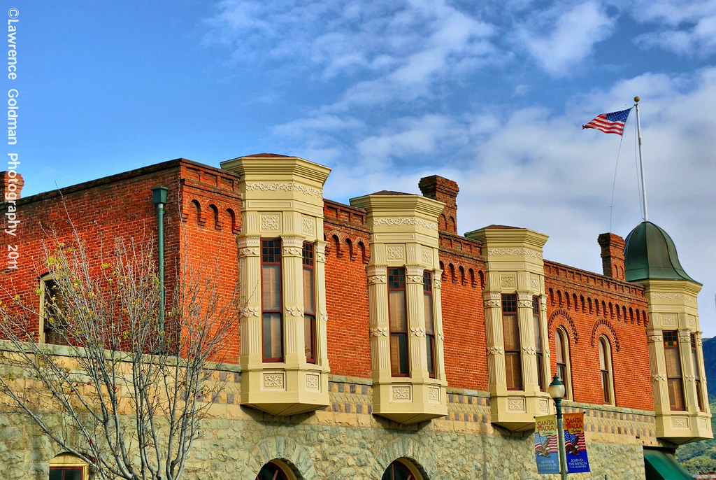
Brick Work and Windows Oil Museum Santa Paula hdr
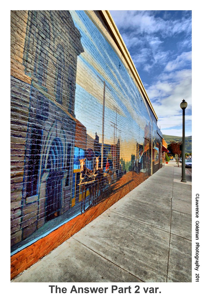
The Answer Part 2 var hdr
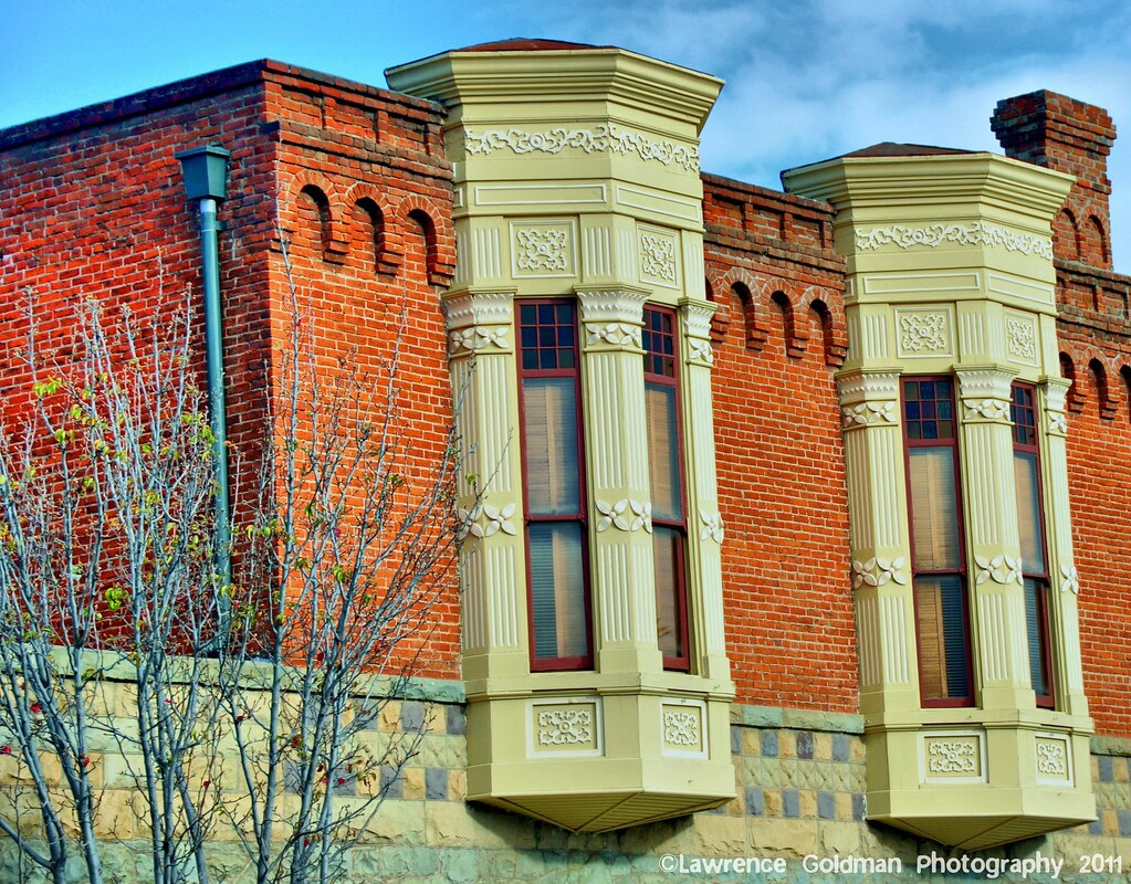
Architectural Detail Oil Museum Santa Paula hdr
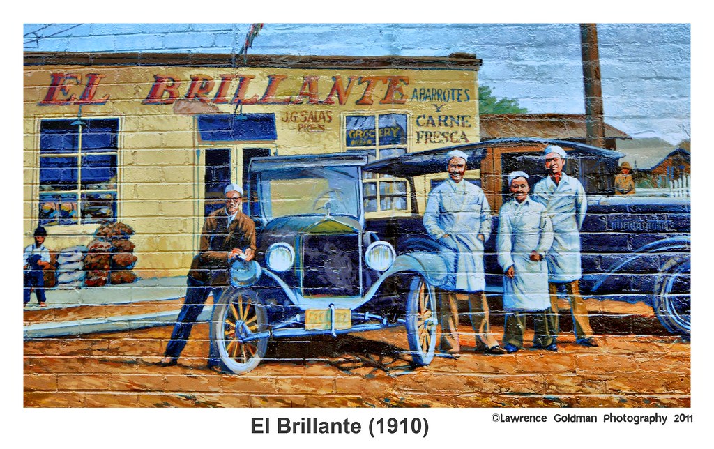
El Brillante (1910) hdr
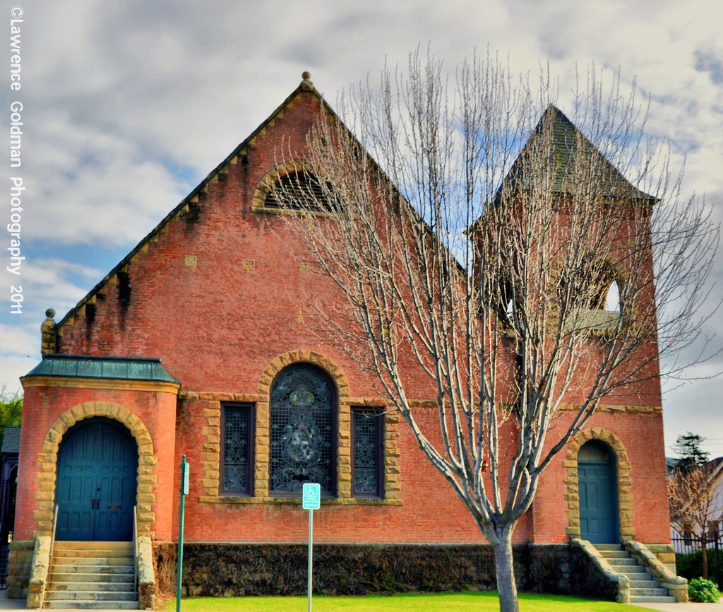
First Unitarian Universalist Church of Santa Paula
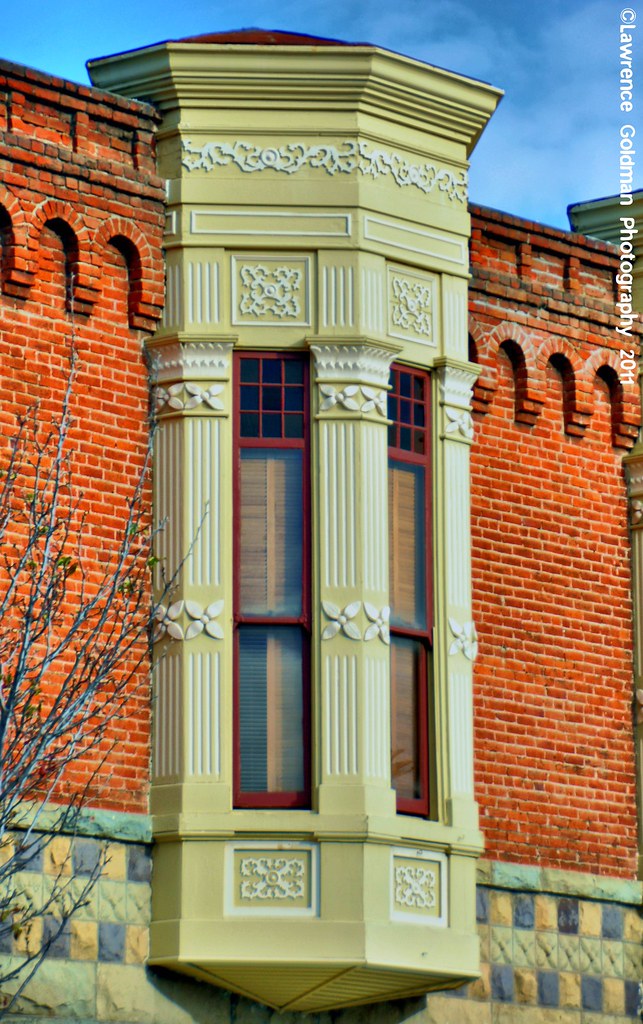
Window Detail Oil Museum Santa Paula hdr
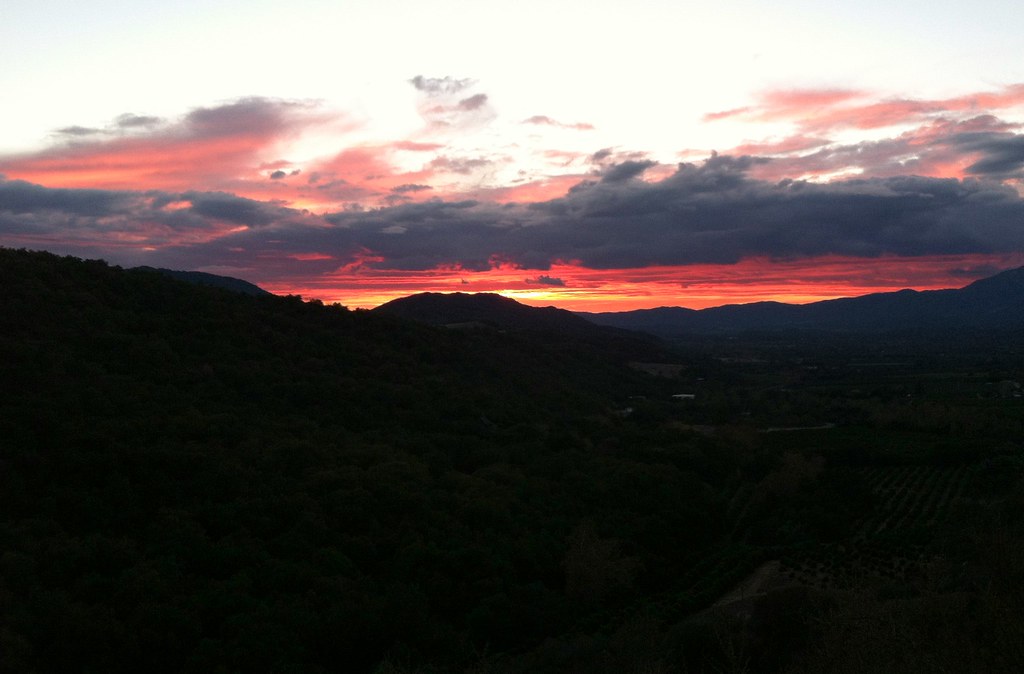
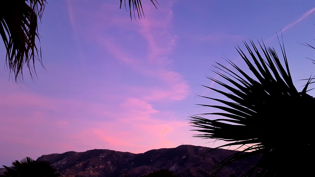
Ojai Sunset
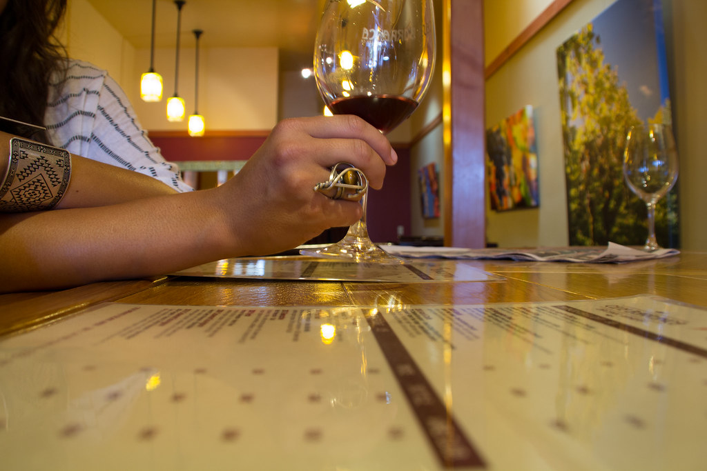
View from the Wine Bar

Moss & Lichen Texture
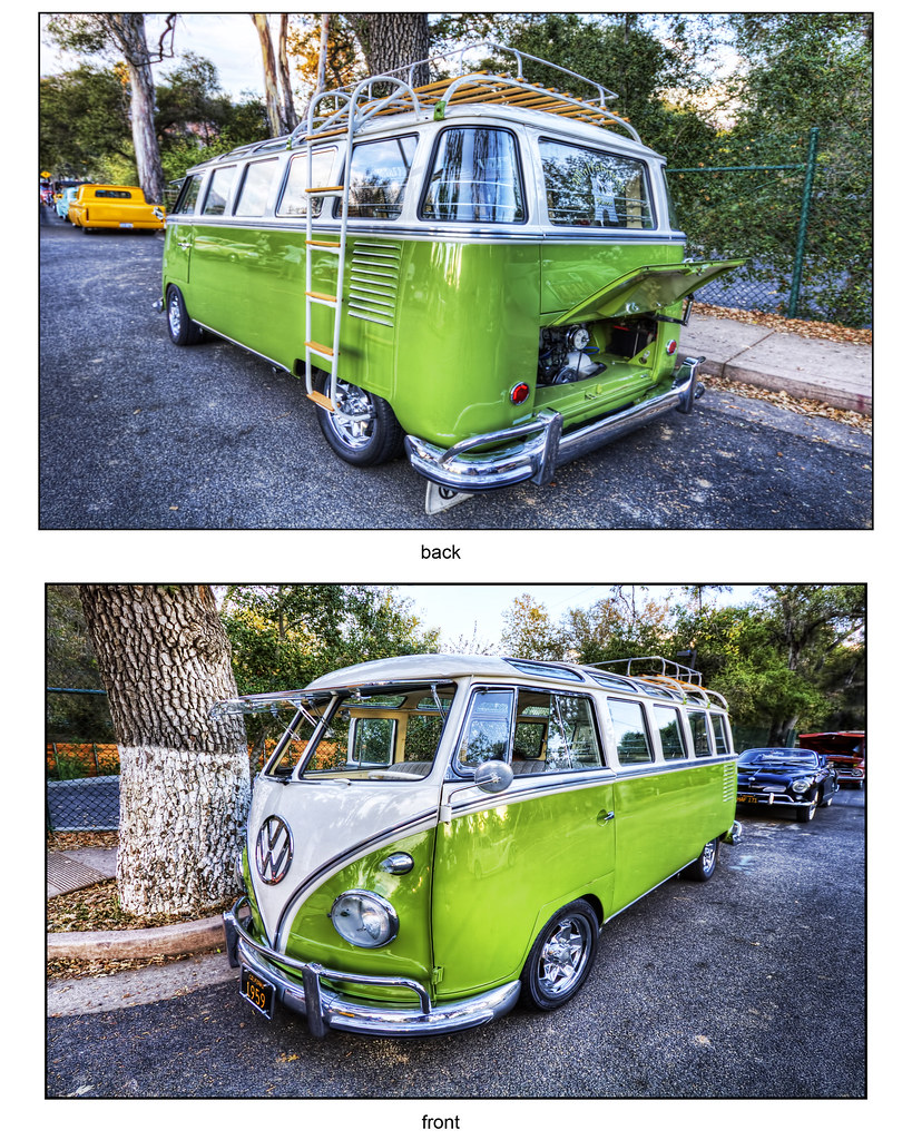
VW kombi..
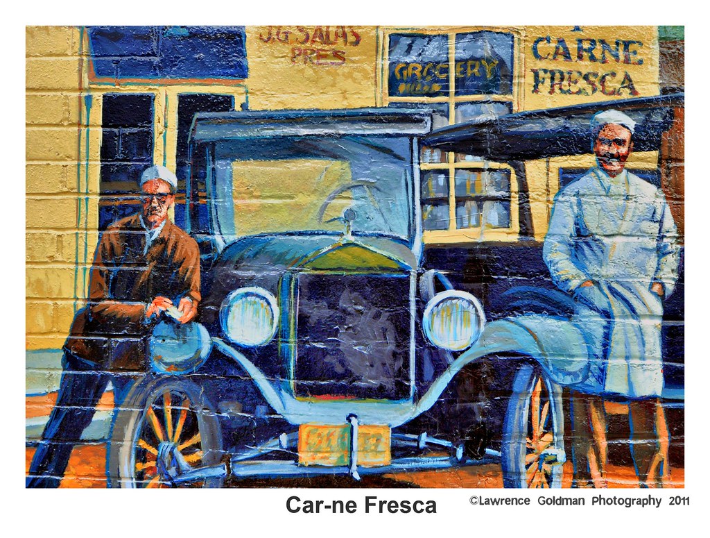
Car-ne Fresca
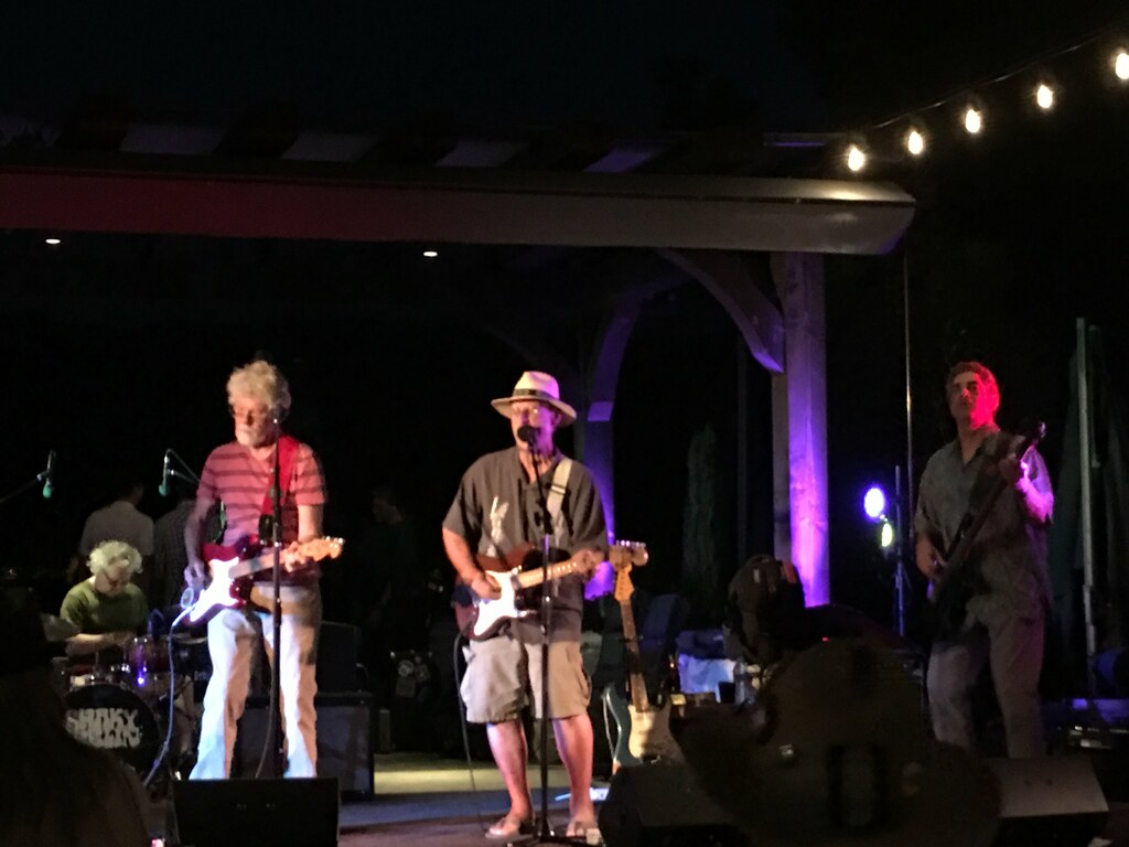
Left to Right: Fred Tackett, Paul Barrere and Ken Gradney Of Little Feat Tear It Up @ Topa Topa Winery in Ojai, California at the benefit concert for Safety Harbor Kids.

Chair With A View
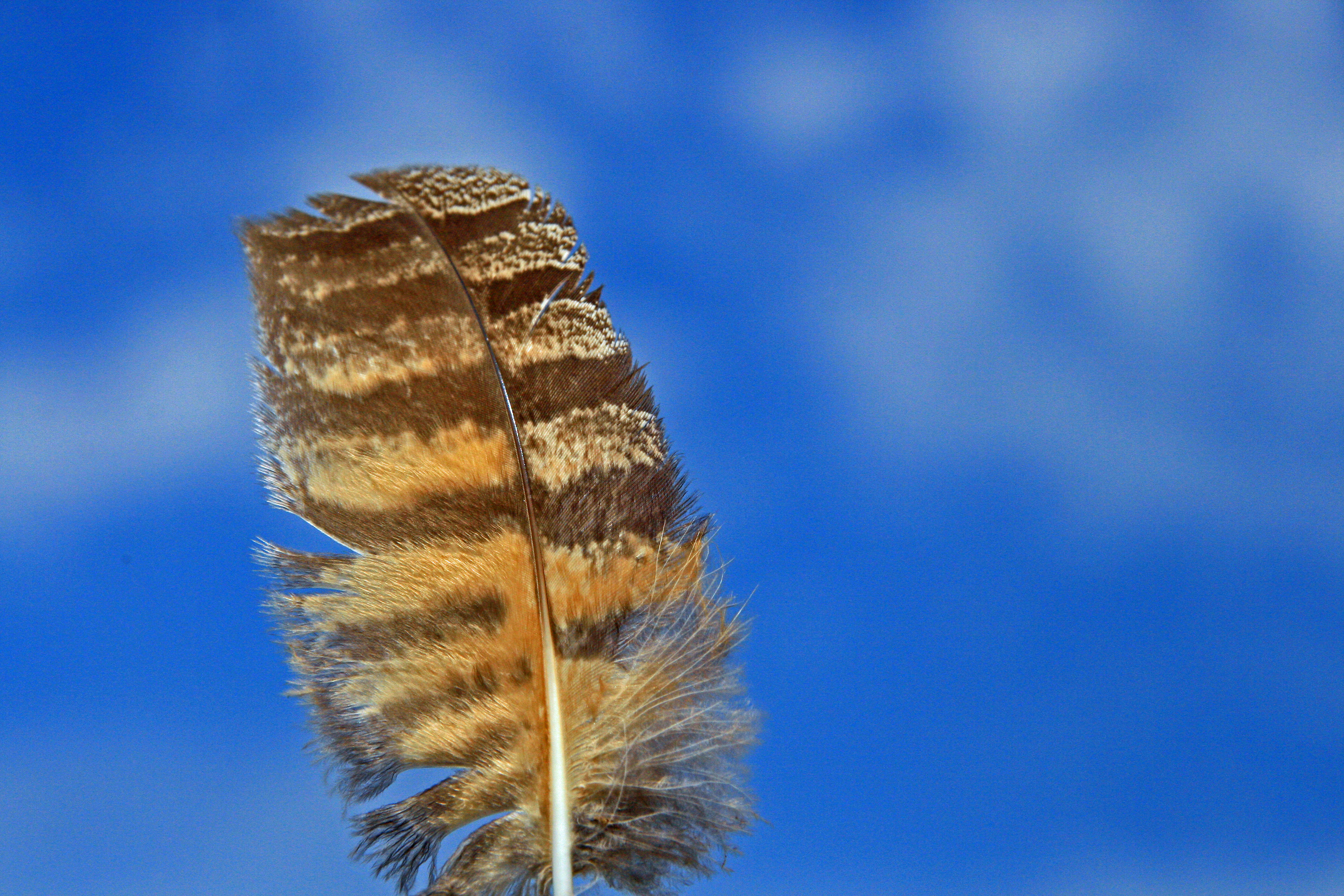
Great Horned Owl Feather

Willits Hot Spring2
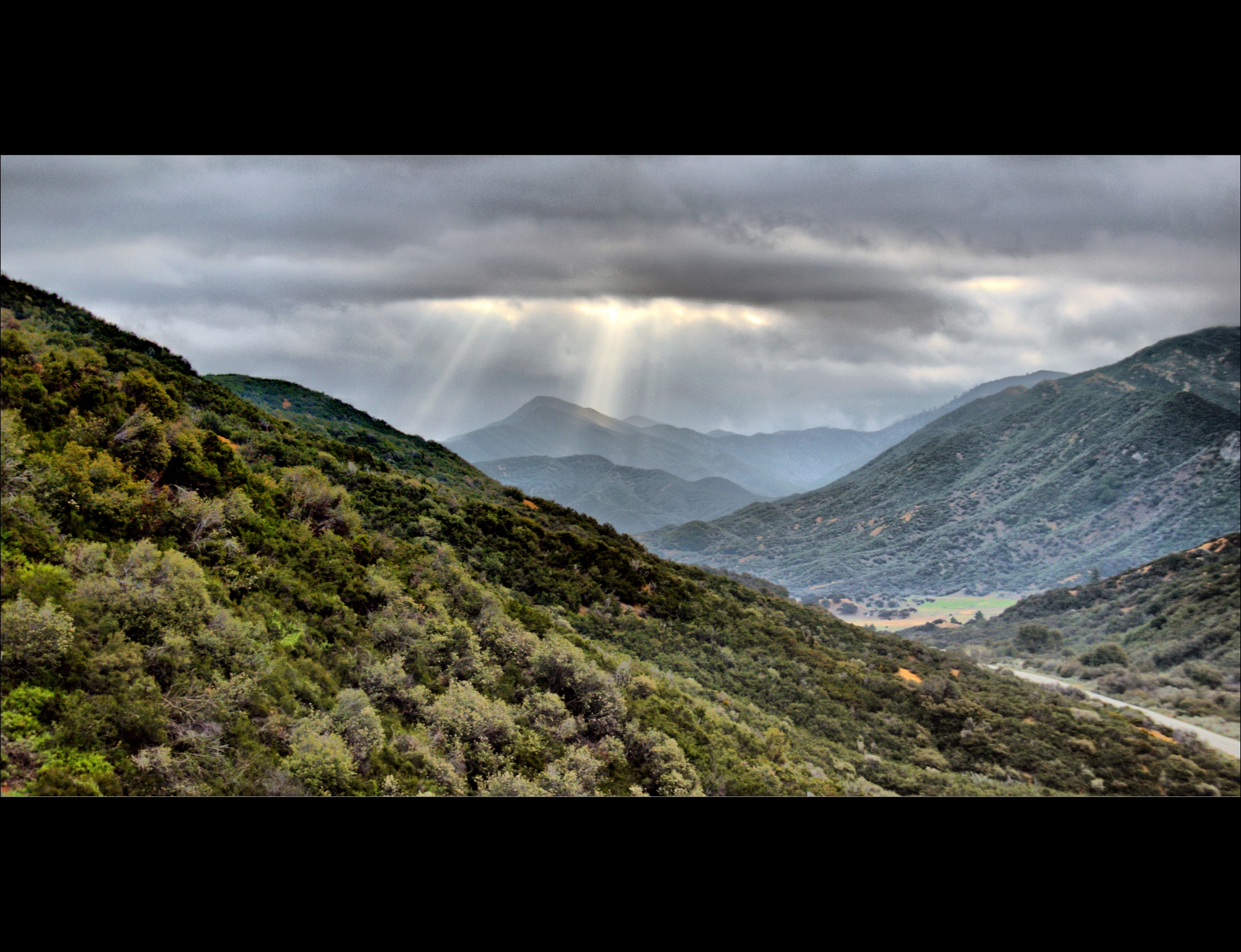
Los Padres National Forest, Rose Valley
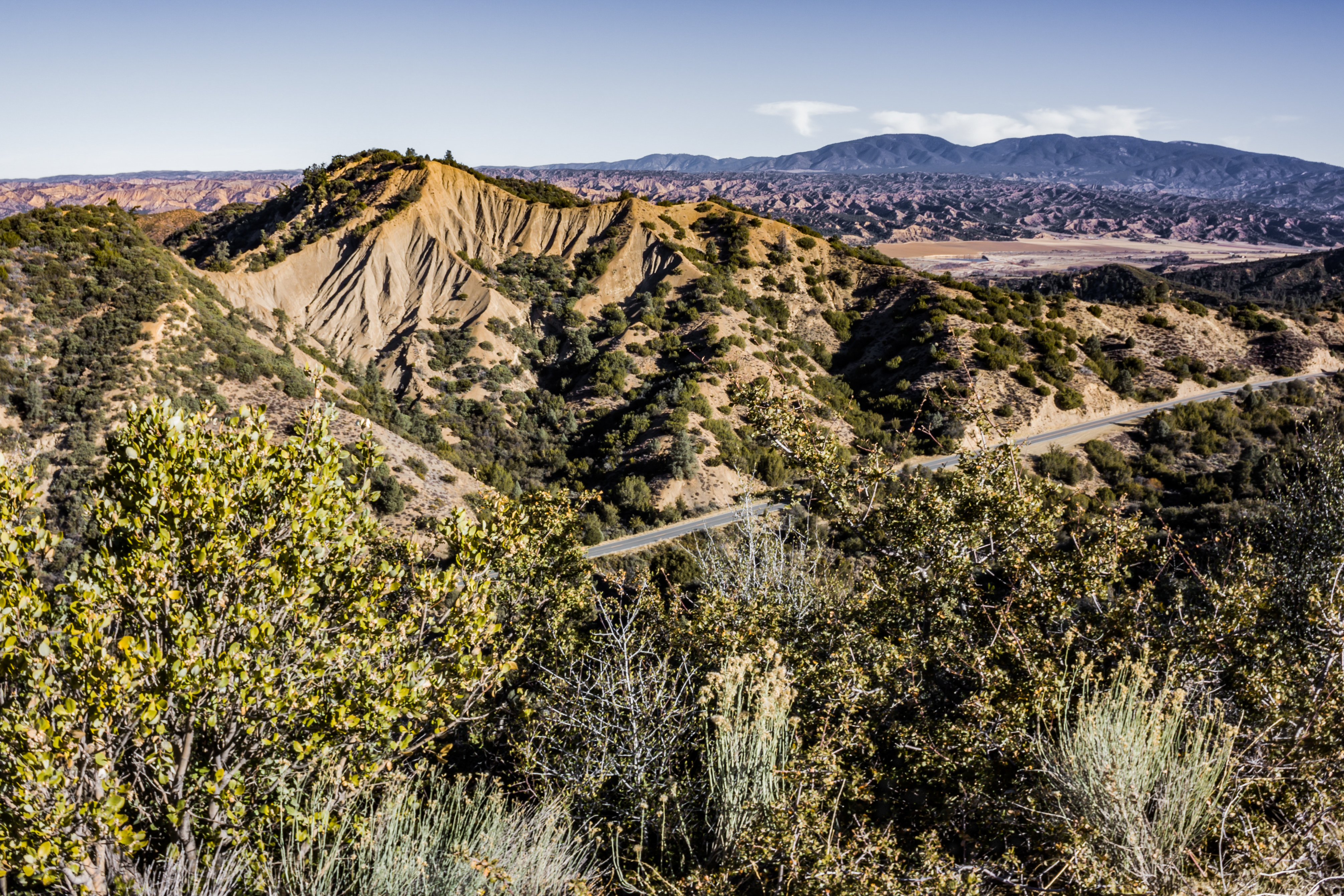
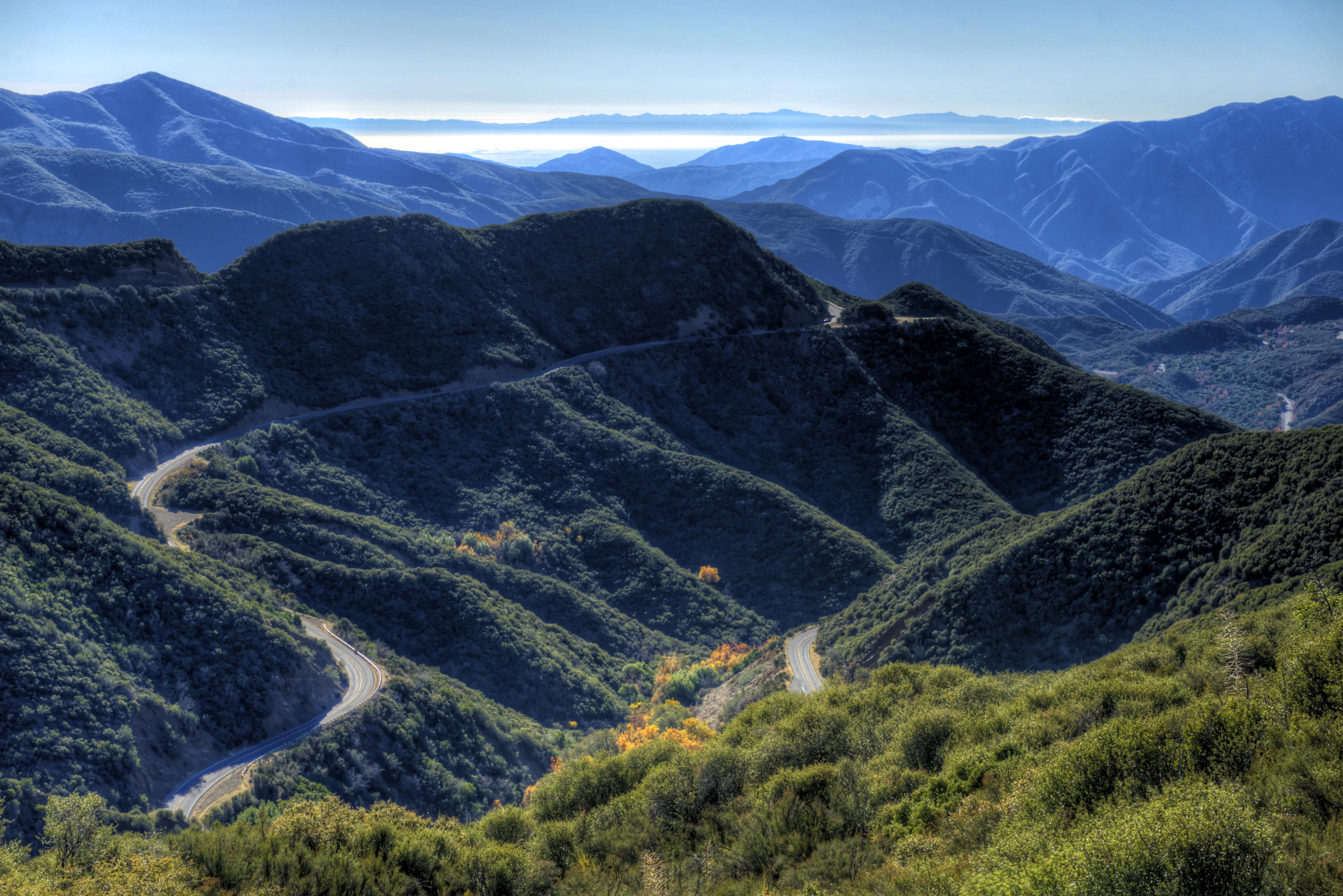
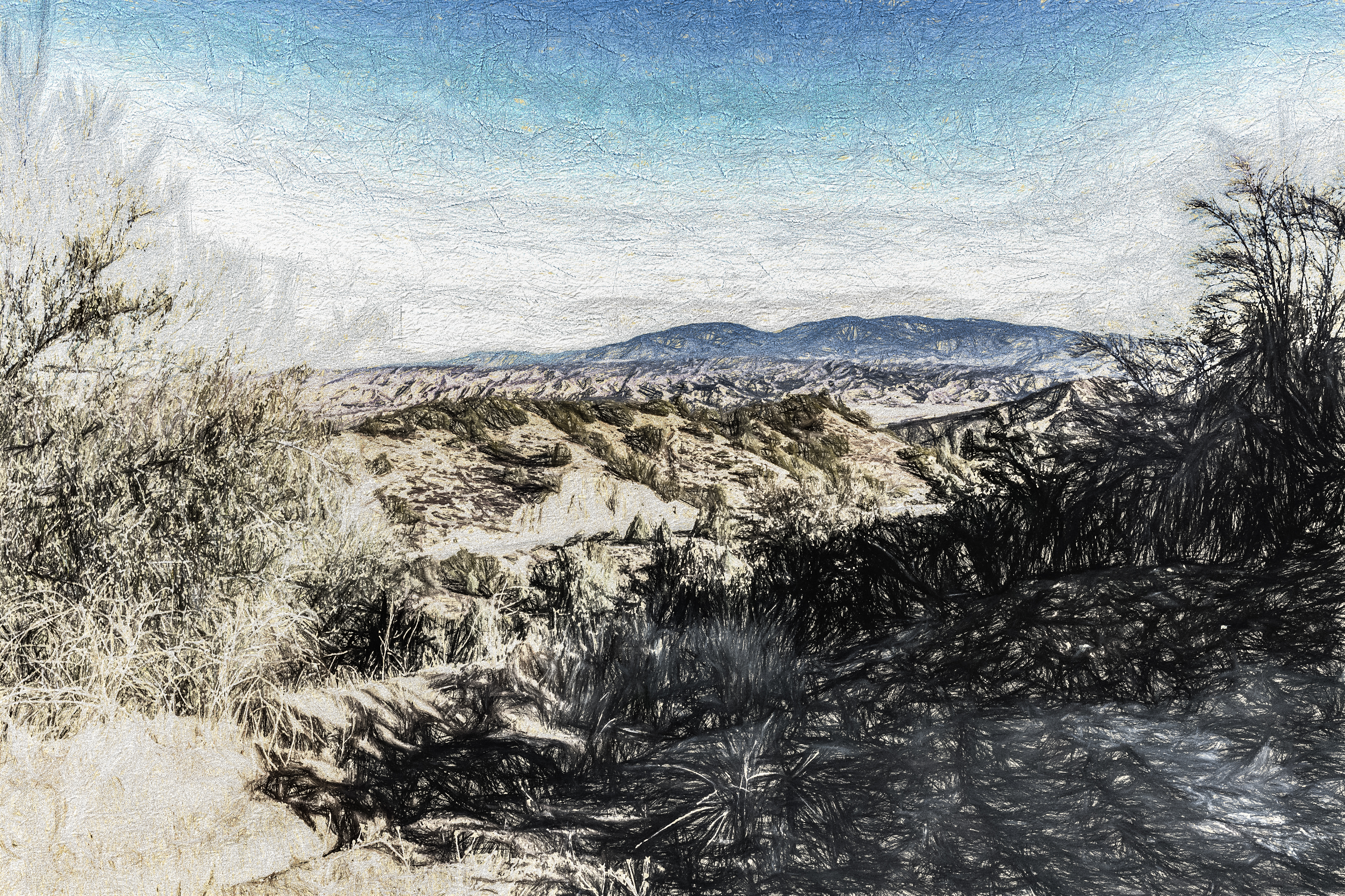
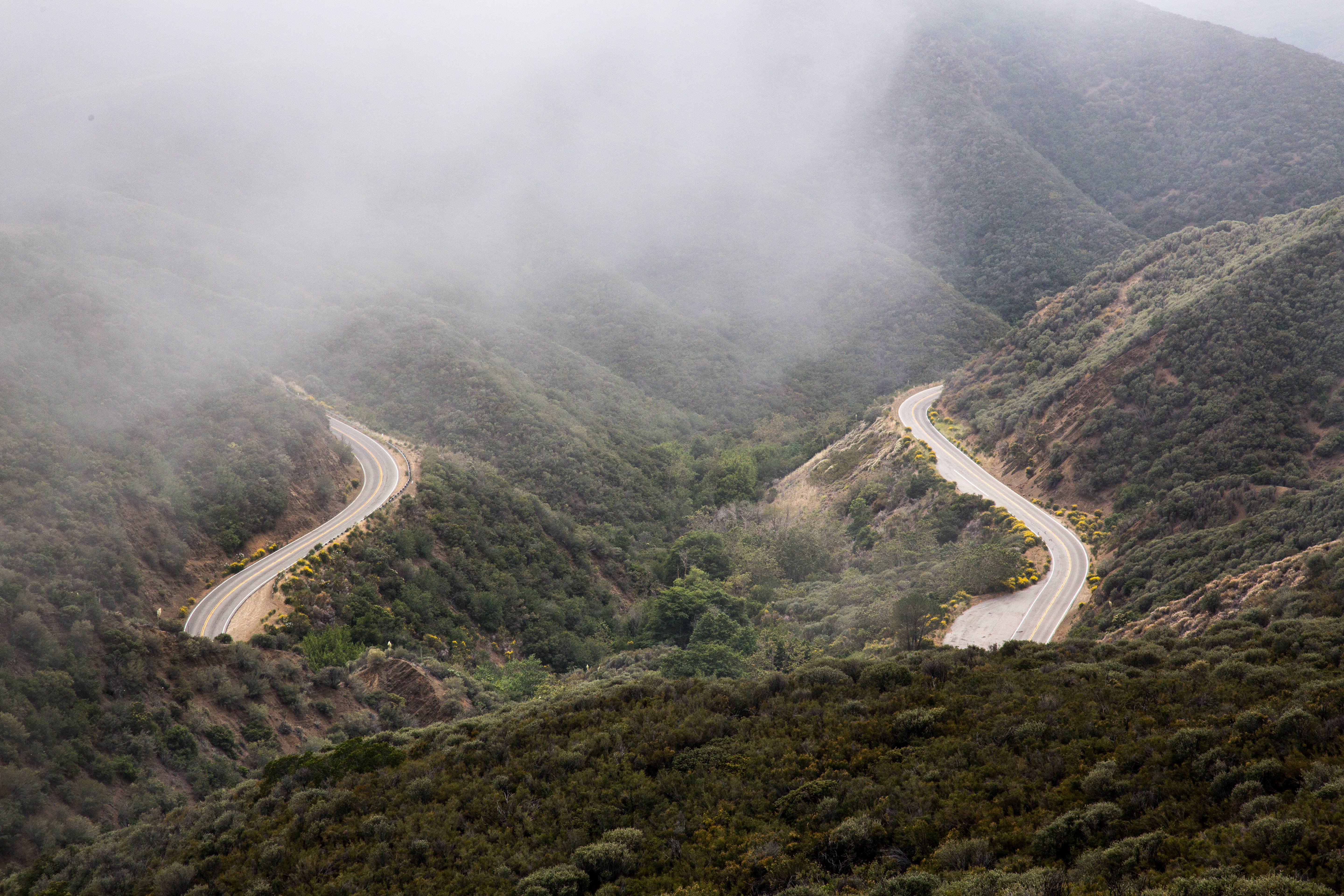
Roads Less Traveled
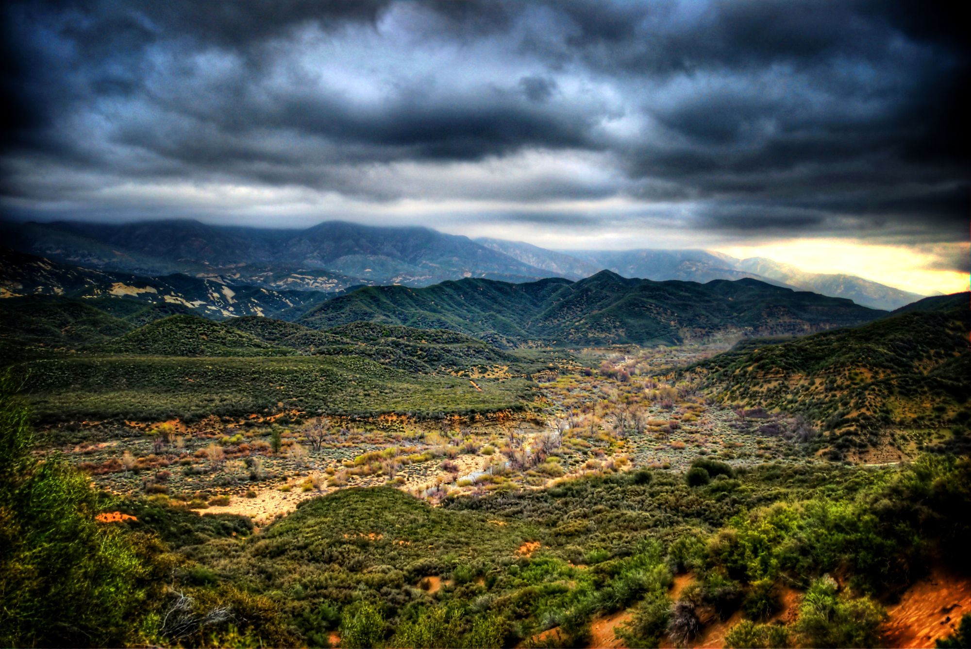
Los Padres National Forest, The River Out
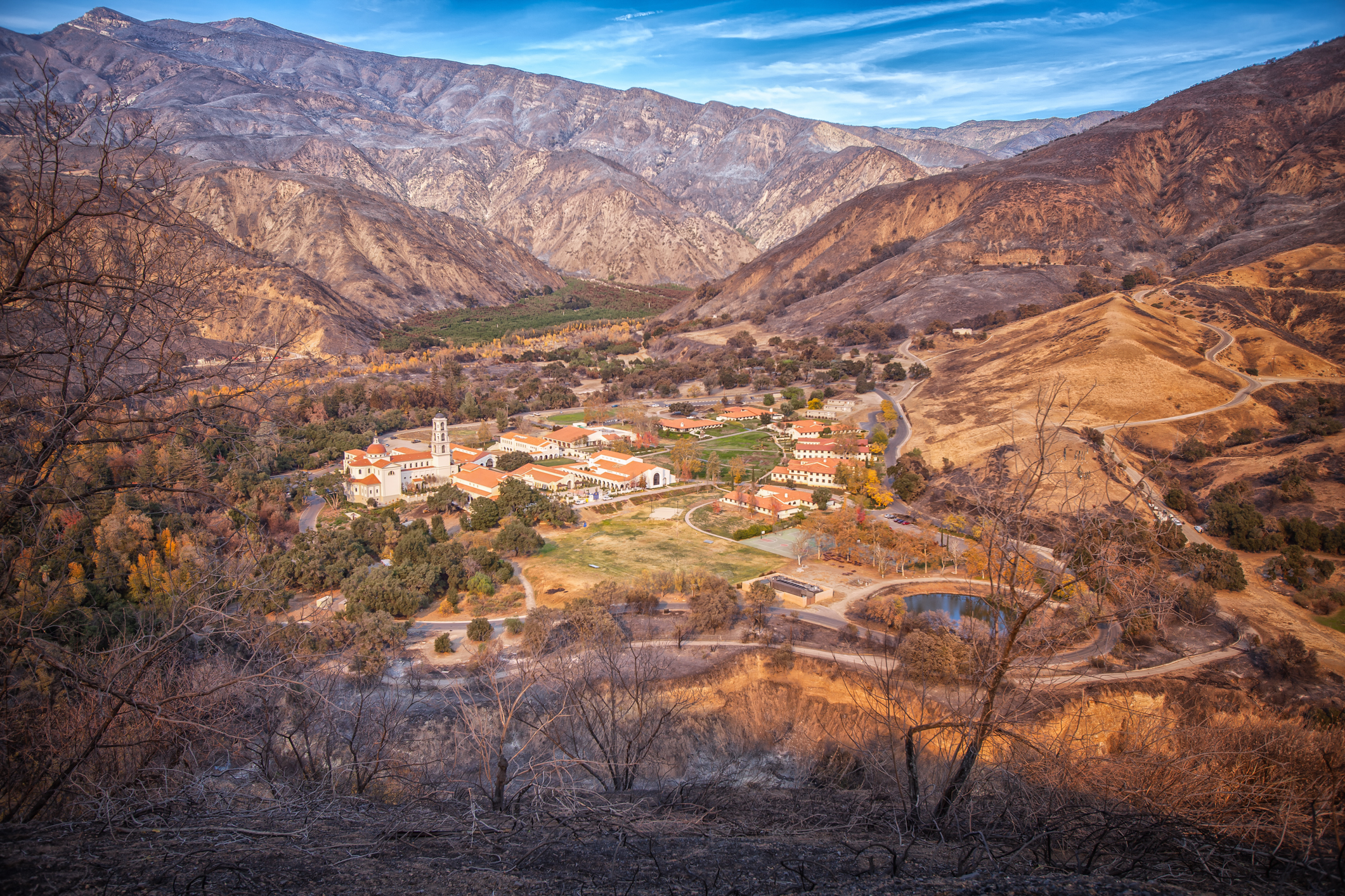
Thomas Aquinas College
Look Back (p)
Contact (p)
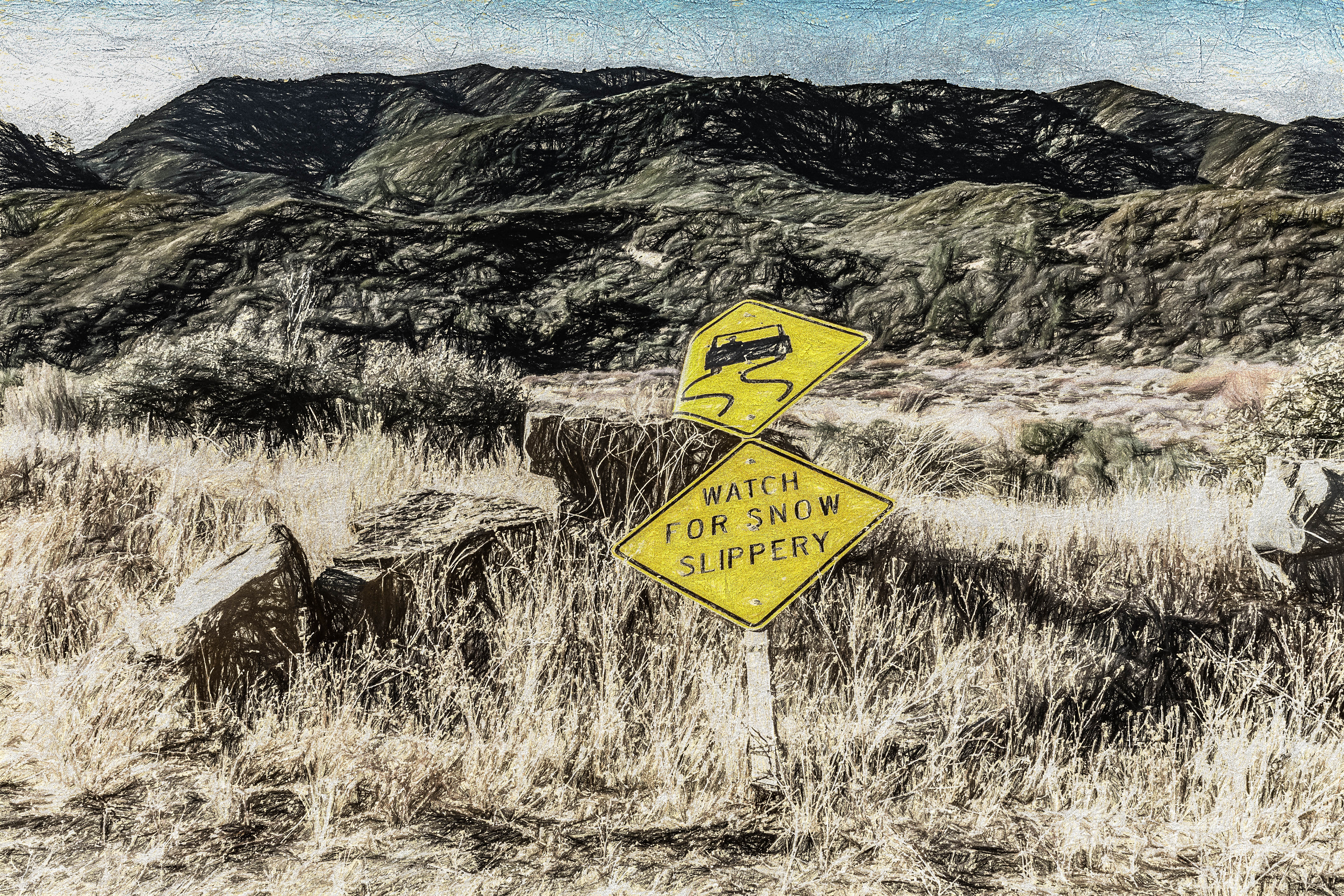
Bumps On The Road (p)
Green Tree
IMG_5818.jpg
IMG_5815.jpg
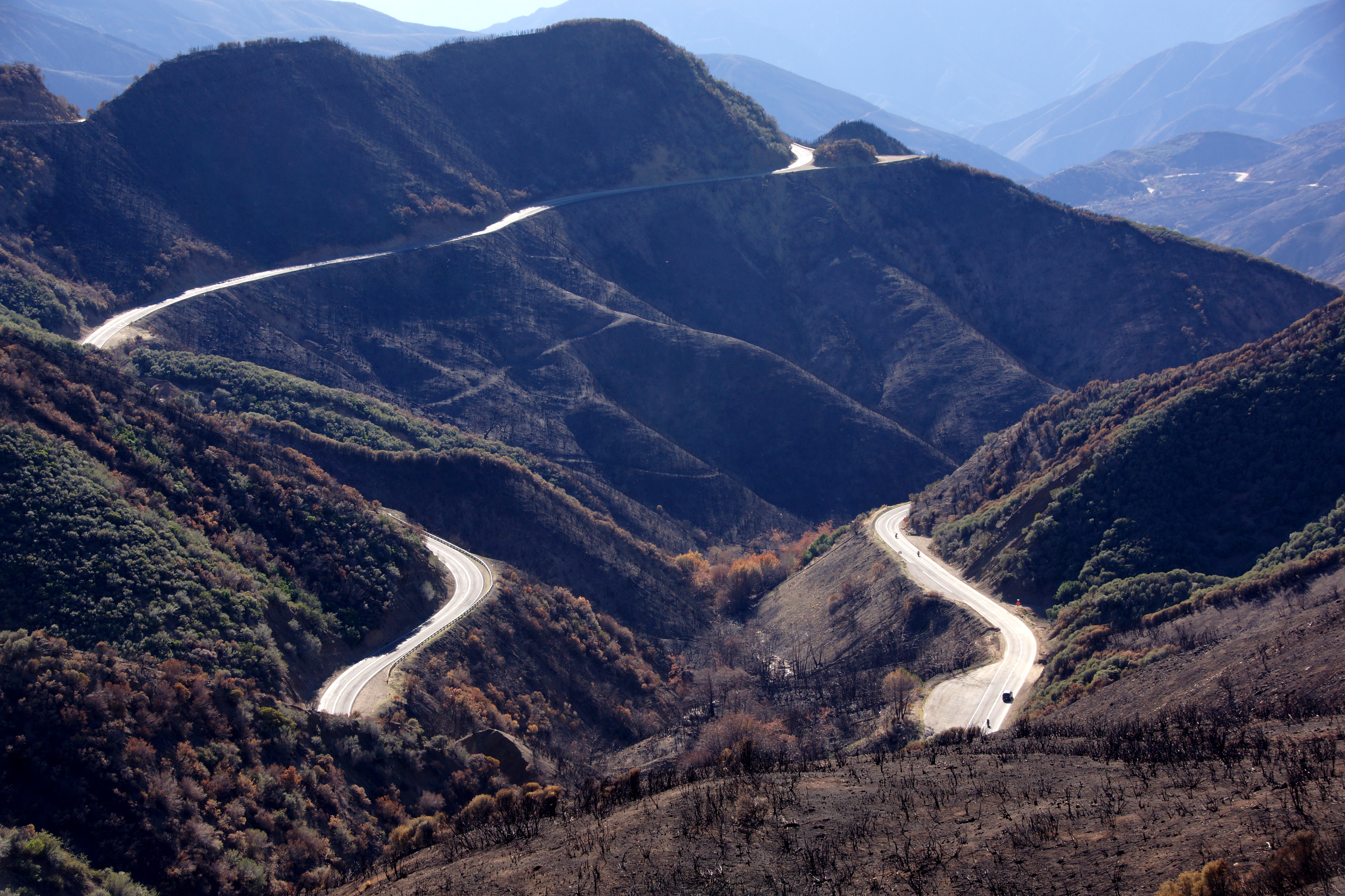
The road below
0204-143257a
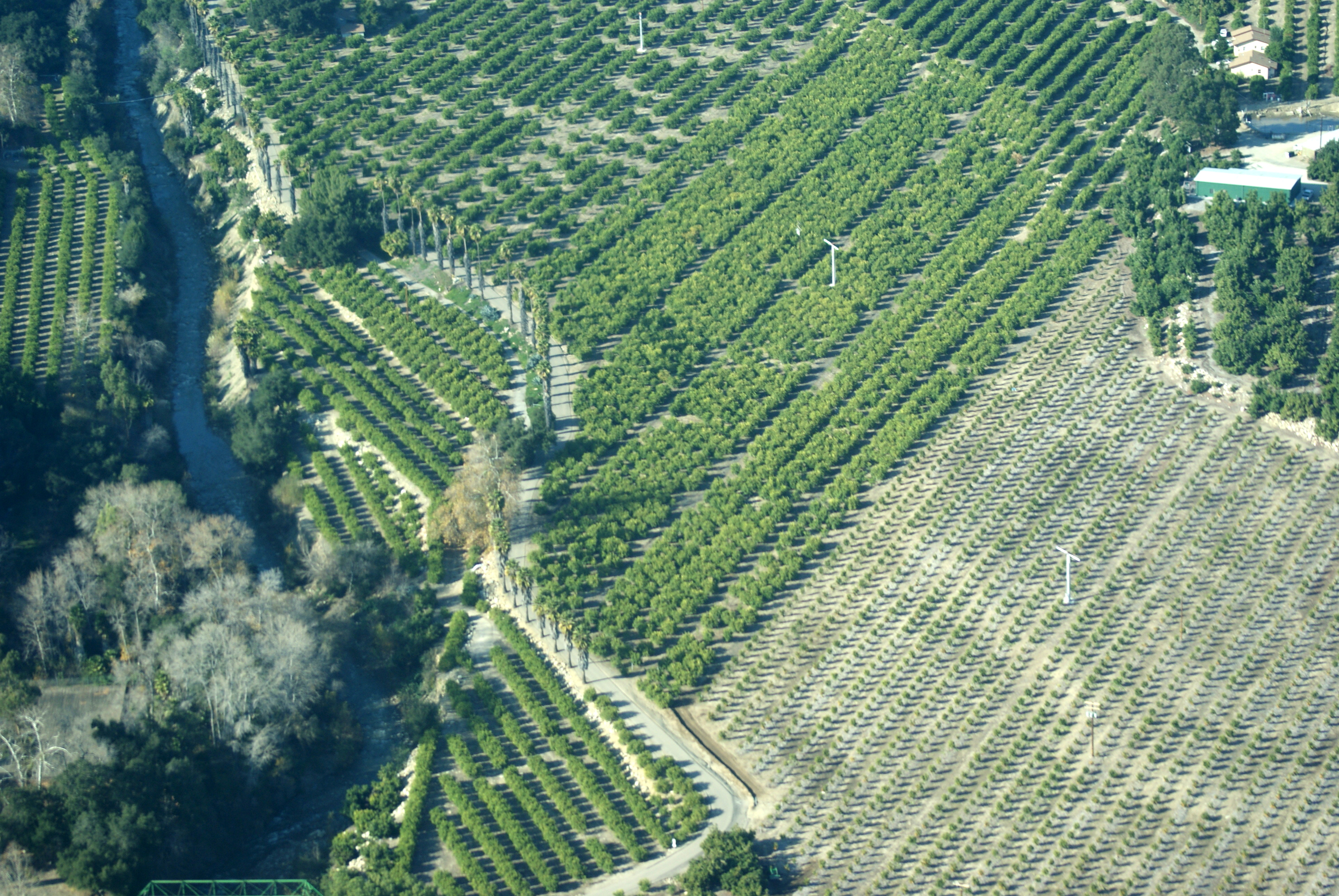
Los Padres Flight
20171229_170930-01
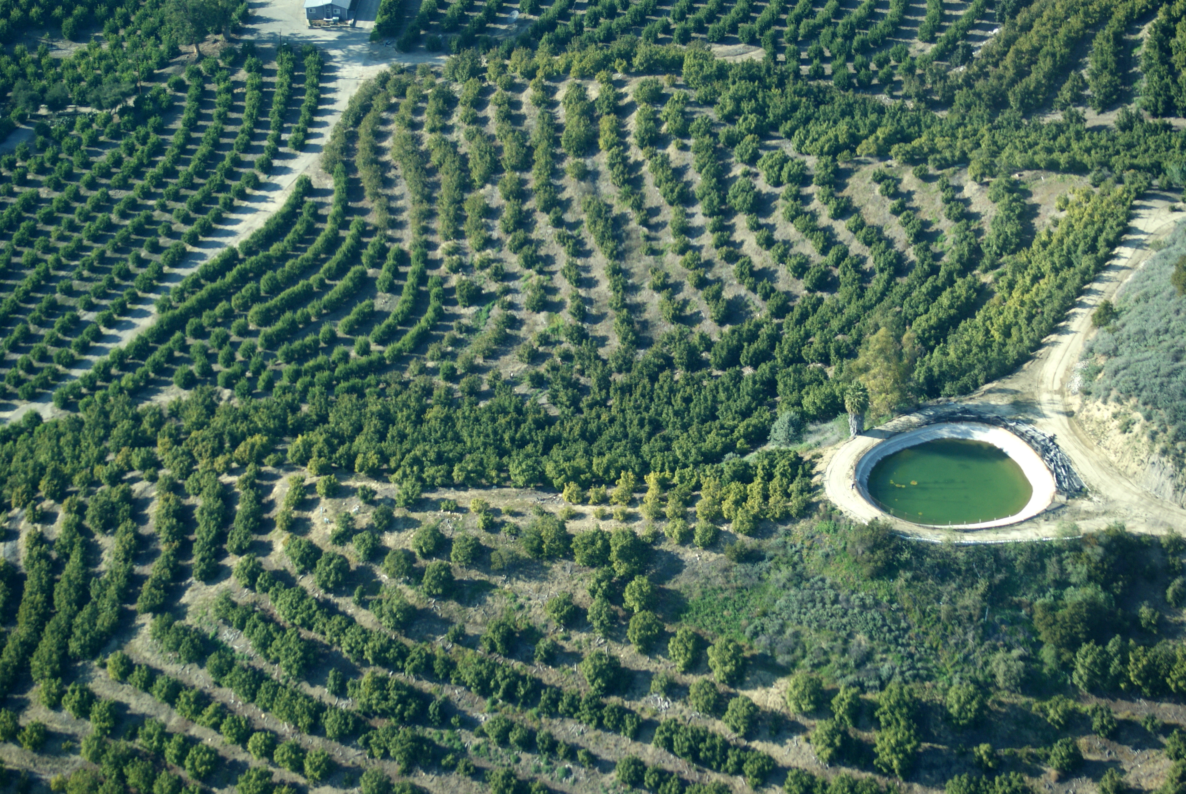
Los Padres Flight

0304-084442

Cloud Shadows, Los Padres National Forest
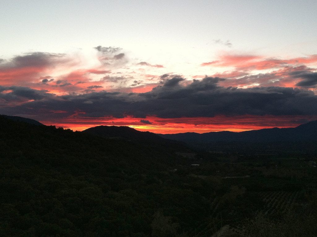
Ojai sunset from meditation Mount
Race For The High Country

At the #pool with the kids.
Topographic Map of Topatopa Bluff, California, USA
Find elevation by address:

Places near Topatopa Bluff, California, USA:
Sisar Rd, Ojai, CA, USA
Hines Peak
12617 Koenigstein Rd
Ojai Santa Paula Rd, Santa Paula, CA, USA
Ojai Santa Paula Rd, Santa Paula, CA, USA
11200 Topa Vista Rd
Topatopa Mountains
10600 N Ojai Rd
9599 N Ojai Rd
4255 Thacher Rd
4225 Thacher Rd
9342 N Ojai Rd
4308 Hendrickson Rd
Meher Mount
Thorn Point
Ventura County
California 150
930 La Vuelta Pl
15 Mckevett Heights
3500 Toland Rd
Recent Searches:
- Elevation of Crocker Dr, Vacaville, CA, USA
- Elevation of Pu Ngaol Community Meeting Hall, HWHM+3X7, Krong Saen Monourom, Cambodia
- Elevation of Royal Ontario Museum, Queens Park, Toronto, ON M5S 2C6, Canada
- Elevation of Groblershoop, South Africa
- Elevation of Power Generation Enterprises | Industrial Diesel Generators, Oak Ave, Canyon Country, CA, USA
- Elevation of Chesaw Rd, Oroville, WA, USA
- Elevation of N, Mt Pleasant, UT, USA
- Elevation of 6 Rue Jules Ferry, Beausoleil, France
- Elevation of Sattva Horizon, 4JC6+G9P, Vinayak Nagar, Kattigenahalli, Bengaluru, Karnataka, India
- Elevation of Great Brook Sports, Gold Star Hwy, Groton, CT, USA