Elevation of Santa Paula, CA, USA
Location: United States > California > Ventura County >
Longitude: -119.05927
Latitude: 34.3541659
Elevation: 84m / 276feet
Barometric Pressure: 100KPa
Elevation Map:
Satellite Map:
Related Photos:
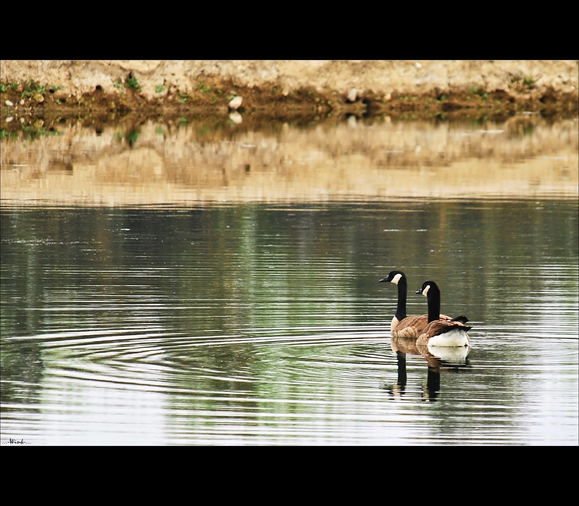
Goose me

Wild Sunflower

Meditation Mount, Ojai California
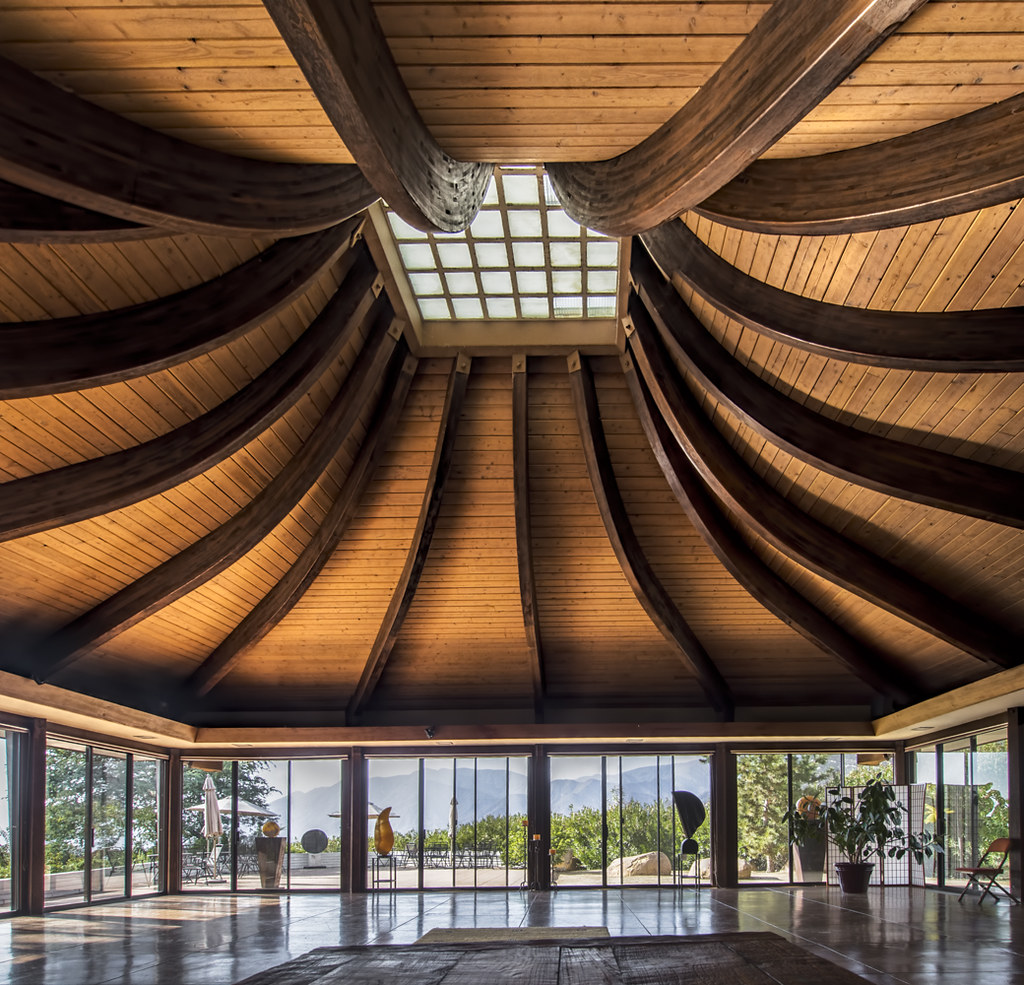
The Auditorium at Meditation Mount (HDR)
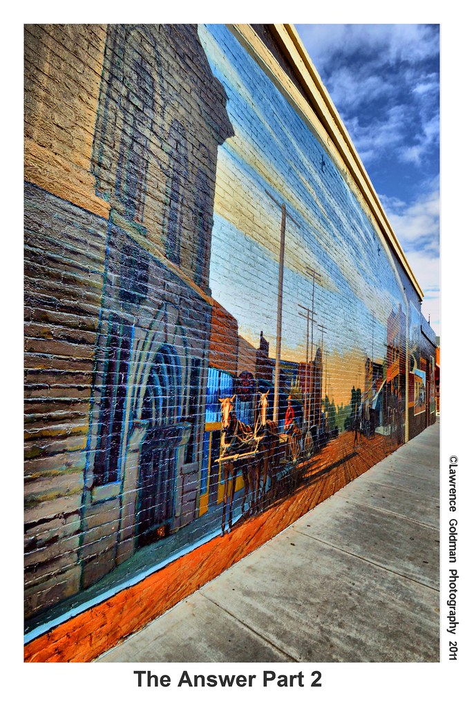
The Answer Part 2 hdr

Throwdown Response

Rudolph the Red Nosed Airplane
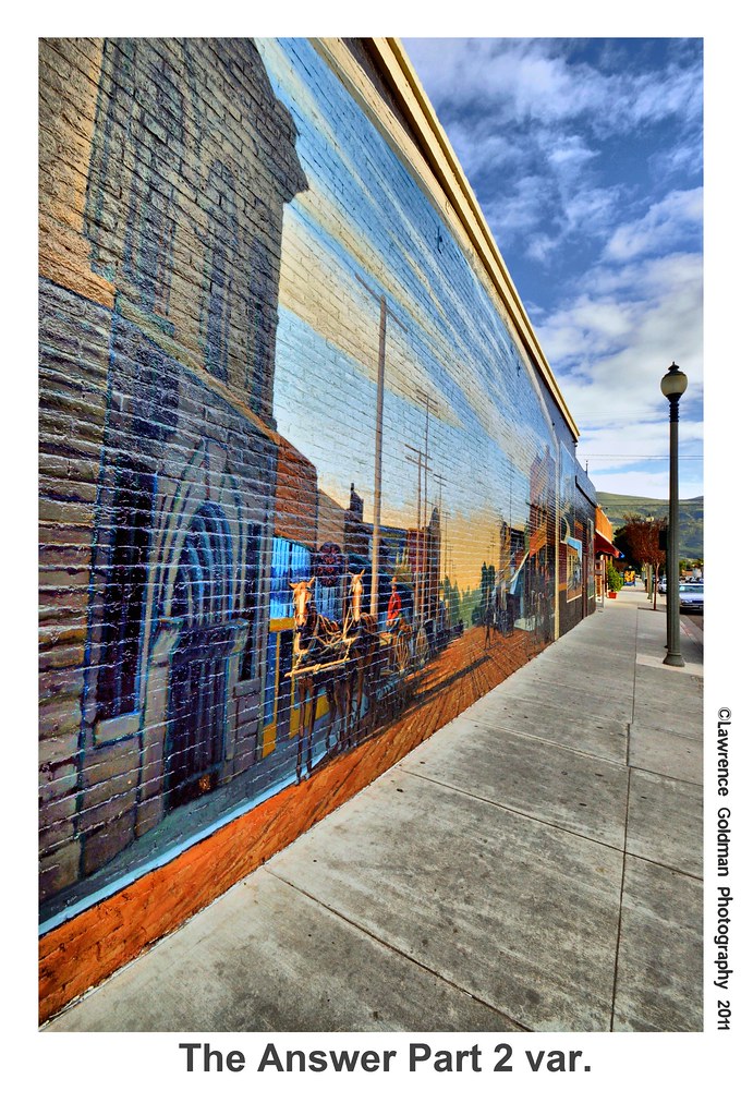
The Answer Part 2 var hdr
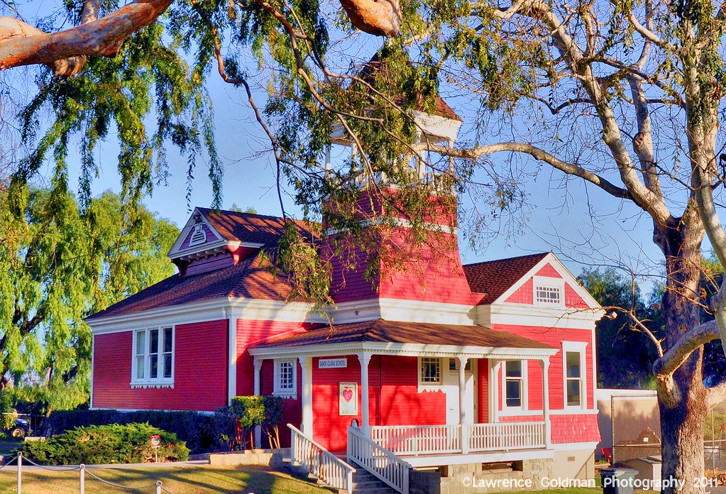
Little Red Schoolhouse -- Santa Clara School
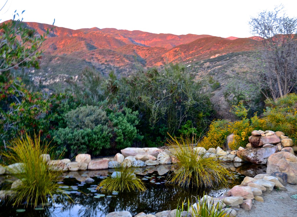
Meditation Mount, Nordhoff ridge, Ojai, sunset views

"Come Fly With Me.....

front view
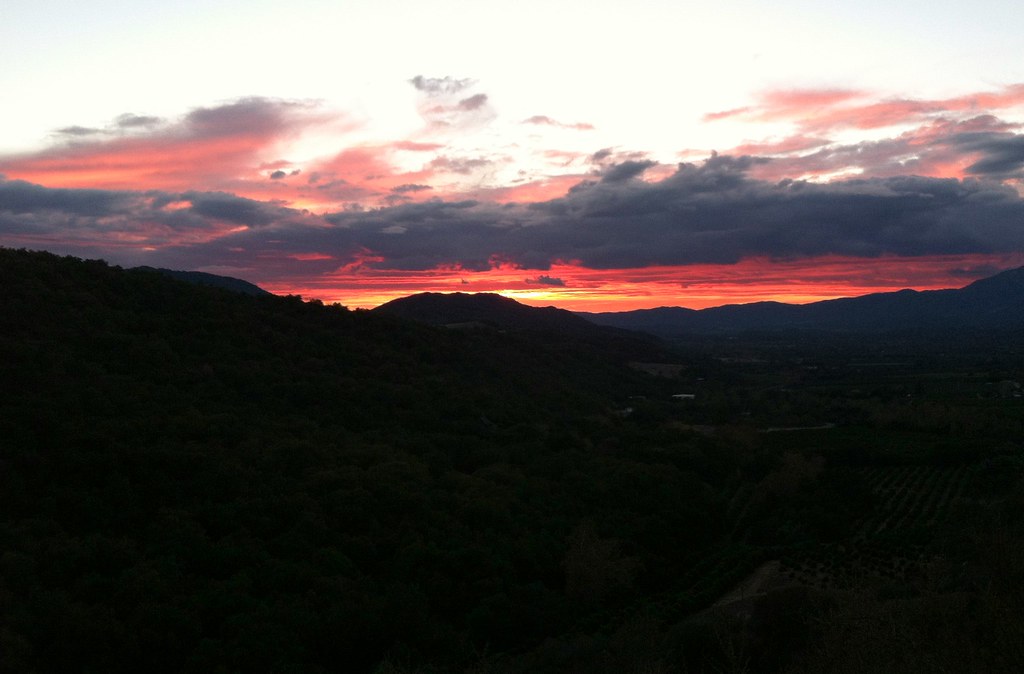
Ojai Sunset

Meditation Mount, Nordhoff ridge, Ojai, sunset views
Meditation Mount, Nordhoff ridge, Ojai, sunset views

Under the Top Wing of a Yellow Stearman Bi-Plane hdr

Great Horned Owl Feather
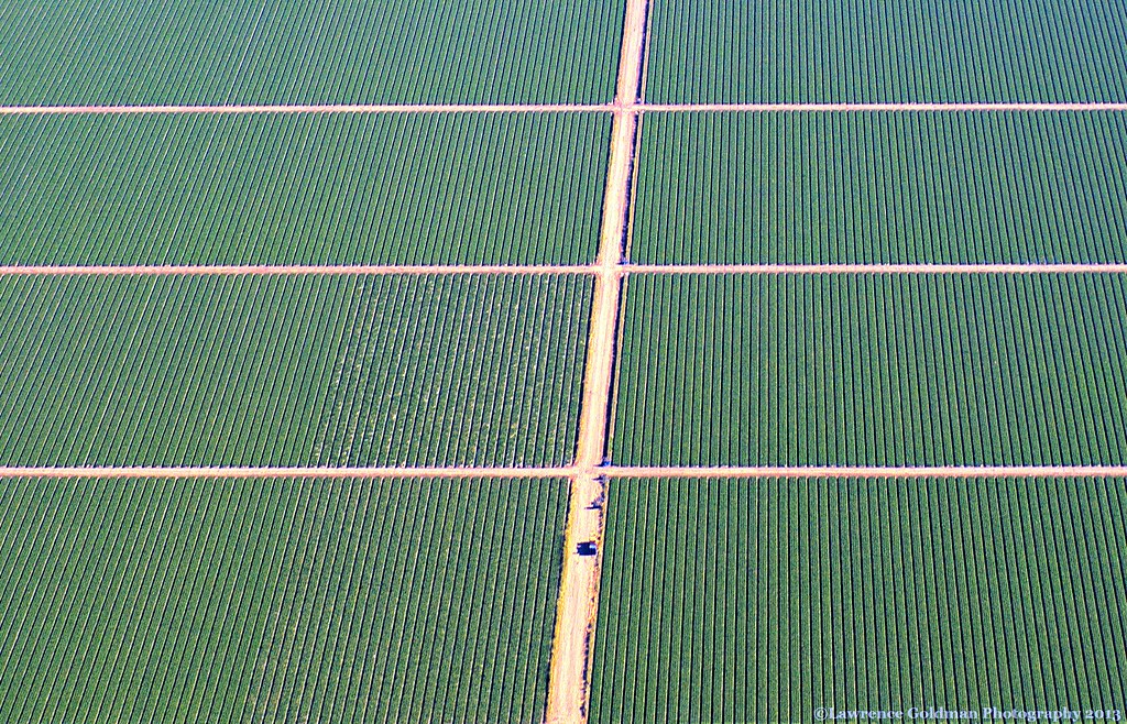
Rows of Green Veggies

Chair With A View
Meditation Mount, Nordhoff ridge, Ojai, sunset views

Meditation Mount, Nordhoff ridge, Ojai, sunset views
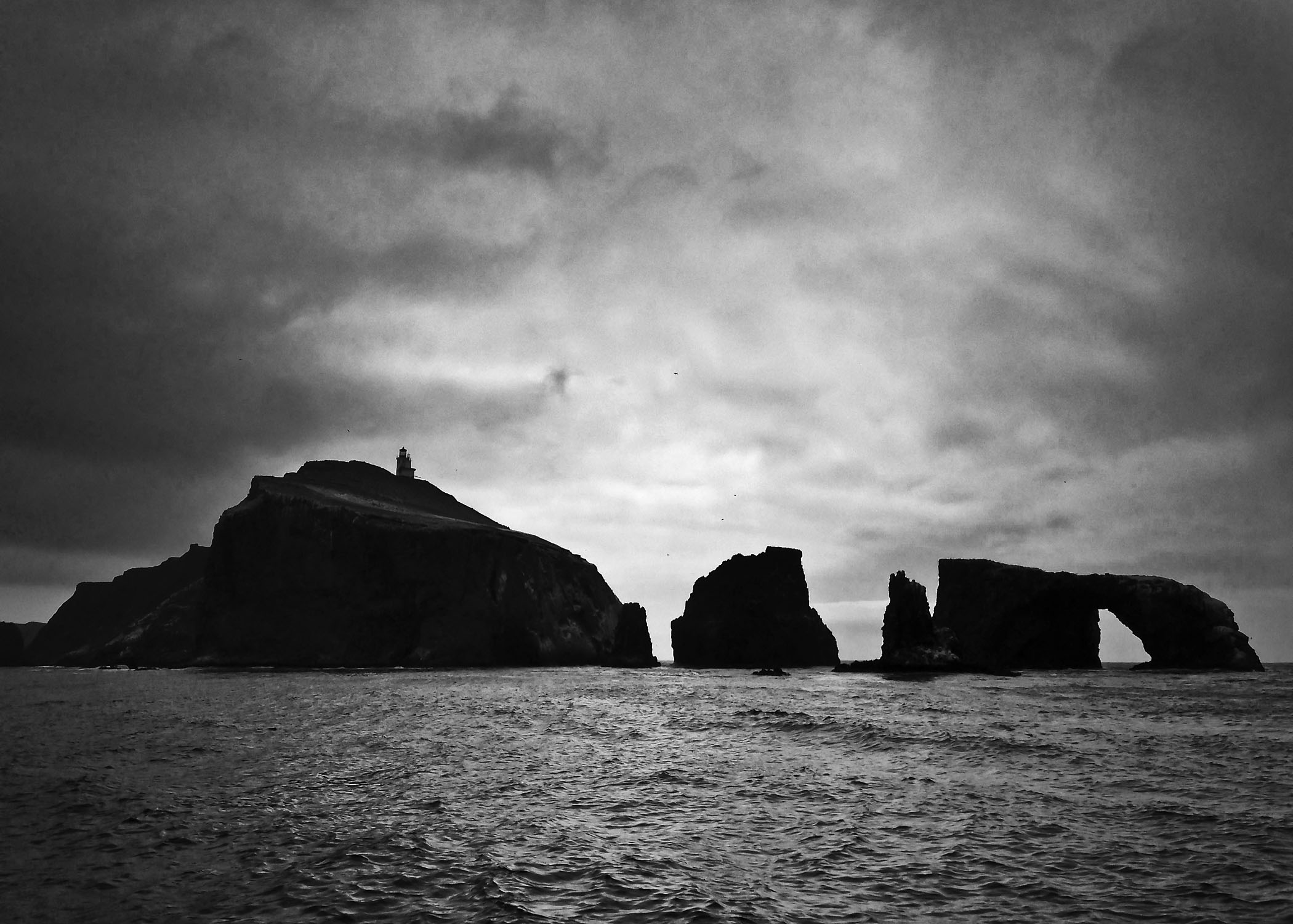
Anacapa Island

My Day Off
IMG_5815.jpg
Picnic Anyone?
St Paul's...

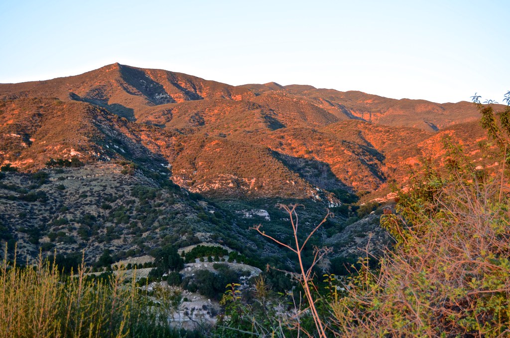
Ventura Foothills

Ojai, CA
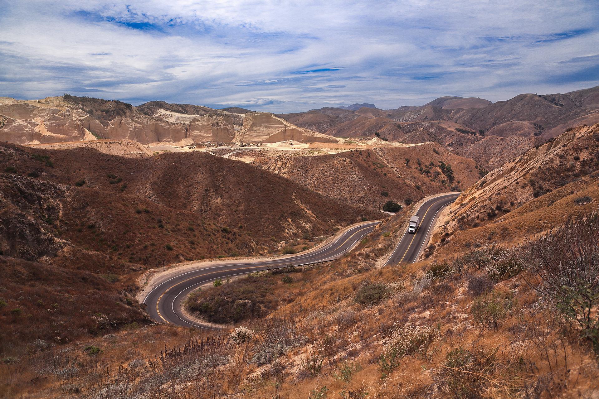
Grimes Canyon Road

Pink mountains. #ojai #hike #sunset #latergram

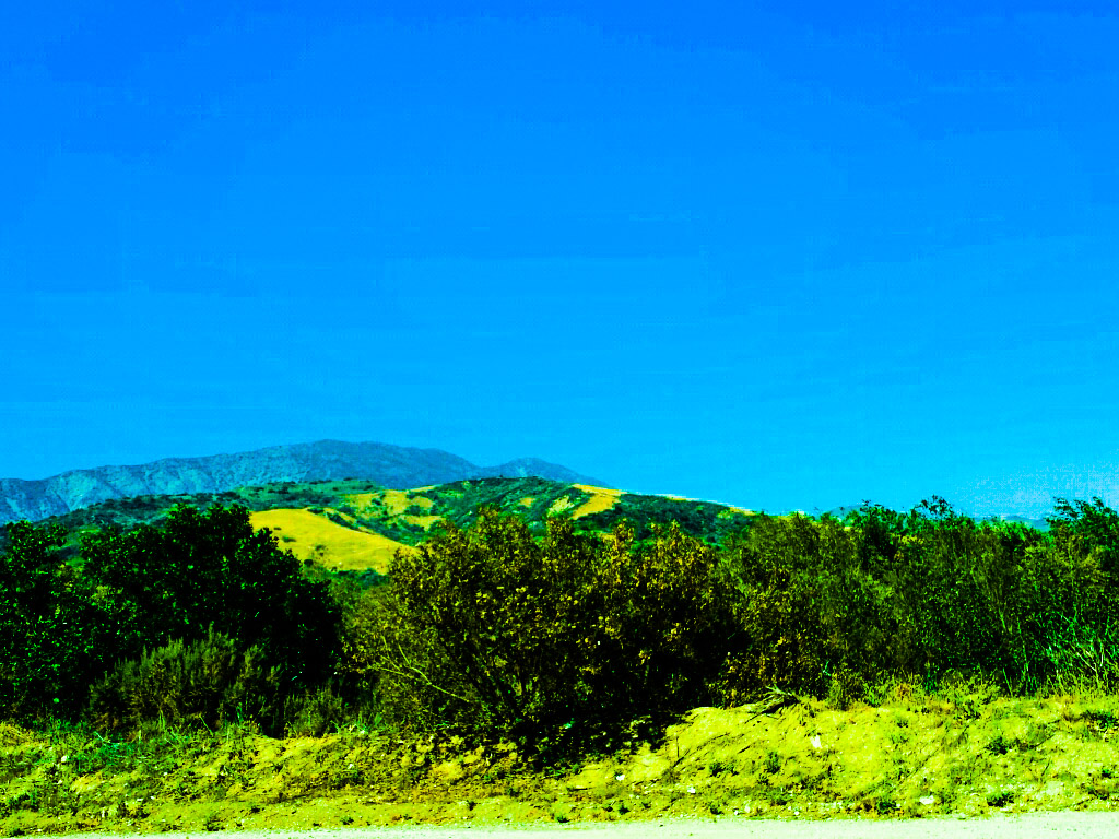
Black Mountain Ranch Mustard
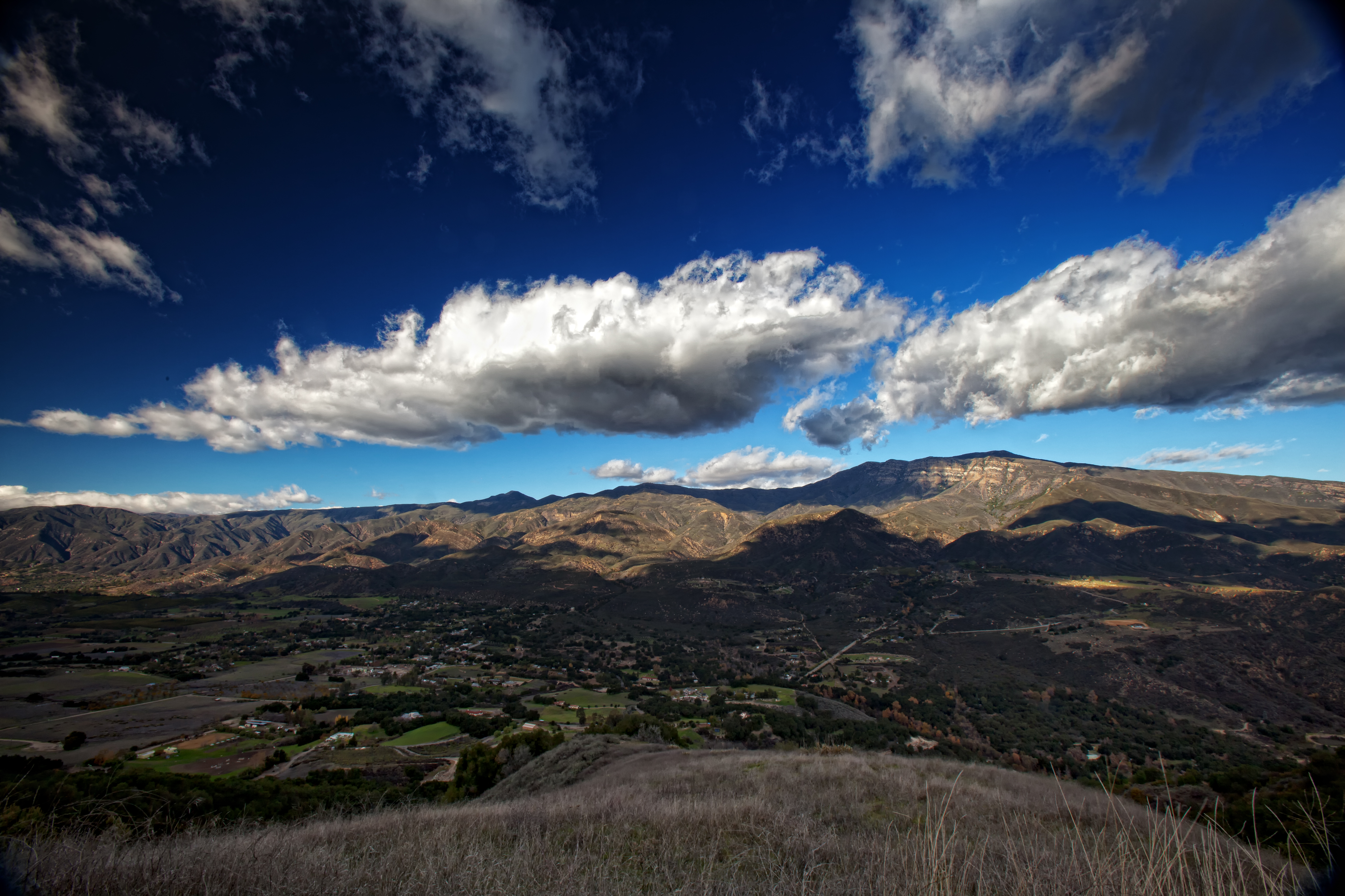
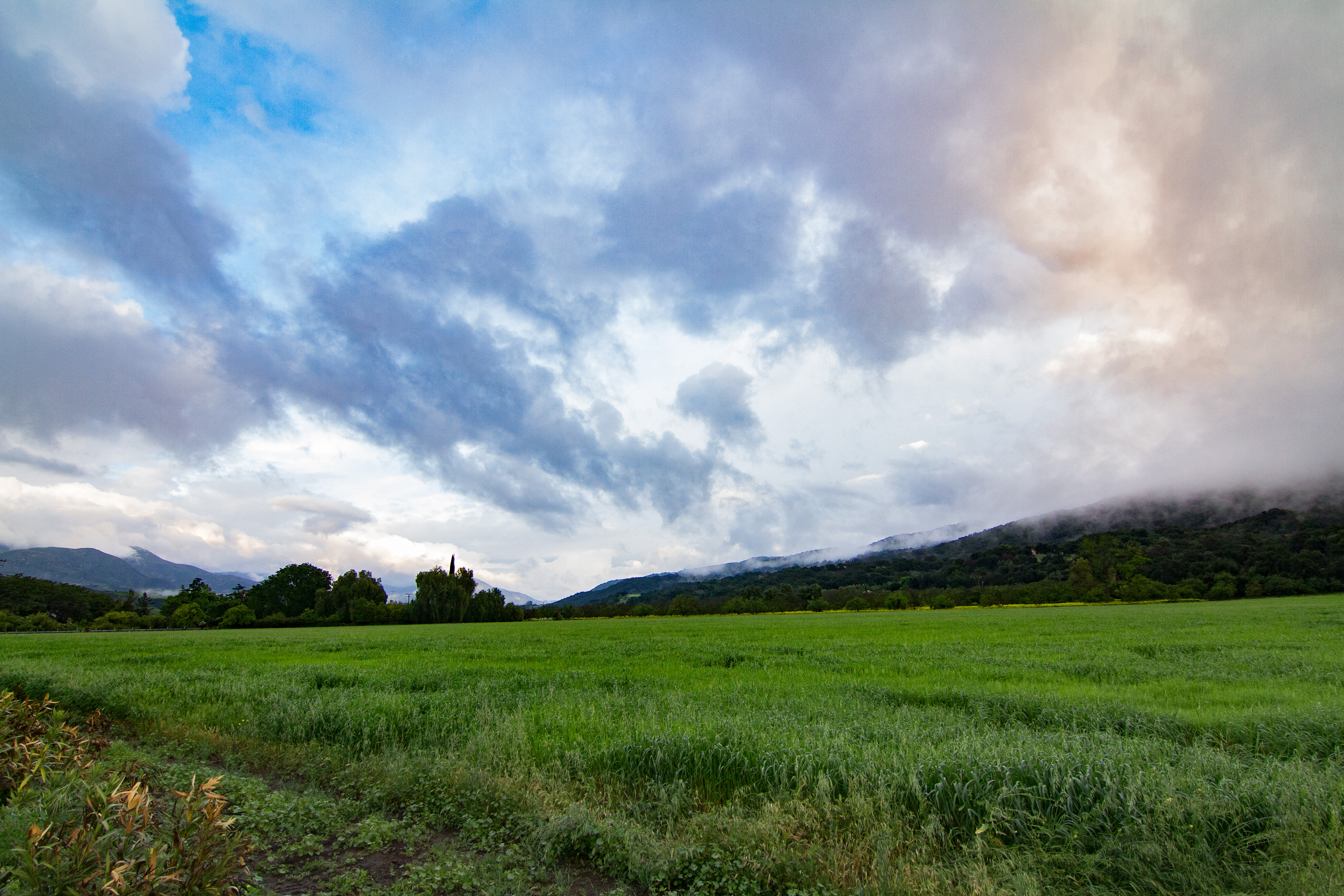
Upper Ojai Valley

1977 Cessna 150m N714HH
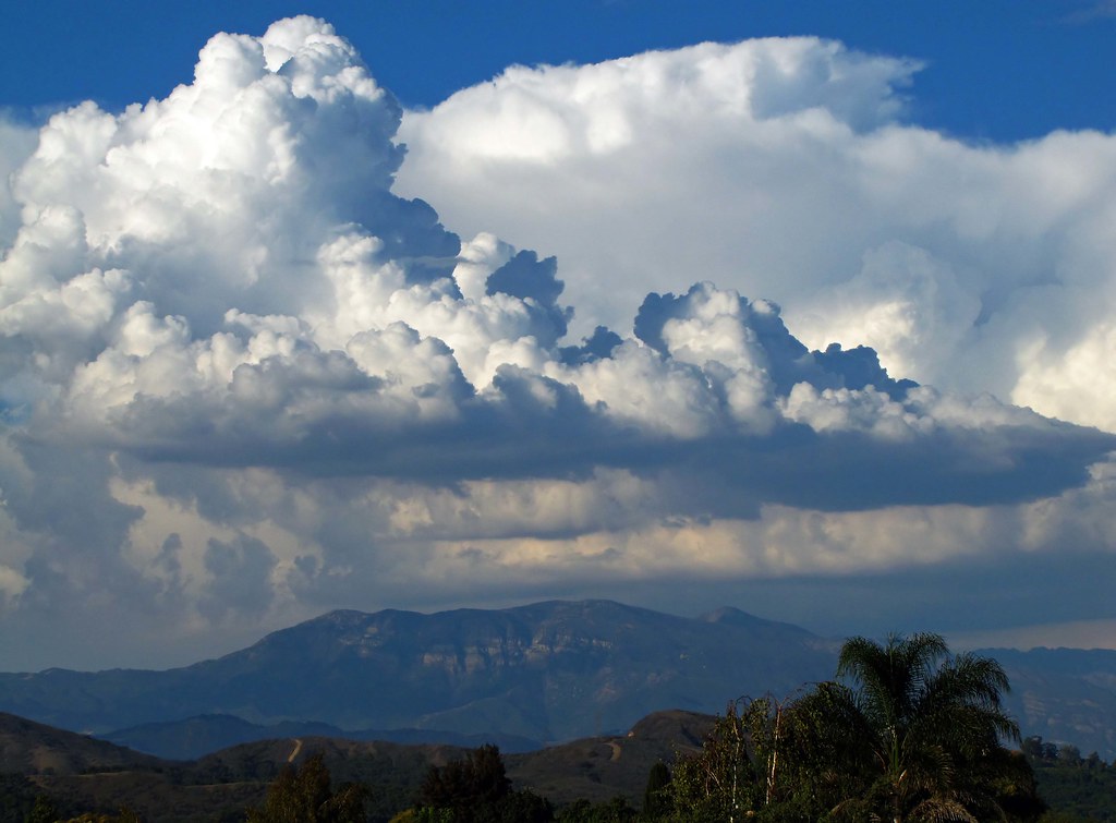
Thunderheads Over Topa Topa

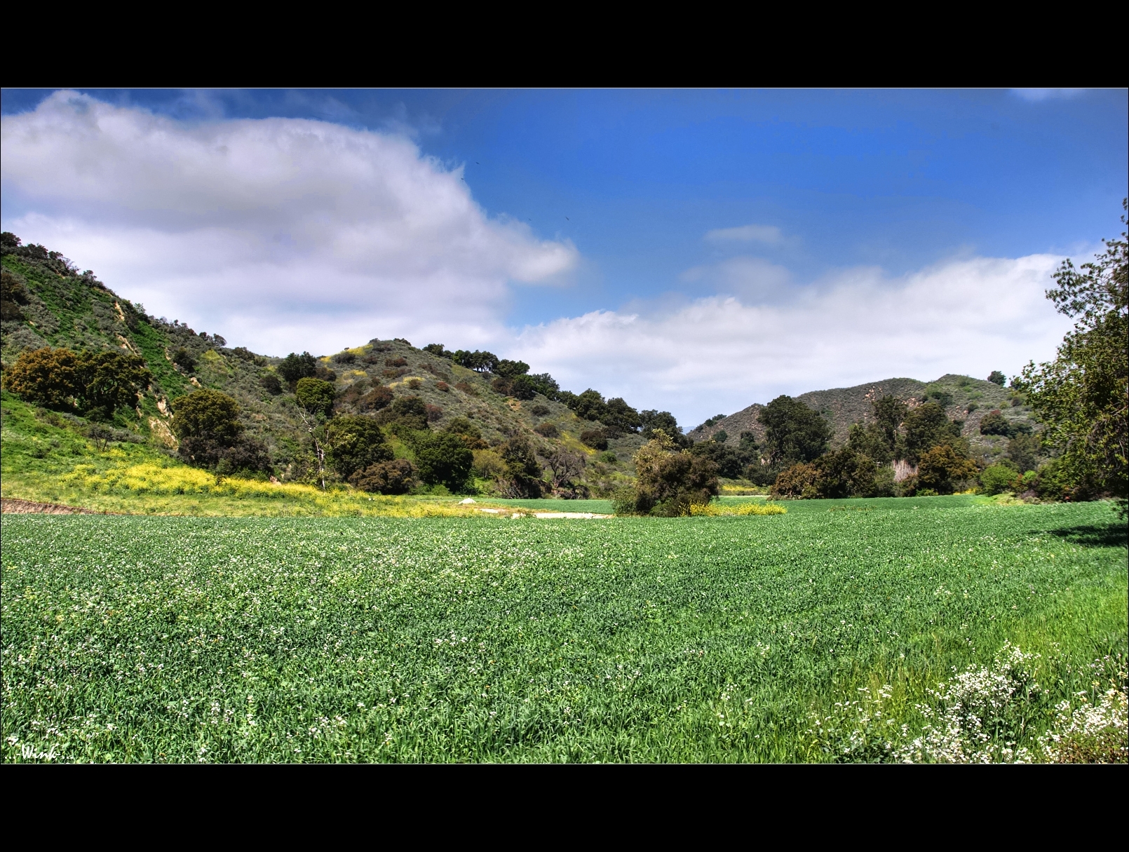
Fields of Friends
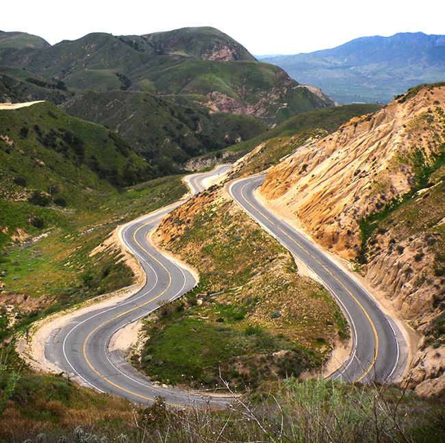
Grimes Canyon
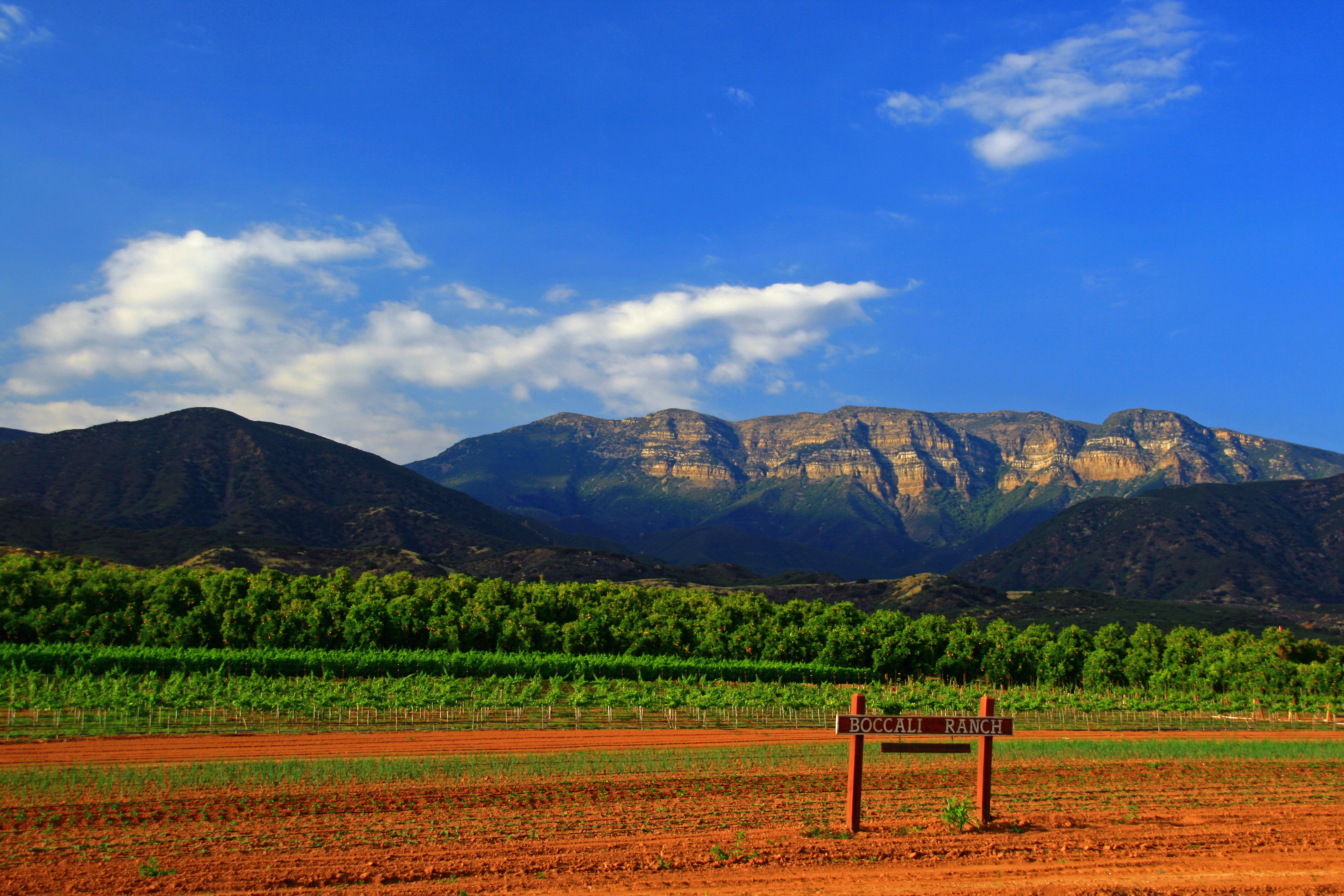
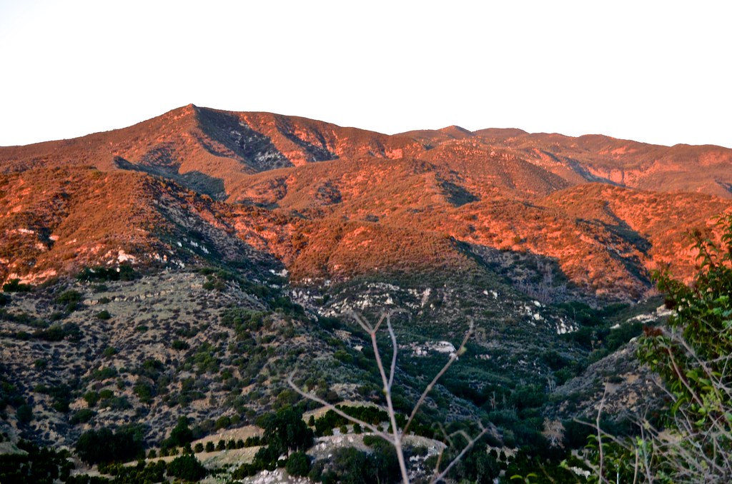
Topa Topa Bluffs

Tennis Anyone?

Balcom Canyon
Topographic Map of Santa Paula, CA, USA
Find elevation by address:

Places in Santa Paula, CA, USA:
Ojai Santa Paula Rd, Santa Paula, CA, USA
Ojai Santa Paula Rd, Santa Paula, CA, USA
West Telegraph Road, Santa Paula, CA, USA
Cummings Rd, Santa Paula, CA, USA
Topatopa Mountains
Topatopa Bluff
Places near Santa Paula, CA, USA:
930 La Vuelta Pl
15 Mckevett Heights
343 Tirre Ct
312 Sheppard Rd
920 Corporation St
West Telegraph Road, Santa Paula, CA, USA
Balcom Canyon Road
Cummings Rd, Santa Paula, CA, USA
Ojai Santa Paula Rd, Santa Paula, CA, USA
Ventura County
3500 Toland Rd
Ojai Santa Paula Rd, Santa Paula, CA, USA
7675 Bradley Rd
11200 Topa Vista Rd
Keith Rd, Fillmore, CA, USA
245 Apple Ave
12617 Koenigstein Rd
Meher Mount
443 Alpine Ave
438 Plumas Ave
Recent Searches:
- Elevation of Slanický ostrov, 01 Námestovo, Slovakia
- Elevation of Spaceport America, Co Rd A, Truth or Consequences, NM, USA
- Elevation of Warwick, RI, USA
- Elevation of Fern Rd, Whitmore, CA, USA
- Elevation of 62 Abbey St, Marshfield, MA, USA
- Elevation of Fernwood, Bradenton, FL, USA
- Elevation of Felindre, Swansea SA5 7LU, UK
- Elevation of Leyte Industrial Development Estate, Isabel, Leyte, Philippines
- Elevation of W Granada St, Tampa, FL, USA
- Elevation of Pykes Down, Ivybridge PL21 0BY, UK