Elevation of Sheppard Rd, Santa Paula, CA, USA
Location: United States > California > Ventura County > Santa Paula >
Longitude: -119.08823
Latitude: 34.3429196
Elevation: 77m / 253feet
Barometric Pressure: 100KPa
Elevation Map:
Satellite Map:
Related Photos:

PBJ...another view

Throwdown Response

Under the Top Wing of a Yellow Stearman Bi-Plane hdr

Just One Tree
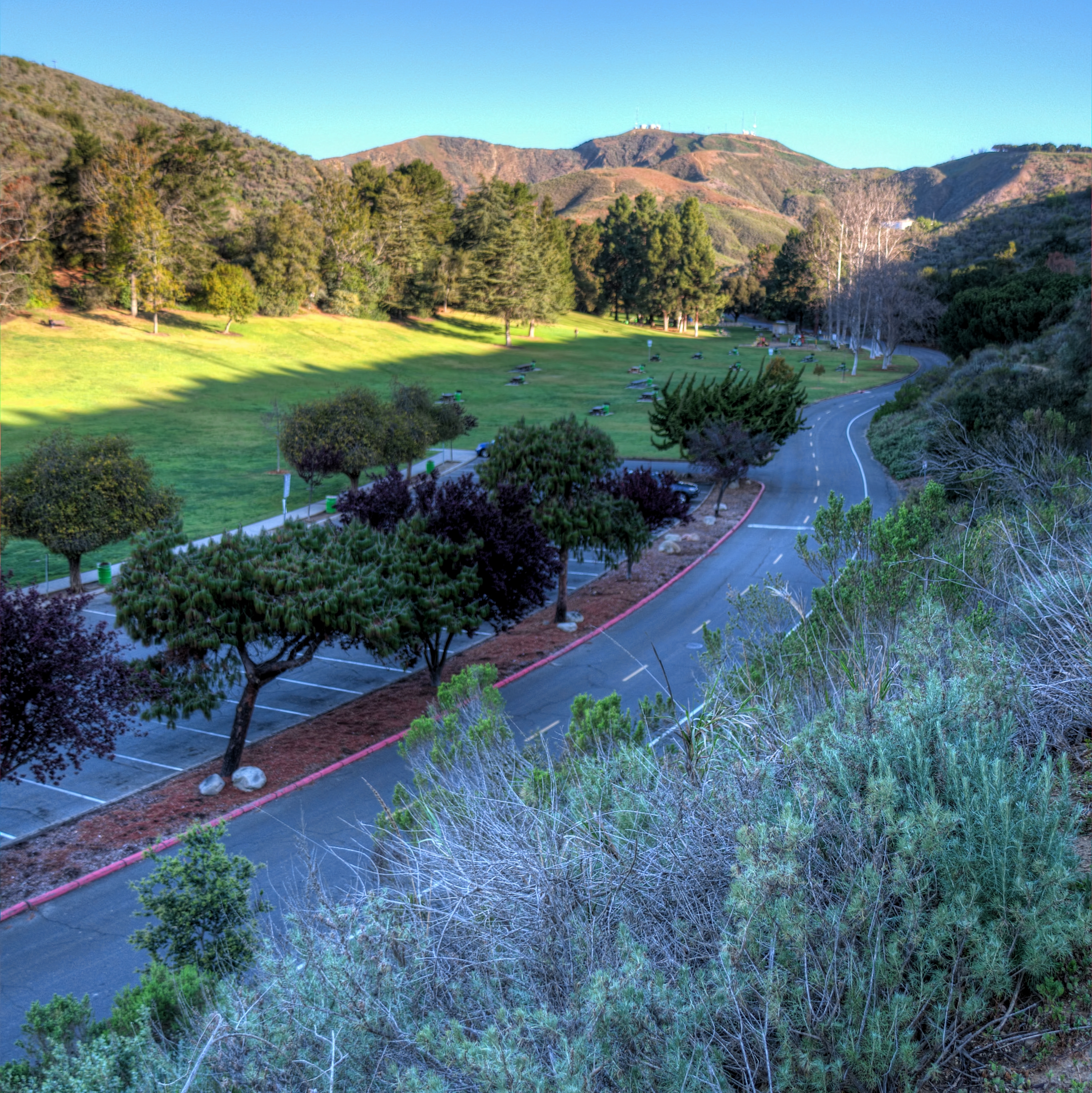
Arroyo Verde, Two

Ribbed Slate Fountain

Shapes and Colors
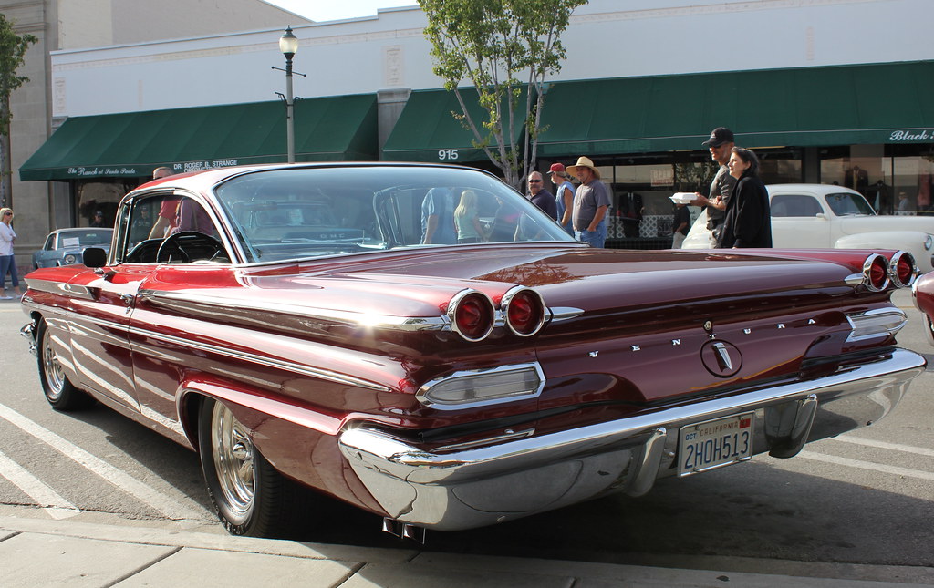
Rear Angle View Of A Pristine 1960 Pontiac Ventura
Old Bitter Man

The Auditorium at Meditation Mount (HDR)

P-51 front view

The Answer Part 2 hdr
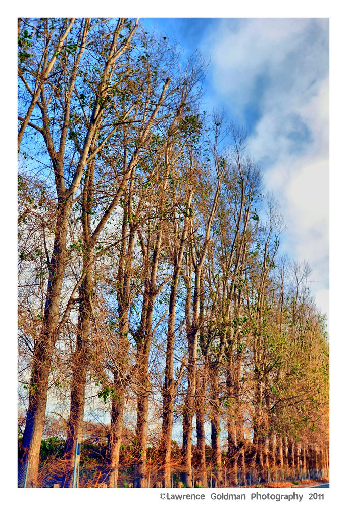
Tree Line hdr
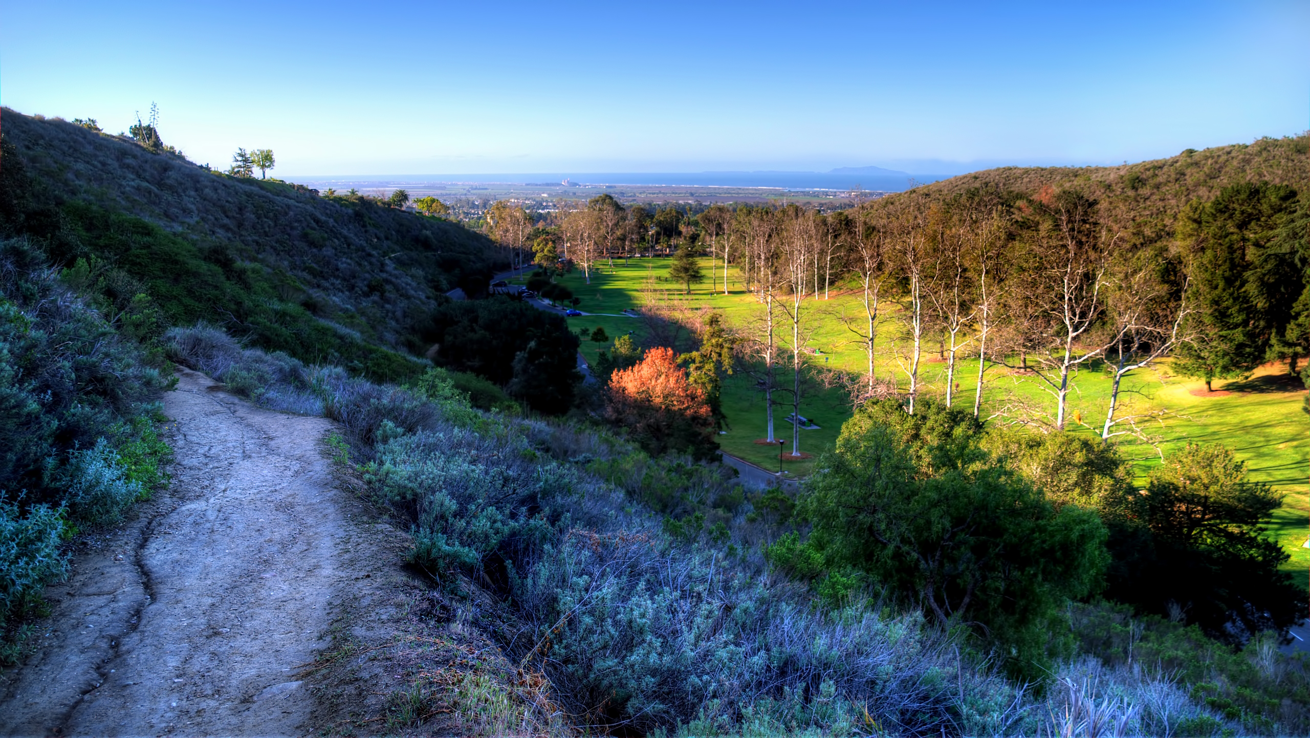
Arroyo Verde Park, three

"I'm Defying Gravity"
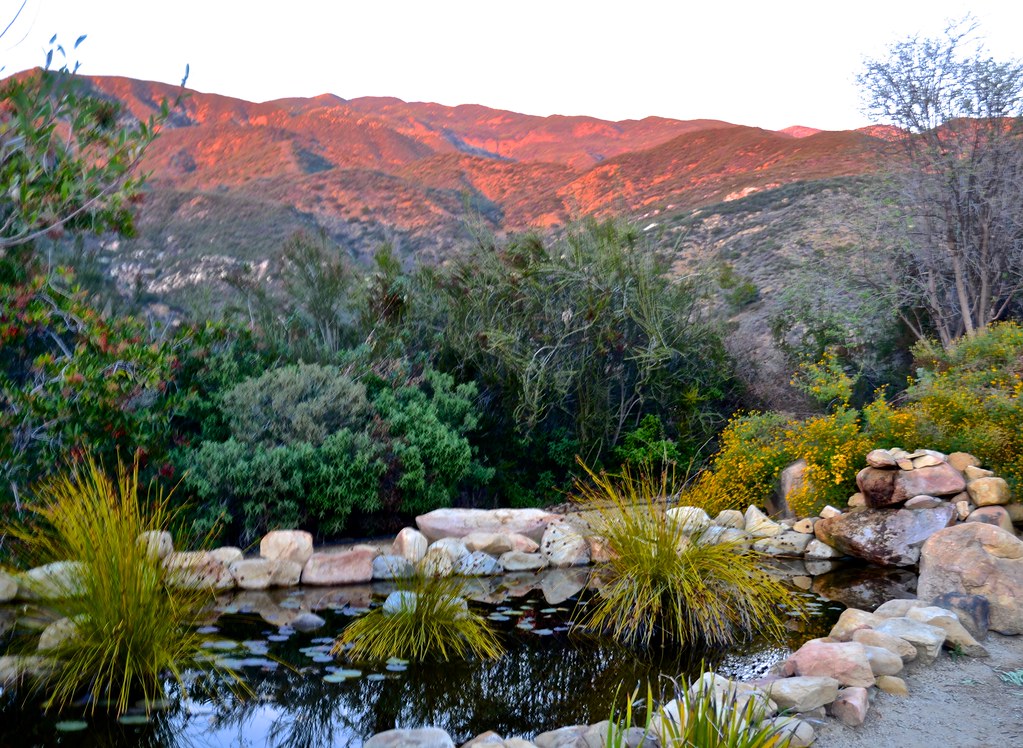
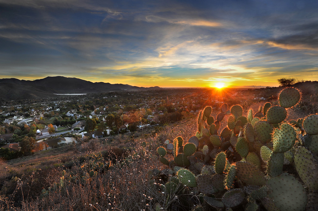
Meditation Mount, Nordhoff ridge, Ojai, sunset views

Rudolph the Red Nosed Airplane

"Come Fly With Me.....
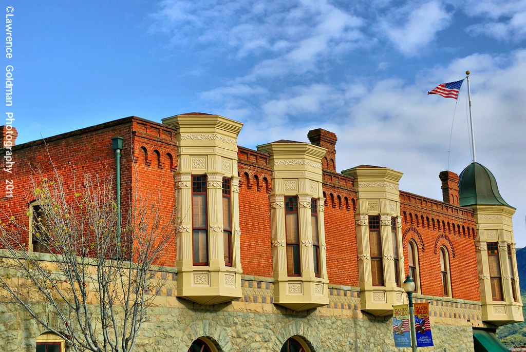
Brick Work and Windows Oil Museum Santa Paula hdr
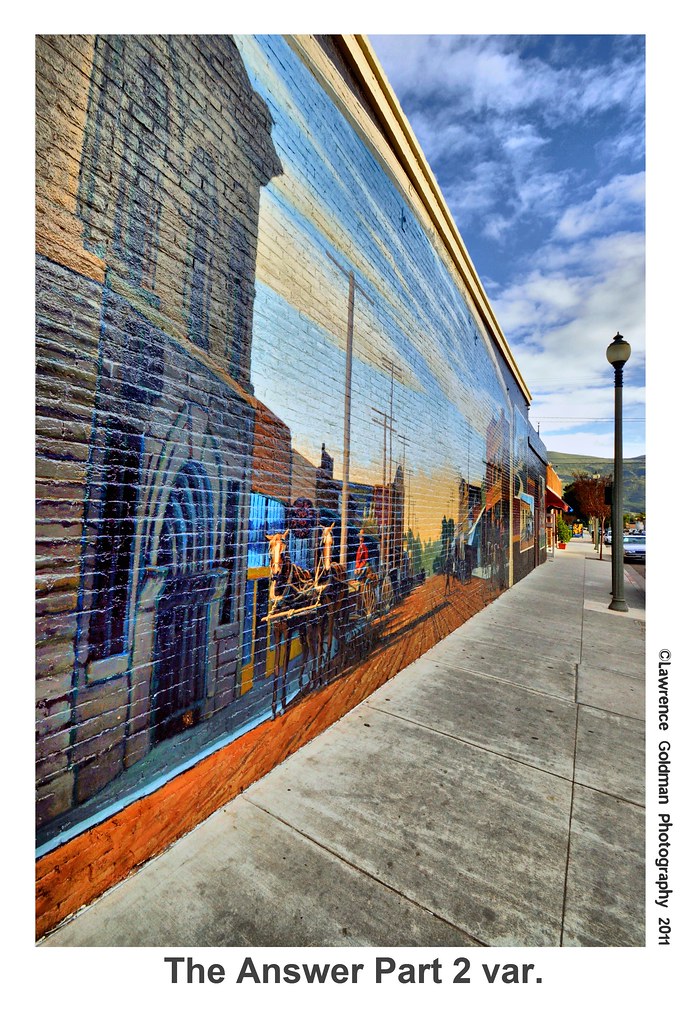
The Answer Part 2 var hdr
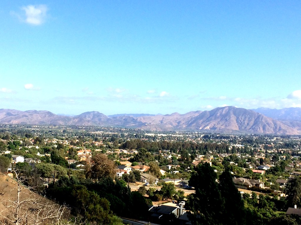
SCW view
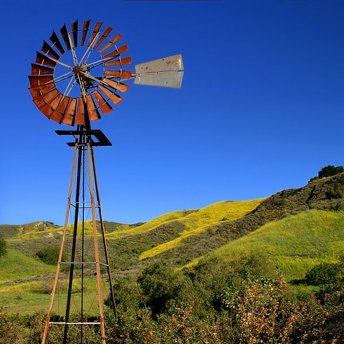
Windmill (6884-88)

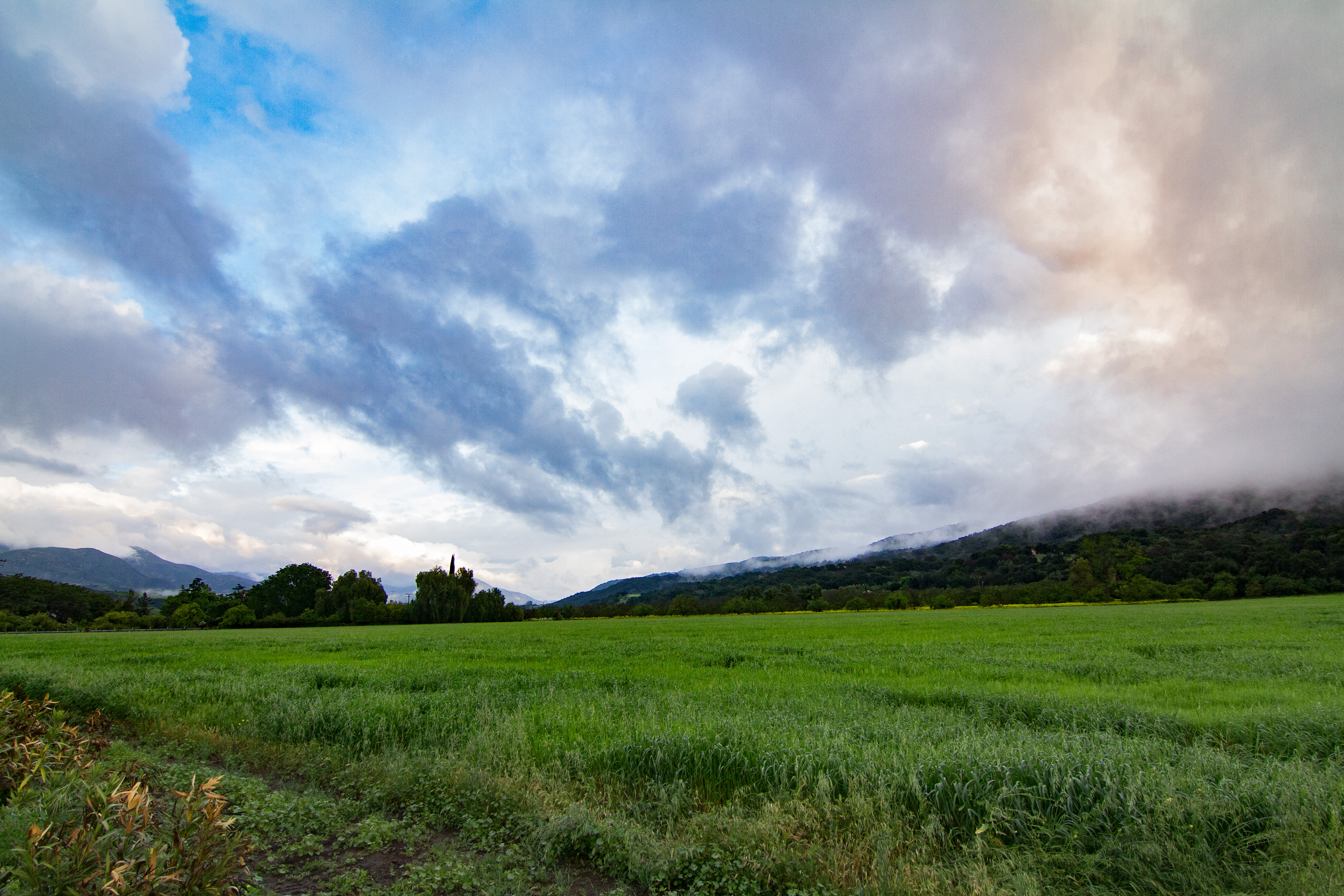
Black Mountain Ranch Mustard
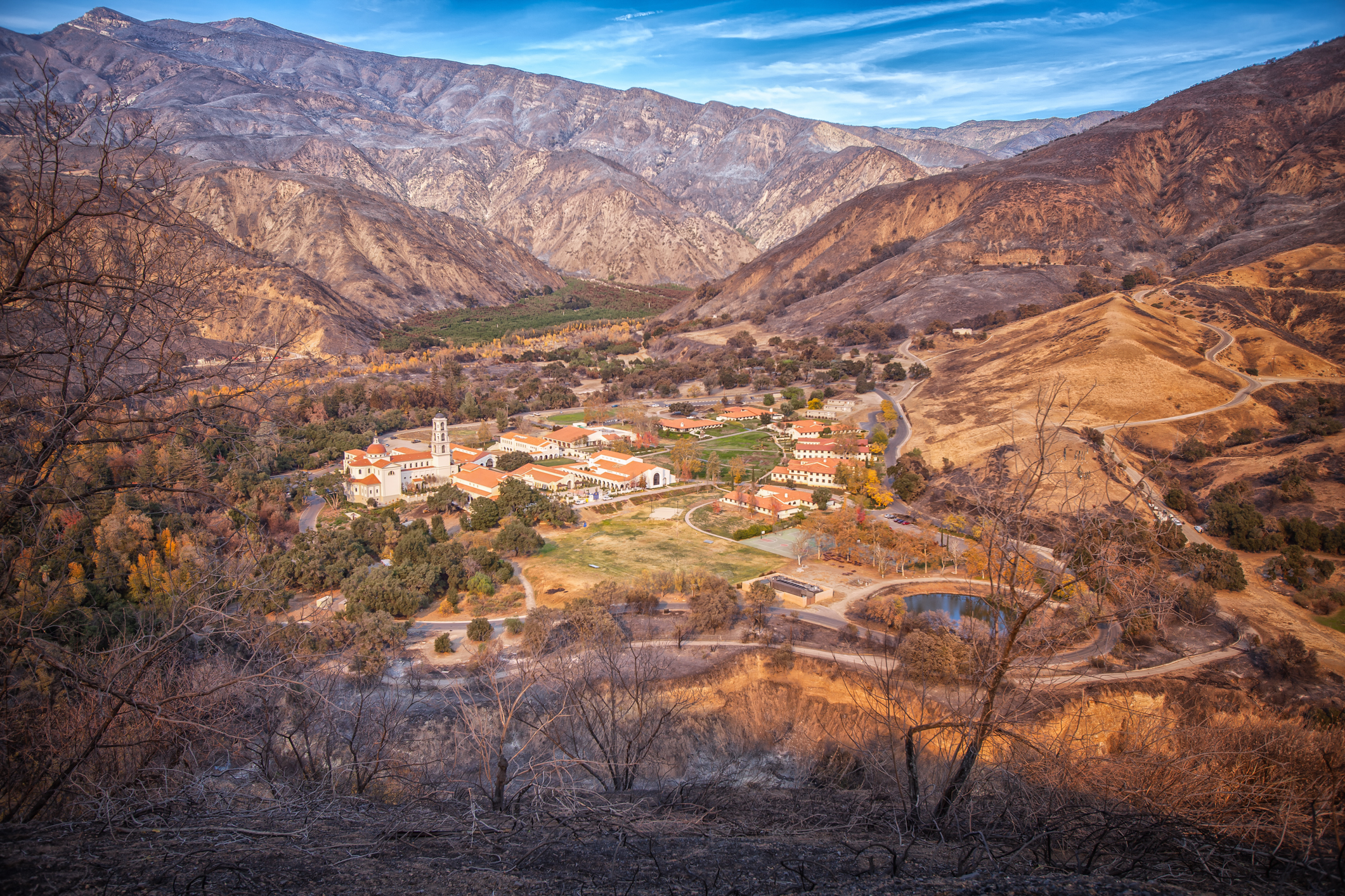
Thomas Aquinas College

1977 Cessna 150m N714HH

Anacapa Island
IMG_5815.jpg

apricot orchard...a winter view

Two Trees
Aerial Flight with Mark

Tennis Anyone?
Aerial Flight with Mark
Aerial Flight with Mark

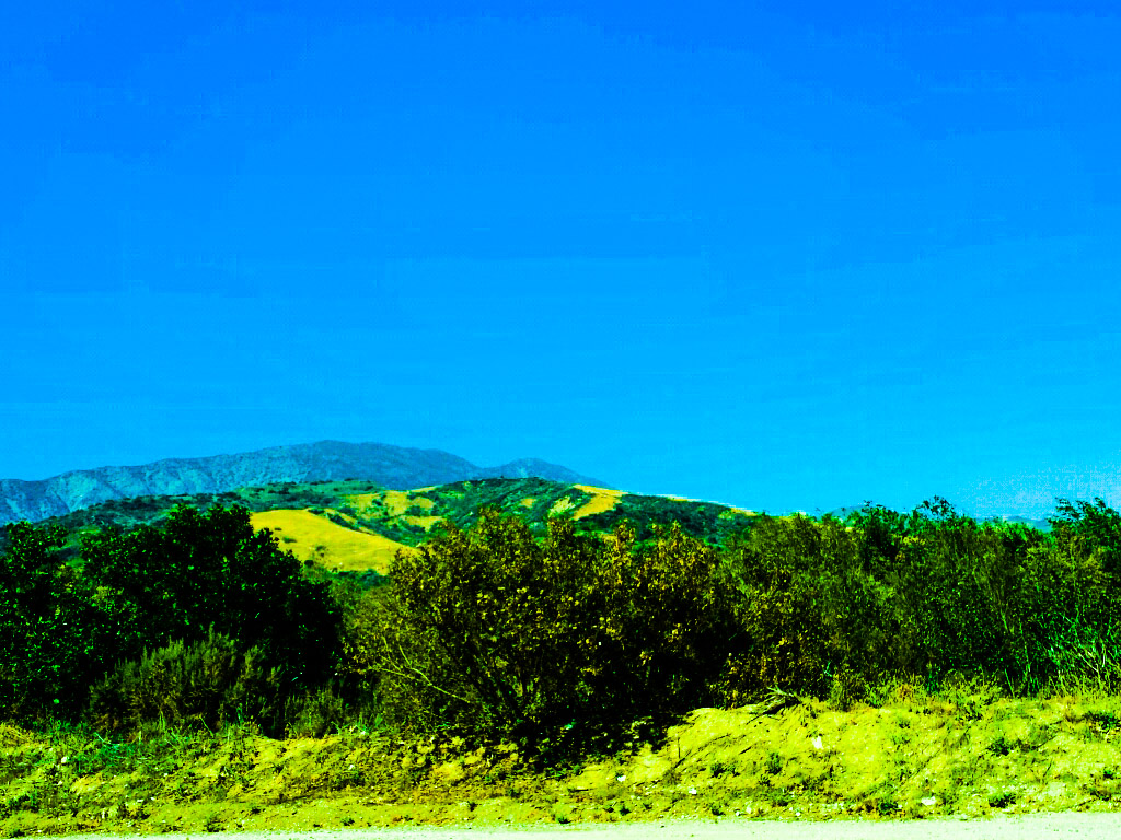
I love it when the sun breaks through stormy skies, leaving illuminated landscapes against a dark sky.
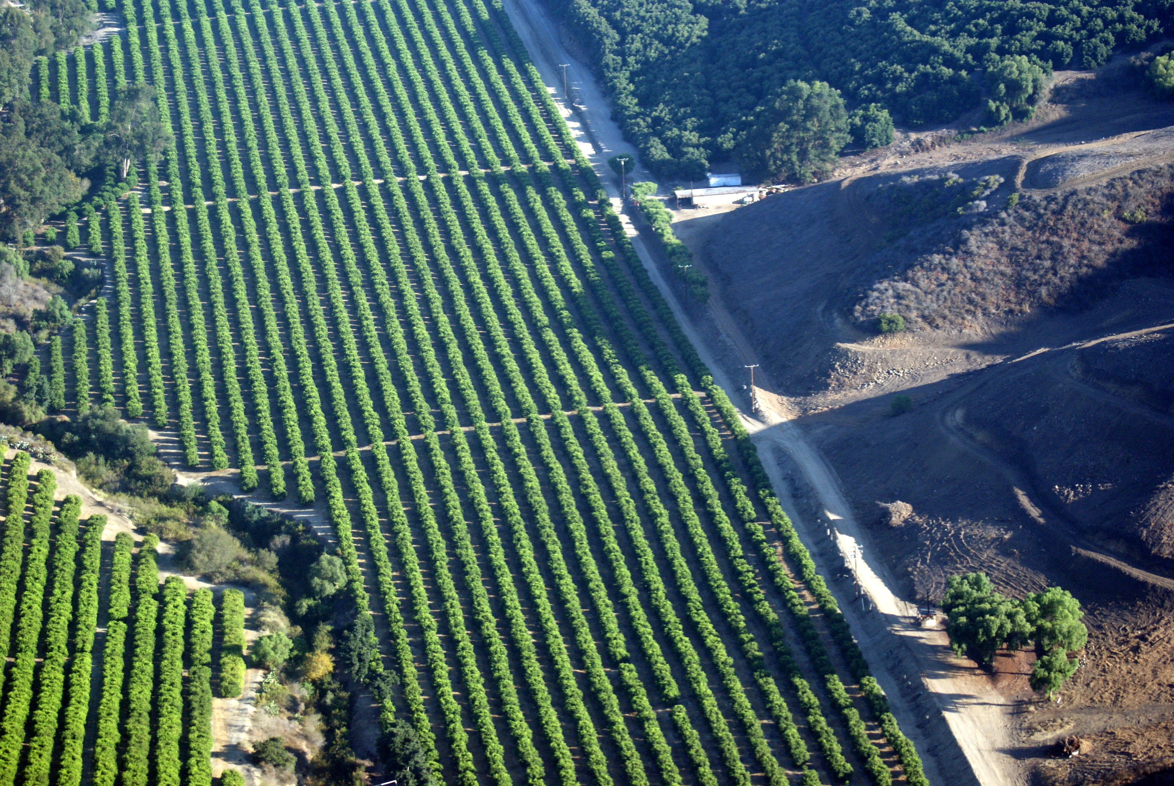
Orchard Off Telegraph Road • Fillmore, CA 2012
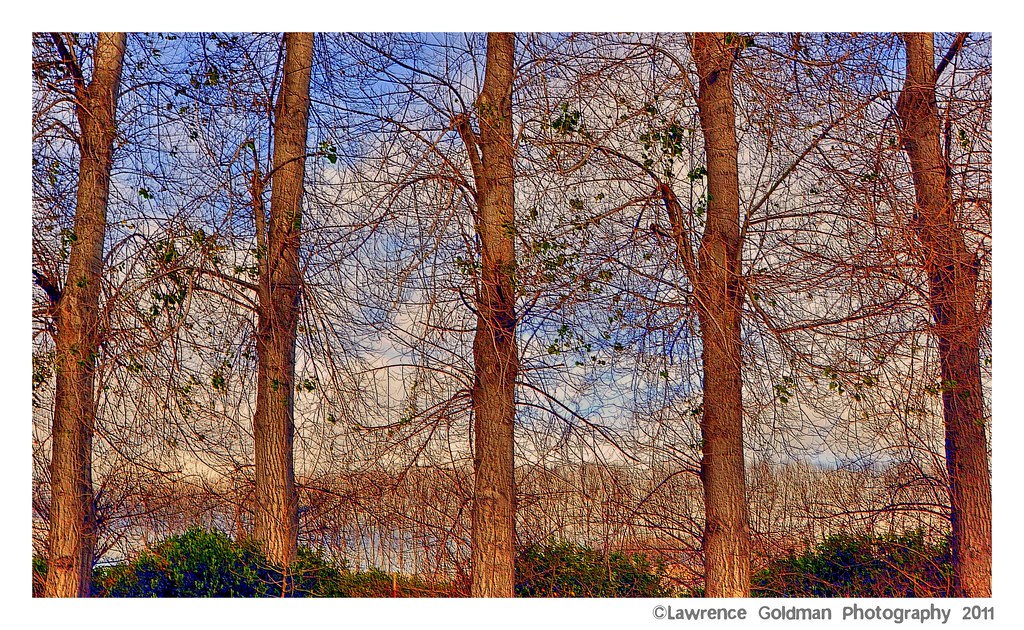
Trees Through Trees (Textures)
Aerial Flight with Mark
Los Padres Flight

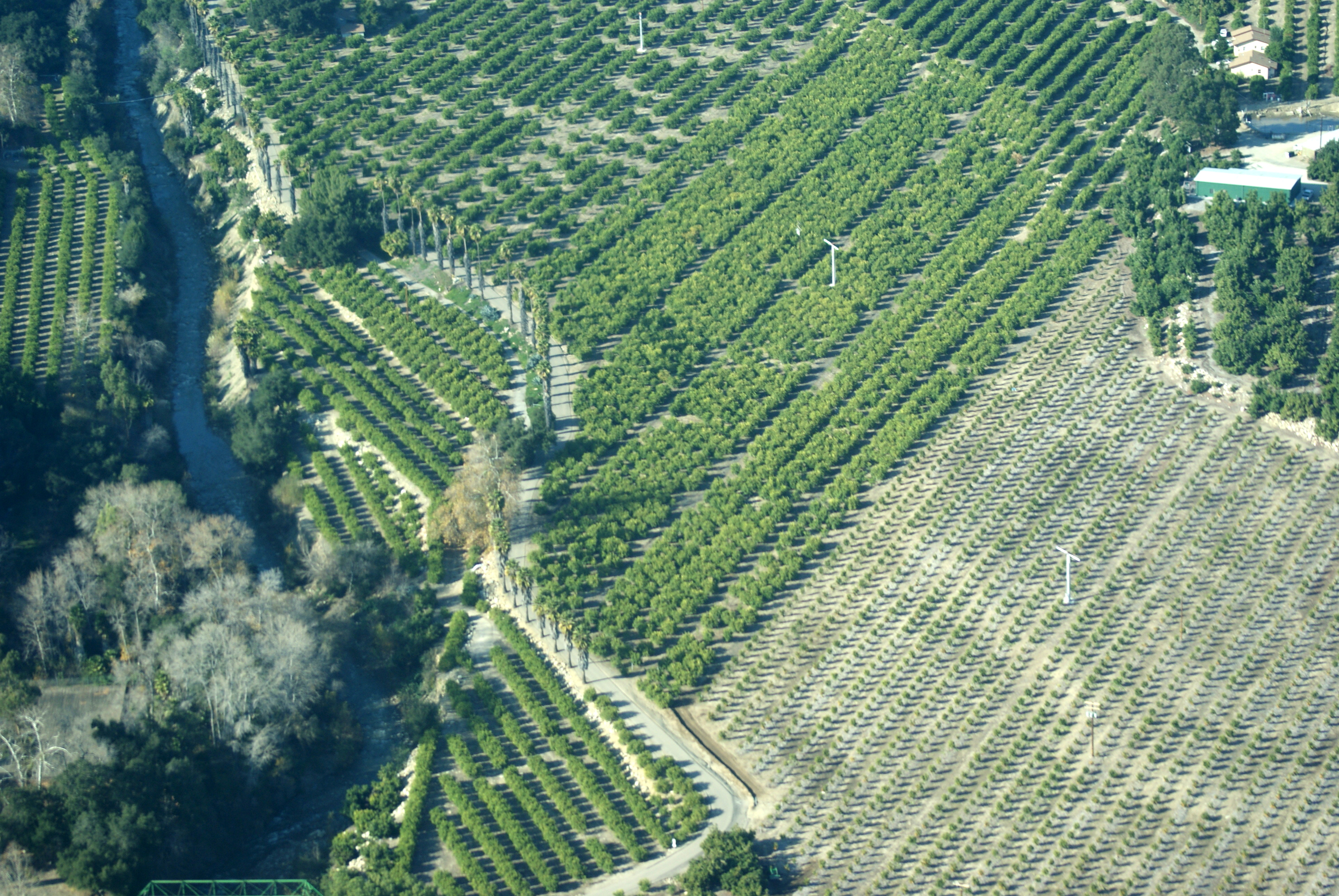
Fall Treeline • Fillmore, CA 2013
St Paul's...
Aerial Flight with Mark
Topographic Map of Sheppard Rd, Santa Paula, CA, USA
Find elevation by address:

Places near Sheppard Rd, Santa Paula, CA, USA:
343 Tirre Ct
920 Corporation St
West Telegraph Road, Santa Paula, CA, USA
15 Mckevett Heights
930 La Vuelta Pl
Santa Paula
Cummings Rd, Santa Paula, CA, USA
Ventura County
245 Apple Ave
Ojai Santa Paula Rd, Santa Paula, CA, USA
Ojai Santa Paula Rd, Santa Paula, CA, USA
Balcom Canyon Road
443 Alpine Ave
438 Plumas Ave
11200 Topa Vista Rd
5501 Elizabeth Rd
Meher Mount
12617 Koenigstein Rd
3500 Toland Rd
7675 Bradley Rd
Recent Searches:
- Elevation of Pykes Down, Ivybridge PL21 0BY, UK
- Elevation of Jalan Senandin, Lutong, Miri, Sarawak, Malaysia
- Elevation of Bilohirs'k
- Elevation of 30 Oak Lawn Dr, Barkhamsted, CT, USA
- Elevation of Luther Road, Luther Rd, Auburn, CA, USA
- Elevation of Unnamed Road, Respublika Severnaya Osetiya — Alaniya, Russia
- Elevation of Verkhny Fiagdon, North Ossetia–Alania Republic, Russia
- Elevation of F. Viola Hiway, San Rafael, Bulacan, Philippines
- Elevation of Herbage Dr, Gulfport, MS, USA
- Elevation of Lilac Cir, Haldimand, ON N3W 2G9, Canada