Elevation of Western Minerals Rd, Maricopa, CA, USA
Location: United States > California > Maricopa >
Longitude: -119.37768
Latitude: 35.043586
Elevation: 224m / 735feet
Barometric Pressure: 99KPa
Elevation Map:
Satellite Map:
Related Photos:

water tank. maricopa, ca. 2011.
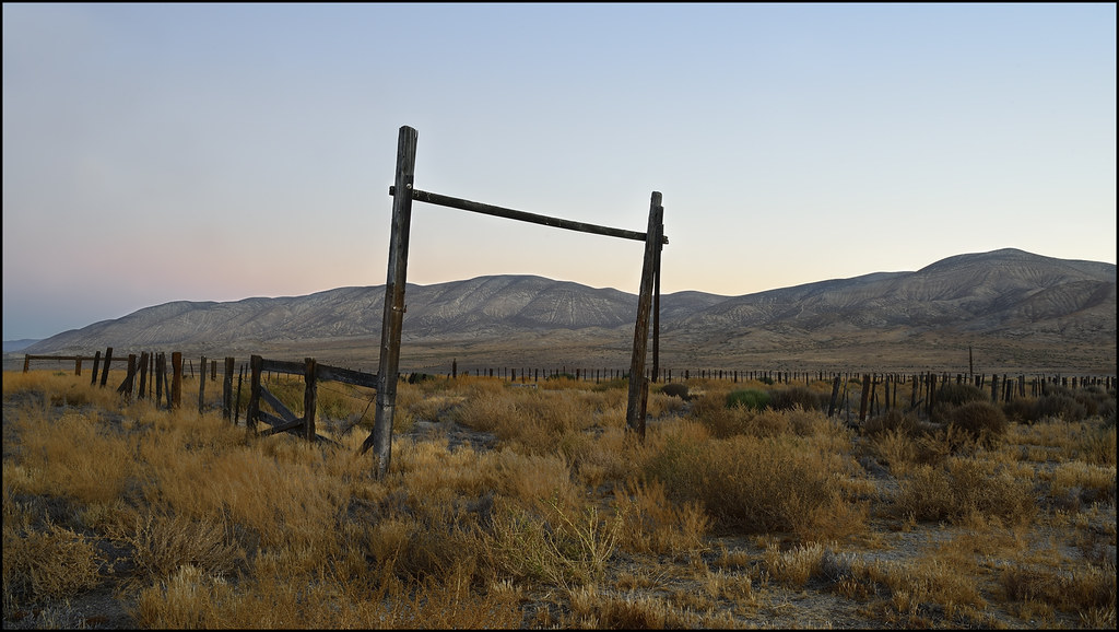
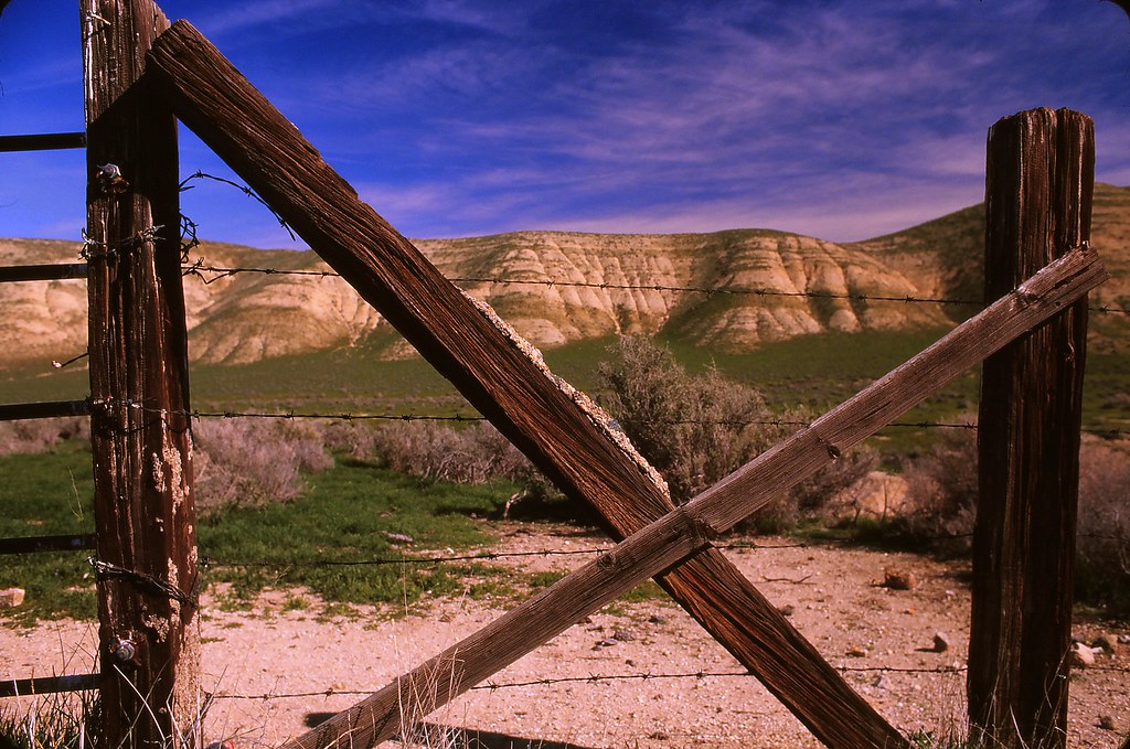
Home on the range...
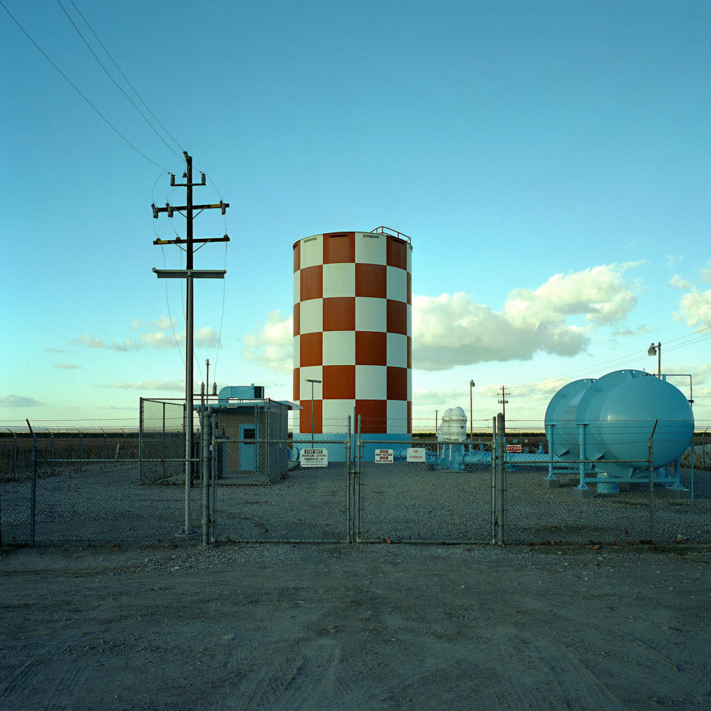
water tank. maricopa, ca. 2008.
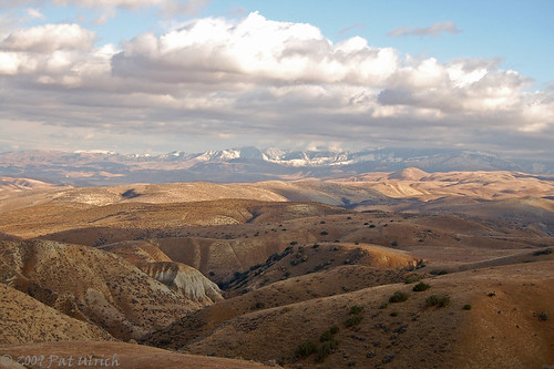
Crossing the Temblor Range
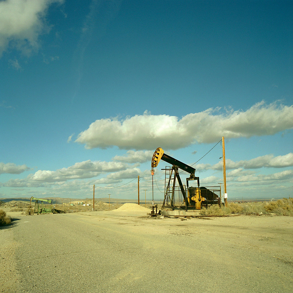
oil rig. maricopa, ca. 2008.
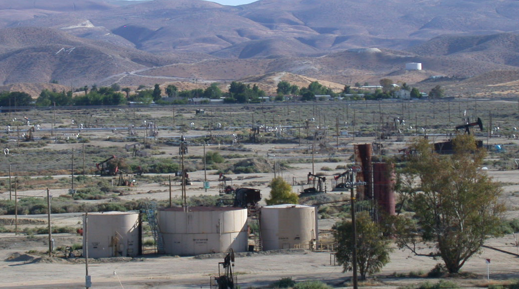
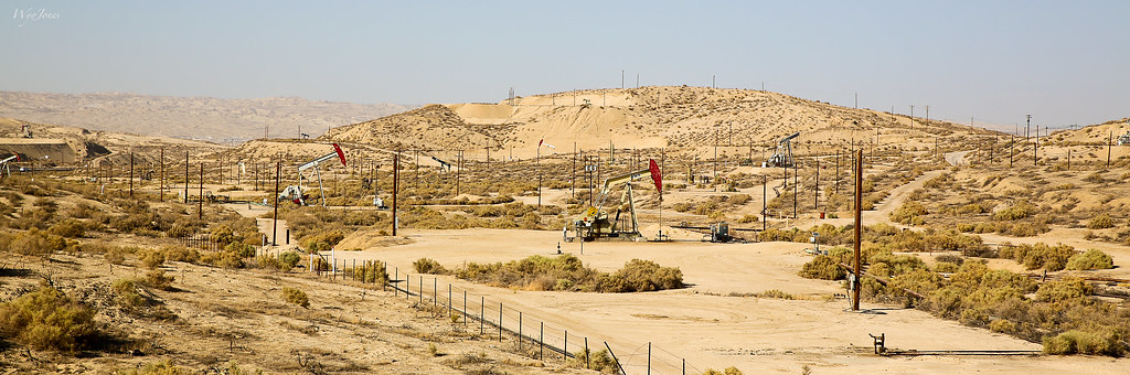
Maricopa CA oil fields (1123)
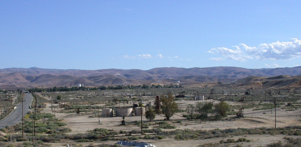
Maricopa CA oil fields (1122)
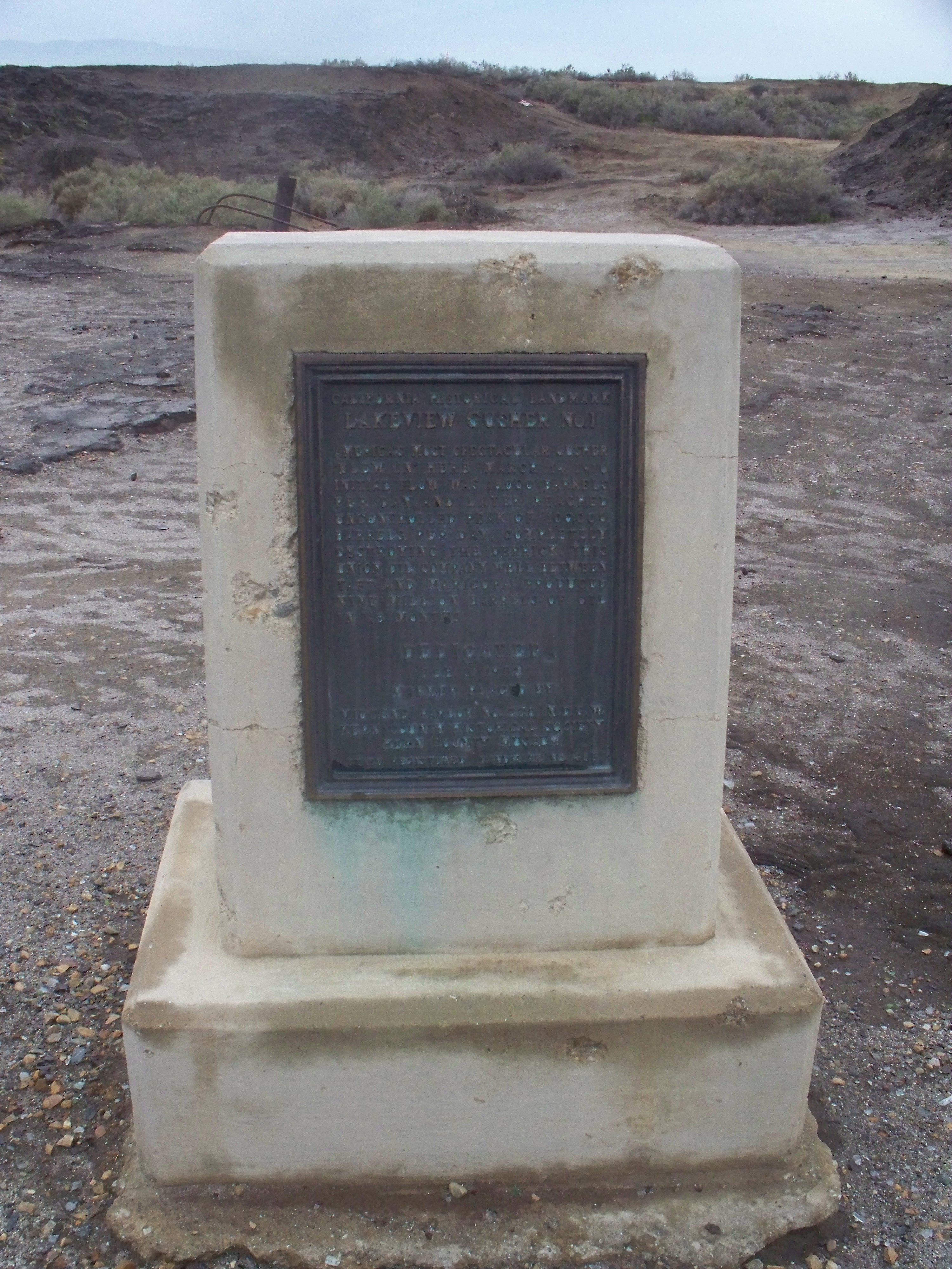
CHL# 485 Lake view Gusher Marker
Shot of the Day 6.28.08
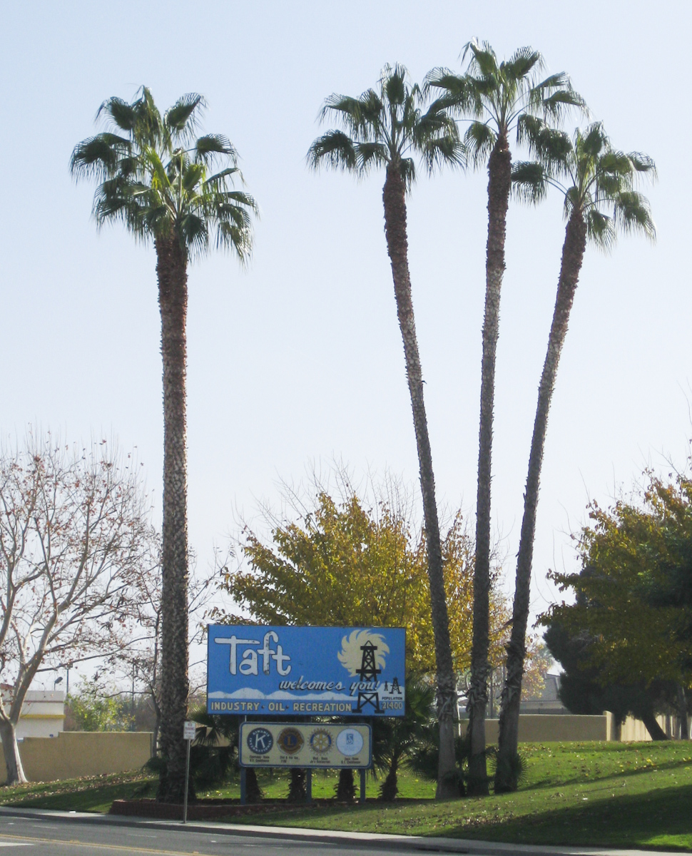
Taft welcome sign (0687)

Taft CA 1120
Momma Lee and Grandaddy's View
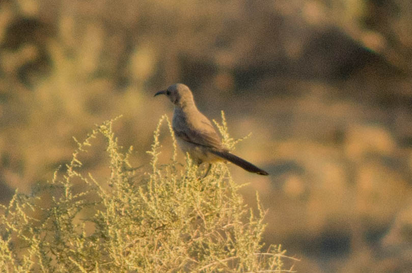
Le Conte's Thrasher
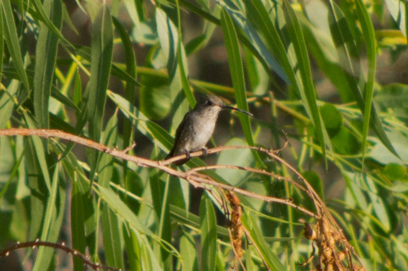
Black-chinned Hummingbird

Taft welcome sign (0687b)
Milo, Momma Lee, and Granddaddy's View

Dreaming of Carrizo

The good shepherd
DSC_1136 (Copy)
View of San Joaquin Valley from San Emigdio Mountains
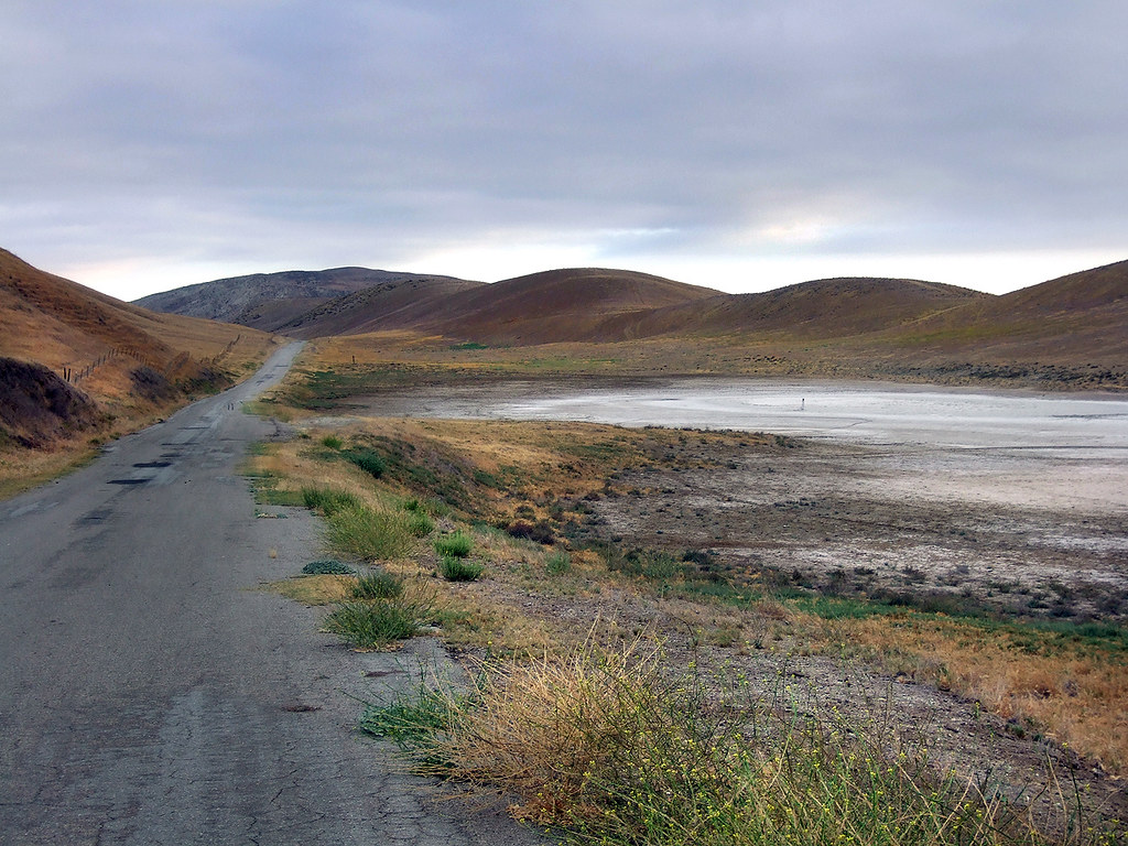
IMG_7651 SODA LAKE RD

Gear, warm light
Klipstein Canyon
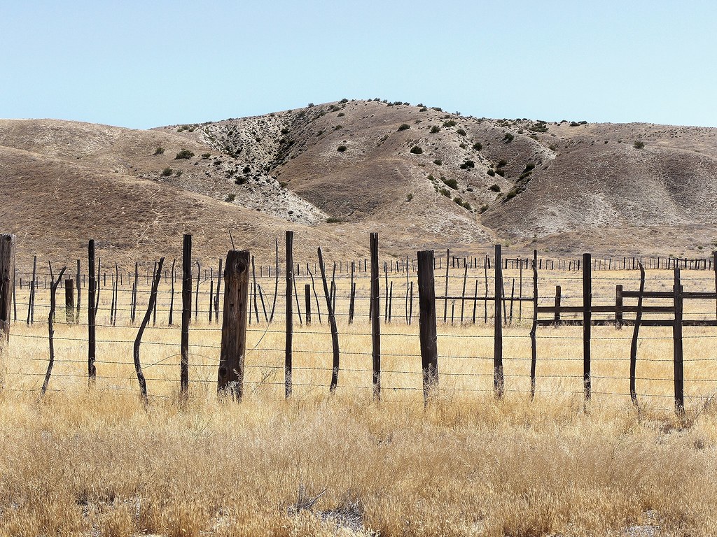
Western landscape, Kern County, California
Sunset-Midway Field
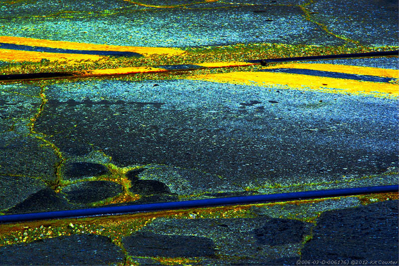
2006-03-D-006176
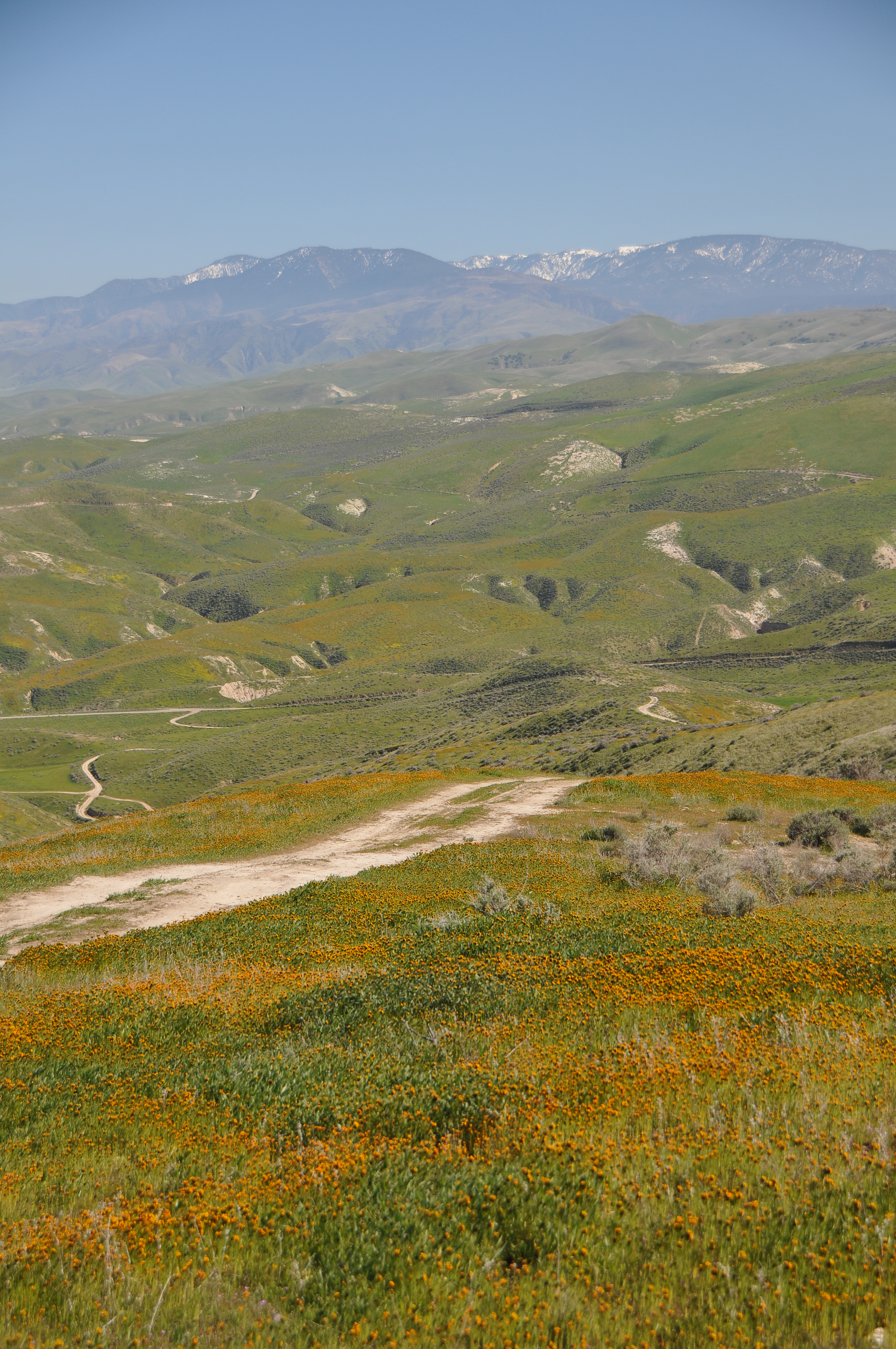
Carrizo Plain, California

Sunset thru the trees

Carrizo Plain National Monument
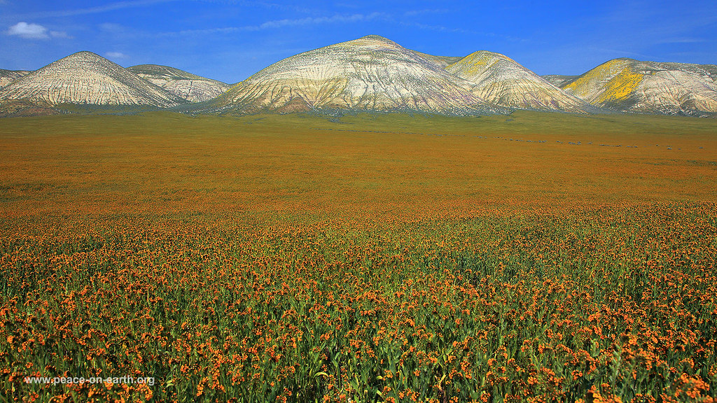
16:9 Landscape Wallpaper (89) - Carrizo Plain, California
DSC_5471.JPG

Not meant to be leaving for work when the sun is only this high but at least it's pretty
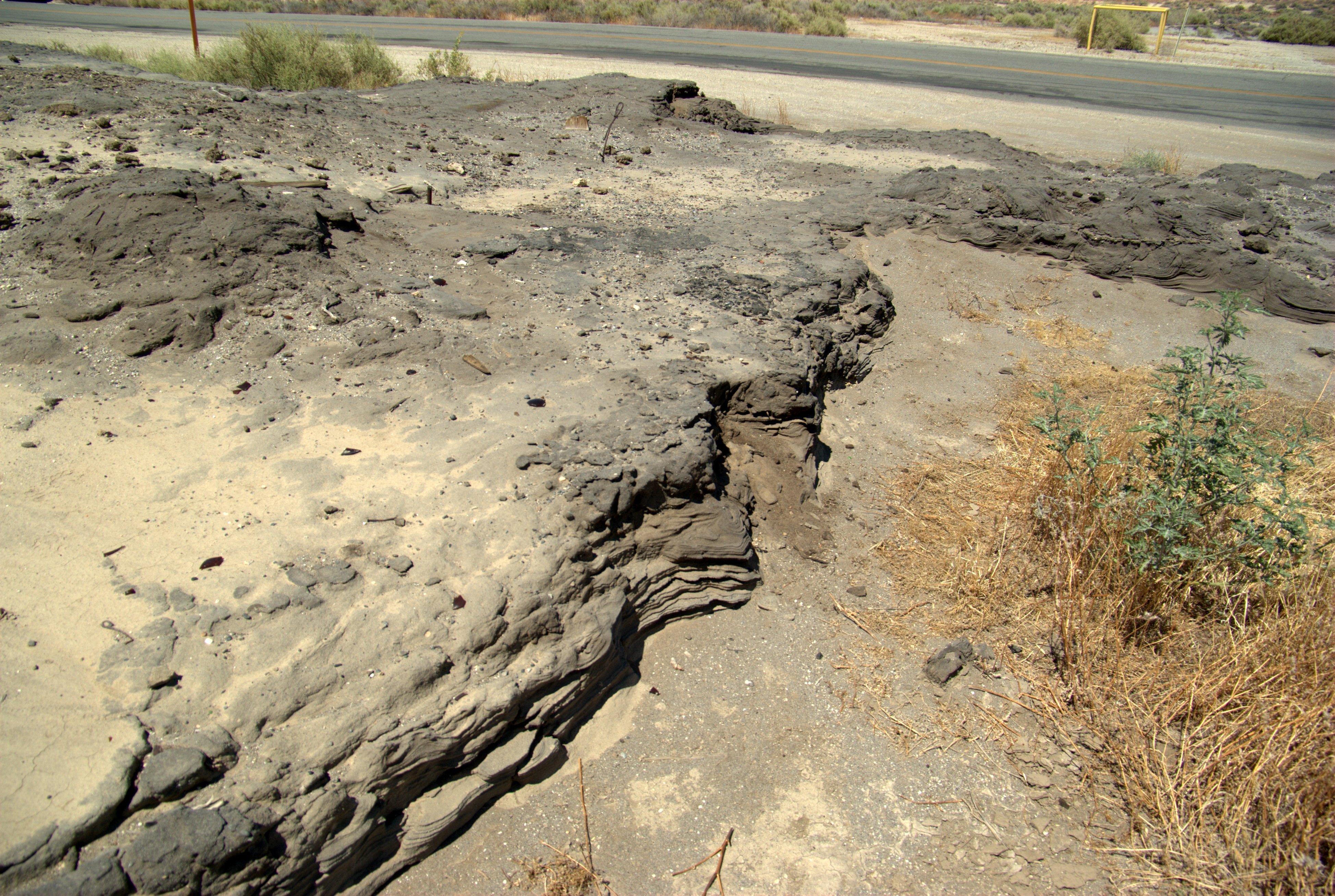
Lakeview Gusher site: Stratified oil

Gotta love th US countryside junk #bittercreek #junk #tractor #california #holidayusa

Early Bloom

Run With The Wolf

Field Of Dreams
This side, that side
Topographic Map of Western Minerals Rd, Maricopa, CA, USA
Find elevation by address:

Places near Western Minerals Rd, Maricopa, CA, USA:
Maricopa
Copus Rd, Bakersfield, CA, USA
Lucard St, Taft, CA, USA
Taft
Philippine St, Taft, CA, USA
Cedar St, Taft, CA, USA
405 Alpine St
900 Arroyo Way
100 Sage St
South Kern Industrial Center
Midoil Rd, Fellows, CA, USA
Brush Mountain
El Roblar St, Maricopa, CA, USA
3700 Ca-33
San Emigdio Mountain
Eagle Rest Peak
2105 Pinewood Ct
Pine Mountain Club Real Estate
2616 Teakwood Ct
2616 Teakwood Ct
Recent Searches:
- Elevation of Fern Rd, Whitmore, CA, USA
- Elevation of 62 Abbey St, Marshfield, MA, USA
- Elevation of Fernwood, Bradenton, FL, USA
- Elevation of Felindre, Swansea SA5 7LU, UK
- Elevation of Leyte Industrial Development Estate, Isabel, Leyte, Philippines
- Elevation of W Granada St, Tampa, FL, USA
- Elevation of Pykes Down, Ivybridge PL21 0BY, UK
- Elevation of Jalan Senandin, Lutong, Miri, Sarawak, Malaysia
- Elevation of Bilohirs'k
- Elevation of 30 Oak Lawn Dr, Barkhamsted, CT, USA