Elevation of Dawt Township, MO, USA
Location: United States > Missouri > Ozark County >
Longitude: -92.272887
Latitude: 36.5986025
Elevation: 191m / 627feet
Barometric Pressure: 99KPa
Elevation Map:
Satellite Map:
Related Photos:

Hodgson Water Mill - No. 3

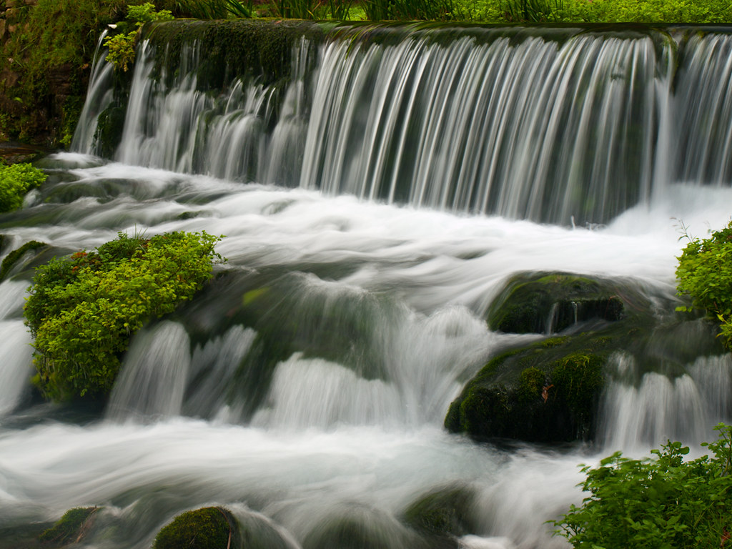
Bryant Creek

Hodgson Water Mill - No. 5

Hodgson Water Mill - No. 4

Hodgson Water Mill - No. 1

Hodgson Water Mill - No. 1
Hodgson Water Mill - Sunburst through the Trees

Hodgson Water Mill - Sunbeams through the Trees

Hodgson Water Mill - No. 2

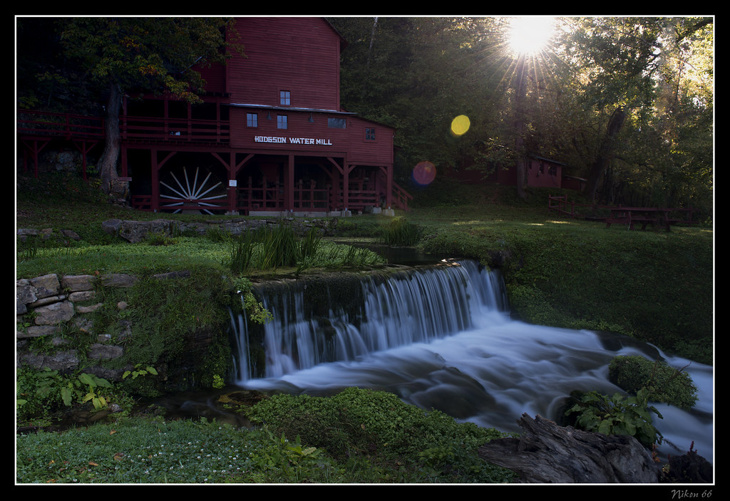
Hodgson Water Mill

White River

Side View: Bennett Bay Bridge

closer view of where the tornado was and my location

Luna Moth 2

Hodgson Grist Mill

Hodgson Mill
Hodgson Mill

Zanoni Mill

Hodgson Mill

Hodgson Mill

Hodgson Mill Ozark County Mo

Dawt MIll - North Fork of the White River

23 July 2014 | Althea Spring branch | Ozark County MO

Hodgson Mill

Hodgson Mill

Hodgson Mill

Hodgson Mill

Dawt Mill Morning
In Ozark County

Dawt Mill Morning

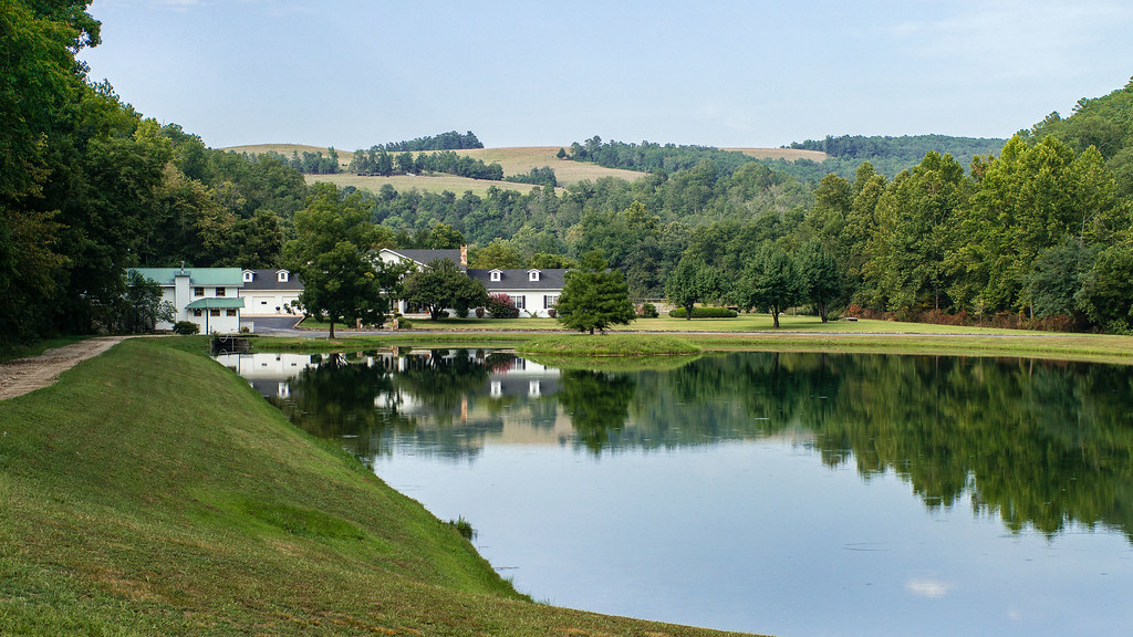
October 1, 2015 | Overlooking Lane Spring | Phelps County MO

October 1, 2015 | Lane Spring | Phelps County MO

Ice creek

DSC03564.JPG
Topographic Map of Dawt Township, MO, USA
Find elevation by address:

Places in Dawt Township, MO, USA:
Places near Dawt Township, MO, USA:
Tecumseh
State Highway Pp
29584 Us-160
29584 Us-160
1129 Co Rd 544
5972 State Hwy H
545 Co Rd 345
County Road 328
45 Trigger Ln
506 Hansen Ln
Hardenville, MO, USA
Pine Creek Township
Bayou Ii Township
Ozark County
Bridges Township
Richland Township
Gainesville
240 Co Rd 191
12468 Mo-101
Caulfield
Recent Searches:
- Elevation of 3 Nestling Wood Dr, Long Valley, NJ, USA
- Elevation of Ilungu, Tanzania
- Elevation of Yellow Springs Road, Yellow Springs Rd, Chester Springs, PA, USA
- Elevation of Rēzekne Municipality, Latvia
- Elevation of Plikpūrmaļi, Vērēmi Parish, Rēzekne Municipality, LV-, Latvia
- Elevation of 2 Henschke Ct, Caboolture QLD, Australia
- Elevation of Redondo Ave, Long Beach, CA, USA
- Elevation of Sadovaya Ulitsa, 20, Rezh, Sverdlovskaya oblast', Russia
- Elevation of Ulitsa Kalinina, 79, Rezh, Sverdlovskaya oblast', Russia
- Elevation of 72-31 Metropolitan Ave, Middle Village, NY, USA