Elevation of State Hwy H, Caulfield, MO, USA
Location: United States > Missouri > Howell County > Benton Township > Caulfield >
Longitude: -92.247902
Latitude: 36.6525168
Elevation: 275m / 902feet
Barometric Pressure: 98KPa
Elevation Map:
Satellite Map:
Related Photos:
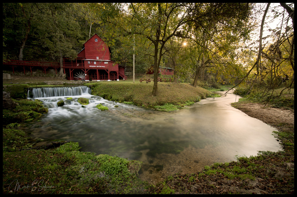
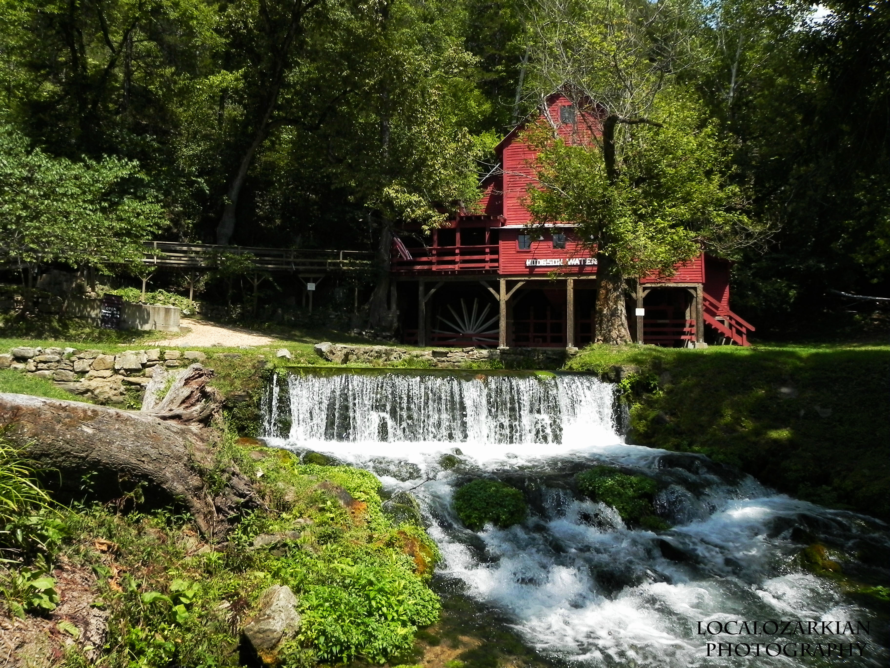
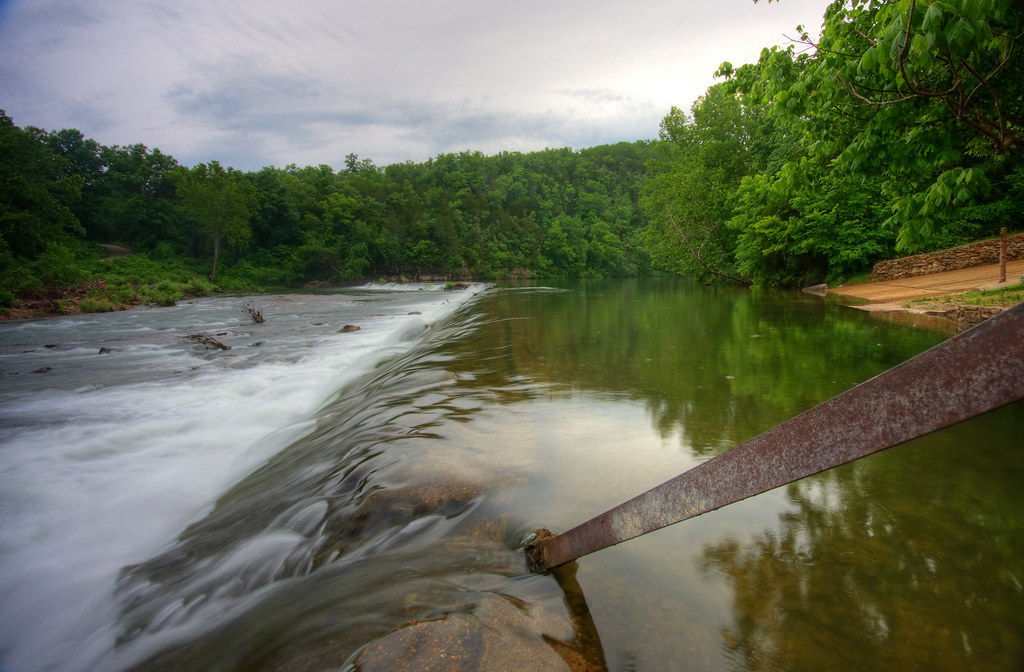
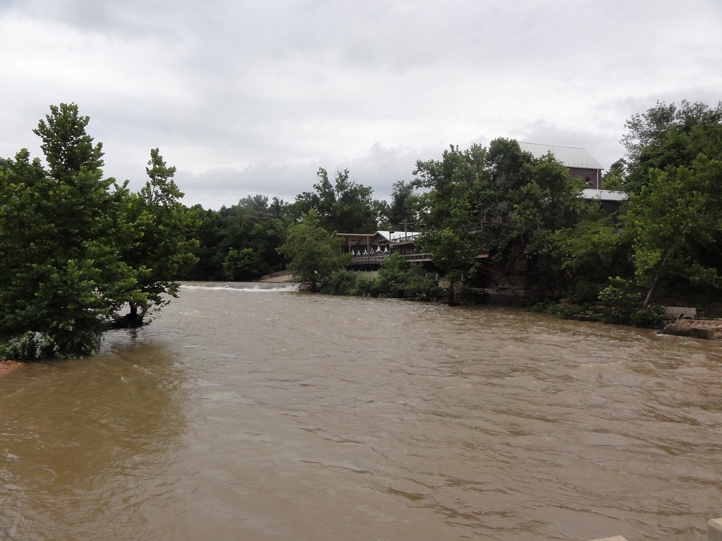
Hodgson Water Mill - No. 4

Hodgson Water Mill - No. 1

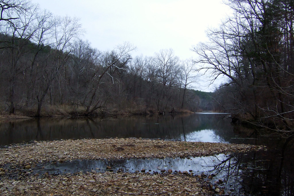
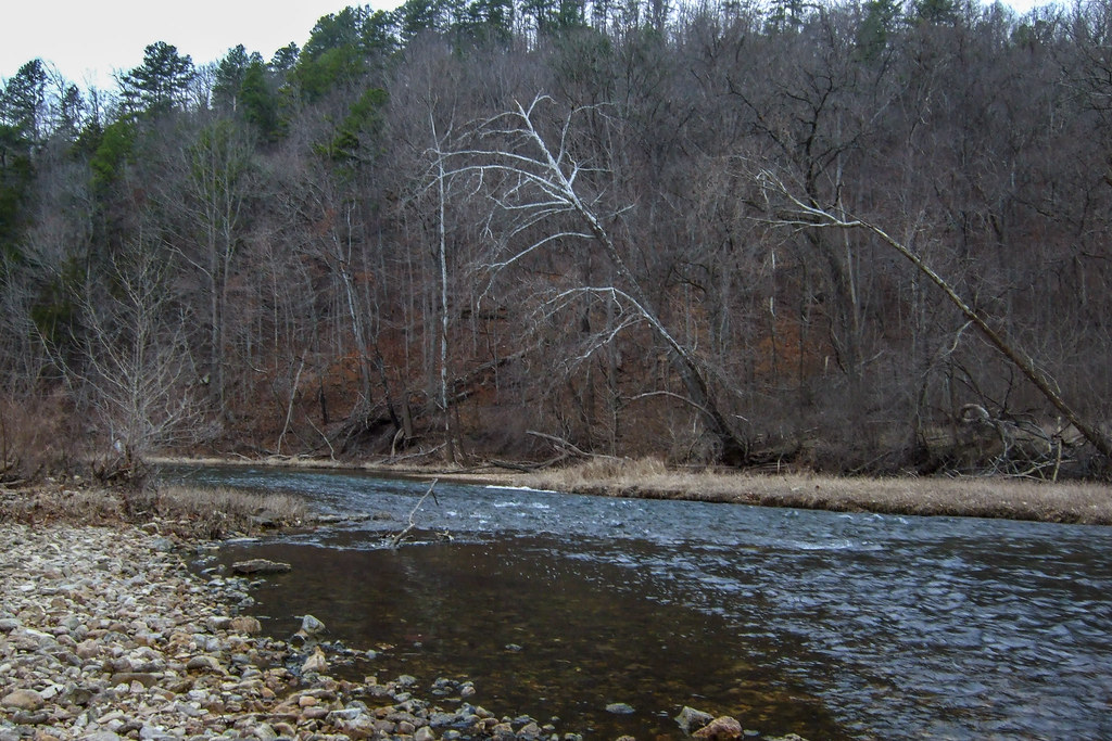
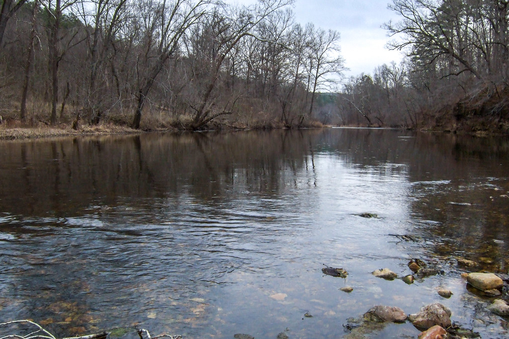
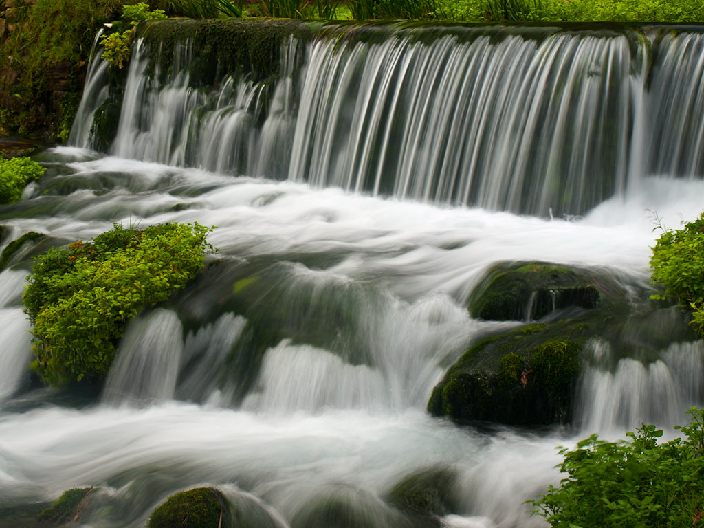
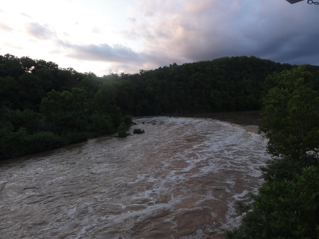
Bryant Creek
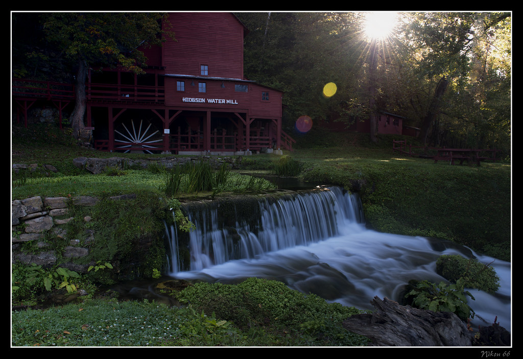
Hodgson Water Mill - Sunburst through the Trees
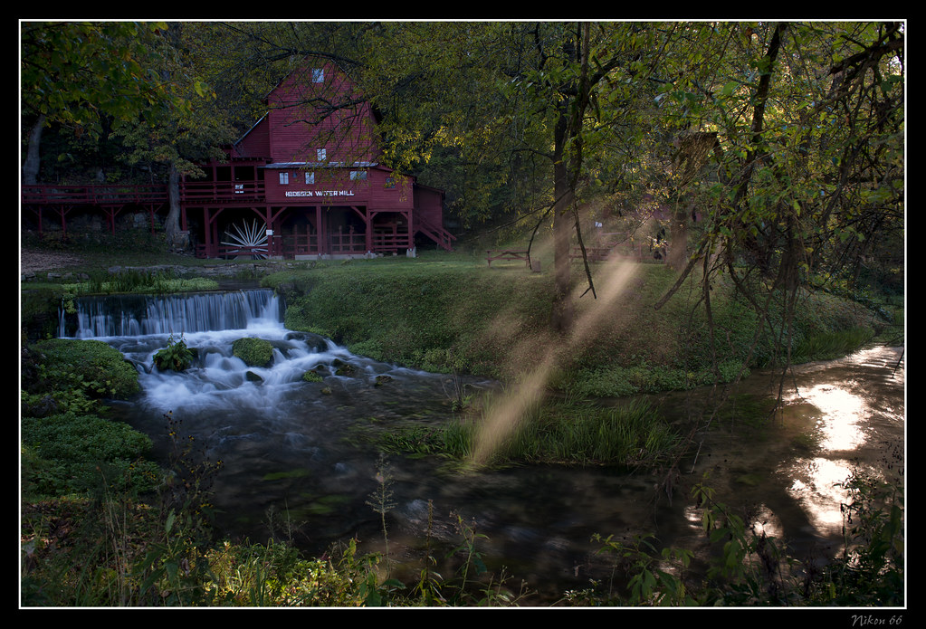
Hodgson Water Mill - Sunbeams through the Trees

Hodgson Water Mill - No. 2

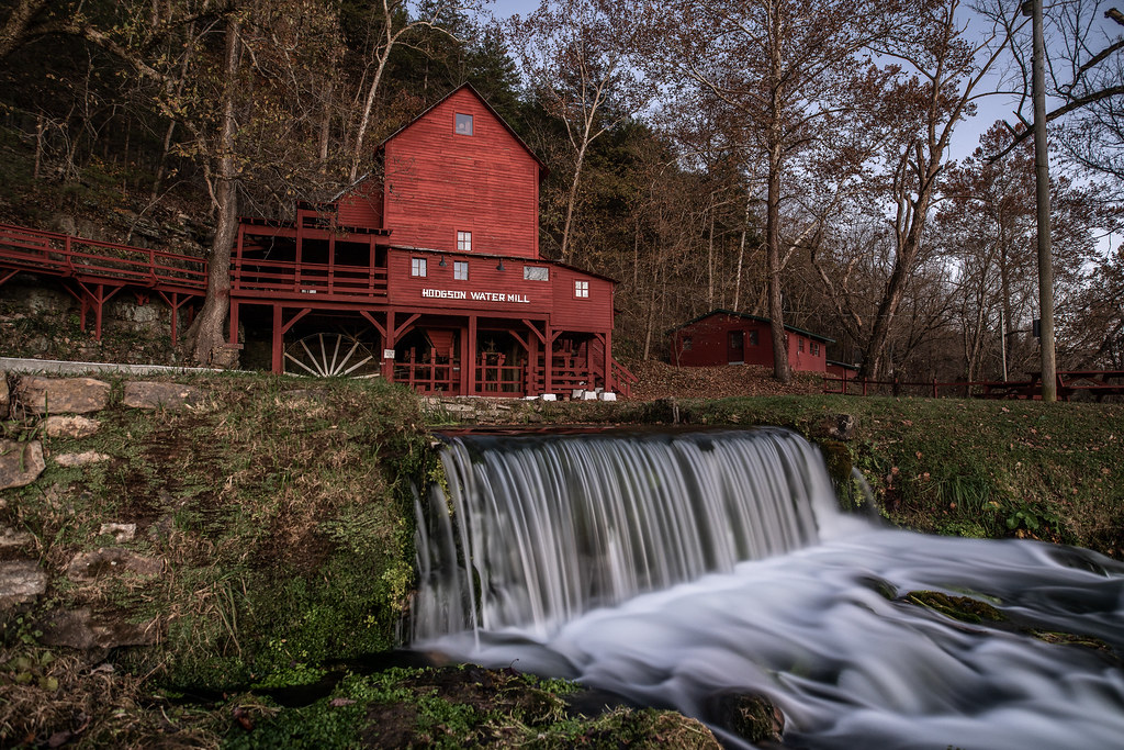
Hodgson Water Mill
Camping by the North Fork River - Devils Backbone Wilderness
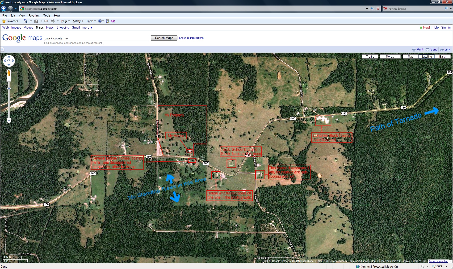
closer view of where the tornado was and my location
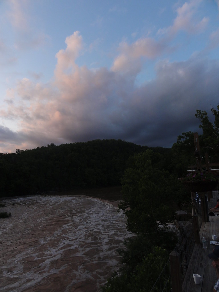
Camping by the North Fork River - Devils Backbone Wilderness
Camping by the North Fork River - Devils Backbone Wilderness
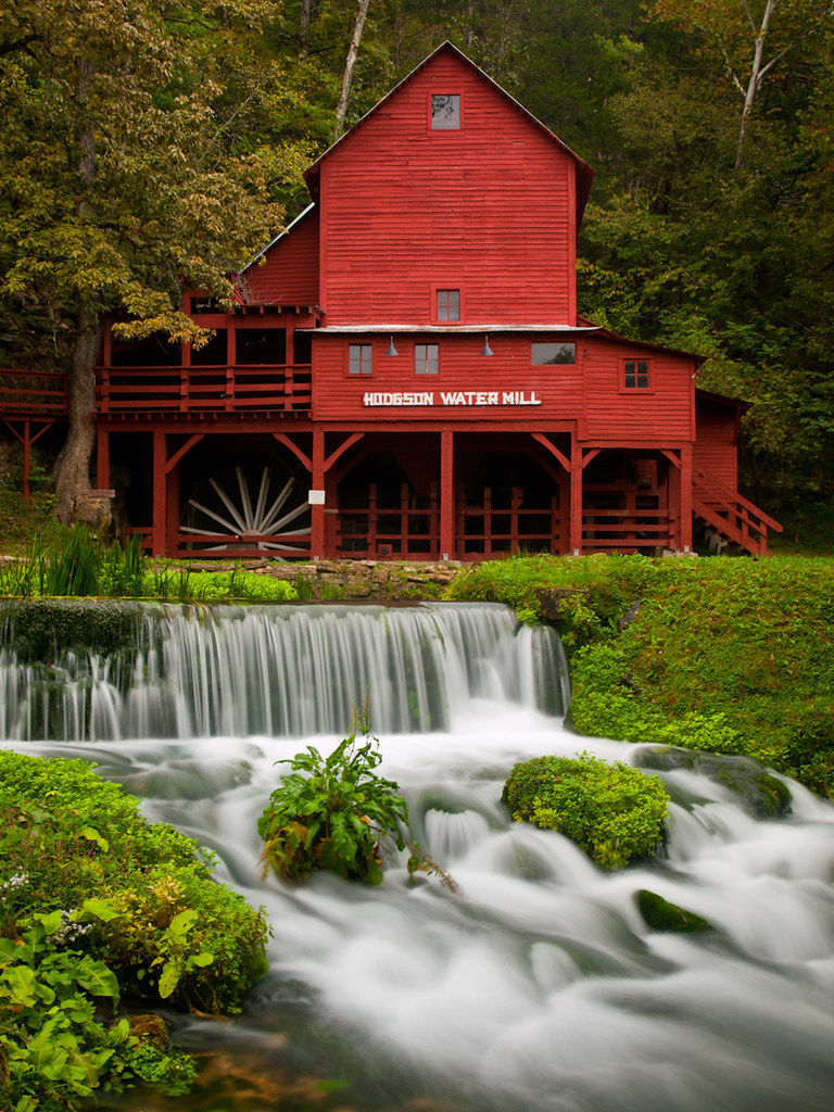
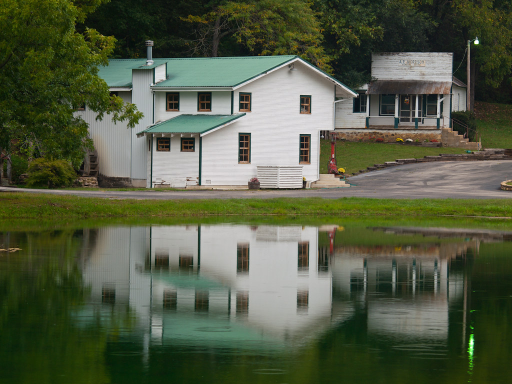
Hodgson Mill
Hodgson Grist Mill
Hodgson Mill
Zanoni Mill
Hodgson Mill

teneral Dolomedes, with dipteran prey

Hodgson Mill

Hodgson Mill Ozark County Mo
Camping in Mary Hollow
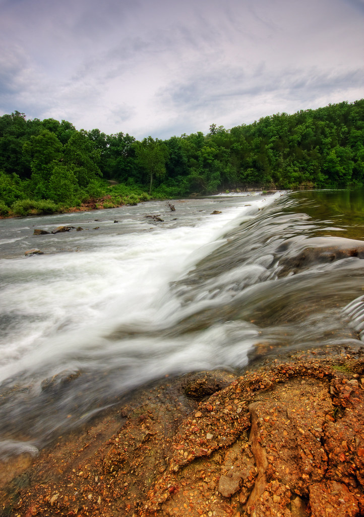
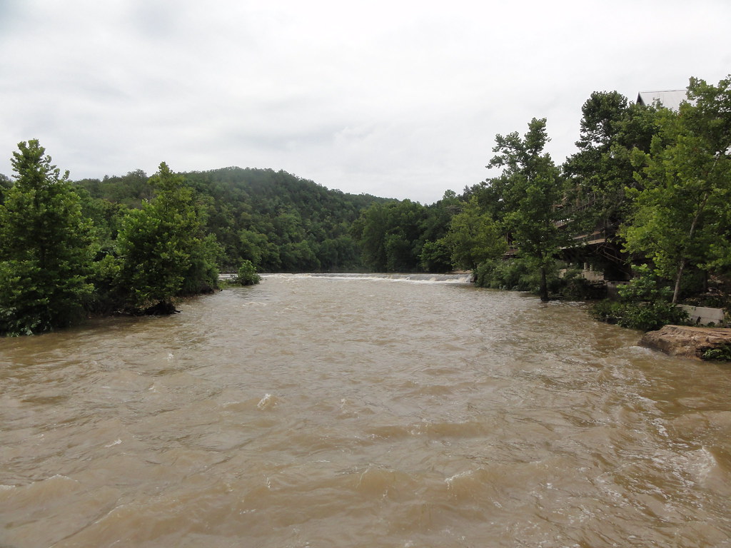
Dawt Mill Morning

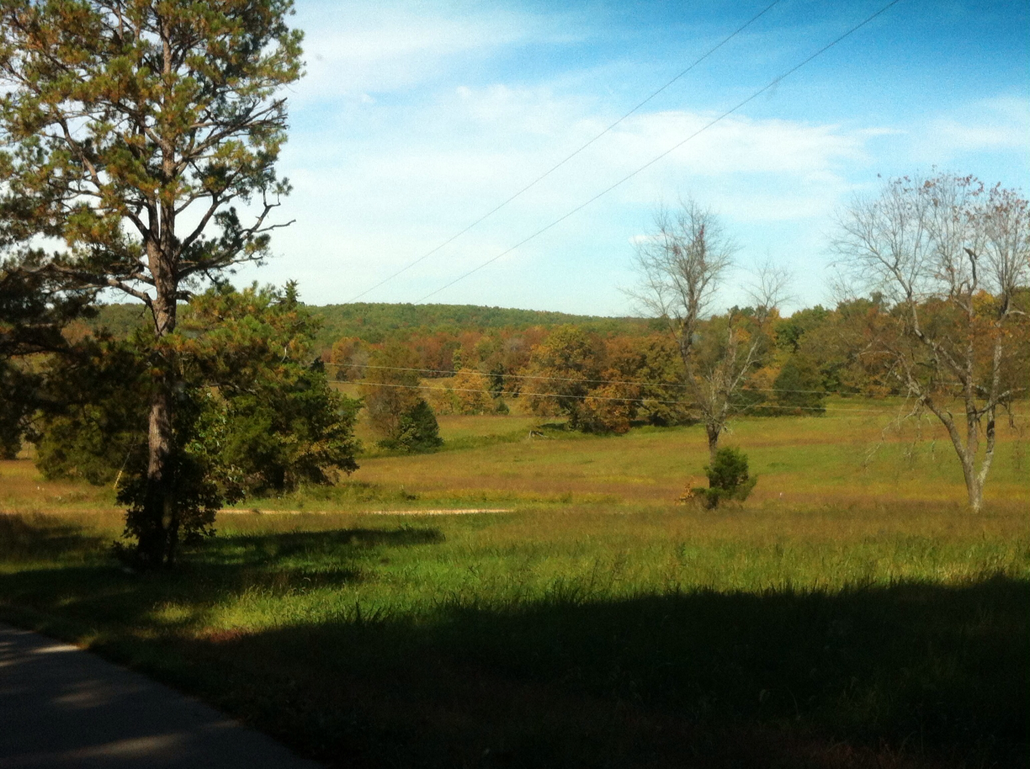
In Ozark County
Cloud 9 Ranch
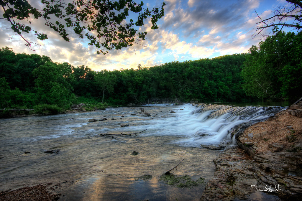
Dawt MIll - North Fork of the White River
DSC03562.JPG
Dawt Mill Morning

Bluffs on the North Fork River
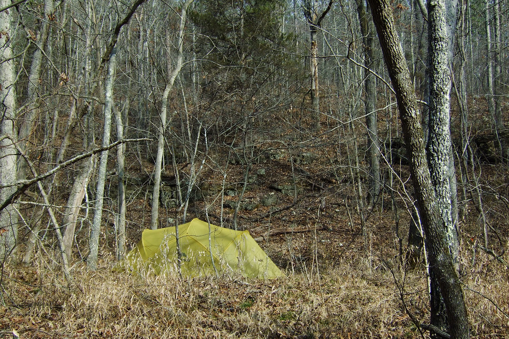
Camping in Mary Hollow - Spot the Tent
DSC03564.JPG
DSC03569.JPG
DSC03579.JPG
Topographic Map of State Hwy H, Caulfield, MO, USA
Find elevation by address:

Places near State Hwy H, Caulfield, MO, USA:
County Road 328
State Highway Pp
545 Co Rd 345
45 Trigger Ln
Dawt Township
Tecumseh
1129 Co Rd 544
Richland Township
Pine Creek Township
Bayou Ii Township
29584 Us-160
29584 Us-160
240 Co Rd 191
613 Co Rd 379
613 Co Rd 379
613 Co Rd 379
Dora
506 Hansen Ln
Ozark County
Hardenville, MO, USA
Recent Searches:
- Elevation of Great Brook Sports, Gold Star Hwy, Groton, CT, USA
- Elevation of 10 Mountain Laurels Dr, Nashua, NH, USA
- Elevation of 16 Gilboa Ln, Nashua, NH, USA
- Elevation of Laurel Rd, Townsend, TN, USA
- Elevation of 3 Nestling Wood Dr, Long Valley, NJ, USA
- Elevation of Ilungu, Tanzania
- Elevation of Yellow Springs Road, Yellow Springs Rd, Chester Springs, PA, USA
- Elevation of Rēzekne Municipality, Latvia
- Elevation of Plikpūrmaļi, Vērēmi Parish, Rēzekne Municipality, LV-, Latvia
- Elevation of 2 Henschke Ct, Caboolture QLD, Australia