Elevation of Pine Creek Township, MO, USA
Location: United States > Missouri > Ozark County >
Longitude: -92.332023
Latitude: 36.6837603
Elevation: 211m / 692feet
Barometric Pressure: 99KPa
Elevation Map:
Satellite Map:
Related Photos:

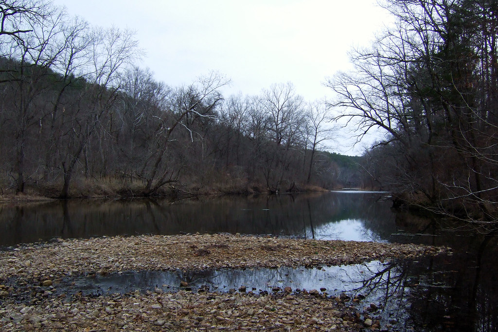
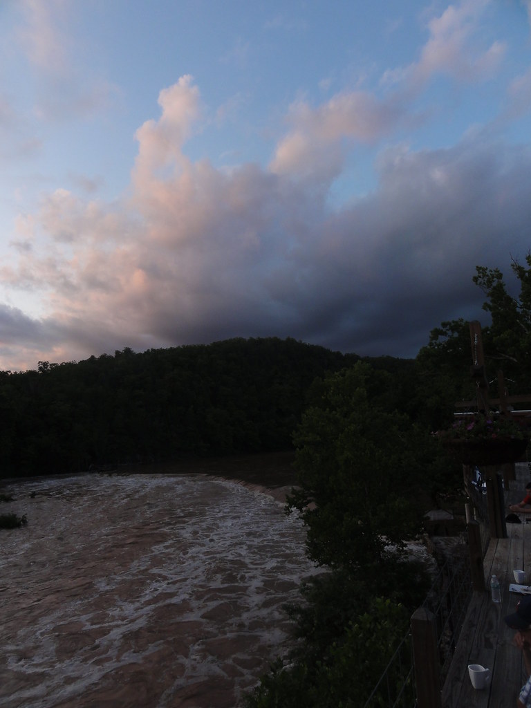
Bryant Creek
Rockbridge Grist Mill
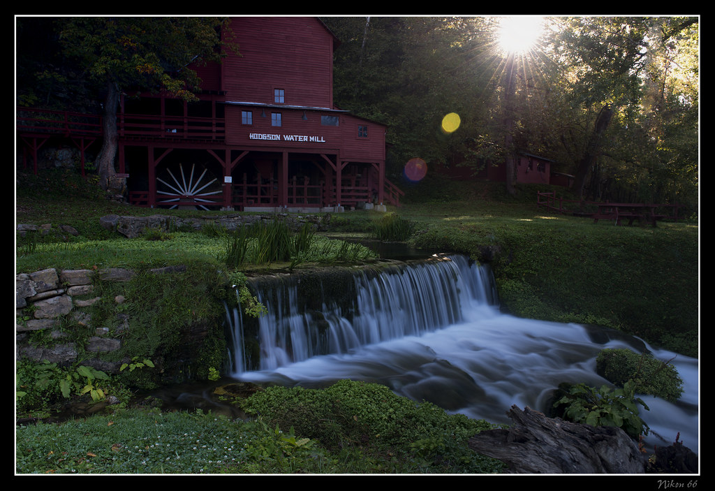
Hodgson Water Mill - Sunburst through the Trees
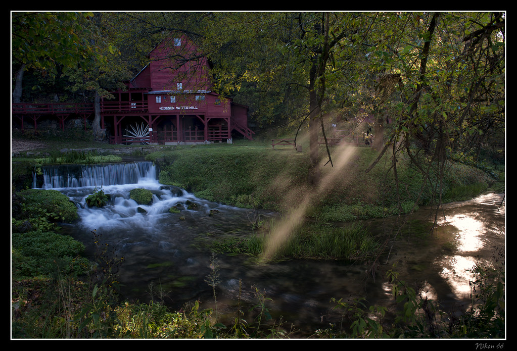
Hodgson Water Mill - Sunbeams through the Trees

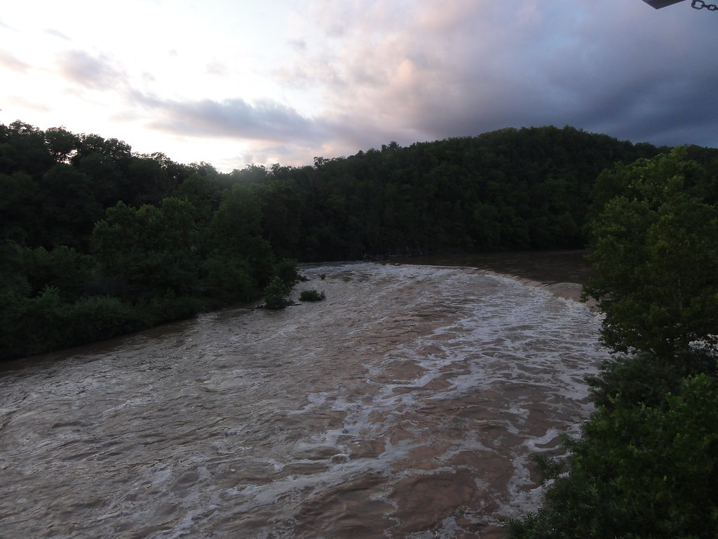
White River

Hodgson Water Mill - No. 2

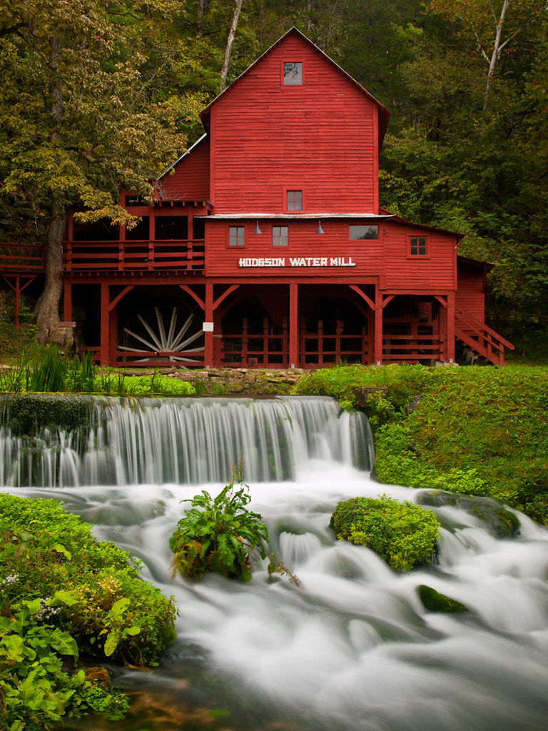
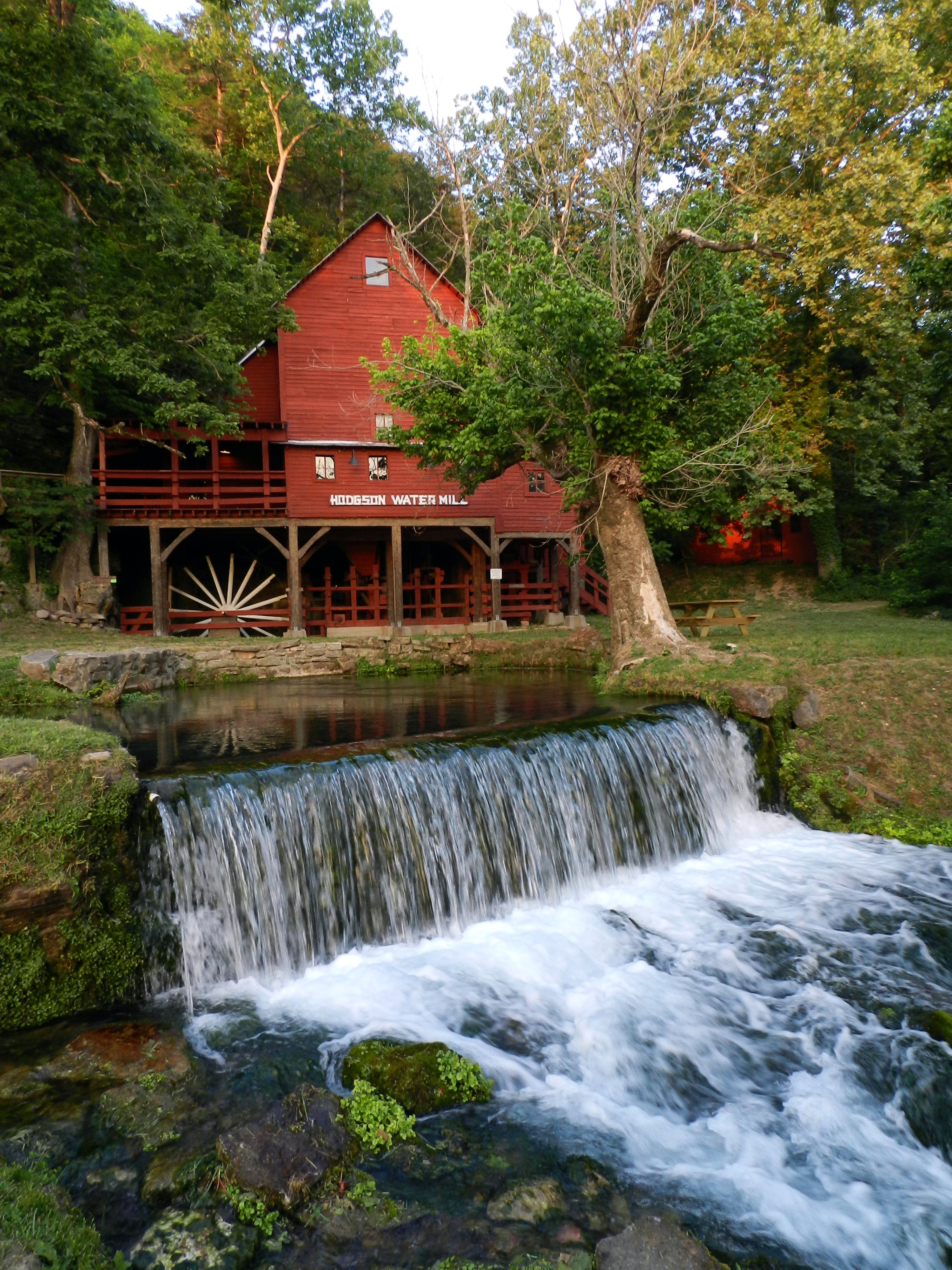
Hodgson Water Mill
Camping by the North Fork River - Devils Backbone Wilderness

Camping by the North Fork River - Devils Backbone Wilderness

Luna Moth 2
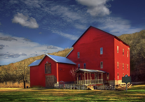
Hodgson Mill
Hodgson Mill

Hodgson Mill

Hodgson Mill Ozark County Mo
Zanoni Mill

Dawt Mill, Tecumseh

Dawt Mill Morning

Hodgson Mill
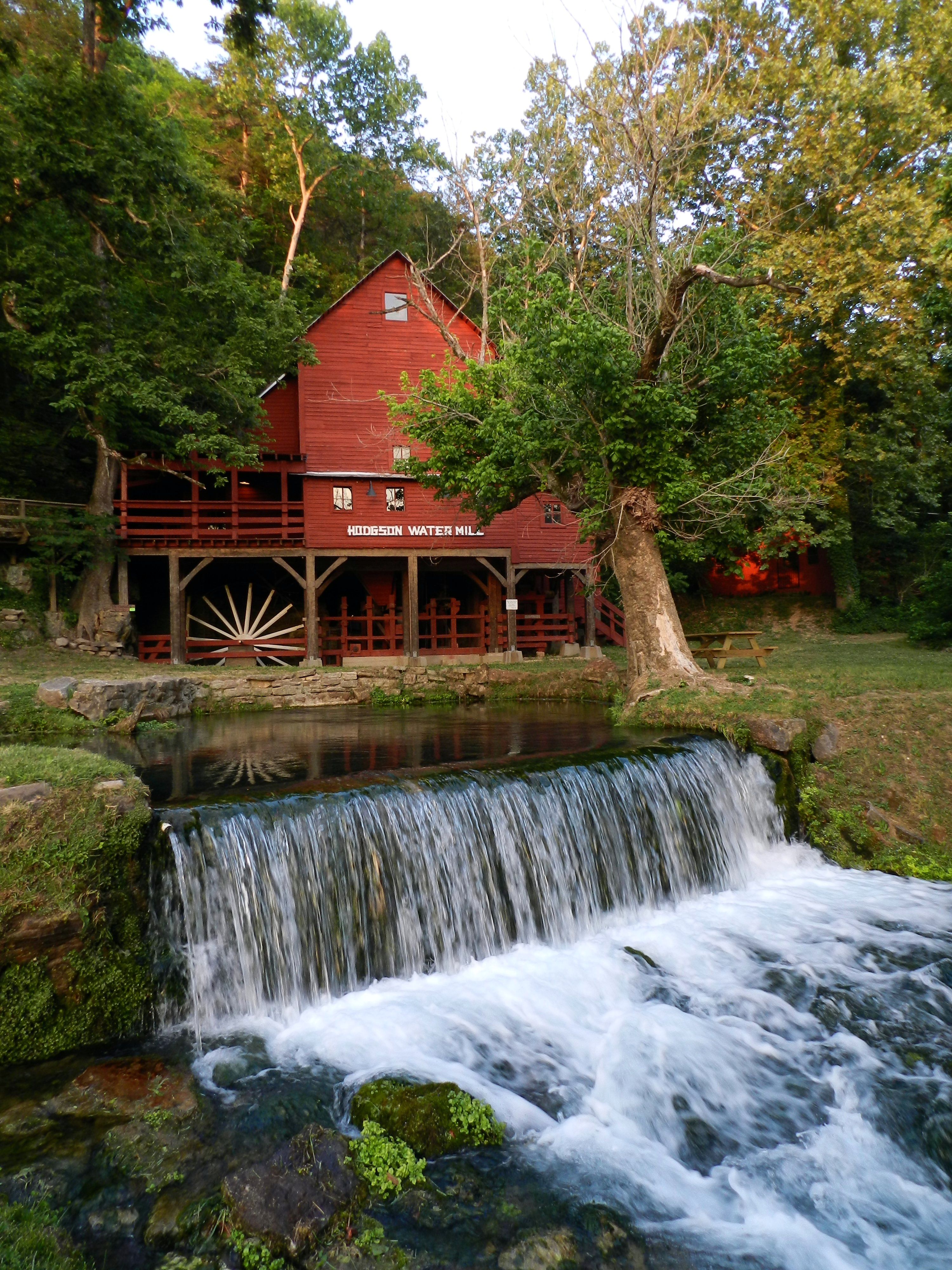
Hodgson Mill
Hodgson Mill

Hodgson Mill

In Ozark County
DSC03562.JPG
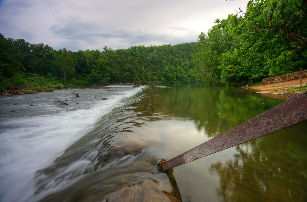
Dawt MIll - North Fork of the White River

Dawt Mill, Tecumseh
Dawt Mill Morning
DSC03564.JPG

Bluffs on the North Fork River
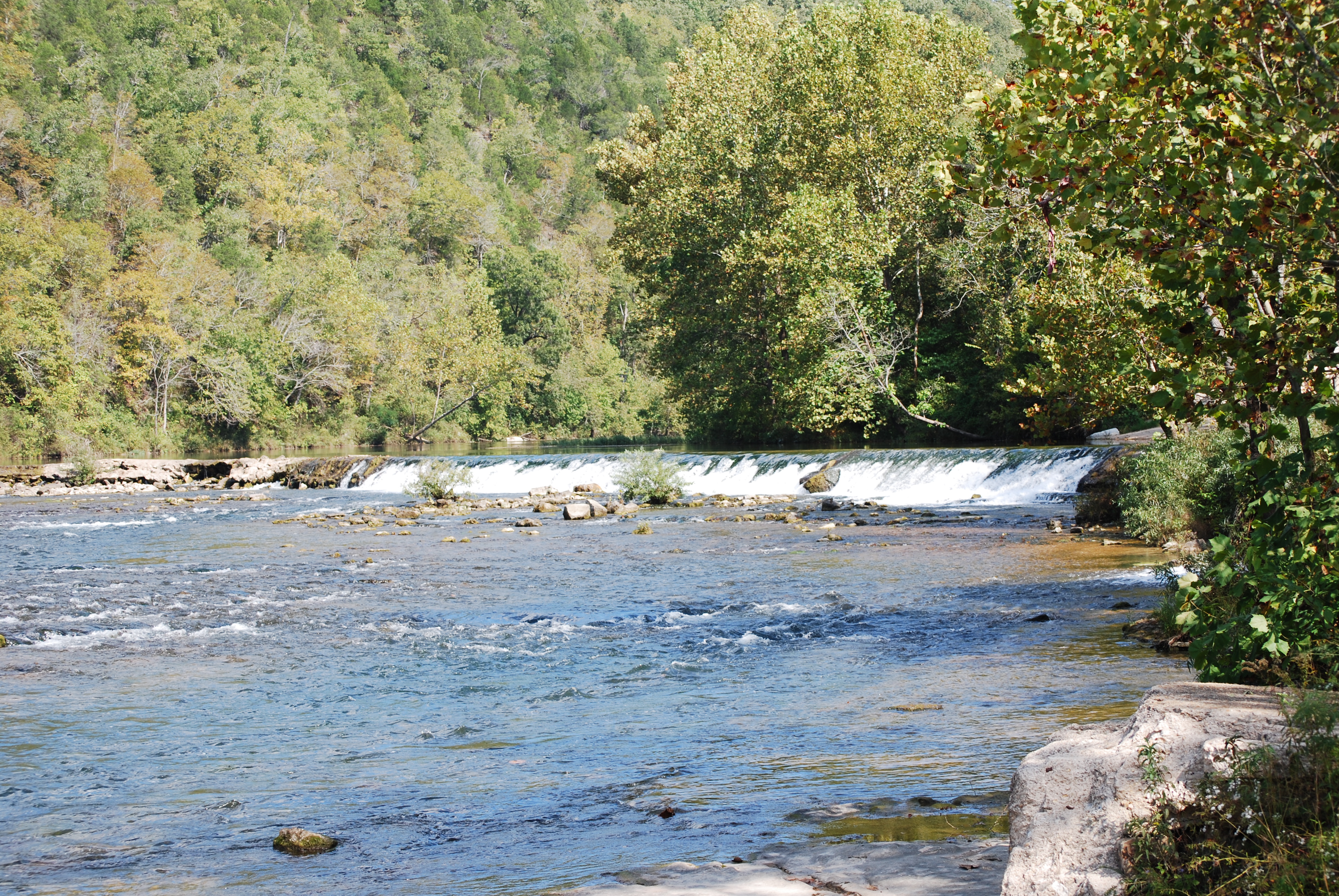
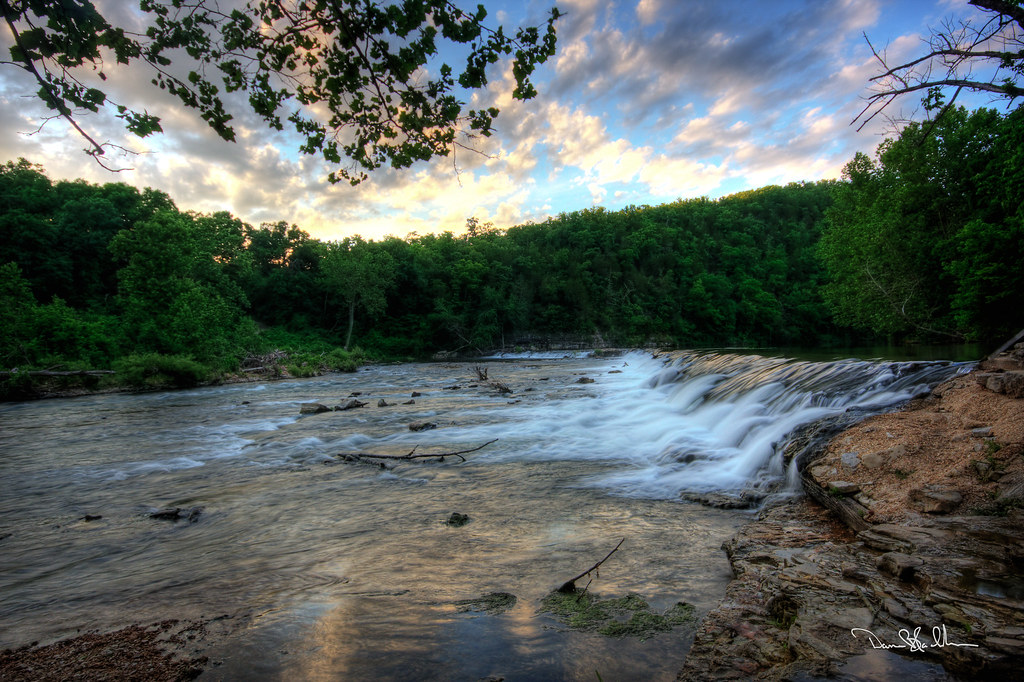
Dawt Mill Dam
Topographic Map of Pine Creek Township, MO, USA
Find elevation by address:

Places in Pine Creek Township, MO, USA:
Places near Pine Creek Township, MO, USA:
45 Trigger Ln
Ozark County
County Road 328
5972 State Hwy H
State Highway Pp
29584 Us-160
29584 Us-160
Hardenville, MO, USA
Dawt Township
Richland Township
Tecumseh
County Road 145
240 Co Rd 191
506 Hansen Ln
Gainesville
545 Co Rd 345
Bridges Township
Jackson Township
Dora
613 Co Rd 379
Recent Searches:
- Elevation of Pykes Down, Ivybridge PL21 0BY, UK
- Elevation of Jalan Senandin, Lutong, Miri, Sarawak, Malaysia
- Elevation of Bilohirs'k
- Elevation of 30 Oak Lawn Dr, Barkhamsted, CT, USA
- Elevation of Luther Road, Luther Rd, Auburn, CA, USA
- Elevation of Unnamed Road, Respublika Severnaya Osetiya — Alaniya, Russia
- Elevation of Verkhny Fiagdon, North Ossetia–Alania Republic, Russia
- Elevation of F. Viola Hiway, San Rafael, Bulacan, Philippines
- Elevation of Herbage Dr, Gulfport, MS, USA
- Elevation of Lilac Cir, Haldimand, ON N3W 2G9, Canada