Elevation of Bayou II Township, MO, USA

Location: United States > Missouri > Ozark County >

Longitude: -92.164672

Latitude: 36.6114021

Elevation: 310m / 1017feet

Barometric Pressure: 98KPa
Elevation Map:

elevation map of Bayou II Township, MO, USA

Satellite Map:

Satellite map of Bayou II Township, MO, USA

Related Photos:

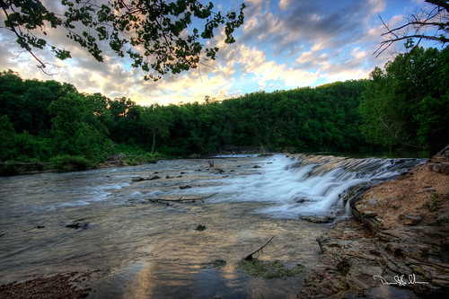
hodgsonwatermill hodgsonmill mill watermill ozarks waterfall bryantcreek ozarkcounty missouri nikon d850 1424mmnikkor
Hodgson Water Mill - No. 3
hodgsonwatermill hodgsonmill mill watermill ozarks waterfall bryantcreek ozarkcounty missouri nikon d850 1424mmnikkor
Hodgson Water Mill - No. 5
hodgsonwatermill hodgsonmill mill watermill ozarks waterfall bryantcreek ozarkcounty missouri nikon d850 1424mmnikkor
Hodgson Water Mill - No. 4
hodgsonwatermill hodgsonmill mill watermill ozarks waterfall bryantcreek ozarkcounty missouri nikon d850 1424mmnikkor
Hodgson Water Mill - No. 1
mill waterfall nikon missouri ozarks watermill d800 ozarkcounty hodgsonwatermill 2470mmf28nikkor ©copyright
Hodgson Water Mill - Sunbeams through the Trees
mill waterfall nikon missouri ozarks watermill d800 ozarkcounty hodgsonwatermill 2470mmf28nikkor ©copyright
Hodgson Water Mill - No. 2
garyallman backpacking backpackingjanuary252020 fujifilmxe3 gsa selfportrait hammockcamping devilsbackbonewilderness pottersville missouri unitedstatesofamerica
Enjoying the view
nikon missouri ozarks d800 ozarkcounty bryantcreek platinumheartaward hodgsonwatermill 2470mmf28nikkor ©copyright
Bryant Creek
mill waterfall nikon missouri ozarks watermill d800 ozarkcounty hodgsonwatermill 2470mmf28nikkor ©copyright
Hodgson Water Mill - No. 1
mill waterfall nikon missouri ozarks watermill d800 ozarkcounty hodgsonwatermill 2470mmf28nikkor ©copyright
Hodgson Water Mill - Sunburst through the Trees
missouri
White River
camping hiking backpacking gsa bluff northforkriver fujifinepixf30 journal2011 devilsbackbonewilderness weddinganniversarybackpackingatdevilsbackbonewilderness
Camping by the North Fork River - Devils Backbone Wilderness
camping hiking backpacking gsa bluff northforkriver fujifinepixf30 journal2011 devilsbackbonewilderness weddinganniversarybackpackingatdevilsbackbonewilderness
Camping by the North Fork River - Devils Backbone Wilderness
bridges missouri
Side View: Bennett Bay Bridge
northforkriver camping backpacking gsa bluff devilsbackbonewilderness journal2011 weddinganniversarybackpackingatdevilsbackbonewilderness fujifinepixf30 hiking westplains missouri unitedstates us
Camping by the North Fork River - Devils Backbone Wilderness
northforkriver camping backpacking gsa bluff devilsbackbonewilderness journal2011 weddinganniversarybackpackingatdevilsbackbonewilderness fujifinepixf30 hiking westplains missouri unitedstates us
Camping by the North Fork River - Devils Backbone Wilderness
closer view of where the tornado was and my location
northforkriver camping backpacking gsa bluff devilsbackbonewilderness weddinganniversarybackpackingatdevilsbackbonewilderness fujifinepixf30 hiking westplains missouri unitedstates us
Camping by the North Fork River - Devils Backbone Wilderness
eastwind
Luna Moth 2
backpackingjanuary252020 panorama gsa backpacking fujifilmxe3 devilsbackbonewilderness pottersville missouri unitedstatesofamerica
Morning view across the hollow
Hodgson Grist Mill
missouri ozarkmountains hodgsonmill
Hodgson Mill
macro spider arachnid predator araneae predation araneomorphae truespider araneomorph
teneral Dolomedes, with dipteran prey
backpackingfebruary232019 backpacking devilsbackbonewilderness gsa stereoimageleft stereoimage fujifilmxe3 pottersville missouri unitedstatesofamerica us
North Fork River
missouri
Hodgson Mill
missouri ozarkmountains hodgsonmill
Hodgson Mill
mill missouri oldmill ozarks southernmissouri hodgsonmill localozarkian ozarkcountymissouri ozarkmill missourimill
Hodgson Mill
Hodgson Mill Ozark County Mo
whiteriver northfork dawt dawtmill
Dawt MIll - North Fork of the White River
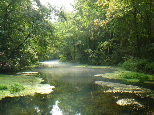
altheaspring 2014 ozarkcountymo spring water missouri
23 July 2014 | Althea Spring branch | Ozark County MO
camping hiking backpacking gsa bluff northforkriver fujifinepixf30 journal2011 devilsbackbonewilderness weddinganniversarybackpackingatdevilsbackbonewilderness
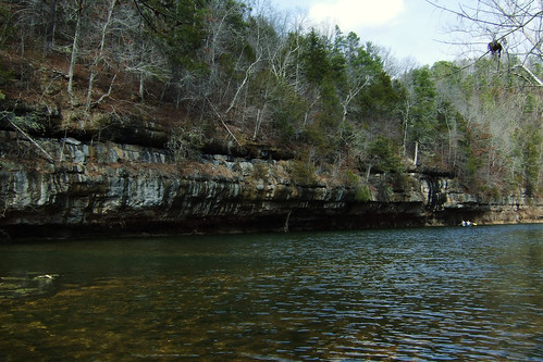
Bluffs on the North Fork River
Hodgson Mill
camping hiking backpacking gsa fujifinepixf30 journal2011 devilsbackbonewilderness weddinganniversarybackpackingatdevilsbackbonewilderness
Camping in Mary Hollow
Hodgson Mill
Hodgson Mill
Hodgson Mill
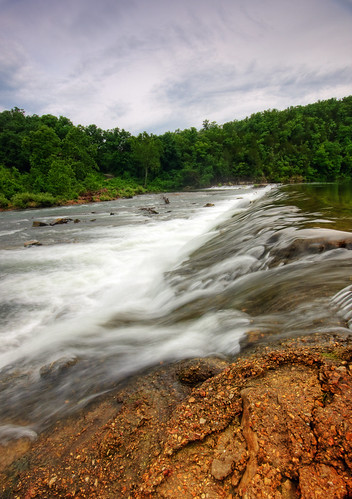
morning water river dam falls whiteriver hdr northfork morn dawt photomatix dawtmill blackburnphoto
Dawt Mill Morning
camping hiking backpacking gsa fujifinepixf30 journal2011 devilsbackbonewilderness weddinganniversarybackpackingatdevilsbackbonewilderness
Camping in Mary Hollow - Spot the Tent
missouri mo howellcounty pottersville missouriozarks ozarkmountains downtowns landscapes northamerica unitedstates us
Pottersville, Missouri