Elevation of MO-, Caulfield, MO, USA
Location: United States > Missouri > Howell County > Benton Township > Caulfield >
Longitude: -92.107911
Latitude: 36.5978724
Elevation: 316m / 1037feet
Barometric Pressure: 98KPa
Elevation Map:
Satellite Map:
Related Photos:
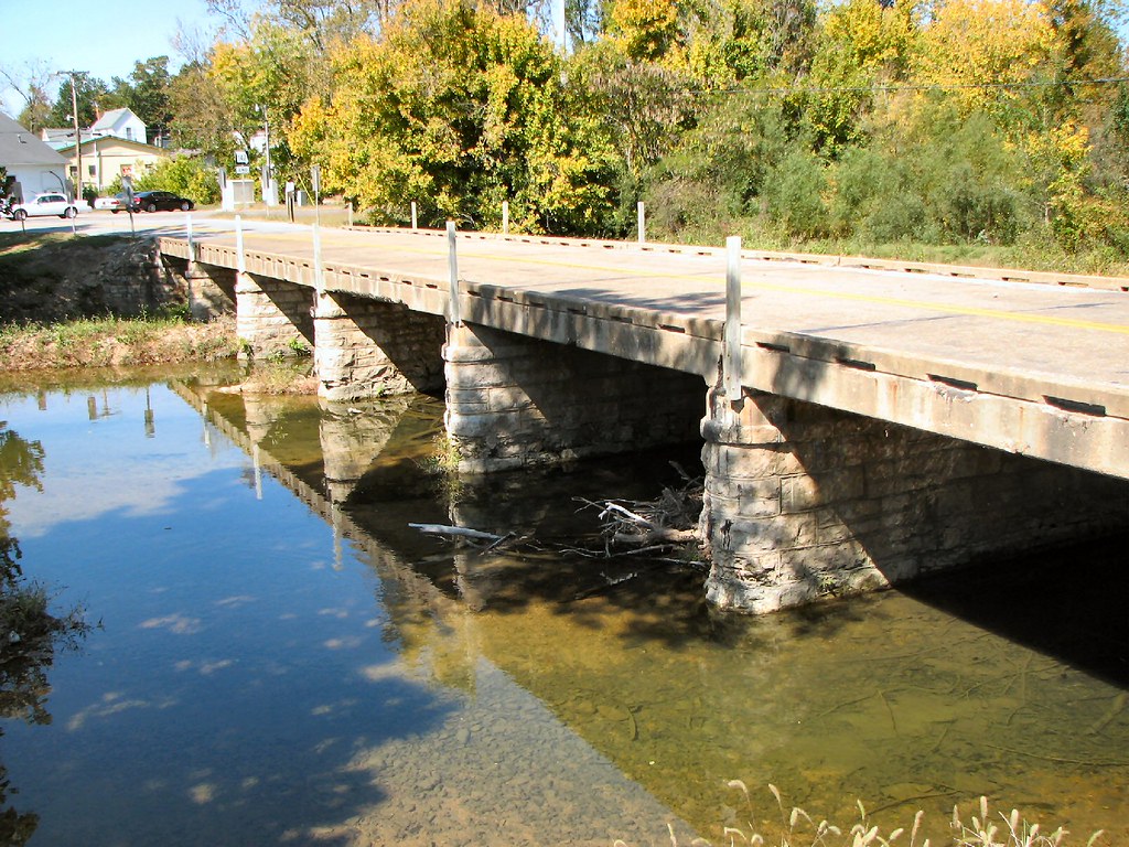
Side View: Bennett Bay Bridge
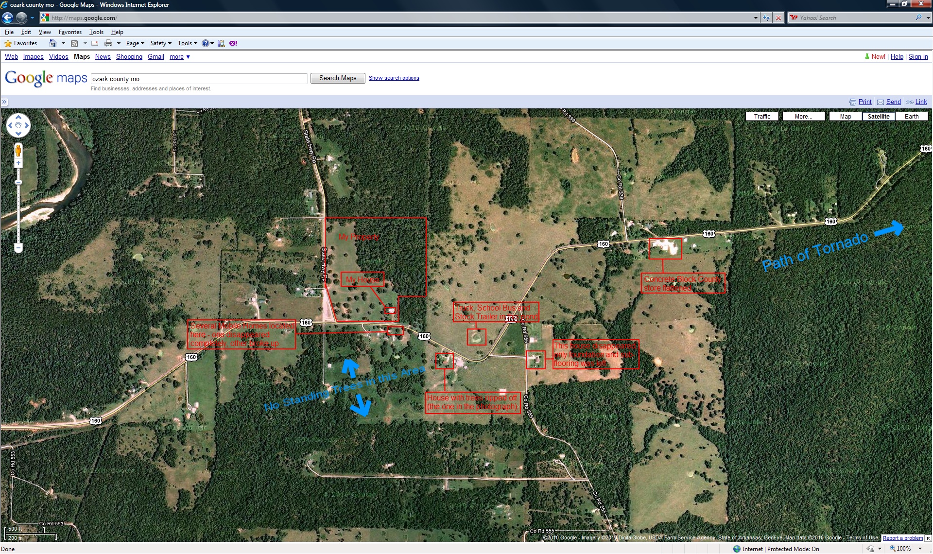
closer view of where the tornado was and my location

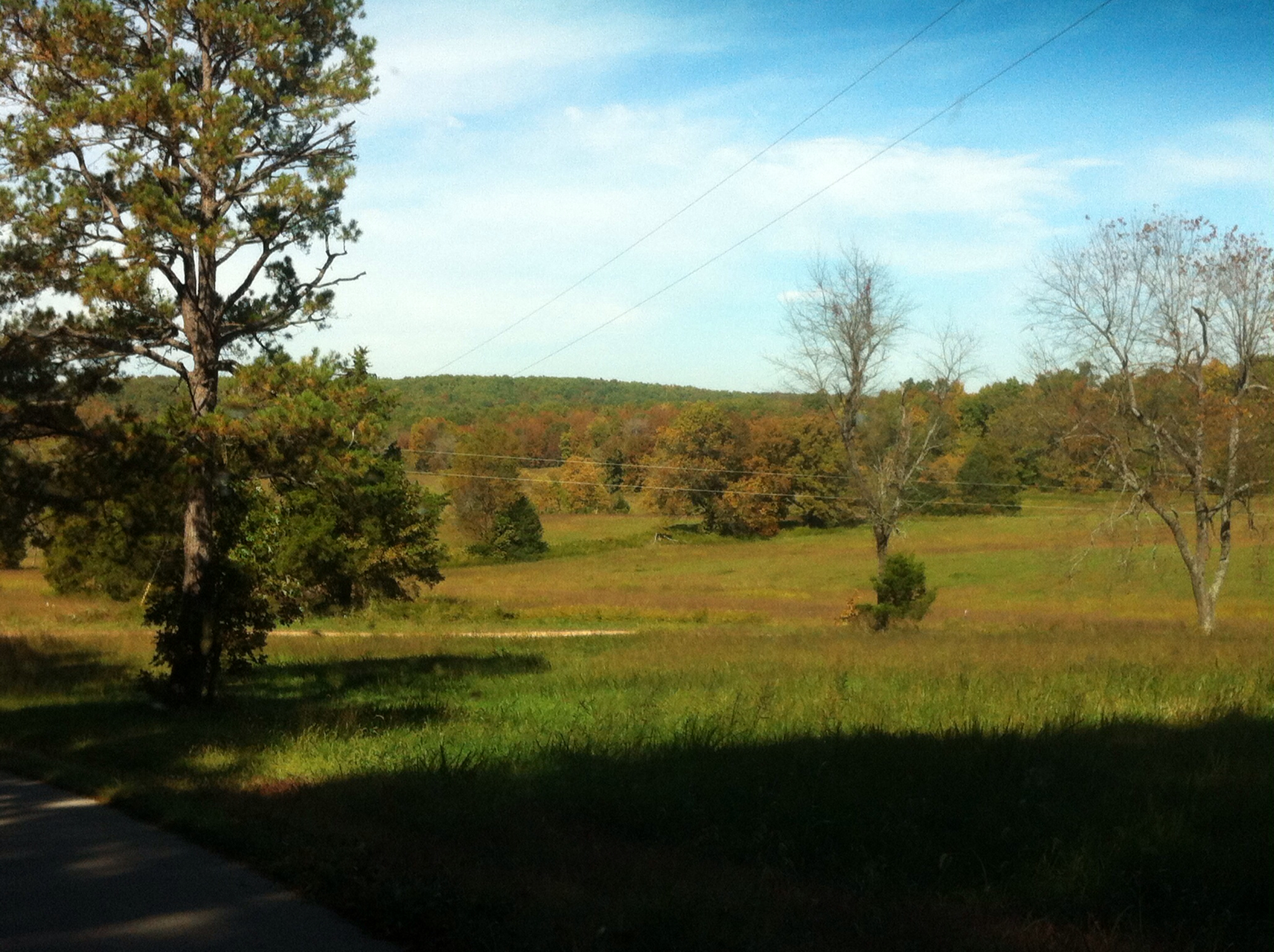
23 July 2014 | Althea Spring branch | Ozark County MO

Sunset 2-16-12

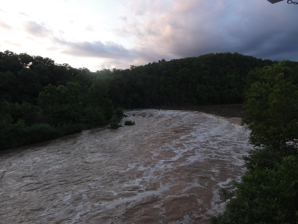
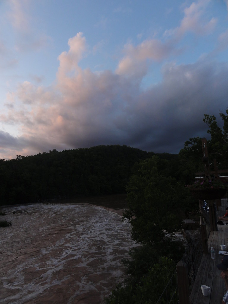
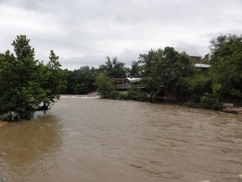
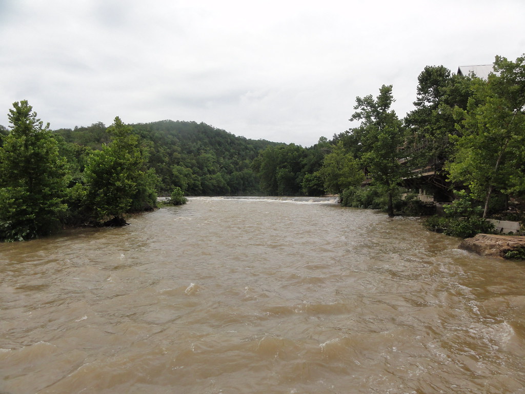
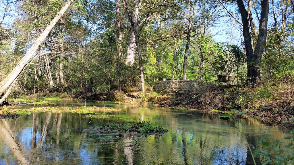
Dawt MIll - North Fork of the White River

Dawt Mill Morning
Cloud 9 Ranch
DSC03562.JPG

Dawt Mill Morning
DSC03564.JPG
DSC03569.JPG
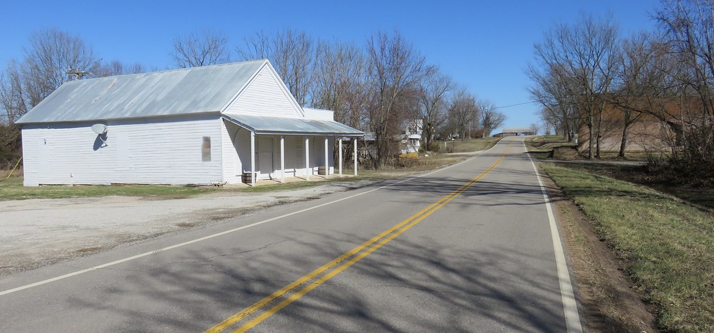
Pottersville, Missouri
DSC03579.JPG
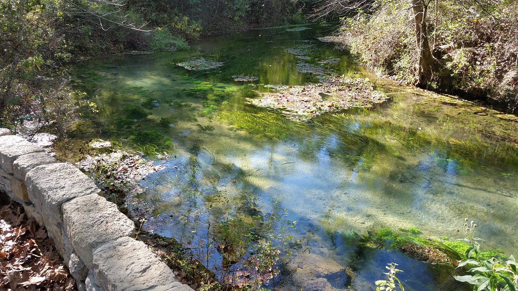
October 1, 2015 | Overlooking Lane Spring | Phelps County MO
October 1, 2015 | Lane Spring | Phelps County MO
Topographic Map of MO-, Caulfield, MO, USA
Find elevation by address:

Places near MO-, Caulfield, MO, USA:
Caulfield
Bayou Ii Township
545 Co Rd 345
1408 State Rte Kk
Spring Creek Township
1129 Co Rd 544
Pottersville
5972 State Hwy H
State Highway Pp
Dawt Township
Tecumseh
County Road 328
2712 Pvt Rd 6892
45 Trigger Ln
Co Rd, West Plains, MO, USA
Richland Township
240 Co Rd 191
29584 Us-160
29584 Us-160
613 Co Rd 379
Recent Searches:
- Elevation of Crocker Dr, Vacaville, CA, USA
- Elevation of Pu Ngaol Community Meeting Hall, HWHM+3X7, Krong Saen Monourom, Cambodia
- Elevation of Royal Ontario Museum, Queens Park, Toronto, ON M5S 2C6, Canada
- Elevation of Groblershoop, South Africa
- Elevation of Power Generation Enterprises | Industrial Diesel Generators, Oak Ave, Canyon Country, CA, USA
- Elevation of Chesaw Rd, Oroville, WA, USA
- Elevation of N, Mt Pleasant, UT, USA
- Elevation of 6 Rue Jules Ferry, Beausoleil, France
- Elevation of Sattva Horizon, 4JC6+G9P, Vinayak Nagar, Kattigenahalli, Bengaluru, Karnataka, India
- Elevation of Great Brook Sports, Gold Star Hwy, Groton, CT, USA