Elevation of US-, Tecumseh, MO, USA
Location: United States > Missouri > Ozark County > Tecumseh >
Longitude: -92.314244
Latitude: 36.5841333
Elevation: 256m / 840feet
Barometric Pressure: 98KPa
Elevation Map:
Satellite Map:
Related Photos:

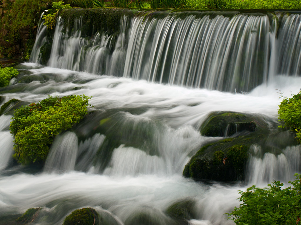
Hodgson Water Mill - No. 3

Bryant Creek

Hodgson Water Mill - No. 5

Hodgson Water Mill - No. 4

Hodgson Water Mill - No. 1

Hodgson Water Mill - No. 1
Hodgson Water Mill - Sunburst through the Trees

Hodgson Water Mill - Sunbeams through the Trees

Hodgson Water Mill - No. 2

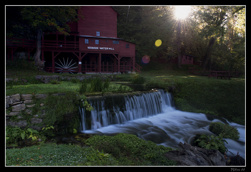
Hodgson Water Mill

White River

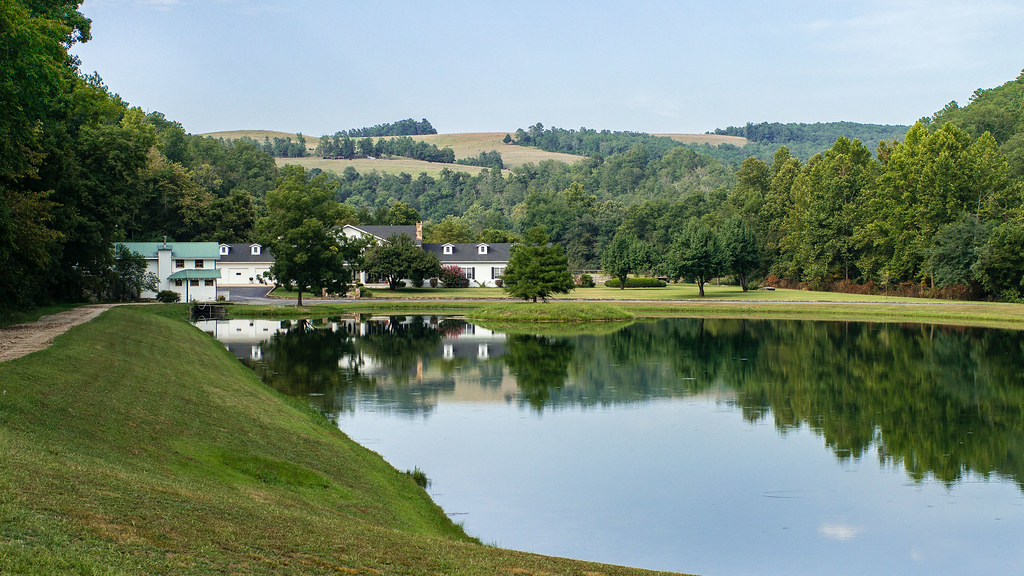
Riverfront fixer-upper with a view.

closer view of where the tornado was and my location

Luna Moth 2

Hodgson Grist Mill

Hodgson Mill
Hodgson Mill

Zanoni Mill

Hodgson Mill

Hodgson Mill

Hodgson Mill Ozark County Mo

Pier on Lake Norfork

Dawt MIll - North Fork of the White River

23 July 2014 | Althea Spring branch | Ozark County MO

Hodgson Mill

Hodgson Mill

Hodgson Mill

Hodgson Mill

Dawt Mill Morning
In Ozark County

Dawt Mill Morning

October 1, 2015 | Overlooking Lane Spring | Phelps County MO

October 1, 2015 | Lane Spring | Phelps County MO
Topographic Map of US-, Tecumseh, MO, USA
Find elevation by address:

Places near US-, Tecumseh, MO, USA:
29584 Us-160
Tecumseh
506 Hansen Ln
Dawt Township
Hardenville, MO, USA
State Highway Pp
1129 Co Rd 544
45 Trigger Ln
Bridges Township
County Road 328
5972 State Hwy H
Pine Creek Township
Ozark County
545 Co Rd 345
Gainesville
1065 Co Rd 806
Bayou Ii Township
Richland Township
240 Co Rd 191
County Road 145
Recent Searches:
- Elevation of 3 Nestling Wood Dr, Long Valley, NJ, USA
- Elevation of Ilungu, Tanzania
- Elevation of Yellow Springs Road, Yellow Springs Rd, Chester Springs, PA, USA
- Elevation of Rēzekne Municipality, Latvia
- Elevation of Plikpūrmaļi, Vērēmi Parish, Rēzekne Municipality, LV-, Latvia
- Elevation of 2 Henschke Ct, Caboolture QLD, Australia
- Elevation of Redondo Ave, Long Beach, CA, USA
- Elevation of Sadovaya Ulitsa, 20, Rezh, Sverdlovskaya oblast', Russia
- Elevation of Ulitsa Kalinina, 79, Rezh, Sverdlovskaya oblast', Russia
- Elevation of 72-31 Metropolitan Ave, Middle Village, NY, USA