Elevation of Co Rd, Caulfield, MO, USA
Location: United States > Missouri > Howell County > Benton Township > Caulfield >
Longitude: -92.225939
Latitude: 36.5722487
Elevation: 221m / 725feet
Barometric Pressure: 99KPa
Elevation Map:
Satellite Map:
Related Photos:

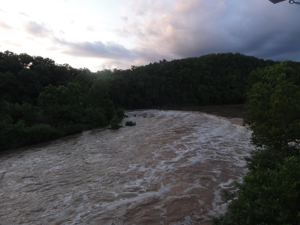
Bryant Creek
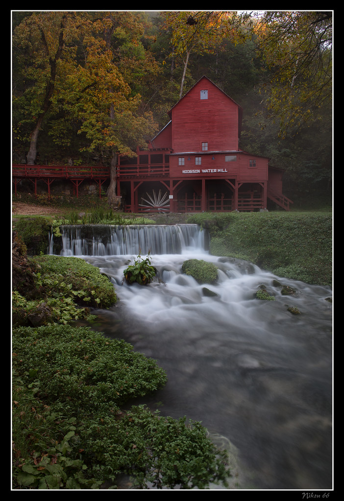
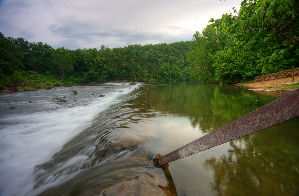
Hodgson Water Mill - No. 1
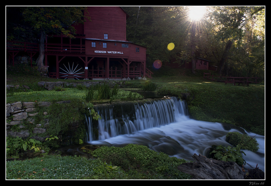
Hodgson Water Mill - Sunburst through the Trees

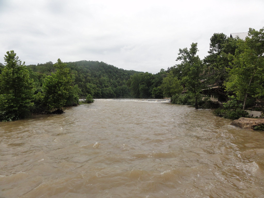
White River

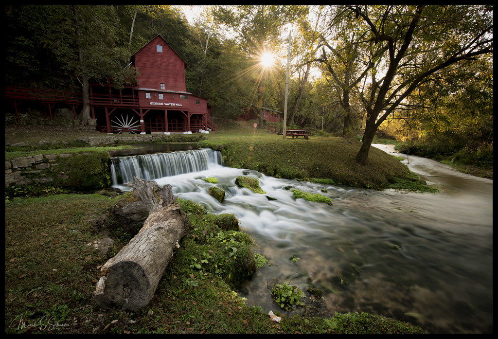
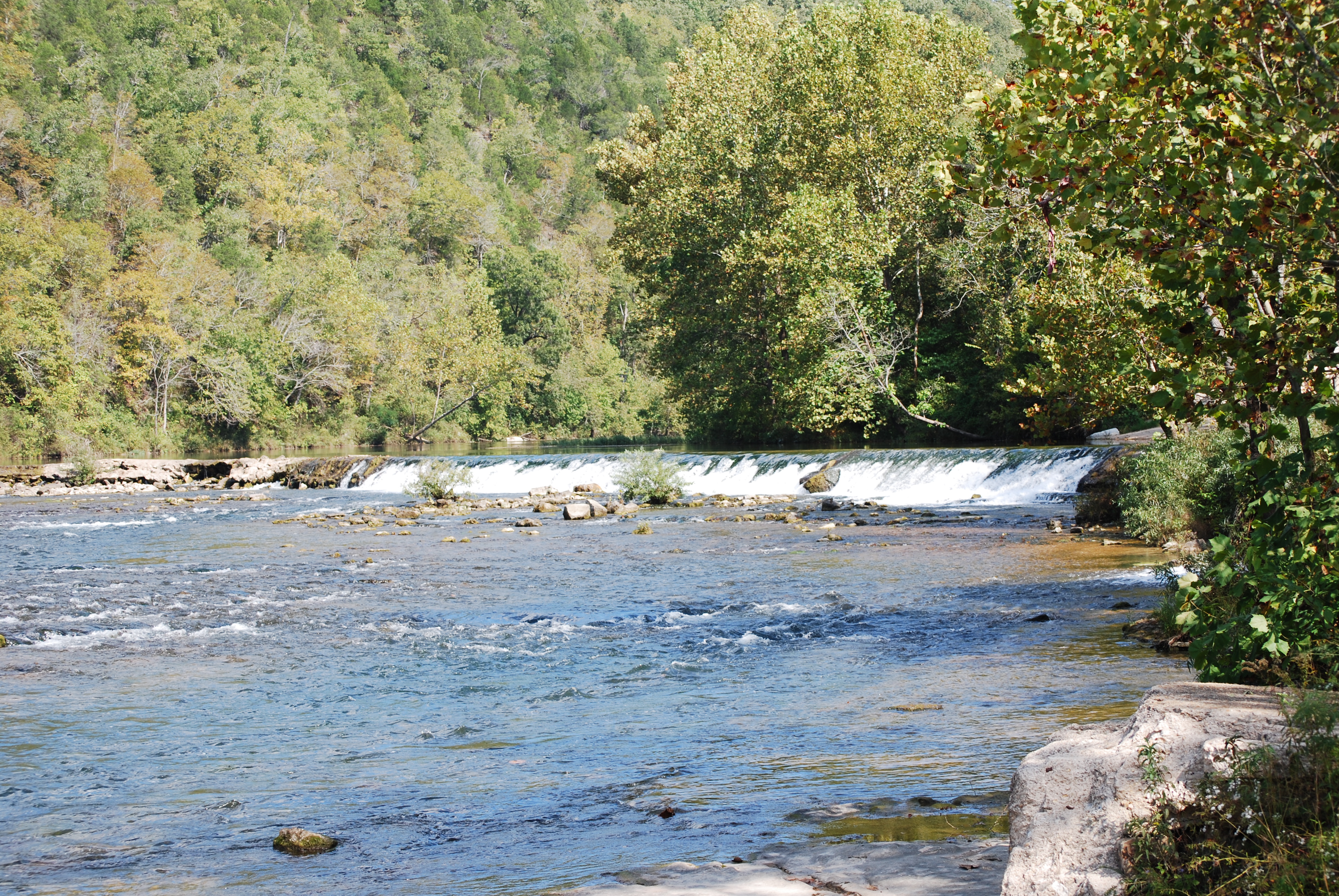
Hodgson Water Mill - No. 2

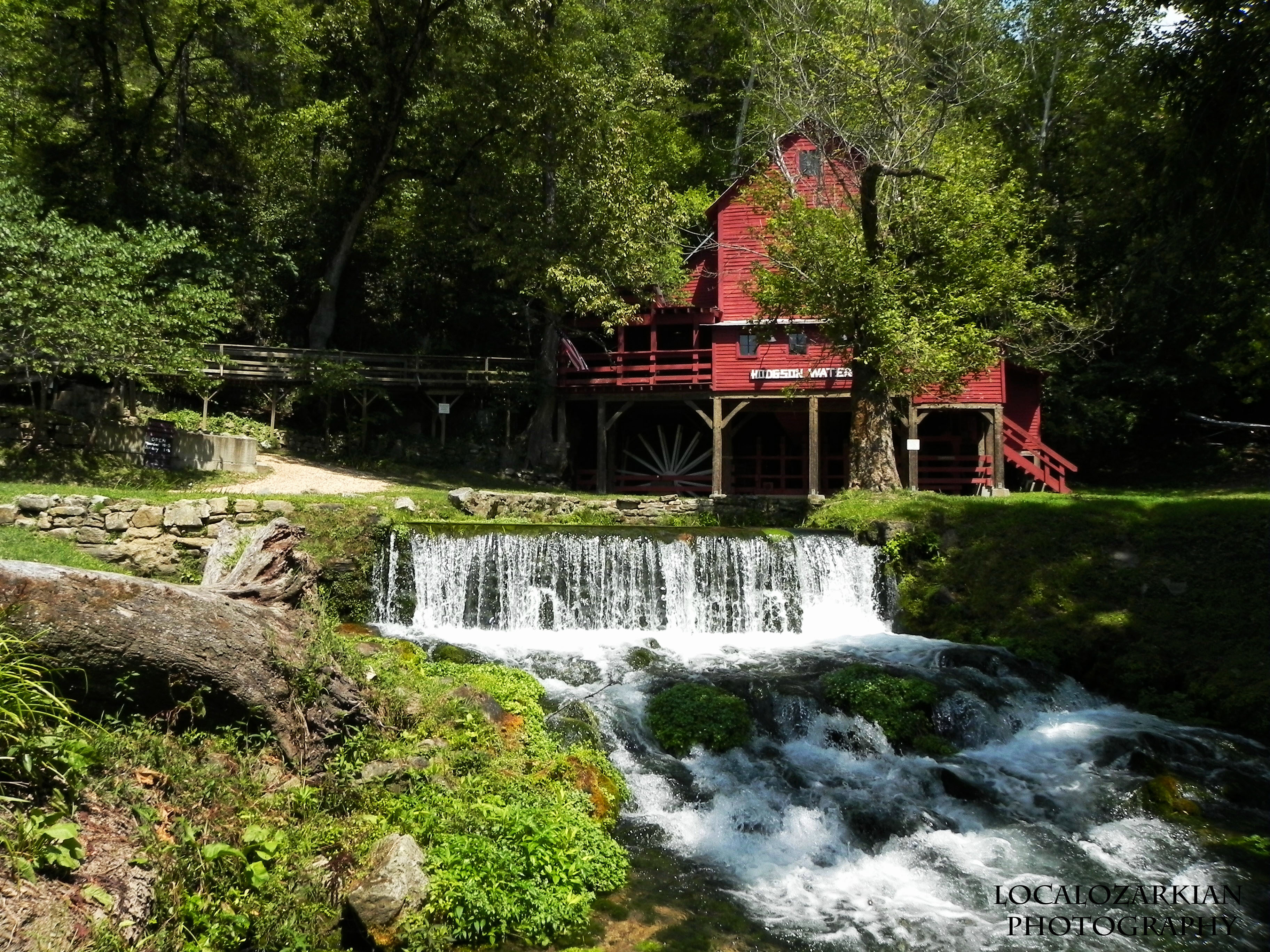
Hodgson Water Mill
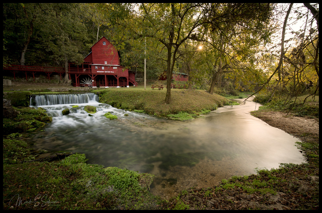
Hodgson Water Mill - No. 3
Hodgson Water Mill - No. 4

Hodgson Water Mill - No. 1
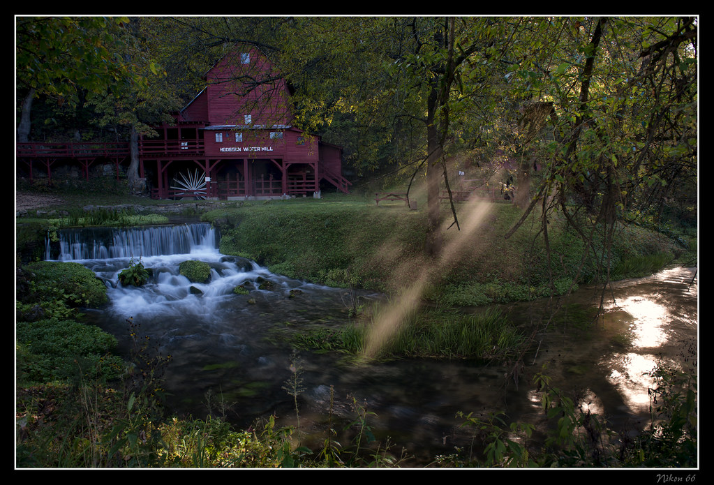
Hodgson Water Mill - Sunbeams through the Trees
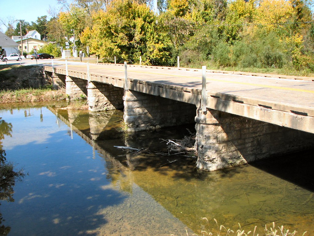
Side View: Bennett Bay Bridge

Luna Moth 2
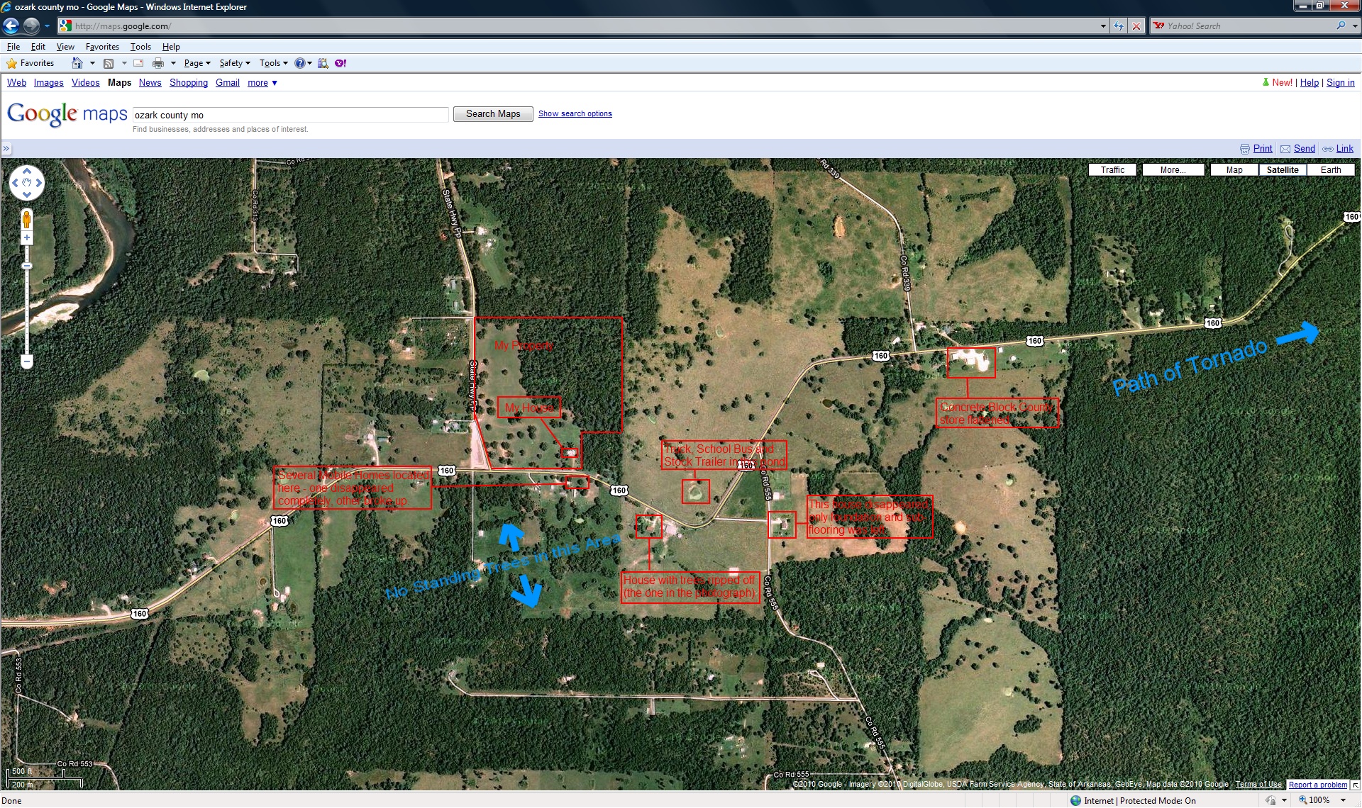
closer view of where the tornado was and my location

Hodgson Mill
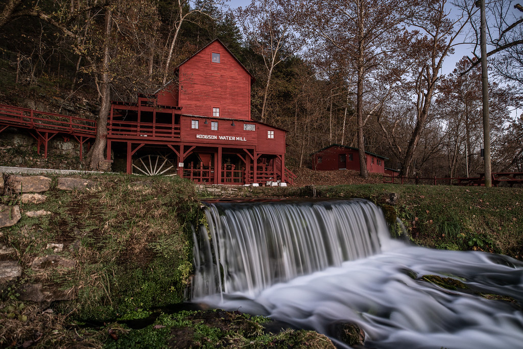
Hodgson Grist Mill

Pier on Lake Norfork
Riverfront fixer-upper with a view.
Zanoni Mill
Hodgson Mill

Hodgson Mill Ozark County Mo

In Ozark County
Cloud 9 Ranch
DSC03562.JPG
Dawt Mill Morning
DSC03564.JPG
Dawt Mill Dam
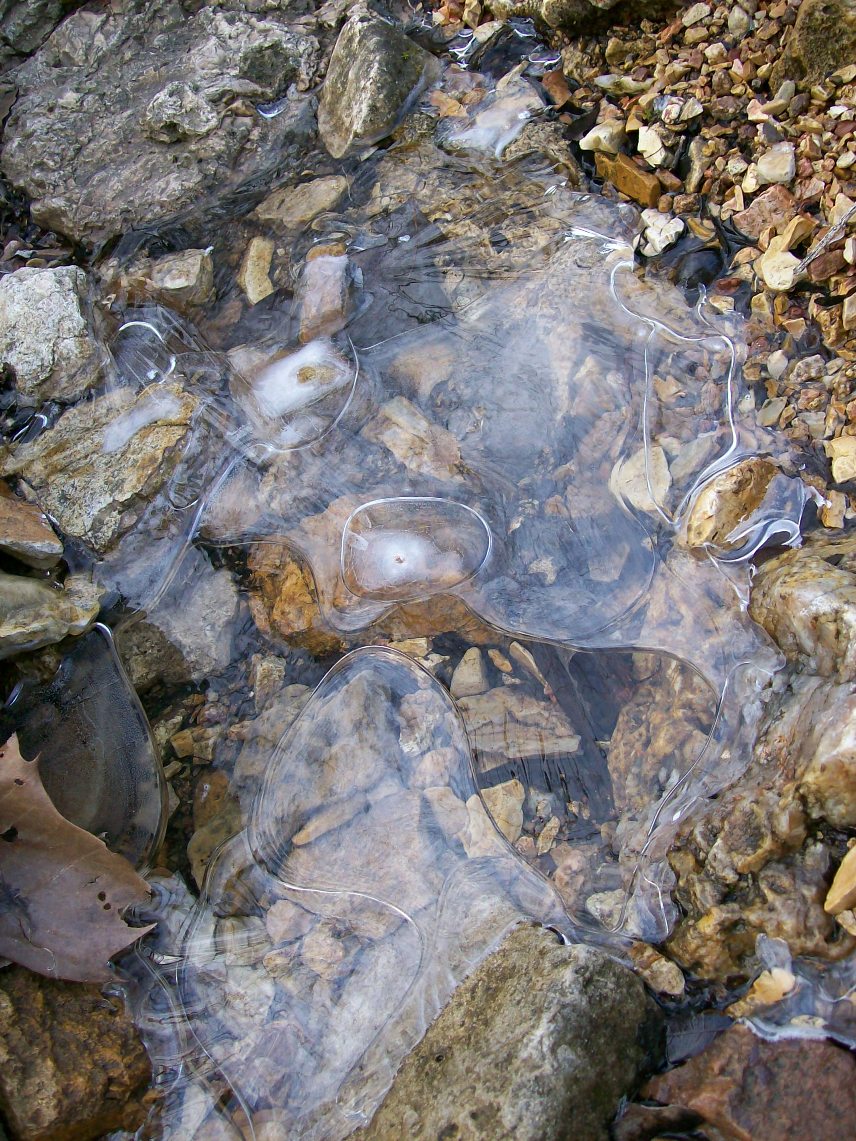
Ice creek
DSC03579.JPG
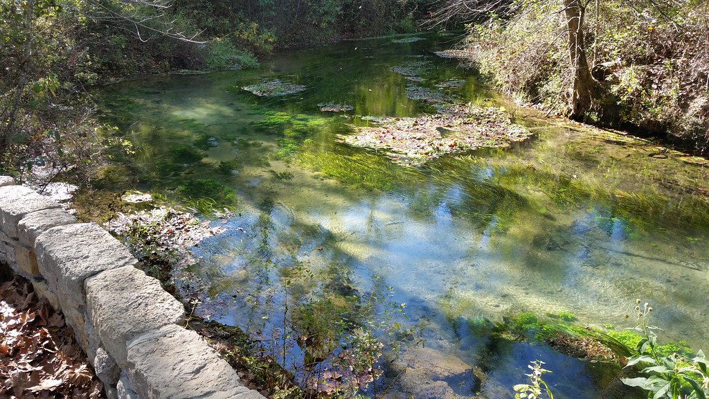
October 1, 2015 | Overlooking Lane Spring | Phelps County MO
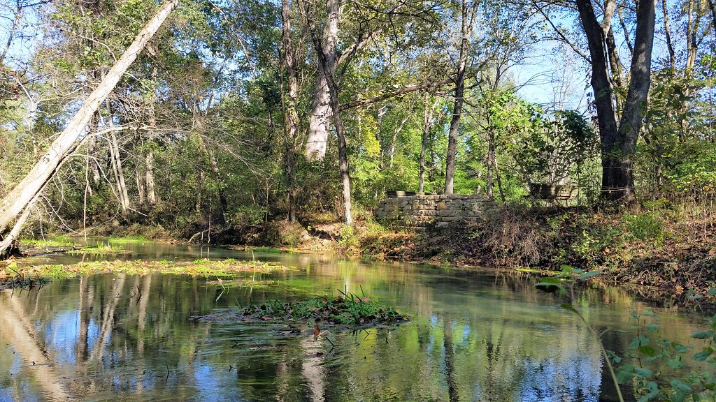
October 1, 2015 | Lane Spring | Phelps County MO
Hodgson Mill
Topographic Map of Co Rd, Caulfield, MO, USA
Find elevation by address:

Places near Co Rd, Caulfield, MO, USA:
Dawt Township
545 Co Rd 345
State Highway Pp
Tecumseh
Bayou Ii Township
5972 State Hwy H
29584 Us-160
29584 Us-160
County Road 328
45 Trigger Ln
12468 Mo-101
506 Hansen Ln
Caulfield
Hardenville, MO, USA
Pine Creek Township
Richland Township
Bridges Township
240 Co Rd 191
Ozark County
613 Co Rd 379
Recent Searches:
- Elevation of Gateway Blvd SE, Canton, OH, USA
- Elevation of East W.T. Harris Boulevard, E W.T. Harris Blvd, Charlotte, NC, USA
- Elevation of West Sugar Creek, Charlotte, NC, USA
- Elevation of Wayland, NY, USA
- Elevation of Steadfast Ct, Daphne, AL, USA
- Elevation of Lagasgasan, X+CQH, Tiaong, Quezon, Philippines
- Elevation of Rojo Ct, Atascadero, CA, USA
- Elevation of Flagstaff Drive, Flagstaff Dr, North Carolina, USA
- Elevation of Avery Ln, Lakeland, FL, USA
- Elevation of Woolwine, VA, USA