Elevation of Cushman, AR, USA
Location: United States > Arkansas > Independence County > Cushman-union Township >
Longitude: -91.754031
Latitude: 35.8728521
Elevation: 213m / 699feet
Barometric Pressure: 99KPa
Elevation Map:
Satellite Map:
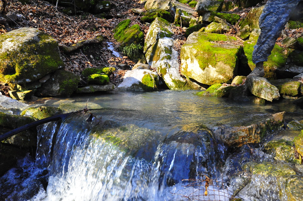
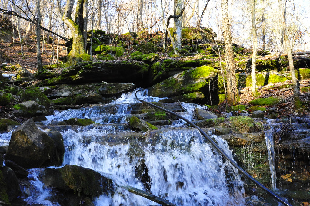
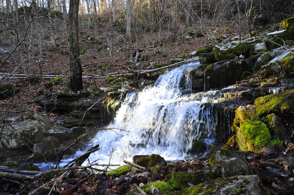
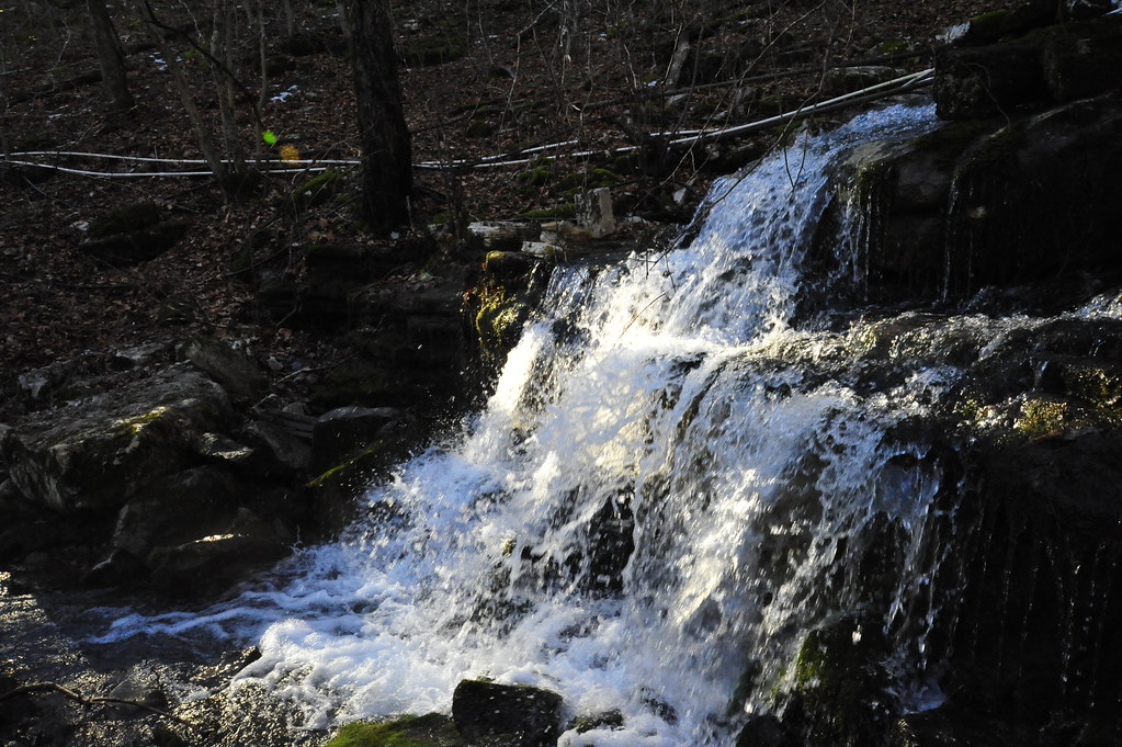
Related Photos:
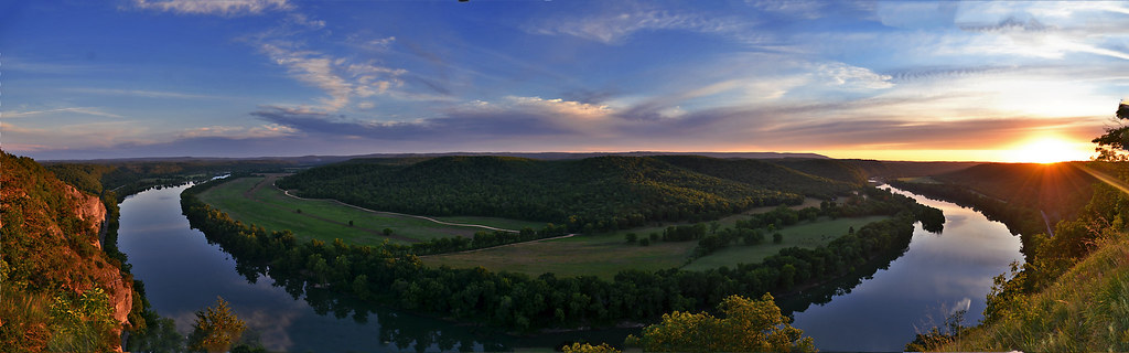
A Bend in the River a view from Painters Bluff in Arkansas (Press "L")

Nature 3G
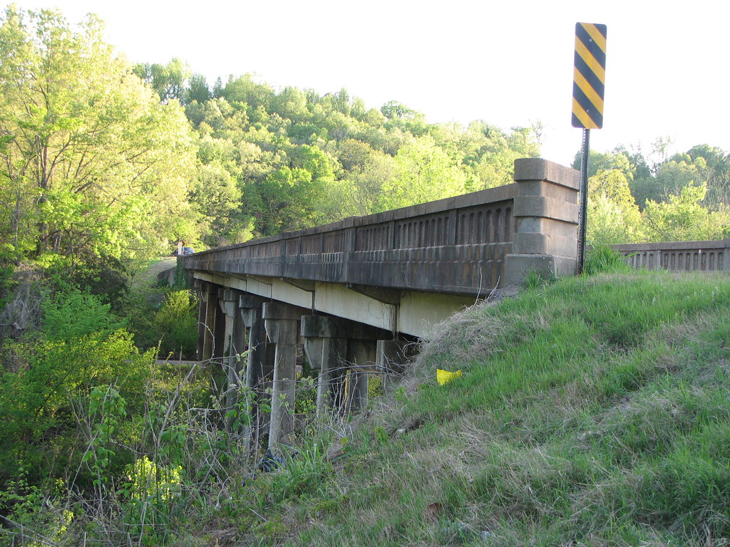
Side View-AR 233 Miller Creek Bridge
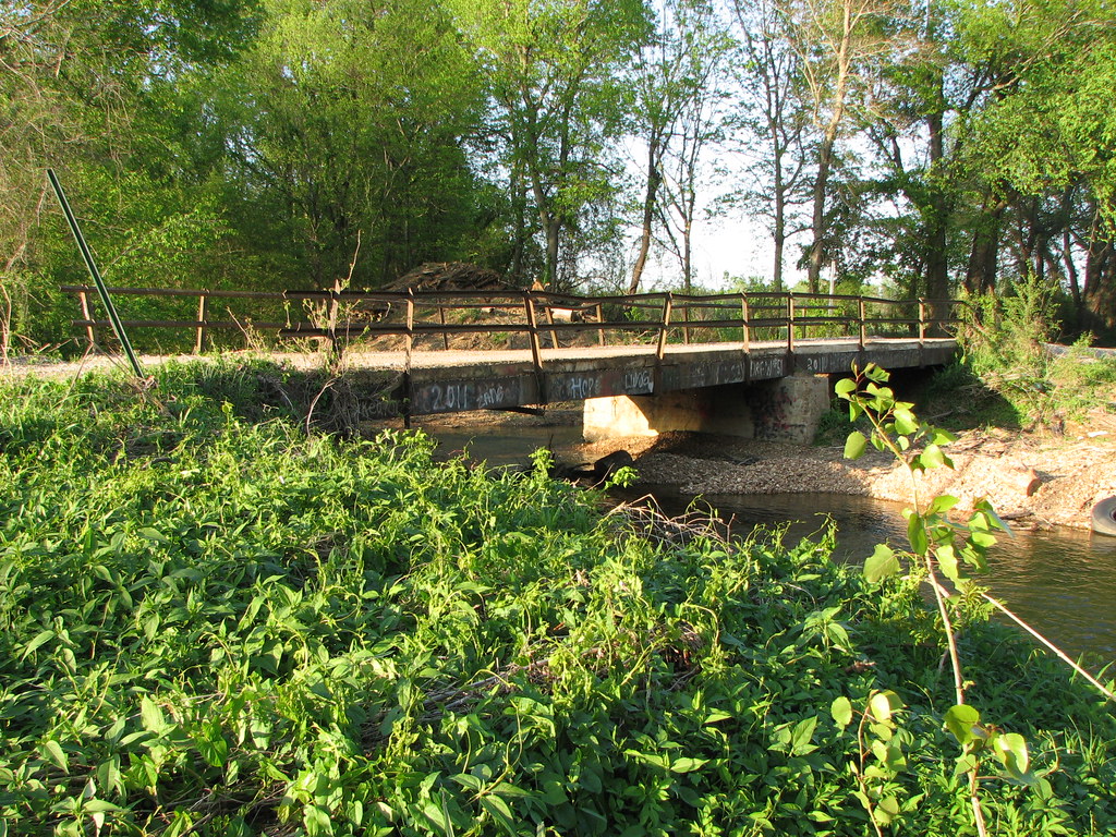
Side View- Pfeiffer Creek Bridge

Miller Creek-Side View Looking East

Miller Creek Bridge-Side View
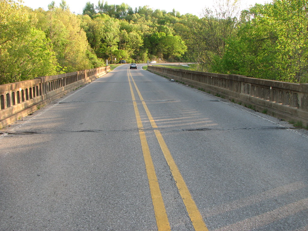
Deck View-AR 233 Miller Creek Bridge
_NEJ4415_20090202_092518.JPG
_NEJ4384_20090202_091636.JPG
_NEJ4385_20090202_091644.JPG
_NEJ4387_20090202_091718.JPG
Topographic Map of Cushman, AR, USA
Find elevation by address:

Places in Cushman, AR, USA:
Places near Cushman, AR, USA:
8496 Ar-69
Barren Fork Township
Mount Pleasant
West Sullivan Township
Sidney
Sidney Rd, Sidney, AR, USA
East Sullivan Township
515 Laman St
515 Laman St
515 Laman St
500 Matlock Rd
US-, Cave City, AR, USA
Cave City
E Center St, Cave City, AR, USA
Cave
Barren Township
102 W Red Barn Rd
671 Antioch Rd
1005 Sunset Ridge
Cave Township
Recent Searches:
- Elevation of Spaceport America, Co Rd A, Truth or Consequences, NM, USA
- Elevation of Warwick, RI, USA
- Elevation of Fern Rd, Whitmore, CA, USA
- Elevation of 62 Abbey St, Marshfield, MA, USA
- Elevation of Fernwood, Bradenton, FL, USA
- Elevation of Felindre, Swansea SA5 7LU, UK
- Elevation of Leyte Industrial Development Estate, Isabel, Leyte, Philippines
- Elevation of W Granada St, Tampa, FL, USA
- Elevation of Pykes Down, Ivybridge PL21 0BY, UK
- Elevation of Jalan Senandin, Lutong, Miri, Sarawak, Malaysia