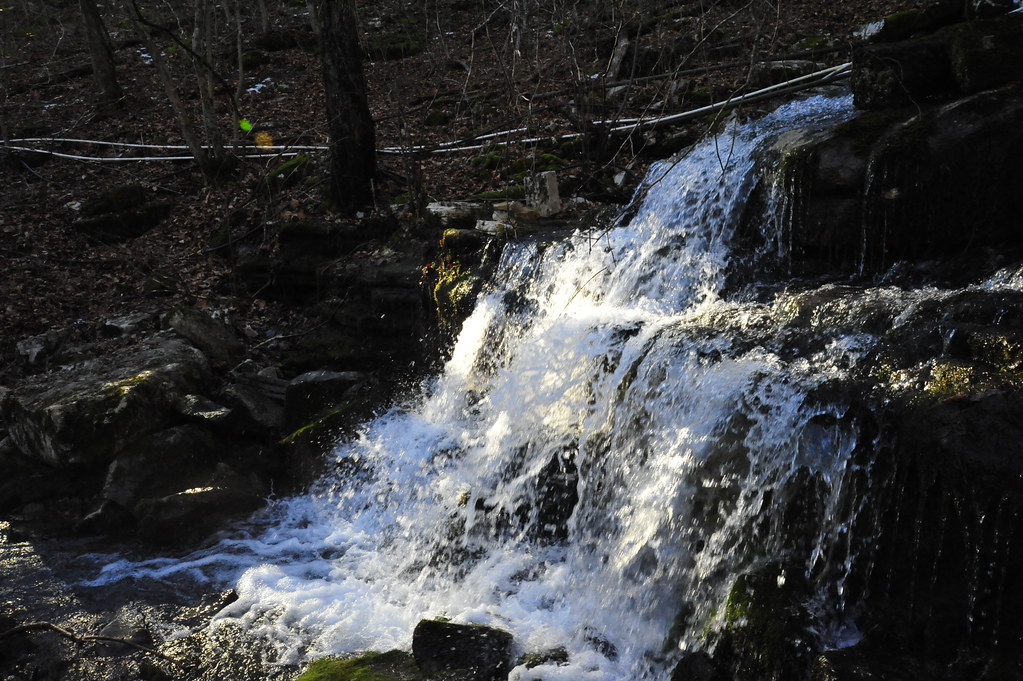
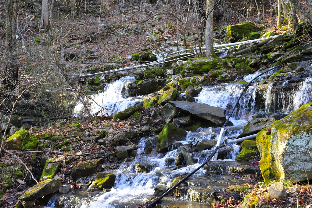
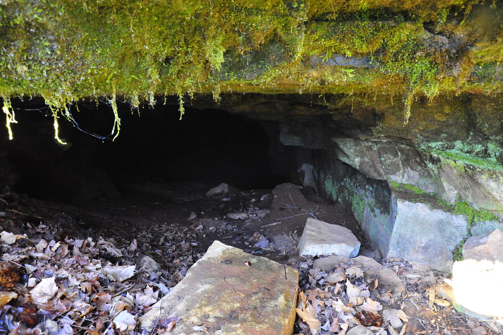
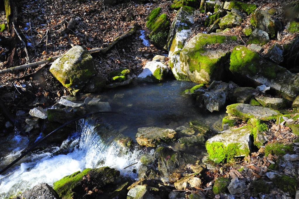
Elevation of Blowing Cave Spring, Cushman, AR, USA
Location: United States > Arkansas > Independence County > Cushman-union Township > Cushman >
Longitude: -91.773754
Latitude: 35.8753521
Elevation: 172m / 564feet
Barometric Pressure: 99KPa
Elevation Map:
Satellite Map:
Related Photos:
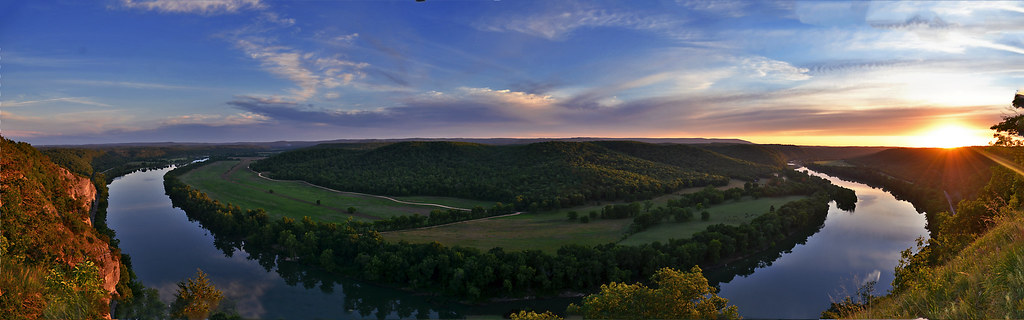
A Bend in the River a view from Painters Bluff in Arkansas (Press "L")
_NEJ4415_20090202_092518.JPG
_NEJ4384_20090202_091636.JPG
_NEJ4385_20090202_091644.JPG
_NEJ4387_20090202_091718.JPG
_NEJ4381_20090202_091530.JPG
_NEJ4409_20090202_092342.JPG
_NEJ4406_20090202_092214.JPG
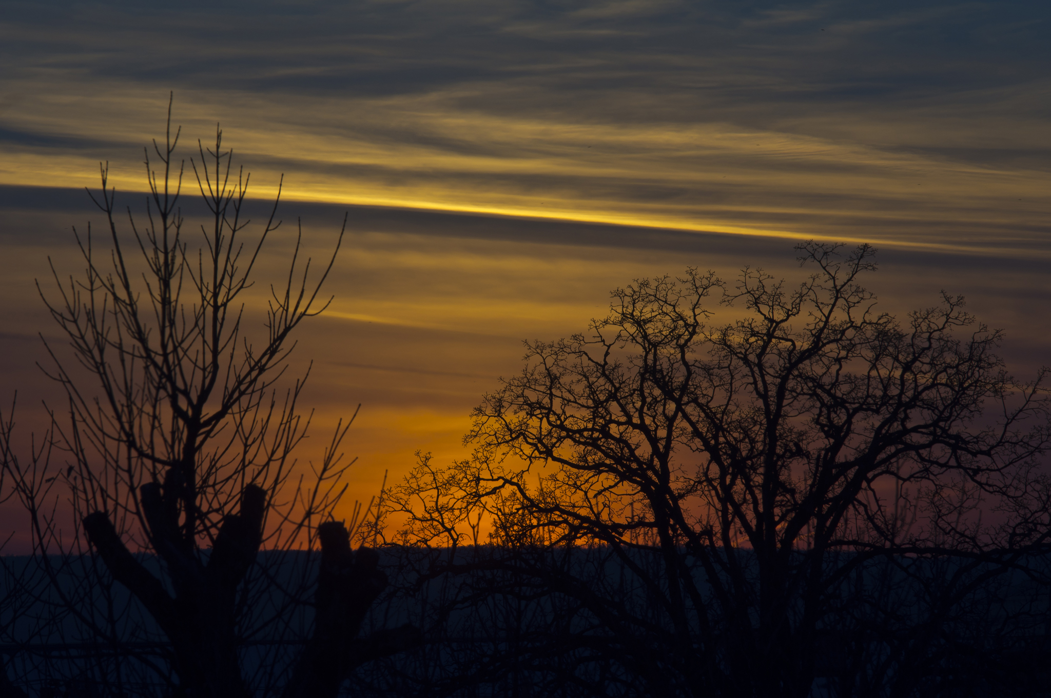
More Sunset Shots from my Desk
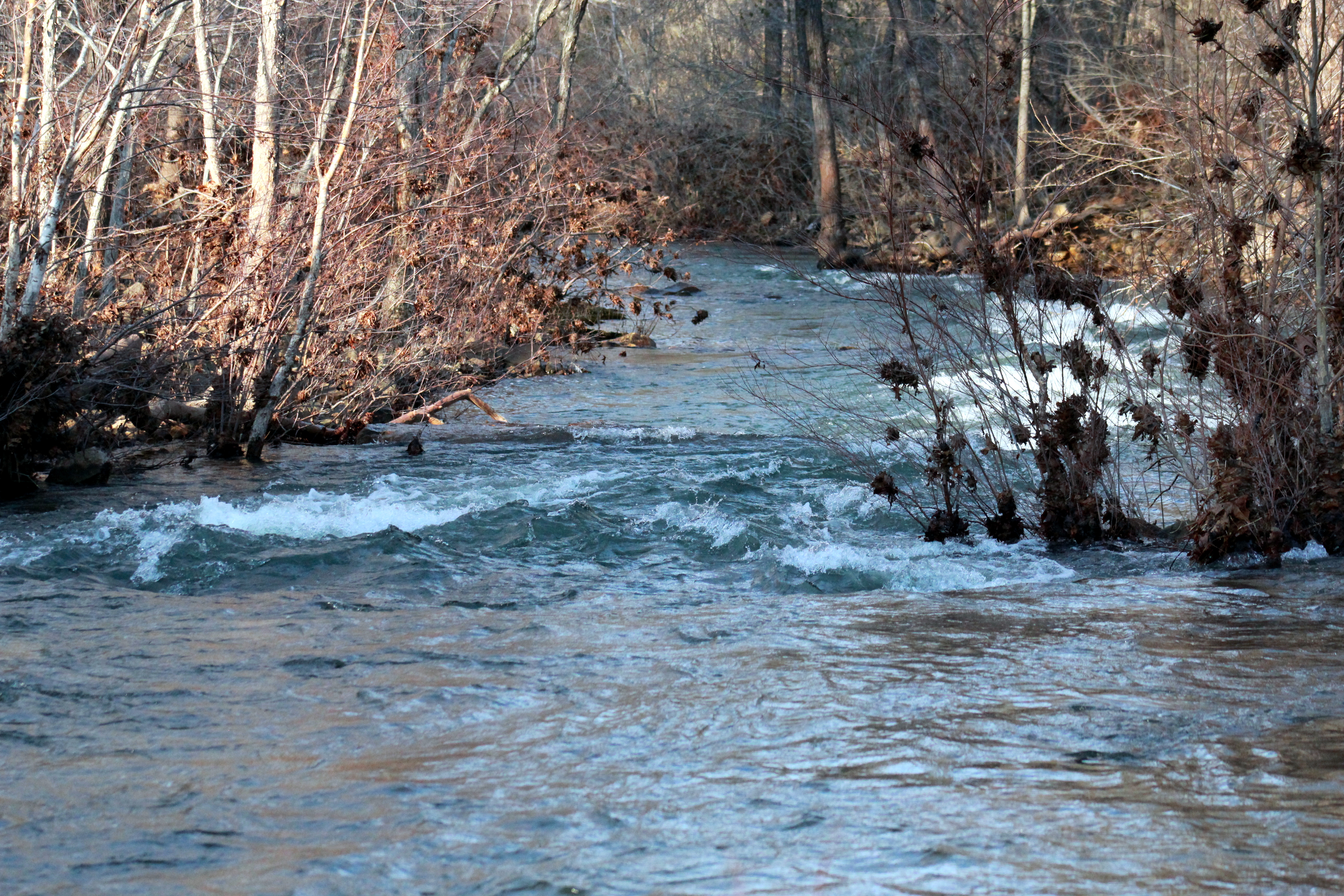
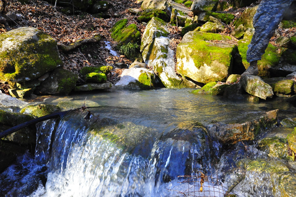
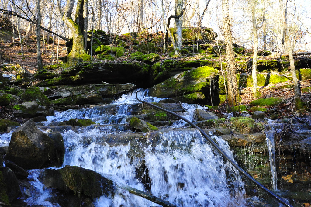
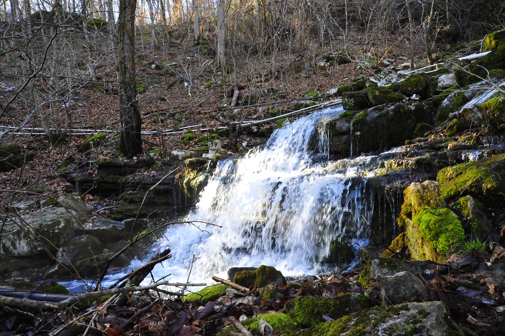
Marcella Creek 2
Topographic Map of Blowing Cave Spring, Cushman, AR, USA
Find elevation by address:

Places near Blowing Cave Spring, Cushman, AR, USA:
Cushman-union Township
Blowing Cave Creek
248 Blue Church Ln
Johnson Loop
Gid Township
Sage and Guion Rd, Guion, AR, USA
Guion
Main St, Melbourne, AR, USA
Guion Township
Highway 58
Jones Township
Washington Township
2935 Round Bottom Rd
Round Bottom Road
White River Township
Mount Olive Township
551 Webb Acres Dr
Blue Mountain Township
100 Bickles Cove
501 Hayden Heights Rd
Recent Searches:
- Elevation of Vista Blvd, Sparks, NV, USA
- Elevation of 15th Ave SE, St. Petersburg, FL, USA
- Elevation of Beall Road, Beall Rd, Florida, USA
- Elevation of Leguwa, Nepal
- Elevation of County Rd, Enterprise, AL, USA
- Elevation of Kolchuginsky District, Vladimir Oblast, Russia
- Elevation of Shustino, Vladimir Oblast, Russia
- Elevation of Lampiasi St, Sarasota, FL, USA
- Elevation of Elwyn Dr, Roanoke Rapids, NC, USA
- Elevation of Congressional Dr, Stevensville, MD, USA