Elevation of Round Bottom Road, Round Bottom Rd, Mountain View, AR, USA
Location: United States > Arkansas > Stone County > Washington Township >
Longitude: -92.047316
Latitude: 35.9299481
Elevation: 234m / 768feet
Barometric Pressure: 99KPa
Elevation Map:
Satellite Map:
Related Photos:
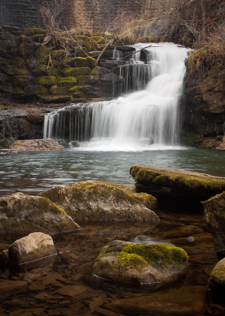
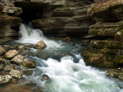
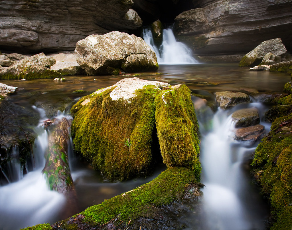
another dam waterfall
Mt. View Tornado (24)

Todd Brothers Blue Grass
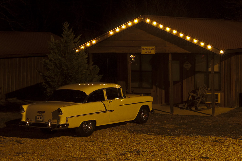
Christmas at the Old Fishin Cabin
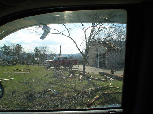
Mt. View Tornado (45)
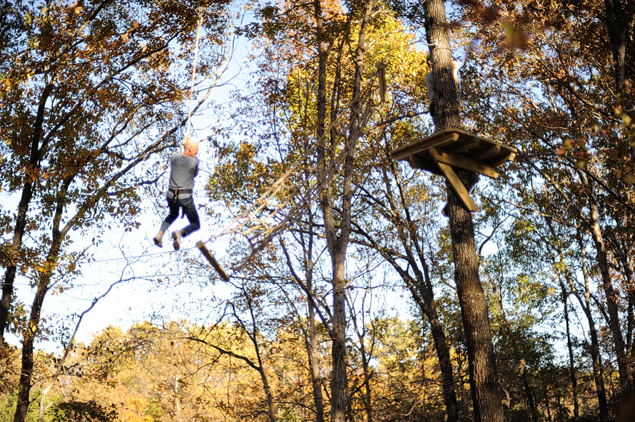
Loco Ropes! Ziplines >> Tarzan Swings >> Ropes Course

Mt. View Tornado (14)
Blanchard Springs Arkansas

blanchard springs from sideb
blanchard springs 1
blanchard springs front
Blanchard Springs
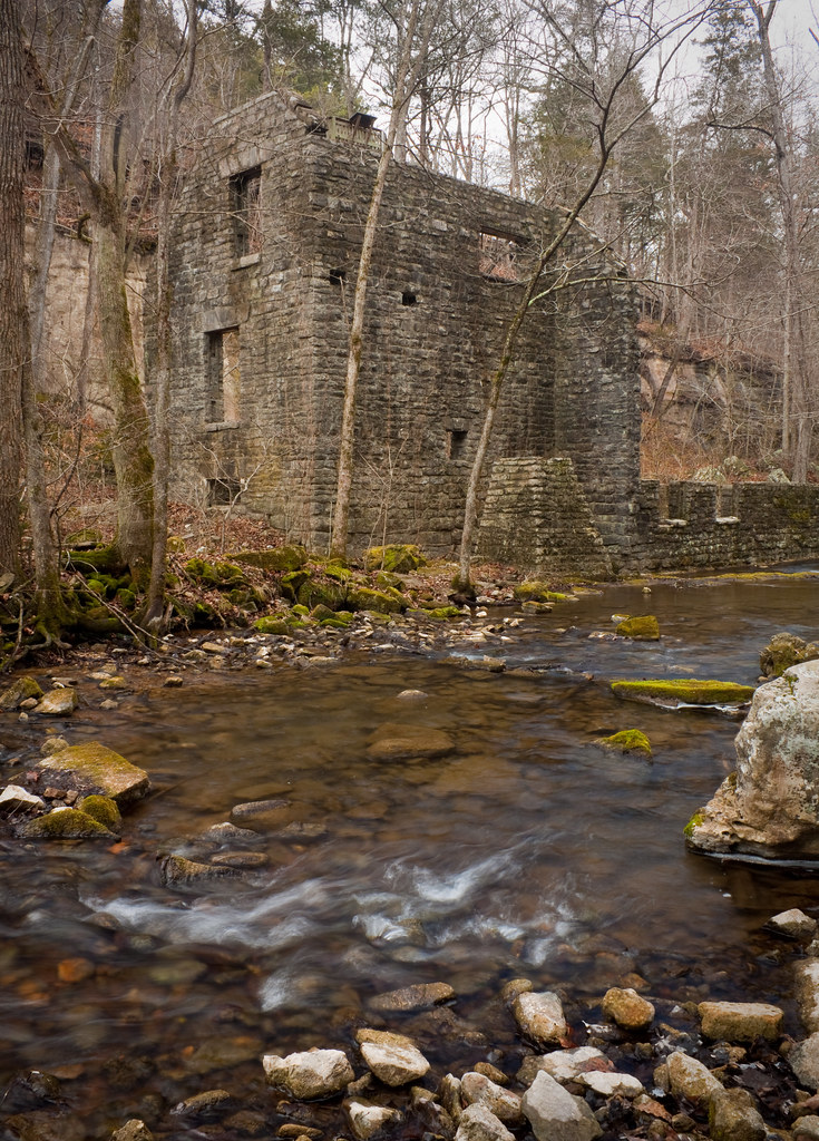
milling around
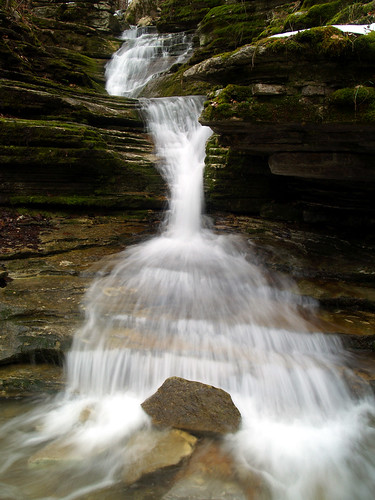
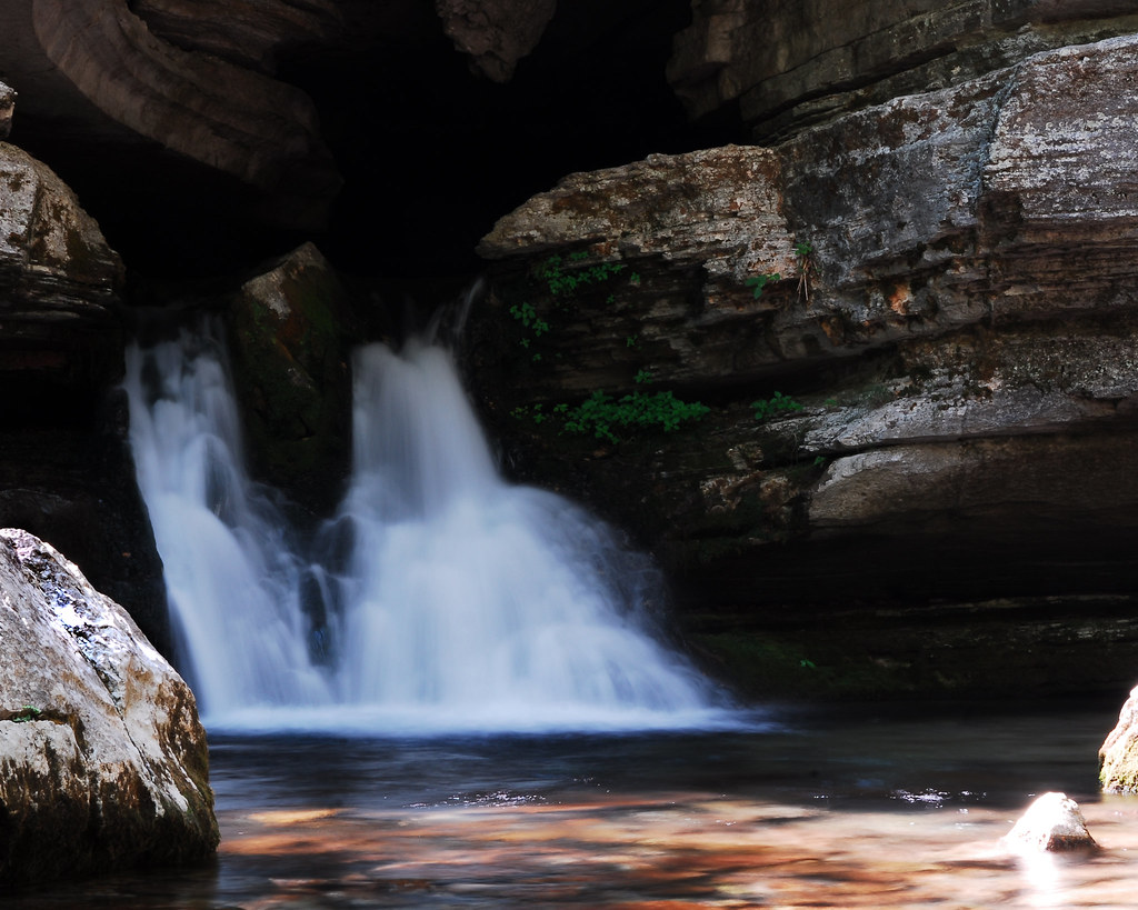
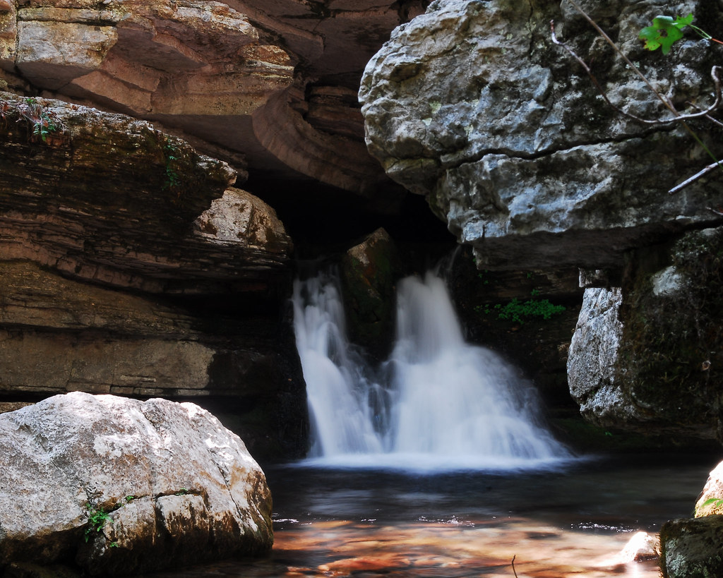
Waterfall surprise
Blanchard Spring
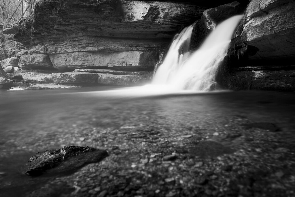
Blanchard Springs in Black and White
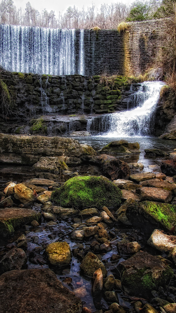
Mirror Lake Dam
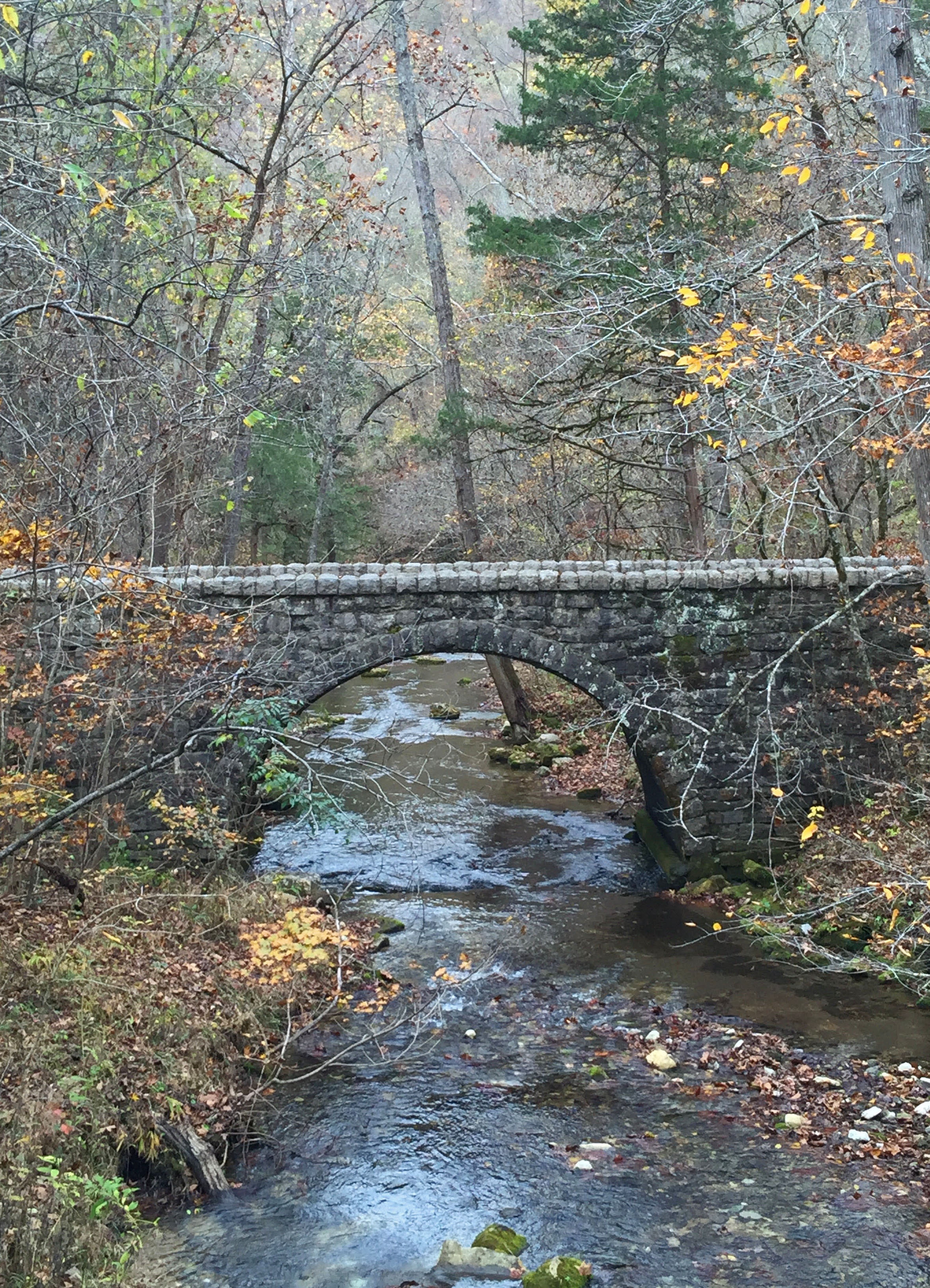
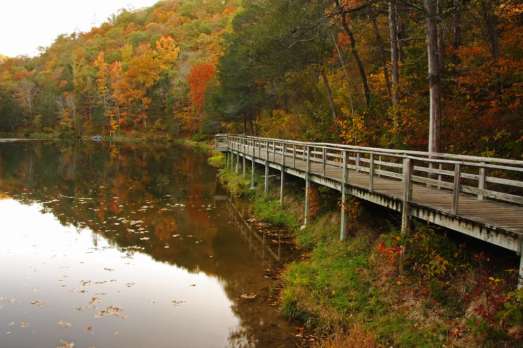
bridge at Blanchard Springs recreation area, AR
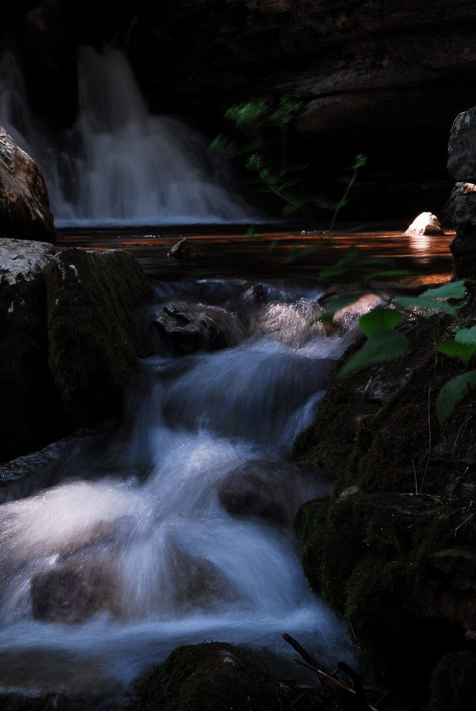
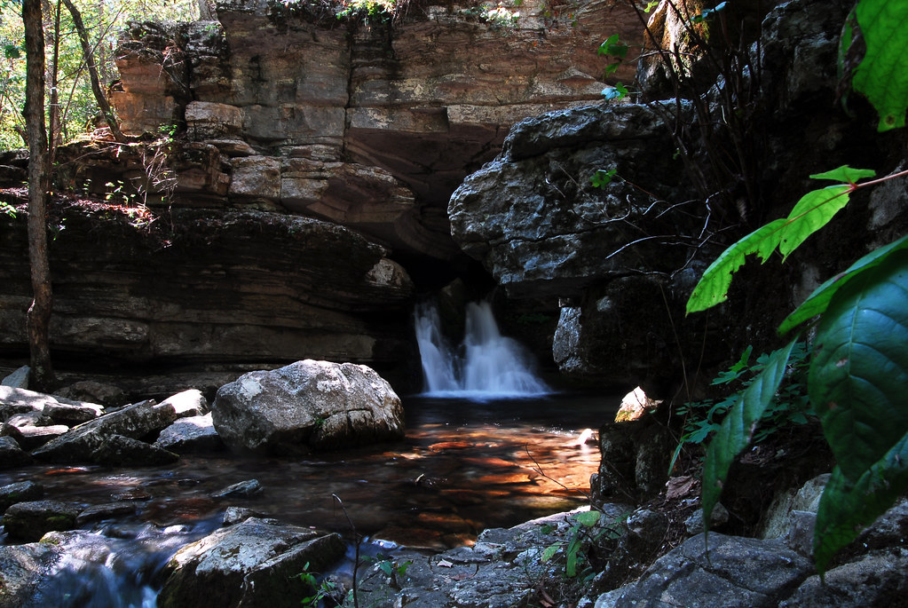
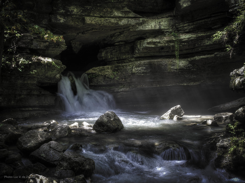
below blanchard springs
Don't drink the water
OLYMPUS DIGITAL CAMERA
blanchard springs 3
Topographic Map of Round Bottom Road, Round Bottom Rd, Mountain View, AR, USA
Find elevation by address:

Places near Round Bottom Road, Round Bottom Rd, Mountain View, AR, USA:
2935 Round Bottom Rd
Washington Township
White River Township
551 Webb Acres Dr
501 Hayden Heights Rd
Sylamore
100 Bickles Cove
Mount Olive Township
Blue Mountain Township
Mount Olive
Jones Township
Highway 58
Main St, Melbourne, AR, USA
Guion
Guion Township
Gid Township
Sage and Guion Rd, Guion, AR, USA
248 Blue Church Ln
Blowing Cave Creek
Johnson Loop
Recent Searches:
- Elevation of Vista Blvd, Sparks, NV, USA
- Elevation of 15th Ave SE, St. Petersburg, FL, USA
- Elevation of Beall Road, Beall Rd, Florida, USA
- Elevation of Leguwa, Nepal
- Elevation of County Rd, Enterprise, AL, USA
- Elevation of Kolchuginsky District, Vladimir Oblast, Russia
- Elevation of Shustino, Vladimir Oblast, Russia
- Elevation of Lampiasi St, Sarasota, FL, USA
- Elevation of Elwyn Dr, Roanoke Rapids, NC, USA
- Elevation of Congressional Dr, Stevensville, MD, USA