Elevation of Mount Pleasant, Mt Pleasant, AR, USA
Location: United States > Arkansas > Izard County >
Longitude: -91.755699
Latitude: 35.9617389
Elevation: 190m / 623feet
Barometric Pressure: 99KPa
Elevation Map:
Satellite Map:
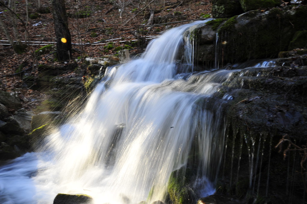
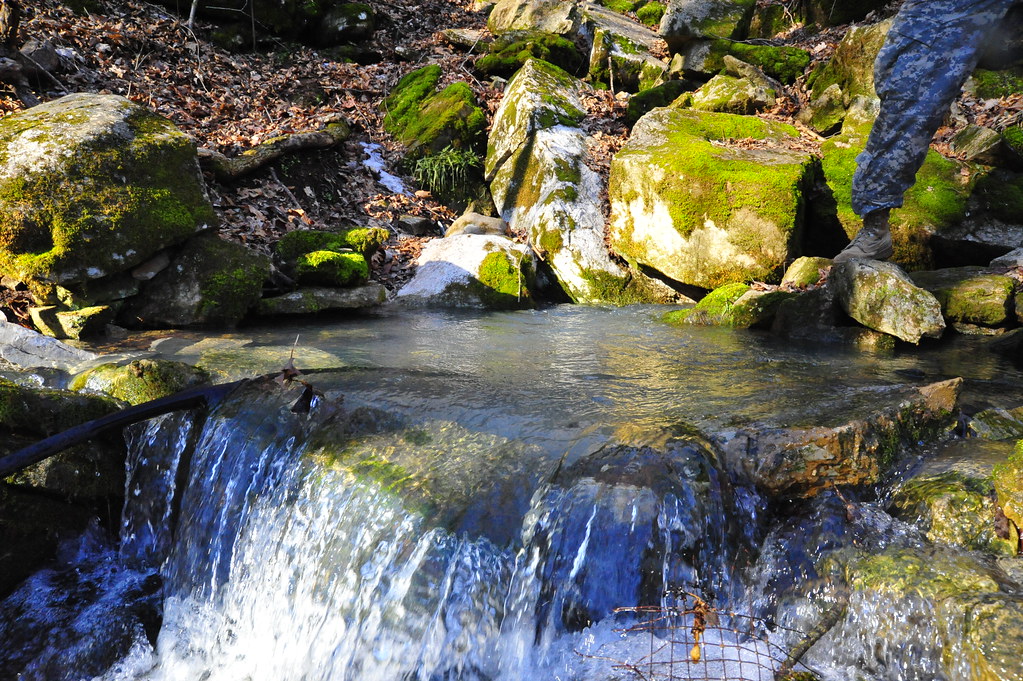
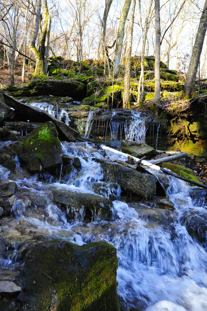
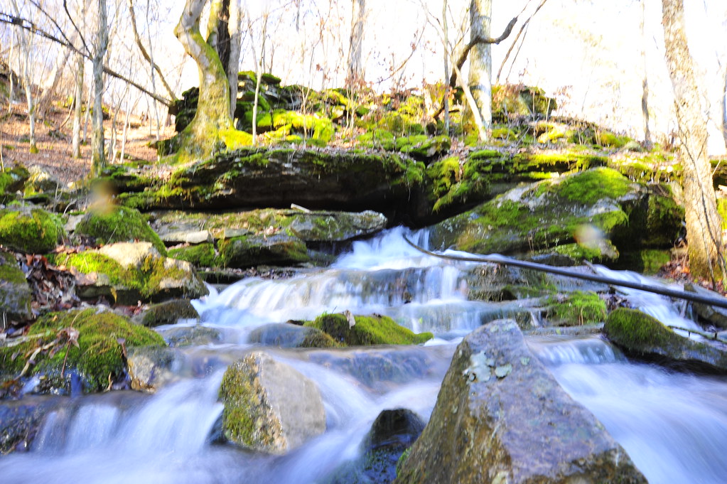
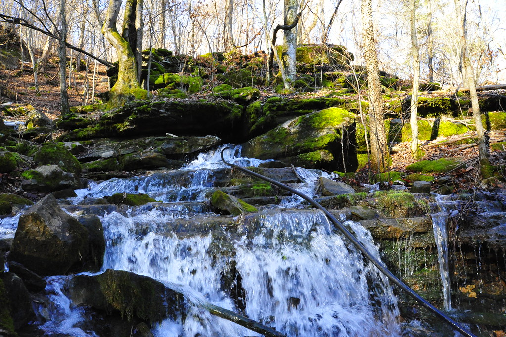
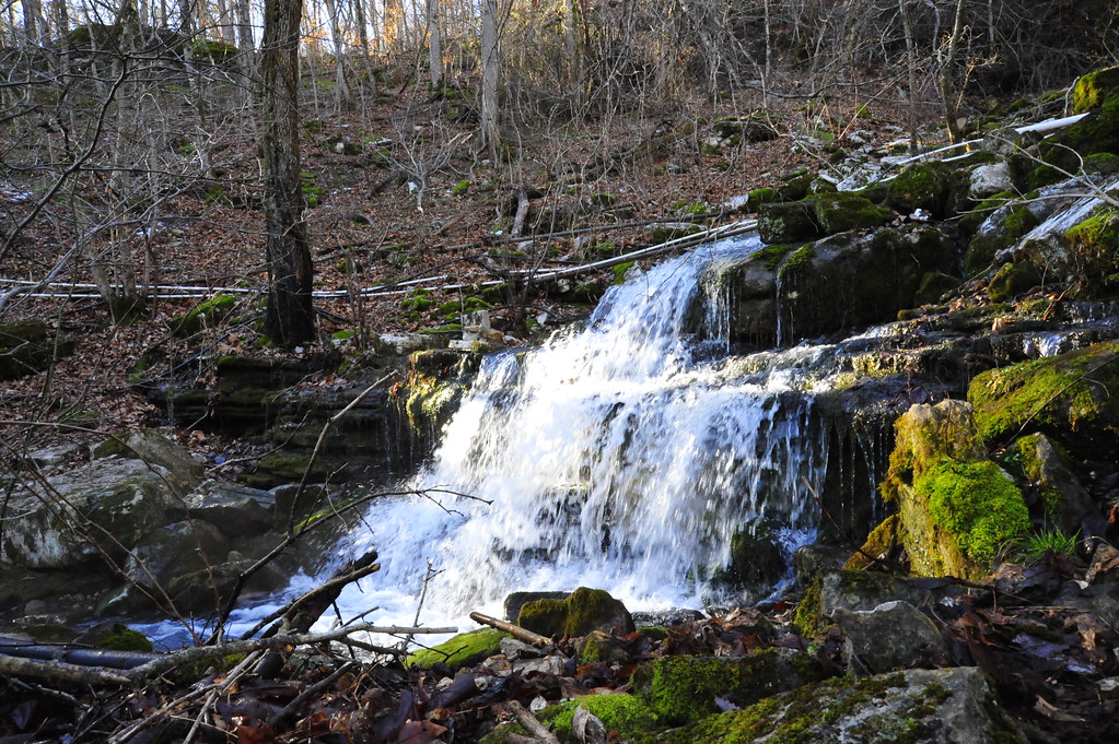
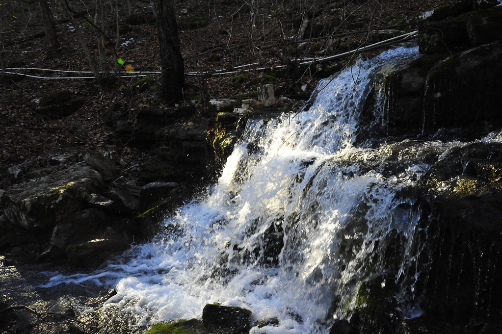
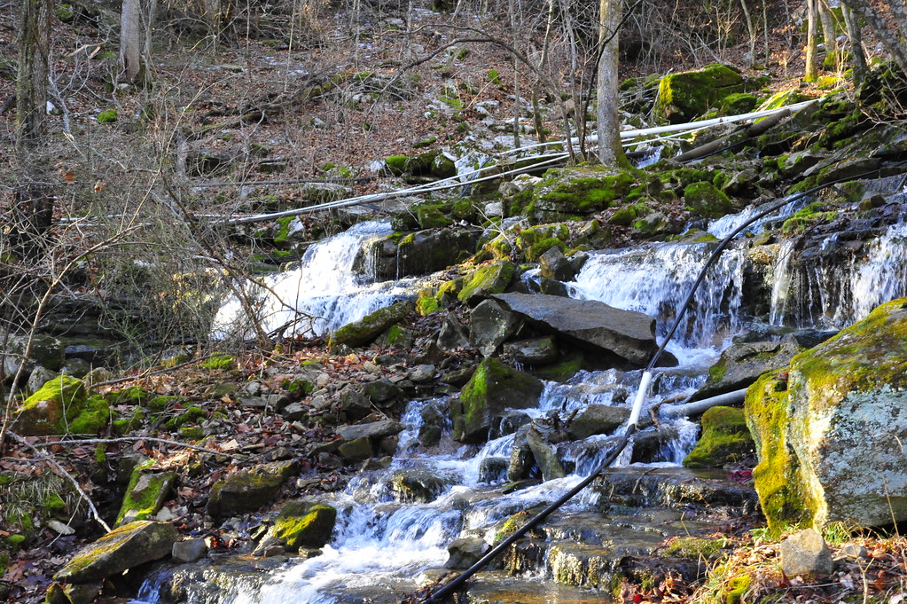
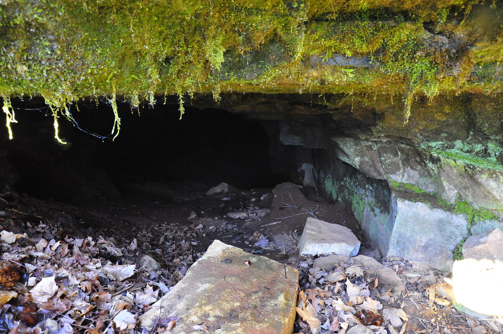
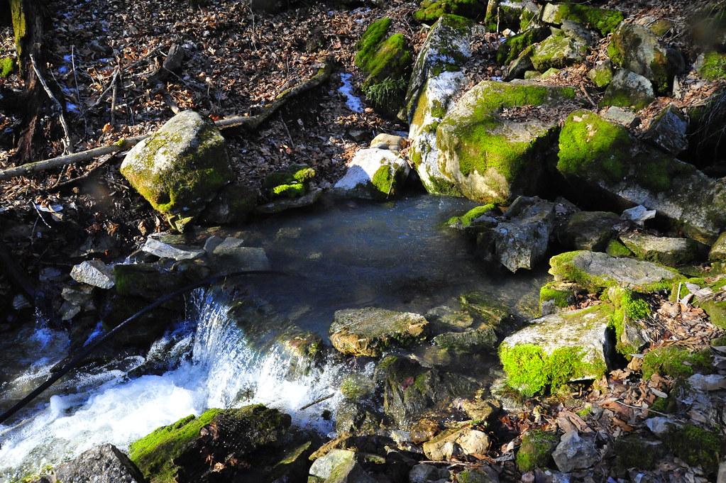
Related Photos:
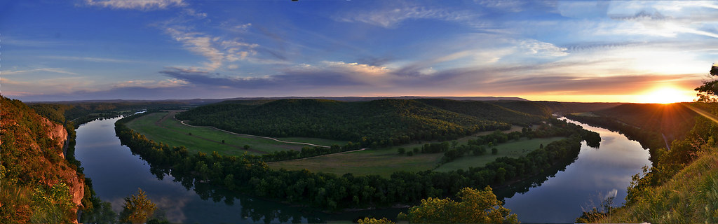
A Bend in the River a view from Painters Bluff in Arkansas (Press "L")
_NEJ4396_20090202_091918.JPG
_NEJ4415_20090202_092518.JPG
_NEJ4383_20090202_091616.JPG
_NEJ4400_20090202_092010.JPG
_NEJ4384_20090202_091636.JPG
_NEJ4385_20090202_091644.JPG
_NEJ4387_20090202_091718.JPG
_NEJ4381_20090202_091530.JPG
_NEJ4409_20090202_092342.JPG
_NEJ4406_20090202_092214.JPG
Topographic Map of Mount Pleasant, Mt Pleasant, AR, USA
Find elevation by address:

Places in Mount Pleasant, Mt Pleasant, AR, USA:
Places near Mount Pleasant, Mt Pleasant, AR, USA:
Barren Fork Township
8496 Ar-69
Cushman
West Sullivan Township
Sidney
Sidney Rd, Sidney, AR, USA
East Sullivan Township
US-, Cave City, AR, USA
102 W Red Barn Rd
515 Laman St
515 Laman St
515 Laman St
500 Matlock Rd
Cave City
Cave
E Center St, Cave City, AR, USA
Cave Township
Barren Township
671 Antioch Rd
1005 Sunset Ridge
Recent Searches:
- Elevation of Corso Fratelli Cairoli, 35, Macerata MC, Italy
- Elevation of Tallevast Rd, Sarasota, FL, USA
- Elevation of 4th St E, Sonoma, CA, USA
- Elevation of Black Hollow Rd, Pennsdale, PA, USA
- Elevation of Oakland Ave, Williamsport, PA, USA
- Elevation of Pedrógão Grande, Portugal
- Elevation of Klee Dr, Martinsburg, WV, USA
- Elevation of Via Roma, Pieranica CR, Italy
- Elevation of Tavkvetili Mountain, Georgia
- Elevation of Hartfords Bluff Cir, Mt Pleasant, SC, USA