Elevation of Callahan, CA, USA
Location: United States > California > Callahan >
Longitude: -122.79986
Latitude: 41.2828126
Elevation: 1442m / 4731feet
Barometric Pressure: 85KPa
Elevation Map:
Satellite Map:
Related Photos:

Mount Shasta from the Russian Wilderness, Siskiyou County, CA, August 2017
Trinity Alps viewed from the PCT, California

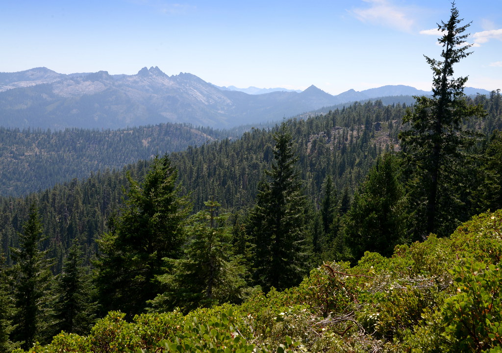
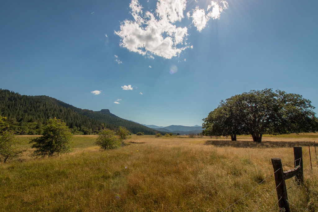
View of rocky ridge from Gazelle Callahan Road, California

Big Bear Lake
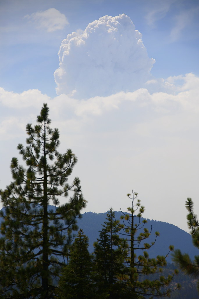
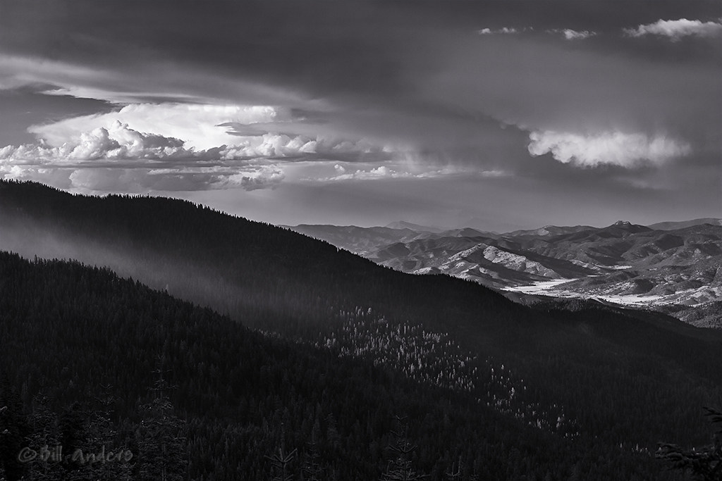
View of Coffee fire and smoke of the July complex from the PCT, California

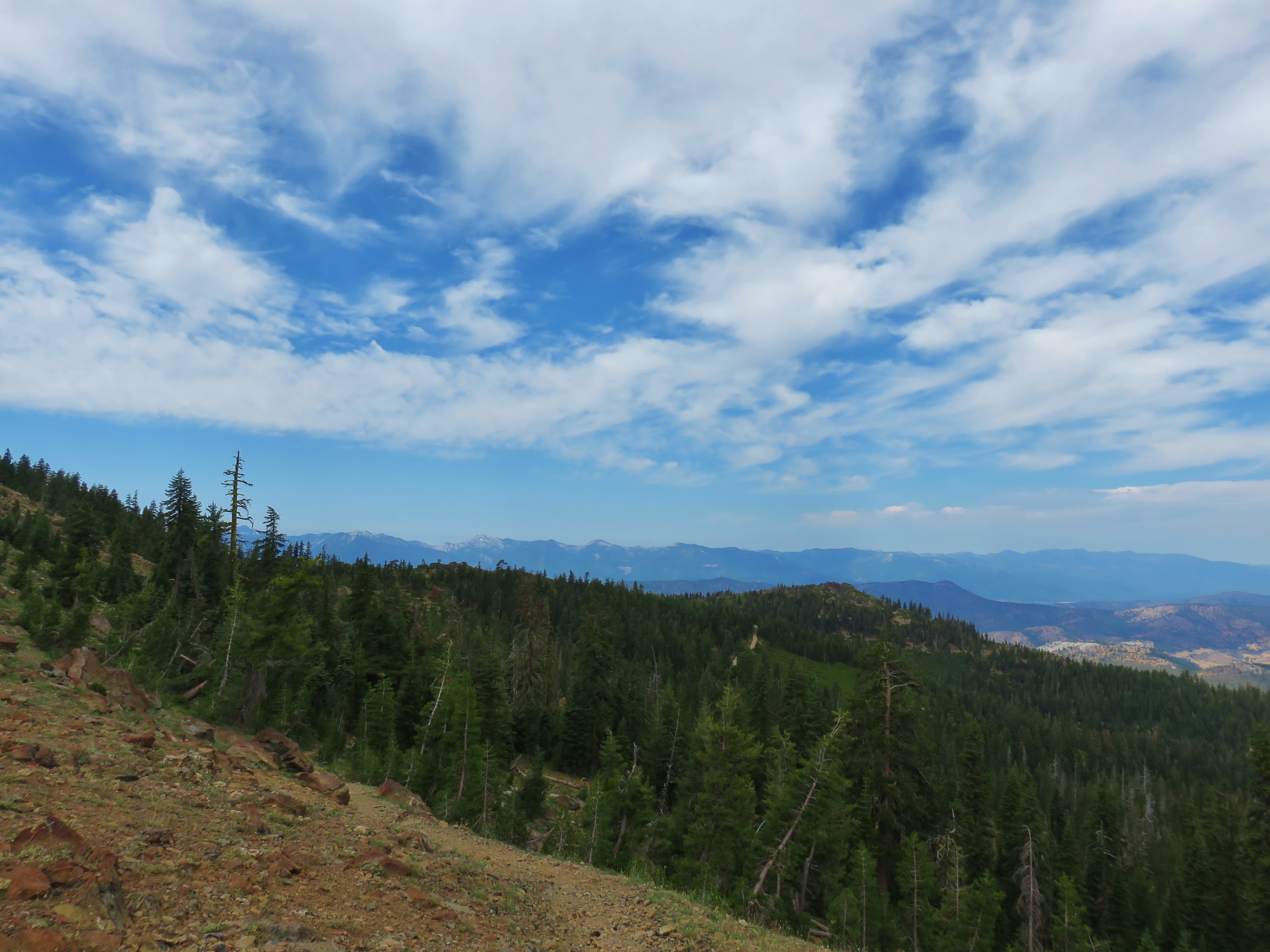
View along the Pacific Crest Trail

View from the PCT.

View from the PCT.

View from PCT on the way to Bull Lake

Looking up Tangleblue Creek, July 2019

View from the Fen Trail

View from the Fen Trail
View from the Fen Trail
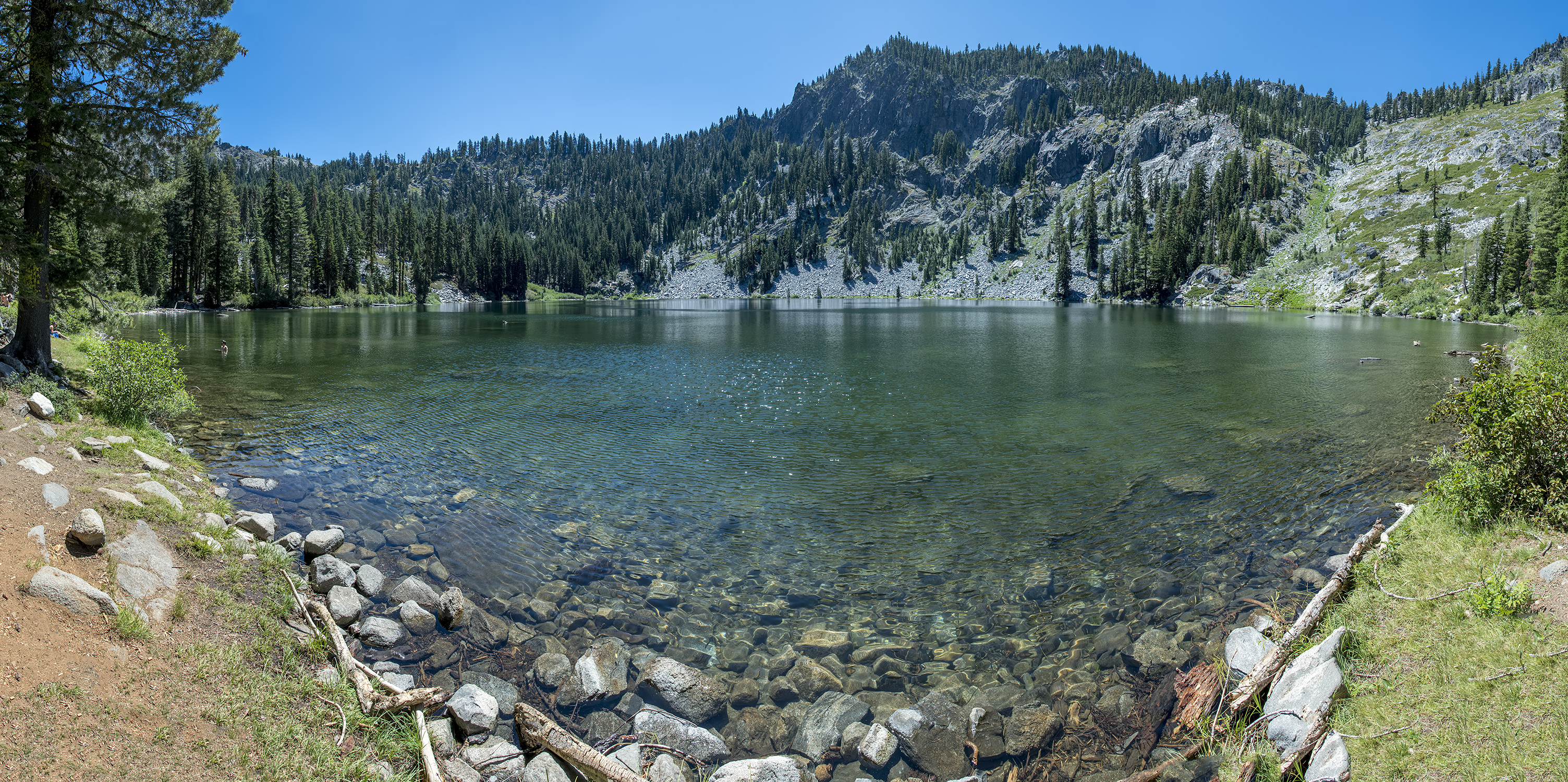
23-photo photomerge of Trail Gulch Lake

Rocky ridge from Gazelle Callahan Road, California

Trail Gulch Lake

PCT from iPhone
The Start

Threatening Range
Rail Creek Road

Hike to Bear Lake Basin

long talus piles on the scott river, possibly from placer mining

Russian Wilderness

Hike to Bear Lake Basin

Through the burn

looking east across the etna valley, the eddy mountains, and shasta

Trinity Alps

Boulder Lake, Craggy Peak

High on the mountain

Hike to Bear Lake Basin

Hike to Bear Lake Basin
Topographic Map of Callahan, CA, USA
Find elevation by address:

Places near Callahan, CA, USA:
1334 S Fork Rd
Callahan
Craggy Peak
9814 Ca-3
South Fork Lakes
Billys Peak
Kangaroo Lake Campground
Deadman Peak
Coffee Creek Road
7390 Coffee Creek Rd
Albert Lake
Main Street
Main St, Etna, CA, USA
Etna
21 Cedar Rd
2104 Sawyers Bar Rd
2104 Sawyers Bar Rd
2104 Sawyers Bar Rd
South China Mountain
RR 2, Trinity Center, CA, USA
Recent Searches:
- Elevation of Lampiasi St, Sarasota, FL, USA
- Elevation of Elwyn Dr, Roanoke Rapids, NC, USA
- Elevation of Congressional Dr, Stevensville, MD, USA
- Elevation of Bellview Rd, McLean, VA, USA
- Elevation of Stage Island Rd, Chatham, MA, USA
- Elevation of Shibuya Scramble Crossing, 21 Udagawacho, Shibuya City, Tokyo -, Japan
- Elevation of Jadagoniai, Kaunas District Municipality, Lithuania
- Elevation of Pagonija rock, Kranto 7-oji g. 8"N, Kaunas, Lithuania
- Elevation of Co Rd 87, Jamestown, CO, USA
- Elevation of Tenjo, Cundinamarca, Colombia