Elevation of South Fork Lakes, California, USA
Location: United States > California > Siskiyou County > Forks Of Salmon >
Longitude: -122.90302
Latitude: 41.2014177
Elevation: 2058m / 6752feet
Barometric Pressure: 79KPa
Elevation Map:
Satellite Map:
Related Photos:

DASHBOARD
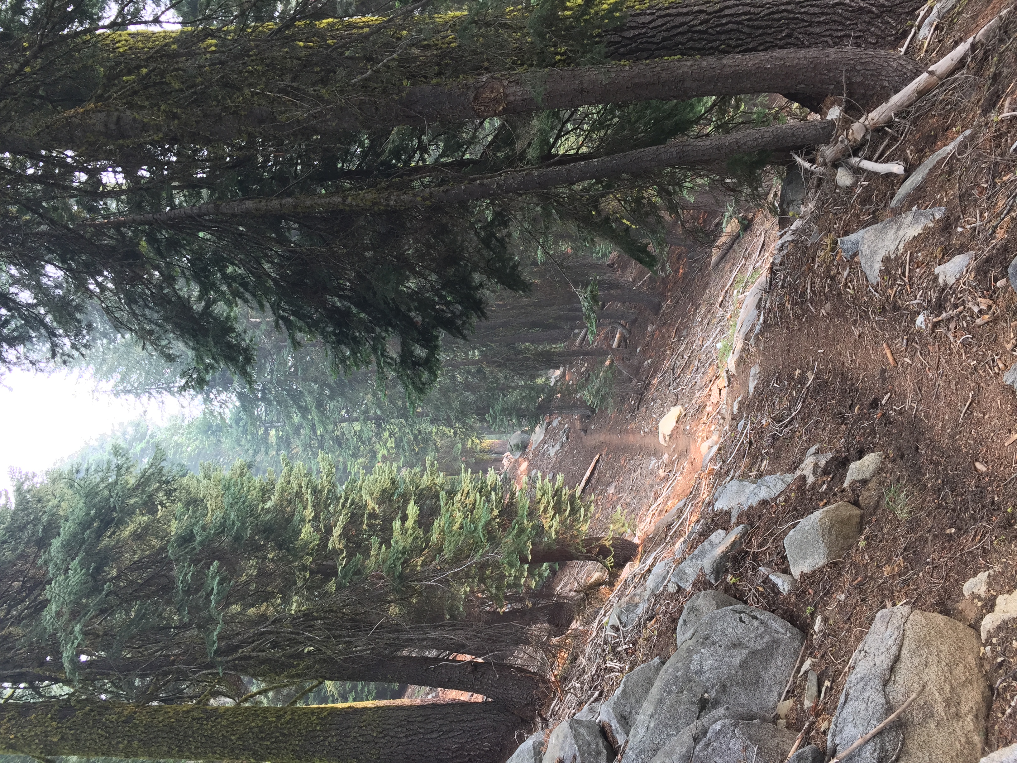
The Start
Fifth group
Threatening Range
Fifth group
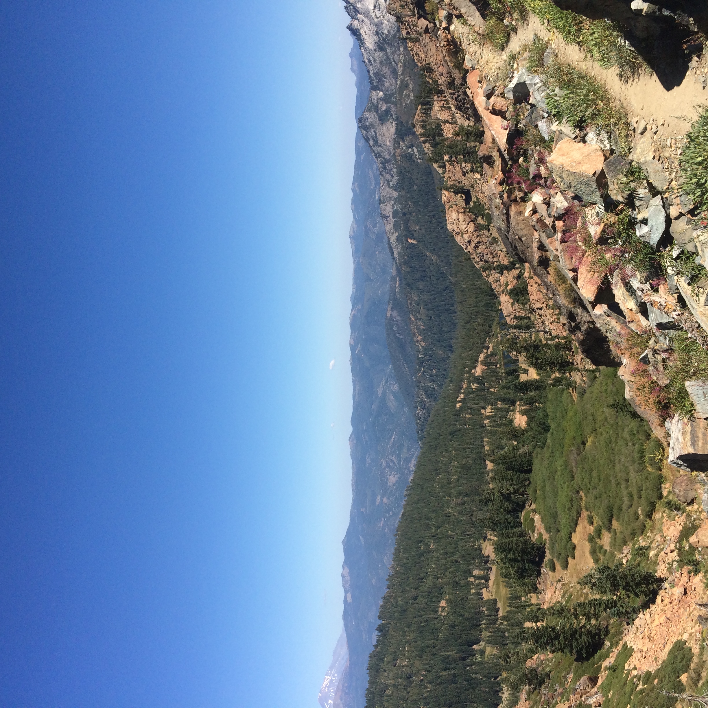
looking east across the etna valley, the eddy mountains, and shasta
Picea breweriana

Sierra nevada blue

Russian Wilderness
Fifth group
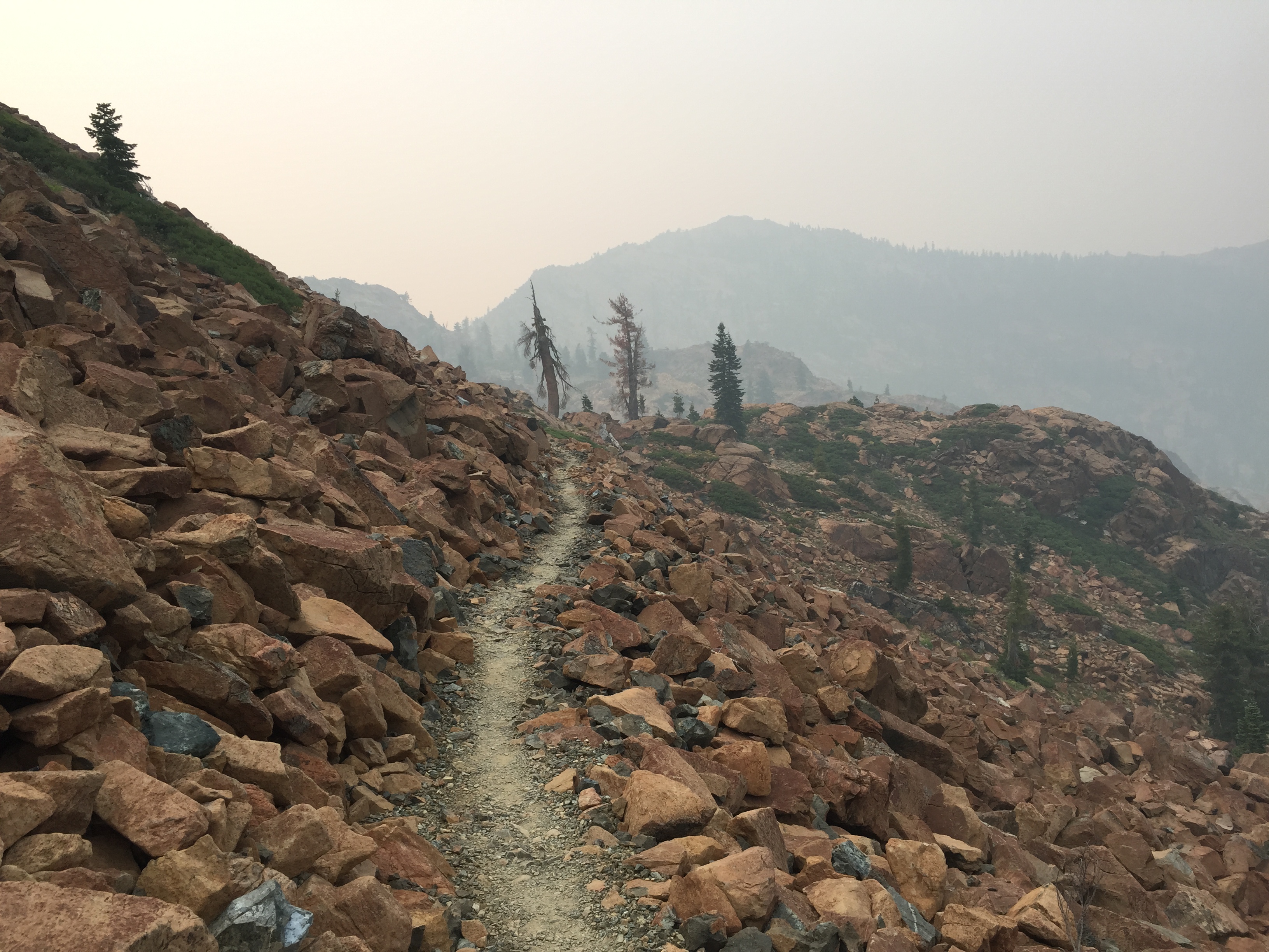
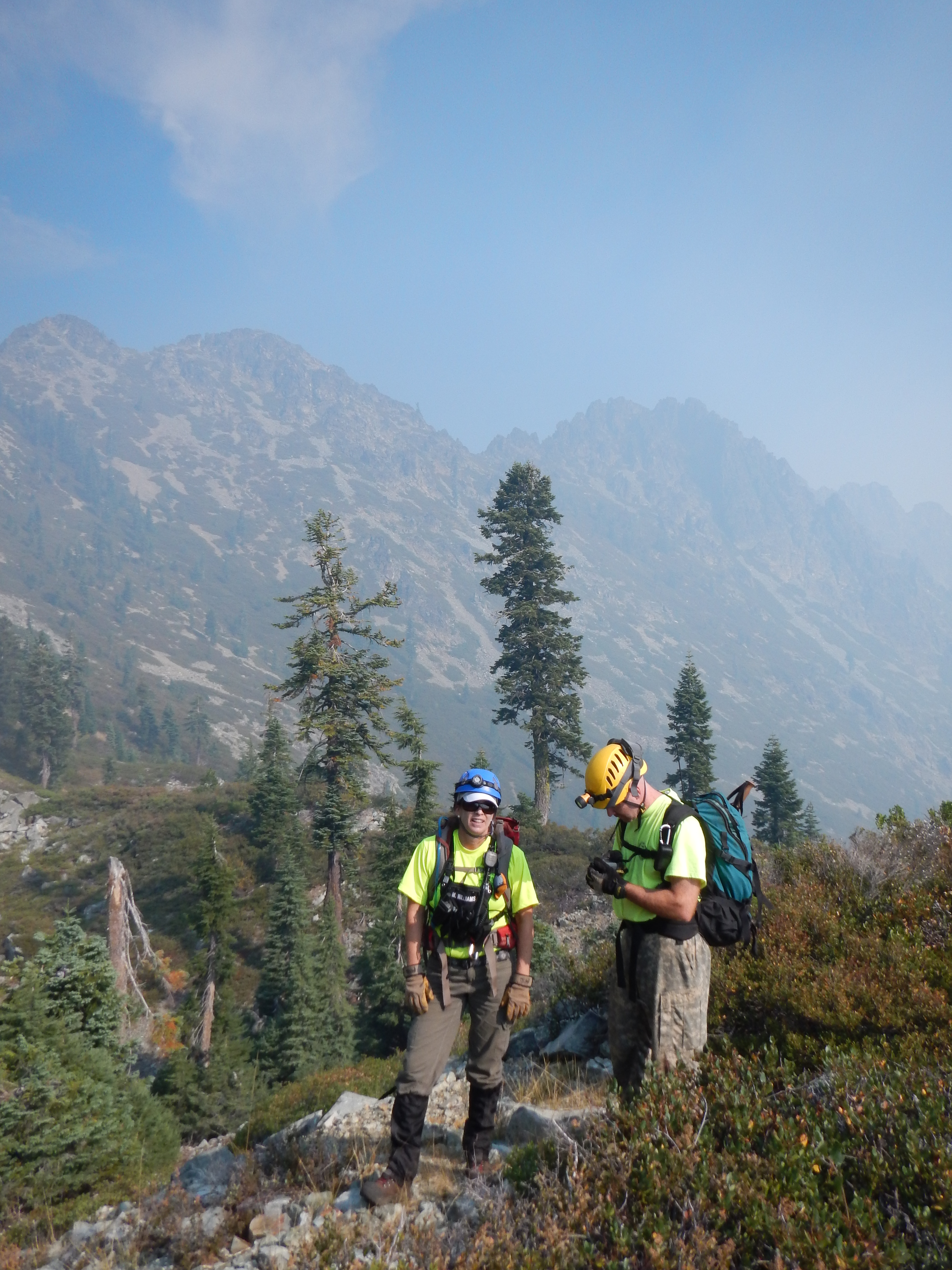
PCT from iPhone
PCT from iPhone
Fifth group
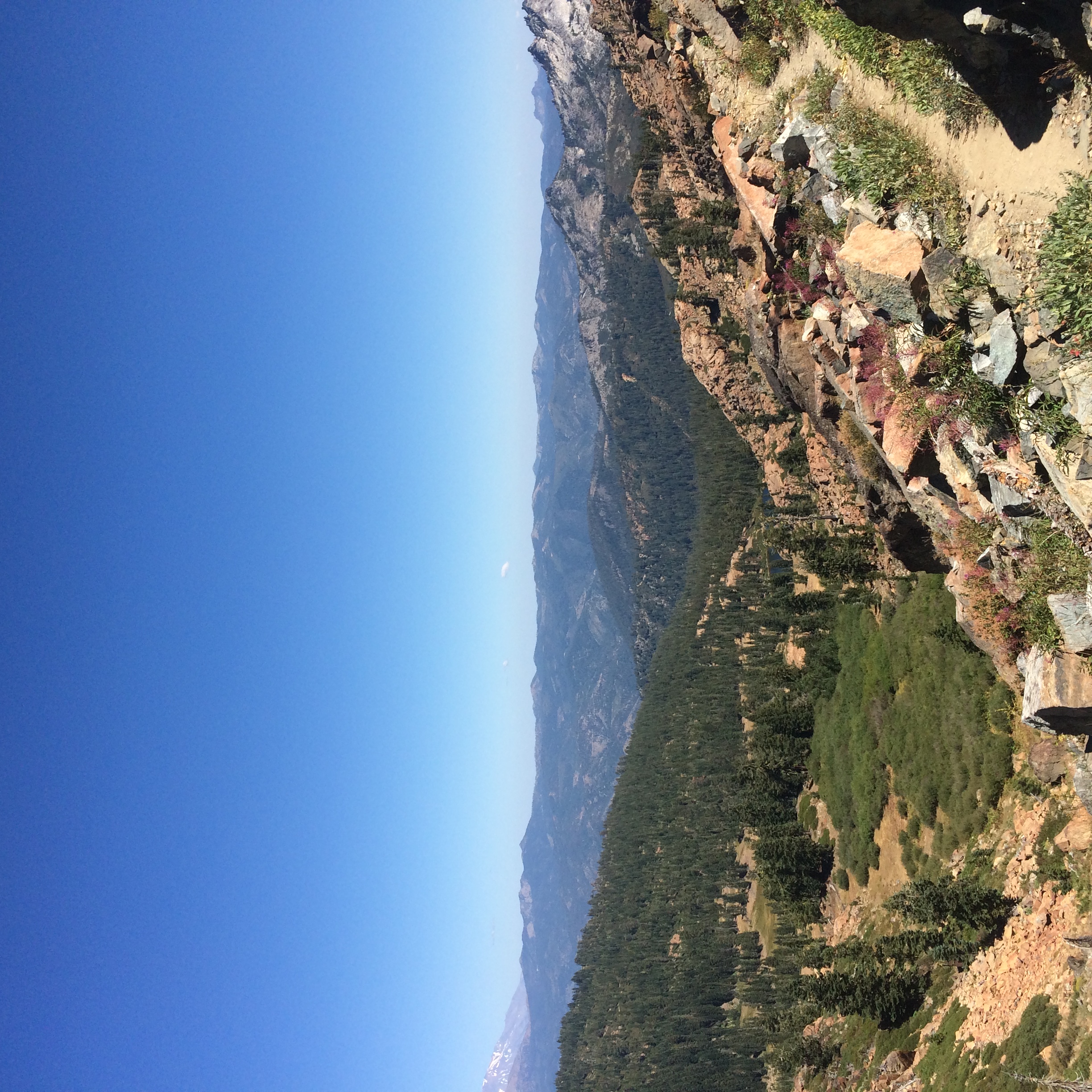
PCT from iPhone
PCT from iPhone

PCT from iPhone

REI Shasta-Trinity-63.jpg
Fifth group
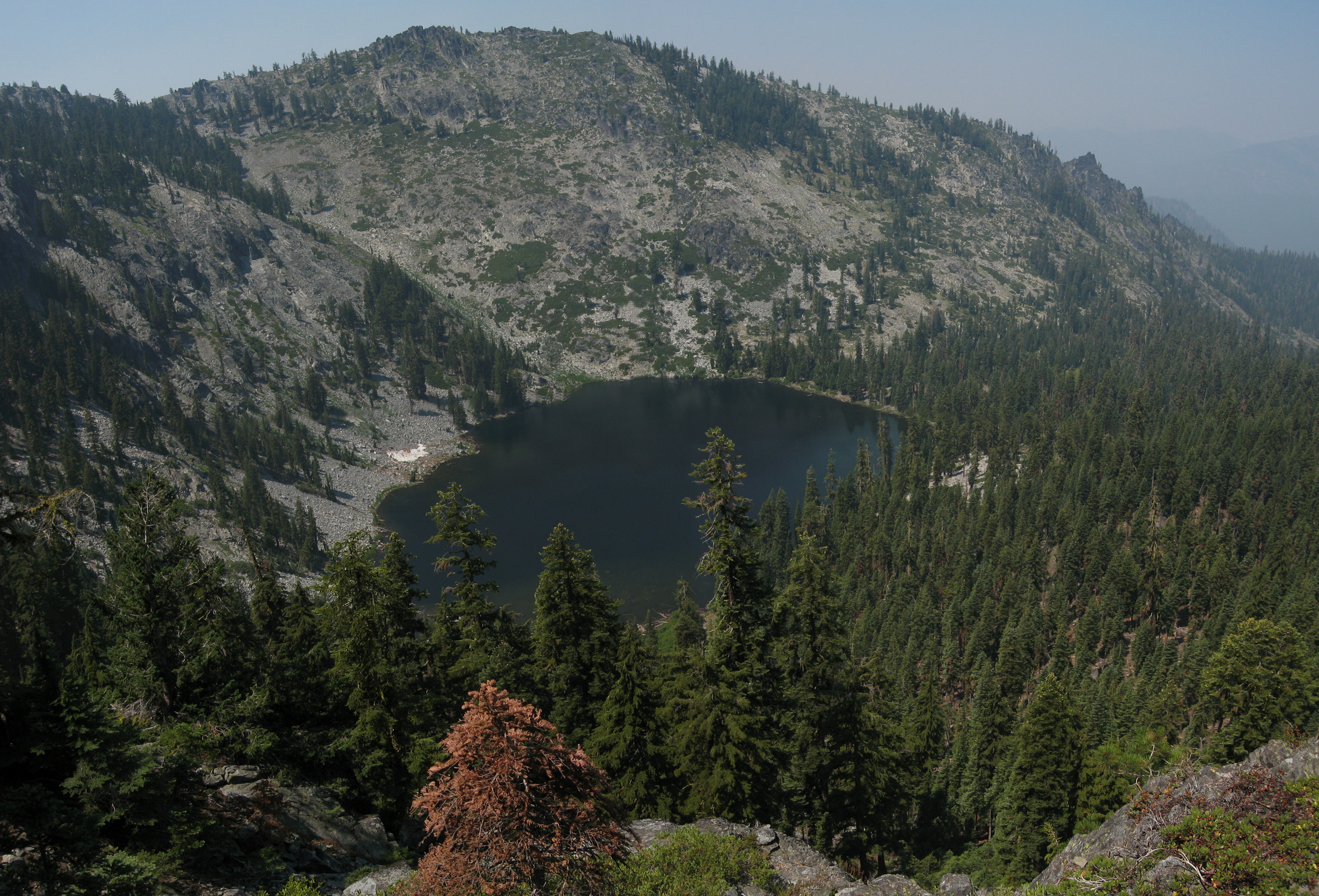
Trail Gulch Lake
.

The breath taking Trinity Alps Wilderness

2012-09-01_12-37-52_583
Topographic Map of South Fork Lakes, California, USA
Find elevation by address:

Places near South Fork Lakes, California, USA:
Deadman Peak
1334 S Fork Rd
Packers Peak
Callahan, CA, USA
Craggy Peak
Trinity Mountain Meadow Resort
Coffee Creek Road
7390 Coffee Creek Rd
Callahan
Billys Peak
Albert Lake
9814 Ca-3
Caribou Mountain
Caribou Rd, Forks of Salmon, CA, USA
East Fork Campground
21 Cedar Rd
2104 Sawyers Bar Rd
2104 Sawyers Bar Rd
2104 Sawyers Bar Rd
RR 2, Trinity Center, CA, USA
Recent Searches:
- Elevation of Corso Fratelli Cairoli, 35, Macerata MC, Italy
- Elevation of Tallevast Rd, Sarasota, FL, USA
- Elevation of 4th St E, Sonoma, CA, USA
- Elevation of Black Hollow Rd, Pennsdale, PA, USA
- Elevation of Oakland Ave, Williamsport, PA, USA
- Elevation of Pedrógão Grande, Portugal
- Elevation of Klee Dr, Martinsburg, WV, USA
- Elevation of Via Roma, Pieranica CR, Italy
- Elevation of Tavkvetili Mountain, Georgia
- Elevation of Hartfords Bluff Cir, Mt Pleasant, SC, USA