Elevation of RR 2, Trinity Center, CA, USA
Location: United States > California > Trinity Center >
Longitude: -122.70407
Latitude: 41.066089
Elevation: 740m / 2428feet
Barometric Pressure: 93KPa
Elevation Map:
Satellite Map:
Related Photos:
there would be a view of mt shasta . . .
Big Bear Lake

Mt. Gibson
Views of Seven-Up Peak begin to appear (8060')
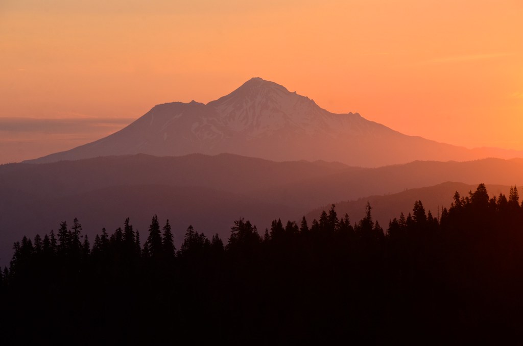
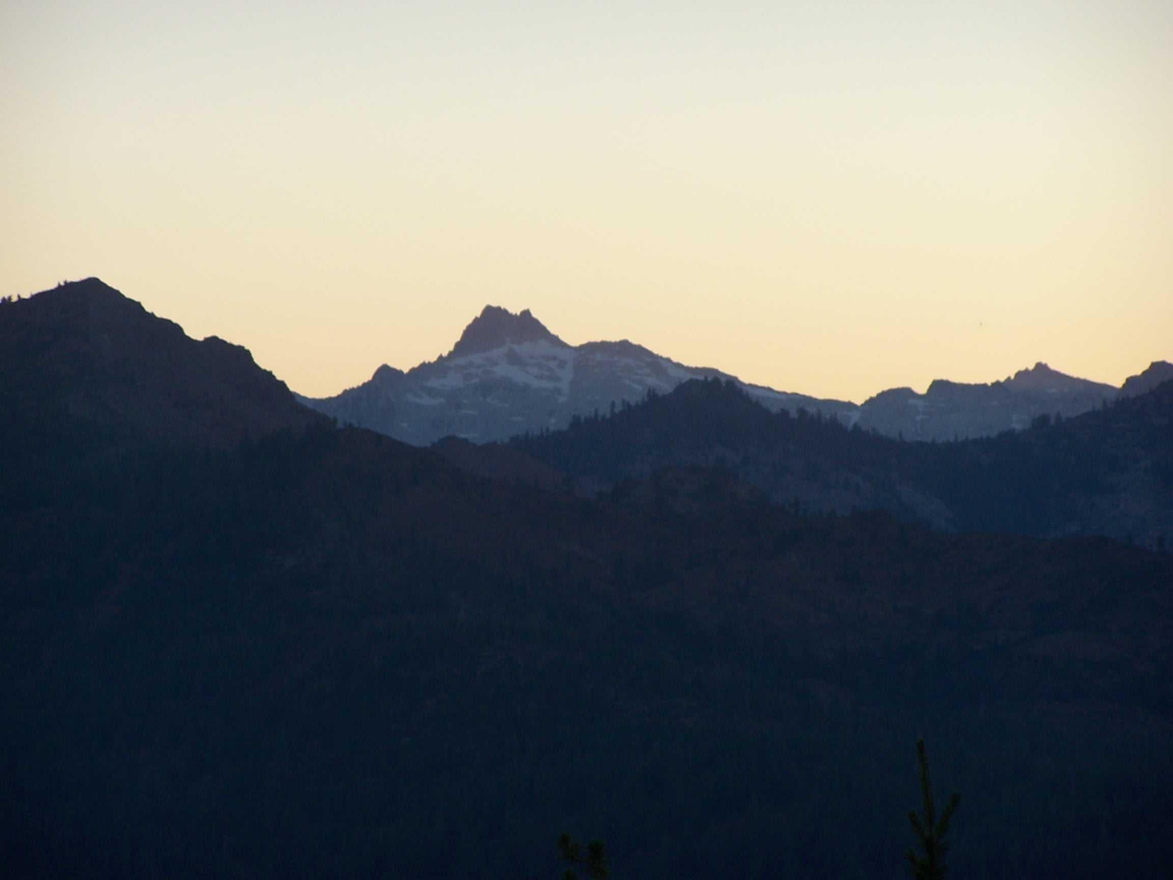
Shasta dawn
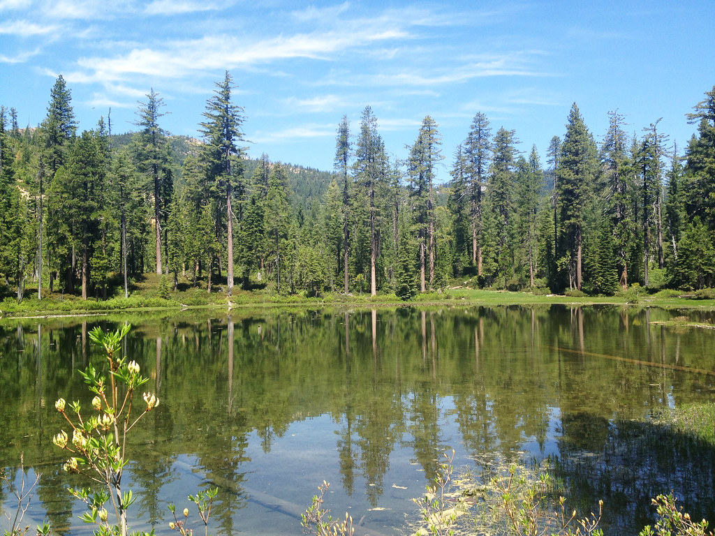
lake eleanor, trinity county
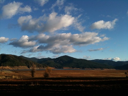
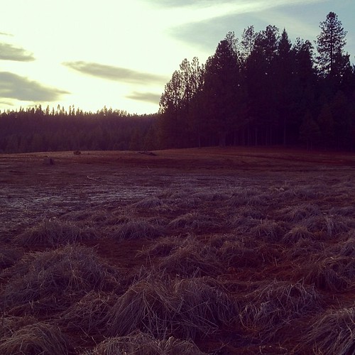
empty trinity lake.
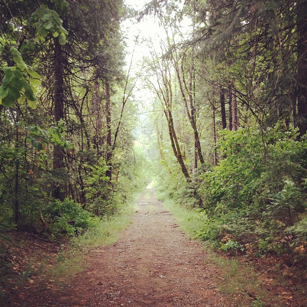
Walkin'.
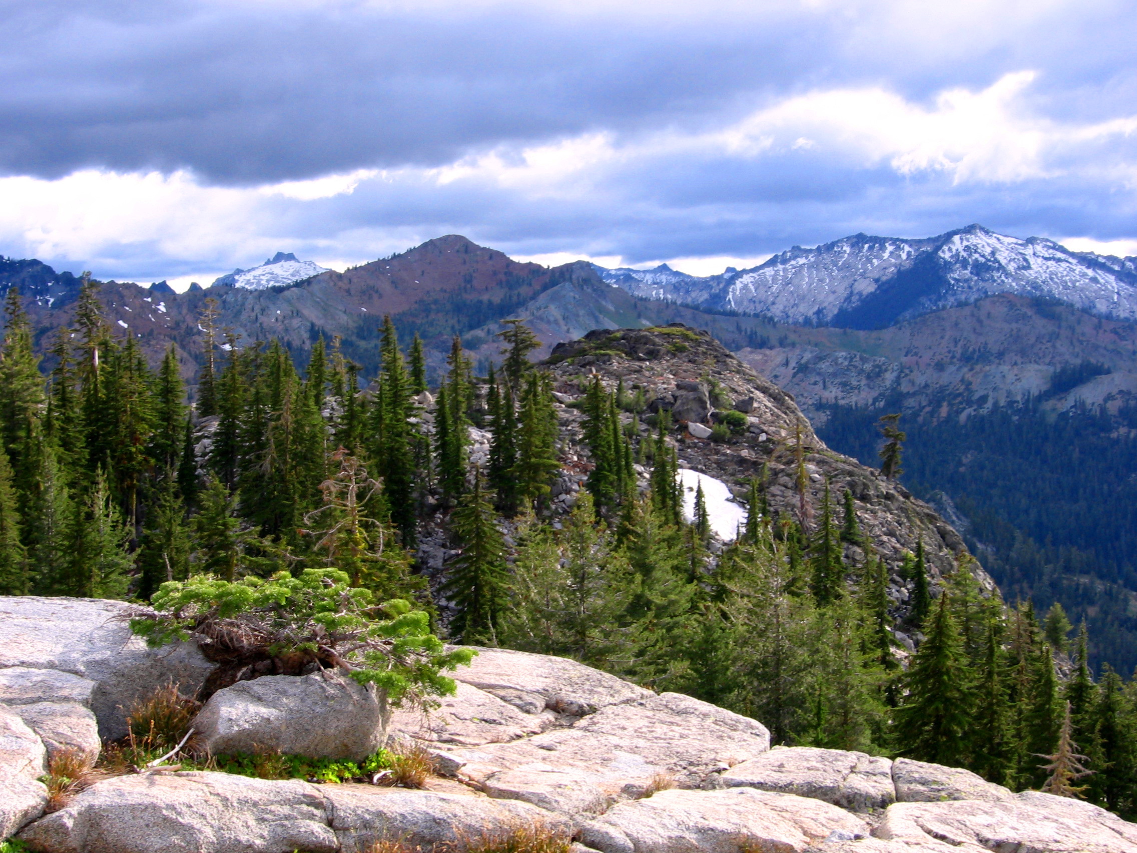
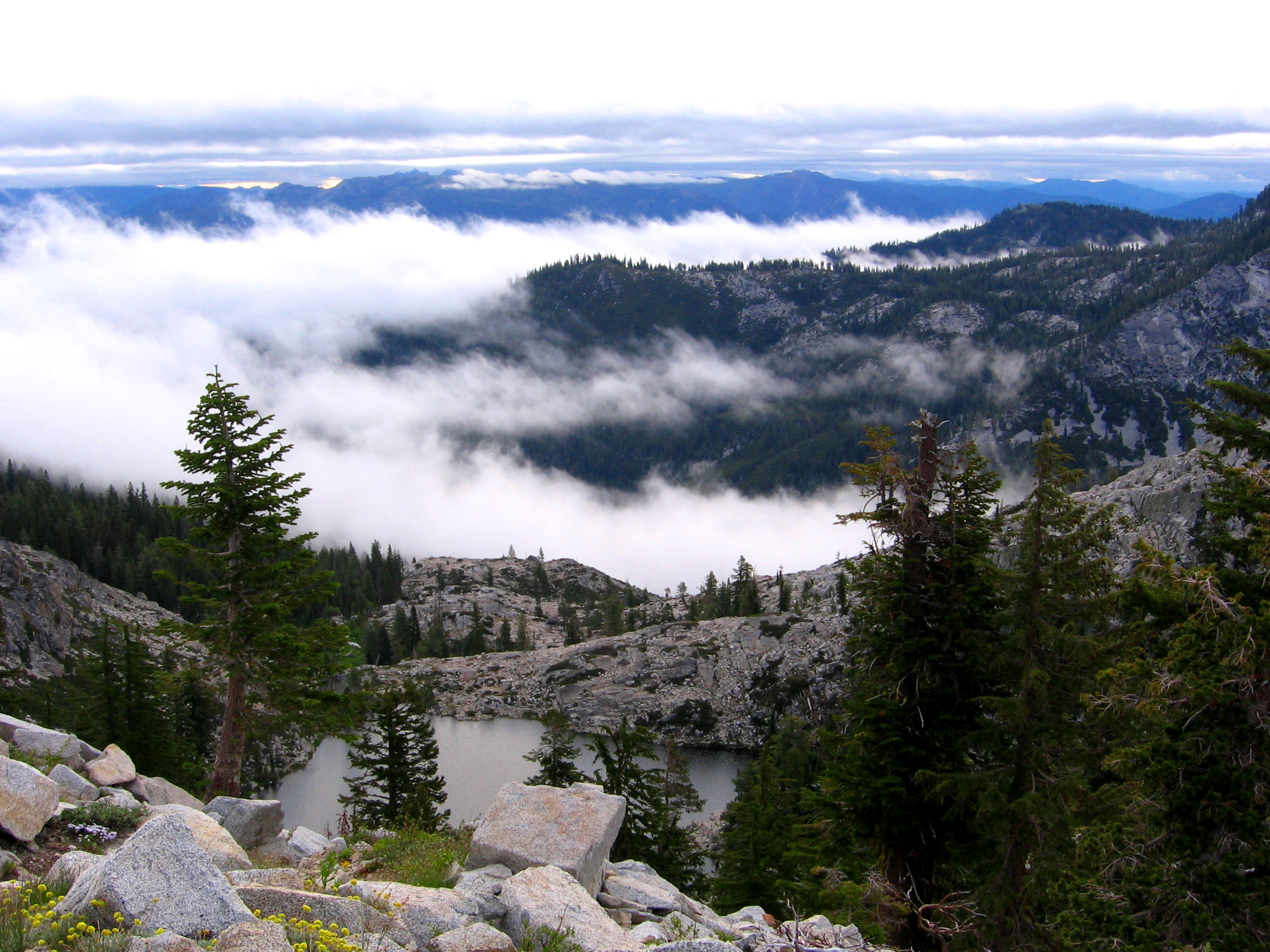
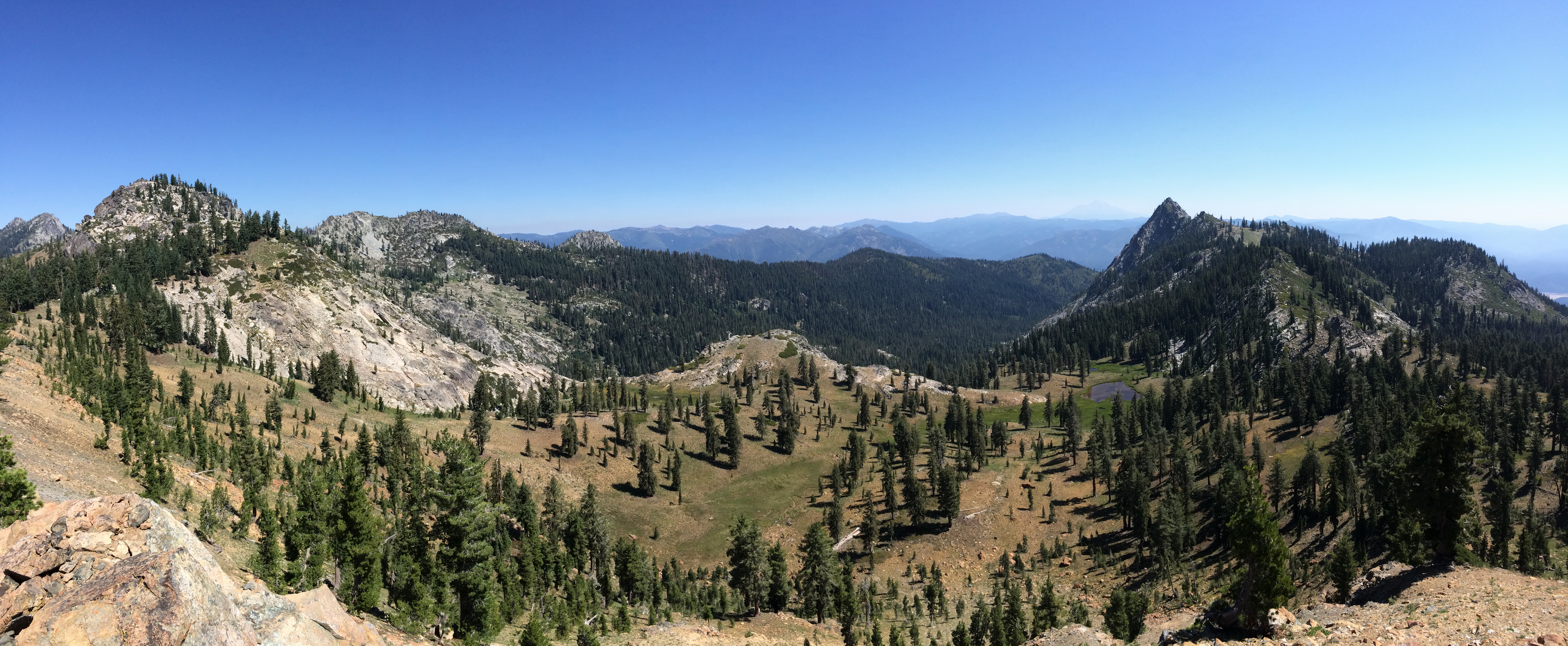
trinity alps
just me and mr. & mrs. bald eagle today.

Mt Shasta 14162' to the northwest
Good morning.
Poison Canyon and Ycatapom Peak
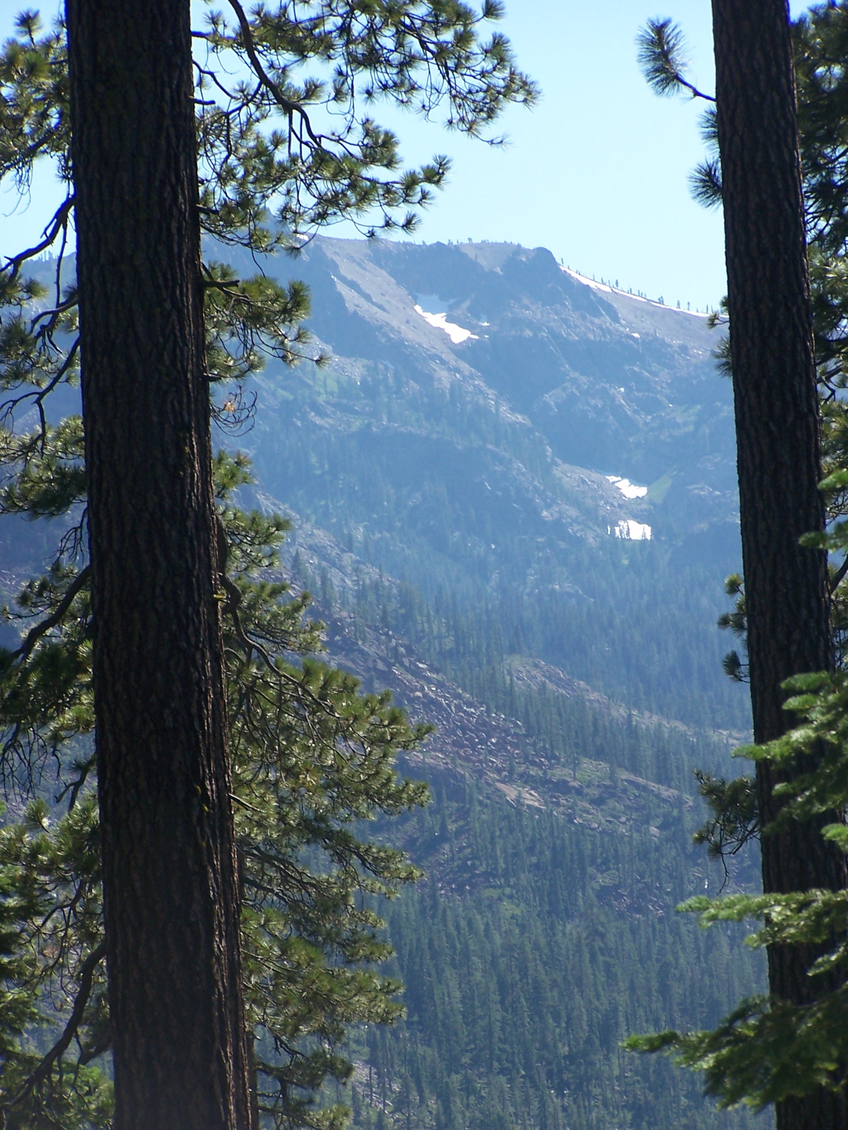
Mt. Hilton 8933'

Thumb Rock Trail
Topographic Map of RR 2, Trinity Center, CA, USA
Find elevation by address:

Places near RR 2, Trinity Center, CA, USA:
21 Cedar Rd
Bonanza King
Trinity Center
Billys Peak
7390 Coffee Creek Rd
Coffee Creek Road
Craggy Peak
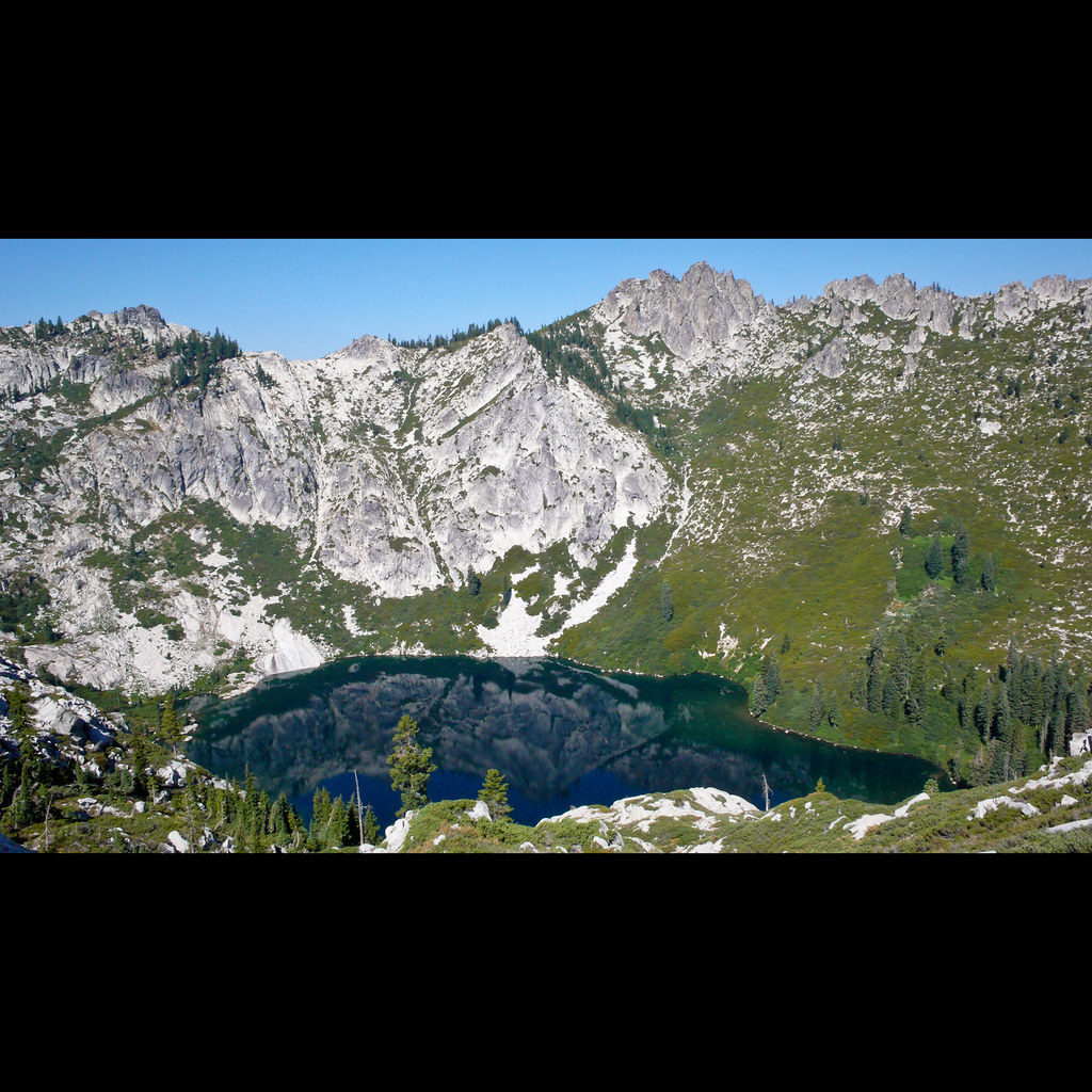
Gibson Peak
Estrellita Rd, Trinity Center, CA, USA
Ridgeville Rd, Trinity Center, CA, USA
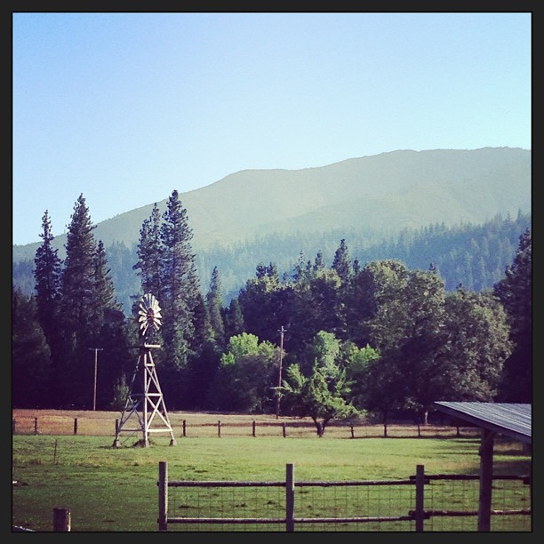
Trinity Mountain Meadow Resort
Callahan, CA, USA
South Fork Lakes
1334 S Fork Rd
CA-3, Trinity Center, CA, USA
Deadman Peak
Caribou Mountain
15936 Dog Creek Rd
Callahan
Grey Rocks North
Recent Searches:
- Elevation of Corso Fratelli Cairoli, 35, Macerata MC, Italy
- Elevation of Tallevast Rd, Sarasota, FL, USA
- Elevation of 4th St E, Sonoma, CA, USA
- Elevation of Black Hollow Rd, Pennsdale, PA, USA
- Elevation of Oakland Ave, Williamsport, PA, USA
- Elevation of Pedrógão Grande, Portugal
- Elevation of Klee Dr, Martinsburg, WV, USA
- Elevation of Via Roma, Pieranica CR, Italy
- Elevation of Tavkvetili Mountain, Georgia
- Elevation of Hartfords Bluff Cir, Mt Pleasant, SC, USA