Elevation of Billys Peak, California, USA
Location: United States > California > Trinity Center >
Longitude: -122.76919
Latitude: 41.132923
Elevation: 2191m / 7188feet
Barometric Pressure: 78KPa
Elevation Map:
Satellite Map:
Related Photos:
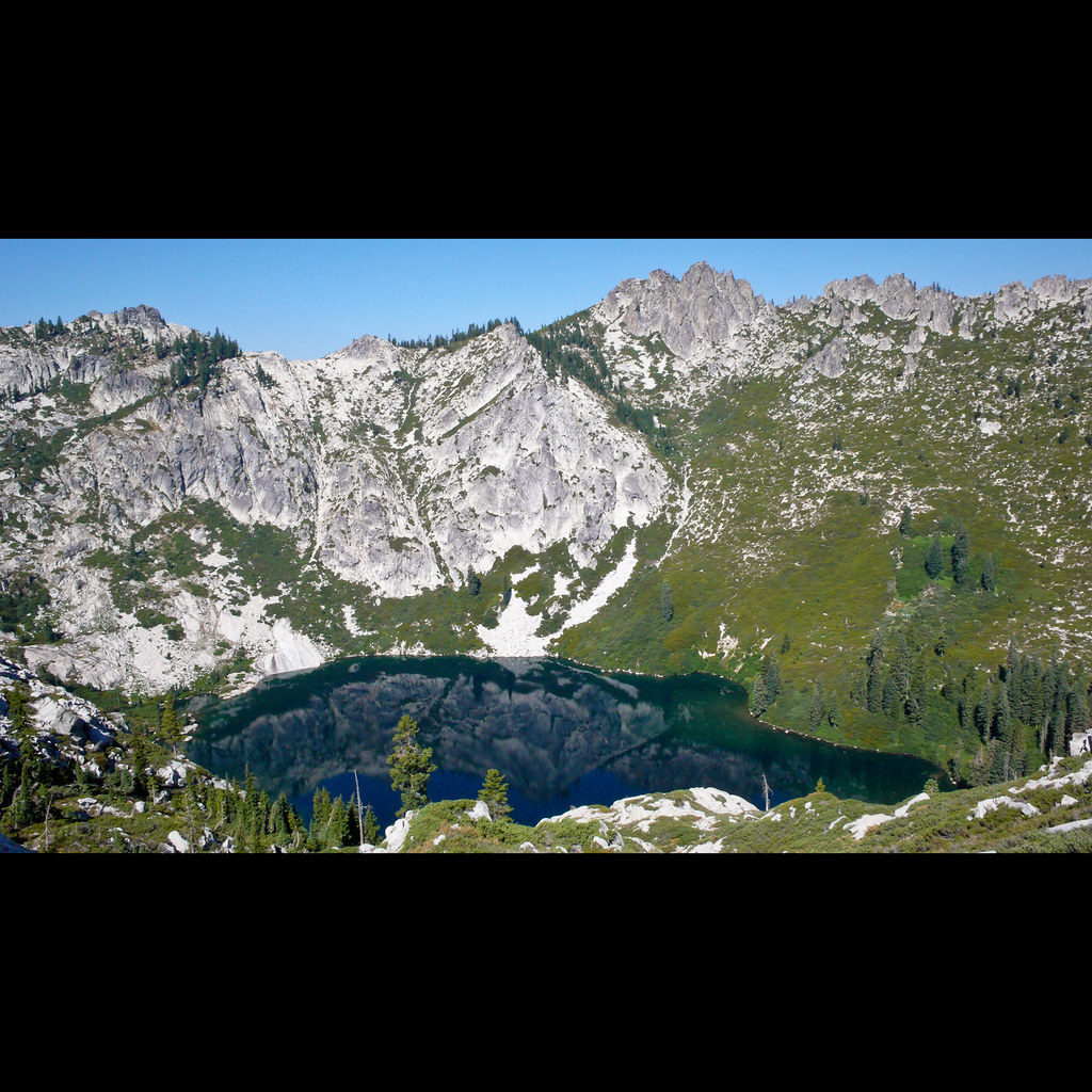
Big Bear Lake
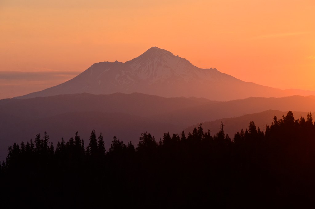
Shasta dawn
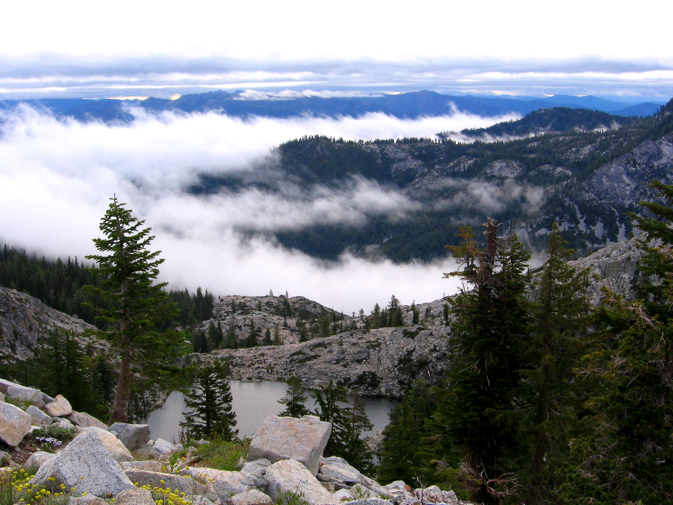
there would be a view of mt shasta . . .
Topographic Map of Billys Peak, California, USA
Find elevation by address:

Places near Billys Peak, California, USA:
7390 Coffee Creek Rd
Coffee Creek Road
21 Cedar Rd
RR 2, Trinity Center, CA, USA
Craggy Peak
Bonanza King
South Fork Lakes
Callahan, CA, USA
1334 S Fork Rd
Trinity Center
Deadman Peak
Callahan
Trinity Mountain Meadow Resort
Packers Peak
Caribou Mountain
Gibson Peak
9814 Ca-3
Kangaroo Lake Campground
Estrellita Rd, Trinity Center, CA, USA
Ridgeville Rd, Trinity Center, CA, USA
Recent Searches:
- Elevation of Corso Fratelli Cairoli, 35, Macerata MC, Italy
- Elevation of Tallevast Rd, Sarasota, FL, USA
- Elevation of 4th St E, Sonoma, CA, USA
- Elevation of Black Hollow Rd, Pennsdale, PA, USA
- Elevation of Oakland Ave, Williamsport, PA, USA
- Elevation of Pedrógão Grande, Portugal
- Elevation of Klee Dr, Martinsburg, WV, USA
- Elevation of Via Roma, Pieranica CR, Italy
- Elevation of Tavkvetili Mountain, Georgia
- Elevation of Hartfords Bluff Cir, Mt Pleasant, SC, USA