Elevation of Kangaroo Lake Campground, Gazelle, CA, United States
Location: United States > California > Siskiyou County > Gazelle >
Longitude: -122.64223
Latitude: 41.3345693
Elevation: 1849m / 6066feet
Barometric Pressure: 81KPa
Elevation Map:
Satellite Map:
Related Photos:

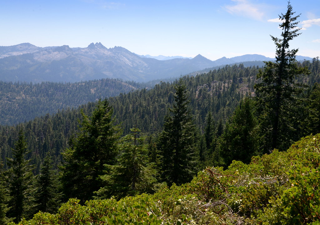
Mt. Eddy & Deadfall Lakes

Mt. Eddy & Deadfall Lakes

Mt. Eddy & Deadfall Lakes
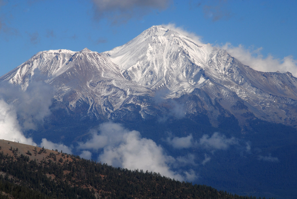
Mount Shasta emerging from clouds, view from PCT, California
Trinity Alps viewed from the PCT, California
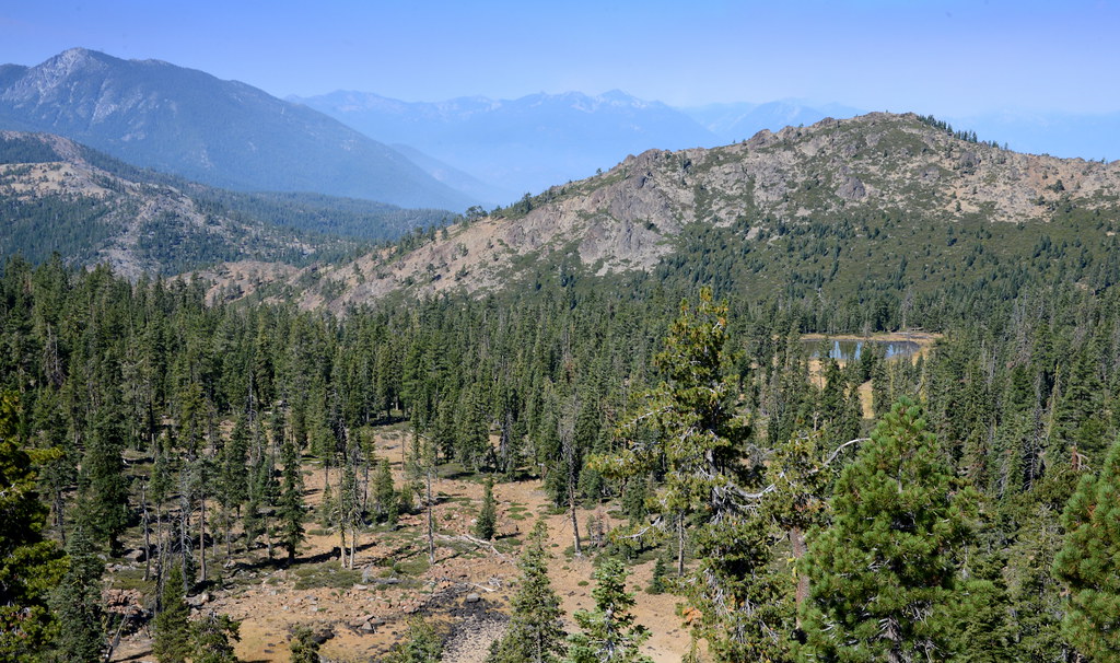
View West from Bull Lake Saddle, PCT, California
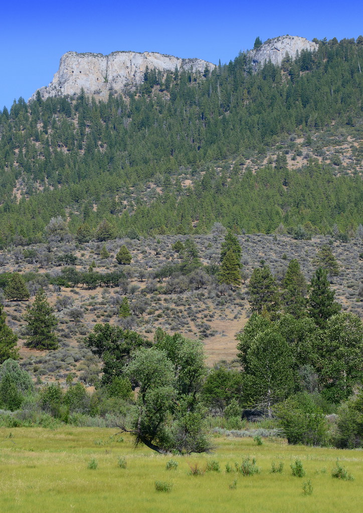
View of rocky ridge from Gazelle Callahan Road, California
Topographic Map of Kangaroo Lake Campground, Gazelle, CA, United States
Find elevation by address:

Places near Kangaroo Lake Campground, Gazelle, CA, United States:
South China Mountain
China Mountain
18035 Gazelle Callahan Rd
Mount Eddy
11020 N Old Stage Rd
Dogwood Drive
Osprey Lane
Osprey Lane
Edgewood
Creamery Ln, Weed, CA, USA
Plum Ave, Mt Shasta, CA, USA
310 Dogwood Ct
301 Dogwood Ct
Motel 6 Weed - Mount Shasta
439 Walnut St
Weed
1800 Black Butte Dr
Black Butte Drive
Davis Place Road
2224 Davis Place Rd
Recent Searches:
- Elevation of Corso Fratelli Cairoli, 35, Macerata MC, Italy
- Elevation of Tallevast Rd, Sarasota, FL, USA
- Elevation of 4th St E, Sonoma, CA, USA
- Elevation of Black Hollow Rd, Pennsdale, PA, USA
- Elevation of Oakland Ave, Williamsport, PA, USA
- Elevation of Pedrógão Grande, Portugal
- Elevation of Klee Dr, Martinsburg, WV, USA
- Elevation of Via Roma, Pieranica CR, Italy
- Elevation of Tavkvetili Mountain, Georgia
- Elevation of Hartfords Bluff Cir, Mt Pleasant, SC, USA