Elevation of 21 Cedar Rd, Trinity Center, CA, USA
Location: United States > California > Trinity County >
Longitude: -122.71665
Latitude: 41.0879829
Elevation: 791m / 2595feet
Barometric Pressure: 92KPa
Elevation Map:
Satellite Map:
Related Photos:

Big Bear Lake

Views of Seven-Up Peak begin to appear (8060')

Shasta dawn
there would be a view of mt shasta . . .

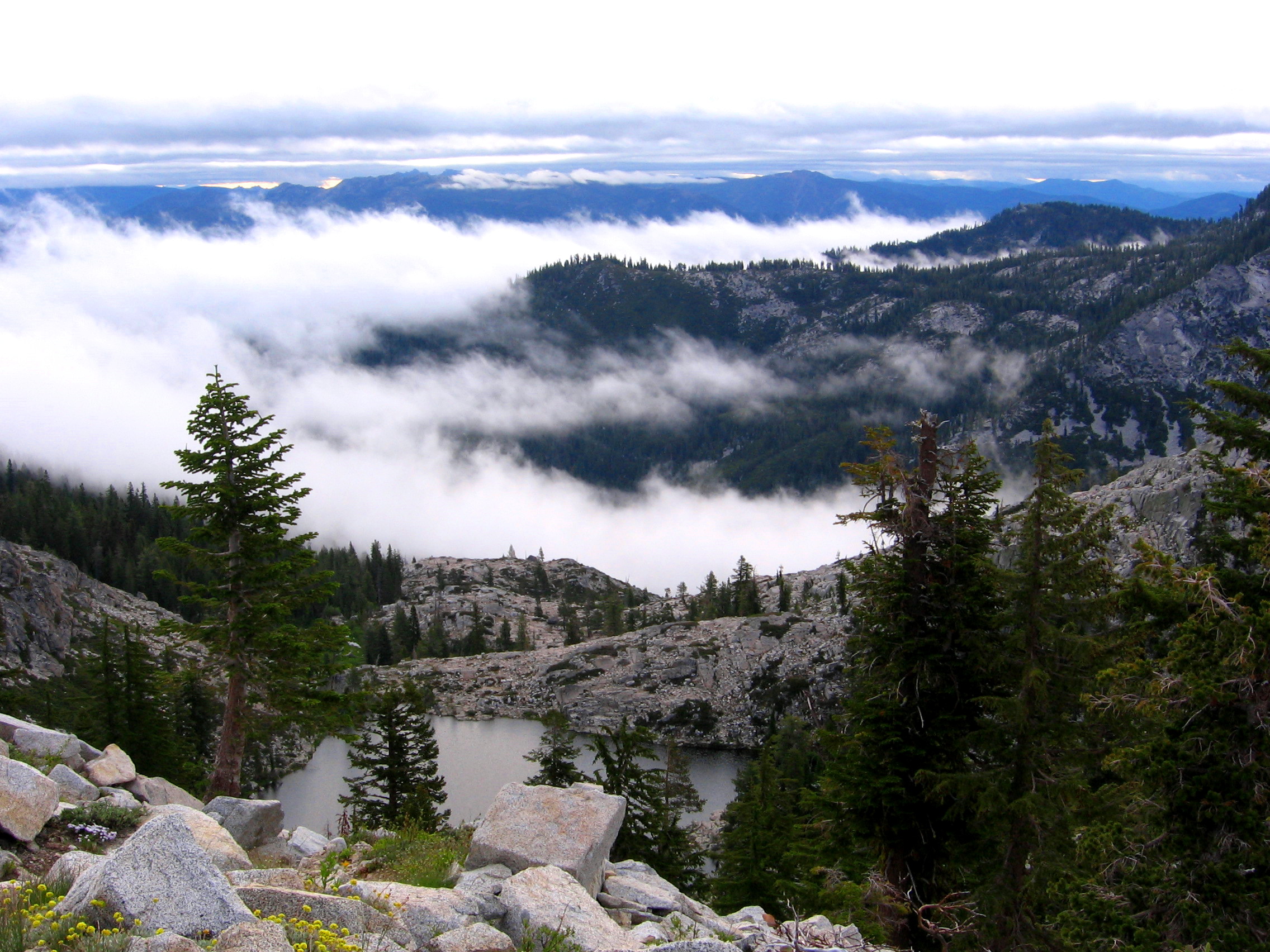
Hike to Bear Lake Basin

Hike to Bear Lake Basin

Hike to Bear Lake Basin

Hike to Bear Lake Basin

Hike to Bear Lake Basin

Hike to Bear Lake Basin

Hike to Bear Lake Basin

Trinity Lake and the Trinity Alps in the Morning Sun

August 2008

lake eleanor, trinity county

Poison Canyon and Ycatapom Peak

Trinity Lake 2007 - Brian & Dawn

Trinity Lake 2007 - Trinity Alps

Boulder Lake

Thumb Rock Trail

Trinity Lake 2007 - Brian & Jet

Landers Lake

Good morning. #shastashawnie
Topographic Map of 21 Cedar Rd, Trinity Center, CA, USA
Find elevation by address:

Places near 21 Cedar Rd, Trinity Center, CA, USA:
RR 2, Trinity Center, CA, USA
Billys Peak
7390 Coffee Creek Rd
Coffee Creek Road
Bonanza King
Trinity Center
Craggy Peak
Callahan, CA, USA
Gibson Peak
South Fork Lakes
1334 S Fork Rd
Trinity Mountain Meadow Resort
Deadman Peak
Callahan
Estrellita Rd, Trinity Center, CA, USA
Ridgeville Rd, Trinity Center, CA, USA
Caribou Mountain
Packers Peak
Kangaroo Lake Campground
CA-3, Trinity Center, CA, USA
Recent Searches:
- Elevation of Elwyn Dr, Roanoke Rapids, NC, USA
- Elevation of Congressional Dr, Stevensville, MD, USA
- Elevation of Bellview Rd, McLean, VA, USA
- Elevation of Stage Island Rd, Chatham, MA, USA
- Elevation of Shibuya Scramble Crossing, 21 Udagawacho, Shibuya City, Tokyo -, Japan
- Elevation of Jadagoniai, Kaunas District Municipality, Lithuania
- Elevation of Pagonija rock, Kranto 7-oji g. 8"N, Kaunas, Lithuania
- Elevation of Co Rd 87, Jamestown, CO, USA
- Elevation of Tenjo, Cundinamarca, Colombia
- Elevation of Côte-des-Neiges, Montreal, QC H4A 3J6, Canada