Elevation of Main Street, Main St, California, USA
Location: United States > California > Siskiyou County > Etna >
Longitude: -122.89225
Latitude: 41.4575087
Elevation: 891m / 2923feet
Barometric Pressure: 91KPa
Elevation Map:
Satellite Map:
Related Photos:

View from the snowpatch on the PCT
View from the old road bed
View from the PCT
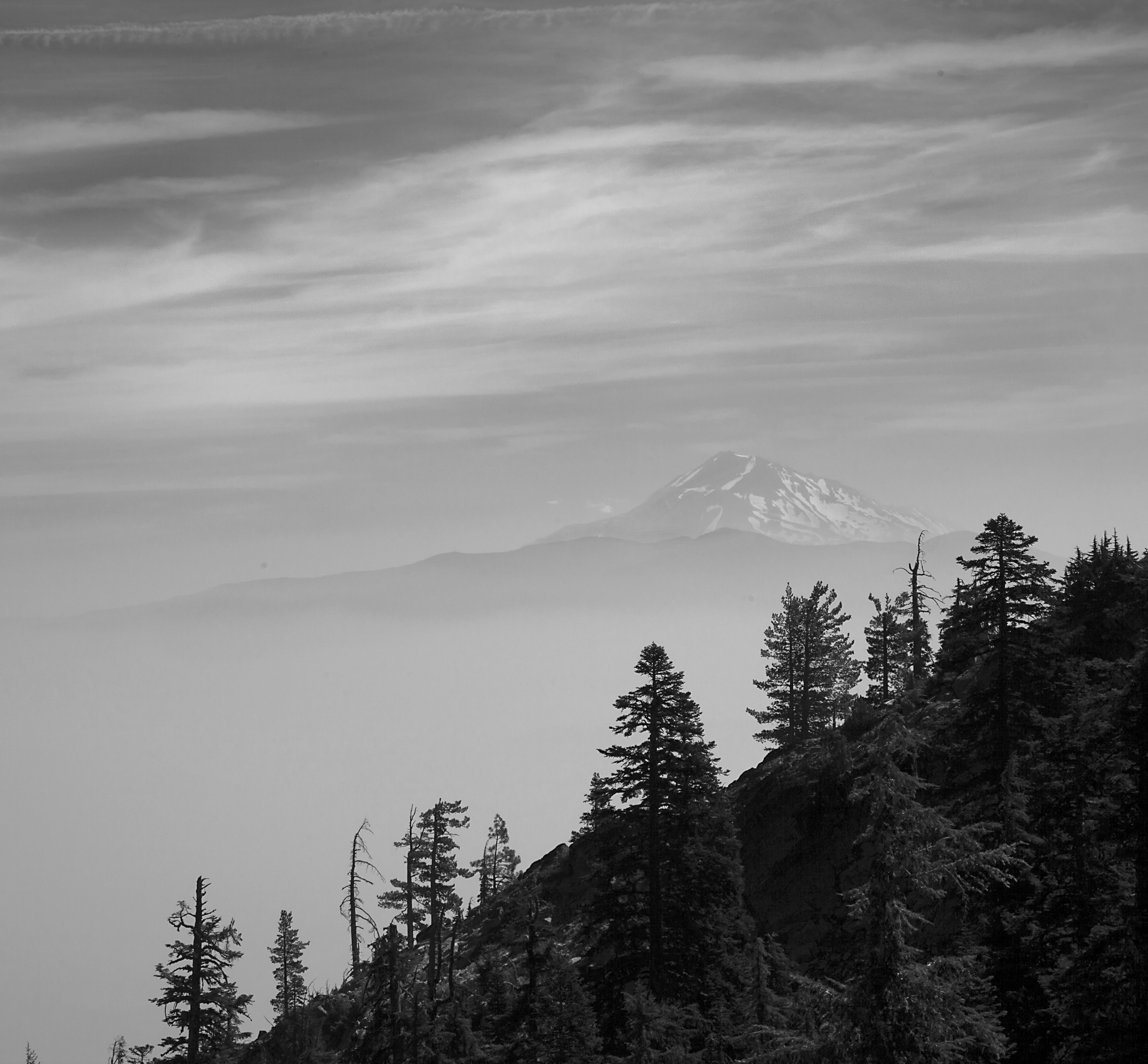
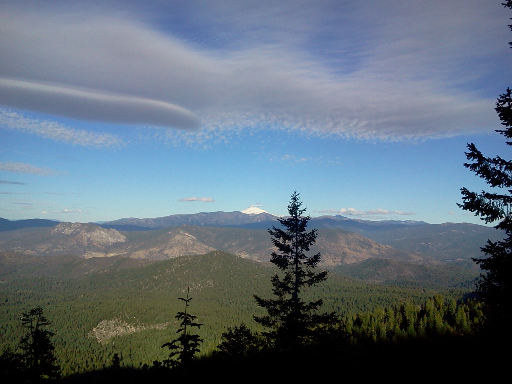
Mount Shasta from the Russian Wilderness, Siskiyou County, CA, August 2017

View from the road walk

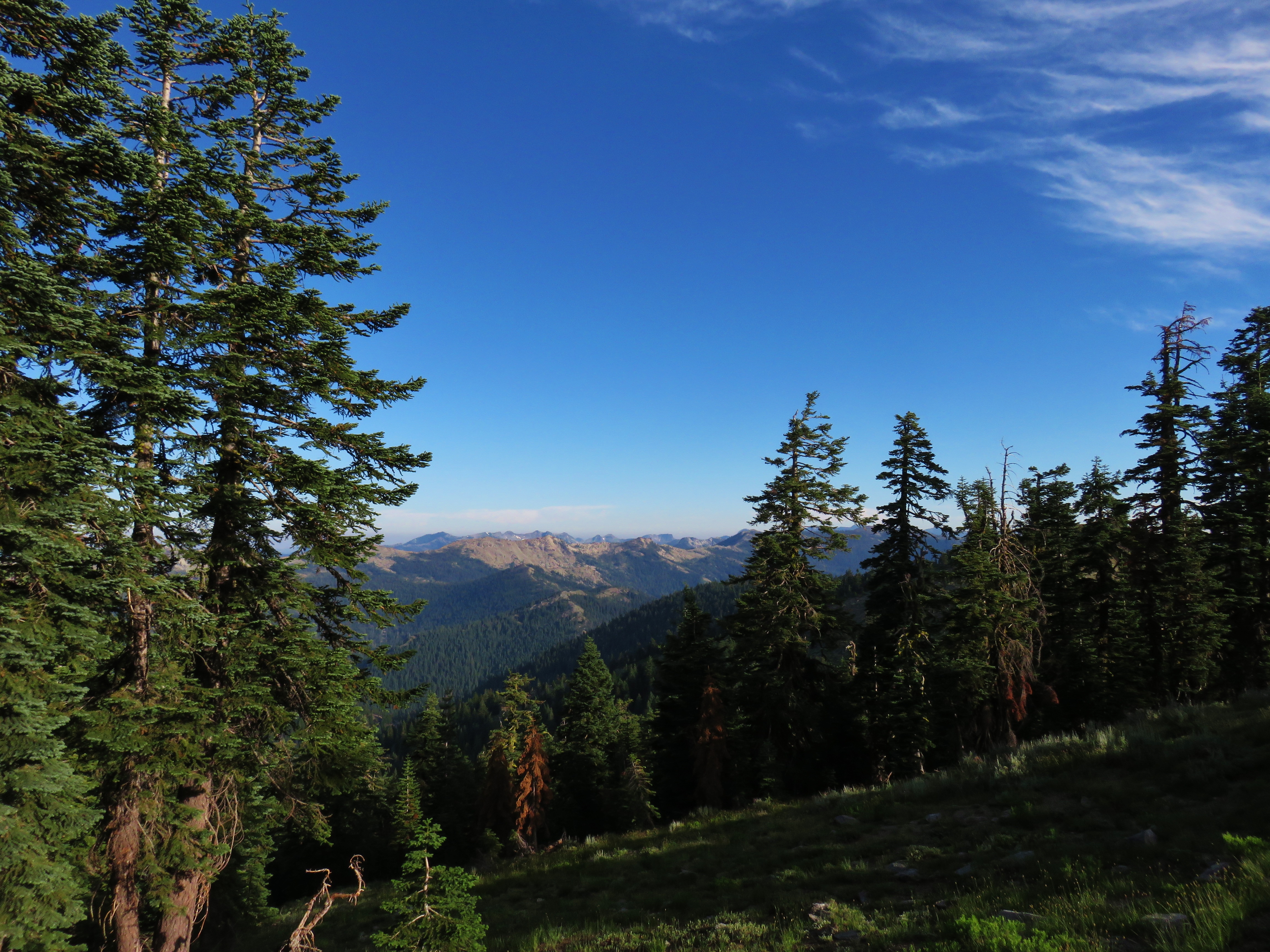
View from the Pacific Crest Trail
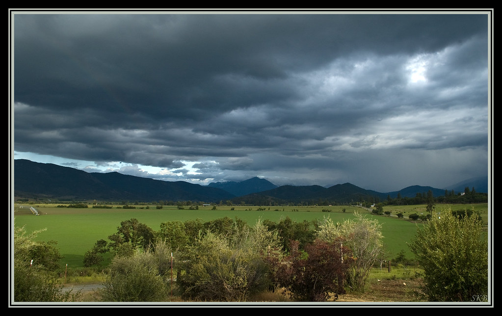
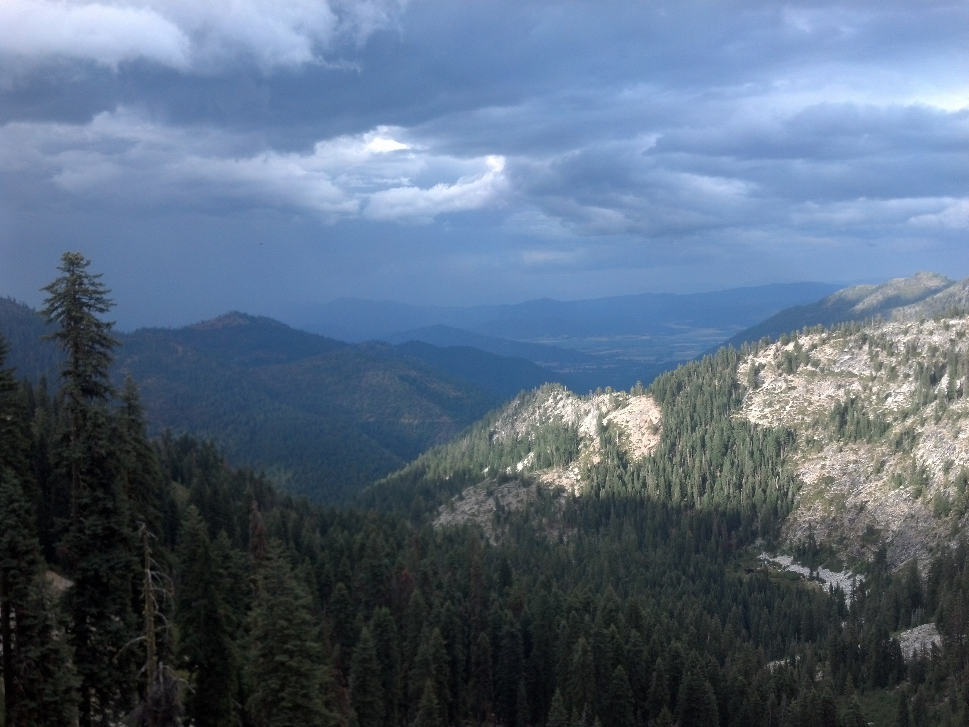
Afternoon Thunder Shower
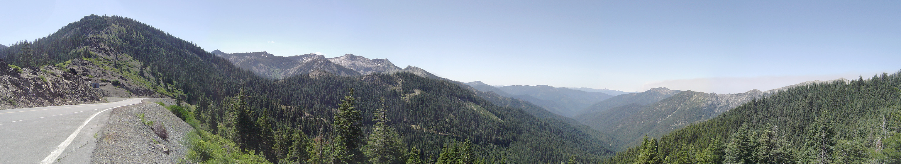
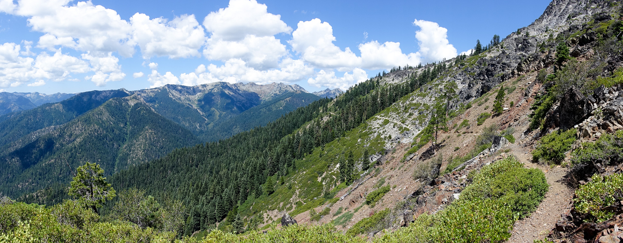
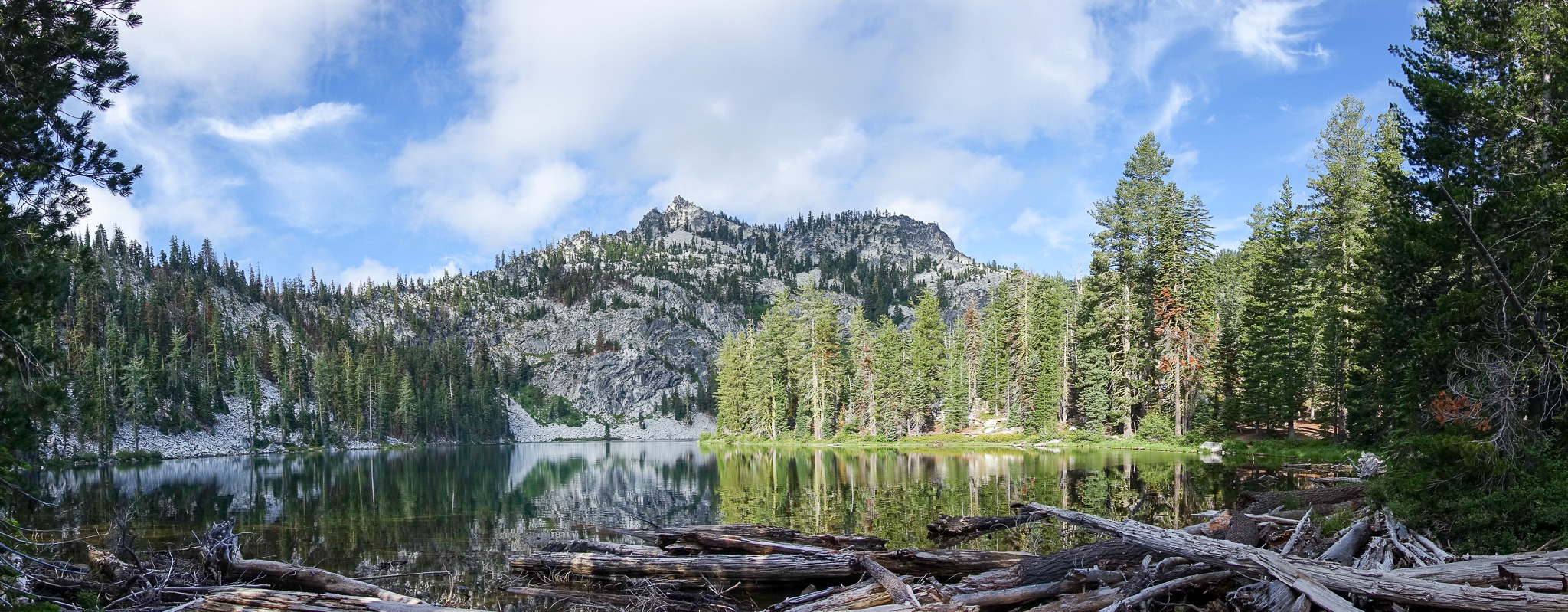
Etna Summit Panorama
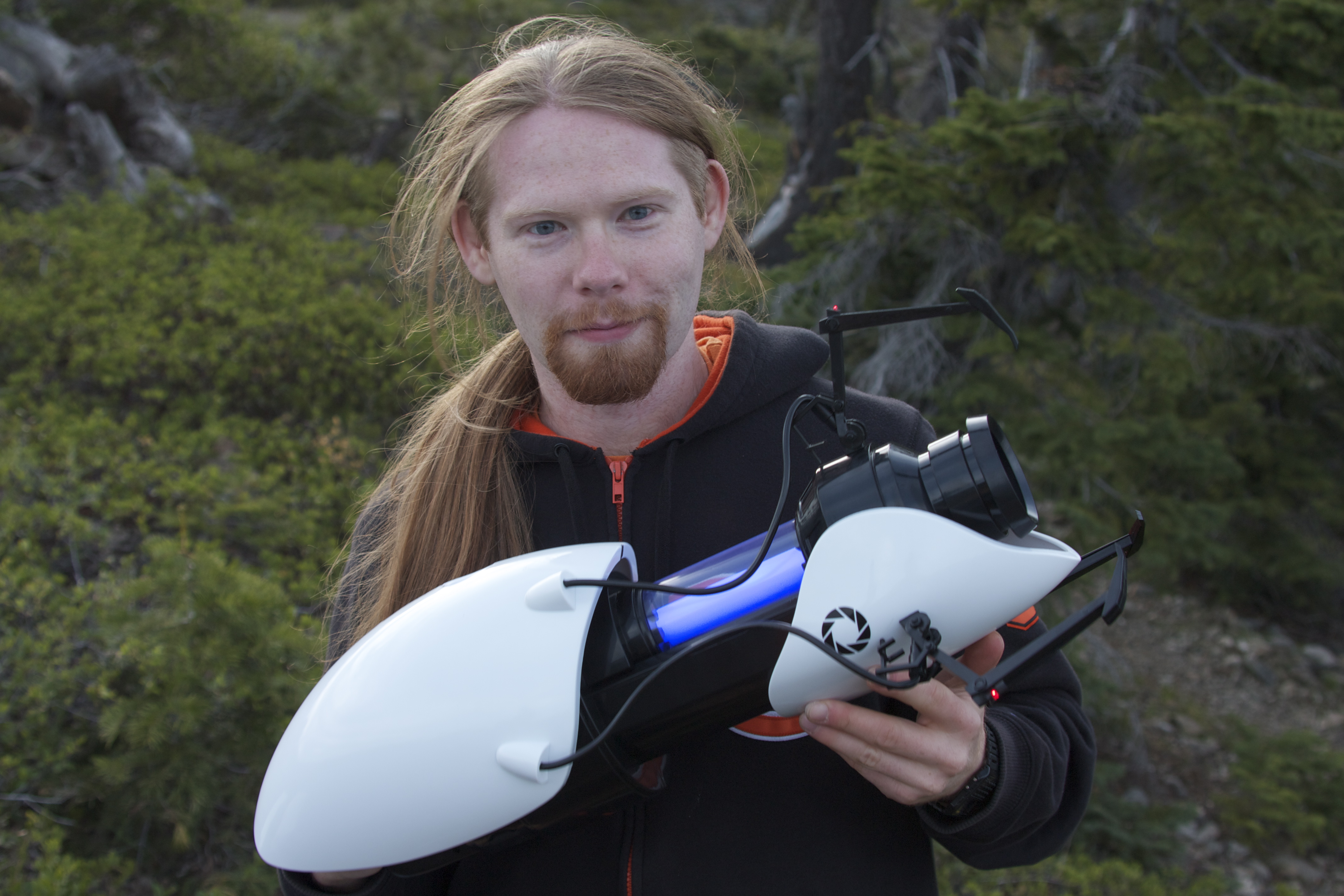
Zach's portal gun
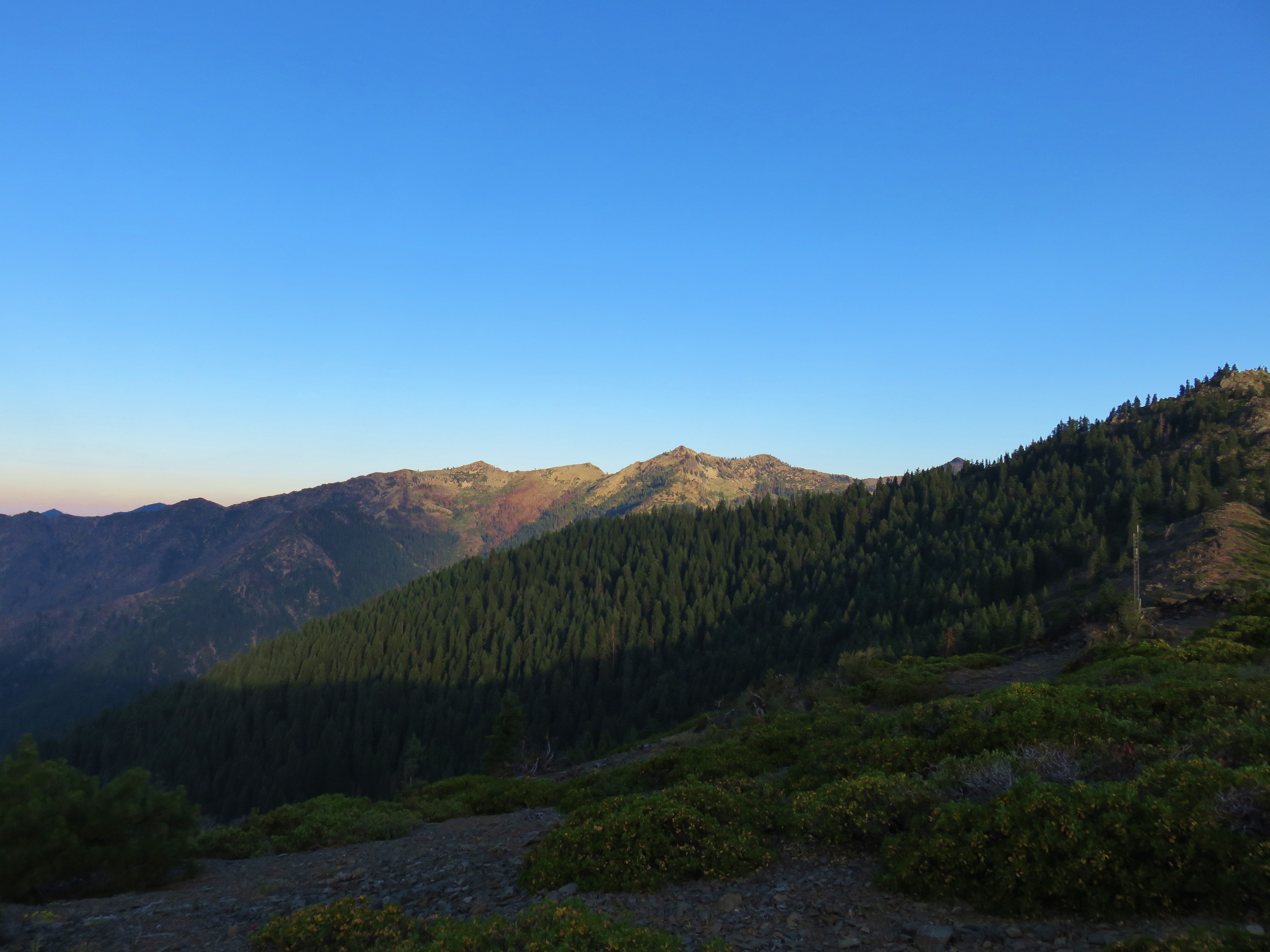
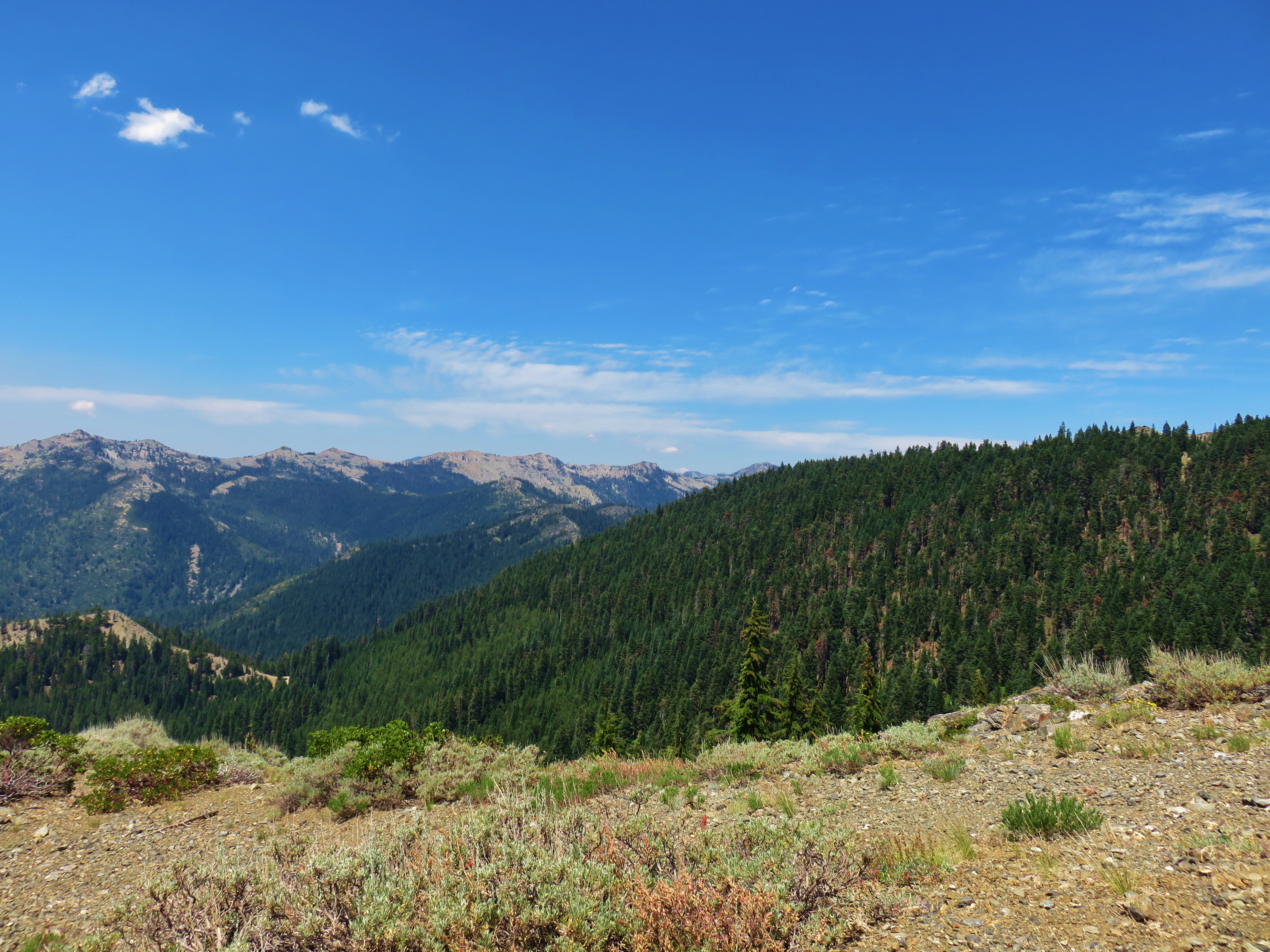
View from the Etna Summit
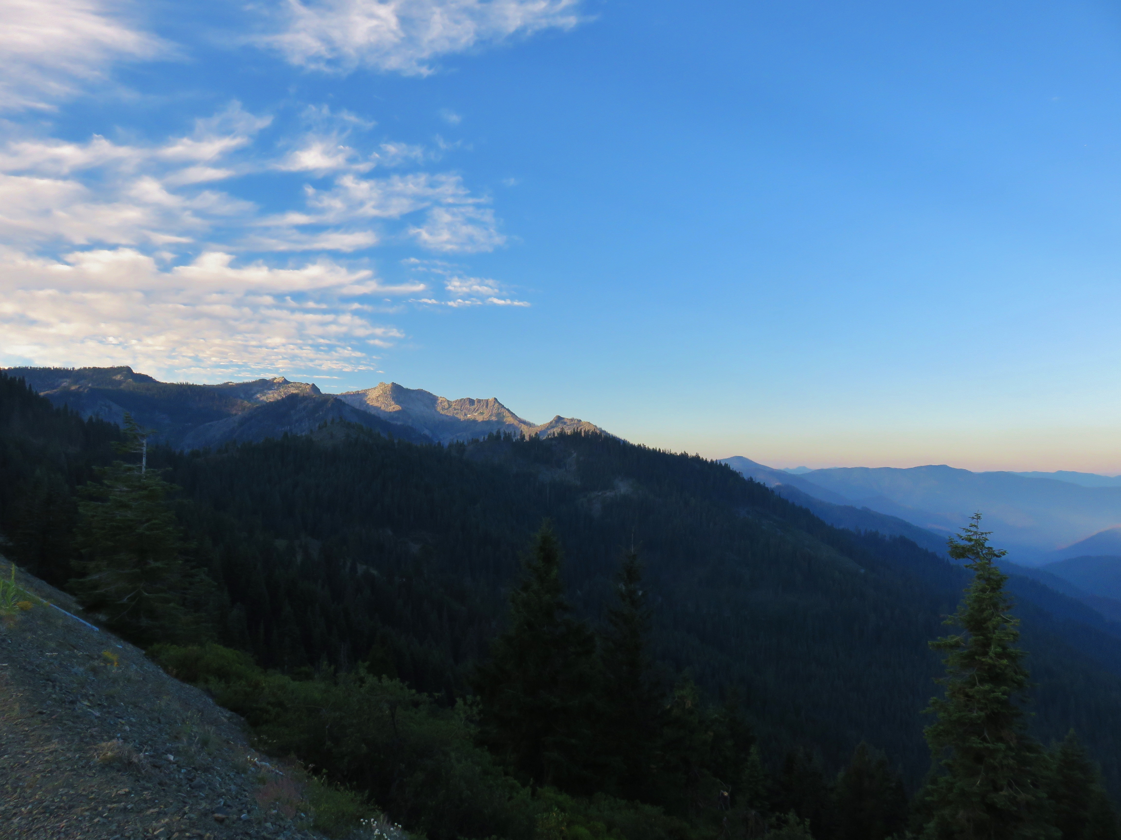
View from the Etna Summit
Pot Of Gold In Them Thar Hills
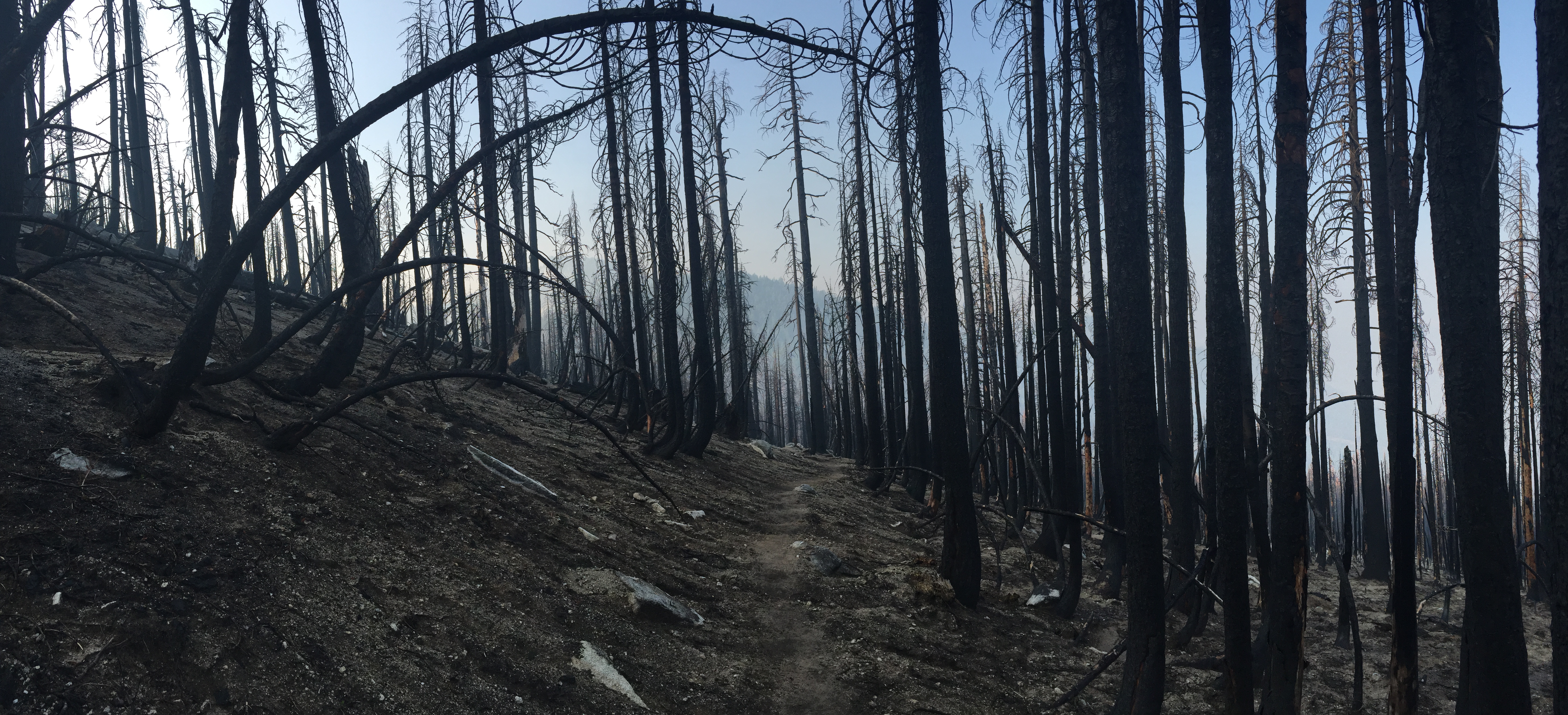
Fire season 2017

David trip

Etna, California
PCT from iPhone
Fifth group
KK Bar Ranch
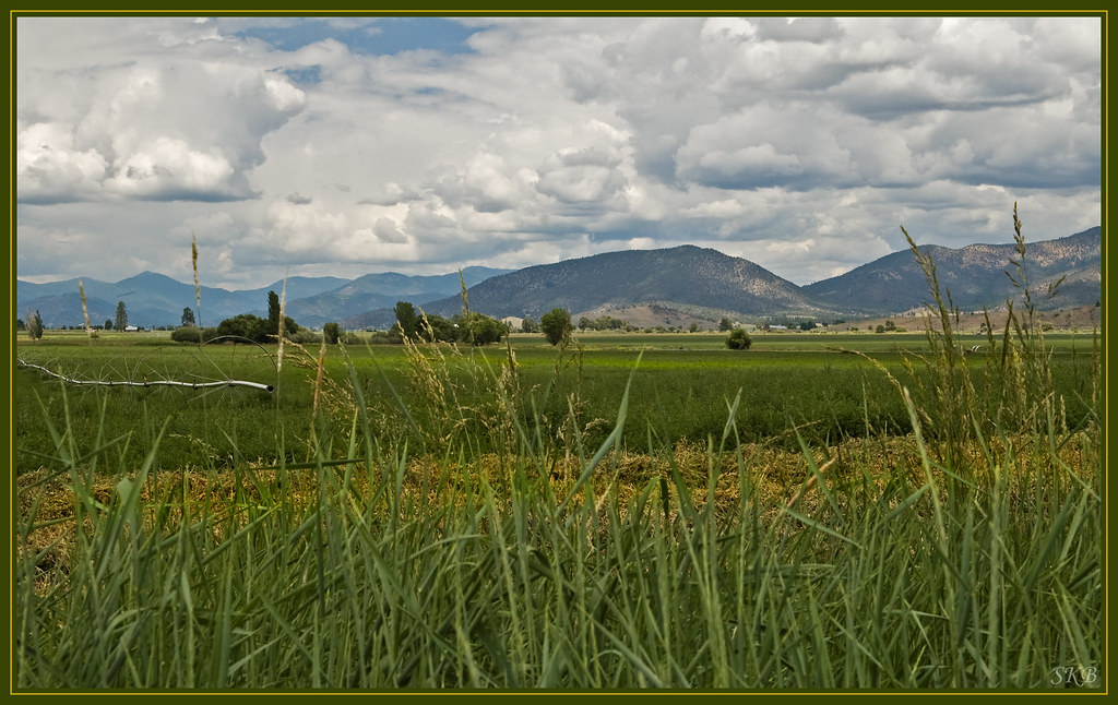
looking east across the etna valley, the eddy mountains, and shasta
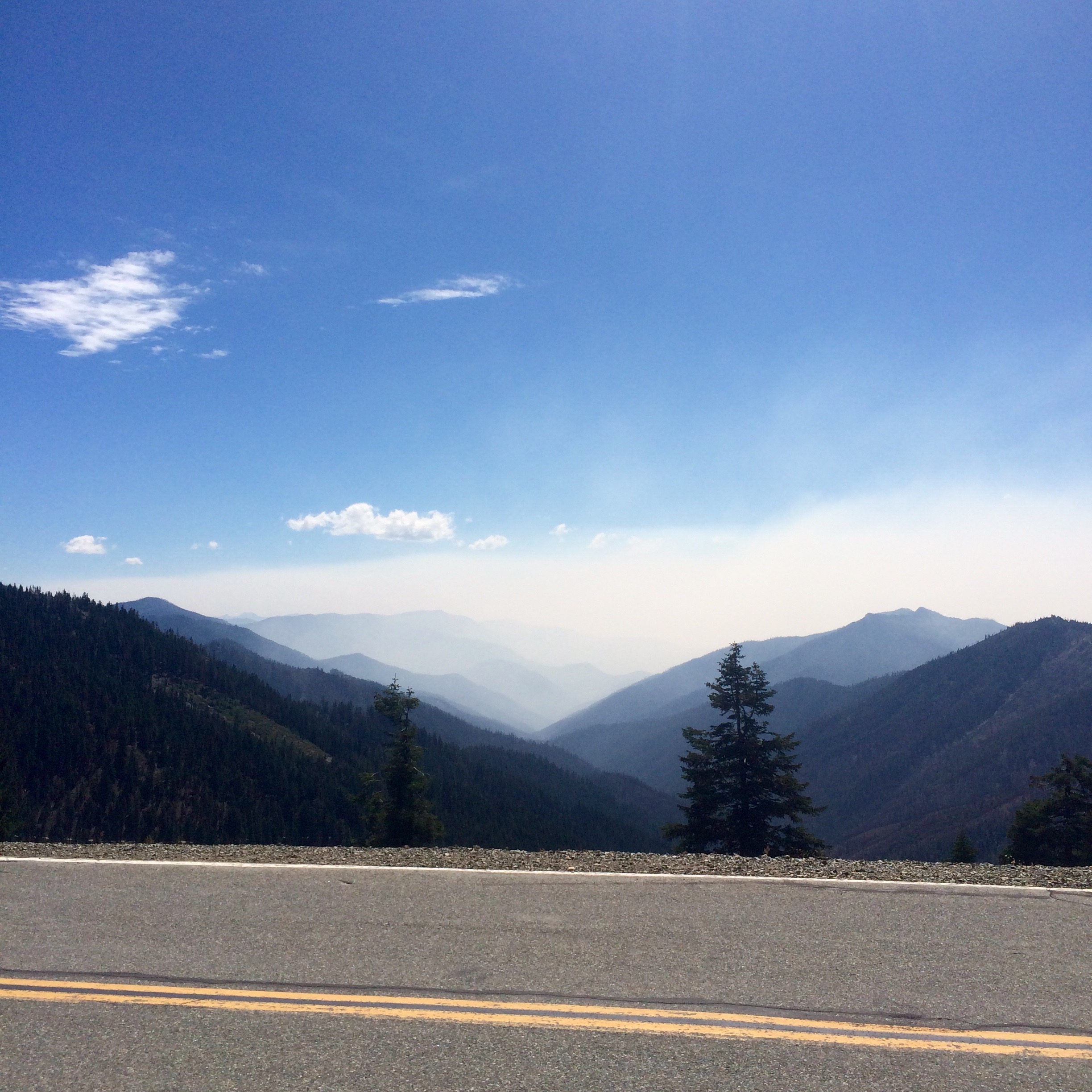
Thunderstorms after leaving Etna

Etna Summit, CA 006
David trip
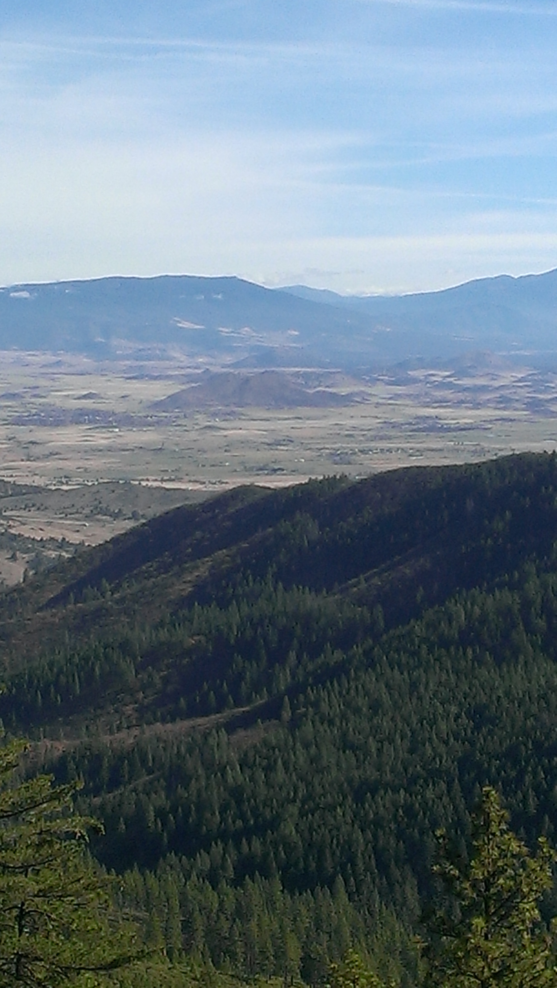
North from Etna
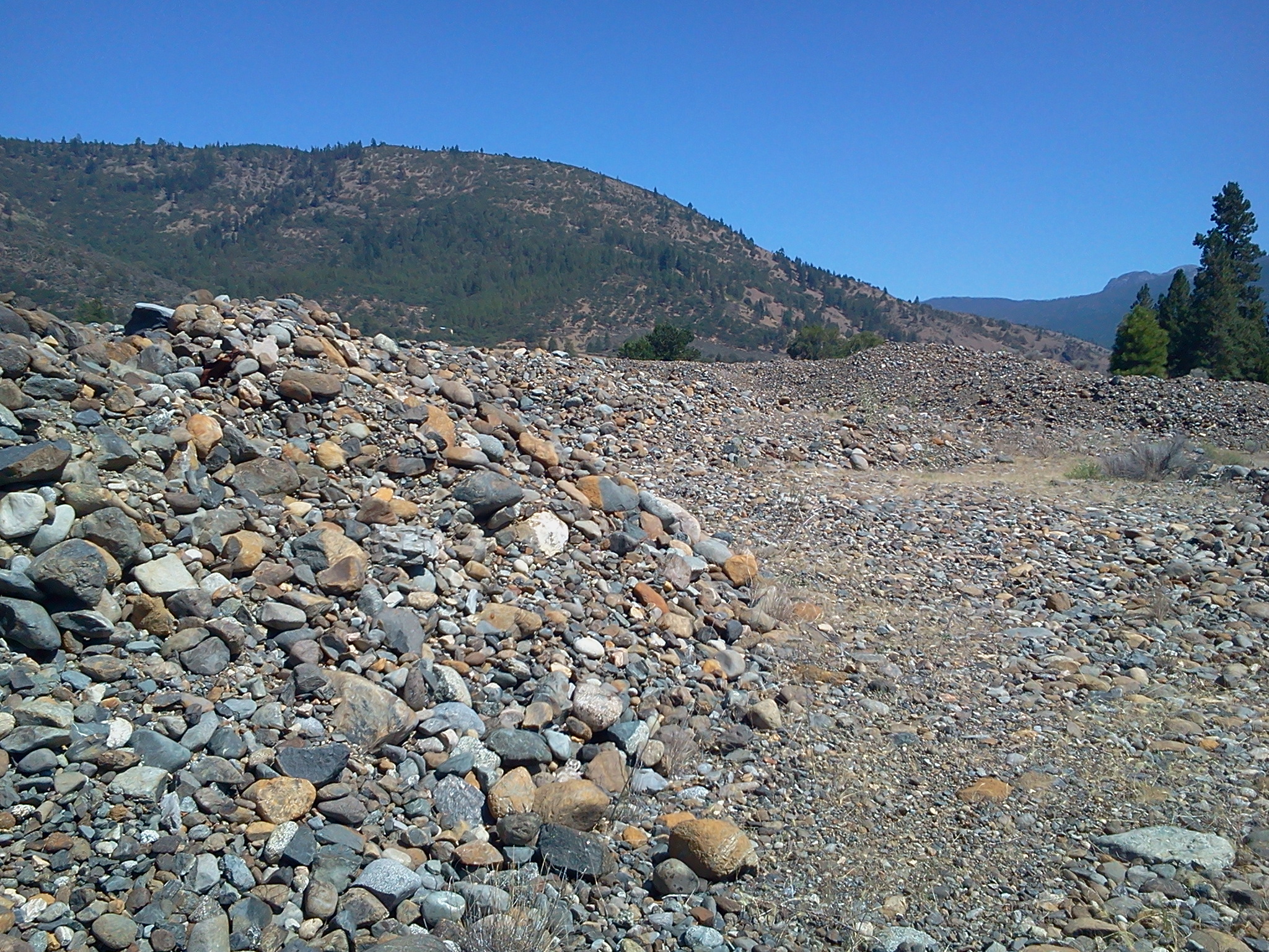
long talus piles on the scott river, possibly from placer mining
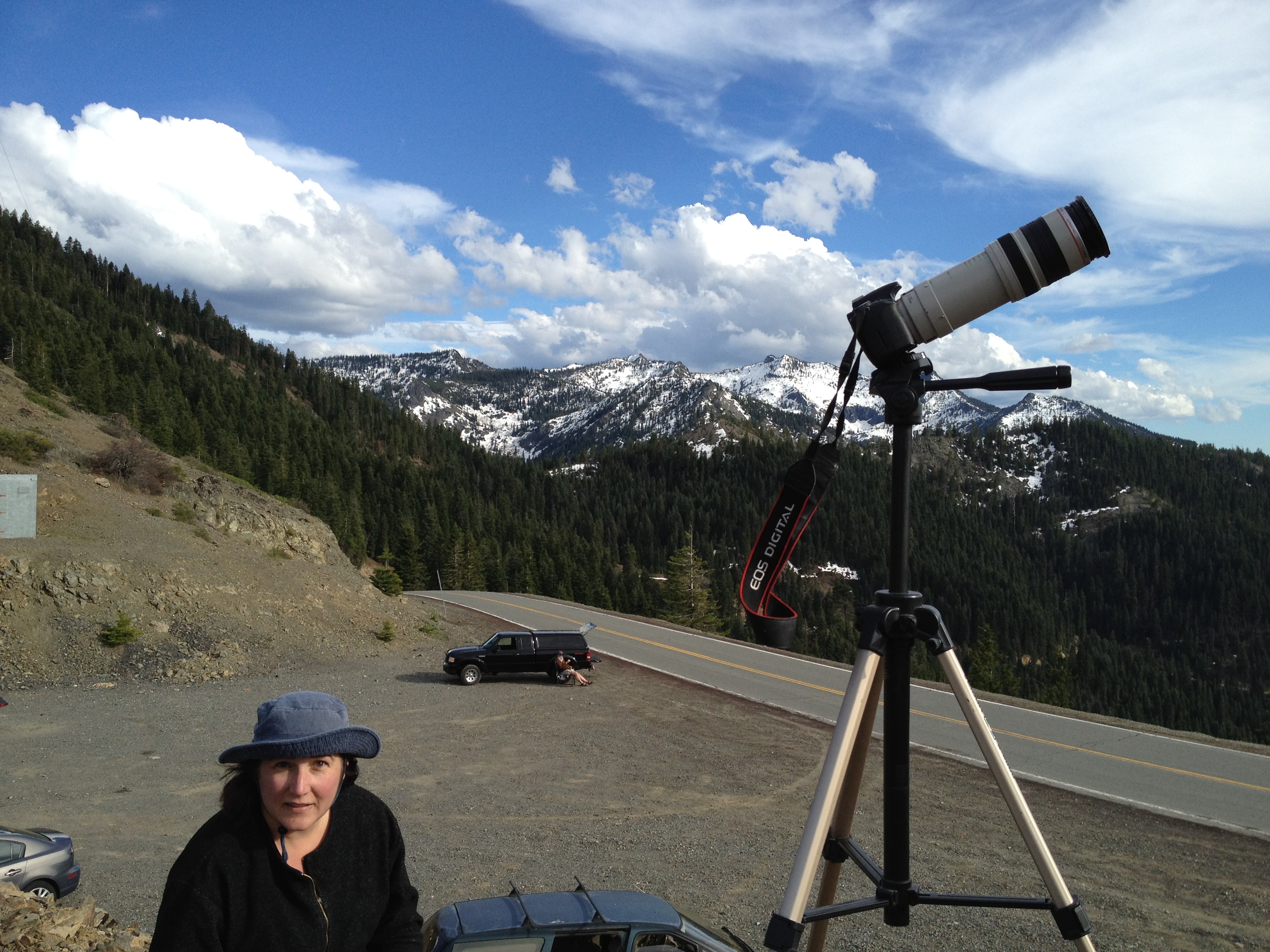
Ready for Eclipse

Back on the trail, solo once more
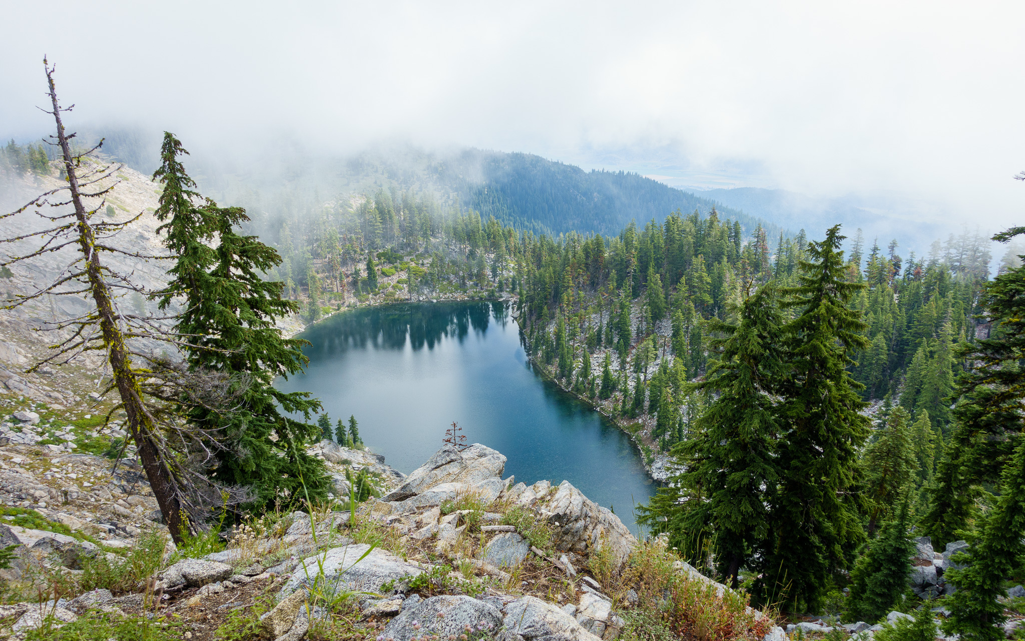
Smith Lake, far below in the mist
Paynes Lake, m1592
Fifth group
PCT from iPhone
Topographic Map of Main Street, Main St, California, USA
Find elevation by address:

Places near Main Street, Main St, California, USA:
Main St, Etna, CA, USA
Etna
Scott Valley Rd, Etna, CA, USA
1219 Patterson Creek Rd
2104 Sawyers Bar Rd
2104 Sawyers Bar Rd
2104 Sawyers Bar Rd
Greenview
Quartz Valley Rd, Fort Jones, CA, USA
9814 Ca-3
Albert Lake
148 Newton St
Fort Jones
12094 Oak Mill Dr
Callahan
1334 S Fork Rd
9007 Marble Mountain Ln
9007 Marble Mountain Ln
9007 Marble Mountain Ln
8701 Marble Mountain Ln
Recent Searches:
- Elevation of Elwyn Dr, Roanoke Rapids, NC, USA
- Elevation of Congressional Dr, Stevensville, MD, USA
- Elevation of Bellview Rd, McLean, VA, USA
- Elevation of Stage Island Rd, Chatham, MA, USA
- Elevation of Shibuya Scramble Crossing, 21 Udagawacho, Shibuya City, Tokyo -, Japan
- Elevation of Jadagoniai, Kaunas District Municipality, Lithuania
- Elevation of Pagonija rock, Kranto 7-oji g. 8"N, Kaunas, Lithuania
- Elevation of Co Rd 87, Jamestown, CO, USA
- Elevation of Tenjo, Cundinamarca, Colombia
- Elevation of Côte-des-Neiges, Montreal, QC H4A 3J6, Canada