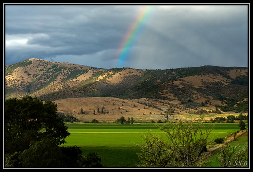
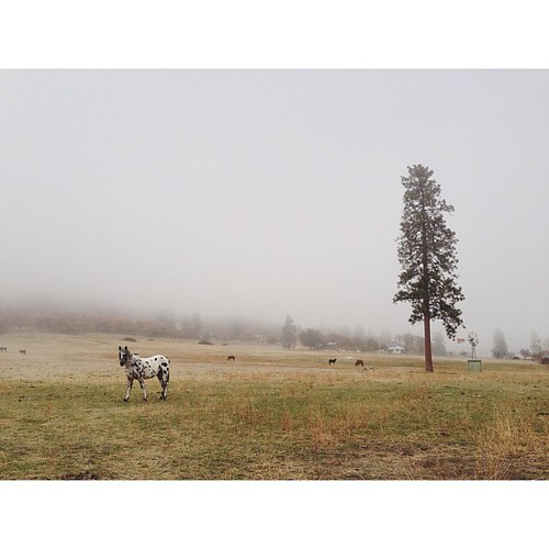
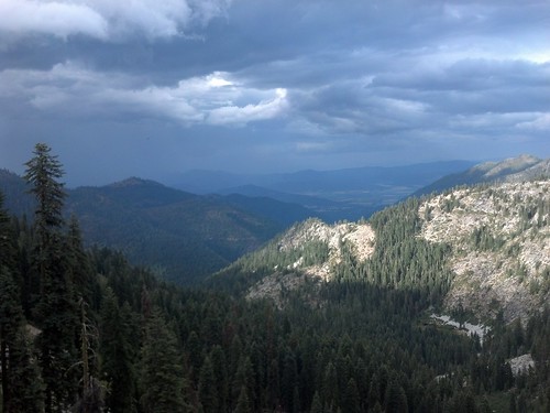
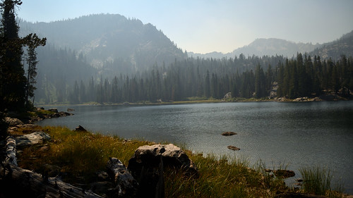
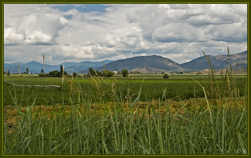
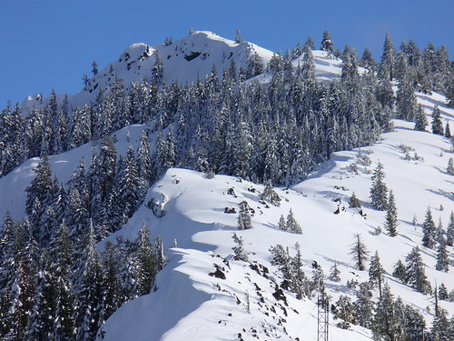
Elevation of Patterson Creek Rd, Etna, CA, USA
Location: United States > California > Siskiyou County > Etna >
Longitude: -122.93247
Latitude: 41.514557
Elevation: 934m / 3064feet
Barometric Pressure: 91KPa
Related Photos:
Topographic Map of Patterson Creek Rd, Etna, CA, USA
Find elevation by address:

Places near Patterson Creek Rd, Etna, CA, USA:
Scott Valley Rd, Etna, CA, USA
Greenview
Quartz Valley Rd, Fort Jones, CA, USA
Etna
Main St, Etna, CA, USA
Main Street
2104 Sawyers Bar Rd
2104 Sawyers Bar Rd
2104 Sawyers Bar Rd
9007 Marble Mountain Ln
9007 Marble Mountain Ln
9007 Marble Mountain Ln
8701 Marble Mountain Ln
Smokey Lane
6349 Scott River Rd
148 Newton St
Fort Jones
12094 Oak Mill Dr
9515 Scott River Rd
Boulder Peak
Recent Searches:
- Elevation of Congressional Dr, Stevensville, MD, USA
- Elevation of Bellview Rd, McLean, VA, USA
- Elevation of Stage Island Rd, Chatham, MA, USA
- Elevation of Shibuya Scramble Crossing, 21 Udagawacho, Shibuya City, Tokyo -, Japan
- Elevation of Jadagoniai, Kaunas District Municipality, Lithuania
- Elevation of Pagonija rock, Kranto 7-oji g. 8"N, Kaunas, Lithuania
- Elevation of Co Rd 87, Jamestown, CO, USA
- Elevation of Tenjo, Cundinamarca, Colombia
- Elevation of Côte-des-Neiges, Montreal, QC H4A 3J6, Canada
- Elevation of Bobcat Dr, Helena, MT, USA

