Elevation of Birdtown, AR, USA
Location: United States > Arkansas > Conway County > Bird Township >
Longitude: -92.607660
Latitude: 35.3061916
Elevation: 150m / 492feet
Barometric Pressure: 100KPa
Elevation Map:
Satellite Map:
Related Photos:
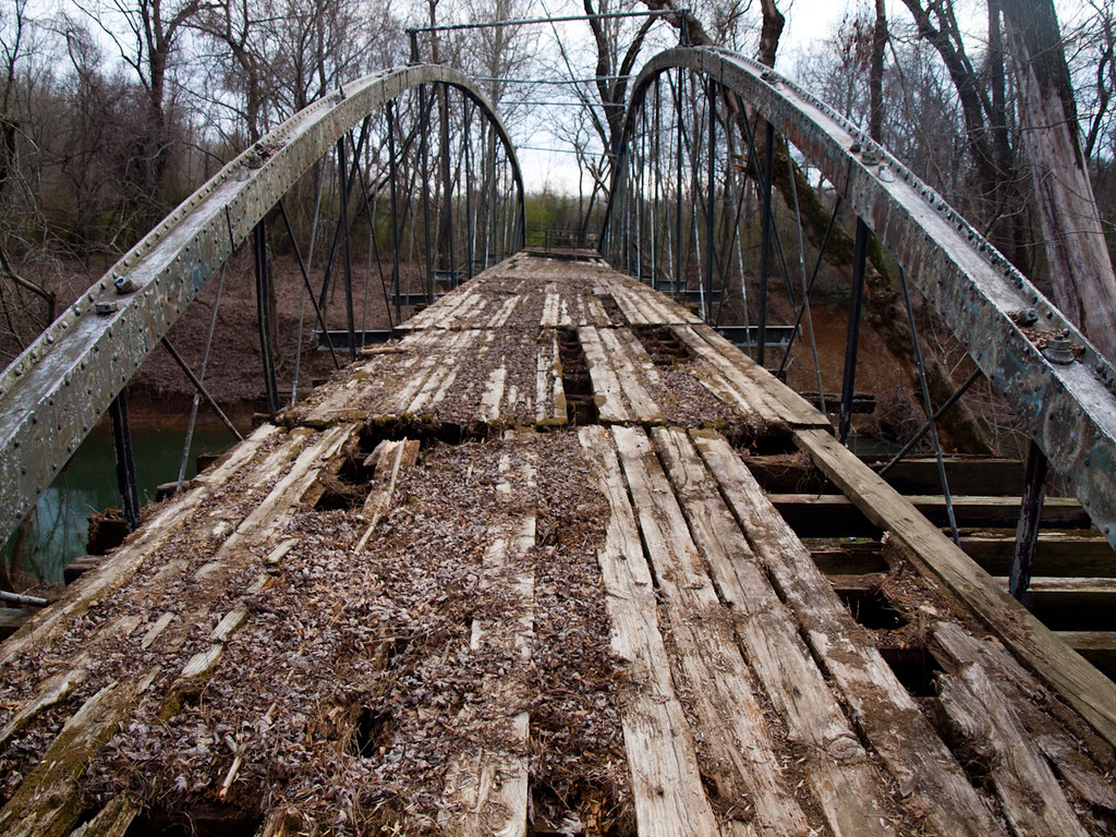
Springfield Bridge
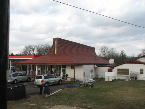
Plumerville Rear View

Springfield Bridge

2013-10-13 at 08-29-44.jpg
Center Ridge, Arkansas
Center Ridge, Arkansas

unsafe passage
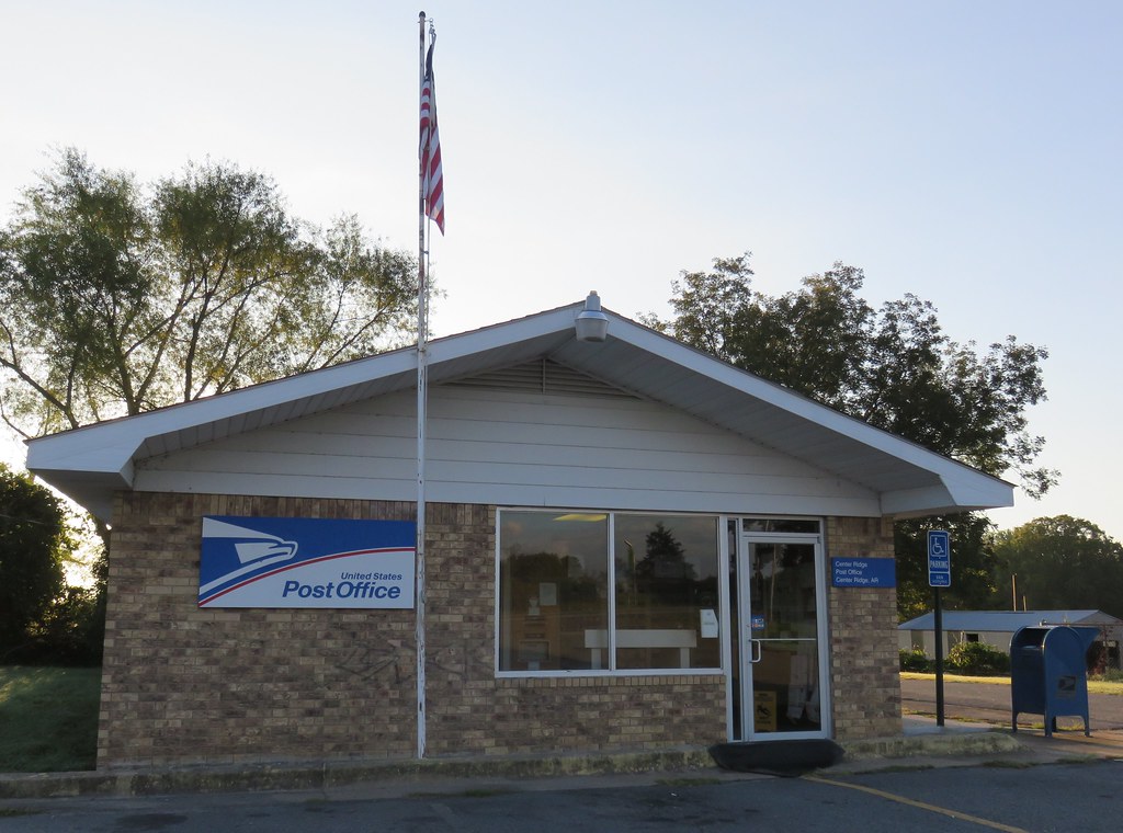
Post Office 72027 (Center Ridge, Arkansas)
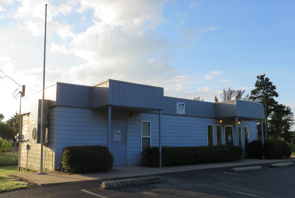
Post Office 72156 (Solgohachia, Arkansas)

Lunch at 34,000 feet

Springfield Bridge
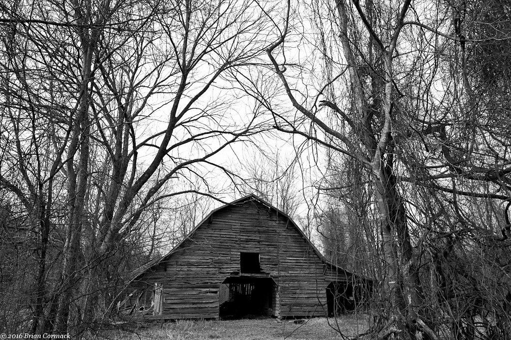
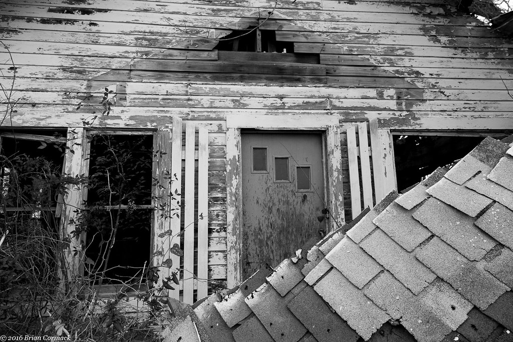
Where The Barns Have No Name
All That You Can't Leave Behind
With Or Without You

#cedar #creek on #petitjean #mountain #statepark

Autumn's last gasp

2013-12-07 11.07.48

2013-12-23 06.16.00

2014-03-21 10.58.22

2014-03-23 08.28.25

2013-10-06 07.42.47

2013-10-08 09.52.00

2013-10-08 10.08.15

2013-10-10 07.16.03
Topographic Map of Birdtown, AR, USA
Find elevation by address:

Places near Birdtown, AR, USA:
Bird Township
4554 Ar-9
Tucker Mountain Rd, Solgohachia, AR, USA
2446 Ar-92
Mclaren Township
1 Robb Rd
Springfield
Catholic Point Township
Steele Township
8 Hill Creek Dr, Plumerville, AR, USA
Conway County
AR-9, Morrilton, AR, USA
St. Vincent Township
Washington Township
AR-95, Hattieville, AR, USA
203 Burgess Ln
Howard Township
AR-95, Morrilton, AR, USA
Plumerville
E Main St, Plumerville, AR, USA
Recent Searches:
- Elevation of Elk City, OK, USA
- Elevation of Erika Dr, Windsor, CA, USA
- Elevation of Village Ln, Finleyville, PA, USA
- Elevation of 24 Oakland Rd #, Scotland, ON N0E 1R0, Canada
- Elevation of Deep Gap Farm Rd E, Mill Spring, NC, USA
- Elevation of Dog Leg Dr, Minden, NV, USA
- Elevation of Dog Leg Dr, Minden, NV, USA
- Elevation of Kambingan Sa Pansol Atbp., Purok 7 Pansol, Candaba, Pampanga, Philippines
- Elevation of Pinewood Dr, New Bern, NC, USA
- Elevation of Mountain View, CA, USA