Elevation of 1 Robb Rd, Springfield, AR, USA
Location: United States > Arkansas > Conway County > Steele Township >
Longitude: -92.625732
Latitude: 35.245736
Elevation: -10000m / -32808feet
Barometric Pressure: 295KPa
Elevation Map:
Satellite Map:
Related Photos:

Springfield Bridge

Plumerville Rear View

Once part of the small town American landscape

Springfield Bridge

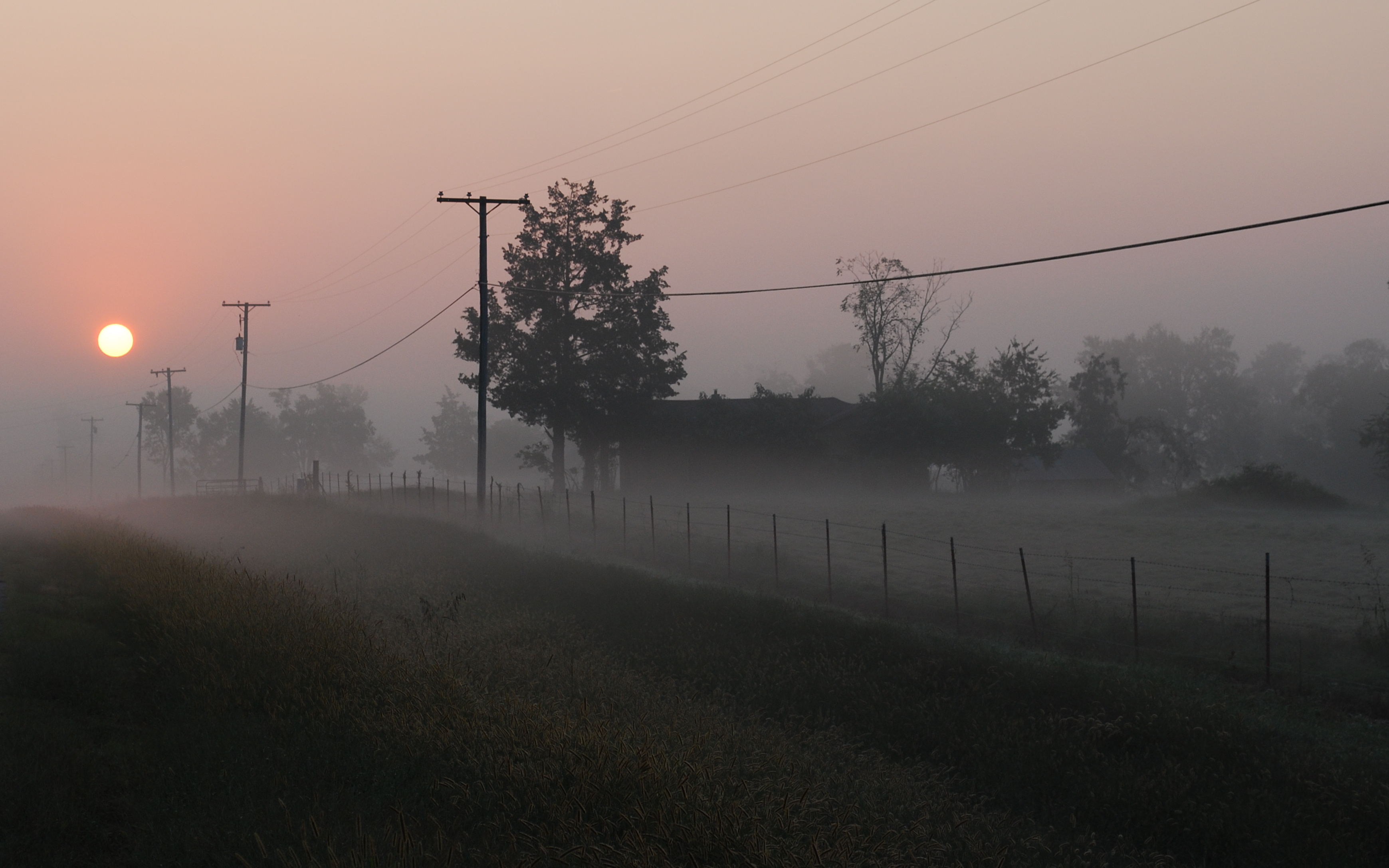
Foggy Morning

6/365
Foggy Morning

Center Ridge, Arkansas

Center Ridge, Arkansas

Foggy Morning

Foggy Morning

Foggy Morning

Onyx Cave (59)
Topographic Map of 1 Robb Rd, Springfield, AR, USA
Find elevation by address:

Places near 1 Robb Rd, Springfield, AR, USA:
Steele Township
8 Hill Creek Dr, Plumerville, AR, USA
Tucker Mountain Rd, Solgohachia, AR, USA
Birdtown
Bird Township
AR-9, Morrilton, AR, USA
4554 Ar-9
Springfield
Mclaren Township
Conway County
Washington Township
2446 Ar-92
Howard Township
Plumerville
E Main St, Plumerville, AR, USA
AR-95, Morrilton, AR, USA
AR-95, Hattieville, AR, USA
St. Vincent Township
203 Burgess Ln
Catholic Point Township
Recent Searches:
- Elevation of Leguwa, Nepal
- Elevation of County Rd, Enterprise, AL, USA
- Elevation of Kolchuginsky District, Vladimir Oblast, Russia
- Elevation of Shustino, Vladimir Oblast, Russia
- Elevation of Lampiasi St, Sarasota, FL, USA
- Elevation of Elwyn Dr, Roanoke Rapids, NC, USA
- Elevation of Congressional Dr, Stevensville, MD, USA
- Elevation of Bellview Rd, McLean, VA, USA
- Elevation of Stage Island Rd, Chatham, MA, USA
- Elevation of Shibuya Scramble Crossing, 21 Udagawacho, Shibuya City, Tokyo -, Japan