Elevation of Catholic Point Township, AR, USA
Location: United States > Arkansas > Conway County >
Longitude: -92.529697
Latitude: 35.3312373
Elevation: 131m / 430feet
Barometric Pressure: 100KPa
Elevation Map:
Satellite Map:
Related Photos:
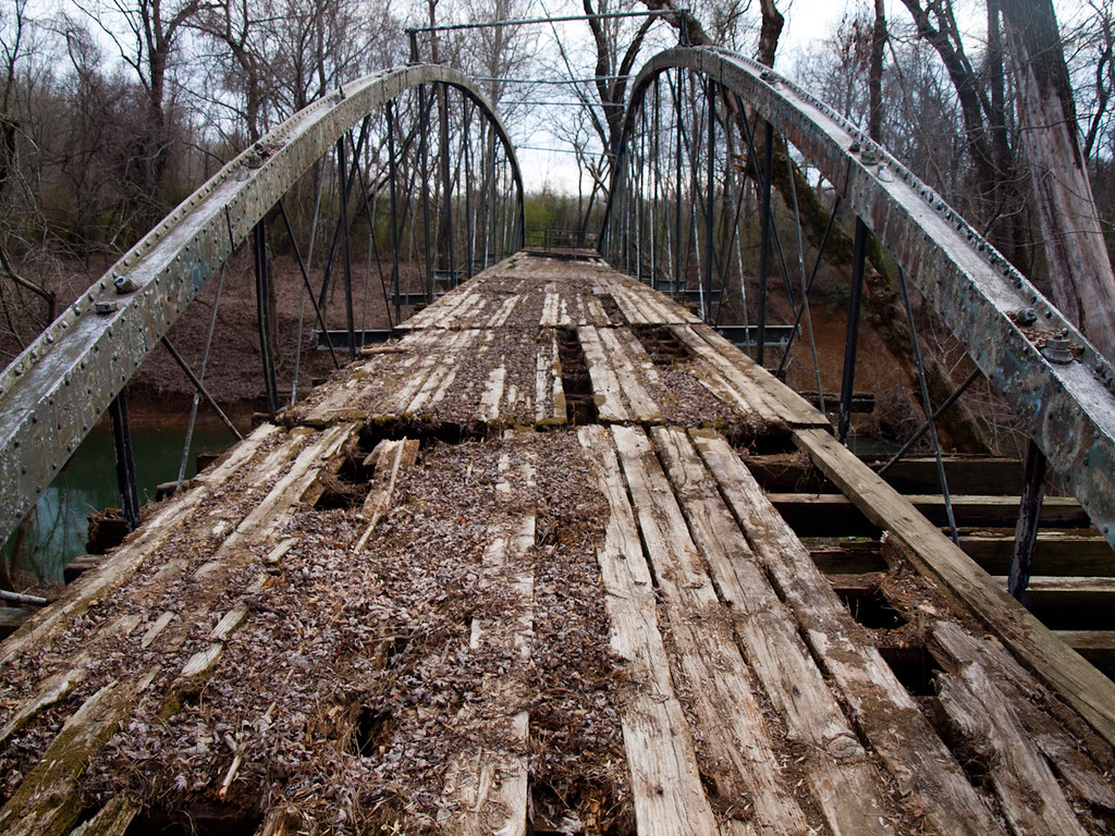
Springfield Bridge
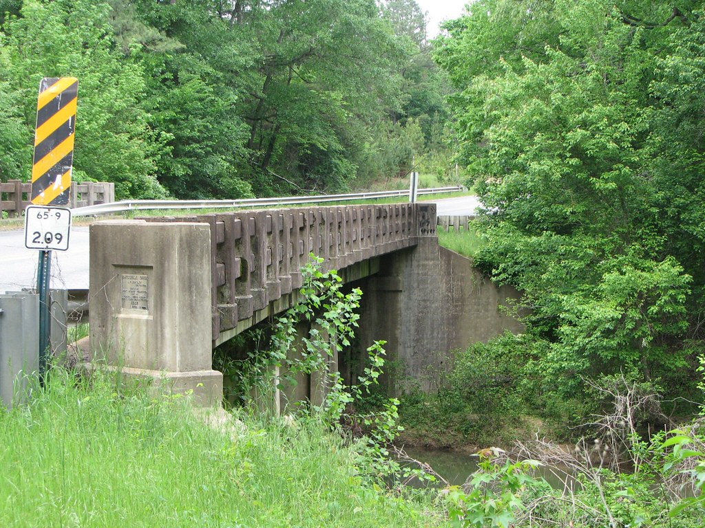
Batesville Creek-Side View

Herd Approaching

Arkansas Sunset

Springfield Bridge

2013-10-13 at 08-29-44.jpg

mossy creek

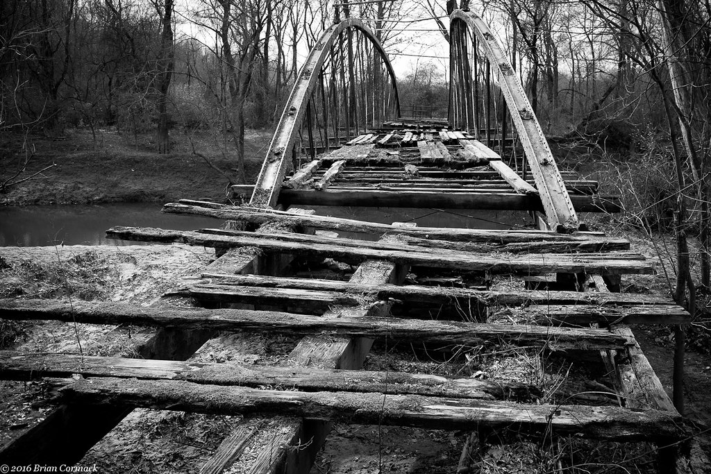
unsafe passage
Springfield Bridge
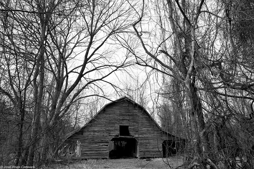
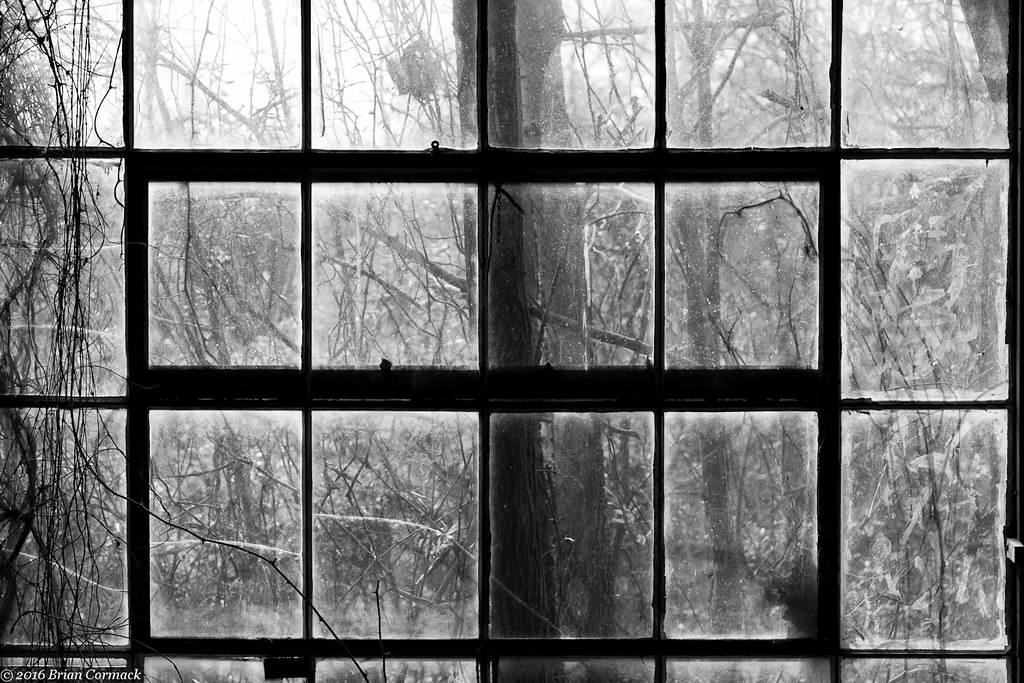
Where The Barns Have No Name
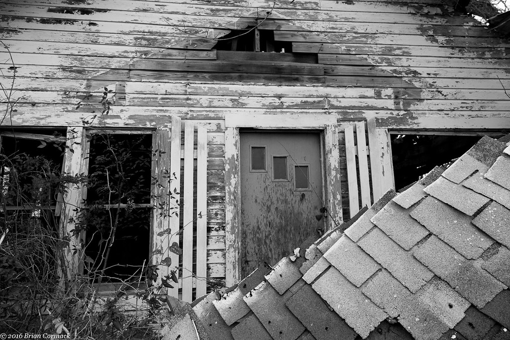
All That You Can't Leave Behind
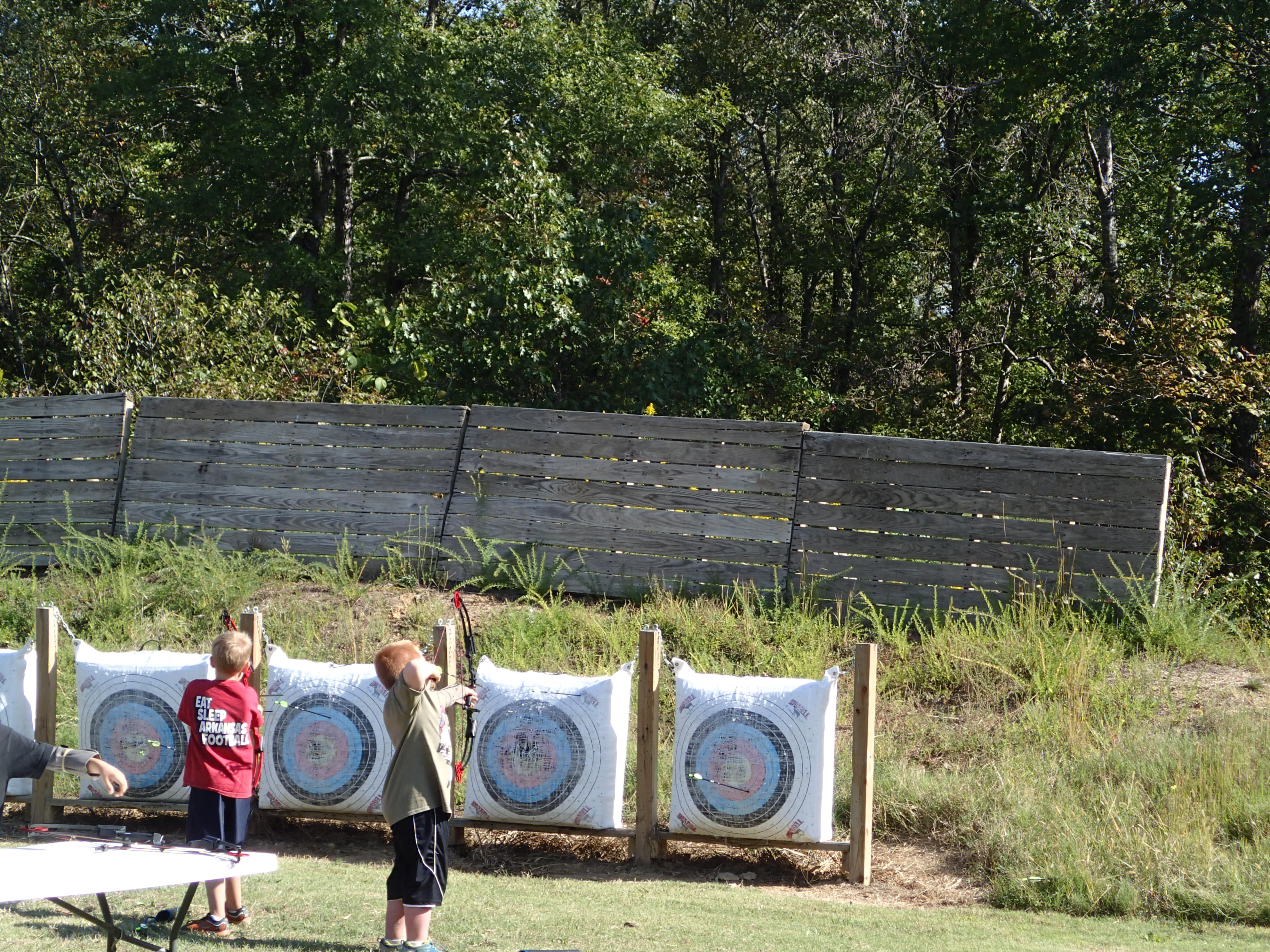
With Or Without You

#cedar #creek on #petitjean #mountain #statepark

Autumn's last gasp

Besökare Samtidigt

2013-10-13 at 10-55-34.jpg
2013-10-13 at 10-55-04.jpg
2013-10-13 at 10-53-03.jpg

2013-10-13 at 08-29-37.jpg
2013-10-13 at 07-35-02.jpg
2013-10-13 at 07-34-47.jpg
2013-10-13 at 07-16-54.jpg

2013-10-12 at 20-32-05.jpg

2013-10-12 at 20-03-07.jpg

2013-10-12 at 19-58-32.jpg
Topographic Map of Catholic Point Township, AR, USA
Find elevation by address:

Places in Catholic Point Township, AR, USA:
Places near Catholic Point Township, AR, USA:
2446 Ar-92
4554 Ar-9
Springfield
Birdtown
Bird Township
203 Burgess Ln
Tucker Mountain Rd, Solgohachia, AR, USA
1 Robb Rd
Steele Township
Mclaren Township
Clifton Township
8 Hill Creek Dr, Plumerville, AR, USA
Conway County
Howard Township
AR-9, Morrilton, AR, USA
St. Vincent Township
Washington Township
E Main St, Plumerville, AR, USA
Plumerville
AR-95, Hattieville, AR, USA
Recent Searches:
- Elevation of Keene Point Drive, Keene Point Dr, Grant, AL, USA
- Elevation of State St, Zanesville, OH, USA
- Elevation of Austin Stone Dr, Haslet, TX, USA
- Elevation of Bydgoszcz, Poland
- Elevation of Bydgoszcz, Poland
- Elevation of Calais Dr, Del Mar, CA, USA
- Elevation of Placer Mine Ln, West Jordan, UT, USA
- Elevation of E 63rd St, New York, NY, USA
- Elevation of Elk City, OK, USA
- Elevation of Erika Dr, Windsor, CA, USA