Elevation of AR-9, Morrilton, AR, USA
Location: United States > Arkansas > Conway County > Washington Township >
Longitude: -92.691882
Latitude: 35.2251809
Elevation: 104m / 341feet
Barometric Pressure: 100KPa
Elevation Map:
Satellite Map:
Related Photos:

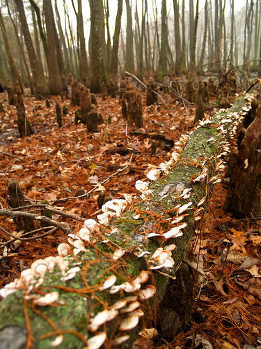
Goose Pond - Cypress Knee

Goose Pond - Solid Water
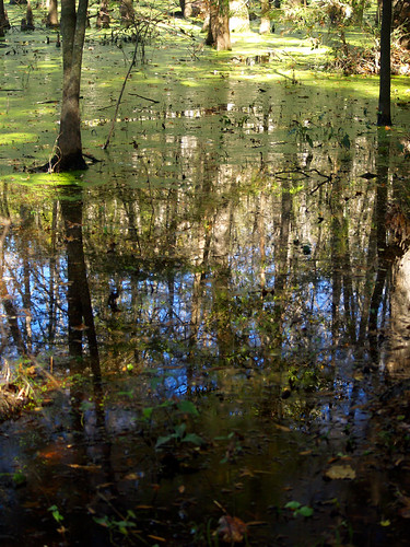
Goose Pond
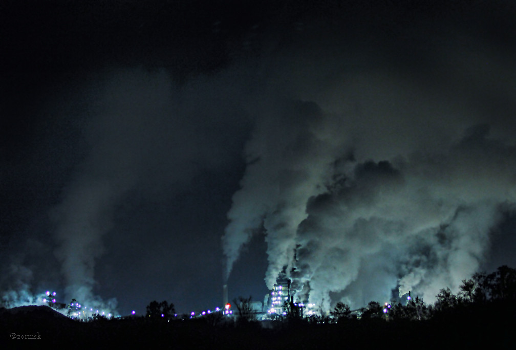
Dystopian Nightmare? (2731ba)

Goose Pond - Solid Water 2
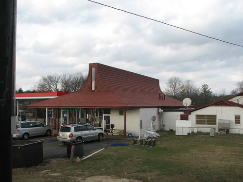
Plumerville Rear View
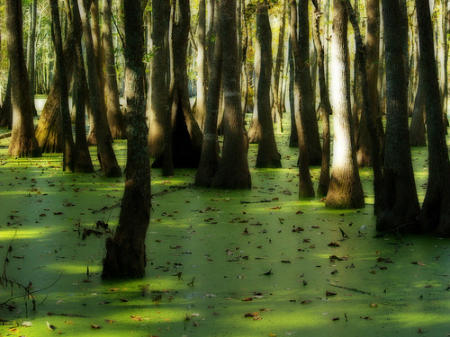
Goose Pond
Goose Pond
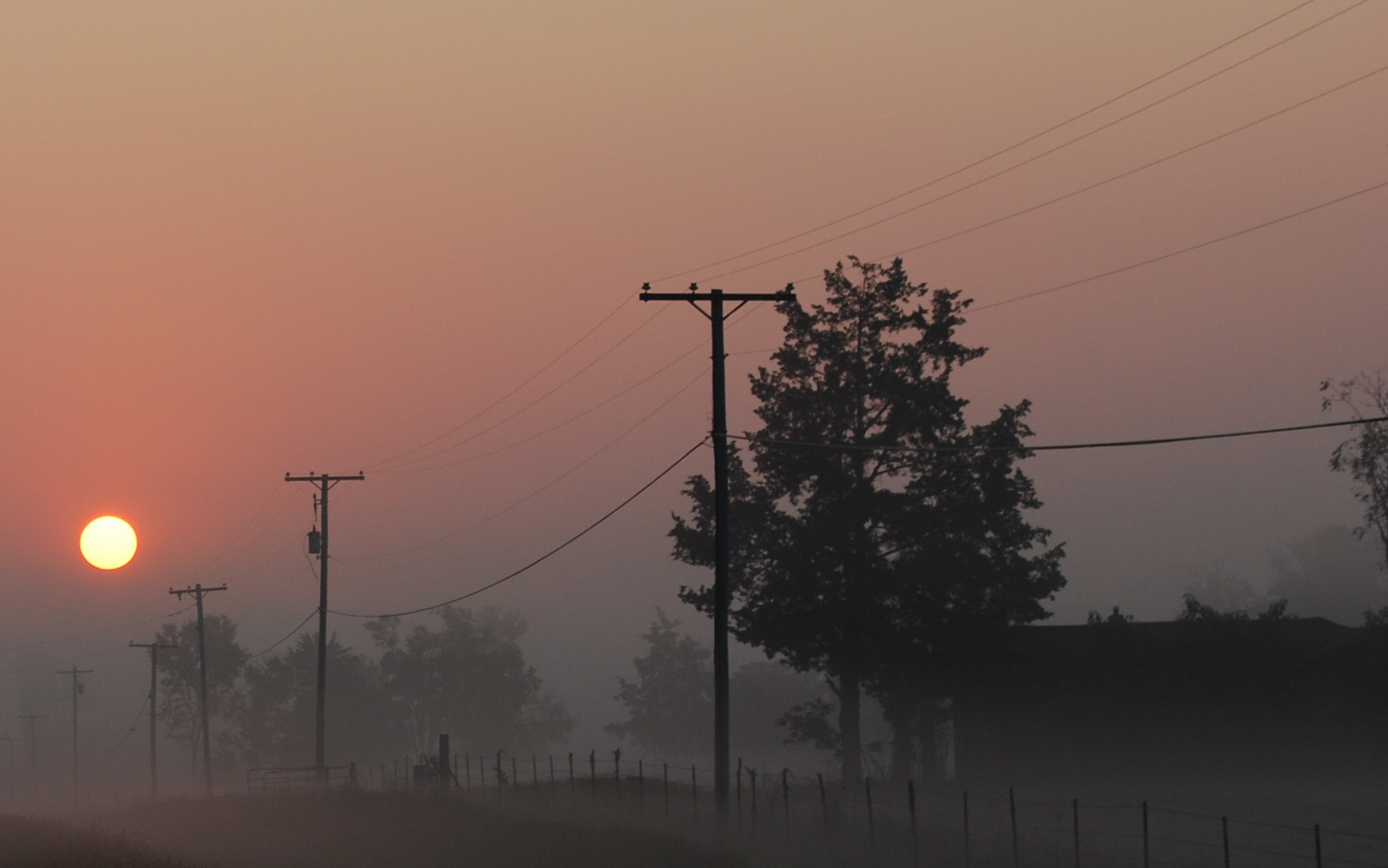
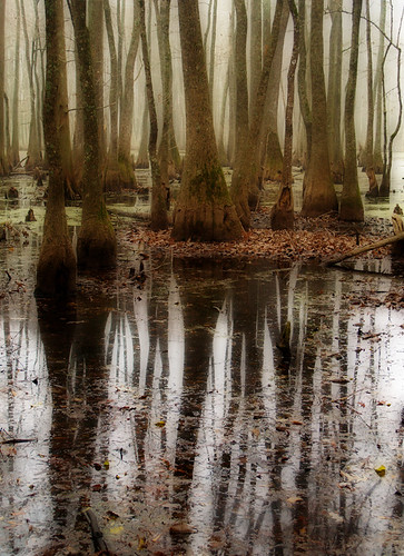
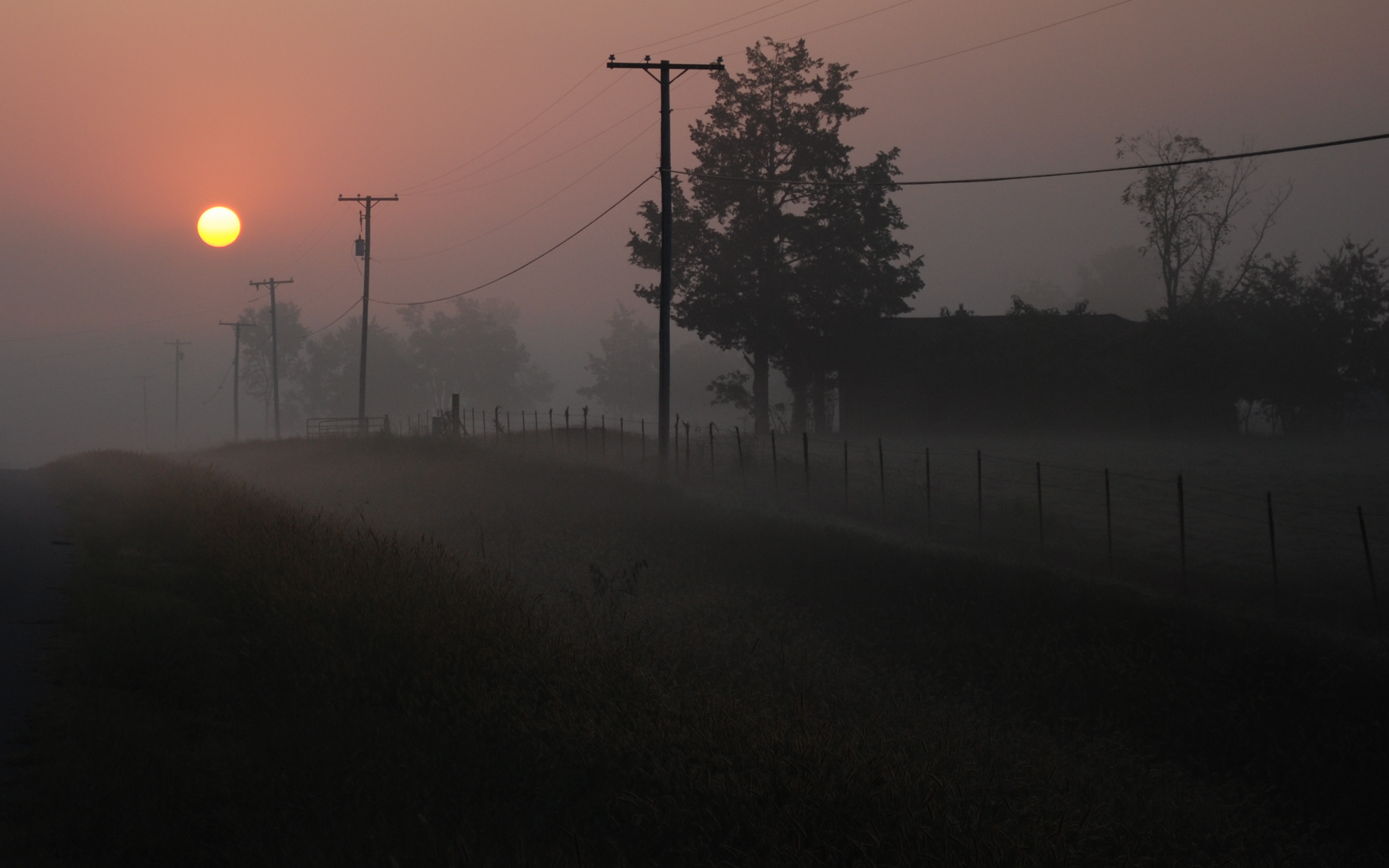
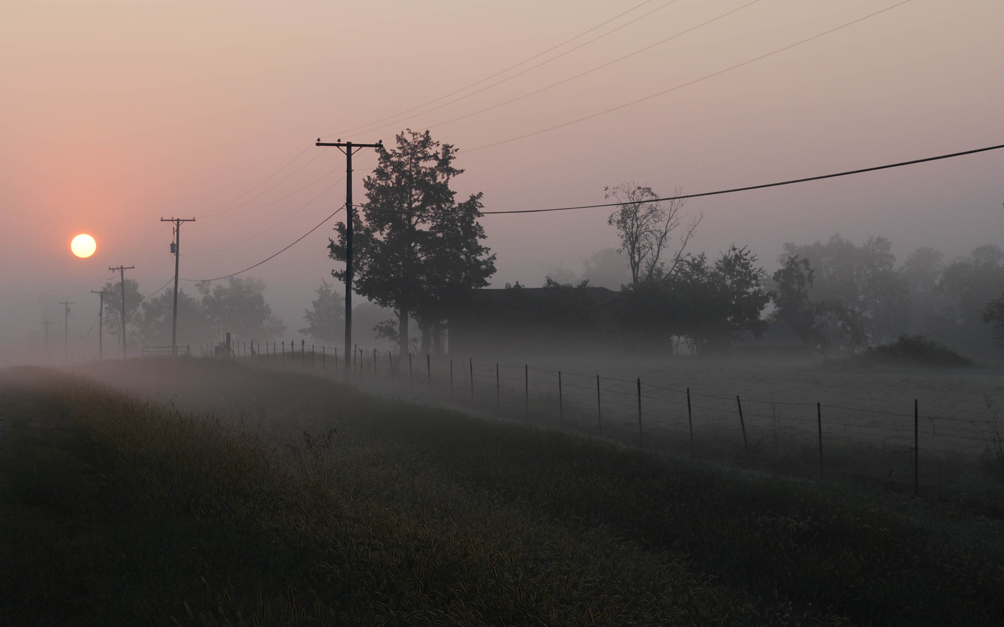
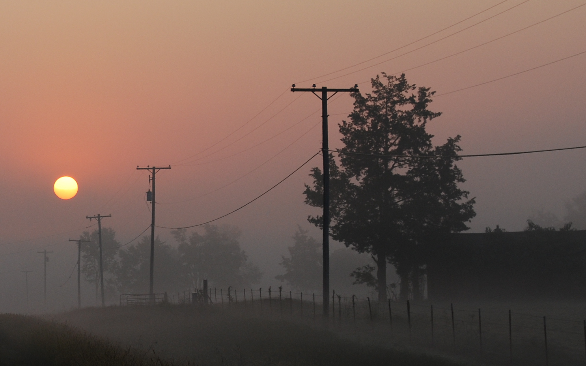
Foggy Morning
Goose Pond
Foggy Morning
Foggy Morning
Foggy Morning

Foggy Morning
Topographic Map of AR-9, Morrilton, AR, USA
Find elevation by address:

Places near AR-9, Morrilton, AR, USA:
Washington Township
AR-95, Morrilton, AR, USA
Conway County
AR-95, Hattieville, AR, USA
Eisenhower St, Morrilton, AR, USA
1 Robb Rd
Carruthers Hill Drive
8 Hill Creek Dr, Plumerville, AR, USA
Bryan Cir, Morrilton, AR, USA
Plumerville
Steele Township
E Main St, Plumerville, AR, USA
Mclaren Township
3 Hunt Club Rd
St. Vincent Township
36 Hunt Club Rd
Tucker Mountain Rd, Solgohachia, AR, USA
Howard Township
Hattieville
187 High Point Rd
Recent Searches:
- Elevation of 15th Ave SE, St. Petersburg, FL, USA
- Elevation of Beall Road, Beall Rd, Florida, USA
- Elevation of Leguwa, Nepal
- Elevation of County Rd, Enterprise, AL, USA
- Elevation of Kolchuginsky District, Vladimir Oblast, Russia
- Elevation of Shustino, Vladimir Oblast, Russia
- Elevation of Lampiasi St, Sarasota, FL, USA
- Elevation of Elwyn Dr, Roanoke Rapids, NC, USA
- Elevation of Congressional Dr, Stevensville, MD, USA
- Elevation of Bellview Rd, McLean, VA, USA