Elevation of Tucker Mountain Rd, Solgohachia, AR, USA
Location: United States > Arkansas > Conway County > Bird Township >
Longitude: -92.641003
Latitude: 35.299414
Elevation: 178m / 584feet
Barometric Pressure: 99KPa
Elevation Map:
Satellite Map:
Related Photos:
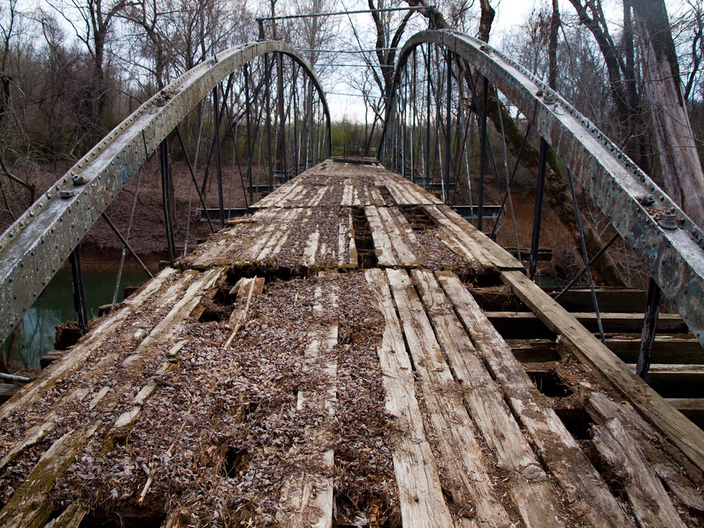
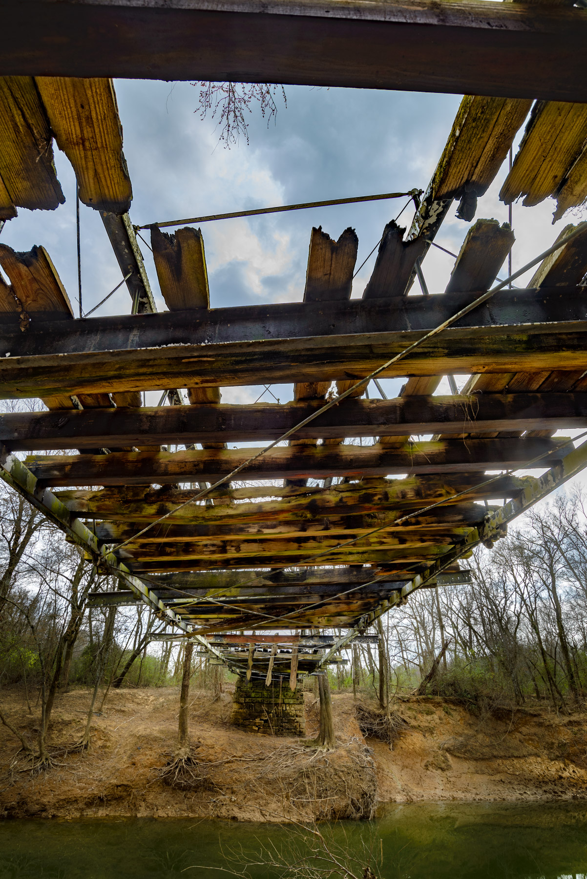
Springfield Bridge
Plumerville Rear View
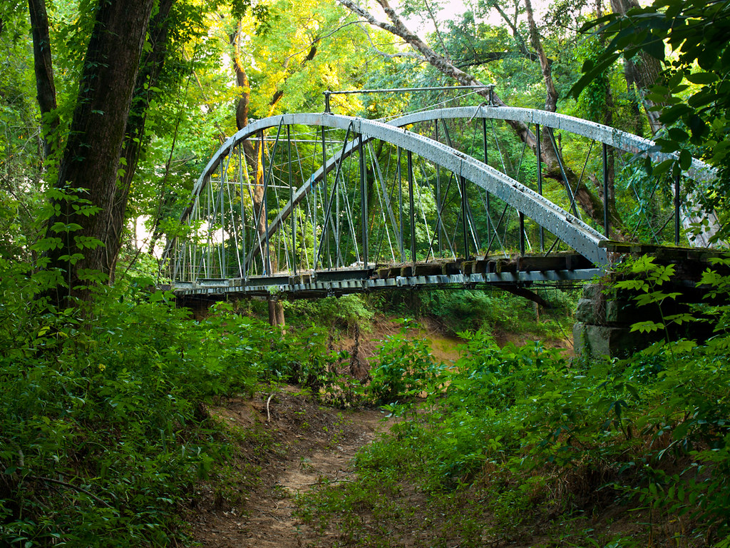
Springfield Bridge
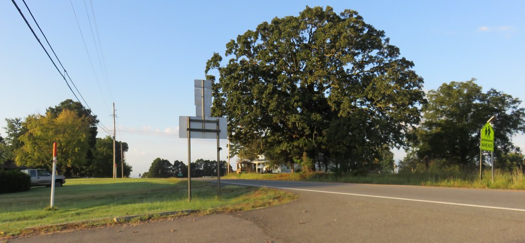
Center Ridge, Arkansas
Center Ridge, Arkansas

189/365
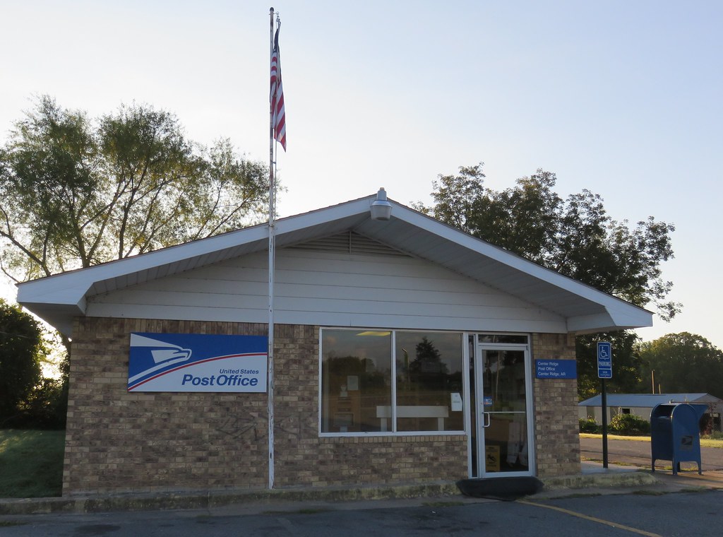
Post Office 72027 (Center Ridge, Arkansas)
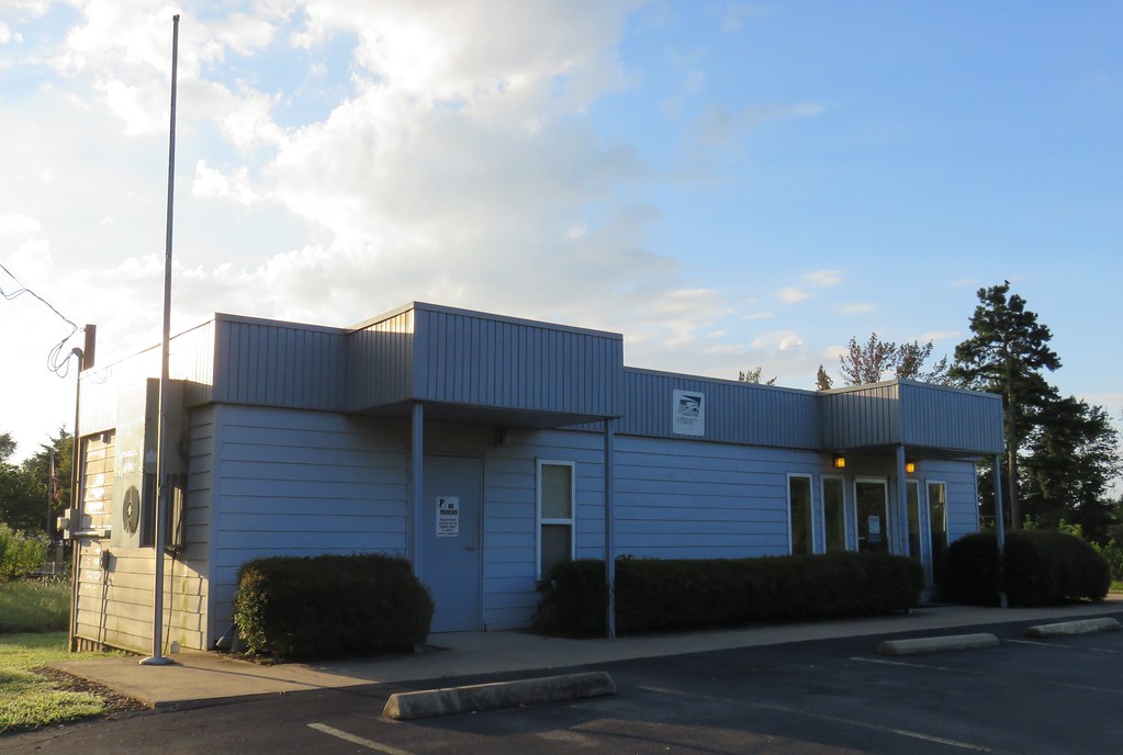
Post Office 72156 (Solgohachia, Arkansas)

My brother is a bad ass.

Lunch at 34,000 feet
unsafe passage
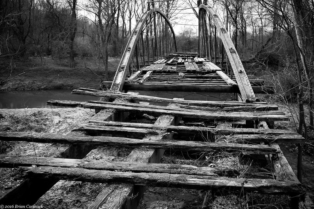
Springfield Bridge
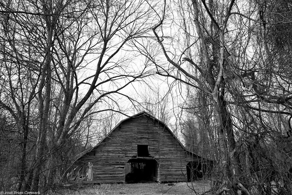
Where The Barns Have No Name
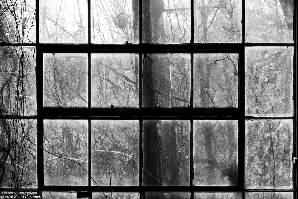
All That You Can't Leave Behind
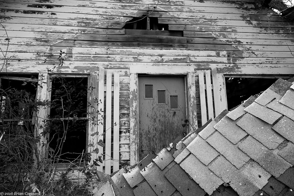
With Or Without You
#cedar #creek on #petitjean #mountain #statepark

16/364
Autumn's last gasp
Proactive communication.

2013-12-07 11.07.48

2013-12-23 06.16.00

2014-03-21 10.58.22

2014-03-23 08.28.25

2013-10-06 07.42.47
Topographic Map of Tucker Mountain Rd, Solgohachia, AR, USA
Find elevation by address:

Places near Tucker Mountain Rd, Solgohachia, AR, USA:
Mclaren Township
Bird Township
Birdtown
4554 Ar-9
1 Robb Rd
Conway County
2446 Ar-92
Steele Township
St. Vincent Township
Springfield
AR-9, Morrilton, AR, USA
Washington Township
8 Hill Creek Dr, Plumerville, AR, USA
AR-95, Hattieville, AR, USA
AR-95, Morrilton, AR, USA
Catholic Point Township
187 High Point Rd
64 Sutton Ln, Hattieville, AR, USA
3 Hunt Club Rd
36 Hunt Club Rd
Recent Searches:
- Elevation of 15th Ave SE, St. Petersburg, FL, USA
- Elevation of Beall Road, Beall Rd, Florida, USA
- Elevation of Leguwa, Nepal
- Elevation of County Rd, Enterprise, AL, USA
- Elevation of Kolchuginsky District, Vladimir Oblast, Russia
- Elevation of Shustino, Vladimir Oblast, Russia
- Elevation of Lampiasi St, Sarasota, FL, USA
- Elevation of Elwyn Dr, Roanoke Rapids, NC, USA
- Elevation of Congressional Dr, Stevensville, MD, USA
- Elevation of Bellview Rd, McLean, VA, USA