Elevation of Springfield, AR, USA
Location: United States > Arkansas > Conway County > Bird Township >
Longitude: -92.557659
Latitude: 35.2675809
Elevation: 118m / 387feet
Barometric Pressure: 100KPa
Elevation Map:
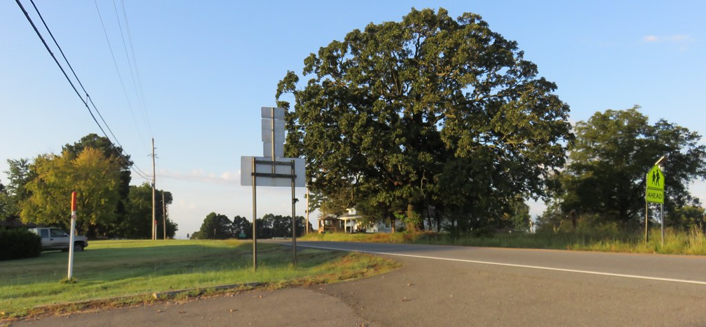
Satellite Map:
Related Photos:
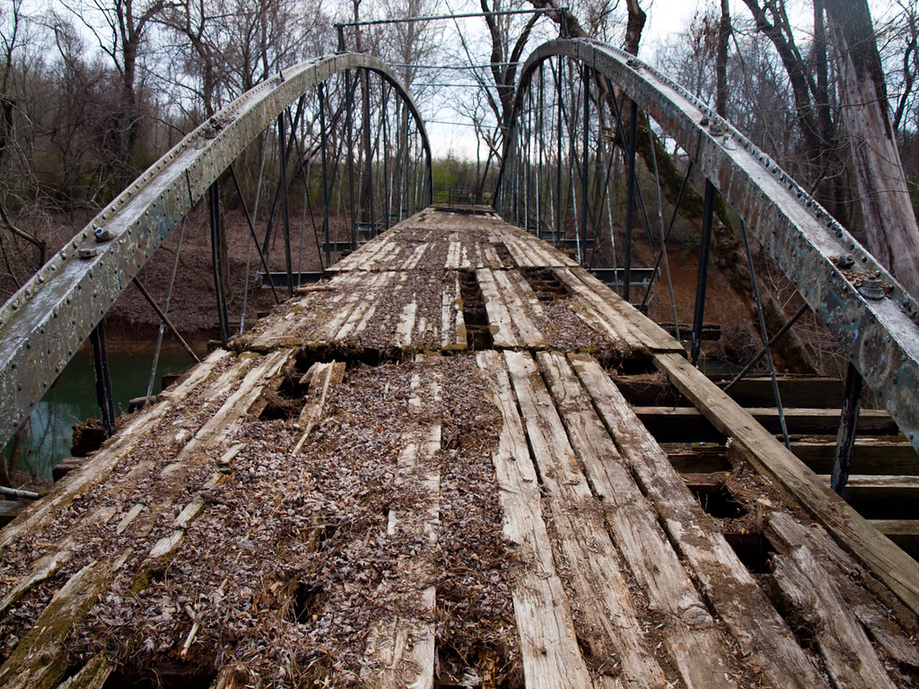
Springfield Bridge
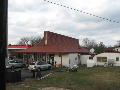
Plumerville Rear View
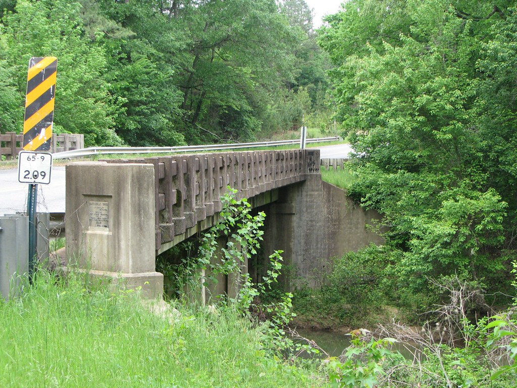
Batesville Creek-Side View

2013-10-13 at 08-29-44.jpg
Center Ridge, Arkansas
Center Ridge, Arkansas

Springfield Bridge

Foggy Morning

Foggy Morning

Foggy Morning

6/365

Foggy Morning

Foggy Morning
Topographic Map of Springfield, AR, USA
Find elevation by address:

Places near Springfield, AR, USA:
2446 Ar-92
4554 Ar-9
Birdtown
Bird Township
Catholic Point Township
Steele Township
1 Robb Rd
203 Burgess Ln
8 Hill Creek Dr, Plumerville, AR, USA
Tucker Mountain Rd, Solgohachia, AR, USA
Clifton Township
Howard Township
Mclaren Township
E Main St, Plumerville, AR, USA
Plumerville
AR-9, Morrilton, AR, USA
Conway County
Washington Township
St. Vincent Township
AR-95, Hattieville, AR, USA
Recent Searches:
- Elevation of Allon St, Oceanside, NY, USA
- Elevation of Carroll Creek Rd, Custer, SD, USA
- Elevation of Lust Road, Lust Rd, Florida, USA
- Elevation of Pleasant Valley Rd NW, Adairsville, GA, USA
- Elevation of Općina Šodolovci, Croatia
- Elevation of Šodolovci, Croatia
- Elevation of Old Clairton Rd, Jefferson Hills, PA, USA
- Elevation of st Ave SE, Lisbon, ND, USA
- Elevation of Steamboat Island Road Northwest, Olympia, WA, USA
- Elevation of Kootenai Trail Rd, Bonners Ferry, ID, USA