Elevation of A Studhorse Mountain Rd, Winthrop, WA, USA
Location: United States > Washington > Winthrop >
Longitude: -120.16657
Latitude: 48.4830429
Elevation: 715m / 2346feet
Barometric Pressure: 93KPa
Elevation Map:
Satellite Map:
Related Photos:
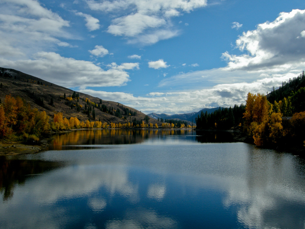
Pearrygin Lake

Sun Mountain Lodge
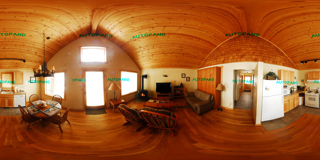
Cabin Loft

Winthrop Motors - Winthrop
Winthrop Motors - Winthrop
View from Grizzly Hut
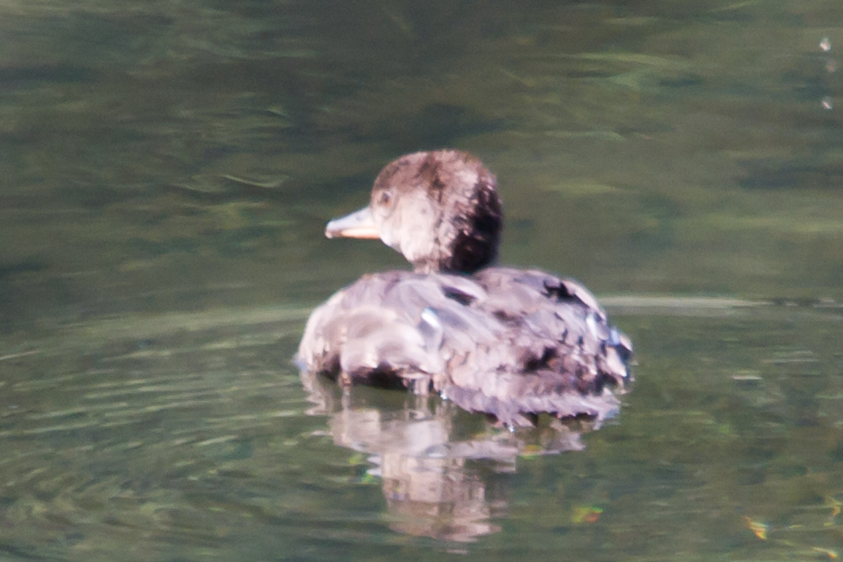
Unidentified duck - view 1

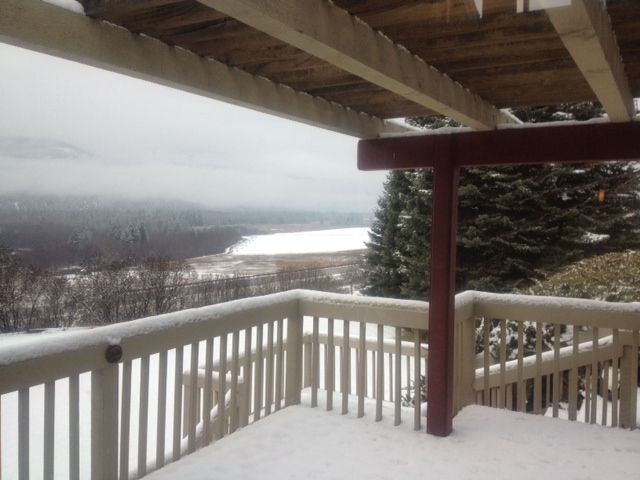
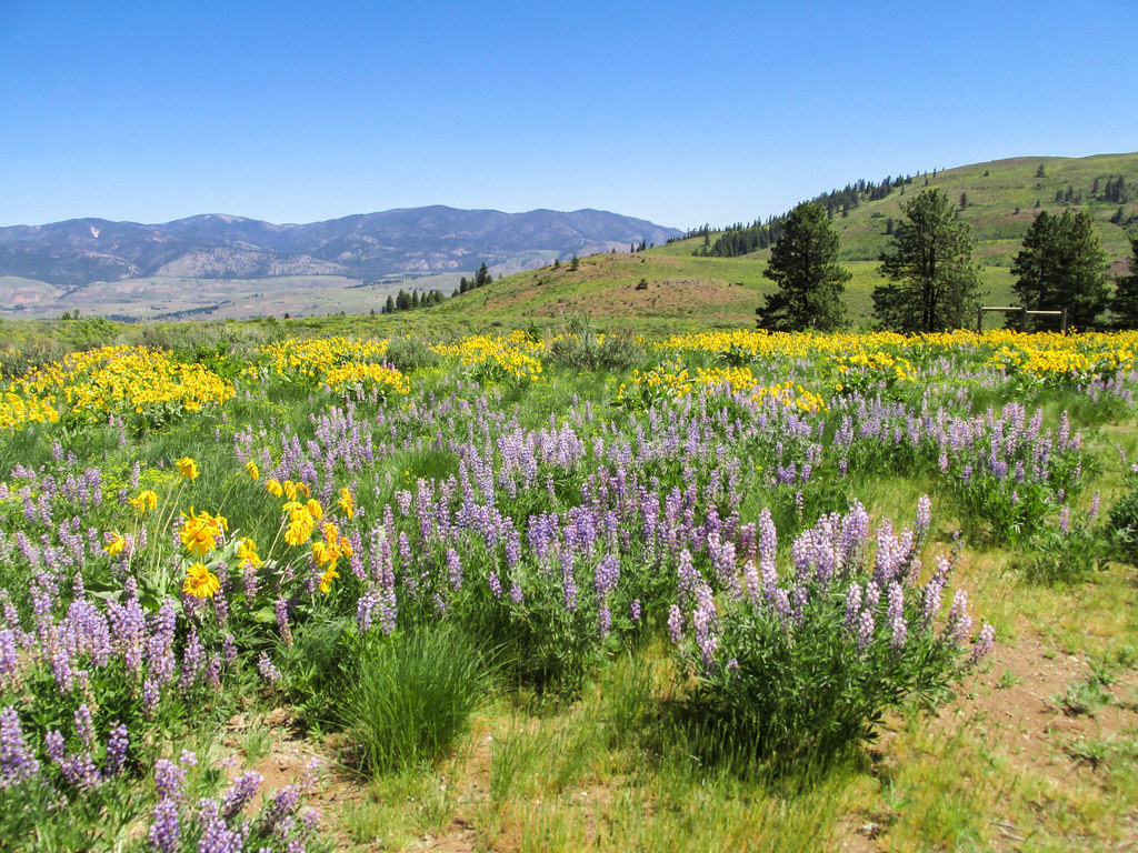
Winthrop View
Winthrop Cabin
View from Rendezvous Hut, bluer skies

View from Rendezvous Hut, closeup 2

take a load off...
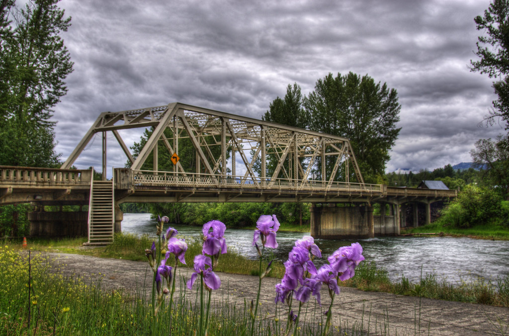
Methow River Bridge
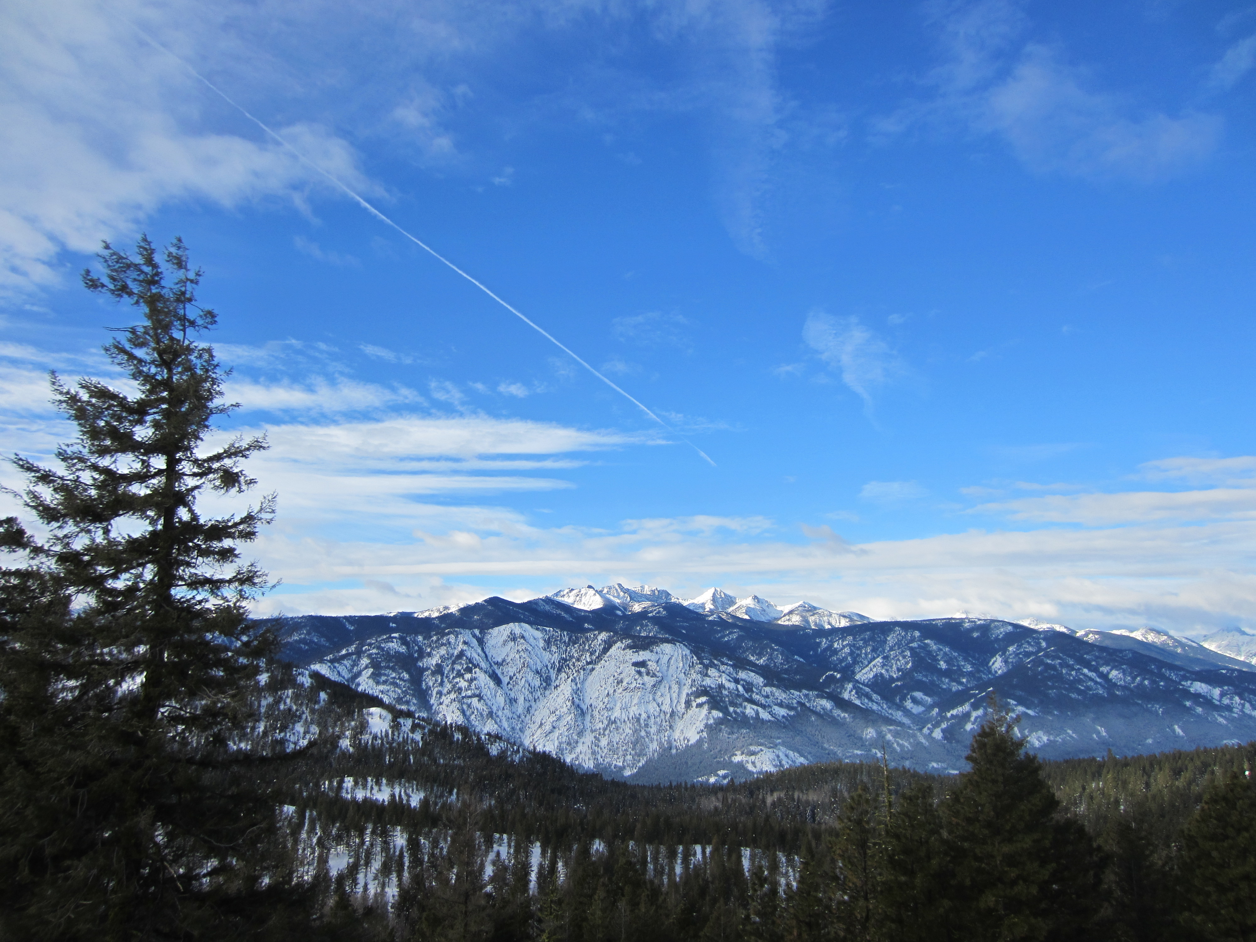
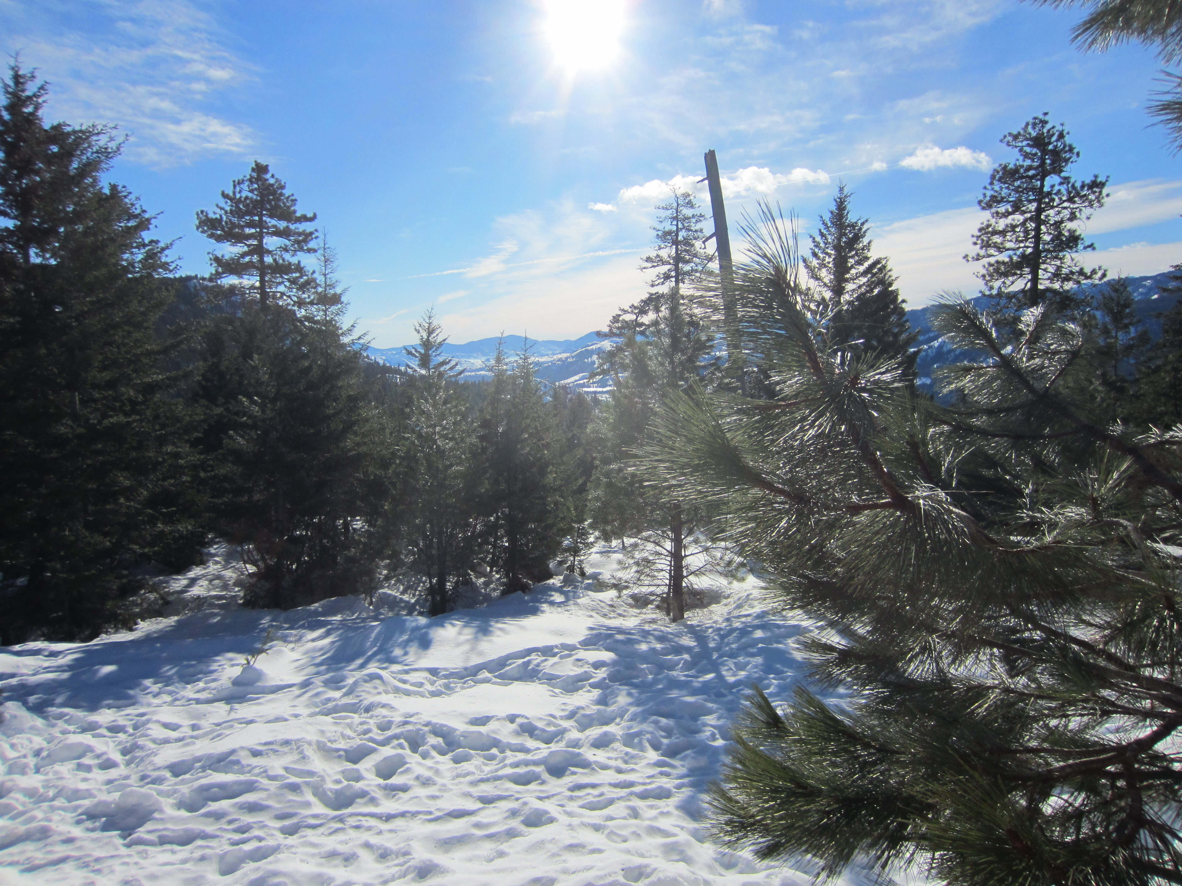
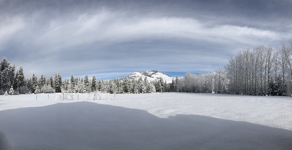
Snowy View

View from Rendezvous Hut, closeup
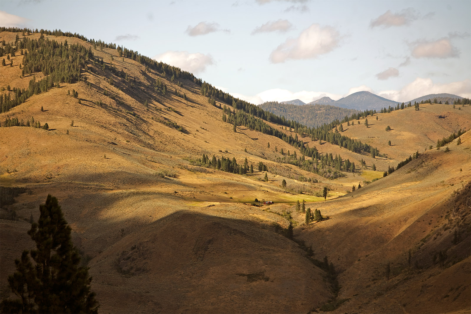
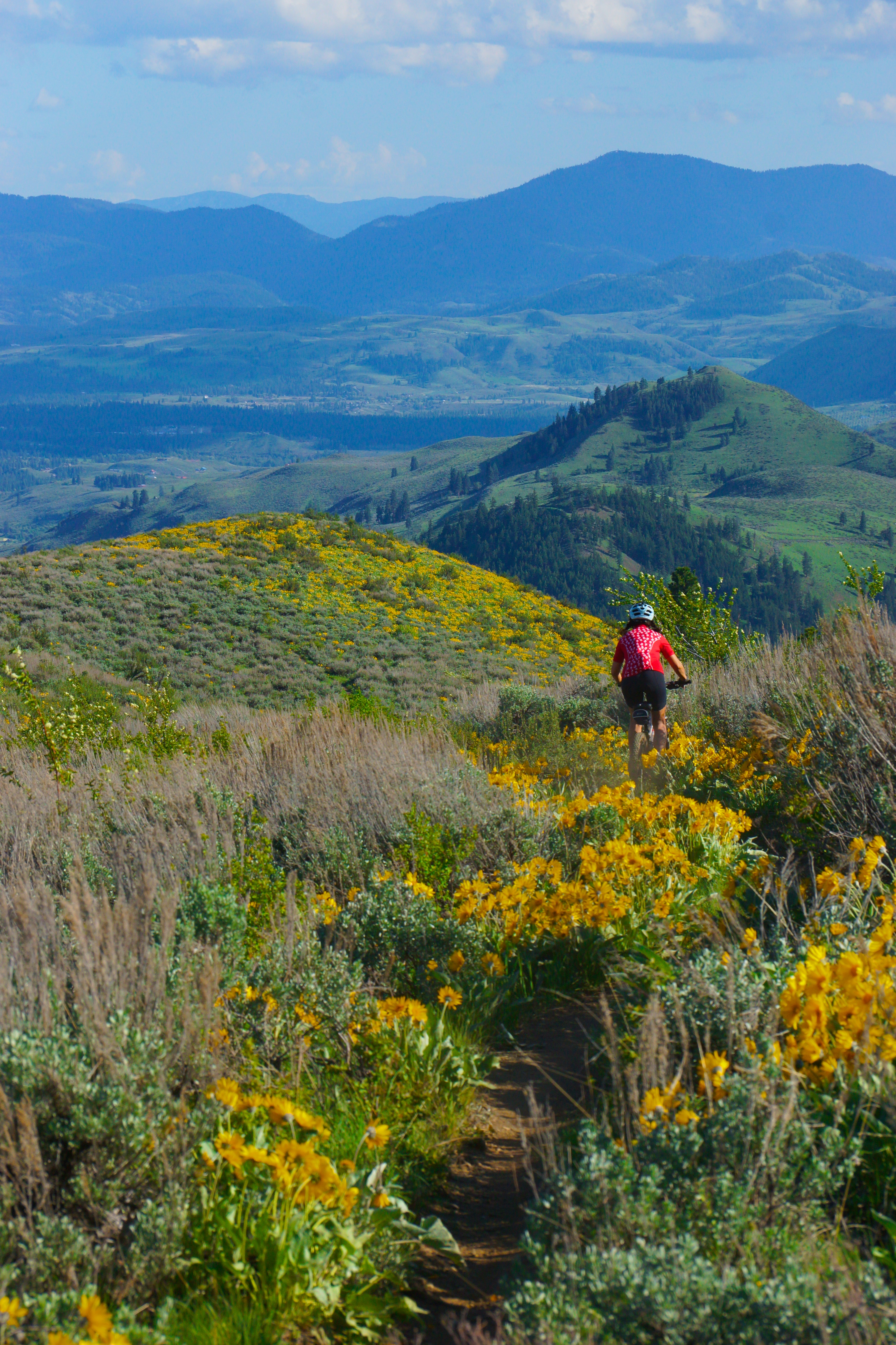
Methow Valley
View from Sun Mountain Lodge
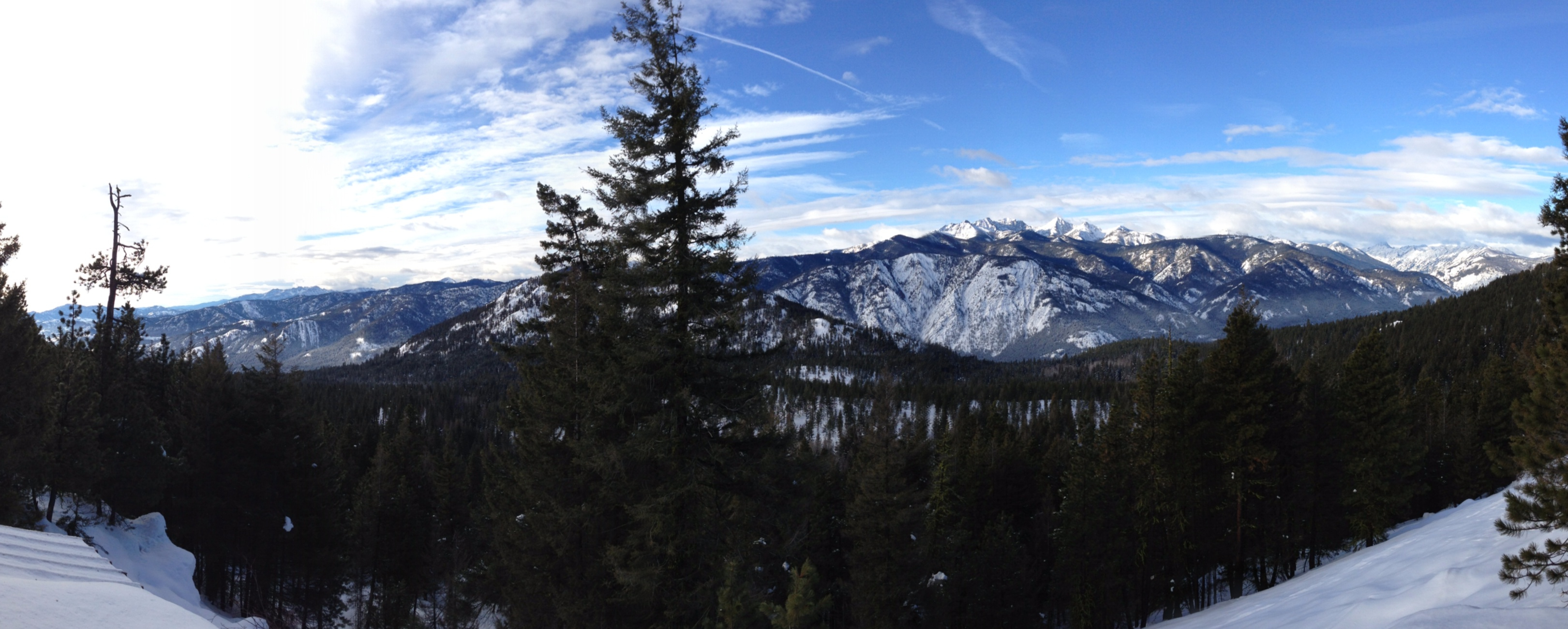
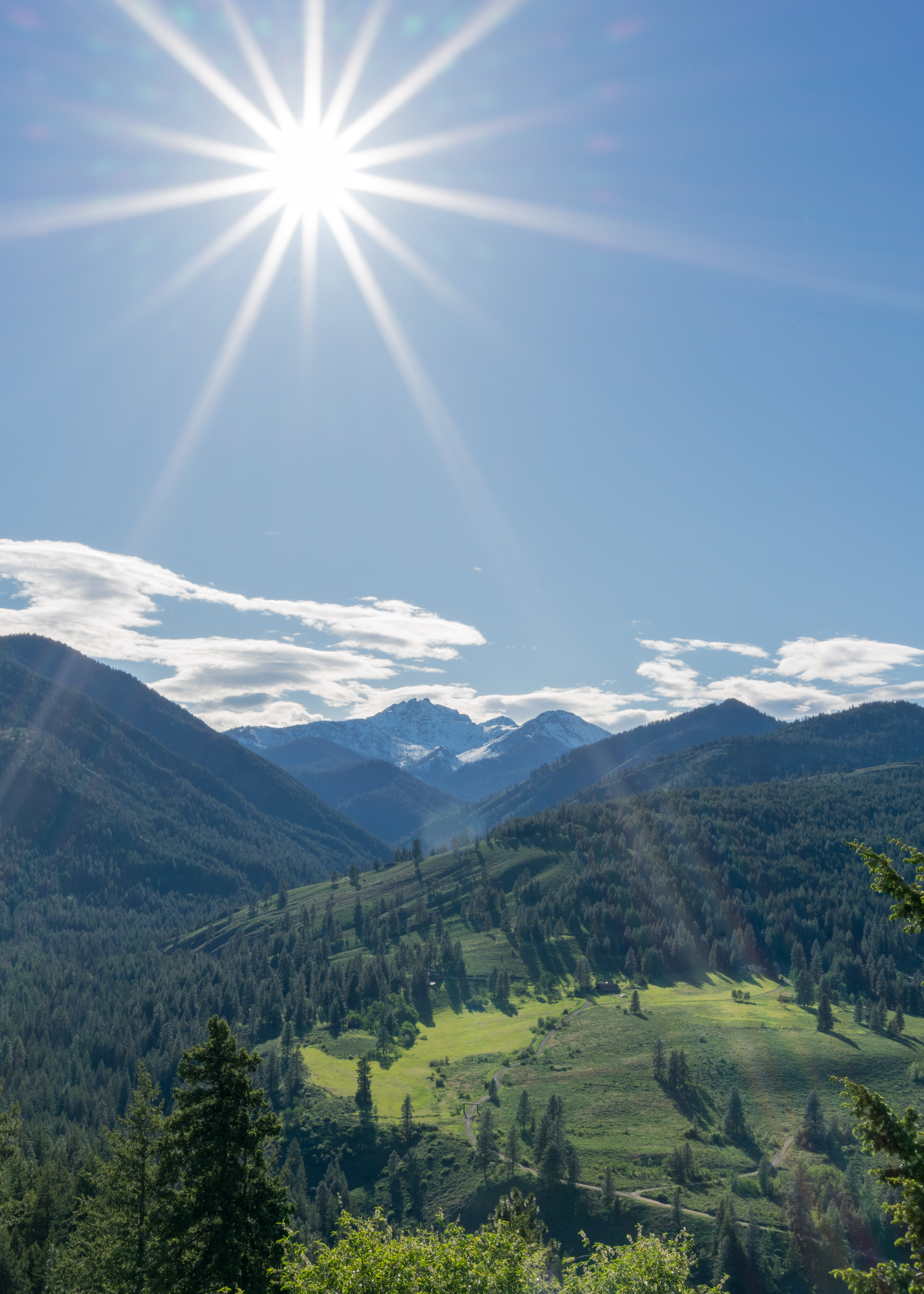
View from Rendezvous Hut
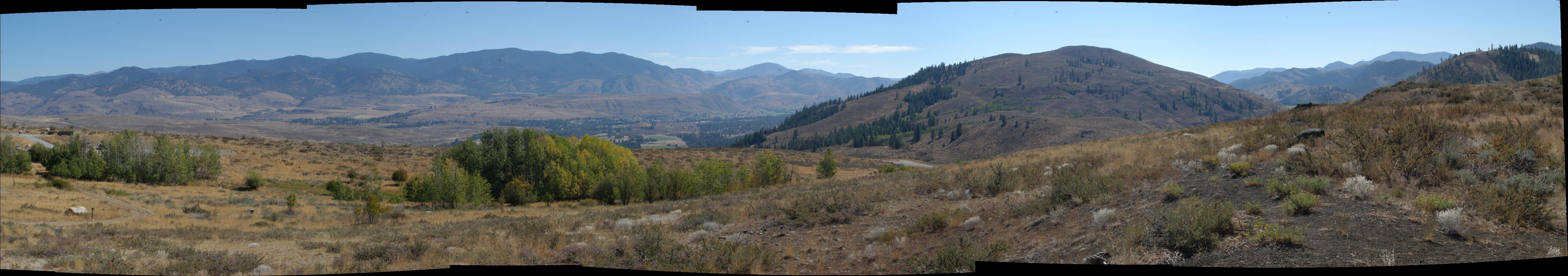
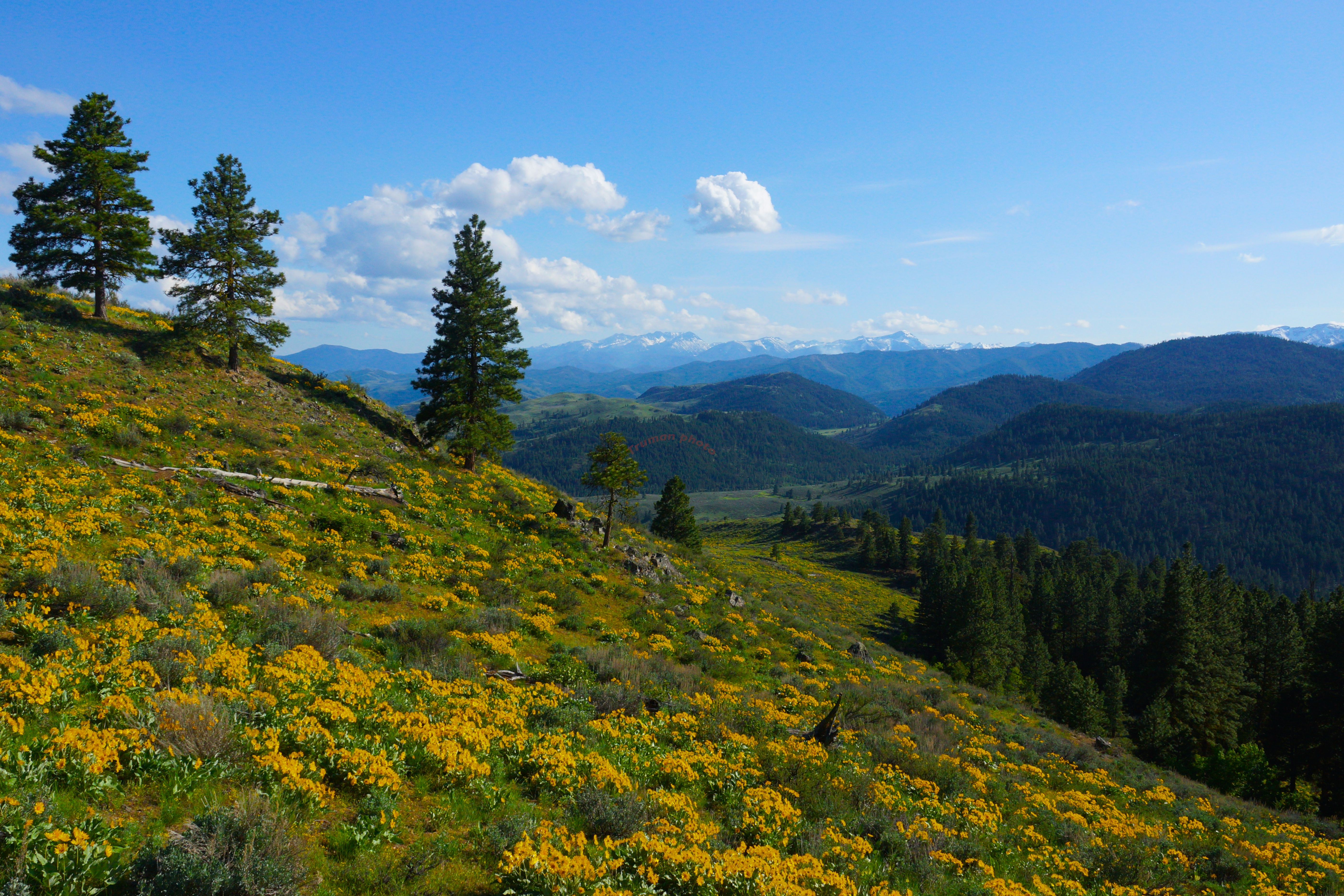
Methow Valley
View from Sun Mountain Lodge
View from Rendezvous Hut

moon and stars in the north cascades
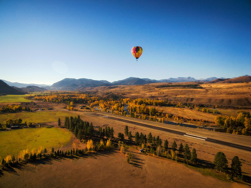
Hot Air Balloon Coming In For a Landing.
IMG_1962.jpg

Methow Valley
_DSC2600.jpg
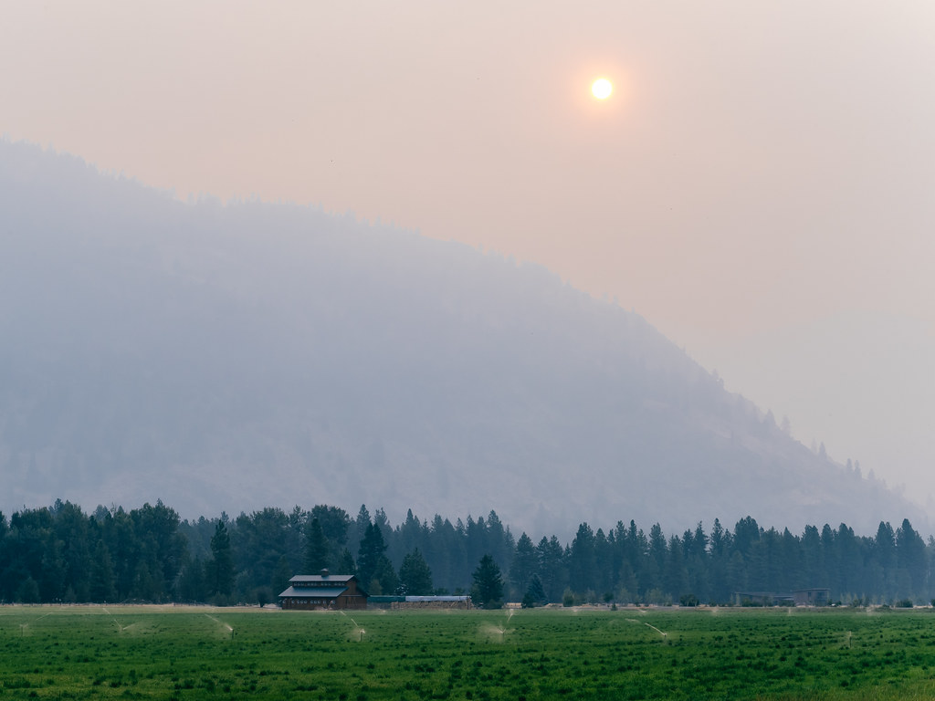
Smoky Sunrise

IMG_1606.jpg

Lake Perrygin, Washington, 2017
methow valley
Tree mountain snow sky mountainside landscape
Everybody Knows This Is Nowhere
Sunset over the Methow Valley
Sunset over the Methow Valley
methow valley 2014
Patterson Lake
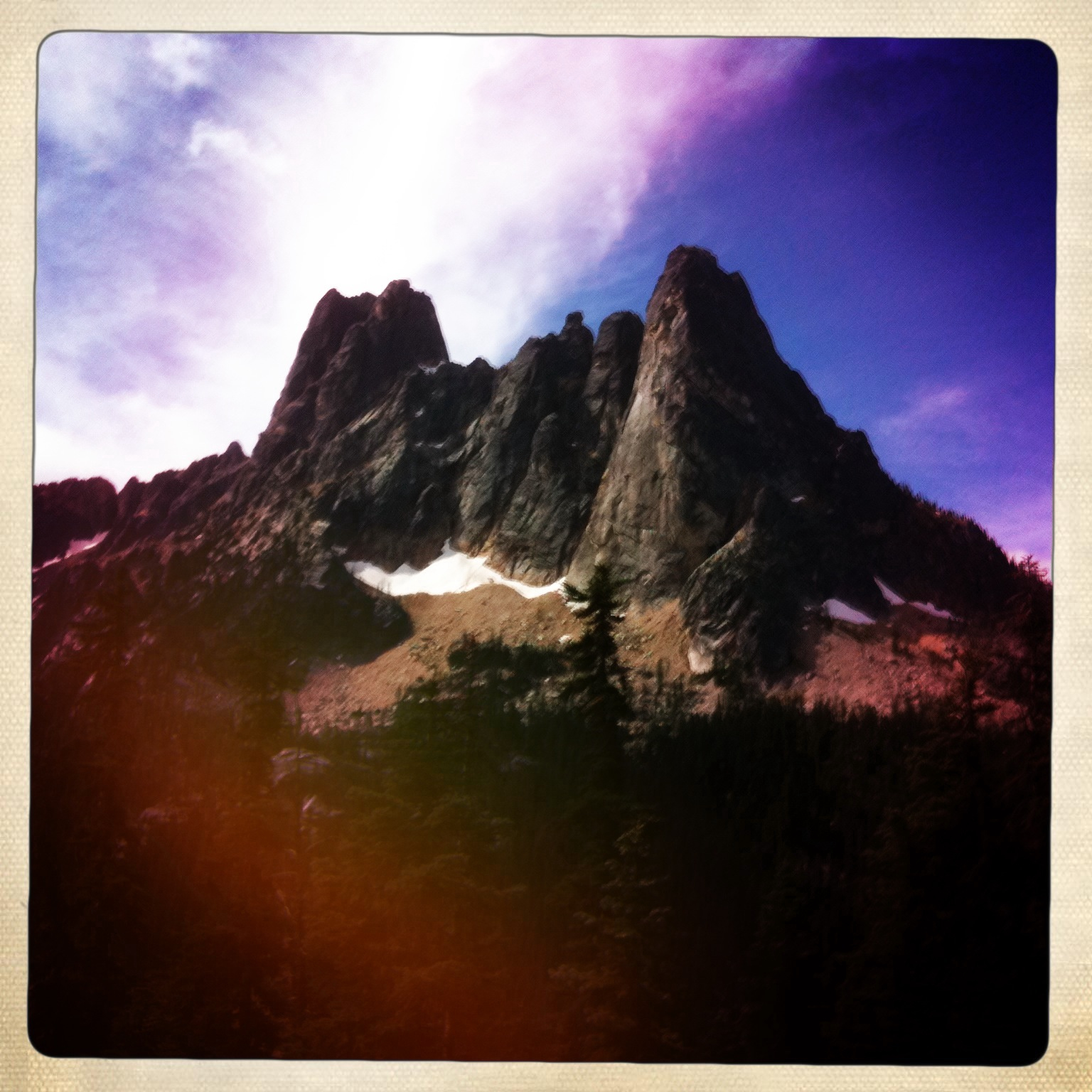
Washington Pass
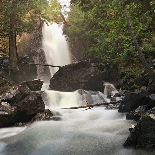
Average Camera Pro of Falls Creek, Okanogan National Forest, WA
Down On The Farm

Blue Steel took a picture!

Fall Mountain Sunrise
Topographic Map of A Studhorse Mountain Rd, Winthrop, WA, USA
Find elevation by address:

Places near A Studhorse Mountain Rd, Winthrop, WA, USA:
447 Wister Way
Winthrop
17 River Rock Rd
36 Appaloosa Rd
Sun Mountain Lodge
604 Patterson Lake Rd
95 Twisp River Rd
Twisp
Pipestone Canyon Ranch
302 Smith Canyon Rd
Twentymile Creek
Washington 20
Carlton
Carlton Rv Park
42 Old Carlton Rd
Mazama
221 Texas Creek Rd
Midnight Mountain
77 Stokes Rd
Goat Peak
Recent Searches:
- Elevation of N, Mt Pleasant, UT, USA
- Elevation of 6 Rue Jules Ferry, Beausoleil, France
- Elevation of Sattva Horizon, 4JC6+G9P, Vinayak Nagar, Kattigenahalli, Bengaluru, Karnataka, India
- Elevation of Great Brook Sports, Gold Star Hwy, Groton, CT, USA
- Elevation of 10 Mountain Laurels Dr, Nashua, NH, USA
- Elevation of 16 Gilboa Ln, Nashua, NH, USA
- Elevation of Laurel Rd, Townsend, TN, USA
- Elevation of 3 Nestling Wood Dr, Long Valley, NJ, USA
- Elevation of Ilungu, Tanzania
- Elevation of Yellow Springs Road, Yellow Springs Rd, Chester Springs, PA, USA