Elevation of Washington 20, WA-20, Washington, USA
Location: United States > Washington > Twisp >
Longitude: -119.96425
Latitude: 48.3710869
Elevation: 863m / 2831feet
Barometric Pressure: 91KPa
Elevation Map:
Satellite Map:
Related Photos:
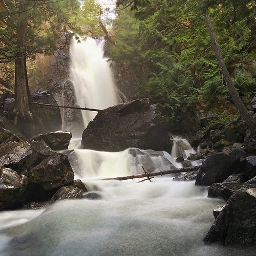
Into The Jaws
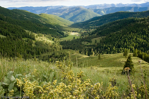
Methow Valley, WA
Arrived in Twisp after a gorgeous ride through the Cascades today! Not a bad view from the porch to sit with a glass of wine (or whisky)....
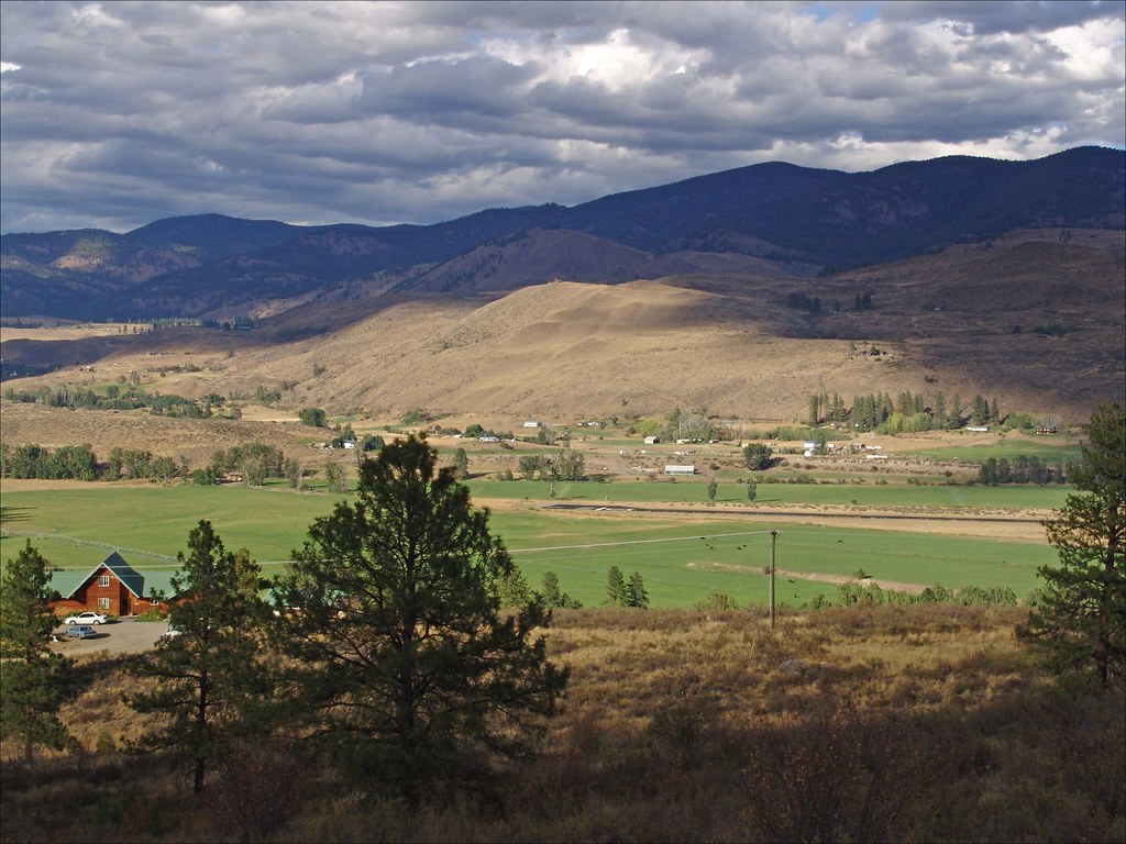
Methow Views Nov 16 10 HDR
Loup Loup Camp
View near "Snow Dogs" cache
Wide view of Skatitude
Full view of Skatitude
Long view
Close view of Critical Massive
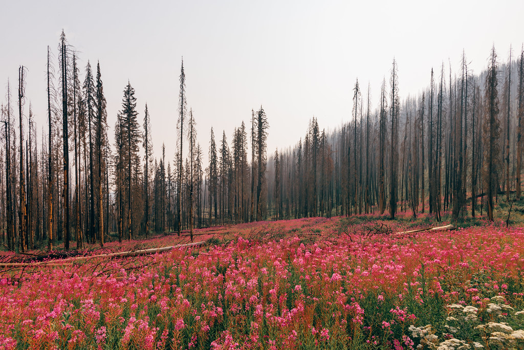
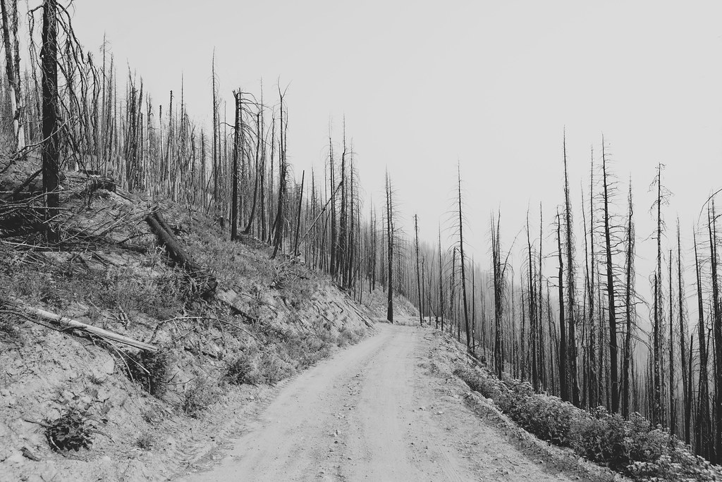
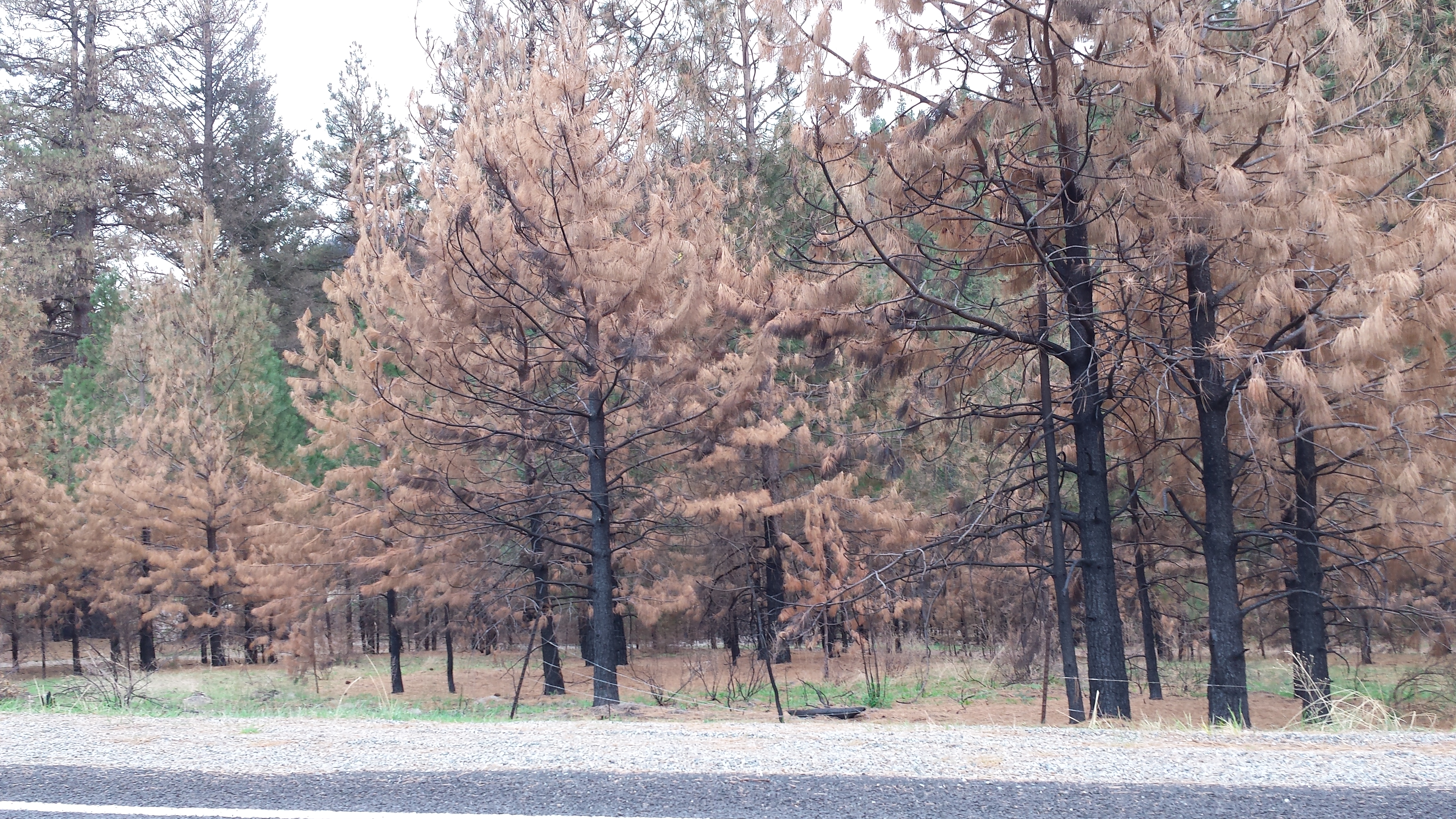
Life After Death
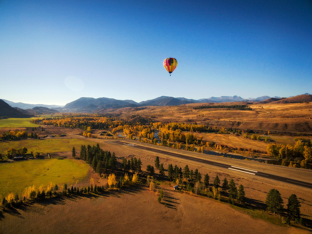
Hot Air Balloon Coming In For a Landing.
just like the ones I used to know
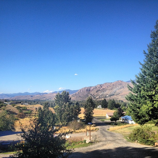
Road trippin' #washington
Everybody Knows This Is Nowhere
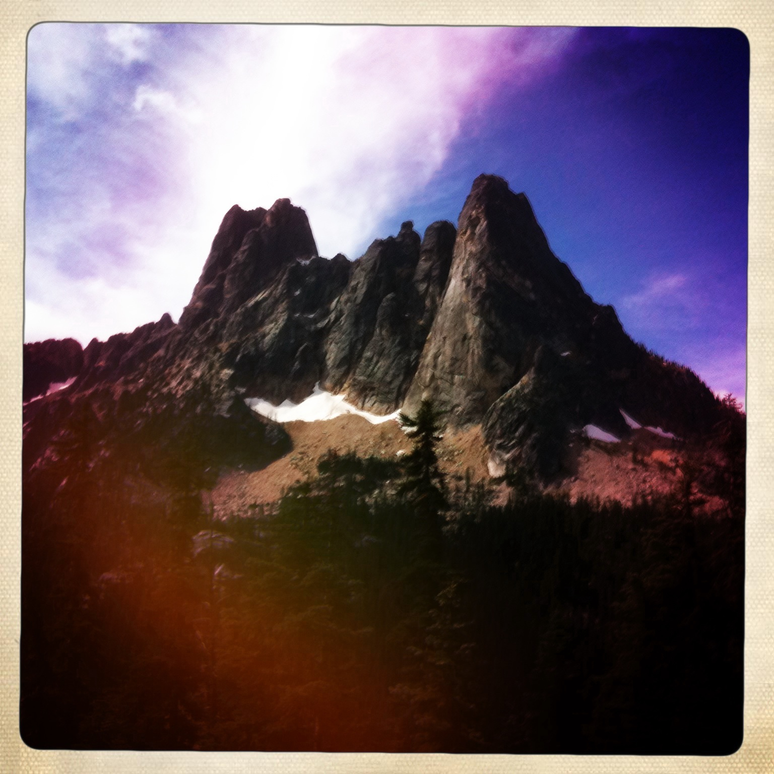
Washington Pass
Average Camera Pro of Falls Creek, Okanogan National Forest, WA
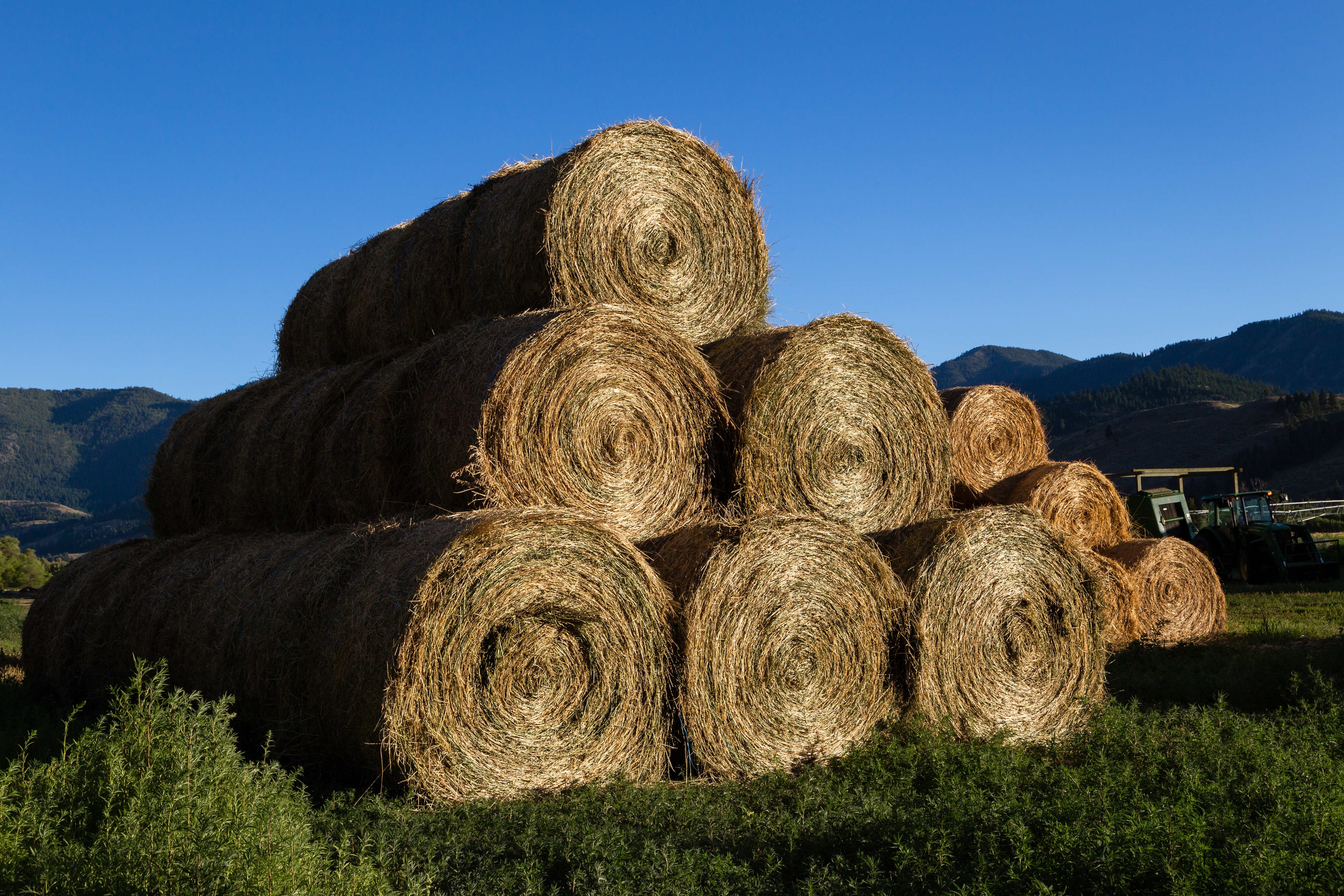
Golden Hay Bales
Walk This Way
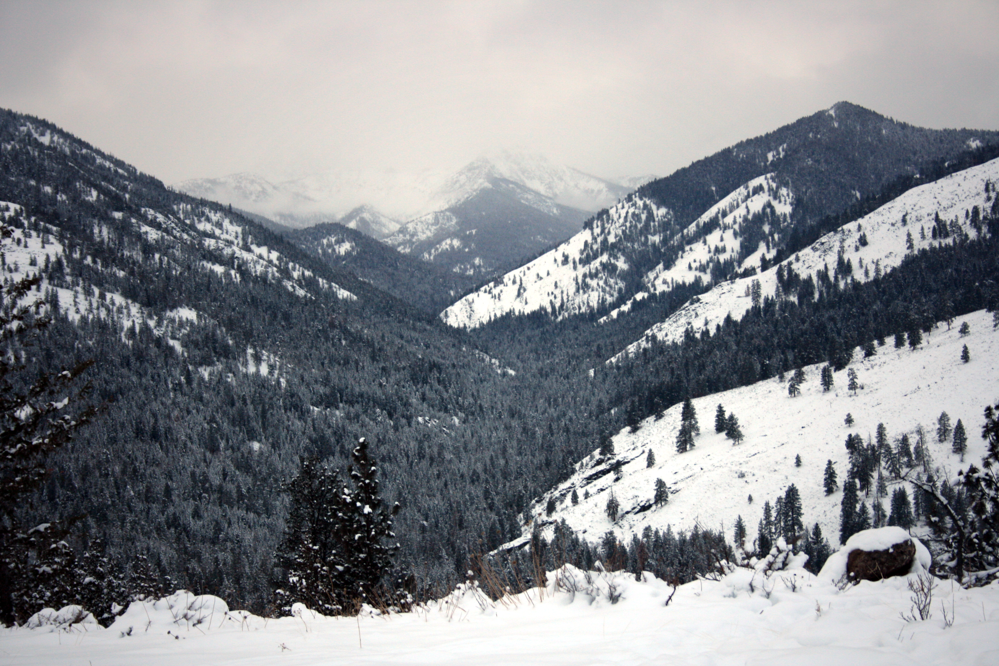
Northern Cascades
The loup....tears..

Biking in the Methow Valley, Washington.
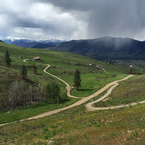
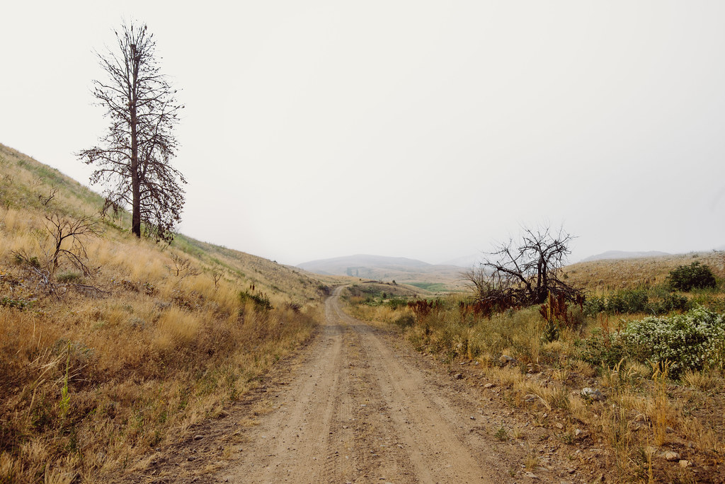
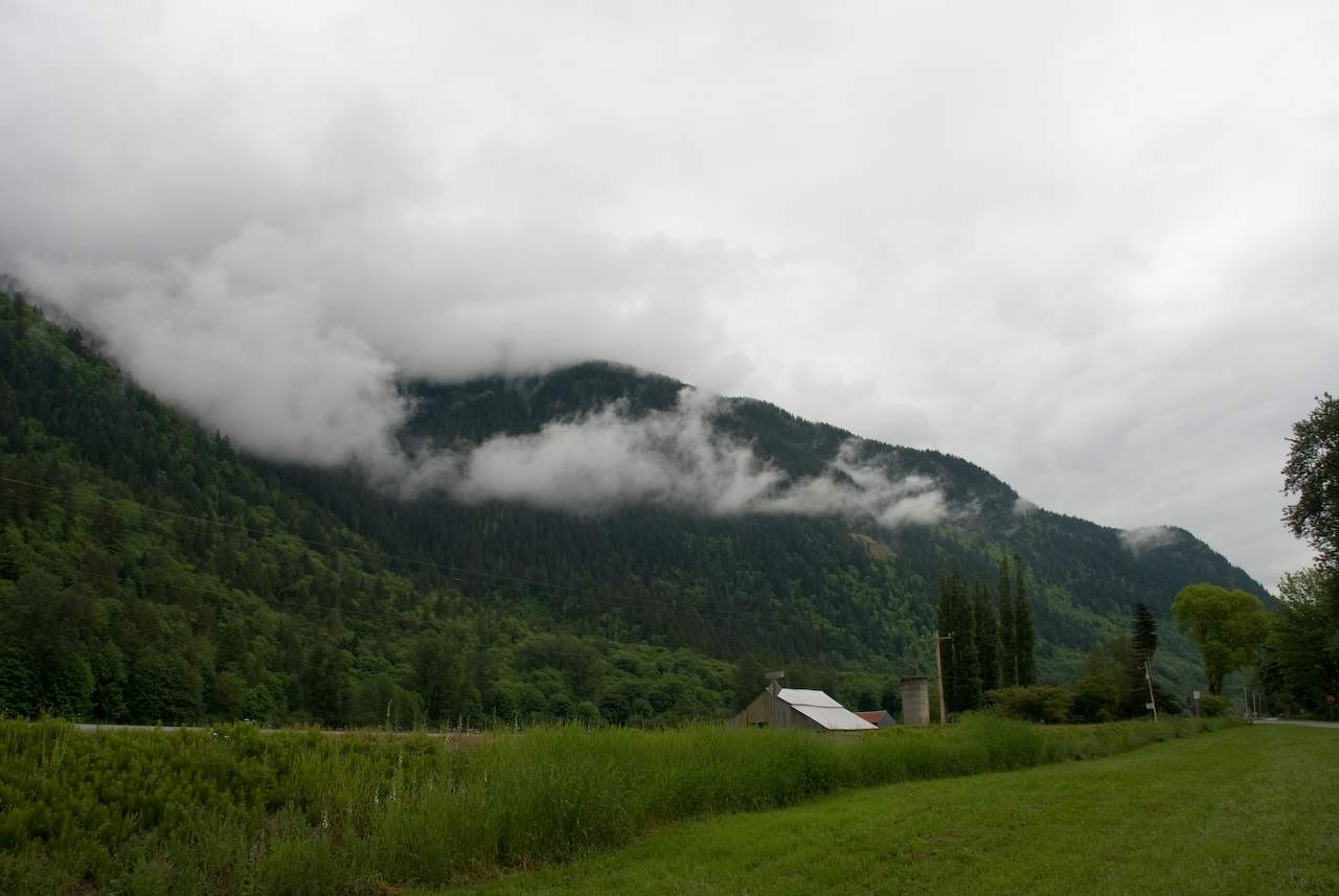
Dirt roads, a house and rain falling in the distance, the Methow Valley can be so dramatic sometimes.
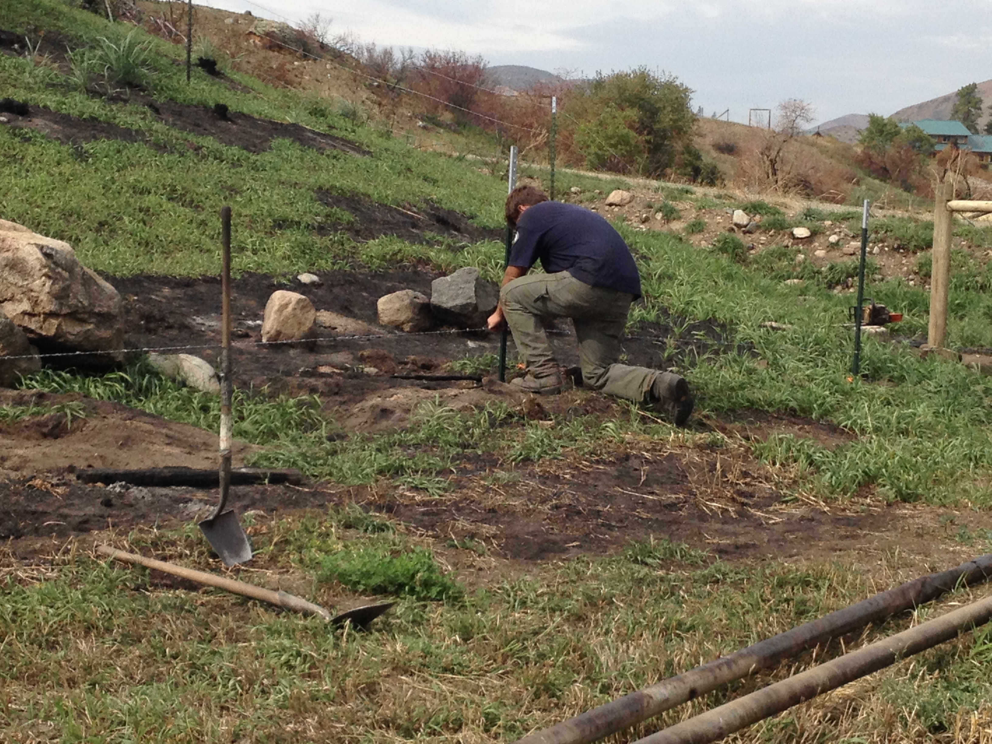
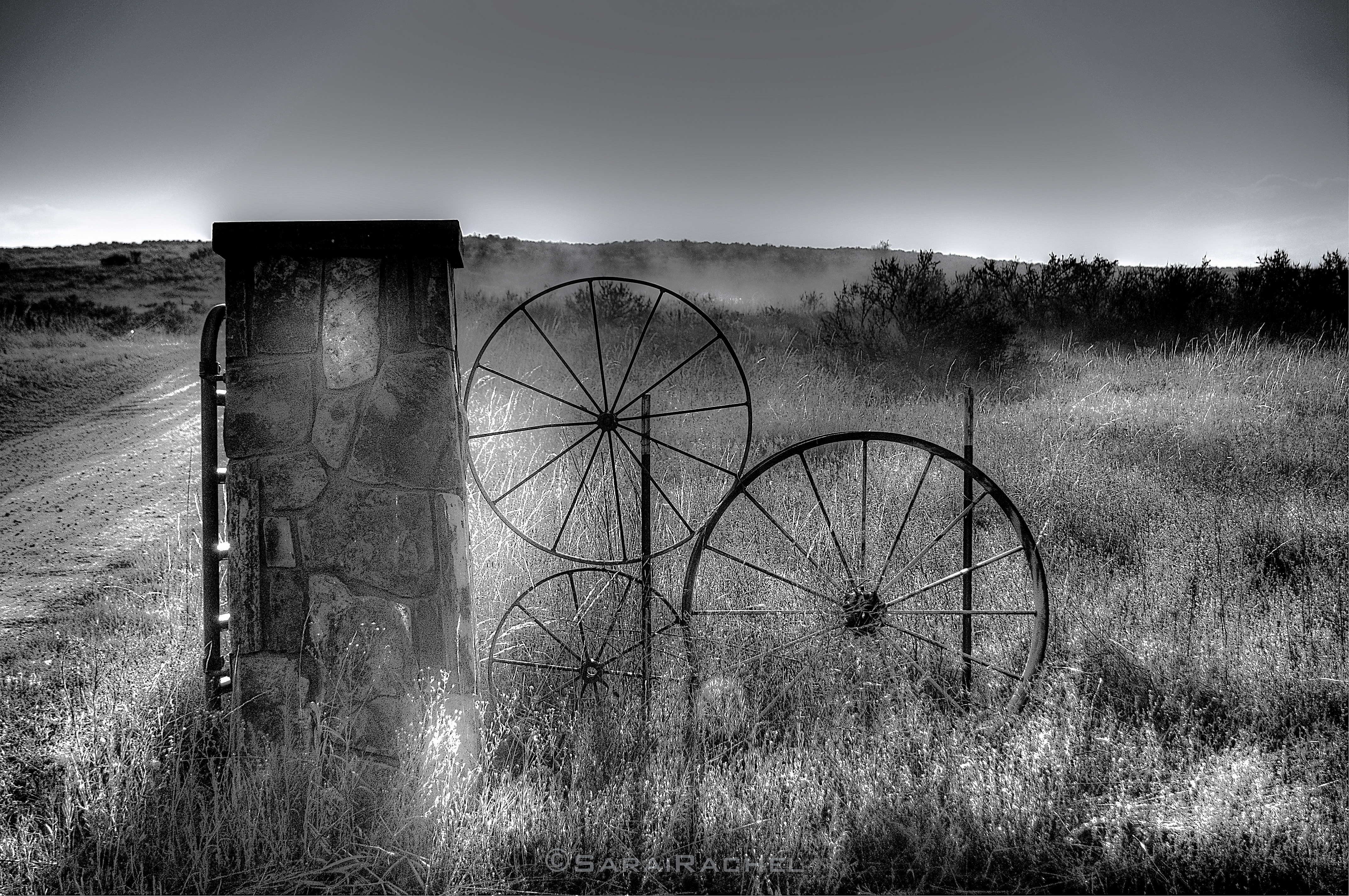
Fencing Bear Creek

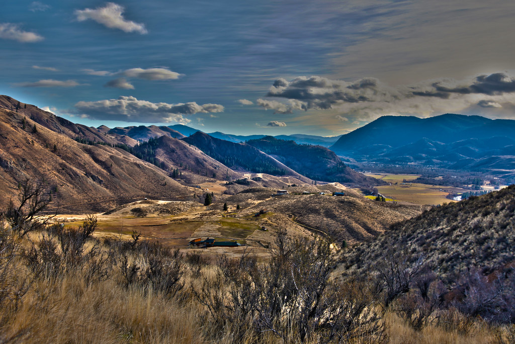
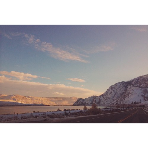
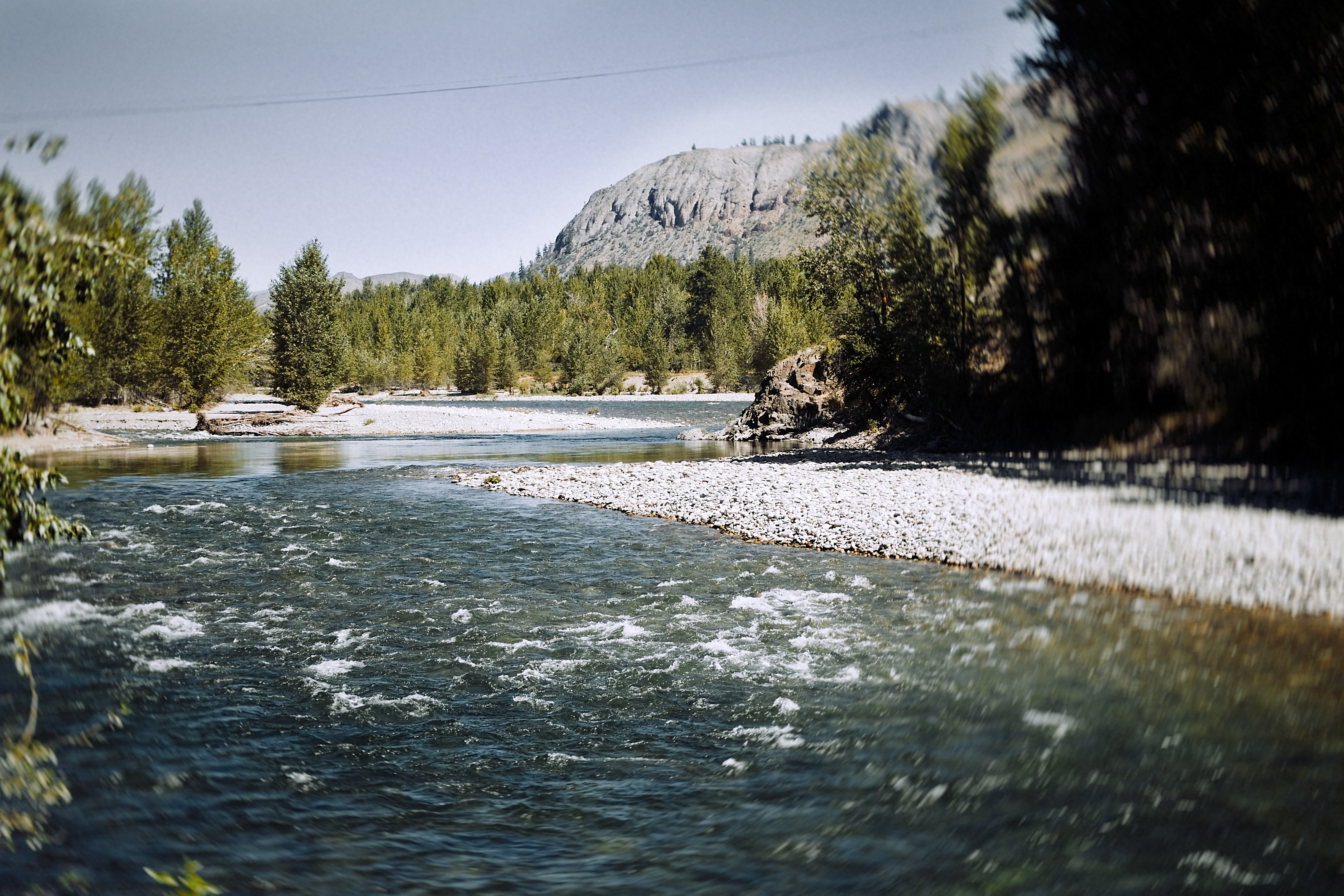
View from Route 20 east of Twisp
Twisp Trip0185
Topographic Map of Washington 20, WA-20, Washington, USA
Find elevation by address:

Places near Washington 20, WA-20, Washington, USA:
Pipestone Canyon Ranch
Twisp
630 Texas Creek Rd
221 Texas Creek Rd
54 Sanctuary Ln
696 Texas Creek Rd
95 Twisp River Rd
42 Old Carlton Rd
Carlton
Carlton Rv Park
219 Chiliwist Rd
219 Chiliwist Rd
302 Smith Canyon Rd
79 Alpine Ln
77 Stokes Rd
131a Studhorse Mountain Rd
French Creek Road
447 Wister Way
Methow
36 Appaloosa Rd
Recent Searches:
- Elevation of Elwyn Dr, Roanoke Rapids, NC, USA
- Elevation of Congressional Dr, Stevensville, MD, USA
- Elevation of Bellview Rd, McLean, VA, USA
- Elevation of Stage Island Rd, Chatham, MA, USA
- Elevation of Shibuya Scramble Crossing, 21 Udagawacho, Shibuya City, Tokyo -, Japan
- Elevation of Jadagoniai, Kaunas District Municipality, Lithuania
- Elevation of Pagonija rock, Kranto 7-oji g. 8"N, Kaunas, Lithuania
- Elevation of Co Rd 87, Jamestown, CO, USA
- Elevation of Tenjo, Cundinamarca, Colombia
- Elevation of Côte-des-Neiges, Montreal, QC H4A 3J6, Canada