Elevation of Chiliwist Rd, Washington, USA
Location: United States > Washington > Okanogan County > Brewster >
Longitude: -119.79148
Latitude: 48.2784088
Elevation: 570m / 1870feet
Barometric Pressure: 95KPa
Elevation Map:
Satellite Map:
Related Photos:
haulin' ass
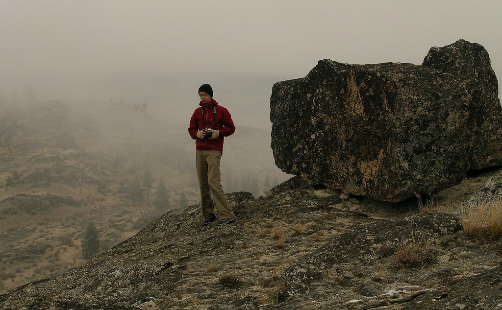
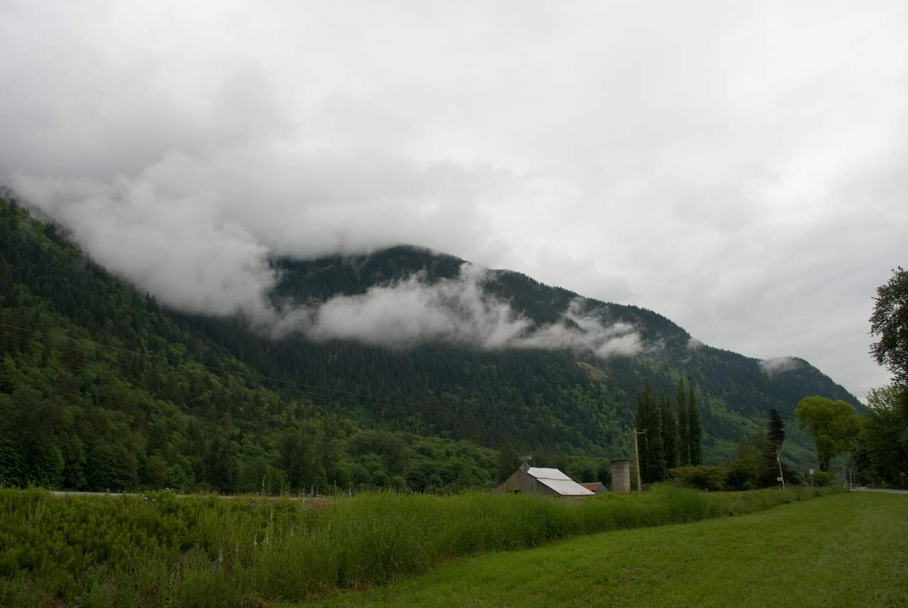
tree-foggy-landscape towards town
Calliope Hummingbird
Loup Loup Camp
View near "Snow Dogs" cache
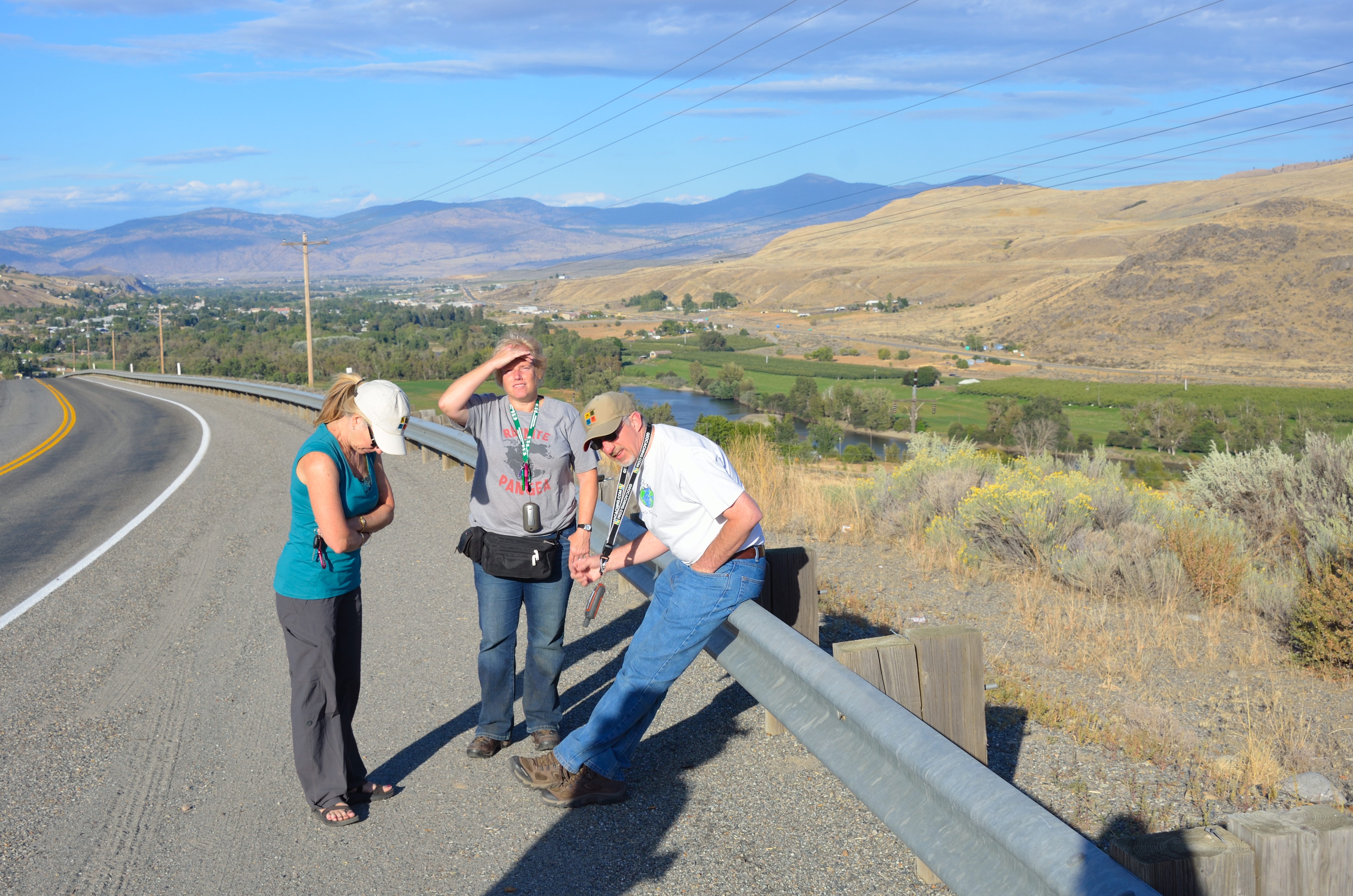
Lynn, Cathy and Phil near "B & O View"
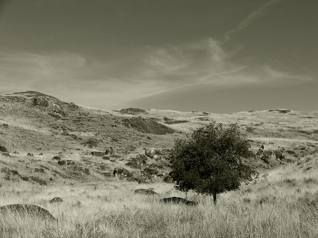
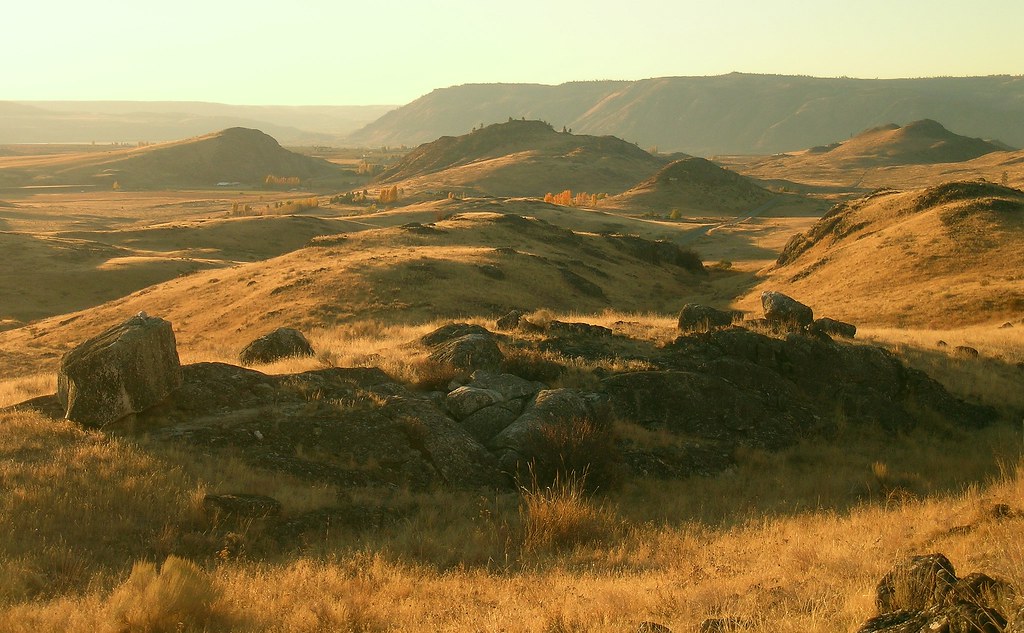
rock valley bw
brewster self portrait
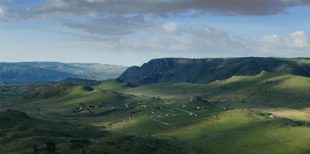
north star road panorama-color
fall morning
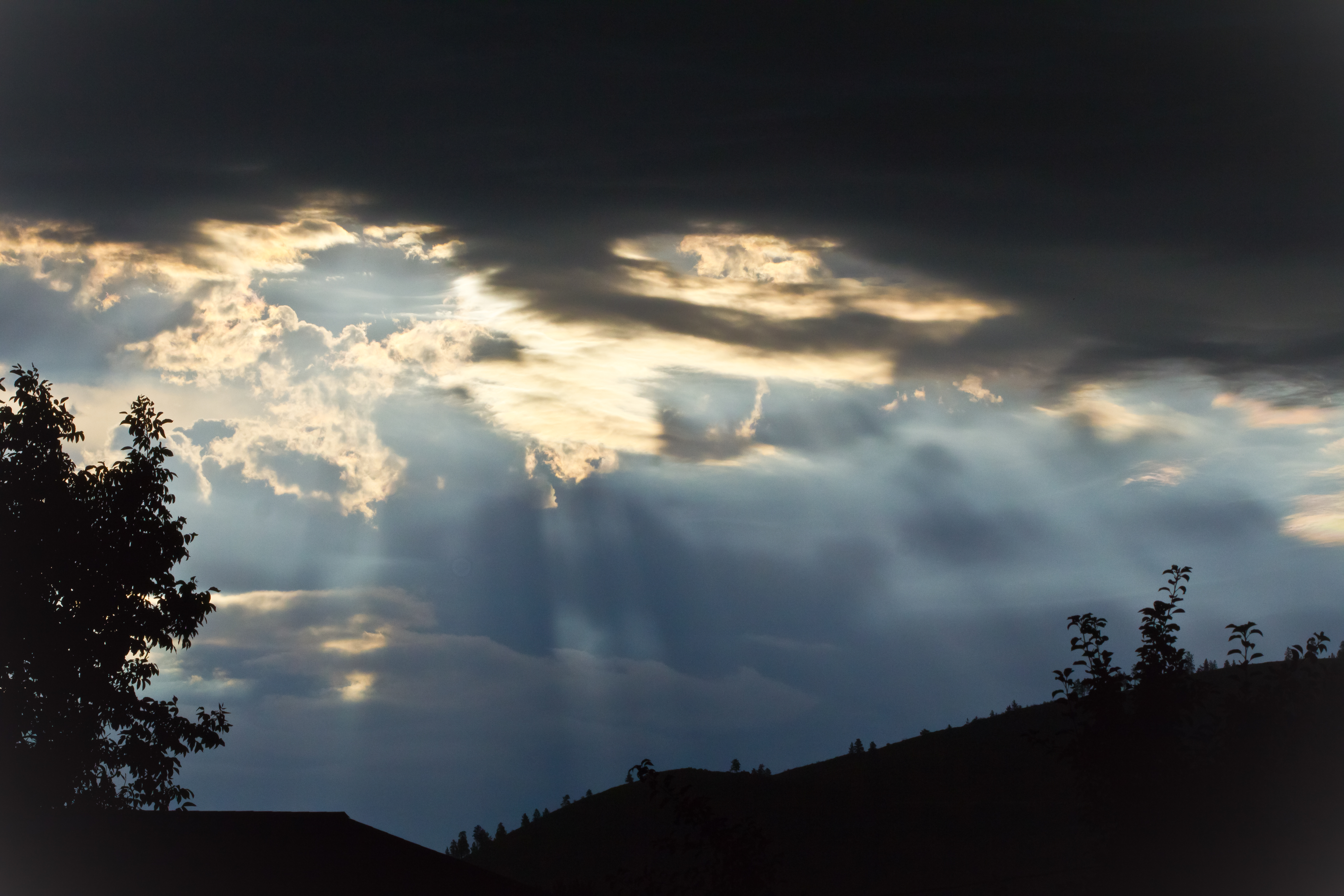
A Stormy Day
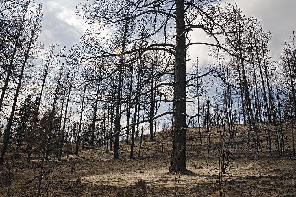
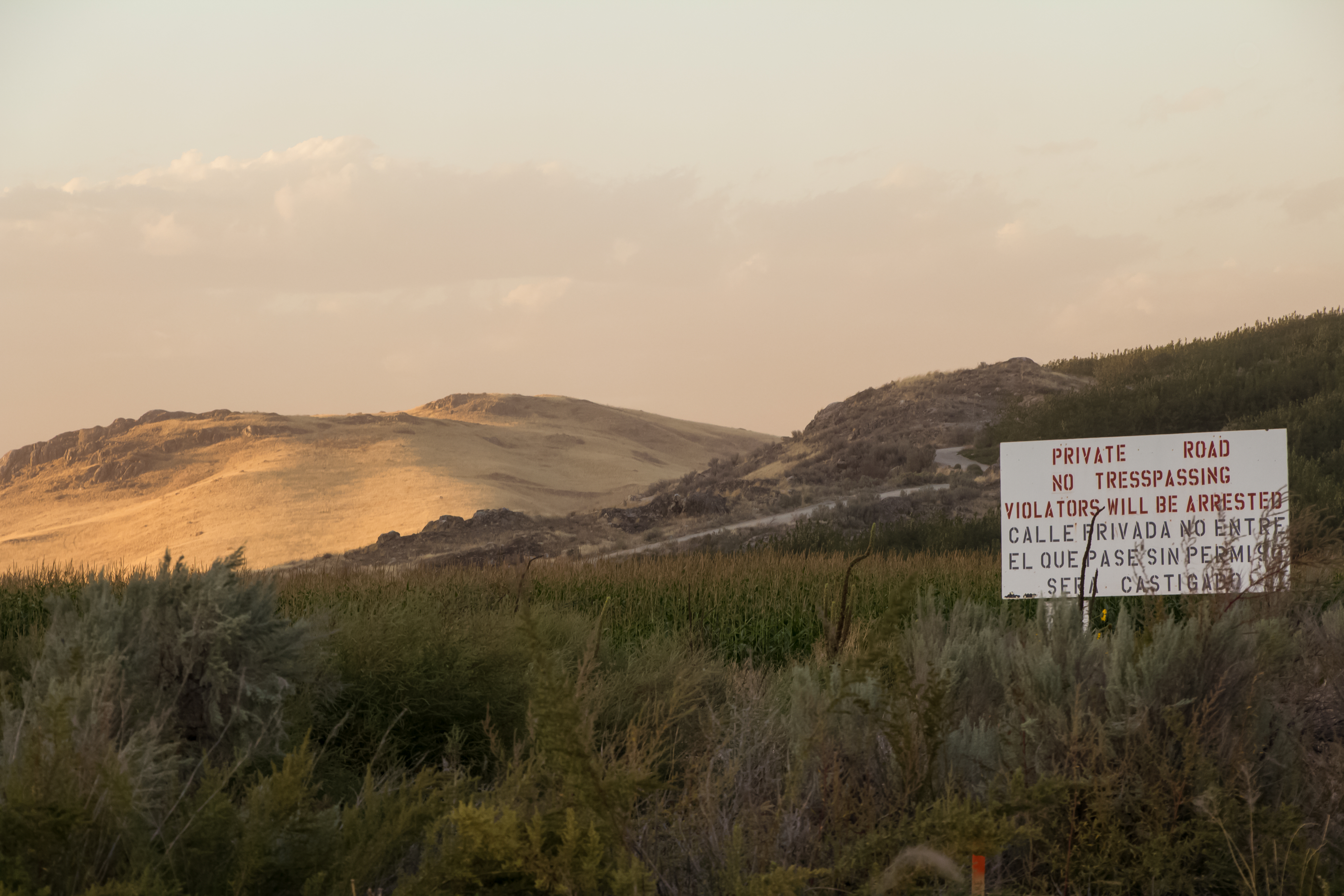
Oden Road fire damage

ray's place

the new road to Starzman Lake
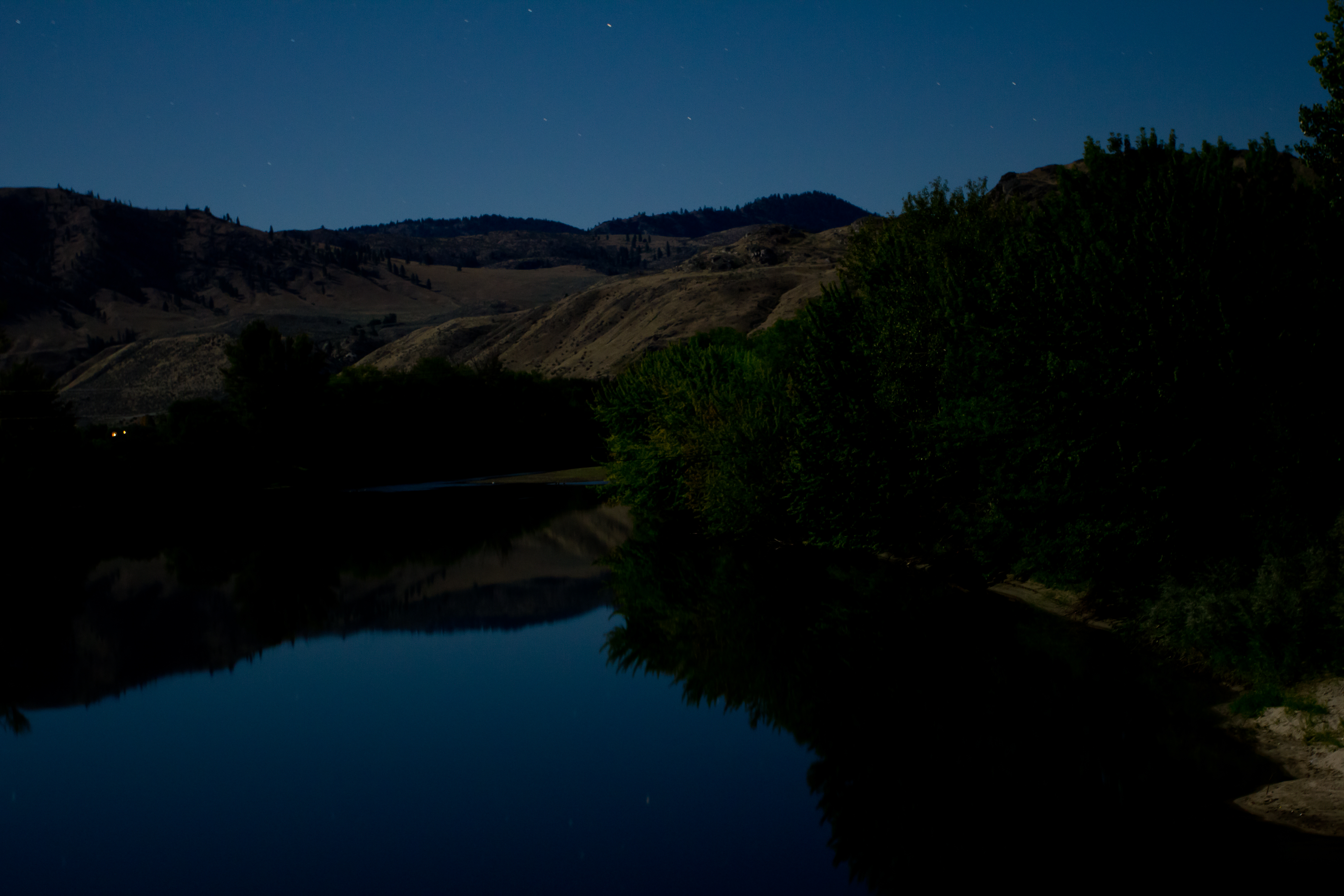
Playing under a Blue Moon
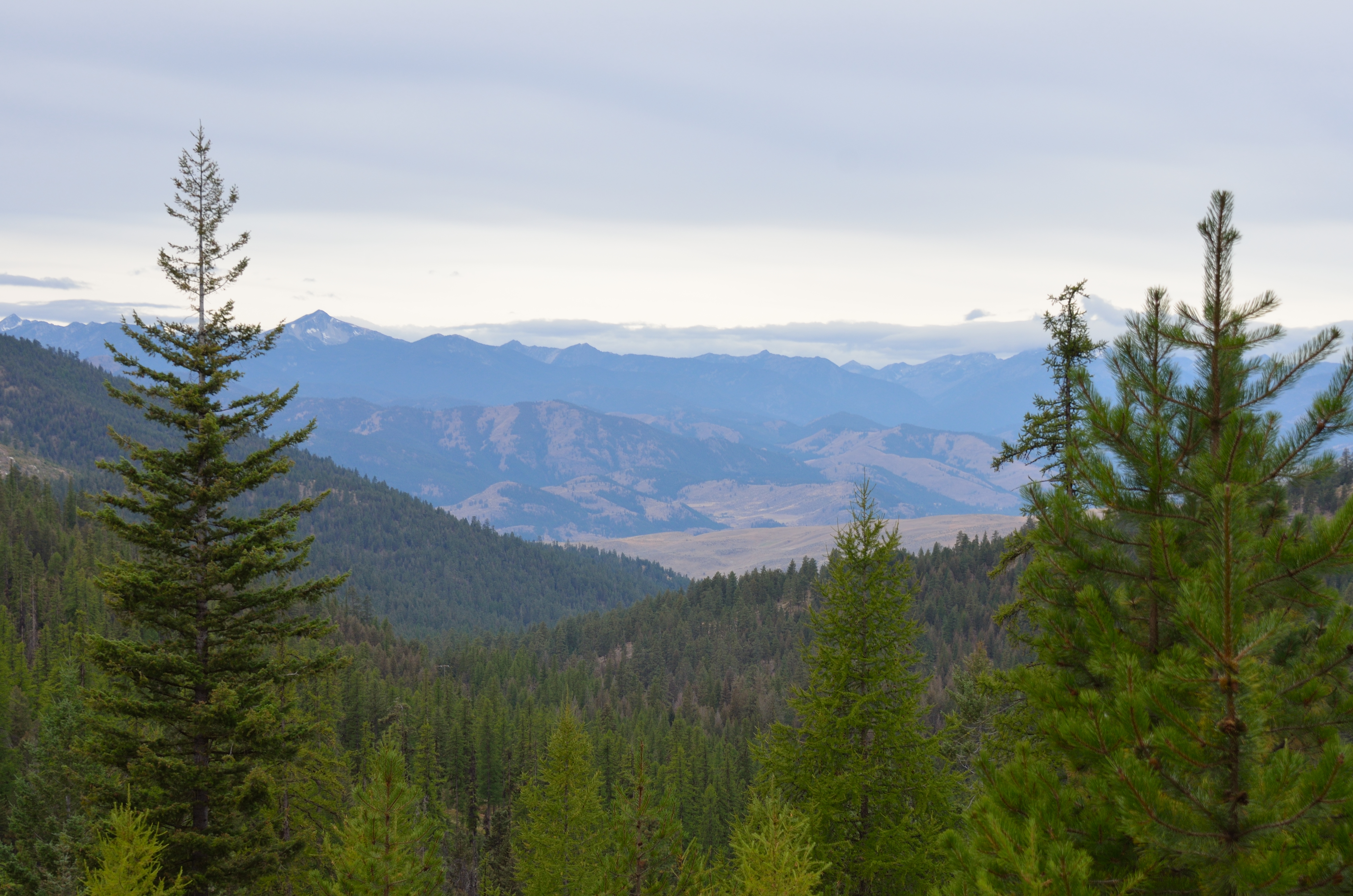
Northern Cascades
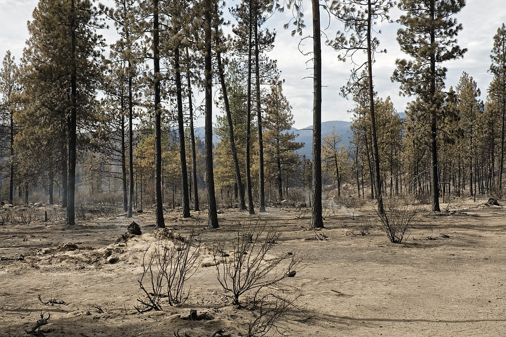
Oden Road Fire 3
2015-01-19_04-52-07
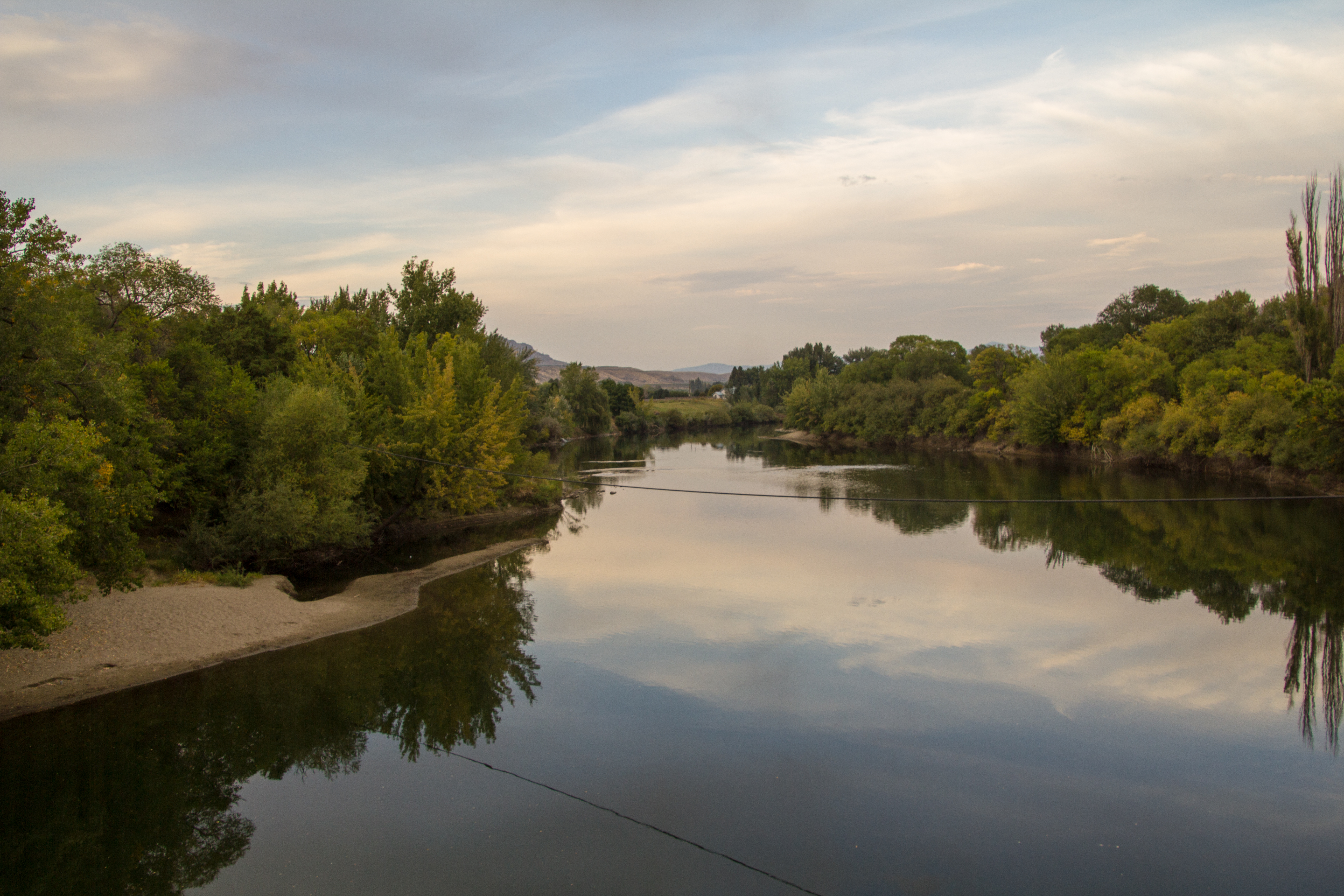
Okanogan River @ the Malott Bridge
an impossibly beautiful spring landscape
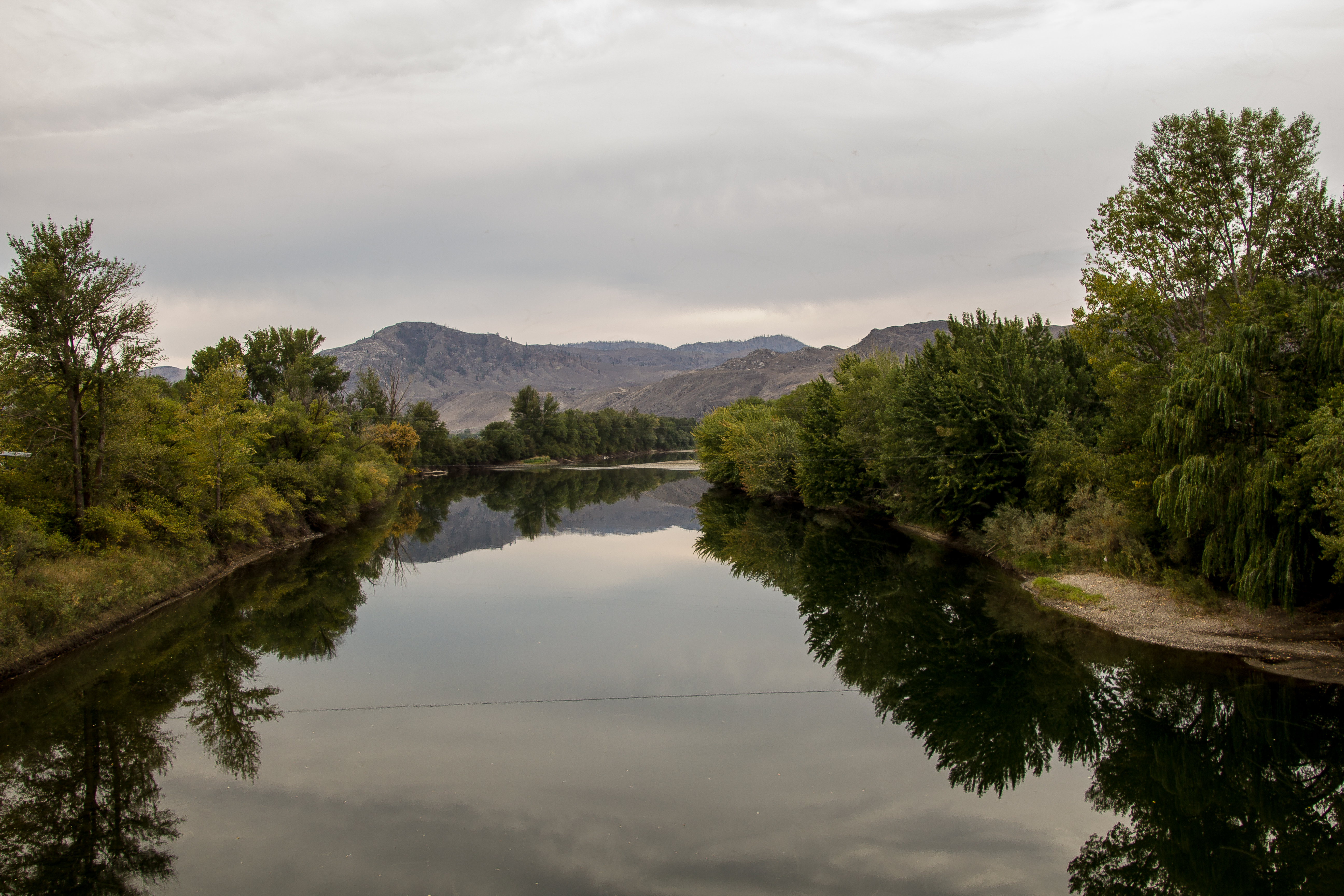
Okanogan River @ the Malott Bridge
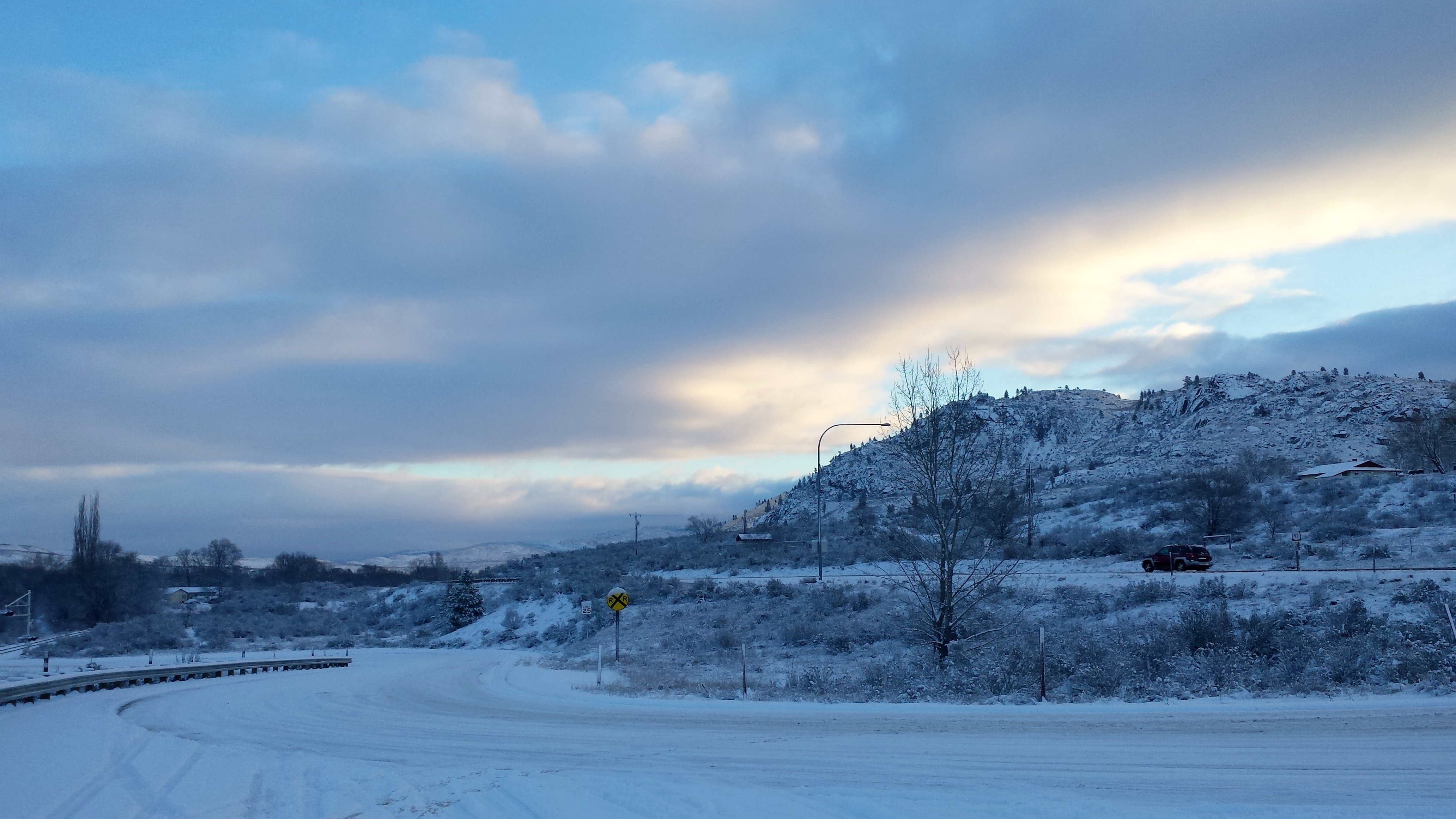
winter panorama
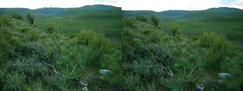
stereographic hillside
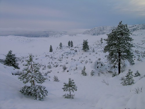
winter hills in fog
Brewster Antenna Farm
Topographic Map of Chiliwist Rd, Washington, USA
Find elevation by address:

Places near Chiliwist Rd, Washington, USA:
219 Chiliwist Rd
Malott
35 B and O Rd, Okanogan, WA, USA
79 Alpine Ln
25 Kamsak Rd
Kamsak Road
14 Kamsak Rd
11 Kamsak Rd
5 Kamsak Rd
1 Kamsak Rd
1 Kamsak Rd
17 Kamsak Rd
Napa Auto Parts - Hamilton Farm Equipment Center
Griggs Ave E, Brewster, WA, USA
Brewster
Lake Pateros
Washington 20
50 Sky Ln
597 Salmon Creek Rd
Okanogan
Recent Searches:
- Elevation of Congressional Dr, Stevensville, MD, USA
- Elevation of Bellview Rd, McLean, VA, USA
- Elevation of Stage Island Rd, Chatham, MA, USA
- Elevation of Shibuya Scramble Crossing, 21 Udagawacho, Shibuya City, Tokyo -, Japan
- Elevation of Jadagoniai, Kaunas District Municipality, Lithuania
- Elevation of Pagonija rock, Kranto 7-oji g. 8"N, Kaunas, Lithuania
- Elevation of Co Rd 87, Jamestown, CO, USA
- Elevation of Tenjo, Cundinamarca, Colombia
- Elevation of Côte-des-Neiges, Montreal, QC H4A 3J6, Canada
- Elevation of Bobcat Dr, Helena, MT, USA