Elevation of 79 Alpine Ln, Okanogan, WA, USA
Location: United States > Washington > Okanogan County > Okanogan >
Longitude: -119.74863
Latitude: 48.3821749
Elevation: 887m / 2910feet
Barometric Pressure: 91KPa
Elevation Map:
Satellite Map:
Related Photos:
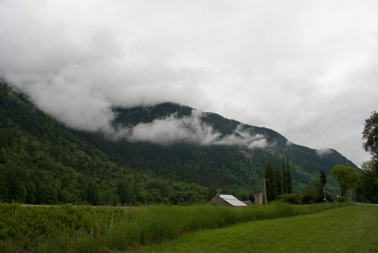
Loop Loop Creek
Rays Of Warmth 2

Calliope Hummingbird
Rays Of Warmth
Loup Loup Camp
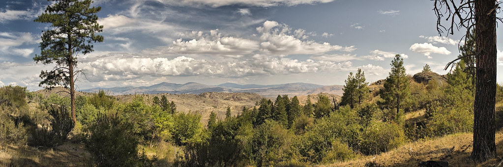
View from Windy Hill
View near "Snow Dogs" cache

Okanogan County Courthouse, Okanogan, Washington

Okanogan County Courthouse, Okanogan, Washington

Okanogan County Courthouse, Okanogan, Washington

Okanogan County Courthouse, Okanogan, Washington

Okanogan County Courthouse, Okanogan, Washington

Okanogan County Courthouse, Okanogan, Washington

Okanogan County Courthouse, Okanogan, Washington

Okanogan County Courthouse, Okanogan, Washington
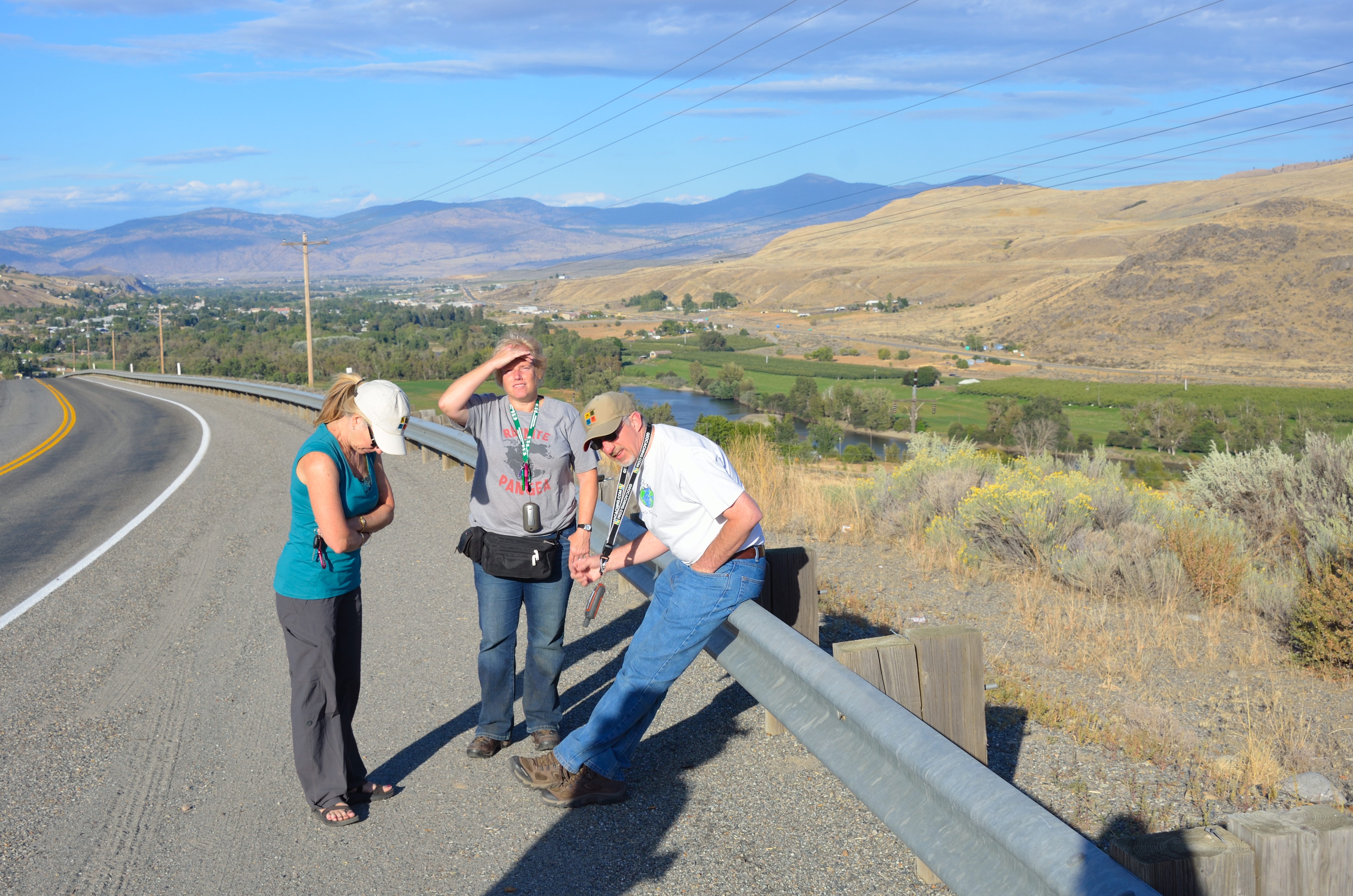
Lynn, Cathy and Phil near "B & O View"

Northern Washington State

Okanogan County Courthouse, Okanogan, Washington

Okanogan County Courthouse, Okanogan, Washington

Okanogan County Courthouse, Okanogan, Washington

ray's place
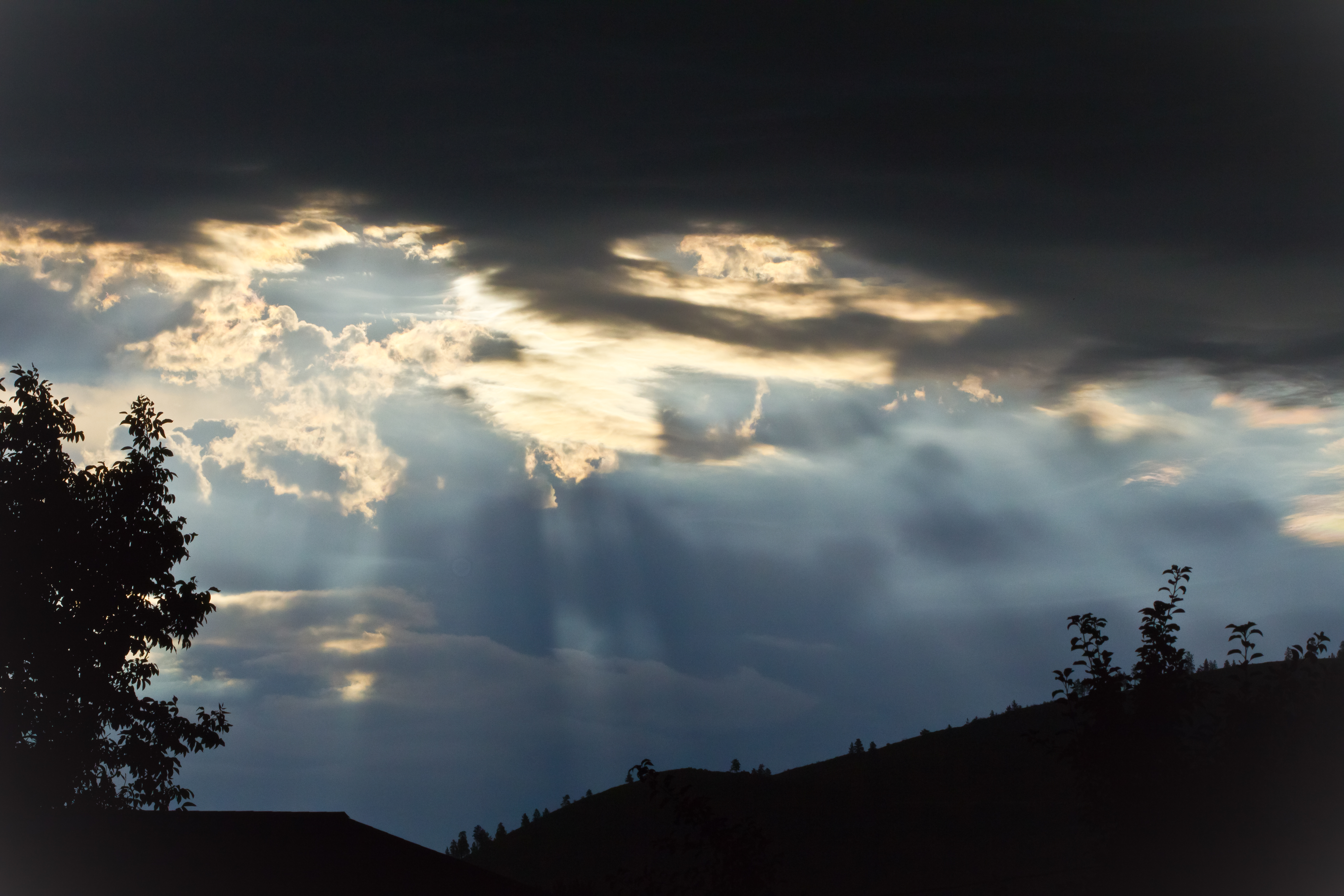
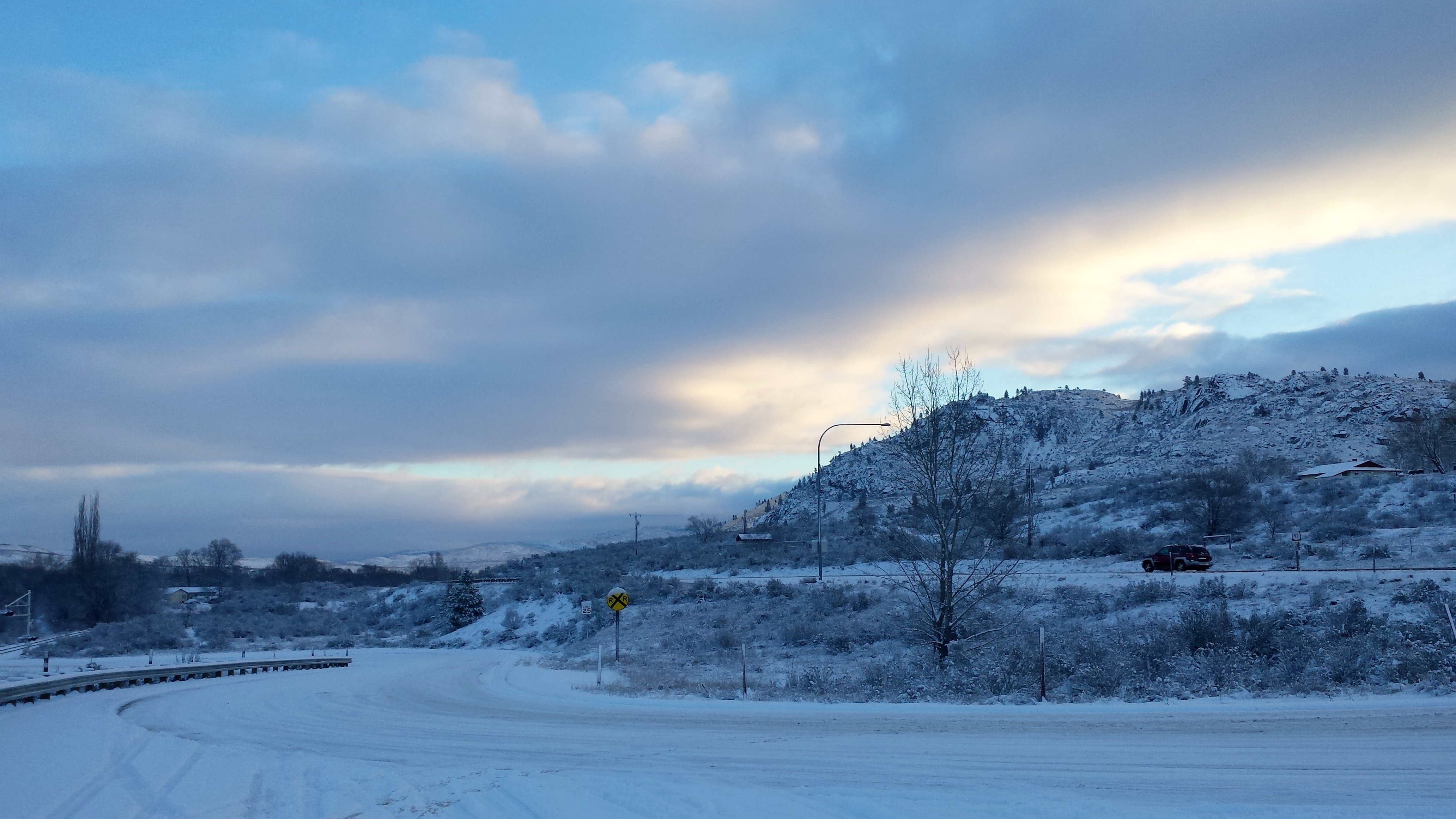
A Stormy Day
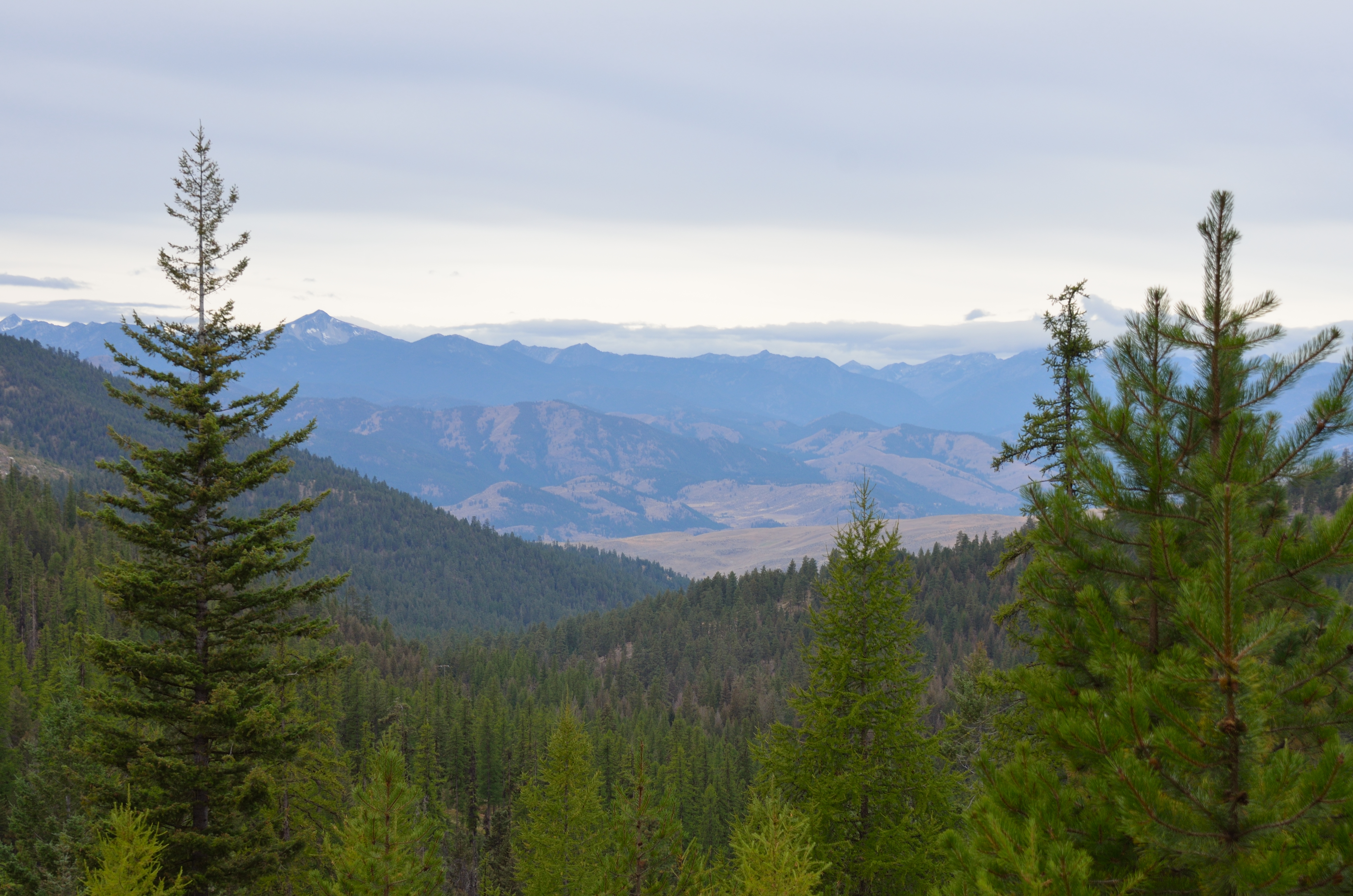
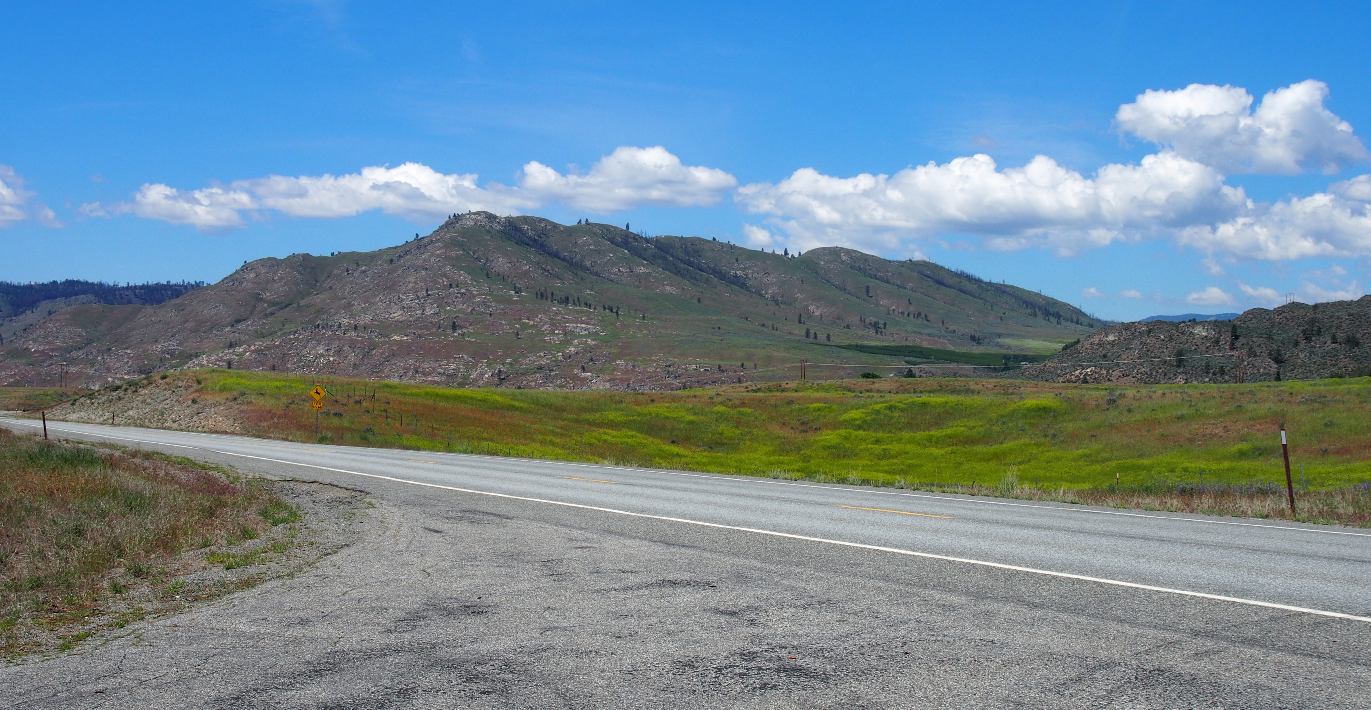
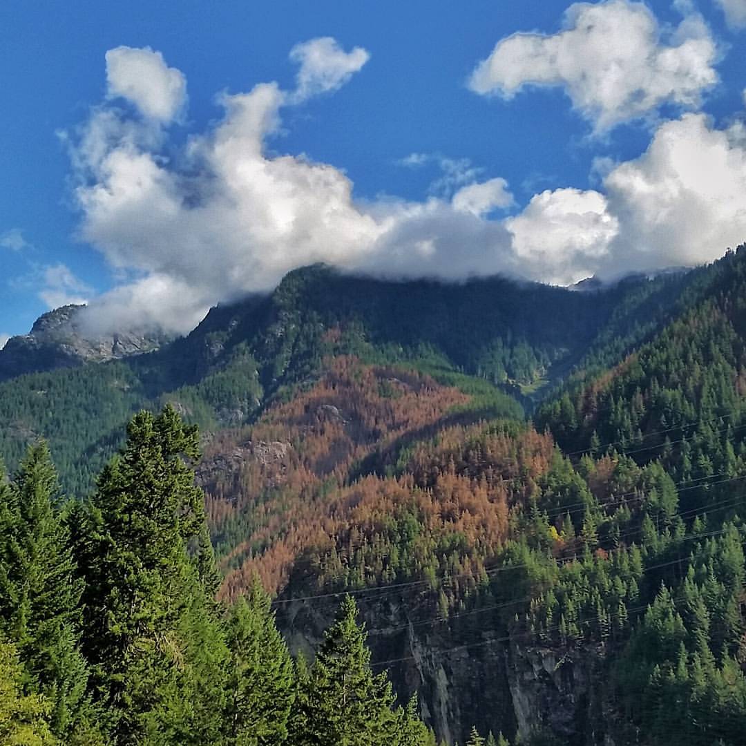
Northern Cascades
2015-01-19_04-52-07
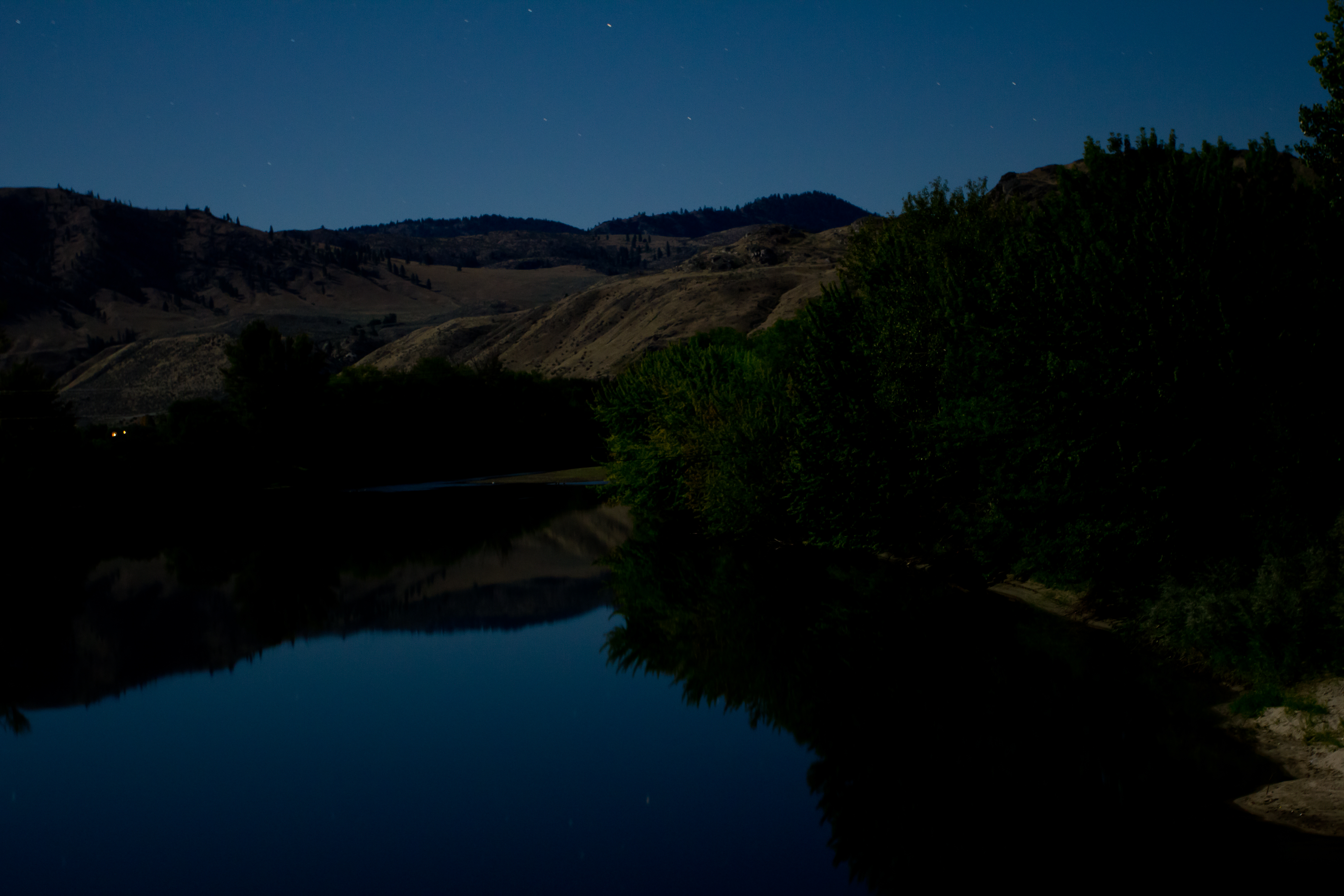
Playing under a Blue Moon
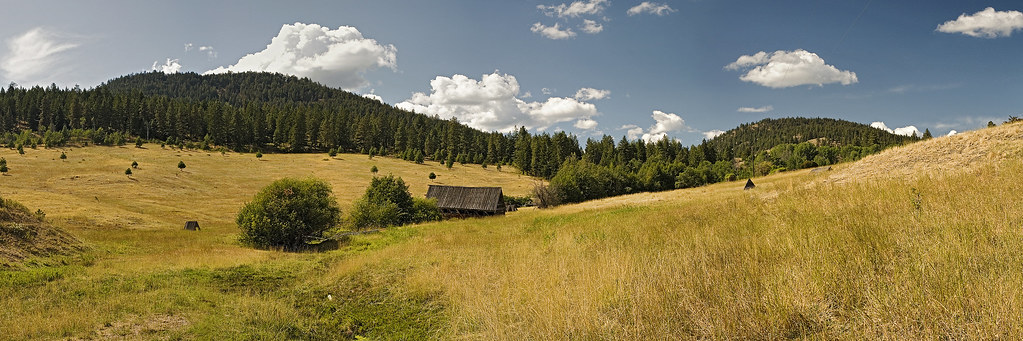
High Mountain Meadow
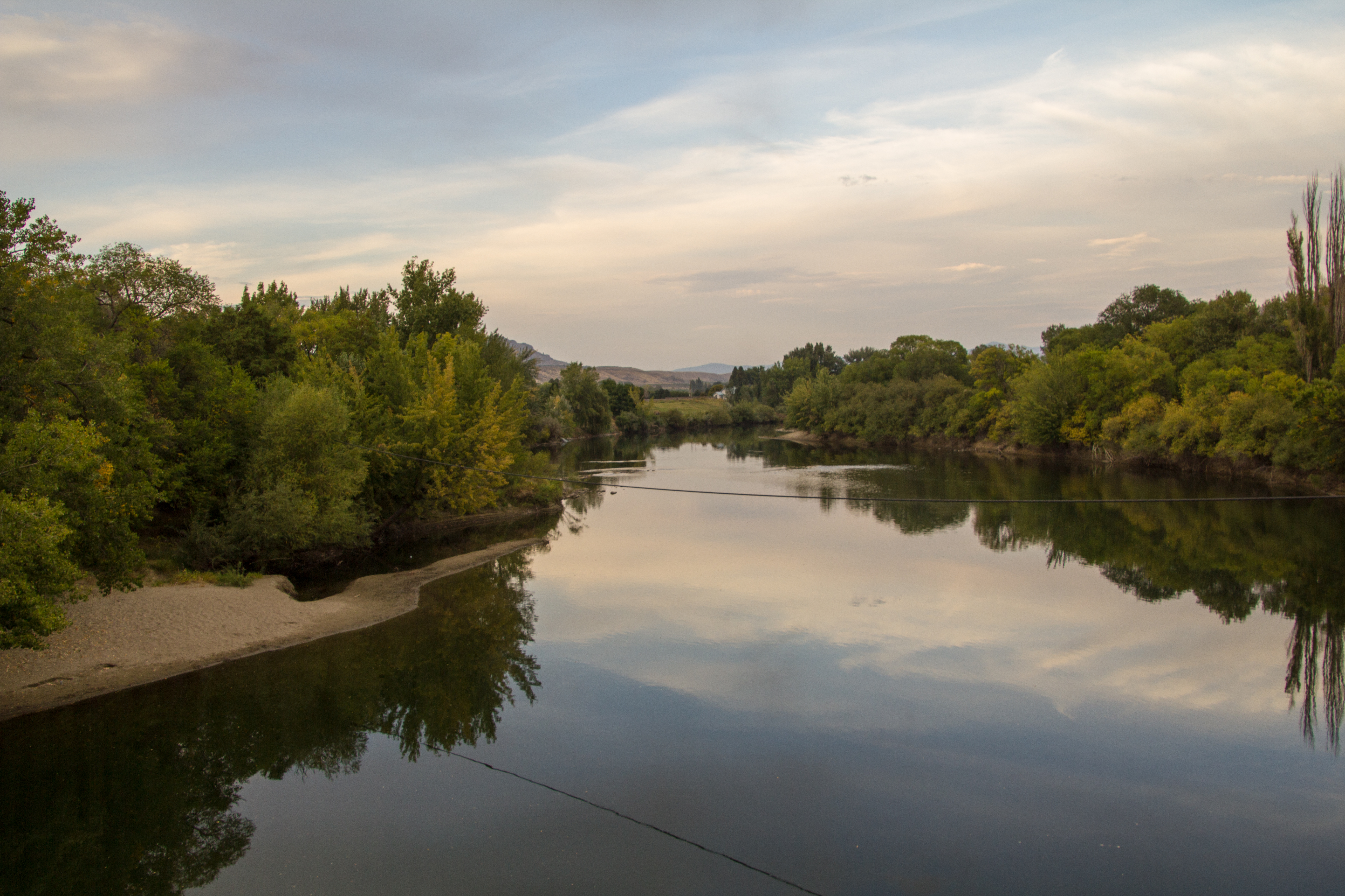
Okanogan River @ the Malott Bridge
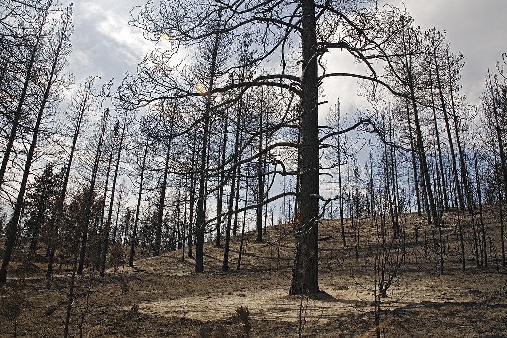
Oden Road fire damage
P2015-05-20 12.07.18
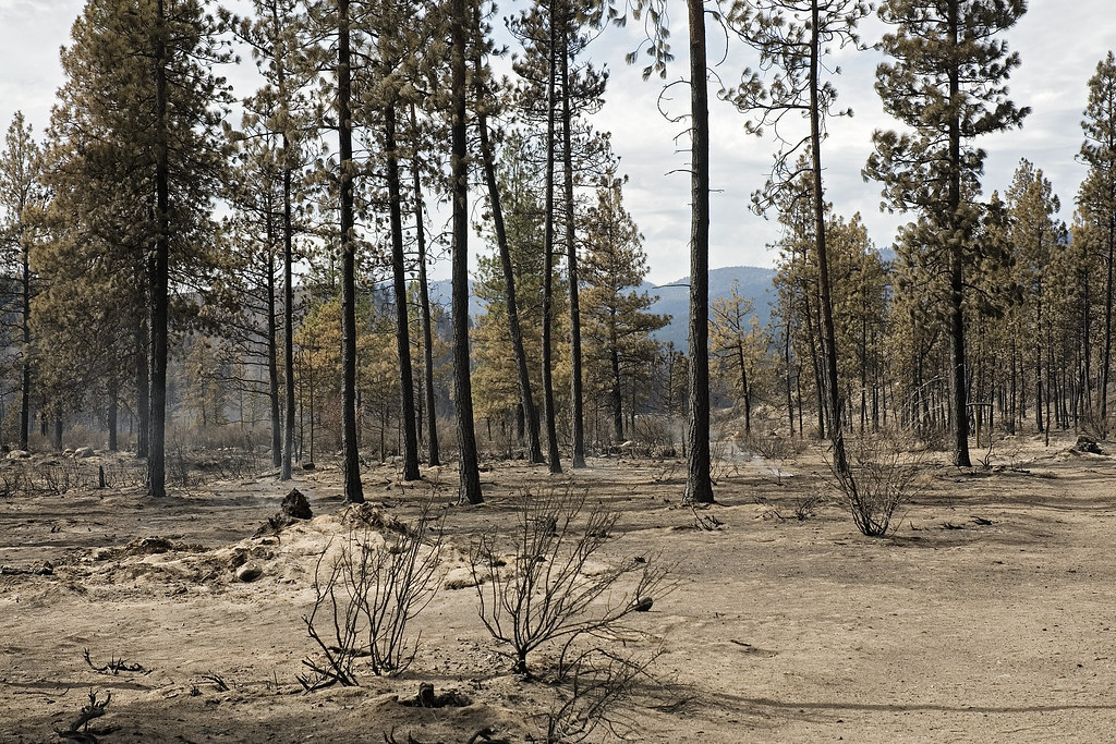
Oden Road Fire 3
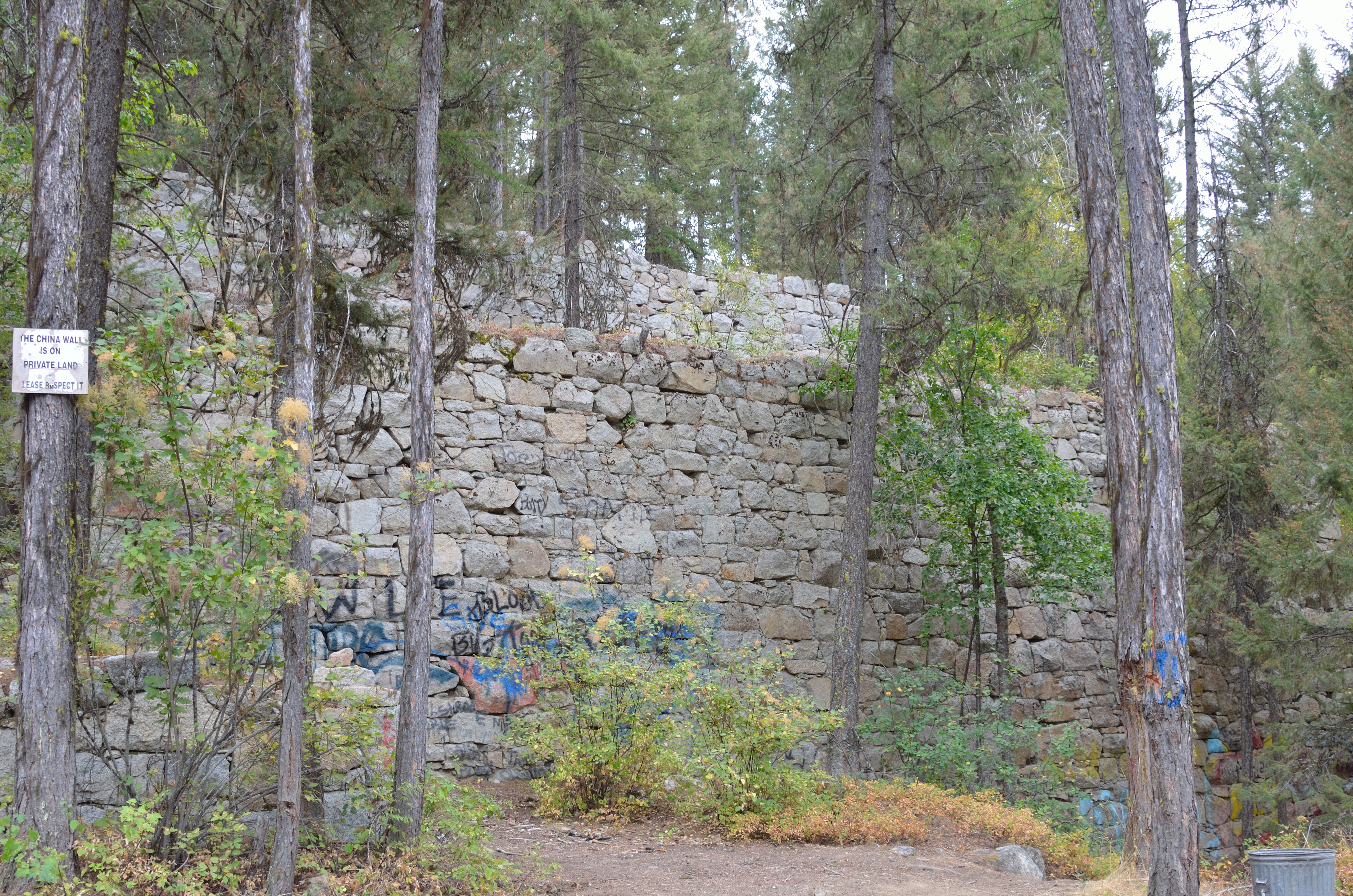
China Wall
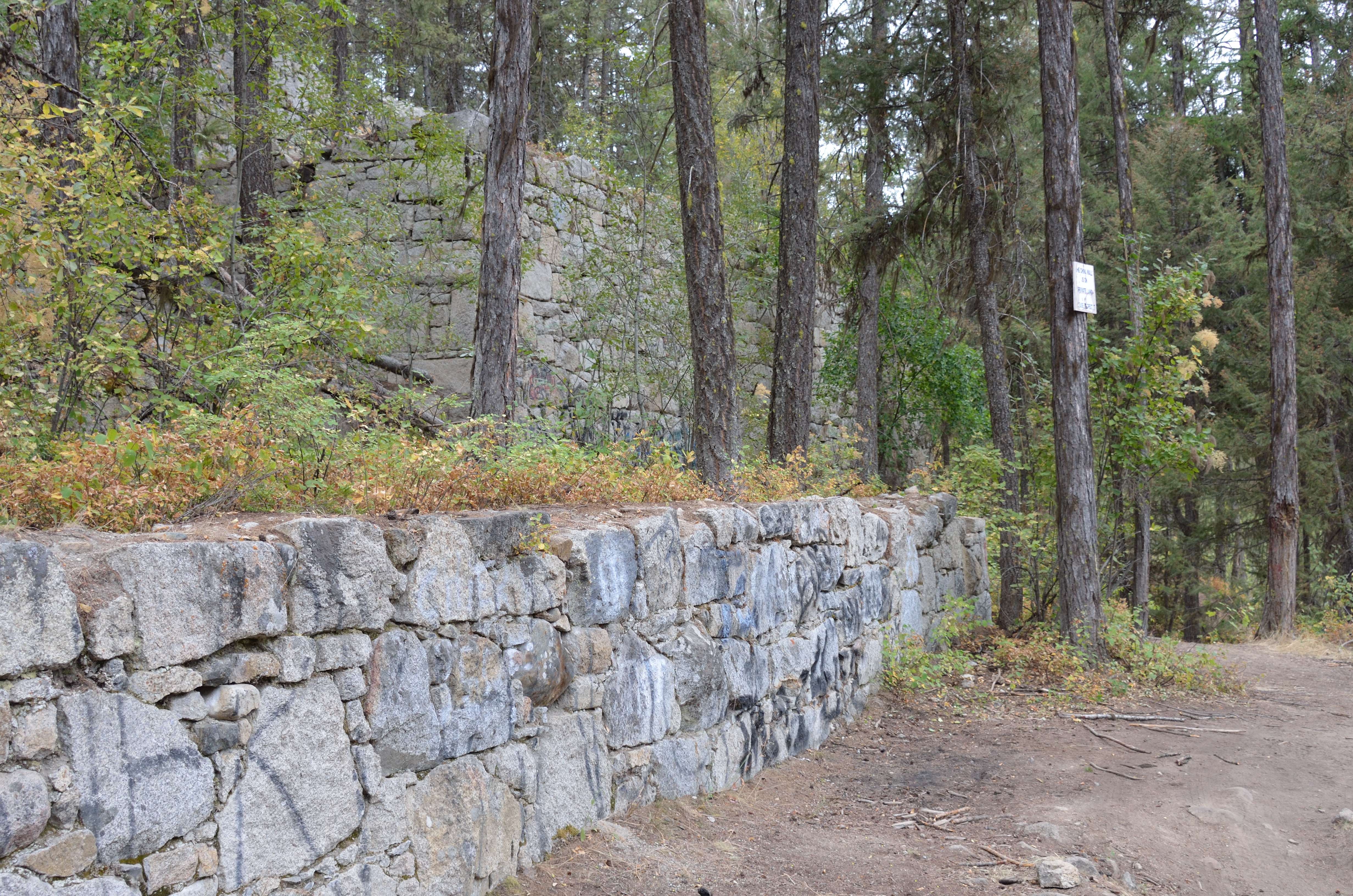
China Wall
P2015-05-20 11.36.58
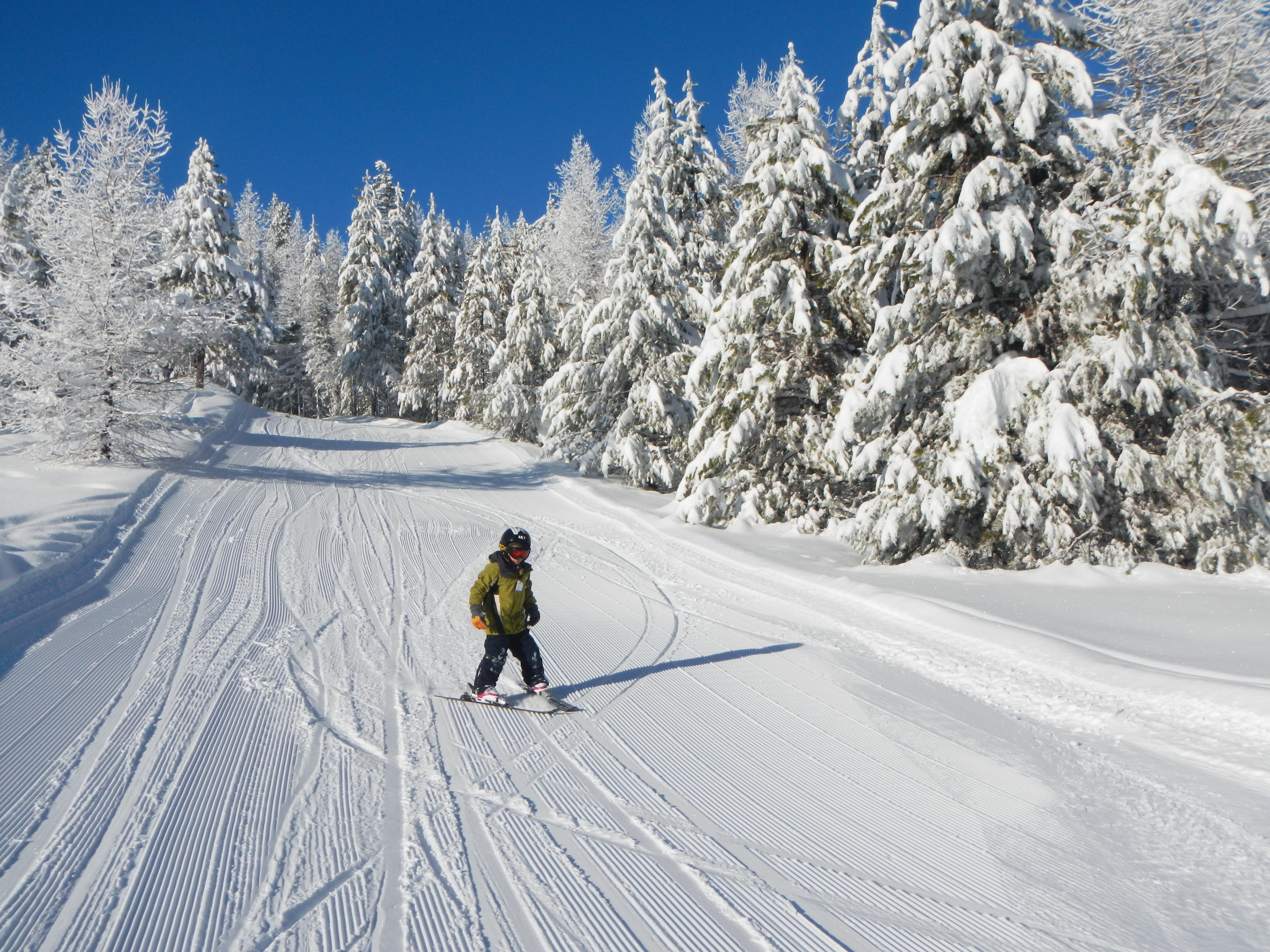
Ski Day at Loup Loup
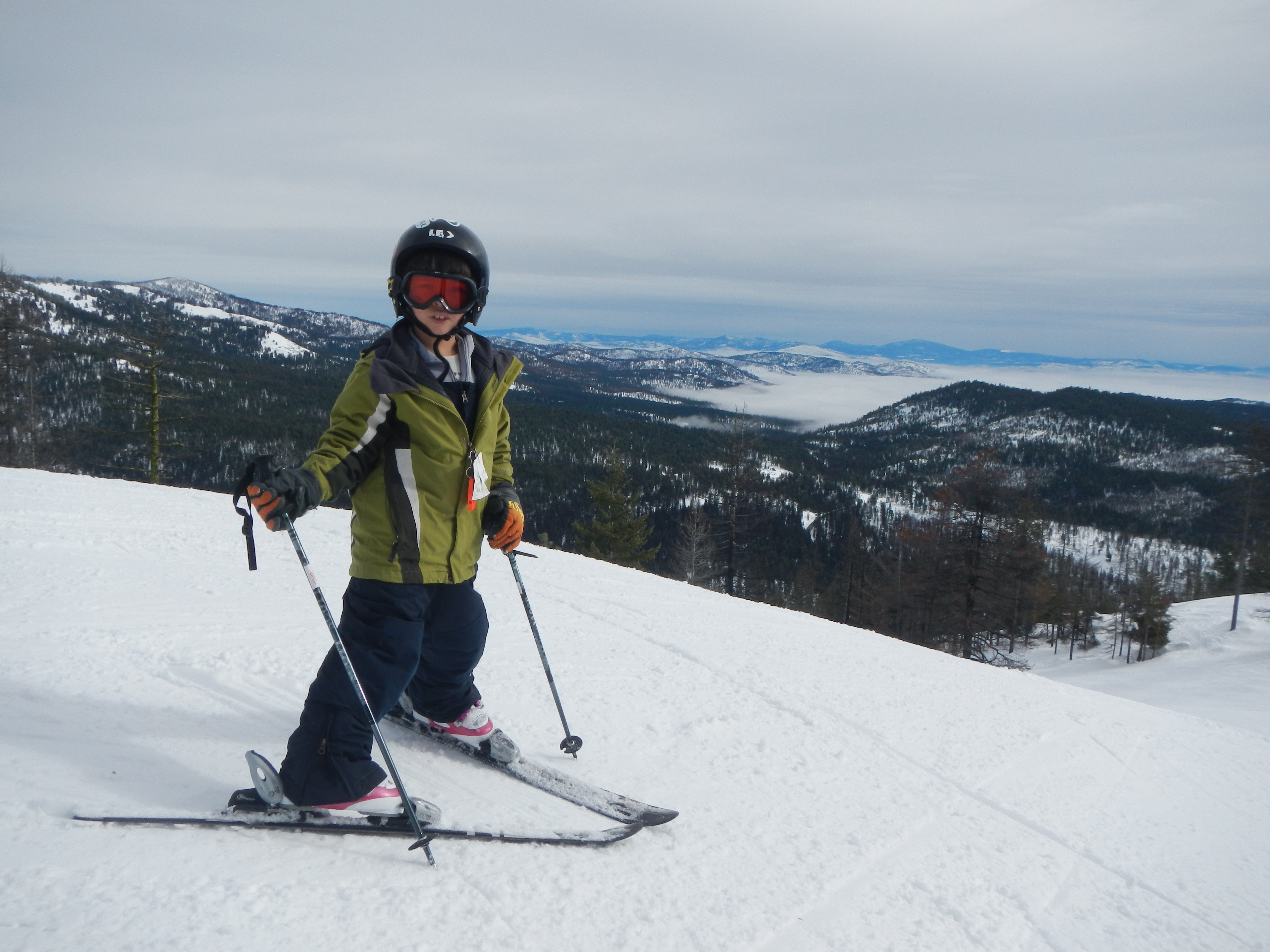
Ski Day at Loup Loup
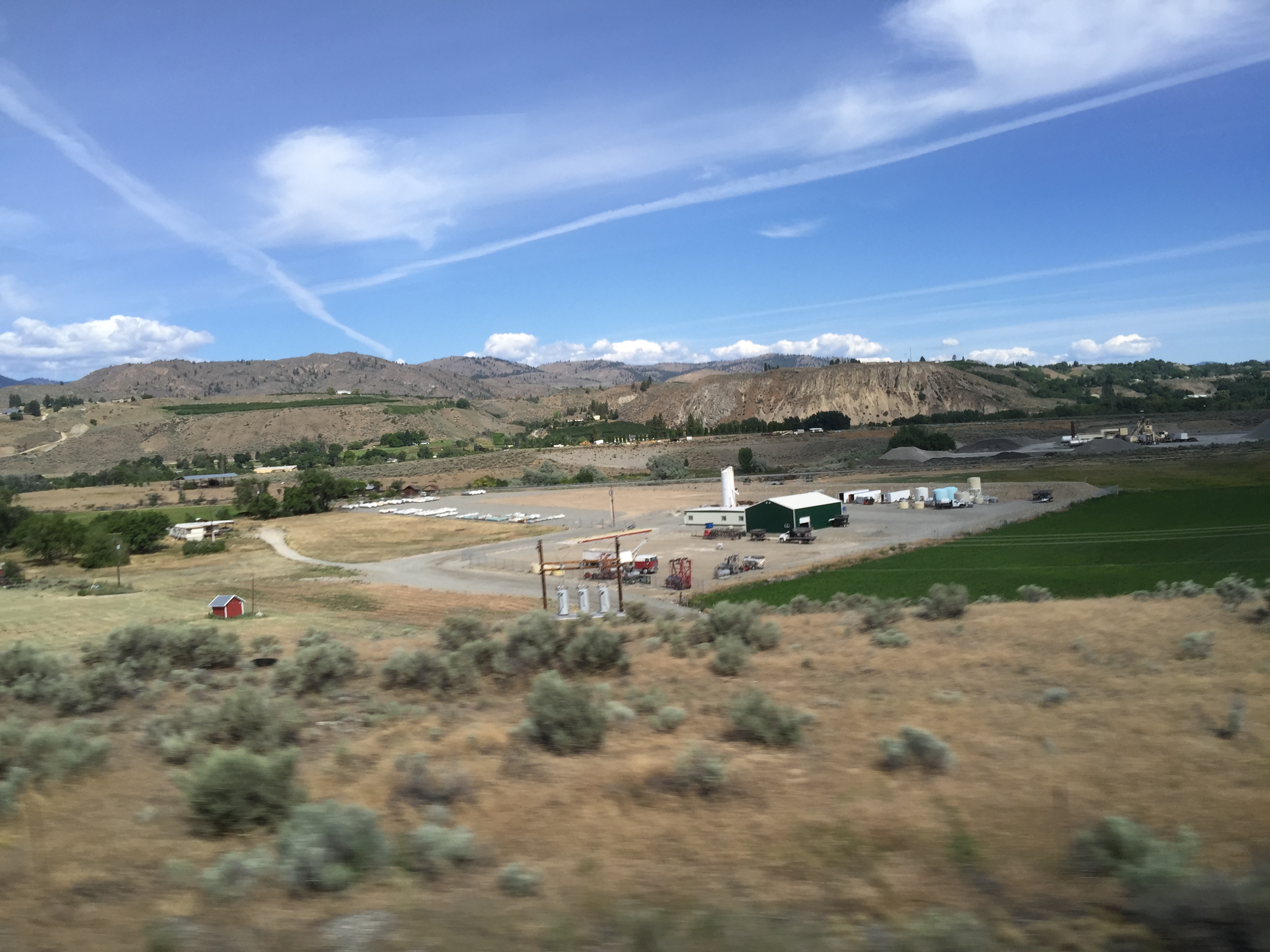
HT: Agriculture in Washington State
There are apps that tell you what constellation you're looking at. And @yelp has that "monocle" feature that lets you know where certain establishments are using your camera. They should definitely make one that tells you which land feature is in front of

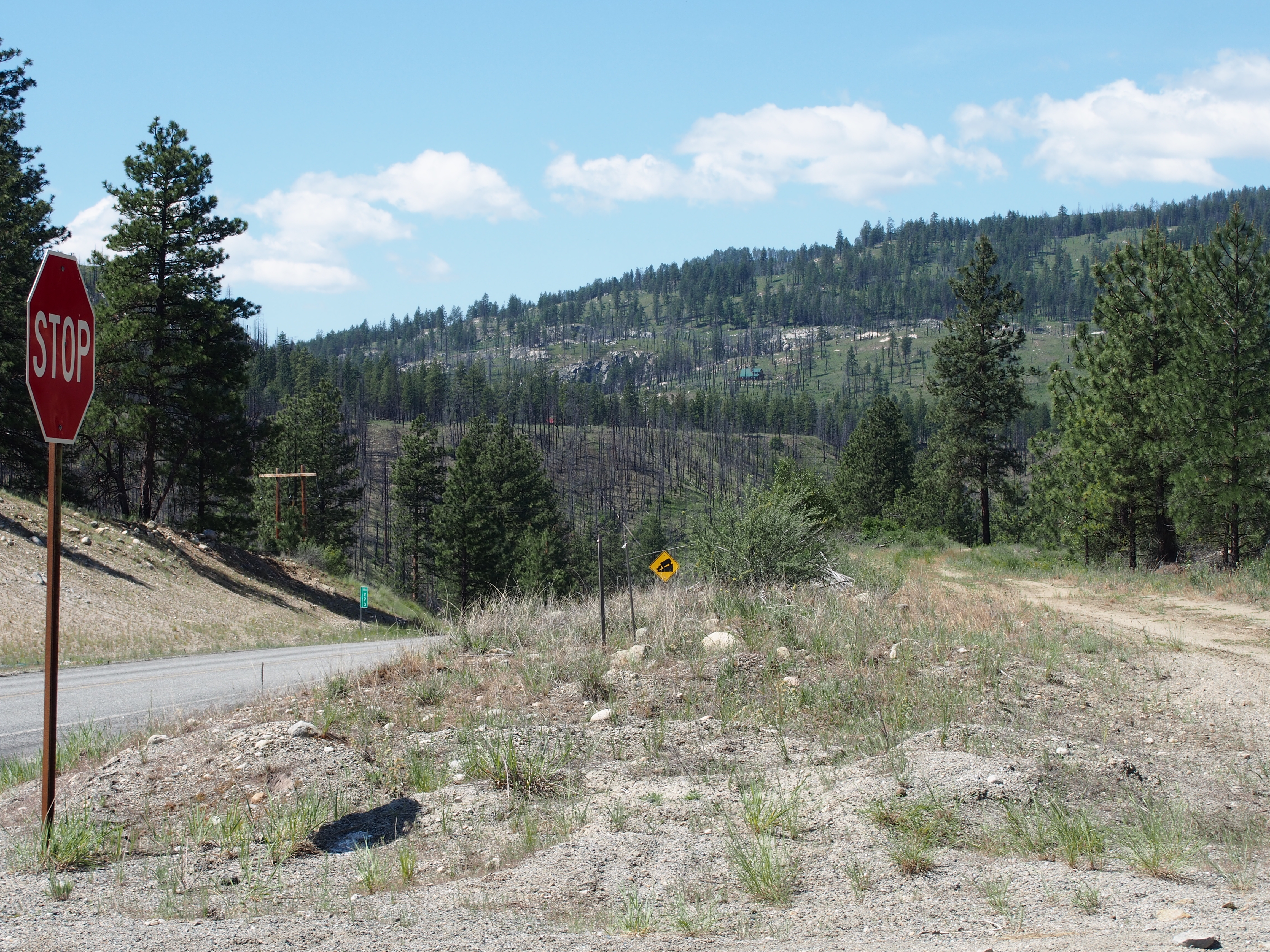
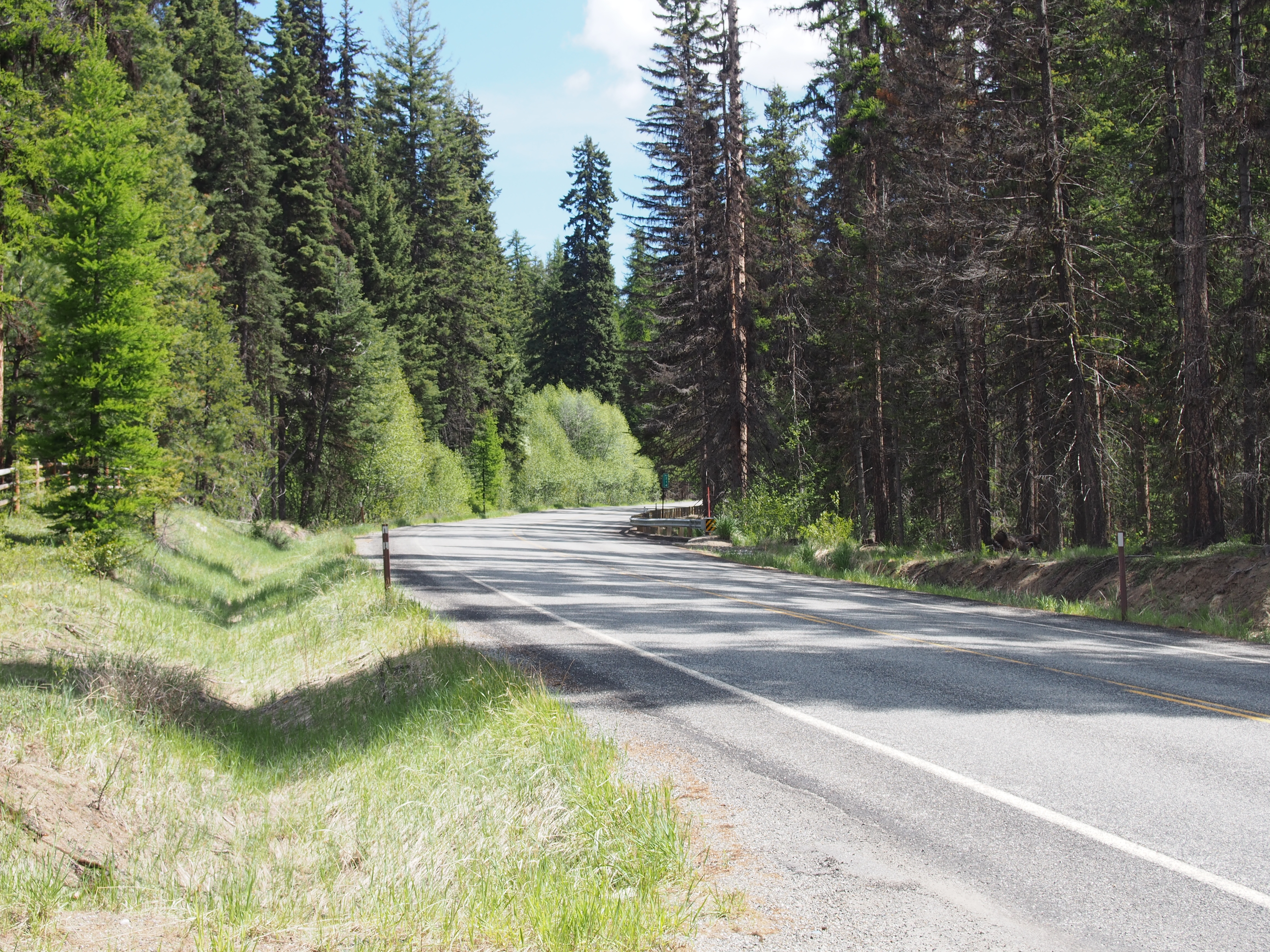
SR-20 at Loup Loup Pass
The trees have been captured!
SR-20
Topographic Map of 79 Alpine Ln, Okanogan, WA, USA
Find elevation by address:

Places near 79 Alpine Ln, Okanogan, WA, USA:
Malott
35 B and O Rd, Okanogan, WA, USA
219 Chiliwist Rd
219 Chiliwist Rd
597 Salmon Creek Rd
50 Sky Ln
Okanogan
Conconully
187 Silver Hill Rd
North Cascades Broadcasting
Washington 20
33 Madd Mtn Rd
Okanogan County
40 Scanlon Lake Rd
Castor Lake
25 Kamsak Rd
Kamsak Road
14 Kamsak Rd
11 Kamsak Rd
5 Kamsak Rd
Recent Searches:
- Elevation of Elwyn Dr, Roanoke Rapids, NC, USA
- Elevation of Congressional Dr, Stevensville, MD, USA
- Elevation of Bellview Rd, McLean, VA, USA
- Elevation of Stage Island Rd, Chatham, MA, USA
- Elevation of Shibuya Scramble Crossing, 21 Udagawacho, Shibuya City, Tokyo -, Japan
- Elevation of Jadagoniai, Kaunas District Municipality, Lithuania
- Elevation of Pagonija rock, Kranto 7-oji g. 8"N, Kaunas, Lithuania
- Elevation of Co Rd 87, Jamestown, CO, USA
- Elevation of Tenjo, Cundinamarca, Colombia
- Elevation of Côte-des-Neiges, Montreal, QC H4A 3J6, Canada