Elevation of Silver Hill Rd, Tonasket, WA, USA
Location: United States > Washington > Okanogan County > Tonasket >
Longitude: -119.70987
Latitude: 48.556329
Elevation: 811m / 2661feet
Barometric Pressure: 92KPa
Elevation Map:
Satellite Map:
Related Photos:

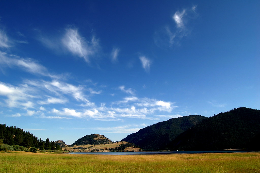
Hilltop Barn

Life After Death
Concanully 2
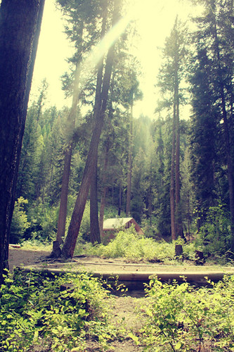
While Camping
Mineral Hill
Someday...

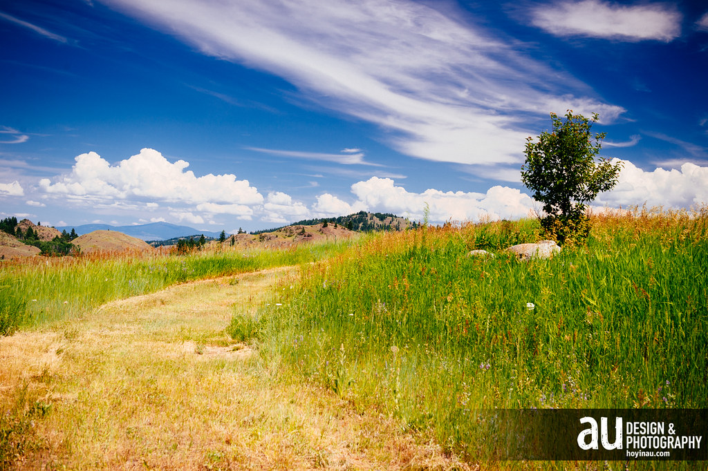
High Meadows
Conconully Reservoir

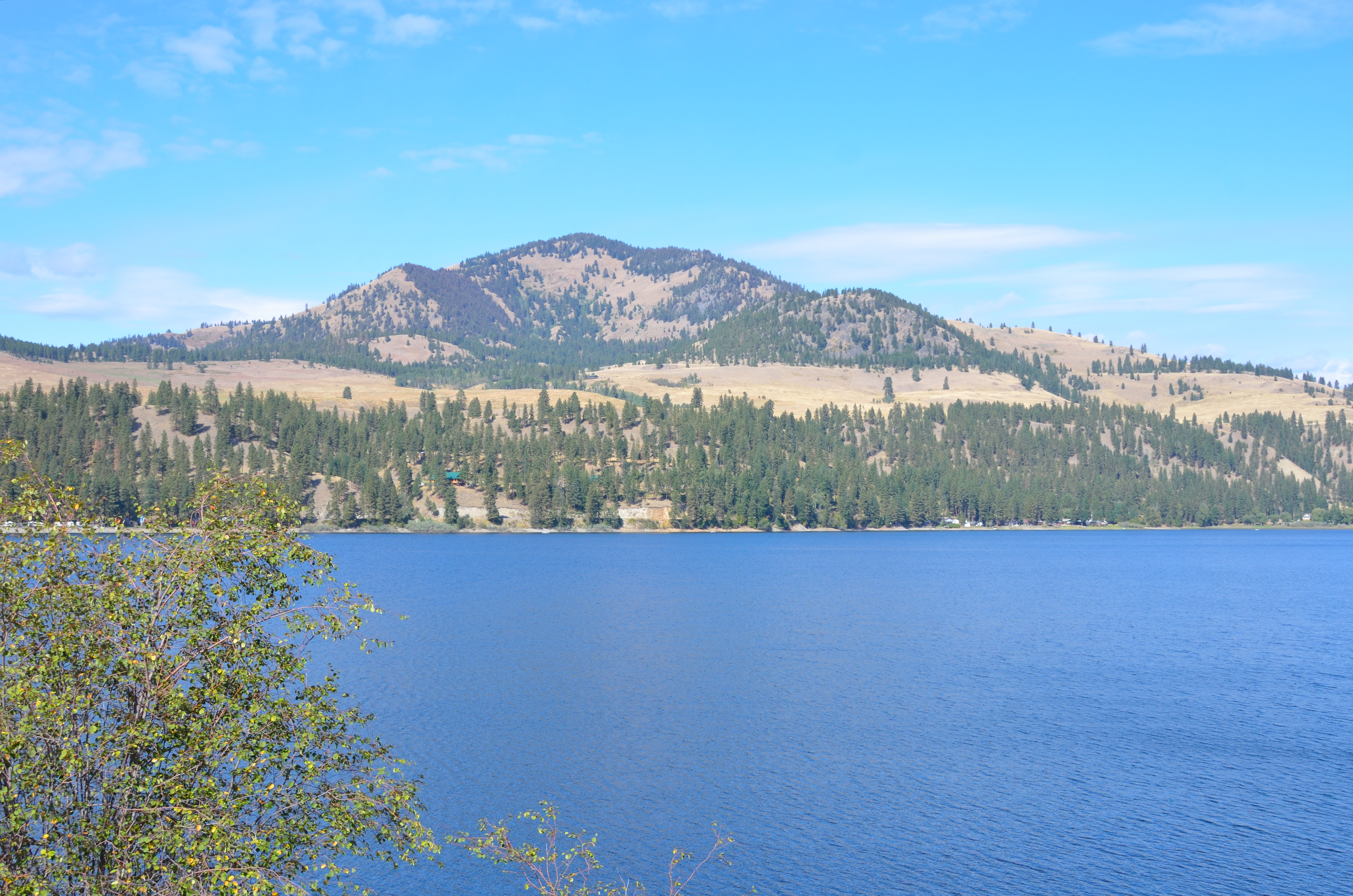
Lake Conconully
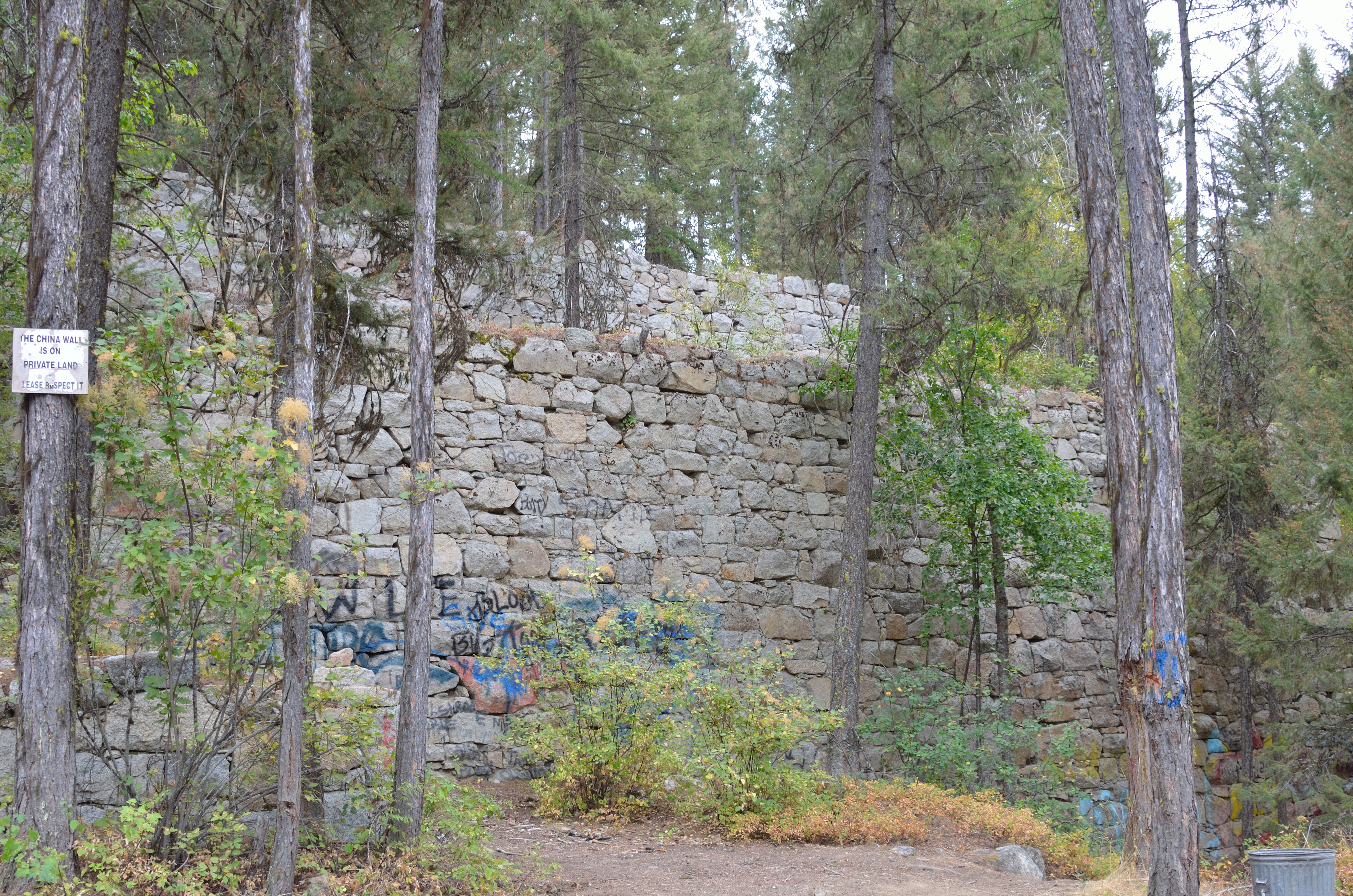
China Wall
01202013 162

Okanogan Valley from Mount Olive
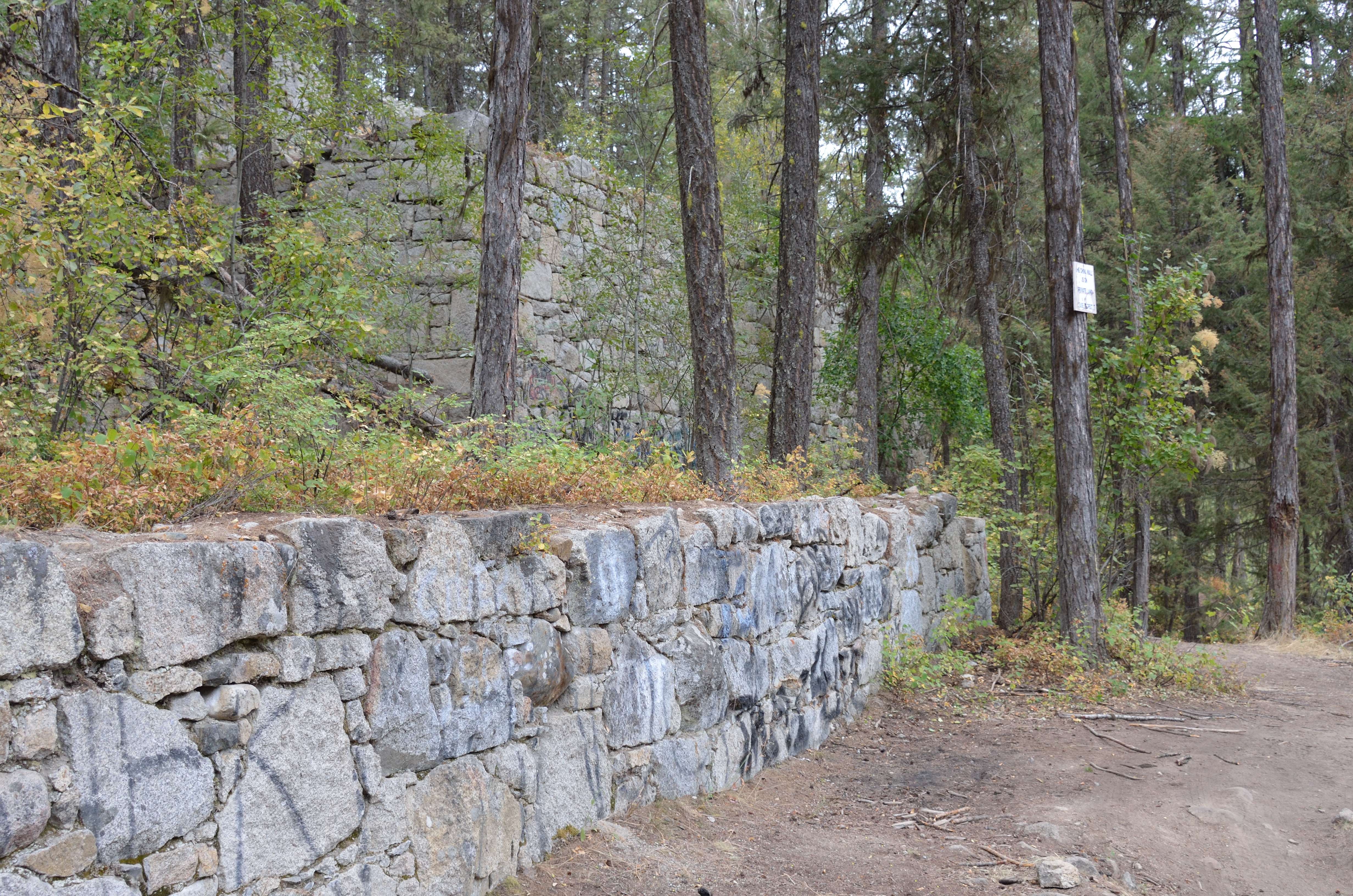
China Wall

P2015-05-20 15.21.04

P2015-05-20 15.21.02

P2015-05-20 15.44.55
SR-20
Day 79
Day 80
Day 81
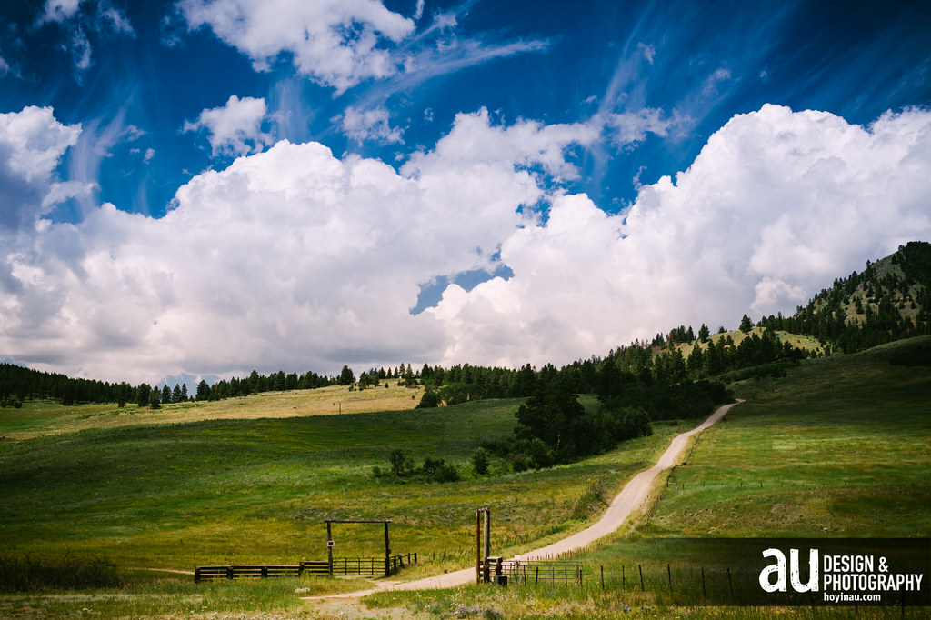
Above Conconully
Topographic Map of Silver Hill Rd, Tonasket, WA, USA
Find elevation by address:

Places near Silver Hill Rd, Tonasket, WA, USA:
Conconully
Okanogan County
83 Lemanasky Rd
40 Scanlon Lake Rd
597 Salmon Creek Rd
Castor Lake
79 Alpine Ln
North Lemanasky Road
50 Sky Ln
Okanogan
North Cascades Broadcasting
Rock Mountain
23 Bighorn Dr
23 Bighorn Dr
23 Bighorn Dr
Malott
35 B and O Rd, Okanogan, WA, USA
Loomis
219 Chiliwist Rd
219 Chiliwist Rd
Recent Searches:
- Elevation of Elwyn Dr, Roanoke Rapids, NC, USA
- Elevation of Congressional Dr, Stevensville, MD, USA
- Elevation of Bellview Rd, McLean, VA, USA
- Elevation of Stage Island Rd, Chatham, MA, USA
- Elevation of Shibuya Scramble Crossing, 21 Udagawacho, Shibuya City, Tokyo -, Japan
- Elevation of Jadagoniai, Kaunas District Municipality, Lithuania
- Elevation of Pagonija rock, Kranto 7-oji g. 8"N, Kaunas, Lithuania
- Elevation of Co Rd 87, Jamestown, CO, USA
- Elevation of Tenjo, Cundinamarca, Colombia
- Elevation of Côte-des-Neiges, Montreal, QC H4A 3J6, Canada