Elevation of 77 Stokes Rd, Carlton, WA, USA
Location: United States > Washington > Carlton >
Longitude: -120.12367
Latitude: 48.2103935
Elevation: -10000m / -32808feet
Barometric Pressure: 295KPa
Elevation Map:
Satellite Map:
Related Photos:

Wide view of Skatitude

Full view of Skatitude
Long view

Close view of Critical Massive

Golden Doe

PIX-IMG_5149HDTV-Test-g

Morning Swim in the Mountains

Smoky Gradient

CM08-18.jpg

Upper Eagle Tarn

Washington Explorations

IMG_0314.JPG

IMG_0322.JPG

Lower Eagle Lake

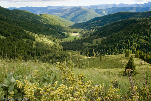
Climbing Out of the Methow Valley

Black Pines Lake
Topographic Map of 77 Stokes Rd, Carlton, WA, USA
Find elevation by address:

Places near 77 Stokes Rd, Carlton, WA, USA:
Carlton Rv Park
Carlton
42 Old Carlton Rd
221 Texas Creek Rd
302 Smith Canyon Rd
630 Texas Creek Rd
54 Sanctuary Ln
696 Texas Creek Rd
French Creek Road
Methow
Twisp
95 Twisp River Rd
Fox Peak
Cooper Mountain Road
Bryan Butte
Pipestone Canyon Ranch
North Navarre Peak
Hoodoo Peak
Raven Ridge
Washington 20
Recent Searches:
- Elevation of Pykes Down, Ivybridge PL21 0BY, UK
- Elevation of Jalan Senandin, Lutong, Miri, Sarawak, Malaysia
- Elevation of Bilohirs'k
- Elevation of 30 Oak Lawn Dr, Barkhamsted, CT, USA
- Elevation of Luther Road, Luther Rd, Auburn, CA, USA
- Elevation of Unnamed Road, Respublika Severnaya Osetiya — Alaniya, Russia
- Elevation of Verkhny Fiagdon, North Ossetia–Alania Republic, Russia
- Elevation of F. Viola Hiway, San Rafael, Bulacan, Philippines
- Elevation of Herbage Dr, Gulfport, MS, USA
- Elevation of Lilac Cir, Haldimand, ON N3W 2G9, Canada