Elevation of Twentymile Creek, Washington, USA
Location: United States > Washington > Winthrop >
Longitude: -120.10814
Latitude: 48.7006543
Elevation: 917m / 3009feet
Barometric Pressure: 91KPa
Elevation Map:
Satellite Map:
Related Photos:
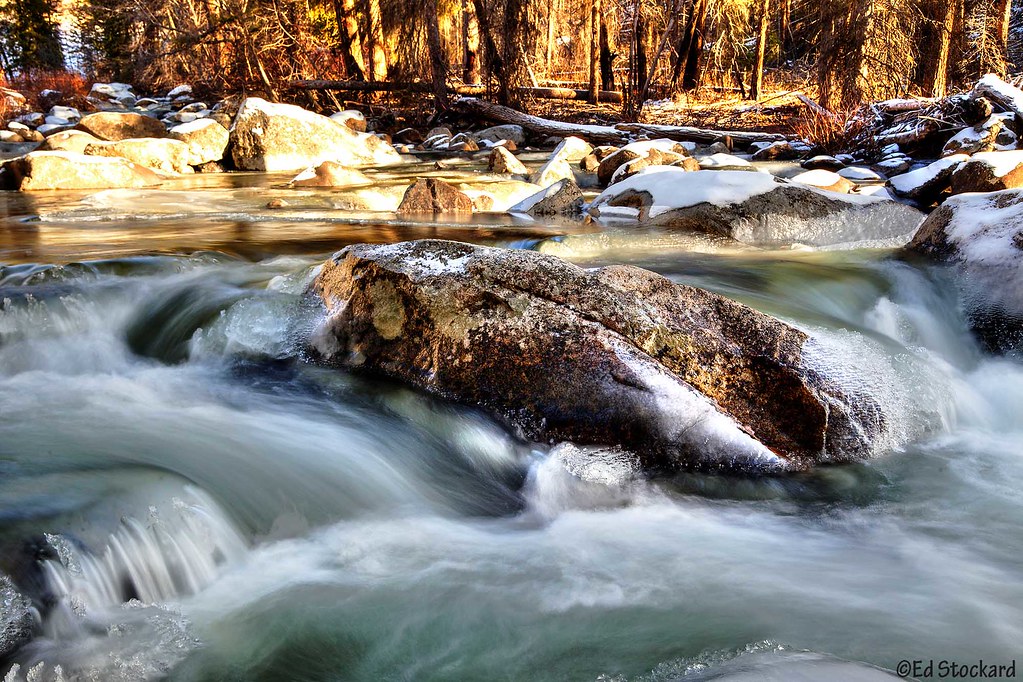
Ice Time

Eightmile Canyon
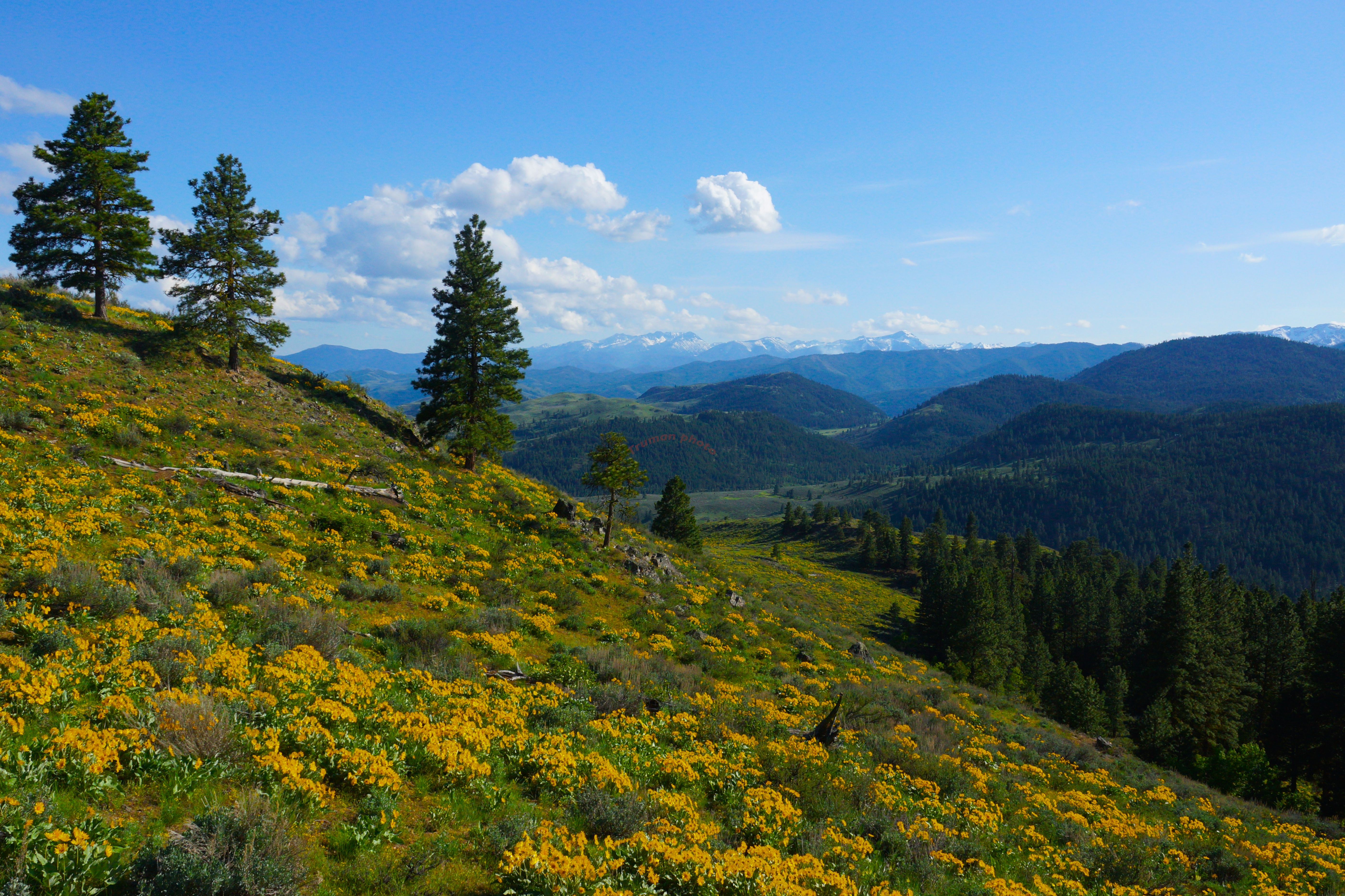
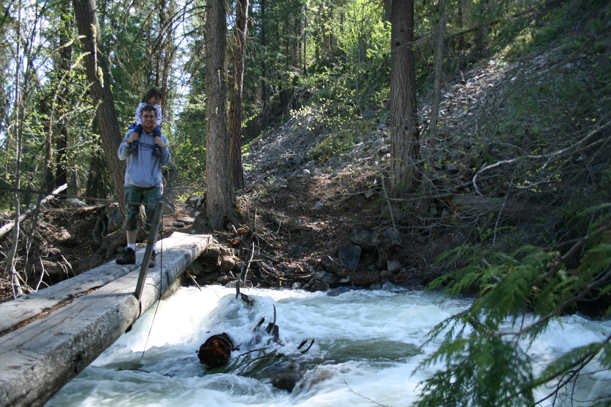
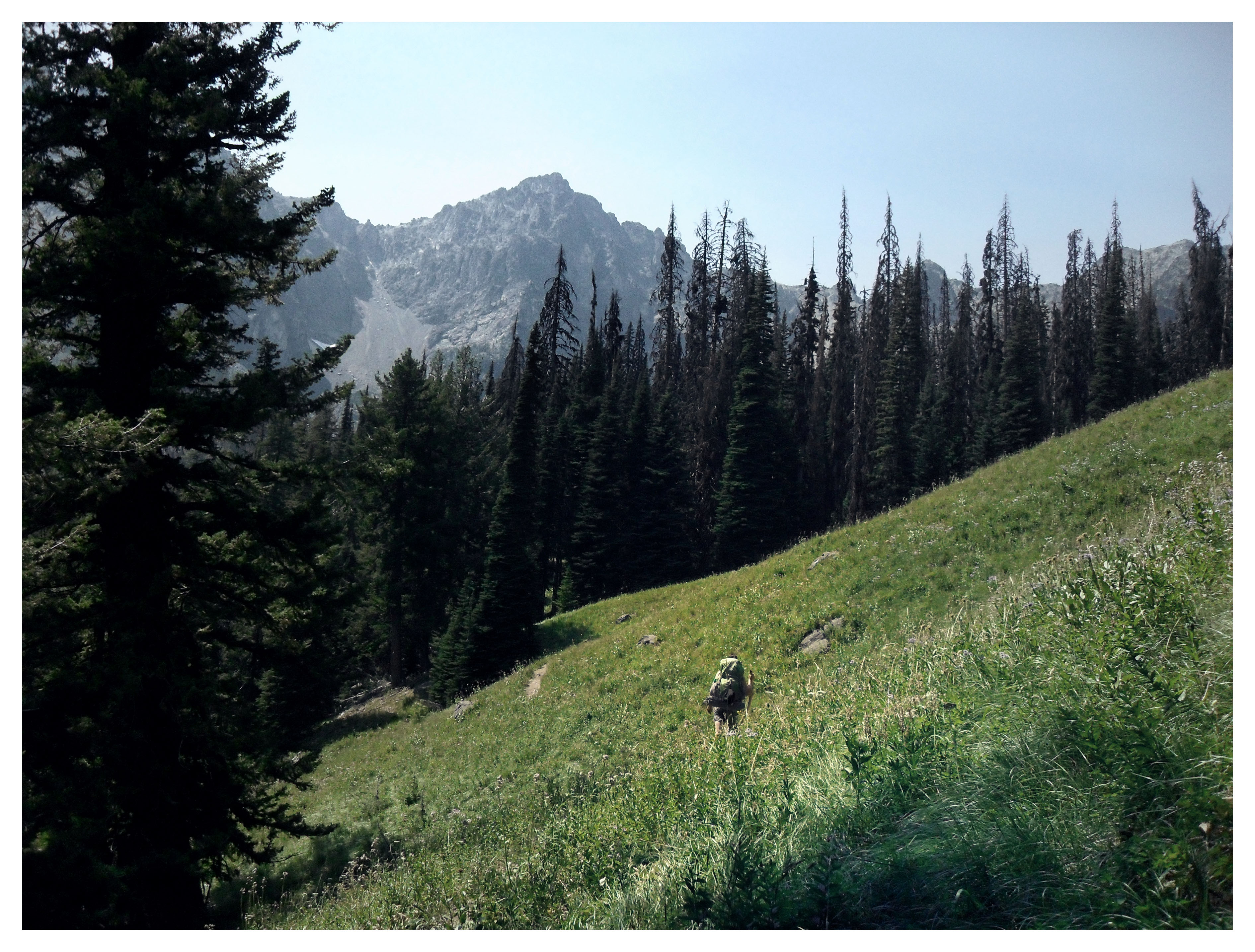
methow valley
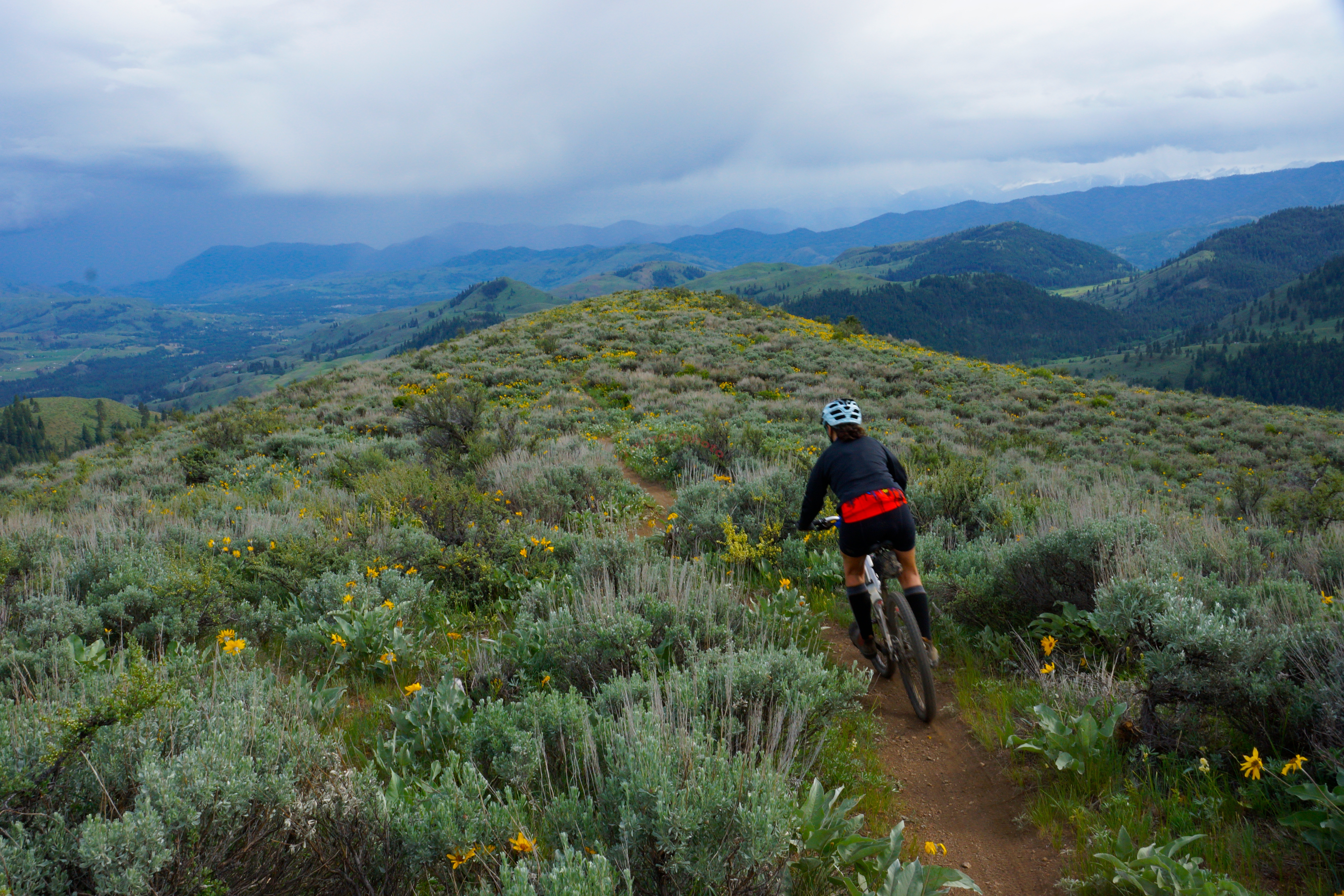
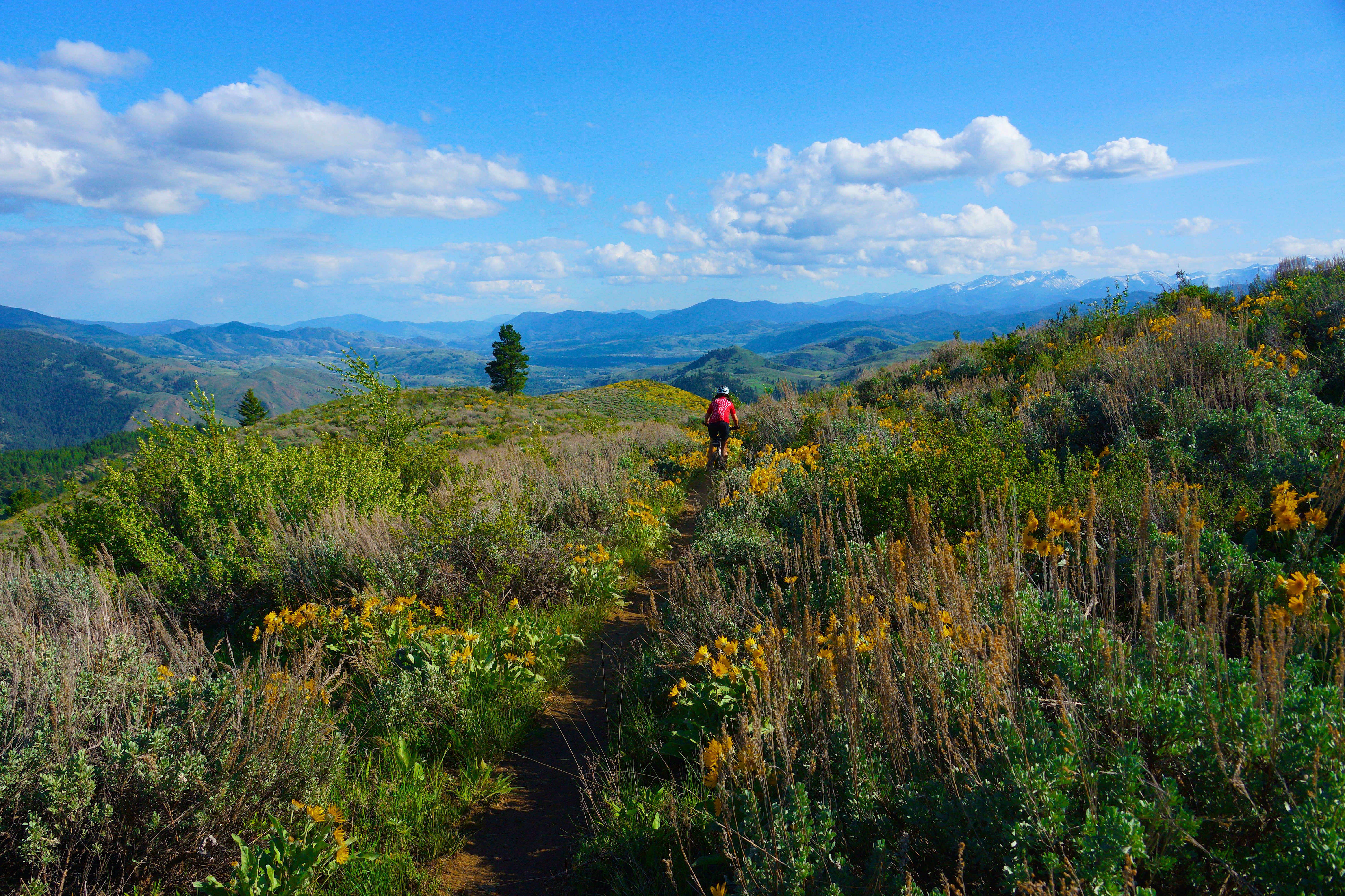
Biking in the Methow Valley, Washington.
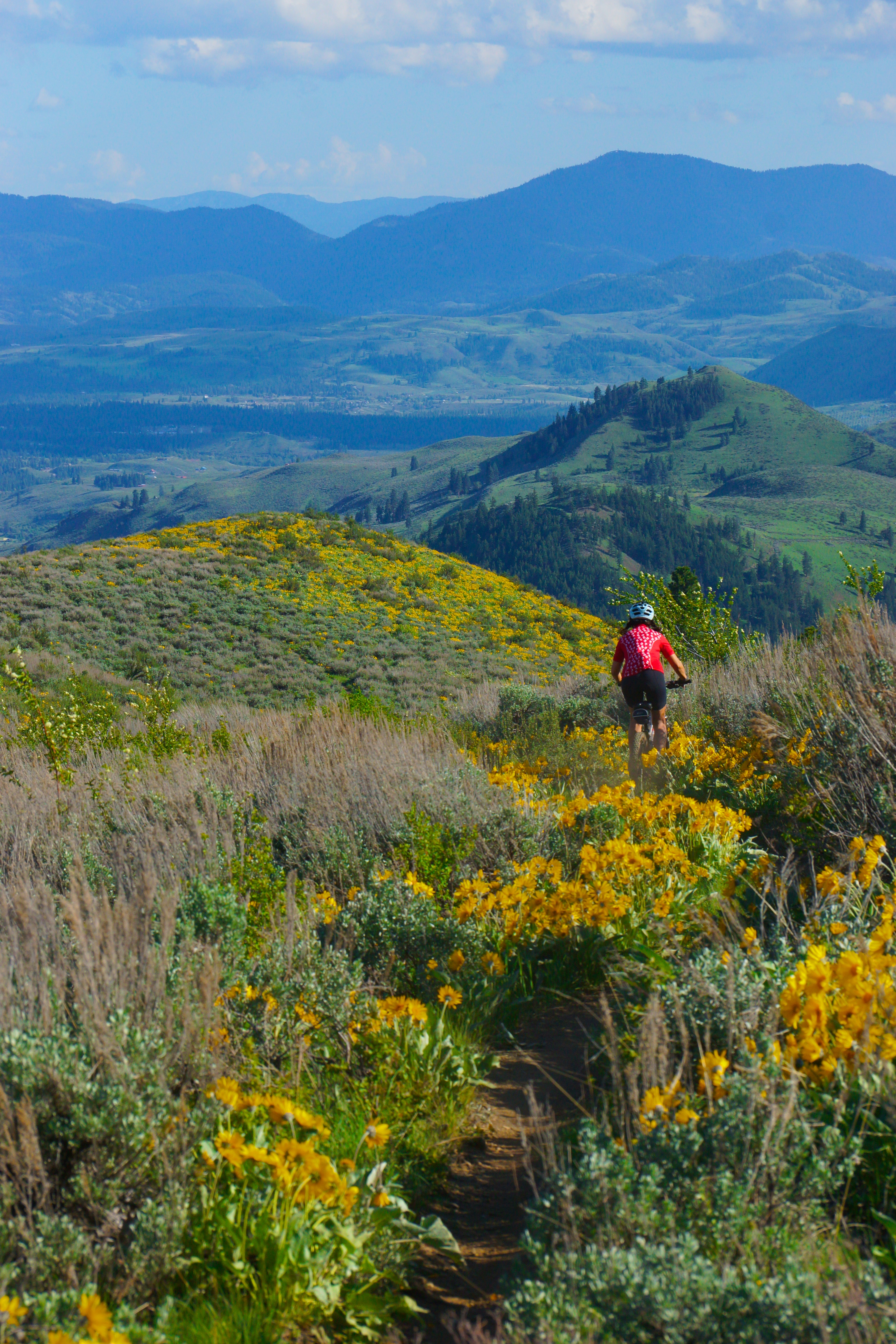
methow valley 2014

Ruby Crowned Kinglet
IMG_0460 (James photo)
methow valley 2014
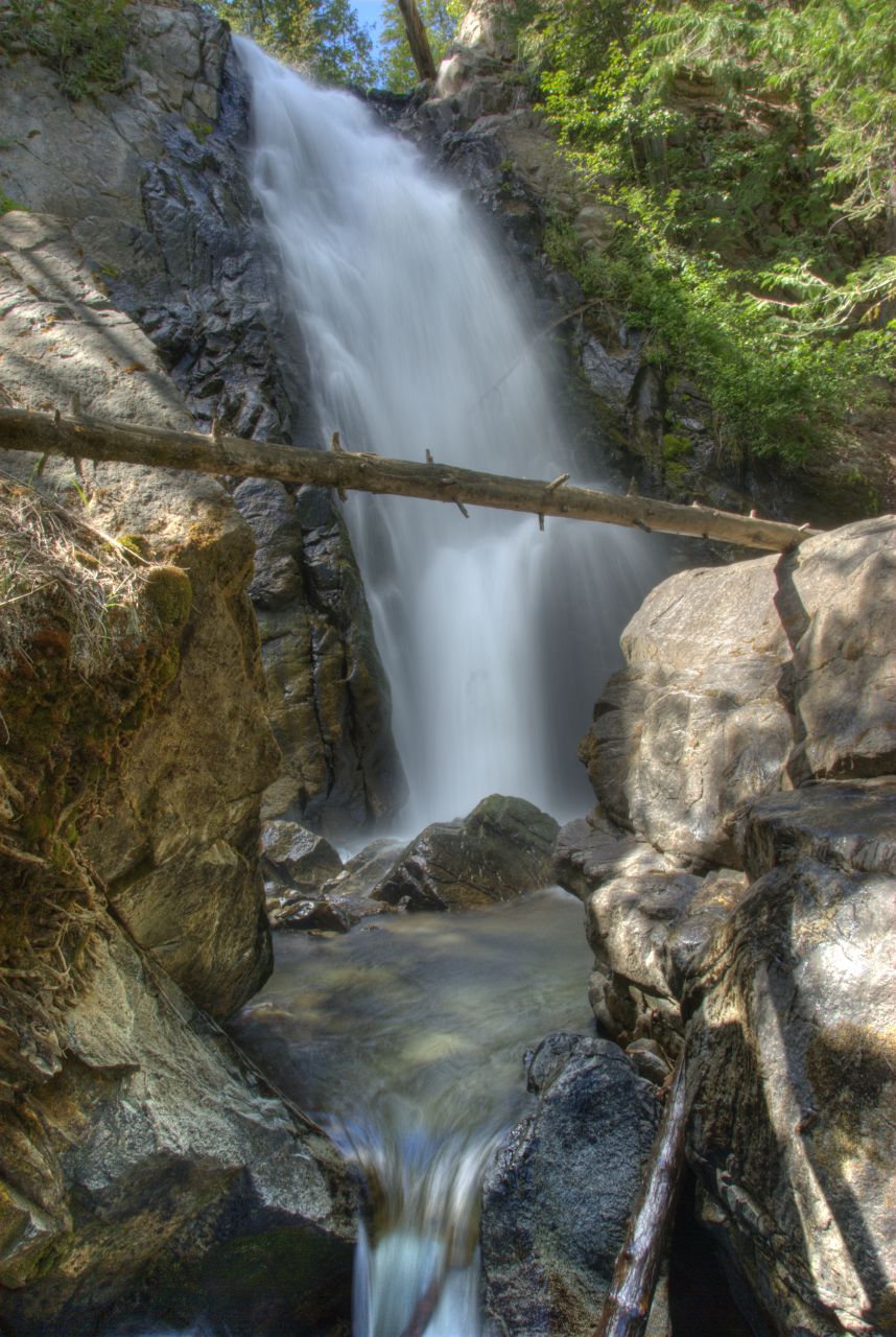
Mazama waterfall

IMG_0456 (James photo)
Winthrop Gran Fondo 8/4
happy trails

IMG_0434 (James photo)

Granite lounge
Topographic Map of Twentymile Creek, Washington, USA
Find elevation by address:

Places near Twentymile Creek, Washington, USA:
Andrews Creek Campground
Thirtymile Trailhead (recgovnpsdata)
Coleman Peak
Rock Mountain
Preston Ridge
Coleman Ridge
Corral Butte
Cal Peak
17 River Rock Rd
Long Swamp Campground
131a Studhorse Mountain Rd
447 Wister Way
Peepsight Mountain
Winthrop
Remmel Mountain
Andrew Peak
36 Appaloosa Rd
Apex Mountain
Freds Mountain
Remmel Creek
Recent Searches:
- Elevation of Corso Fratelli Cairoli, 35, Macerata MC, Italy
- Elevation of Tallevast Rd, Sarasota, FL, USA
- Elevation of 4th St E, Sonoma, CA, USA
- Elevation of Black Hollow Rd, Pennsdale, PA, USA
- Elevation of Oakland Ave, Williamsport, PA, USA
- Elevation of Pedrógão Grande, Portugal
- Elevation of Klee Dr, Martinsburg, WV, USA
- Elevation of Via Roma, Pieranica CR, Italy
- Elevation of Tavkvetili Mountain, Georgia
- Elevation of Hartfords Bluff Cir, Mt Pleasant, SC, USA