Elevation of Andrews Creek Campground, Washington, United States
Location: United States > Washington > Okanogan County >
Longitude: -120.10786
Latitude: 48.7832022
Elevation: 922m / 3025feet
Barometric Pressure: 91KPa
Elevation Map:
Satellite Map:
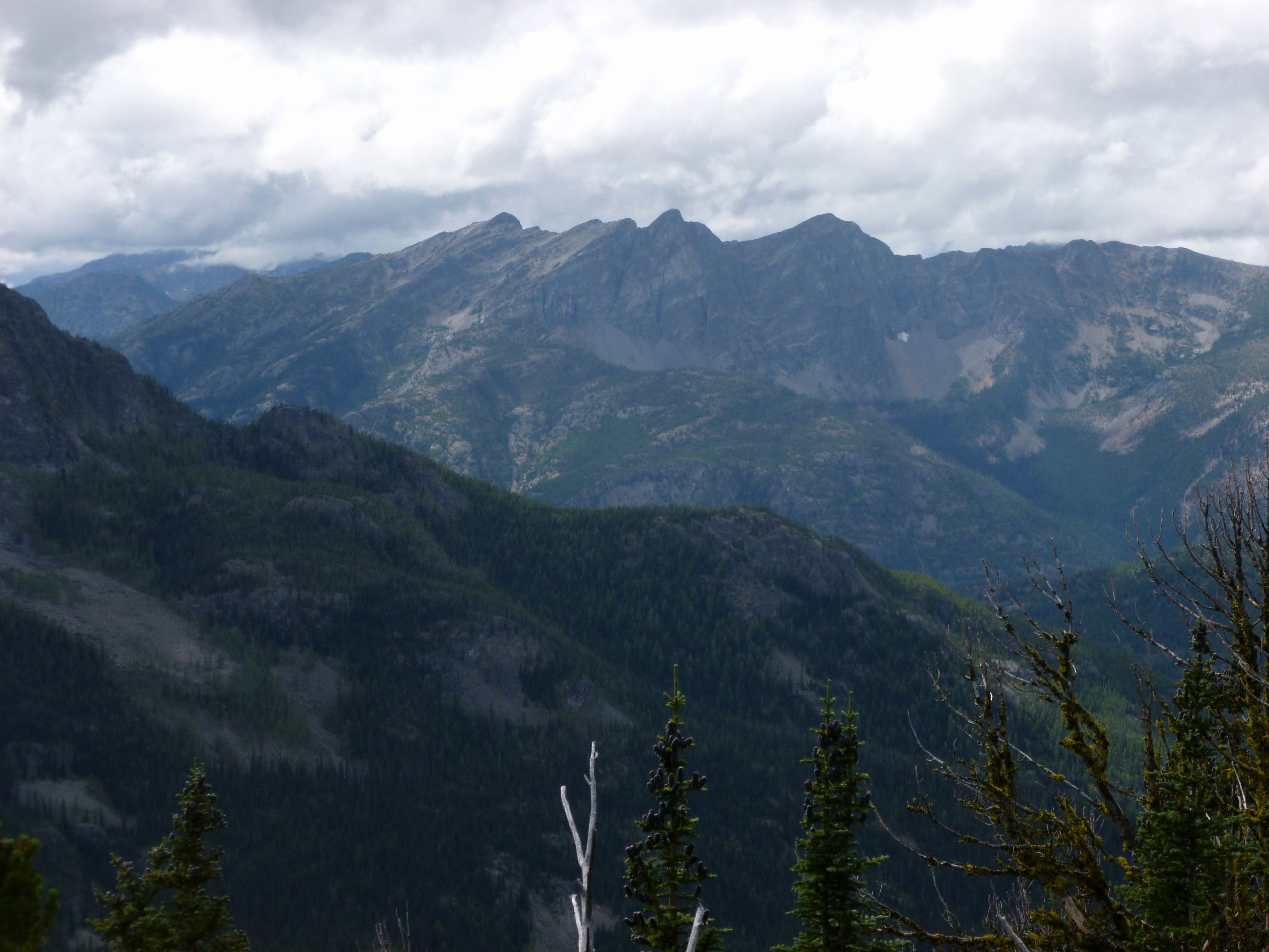
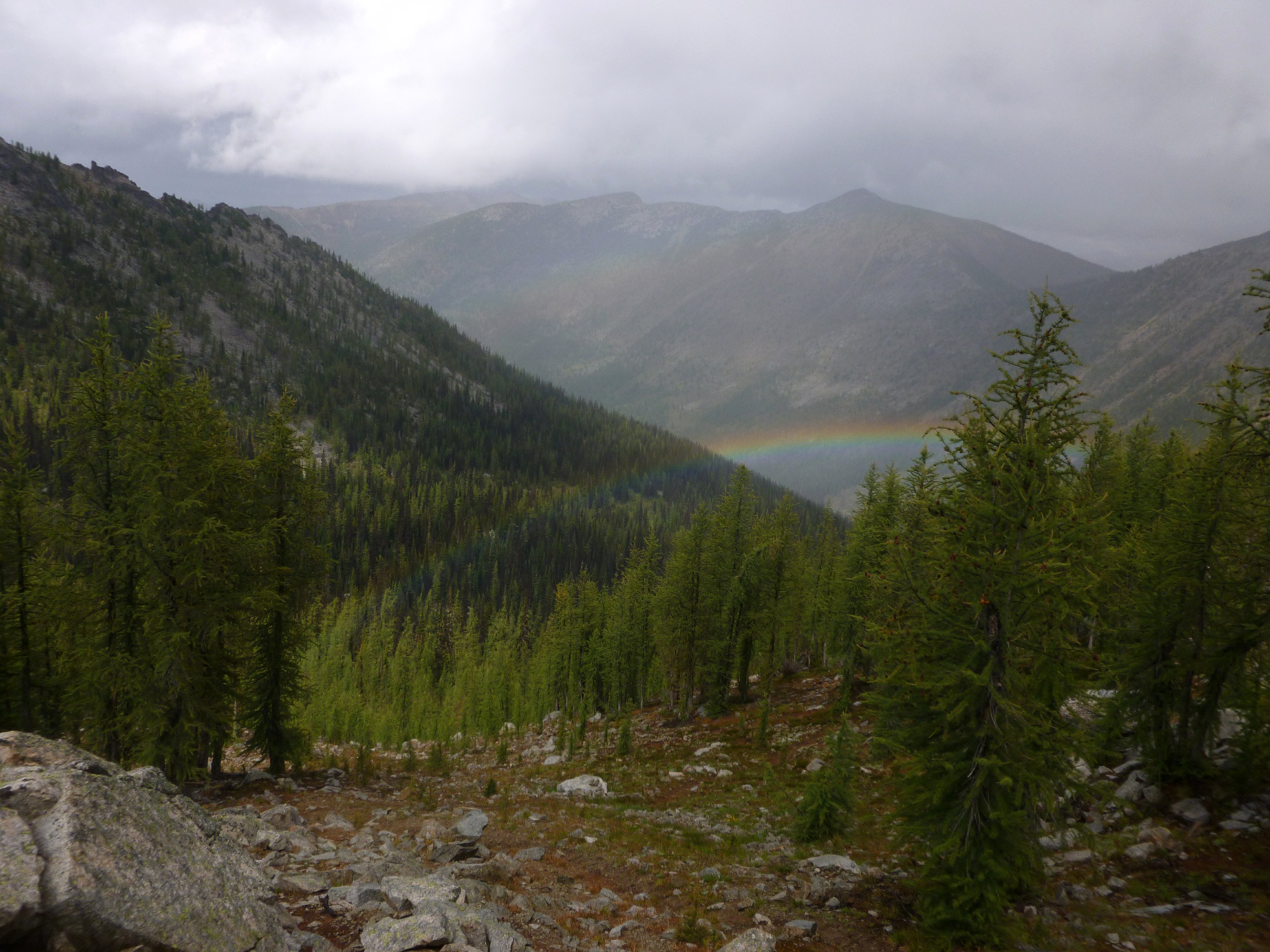
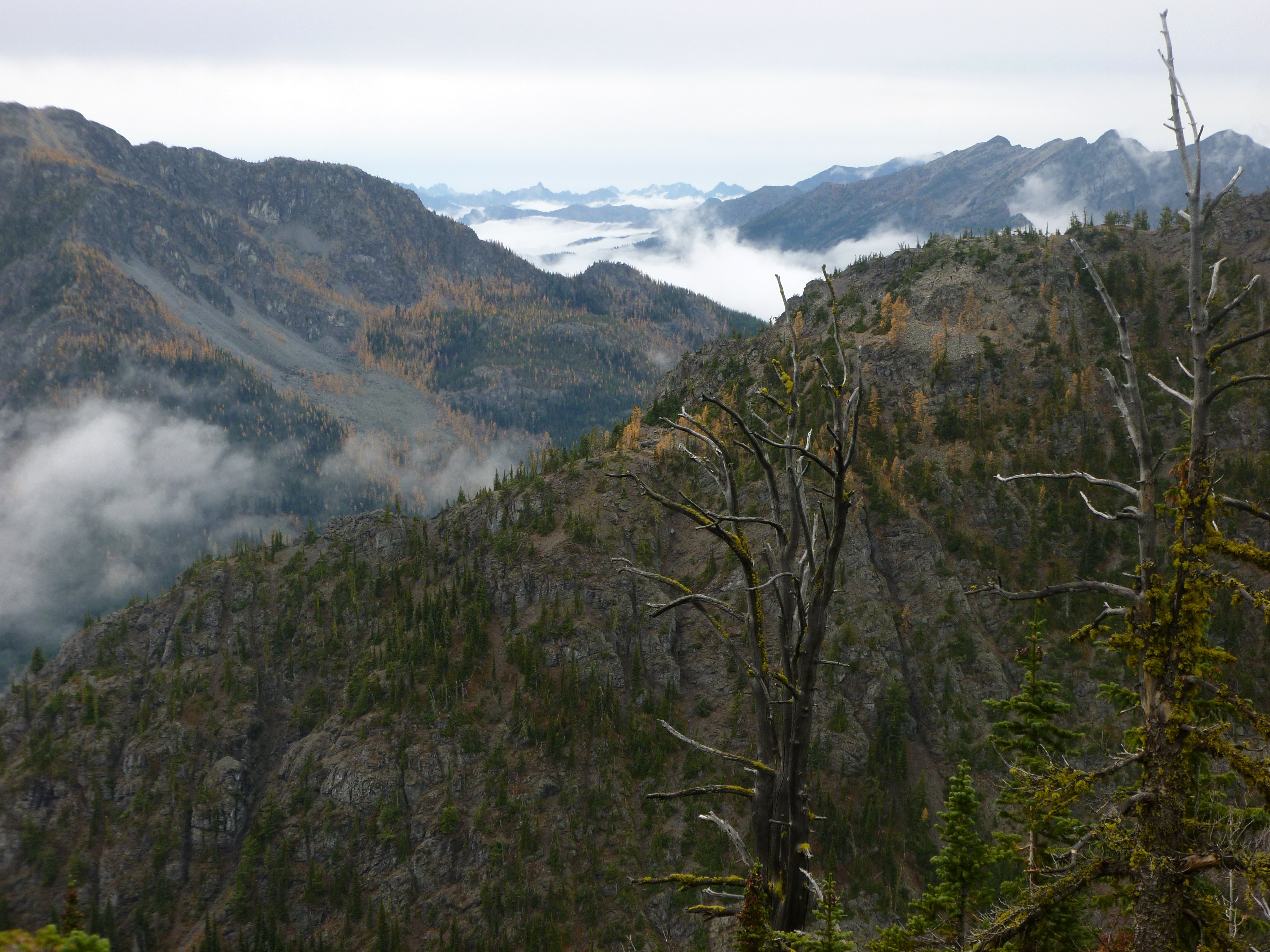
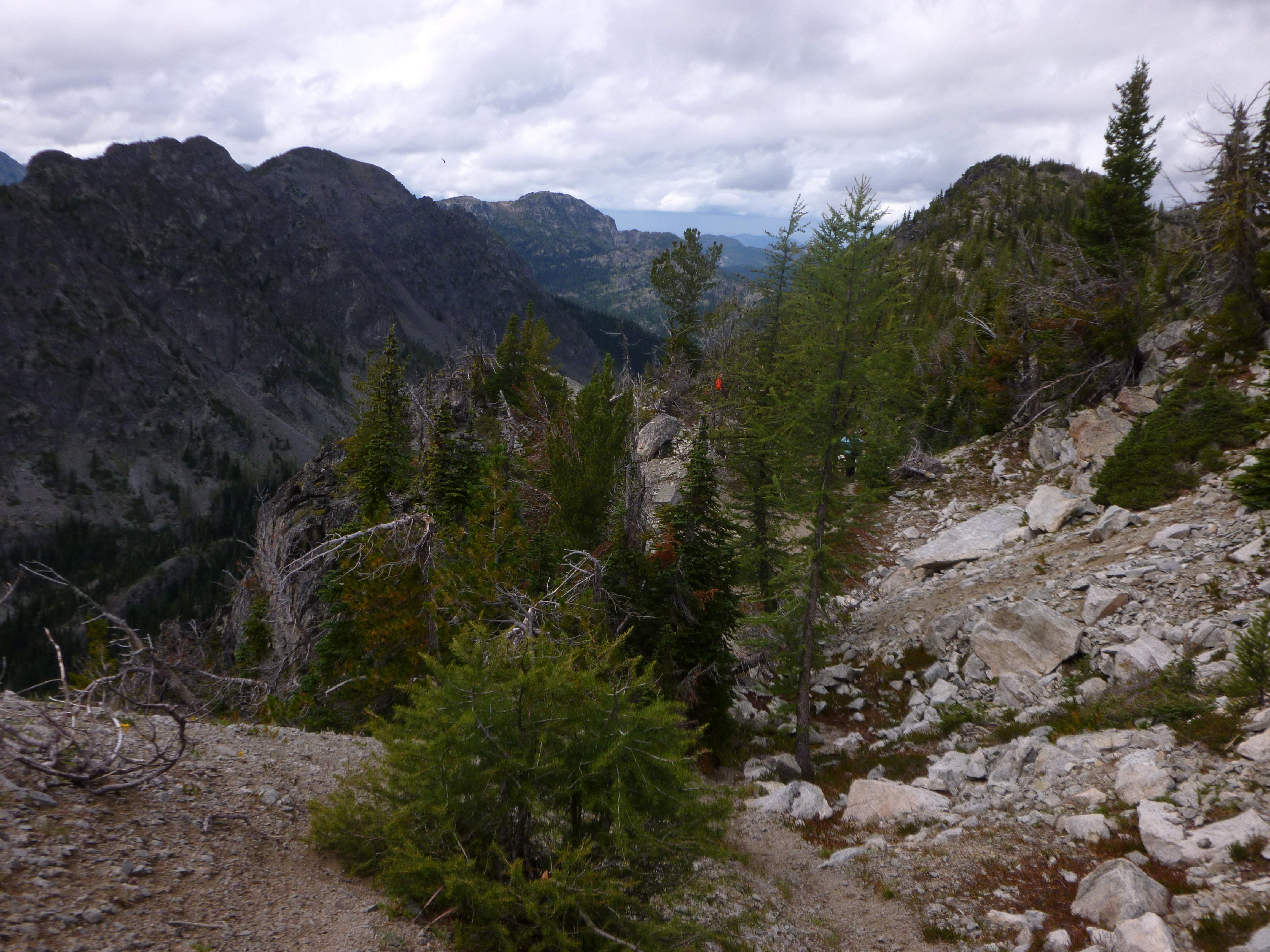
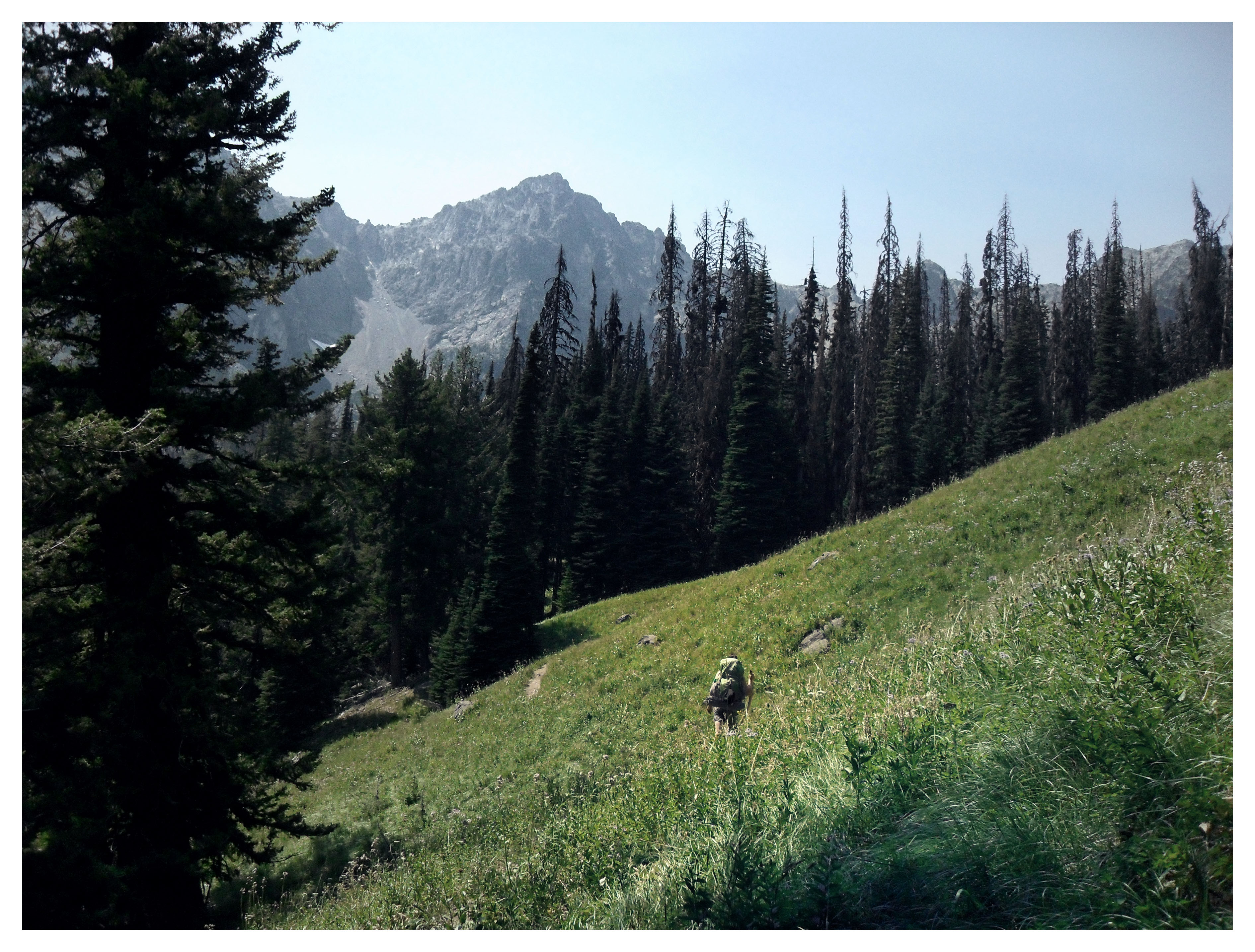
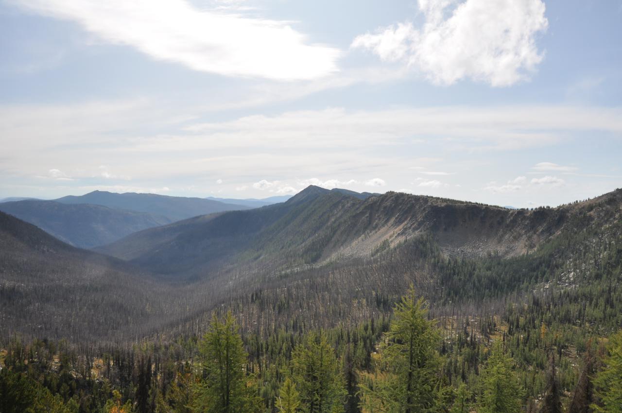
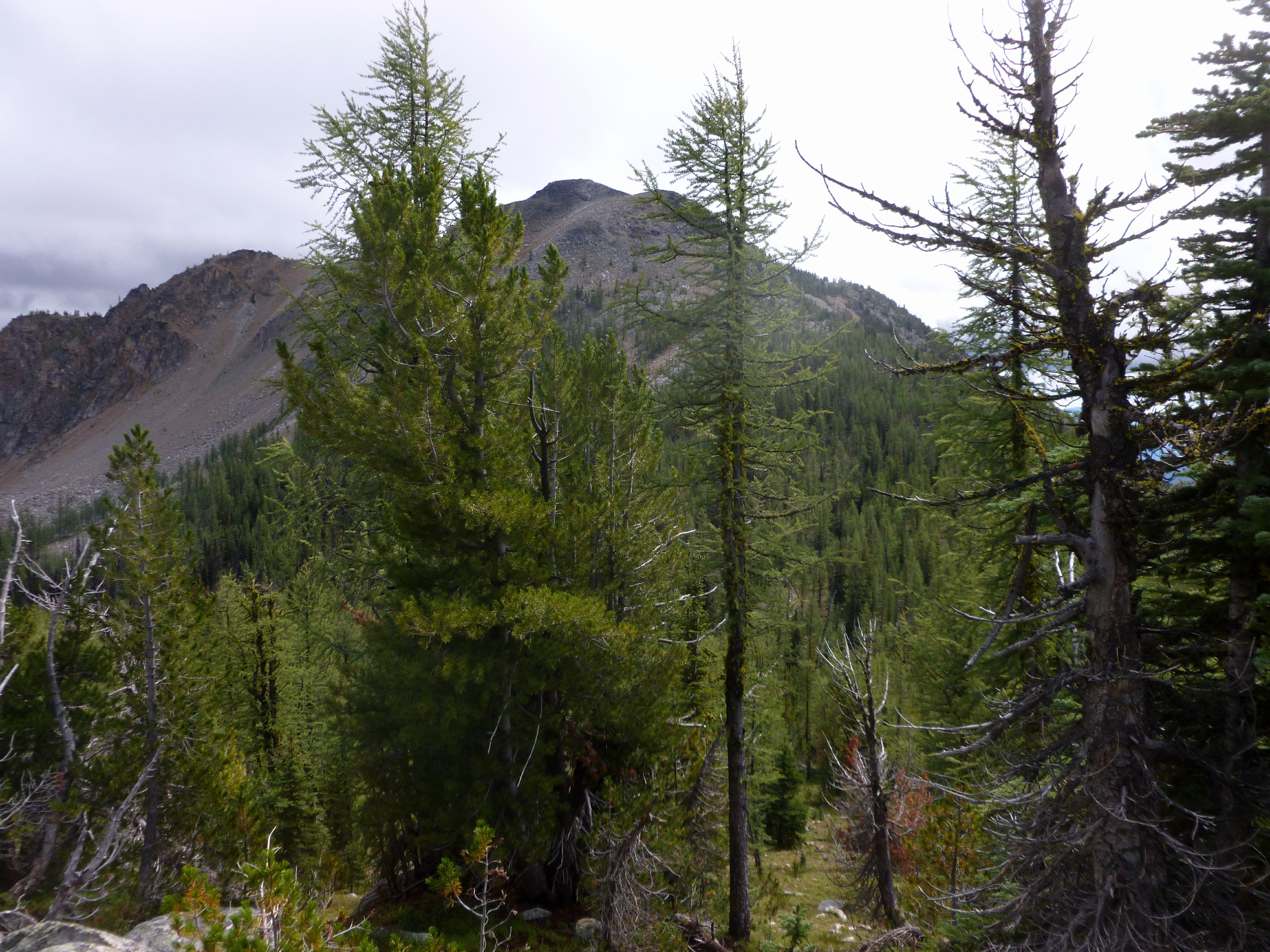
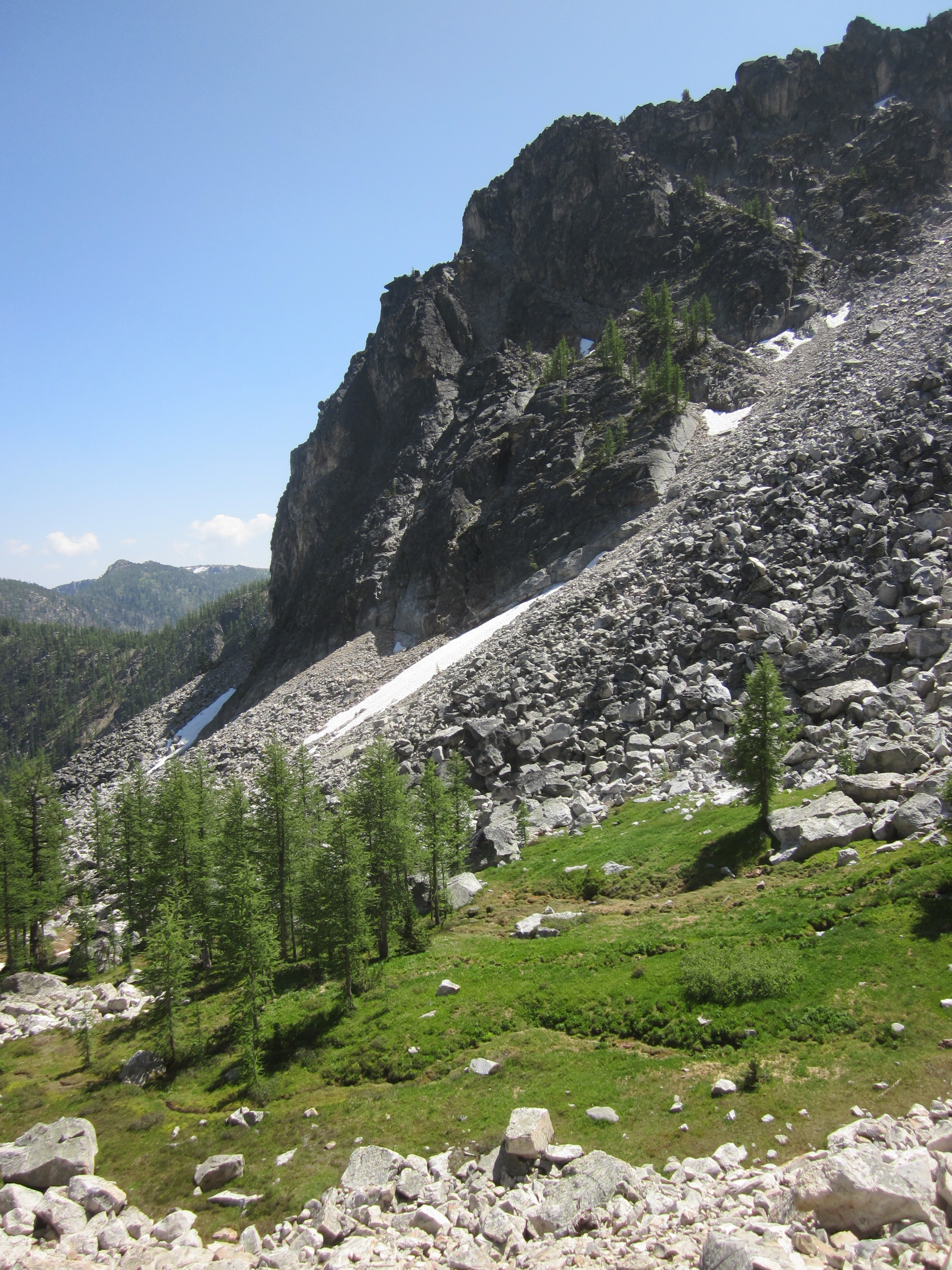
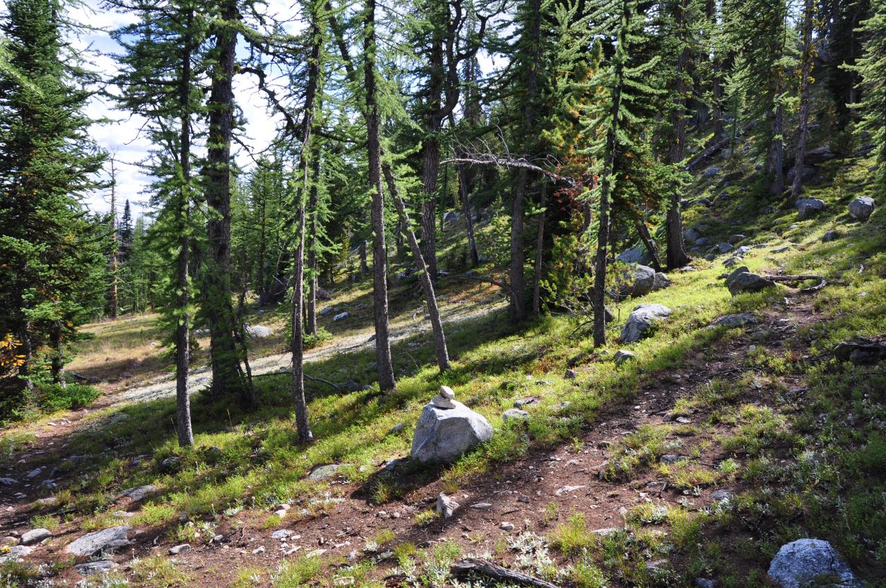
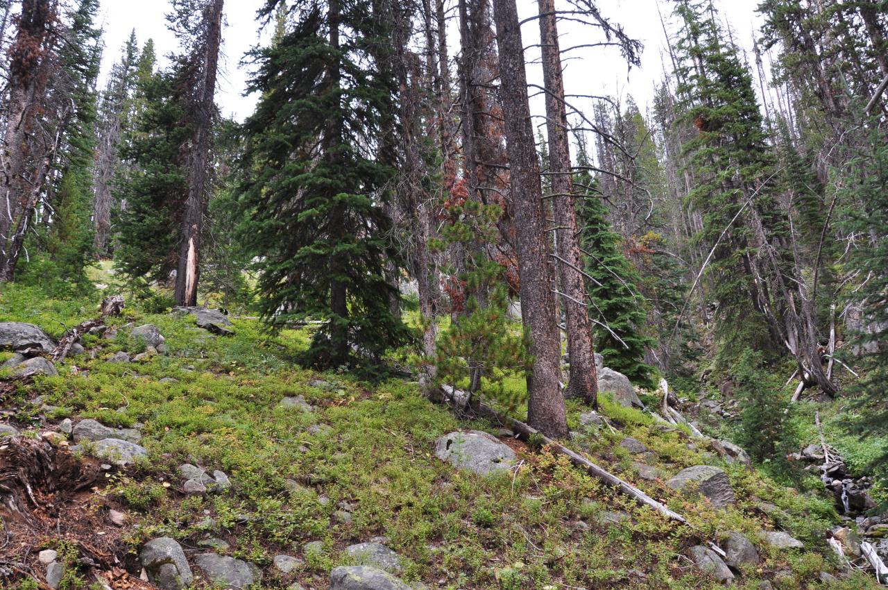
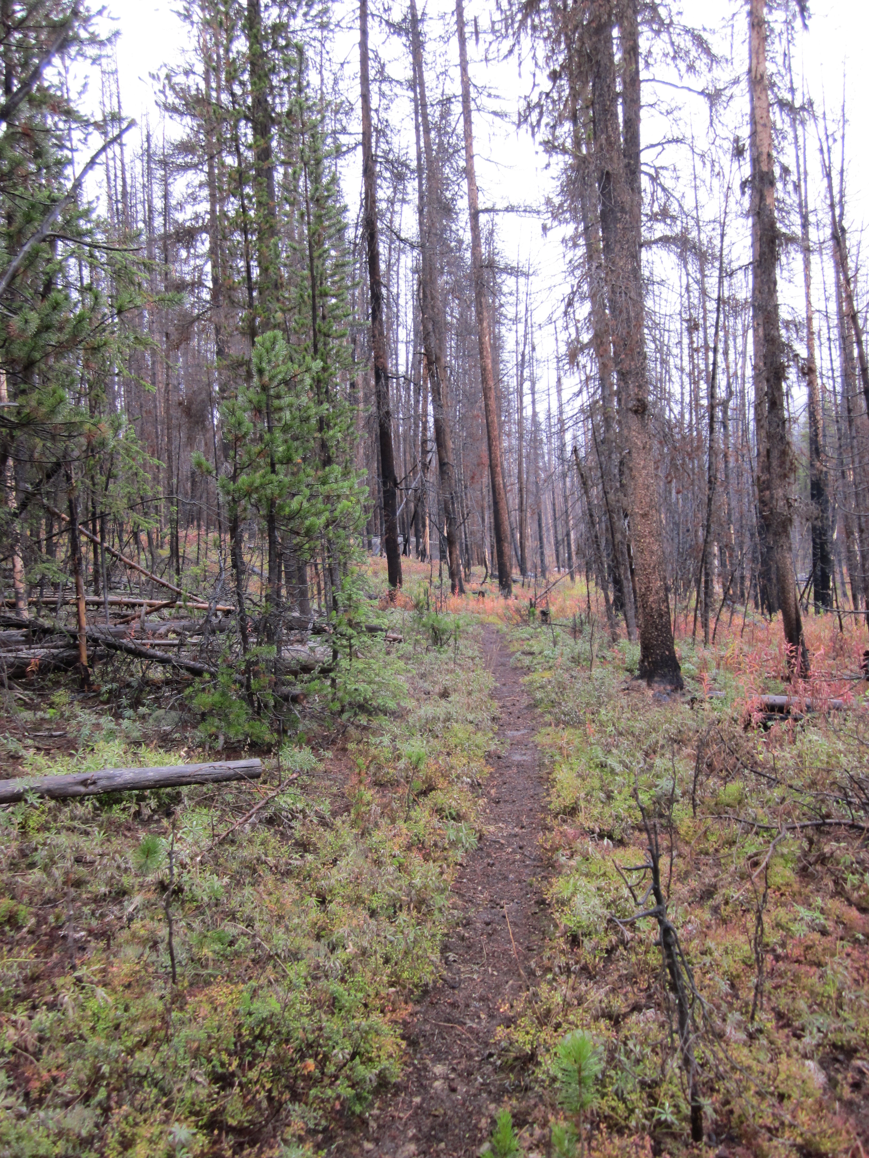
Related Photos:
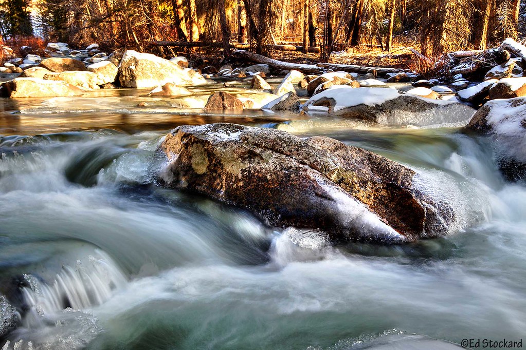
Ice Time

P1020831(1)
P1040457(1)
P1040455(1)
P1020841(1)
P1020839(1)
P1020833(1)
P1040452(1)
P1020844(1)
P1020830(1)
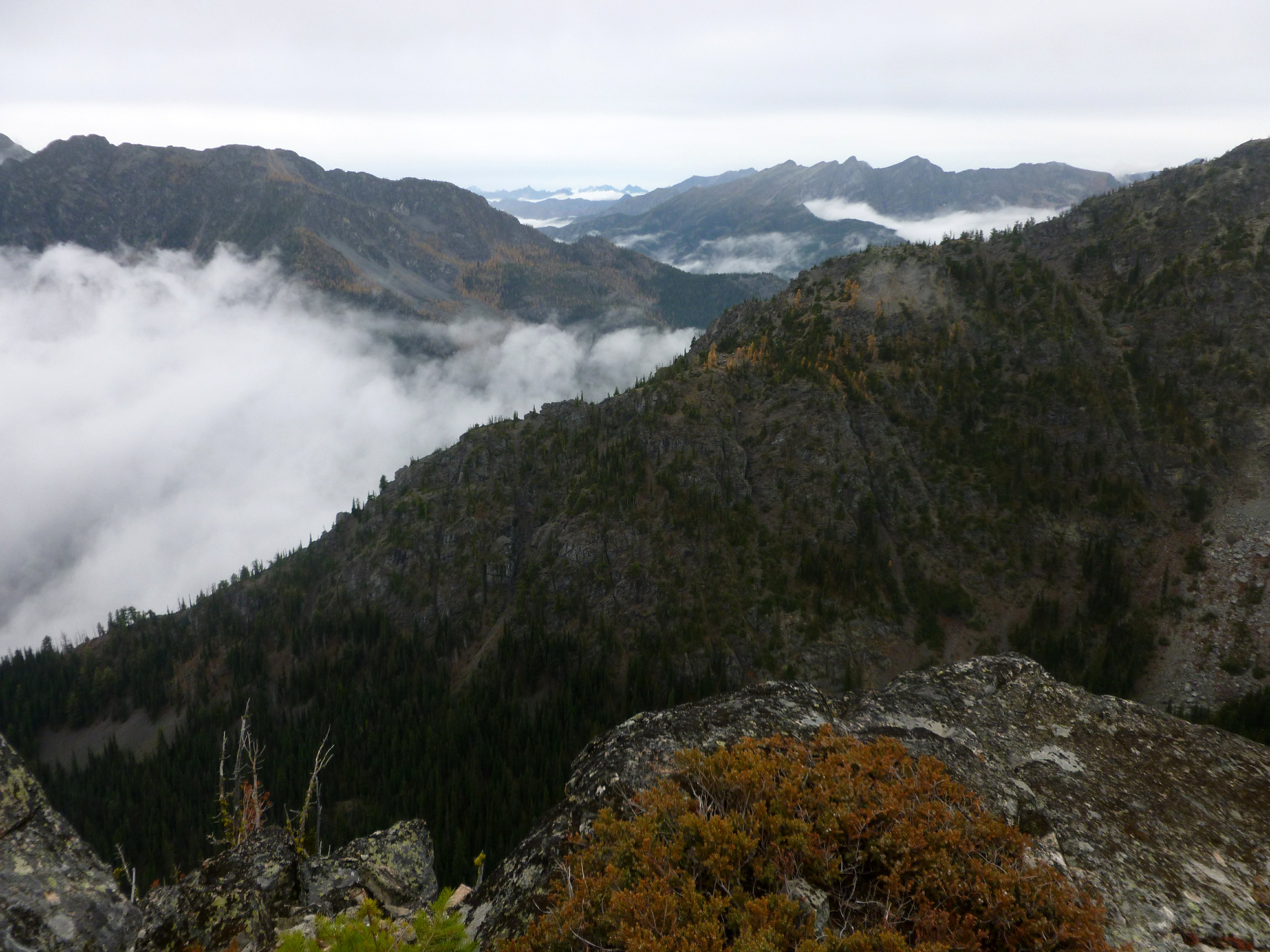
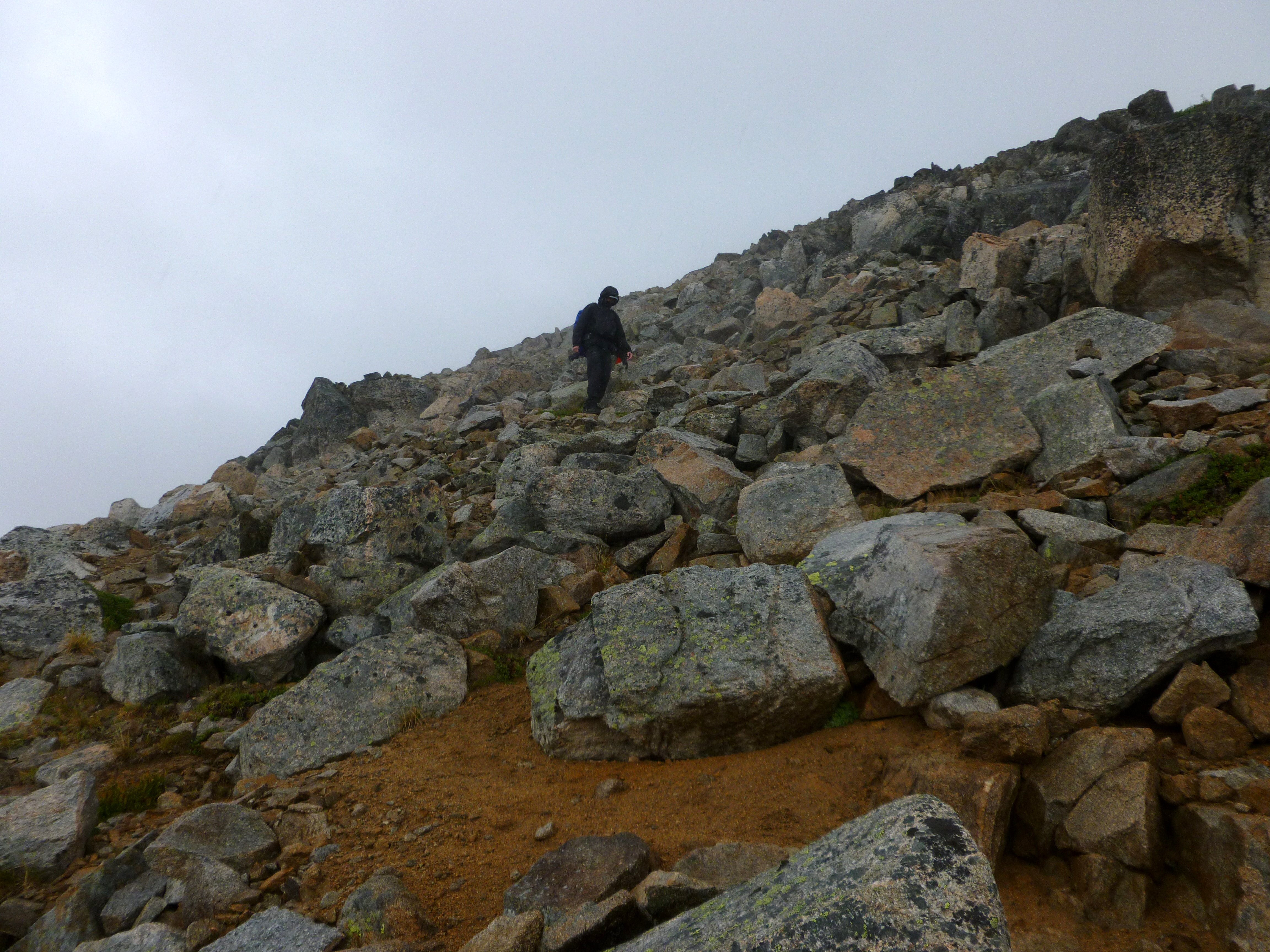
The trail heading around rib #1
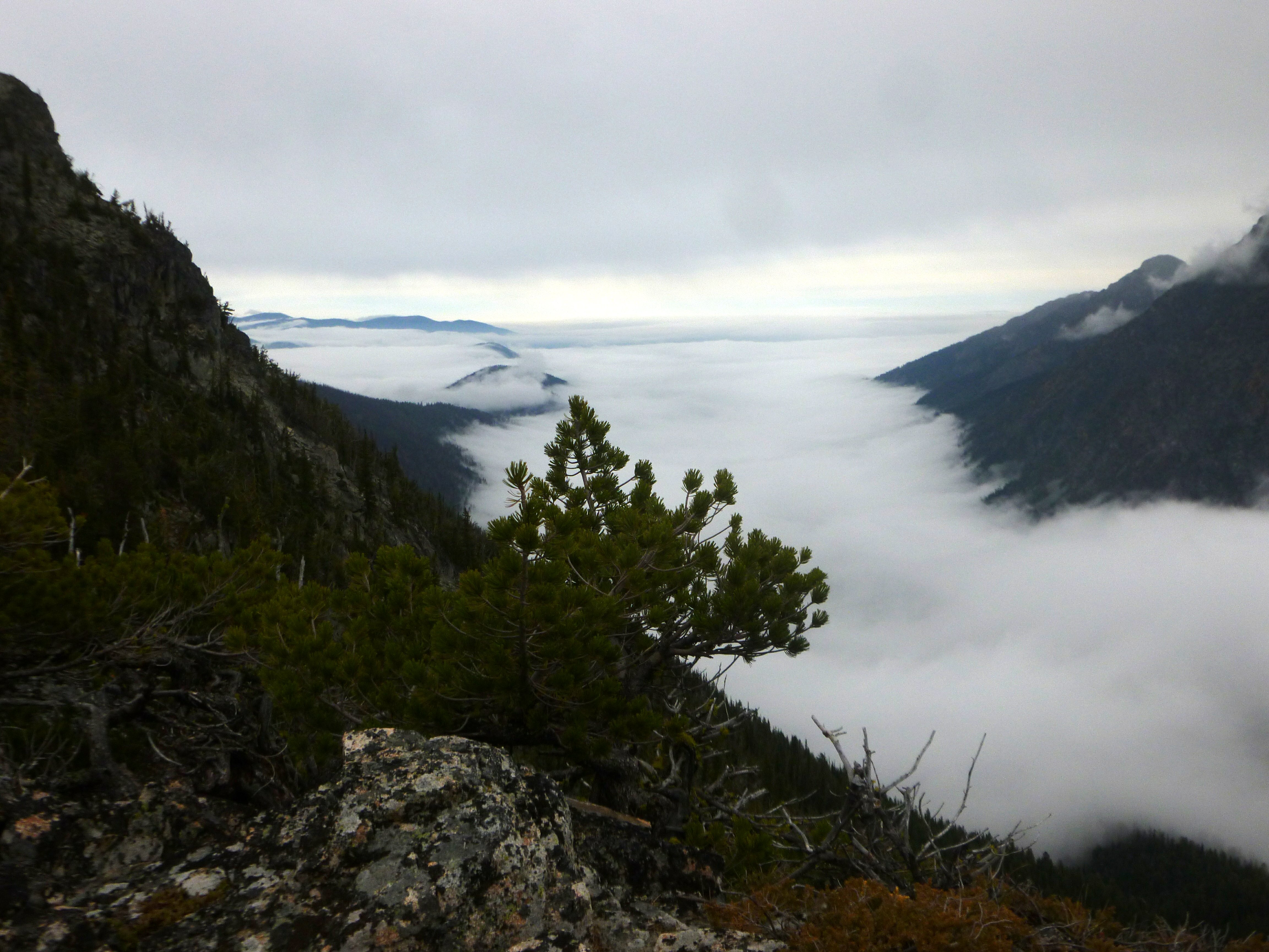
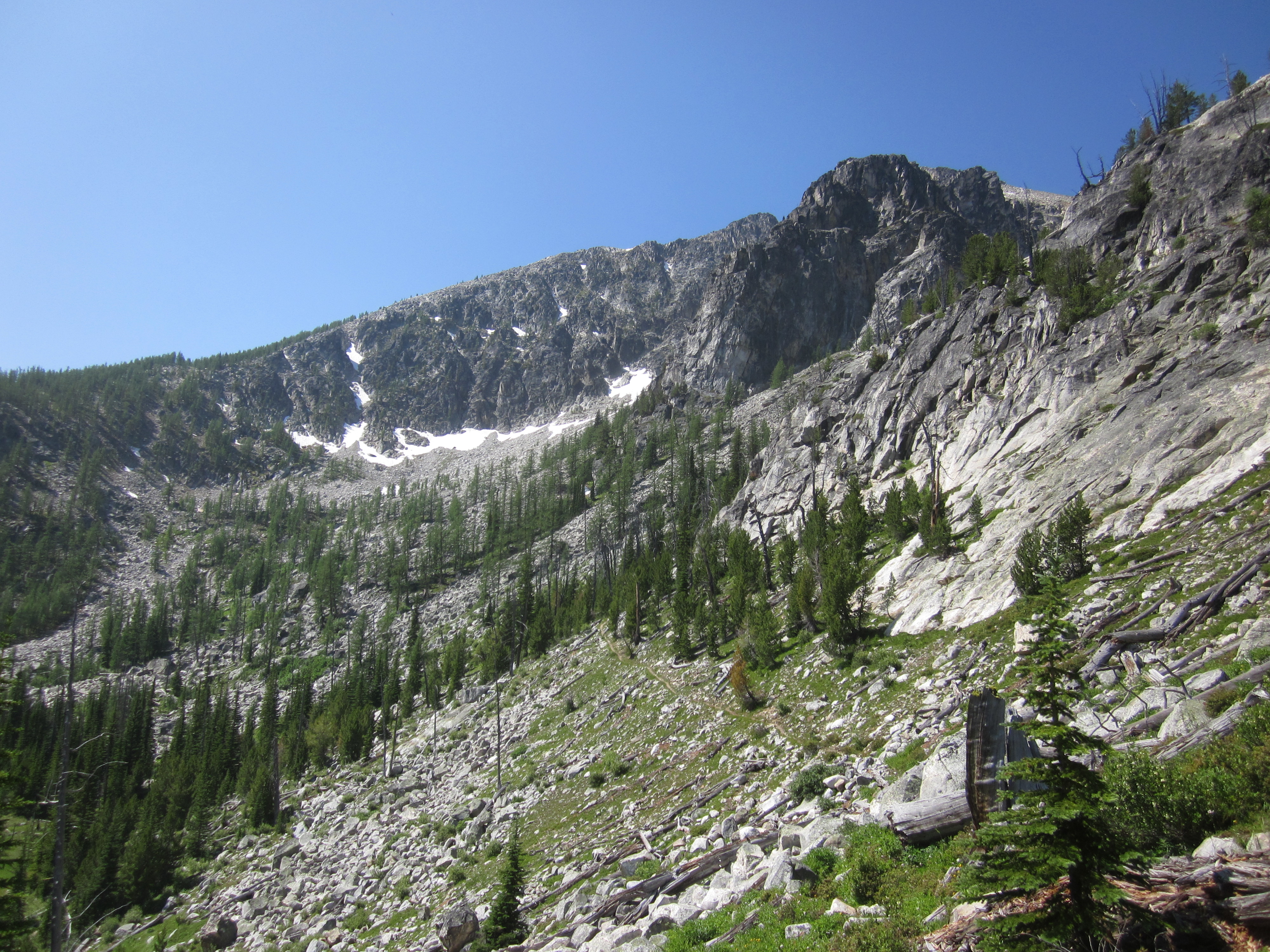
Looking into four points lake valley from ridge
P1020836(1)
happy trails
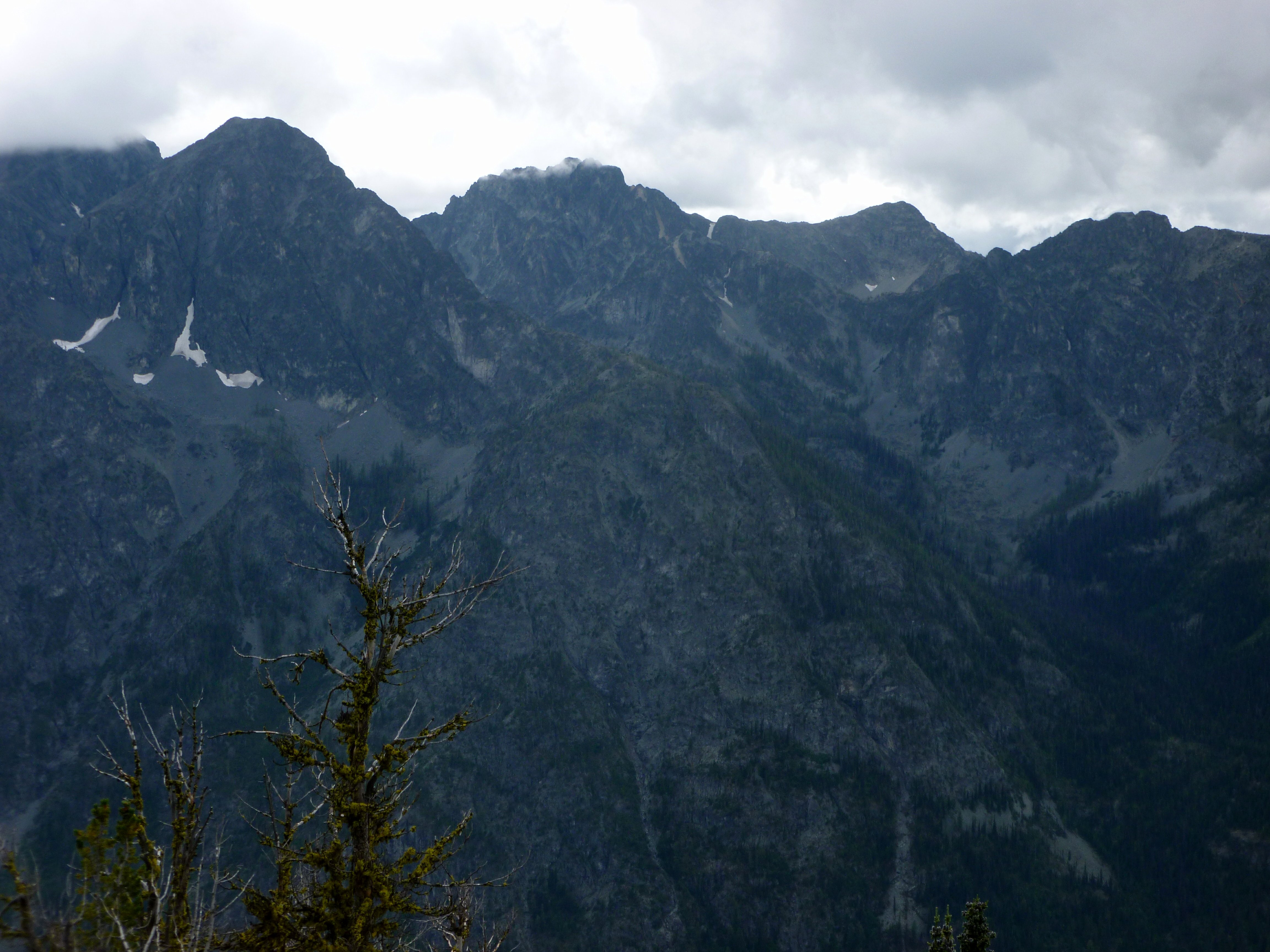
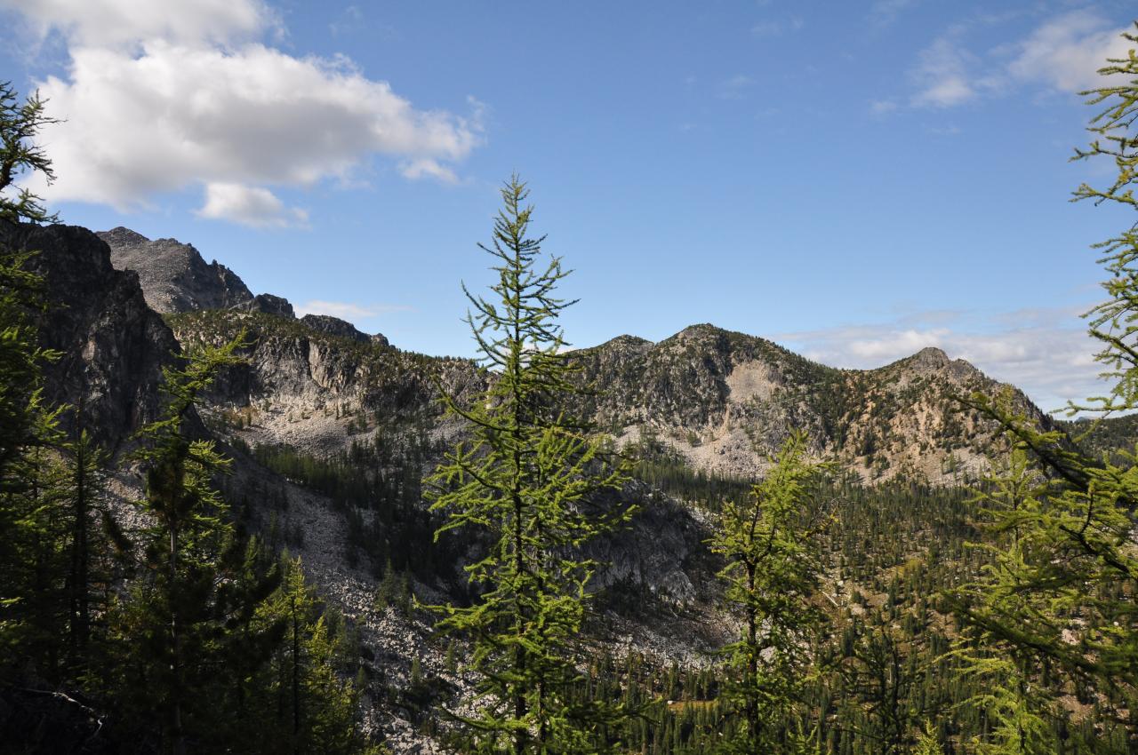
Looking west from peepsight pass
P1020825(1)
A really nice spot
Trail intersects 505 and heads up here

P1020826(1)
Bushwacking up towards Four Point lake
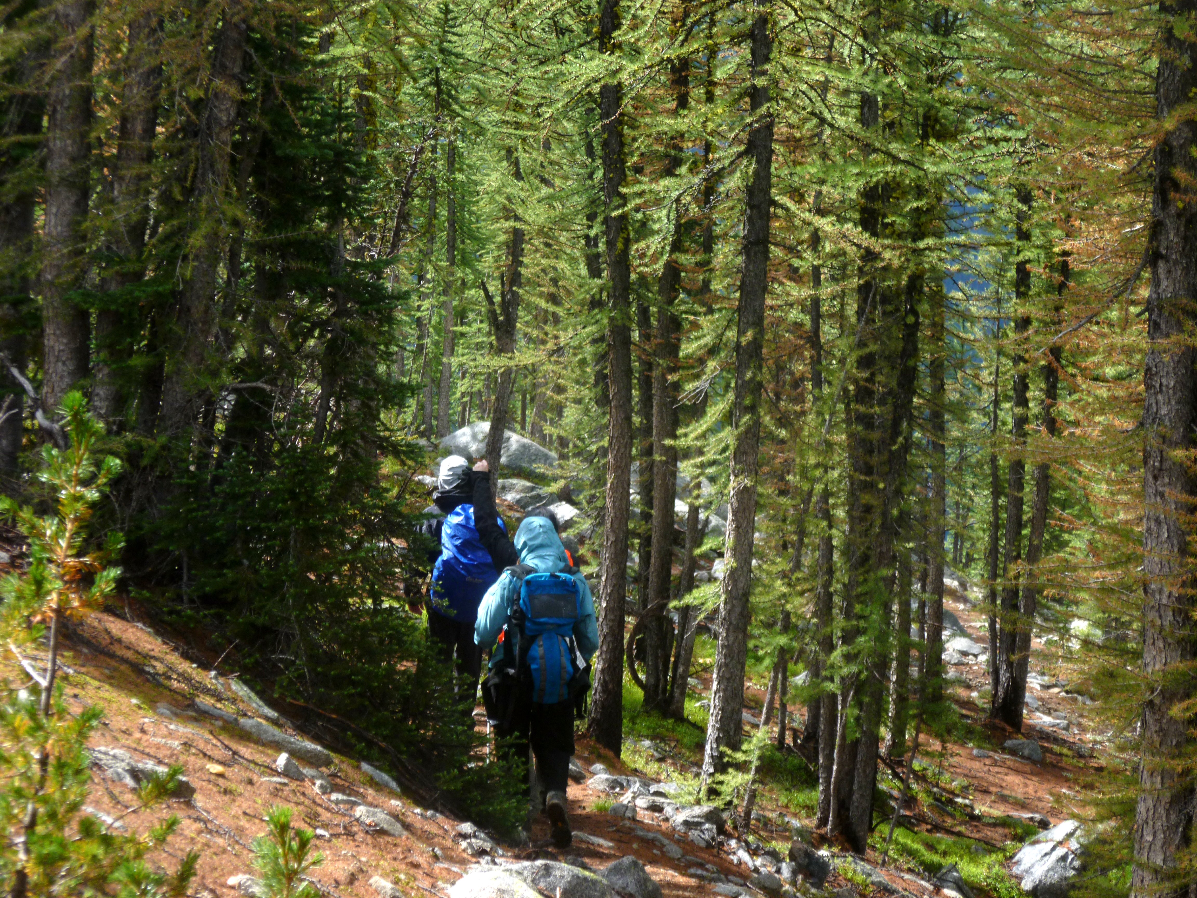
Burned trees and turning leaves were the theme for the day
Topographic Map of Andrews Creek Campground, Washington, United States
Find elevation by address:

Places near Andrews Creek Campground, Washington, United States:
Coleman Peak
Twentymile Creek
Thirtymile Trailhead (recgovnpsdata)
Coleman Ridge
Cal Peak
Preston Ridge
Remmel Mountain
Corral Butte
Peepsight Mountain
Long Swamp Campground
Apex Mountain
Andrew Peak
Remmel Creek
Apex Pass
Remmel Lake
Freds Mountain
Wolframite Mountain
Amphitheater Mountain
Rock Mountain
Cathedral Peak
Recent Searches:
- Elevation of Corso Fratelli Cairoli, 35, Macerata MC, Italy
- Elevation of Tallevast Rd, Sarasota, FL, USA
- Elevation of 4th St E, Sonoma, CA, USA
- Elevation of Black Hollow Rd, Pennsdale, PA, USA
- Elevation of Oakland Ave, Williamsport, PA, USA
- Elevation of Pedrógão Grande, Portugal
- Elevation of Klee Dr, Martinsburg, WV, USA
- Elevation of Via Roma, Pieranica CR, Italy
- Elevation of Tavkvetili Mountain, Georgia
- Elevation of Hartfords Bluff Cir, Mt Pleasant, SC, USA