Elevation of York County, NE, USA
Location: United States > Nebraska >
Longitude: -97.5247243
Latitude: 40.7941448
Elevation: 495m / 1624feet
Barometric Pressure: 0KPa
Related Photos:
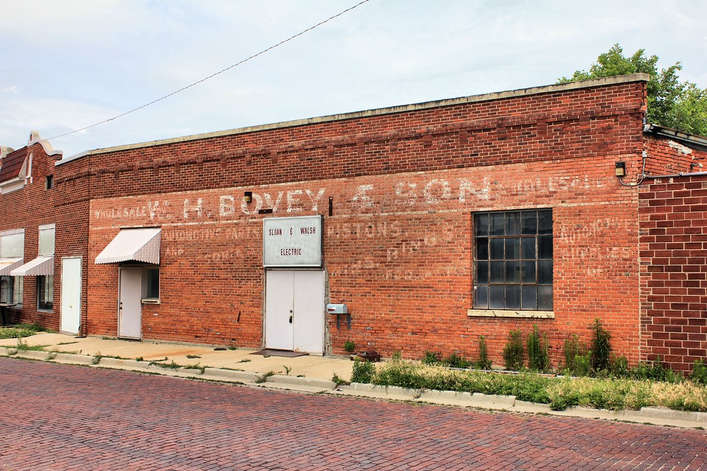
W.H. Bovey & Son Building (side view) - York, NE
courthouse-tint1200
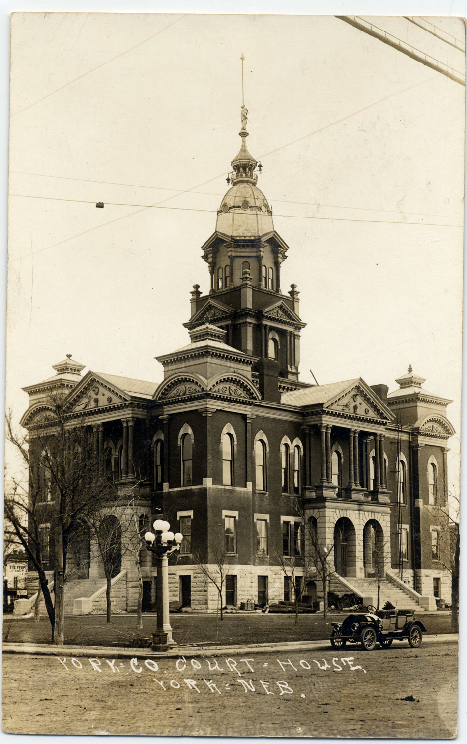
courthouse-nw950
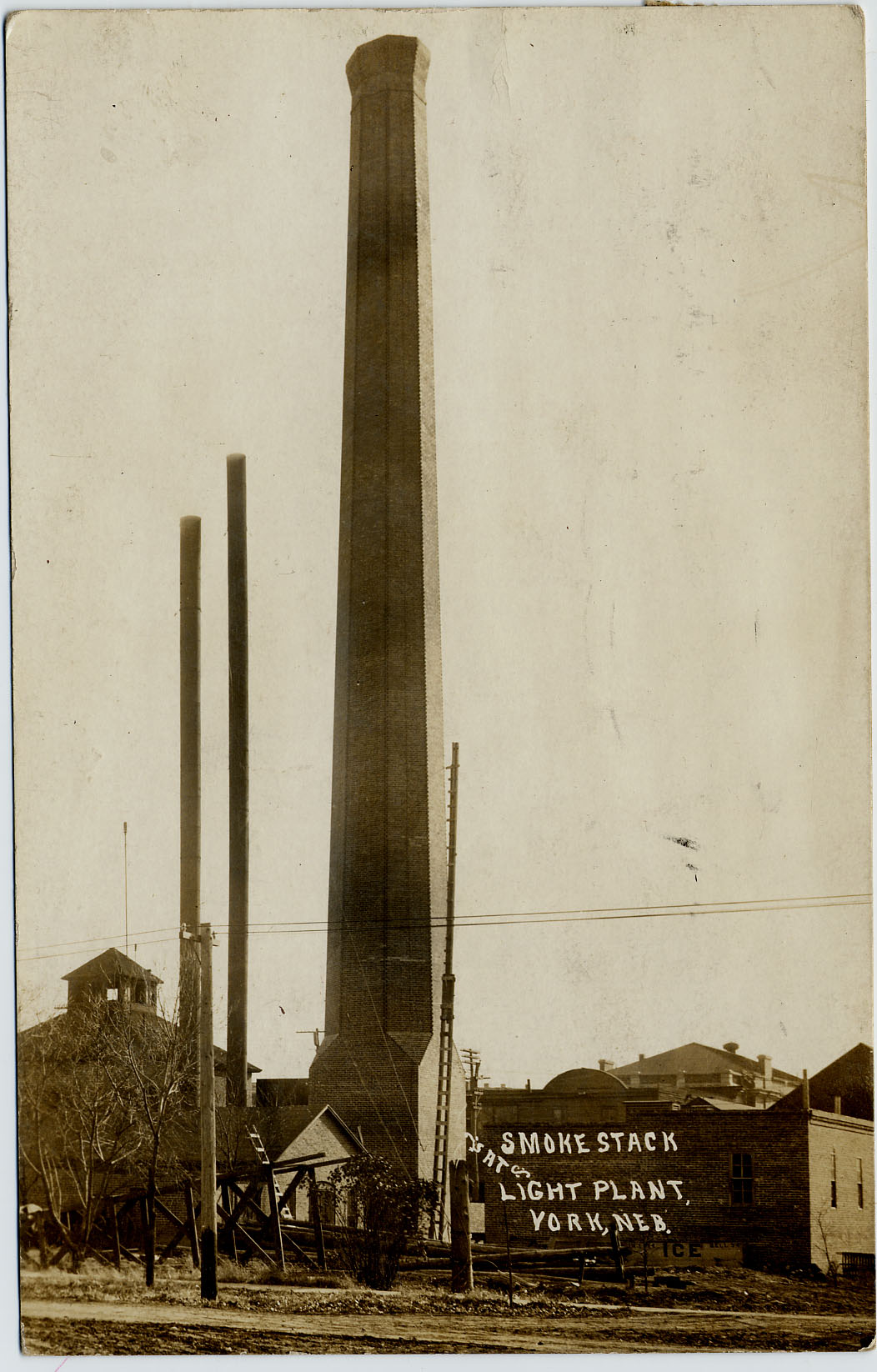
Light-Plant_Smokestack-b
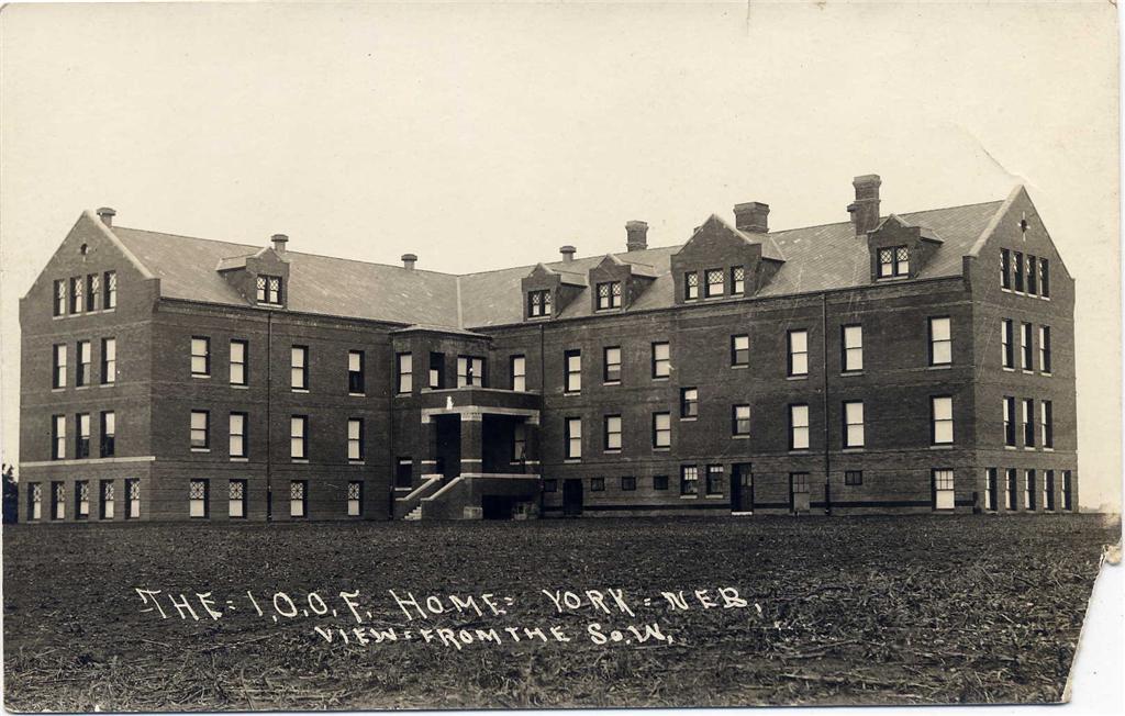
I.O.O.F._home_backside
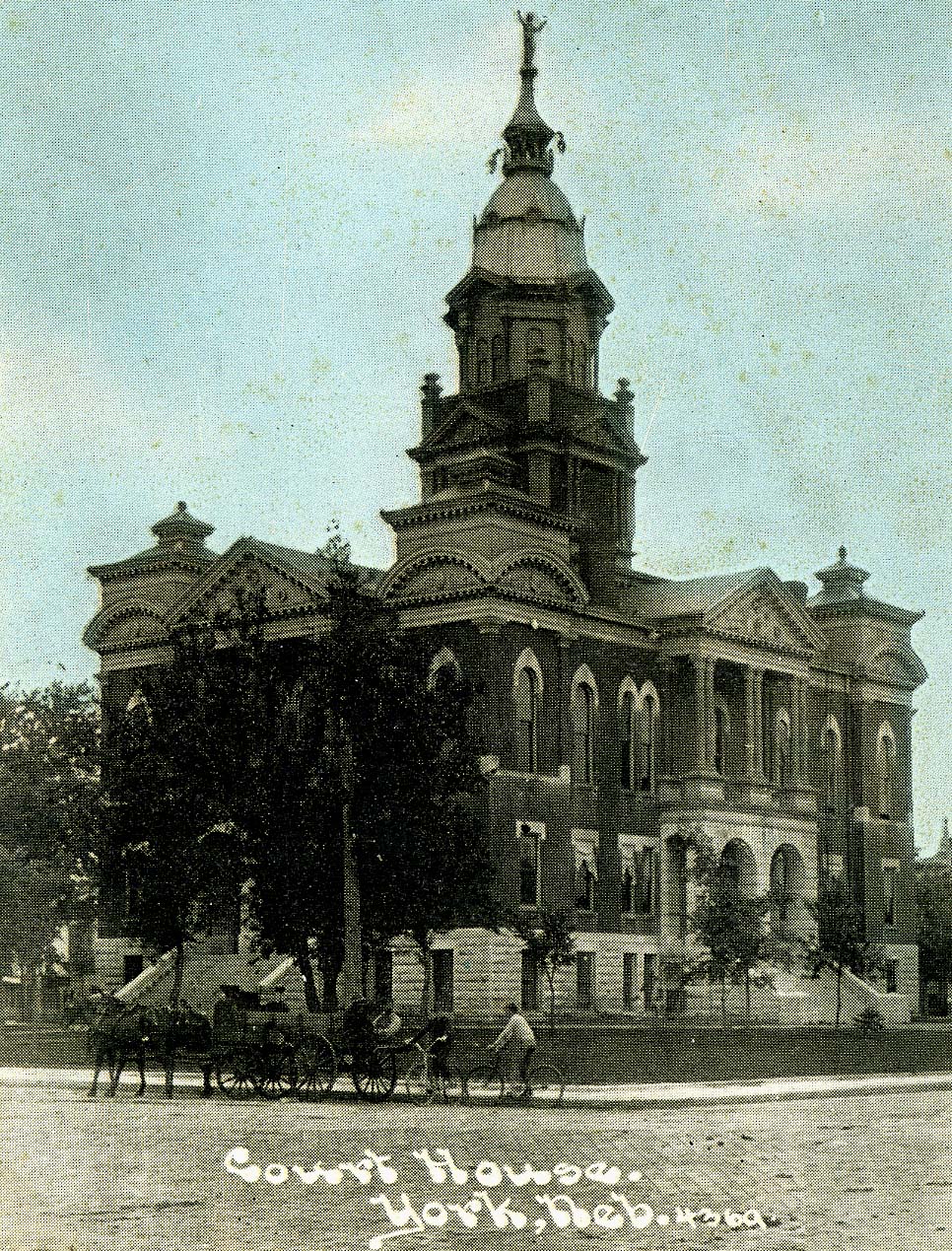
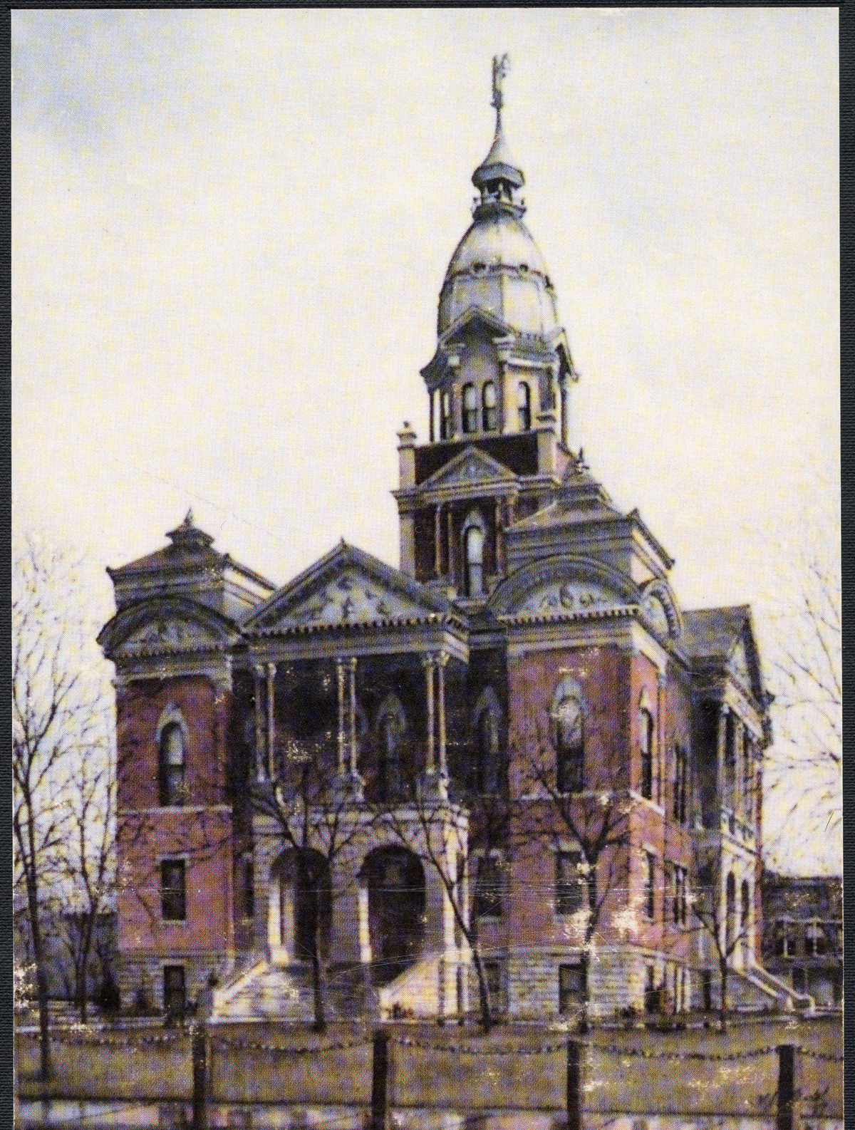
Court-House_colorized

More Help
Scan 05
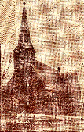
St._Joseph_Church
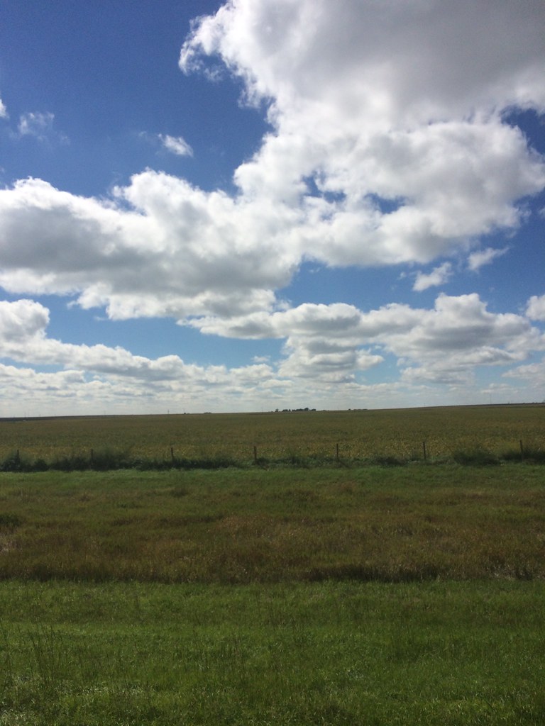
Flat Country

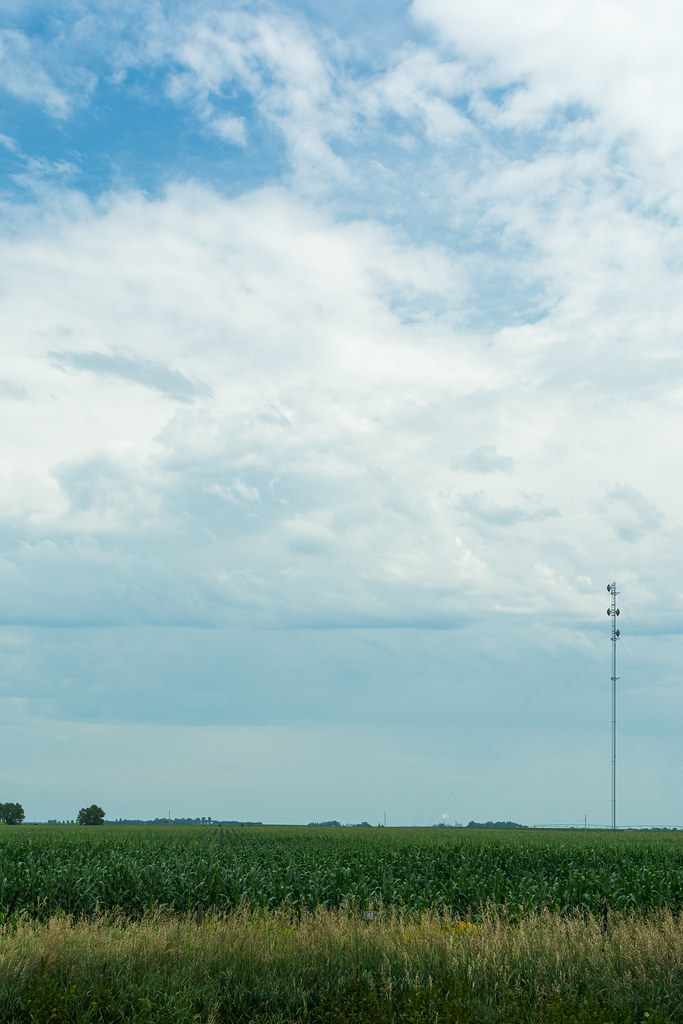
Corn field in Nebraska
Nebraska .
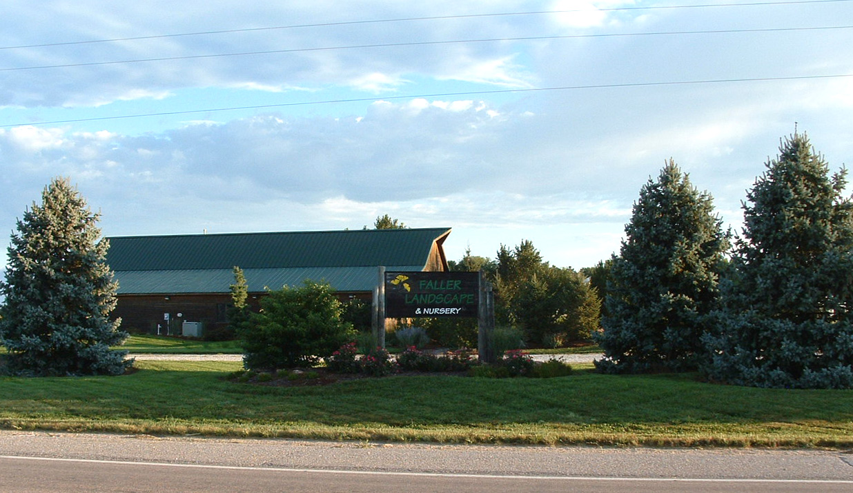
Nebraska, York -- Faller Landscape

Figure "8" Race. Nostalgic good times. #familyfirst

Cottonwood split
CIMG0011.jpg

HIP_315093629.862257
05. Nebraska countryside
04. Nebraska countryside
06. Nebraska farmfield
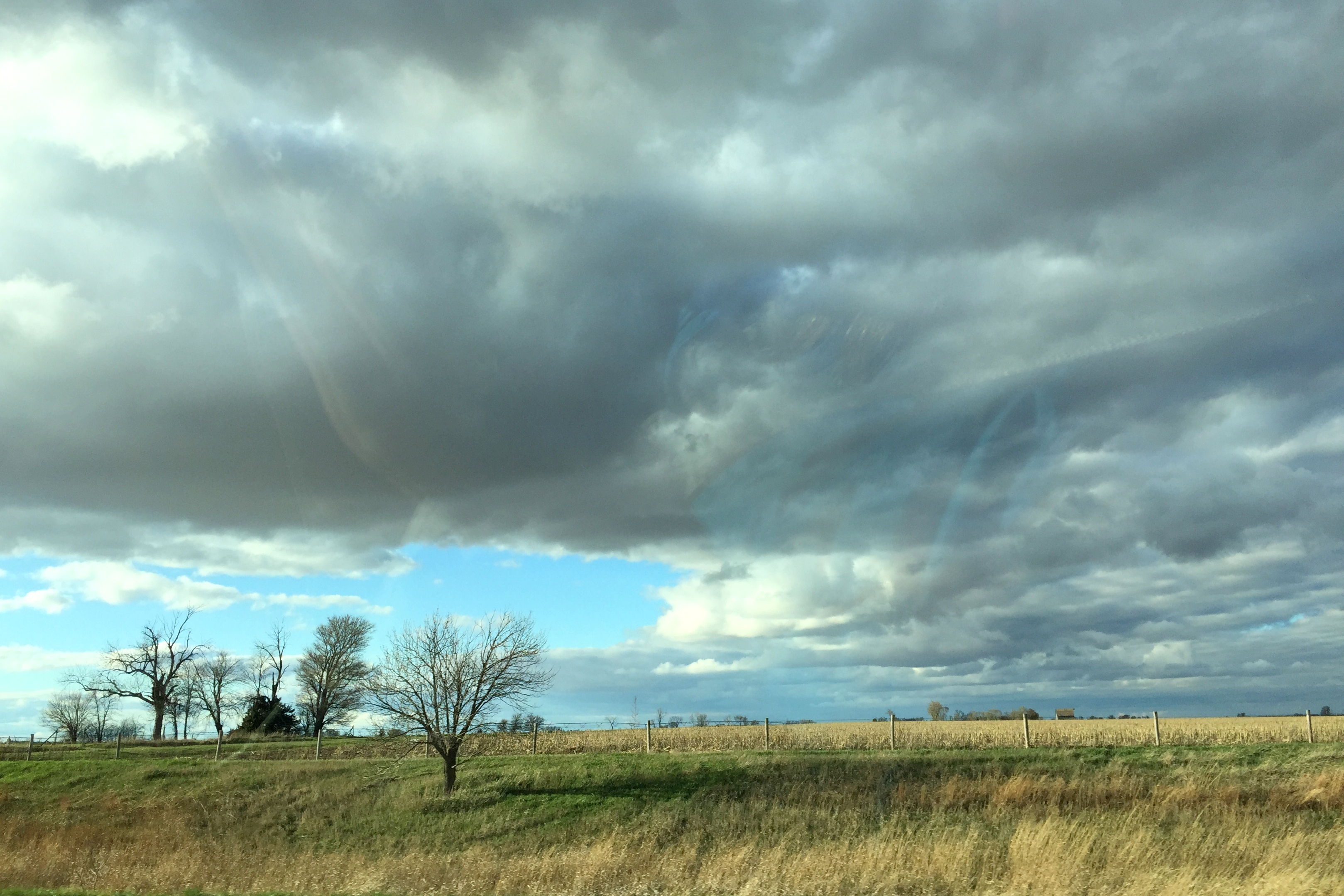
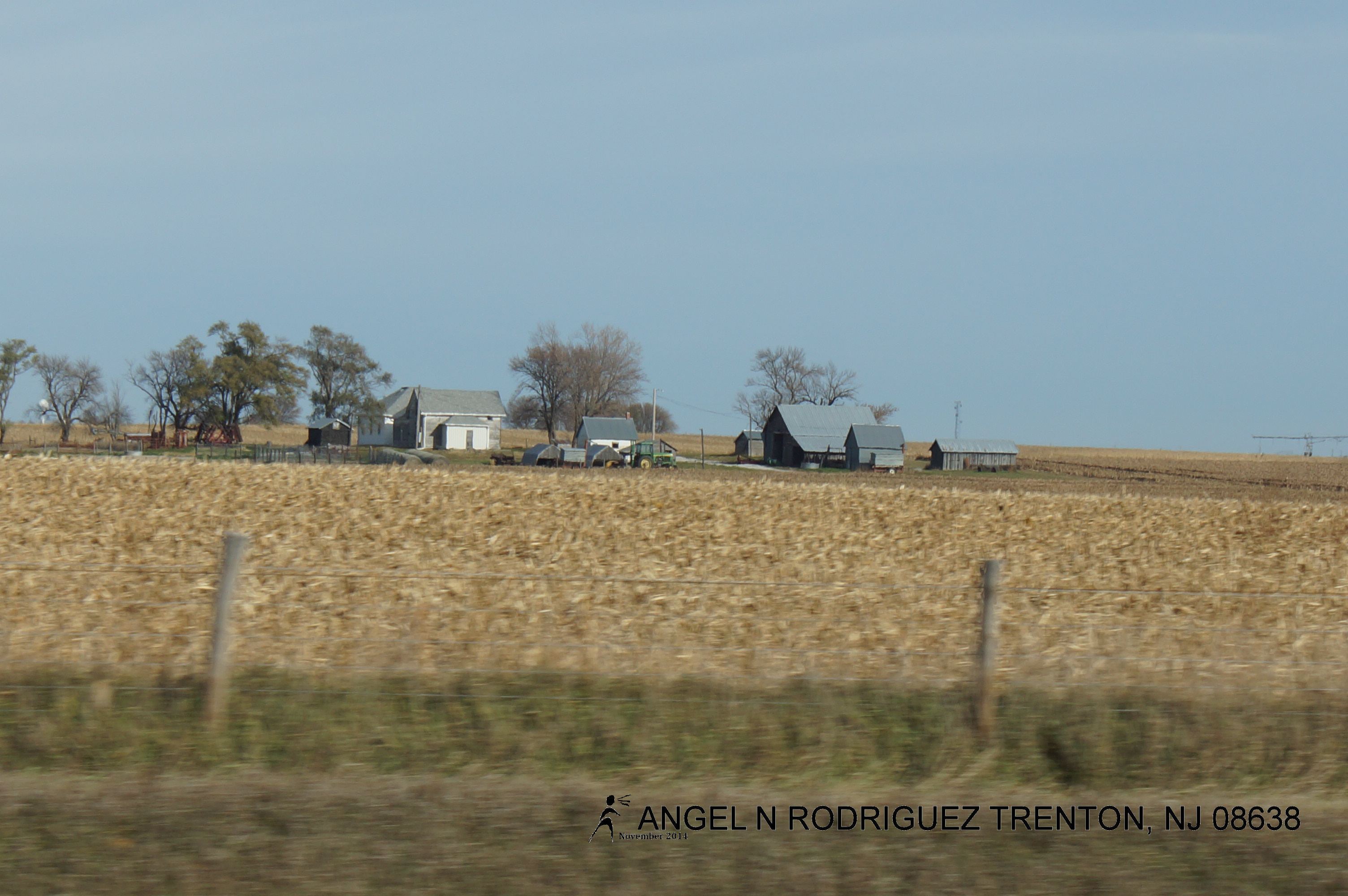
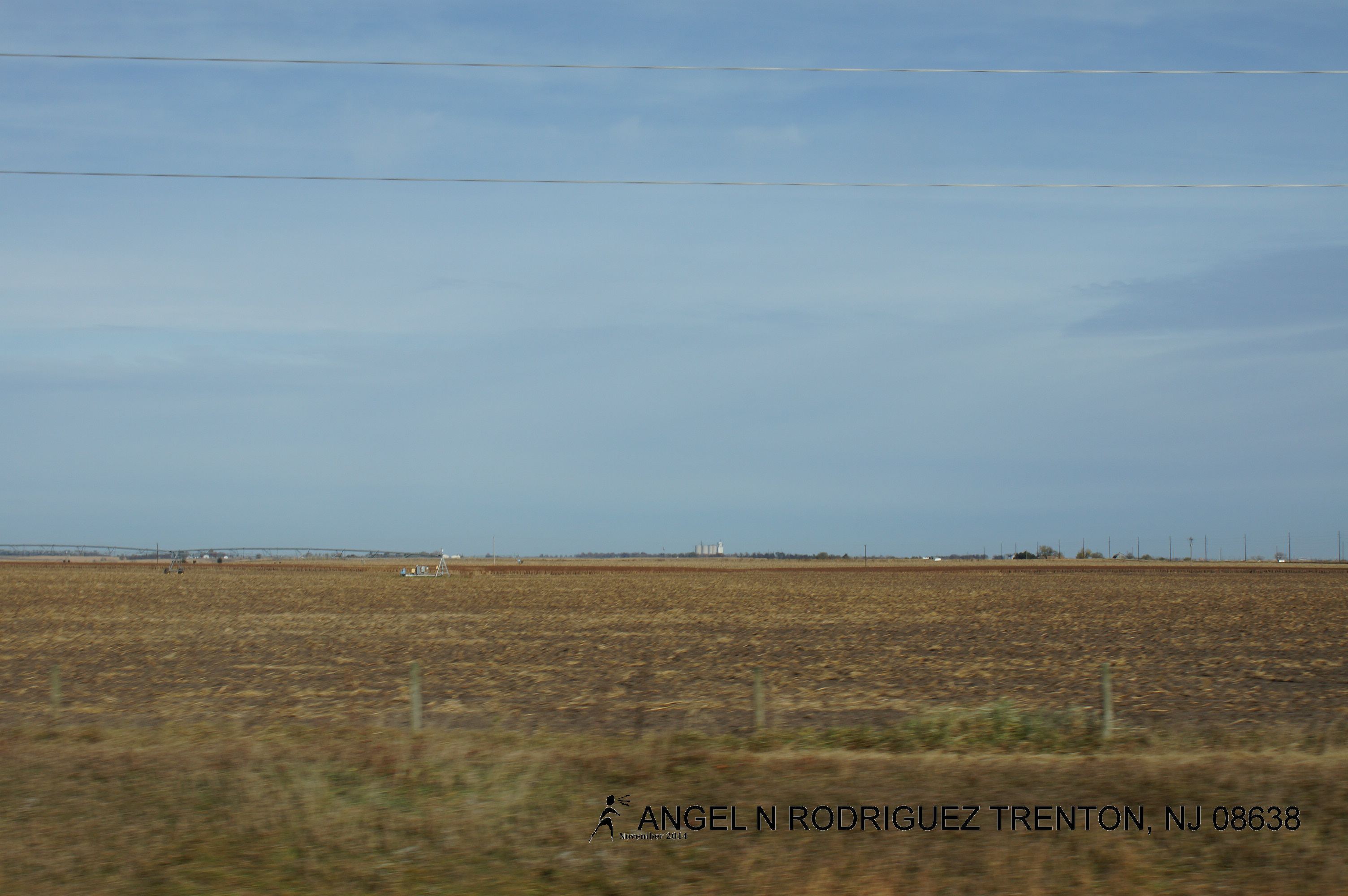
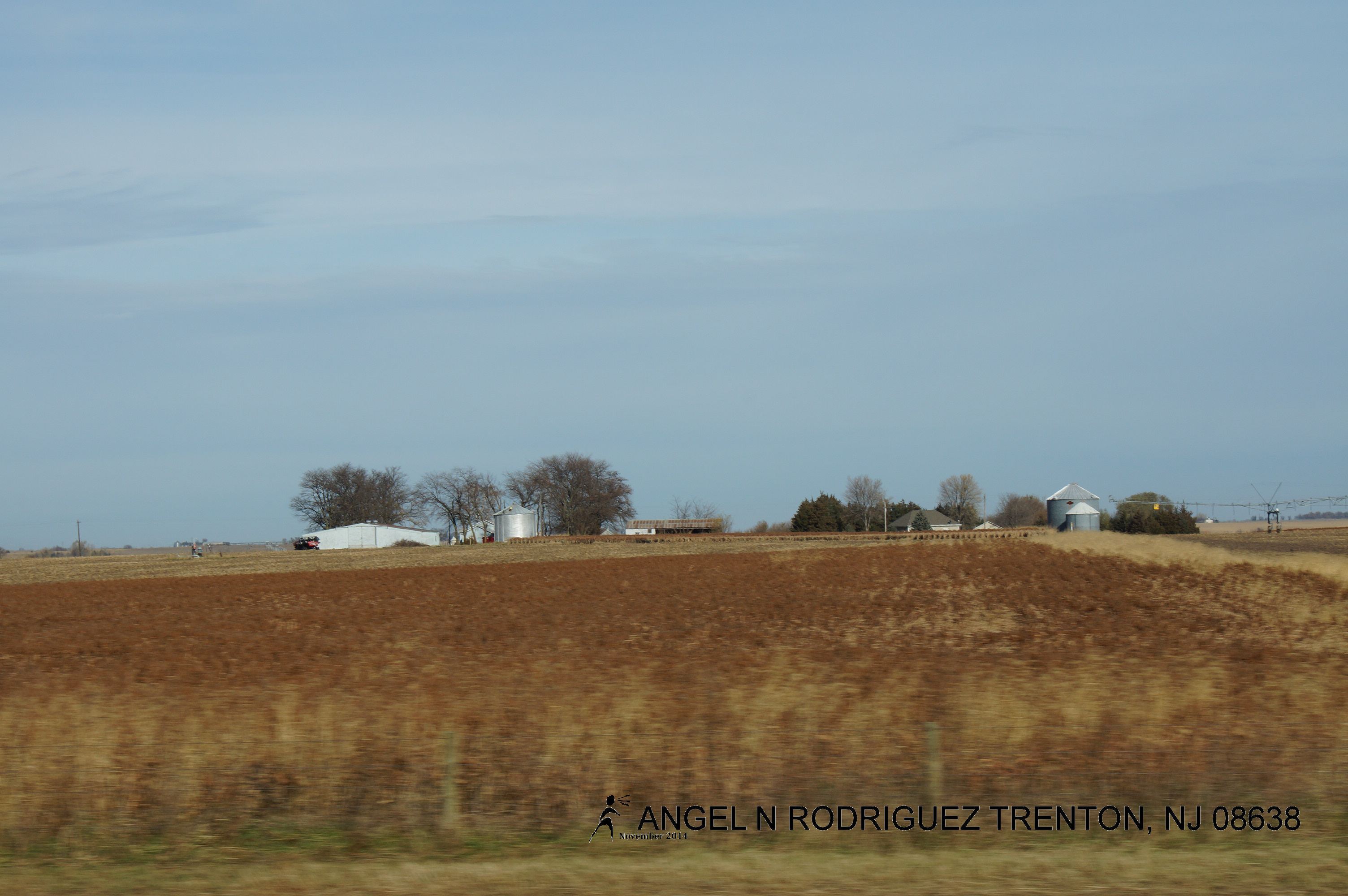
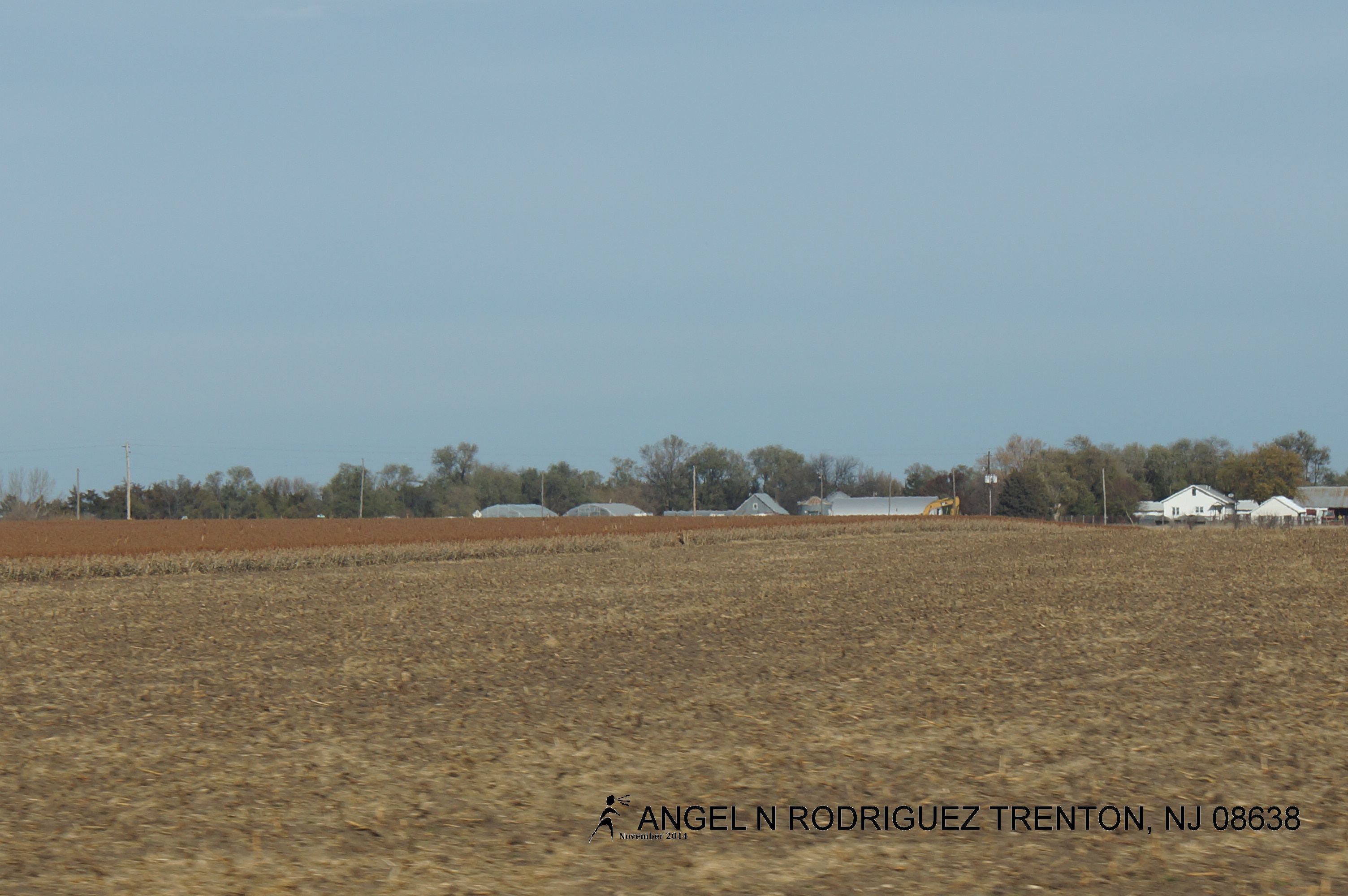
From West to East
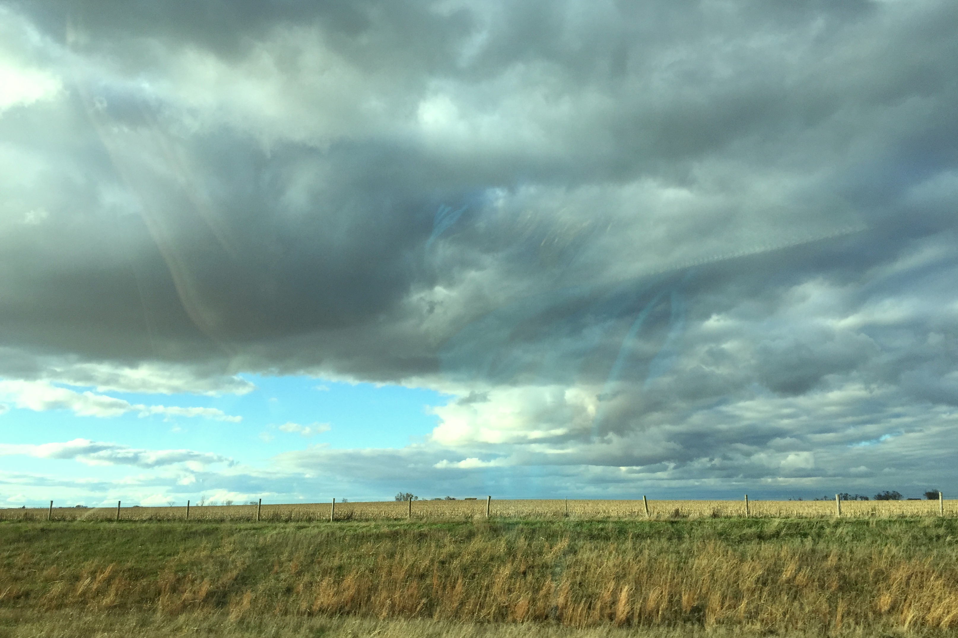
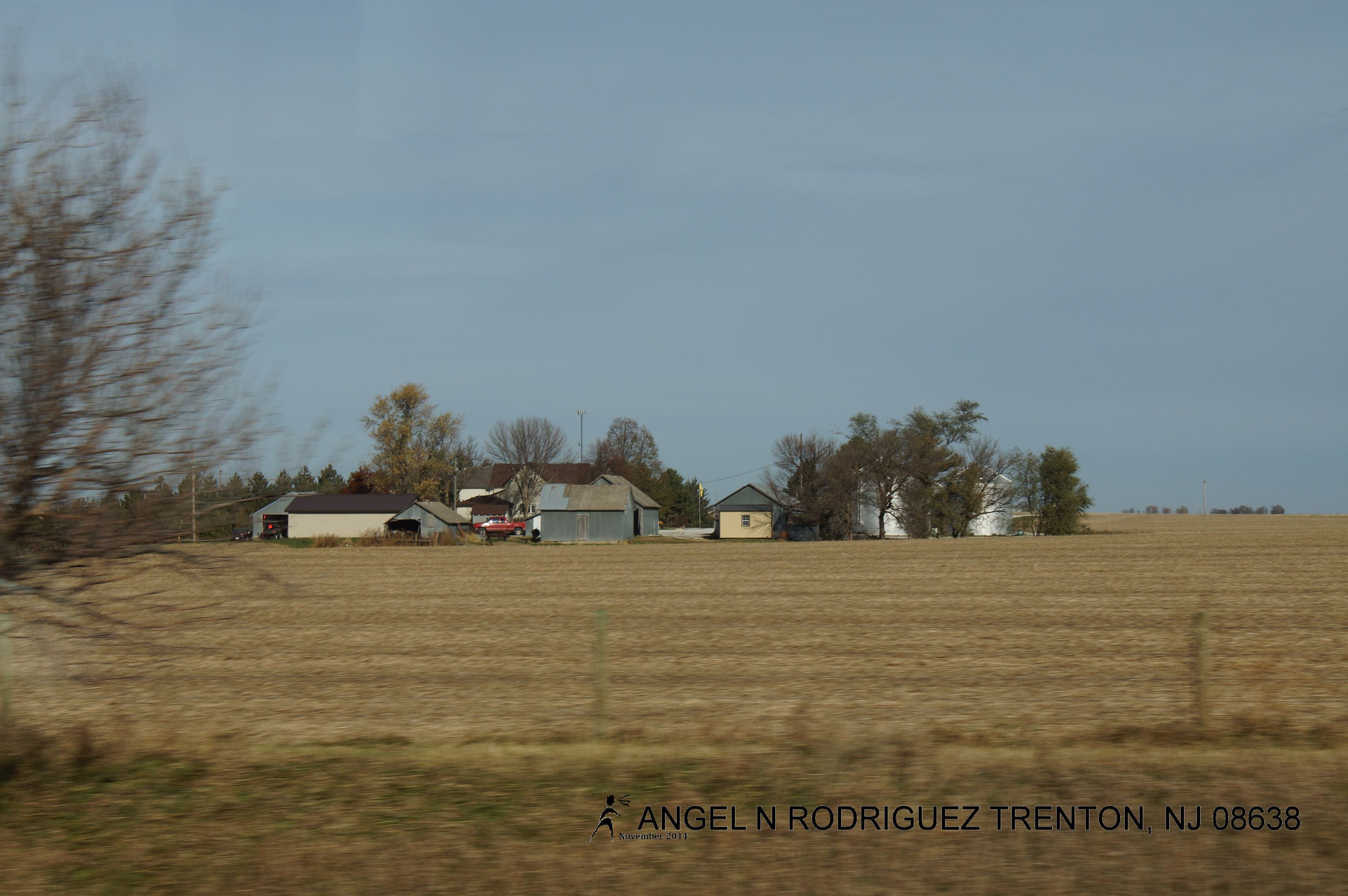
From West to East
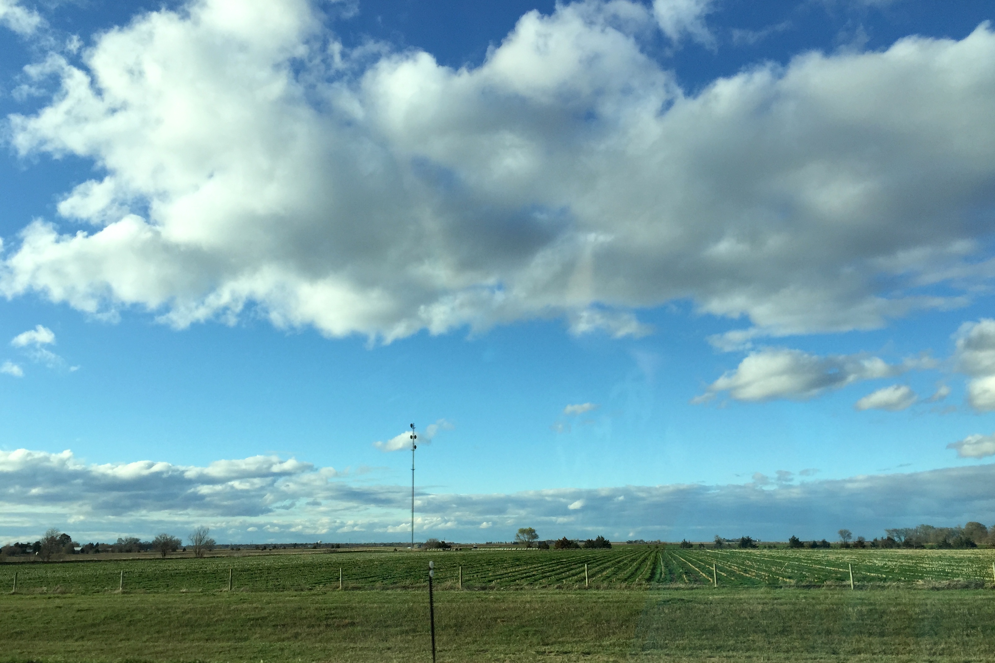
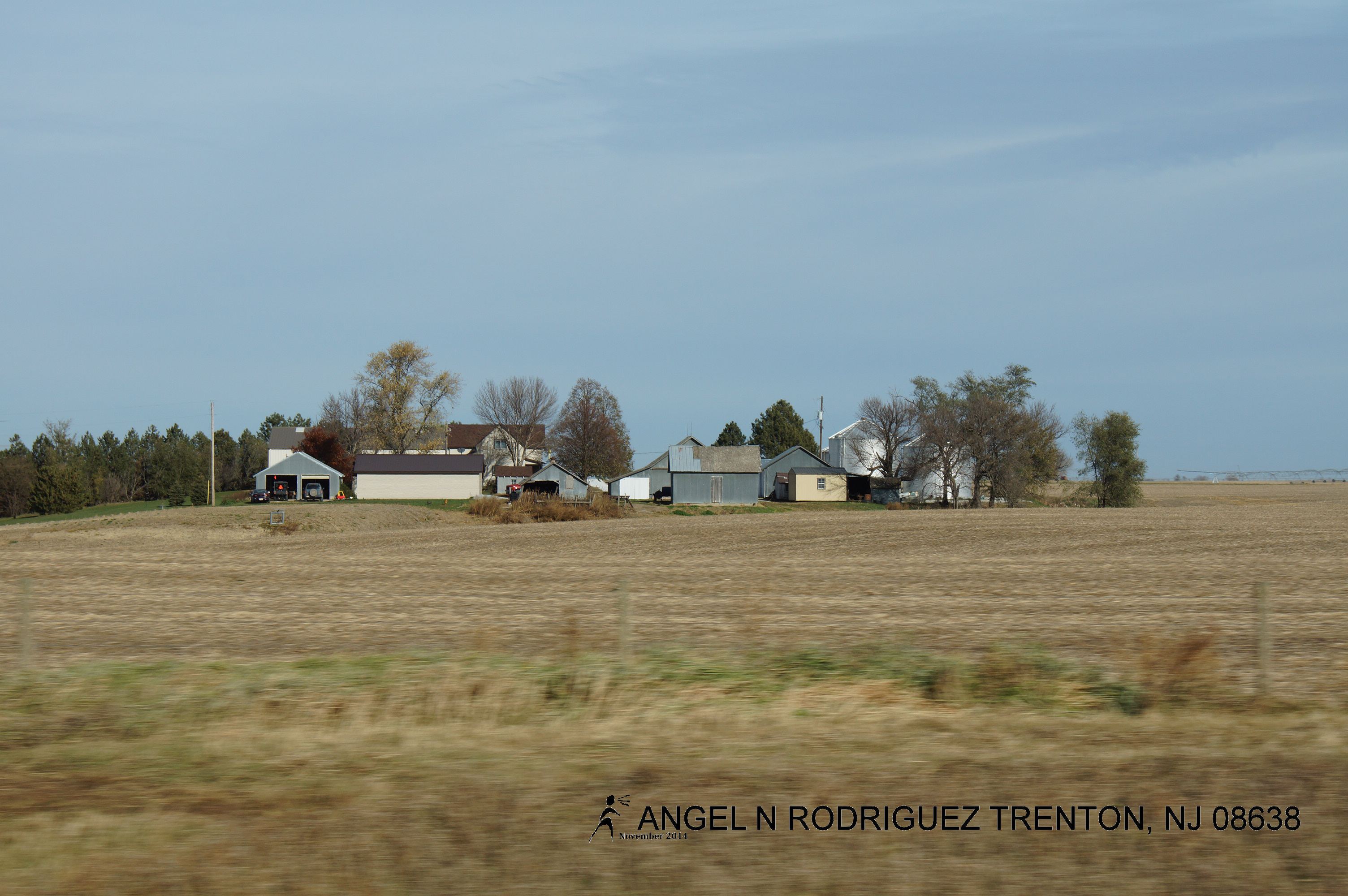
From West to East
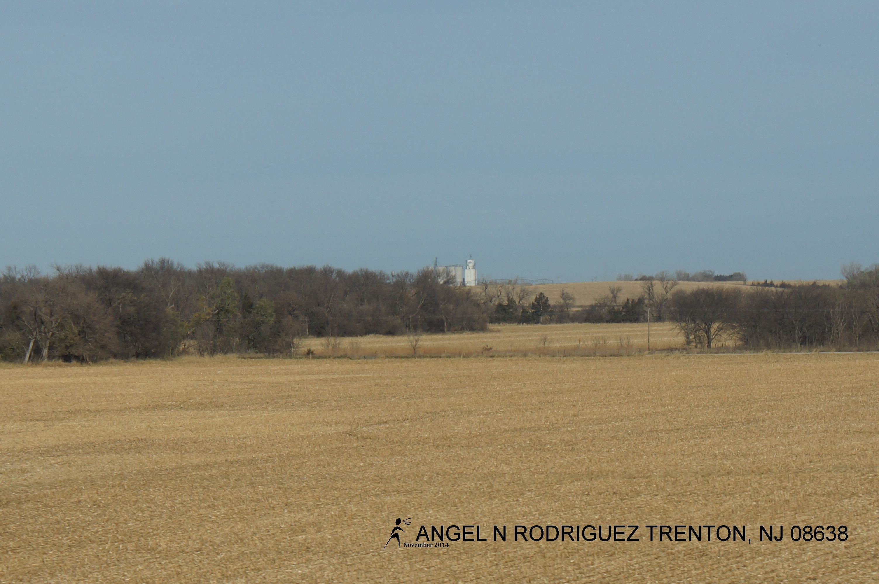
From West to East

From West to East
From West to East
From West to East

From West to East
From West to East
From West to East

From West to East
Topographic Map of York County, NE, USA
Find elevation by address:

Places in York County, NE, USA:
Places near York County, NE, USA:
S Lincoln Ave, York, NE, USA
711 S Lincoln Ave
1005 Mayhew Ave
York
1116 Nobes Rd Sw
US-81, York, NE, USA
Lockridge
Lincoln St, Bradshaw, NE, USA
Bradshaw
Bradshaw
F
Polk County
South Canada
1159 129th Rd
1159 129th Rd
1159 129th Rd
1777 Co Rd 322
Shelby
Elm St, Shelby, NE, USA
1817 294th
Recent Searches:
- Elevation map of Litang County, Sichuan, China
- Elevation map of Madoi County, Qinghai, China
- Elevation of 3314, Ohio State Route 114, Payne, Paulding County, Ohio, 45880, USA
- Elevation of Sarahills Drive, Saratoga, Santa Clara County, California, 95070, USA
- Elevation of Town of Bombay, Franklin County, New York, USA
- Elevation of 9, Convent Lane, Center Moriches, Suffolk County, New York, 11934, USA
- Elevation of Saint Angelas Convent, 9, Convent Lane, Center Moriches, Suffolk County, New York, 11934, USA
- Elevation of 131st Street Southwest, Mukilteo, Snohomish County, Washington, 98275, USA
- Elevation of 304, Harrison Road, Naples, Cumberland County, Maine, 04055, USA
- Elevation of 2362, Timber Ridge Road, Harrisburg, Cabarrus County, North Carolina, 28075, USA
- Elevation of Ridge Road, Marshalltown, Marshall County, Iowa, 50158, USA
- Elevation of 2459, Misty Shadows Drive, Pigeon Forge, Sevier County, Tennessee, 37862, USA
- Elevation of 8043, Brightwater Way, Spring Hill, Williamson County, Tennessee, 37179, USA
- Elevation of Starkweather Road, San Luis, Costilla County, Colorado, 81152, USA
- Elevation of 5277, Woodside Drive, Baton Rouge, East Baton Rouge Parish, Louisiana, 70808, USA
- Elevation of 1139, Curtin Street, Shepherd Park Plaza, Houston, Harris County, Texas, 77018, USA
- Elevation of 136, Sellers Lane, Repton, Monroe County, Alabama, 36475, USA
- Elevation of 12914, Elmington Drive, Lakewood Forest, Houston, Harris County, Texas, 77429, USA
- Elevation of 417, Camelot Drive, Statesville, Iredell County, North Carolina, 28625, USA
- Elevation of 5792, Wildridge Road, Avon, Eagle County, Colorado, 81620, USA