Elevation of Lockridge, NE, USA
Location: United States > Nebraska > York County >
Longitude: -97.676515
Latitude: 40.9249238
Elevation: 500m / 1640feet
Barometric Pressure: 95KPa
Elevation Map:
Satellite Map:
Related Photos:
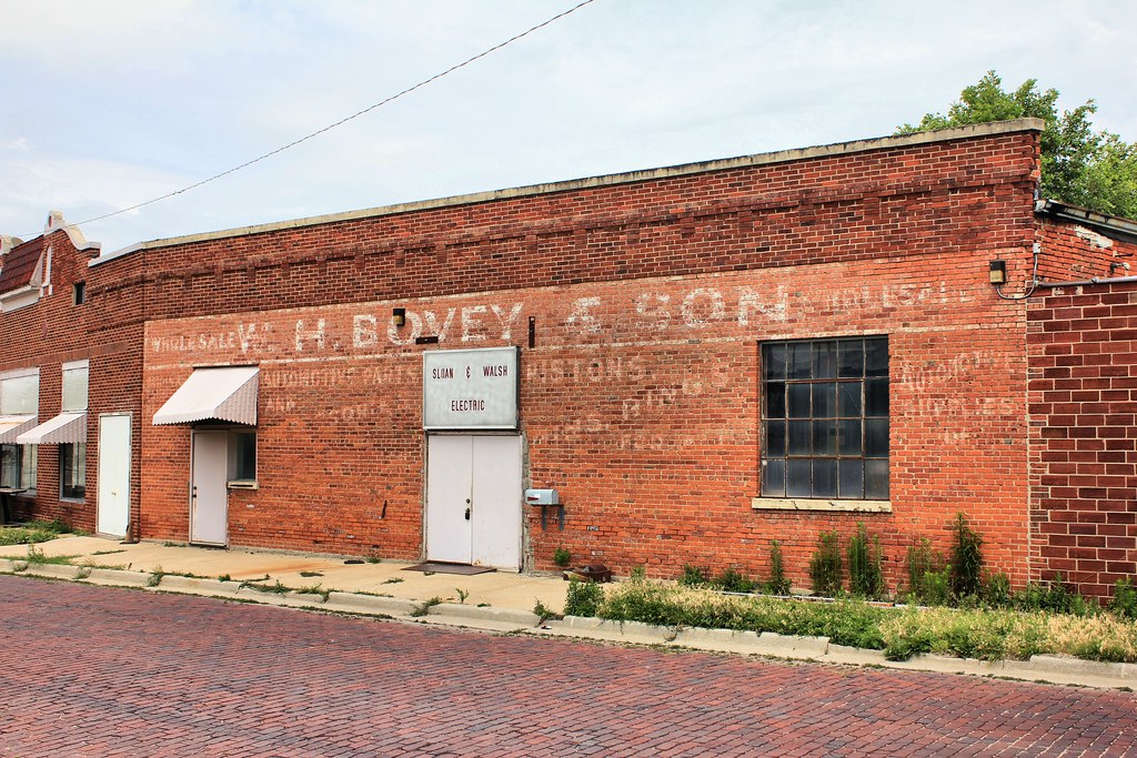
W.H. Bovey & Son Building (side view) - York, NE
courthouse-tint1200
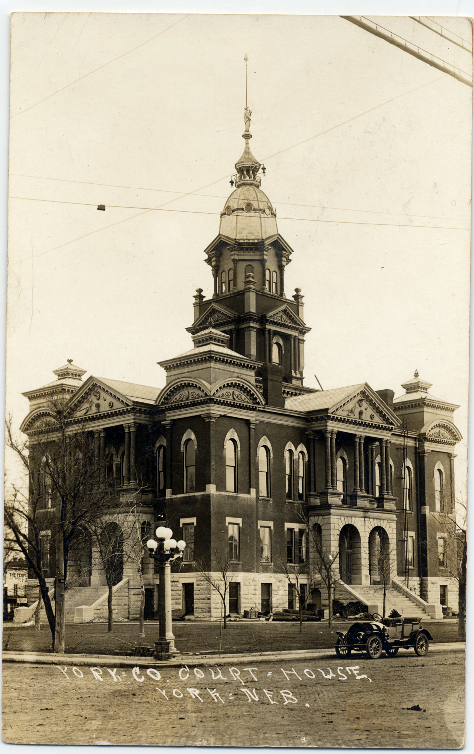
courthouse-nw950
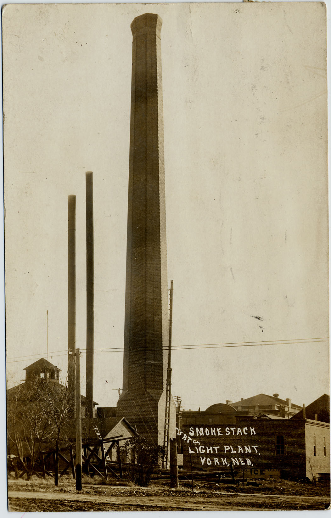
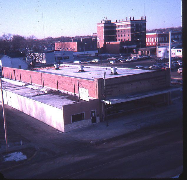
Light-Plant_Smokestack-b
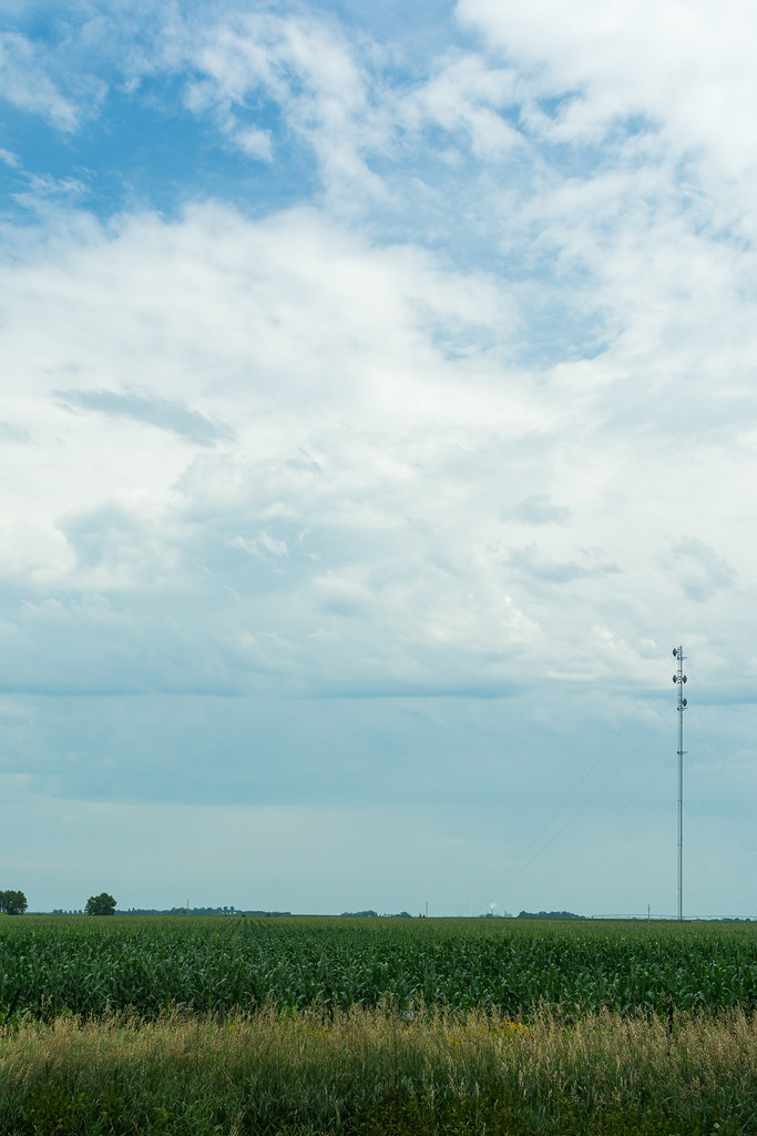
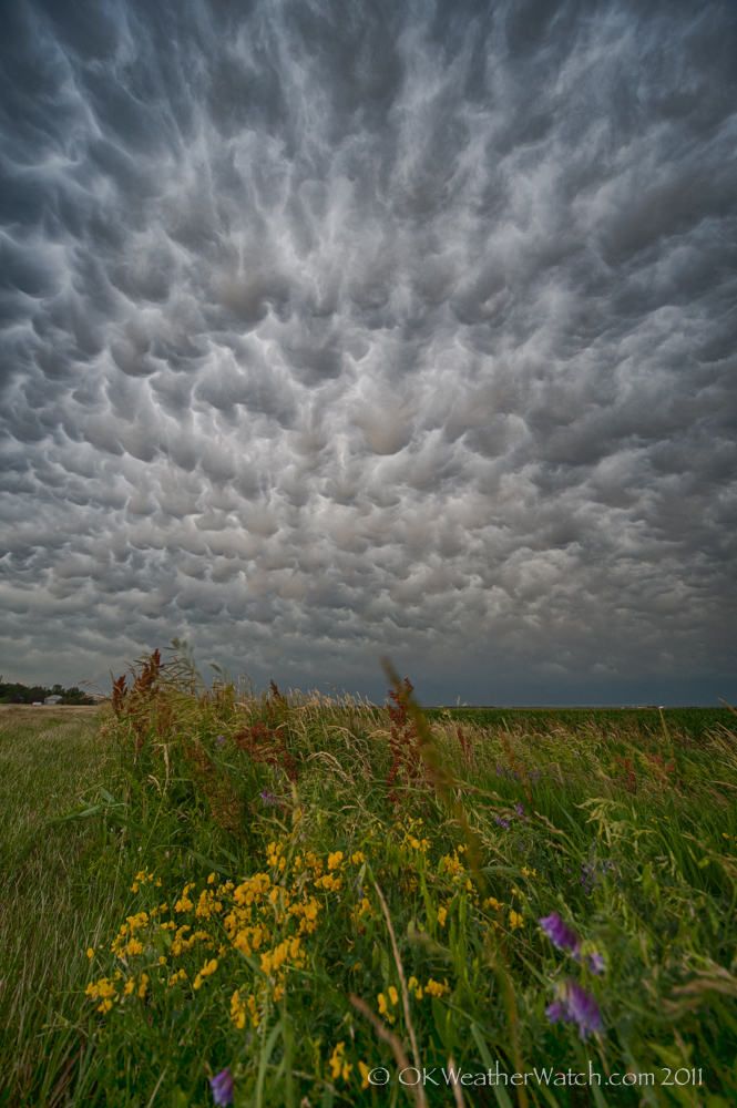
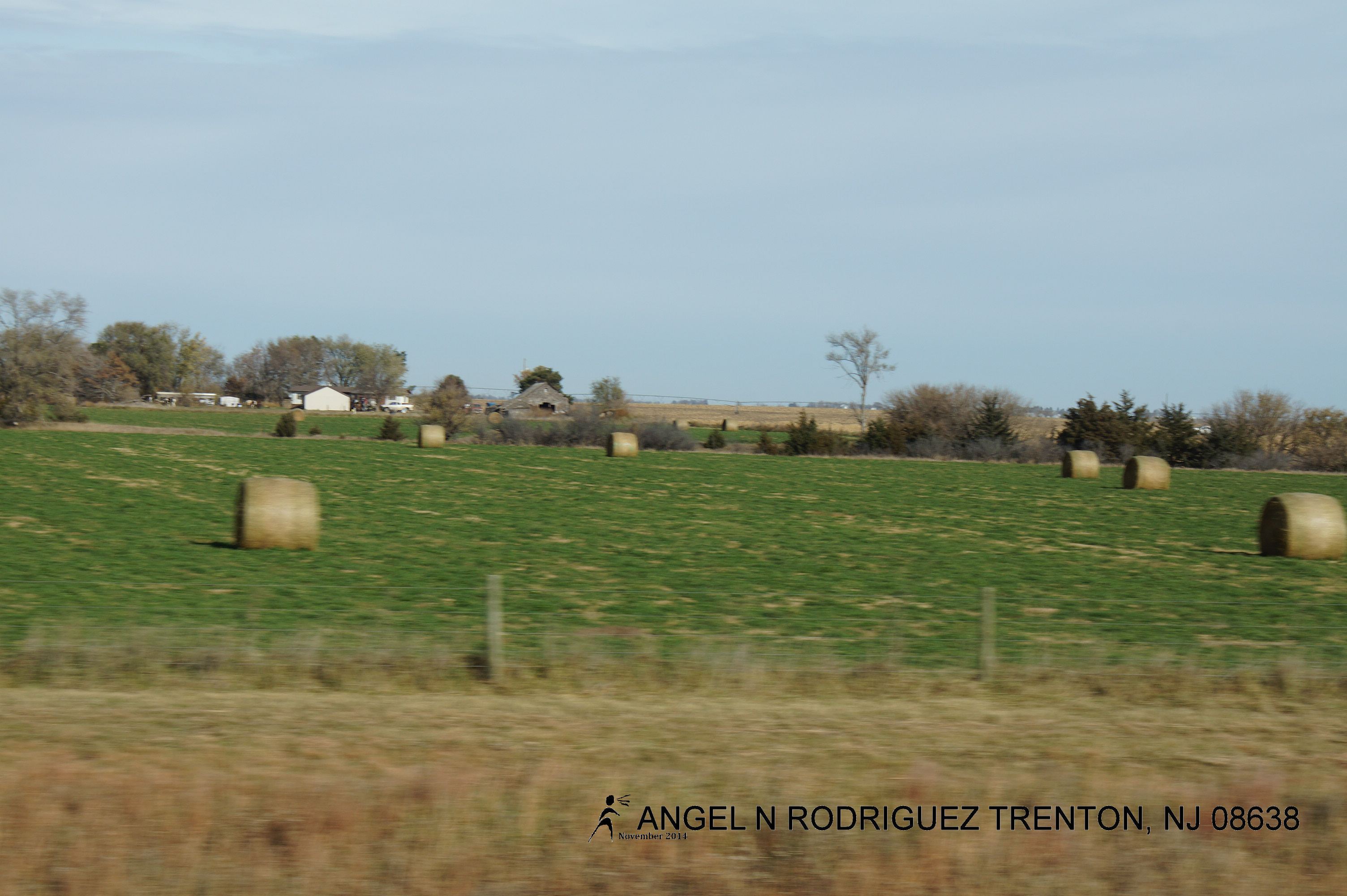
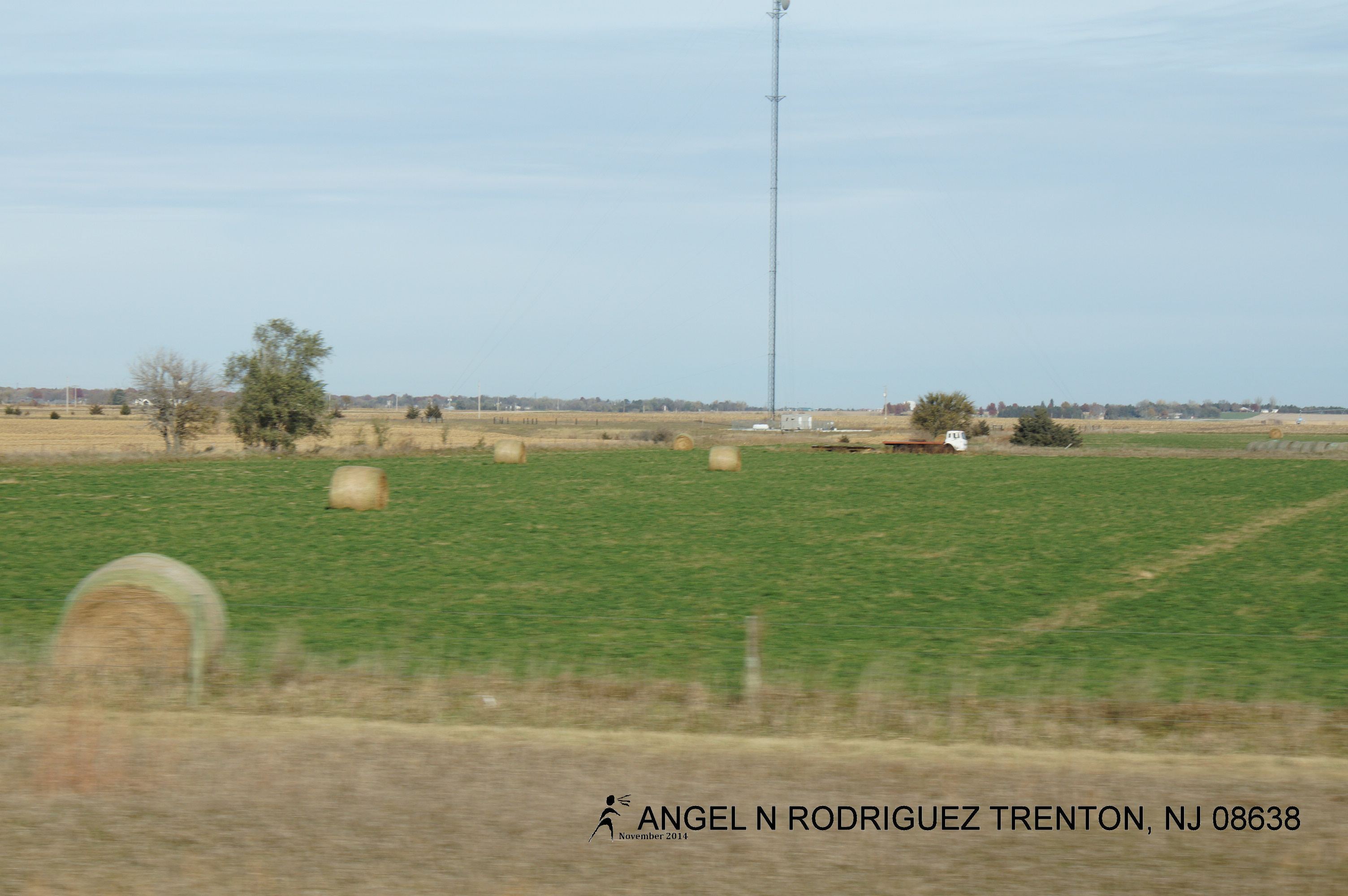
Flat Country
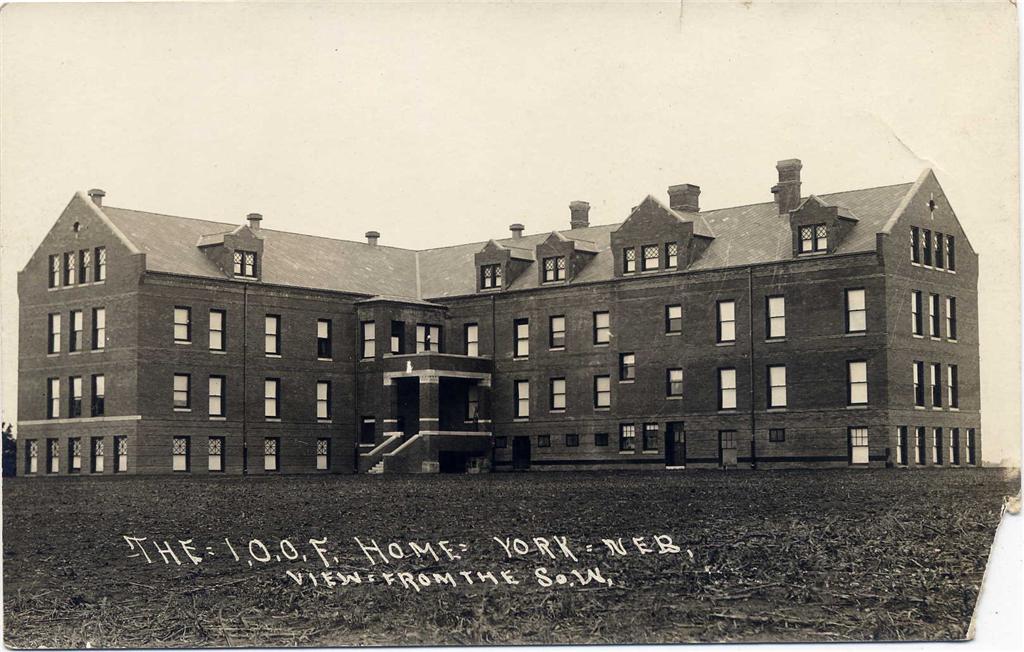
I.O.O.F._home_backside
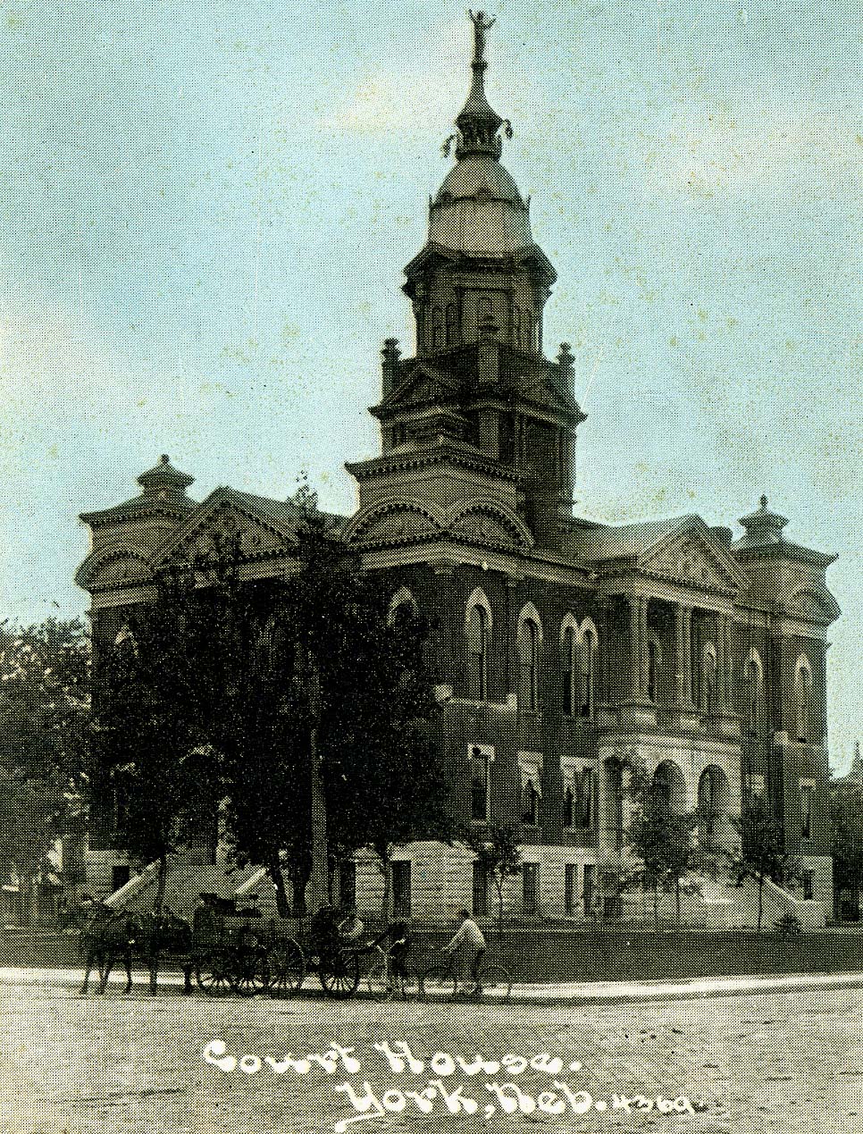
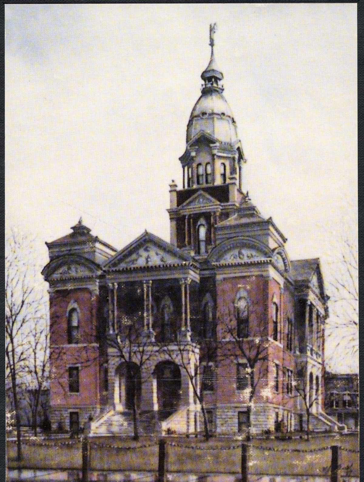
Court-House_colorized

More Help
Scan 05
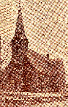
St._Joseph_Church
A Fine End
CIMG0011.jpg

Bradshaw, Nebraska
Nebraska .

Figure "8" Race. Nostalgic good times. #familyfirst
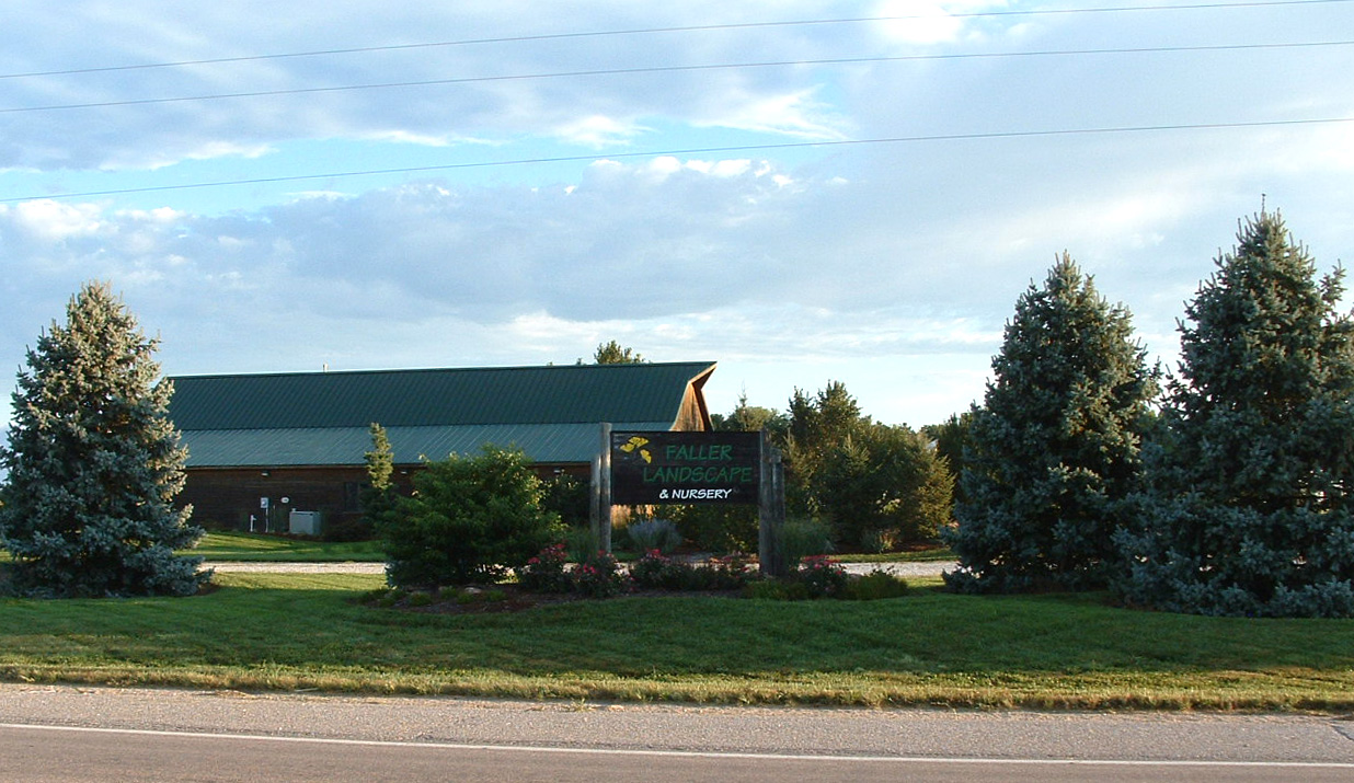
Nebraska, York -- Faller Landscape

Cottonwood split
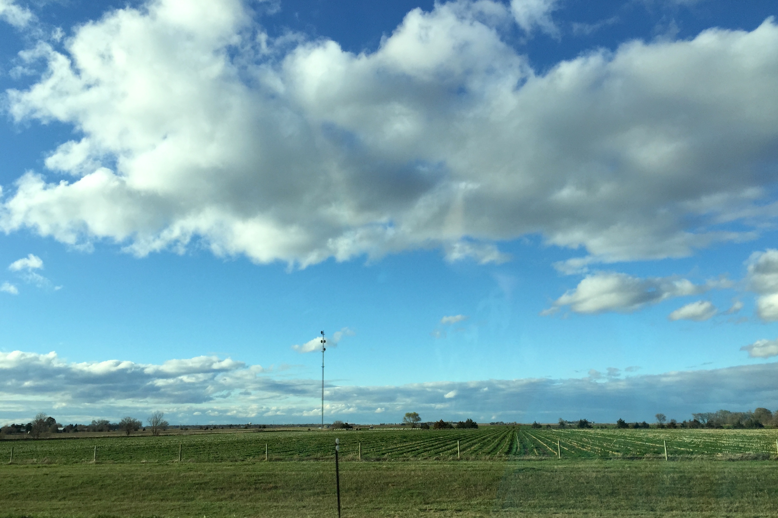
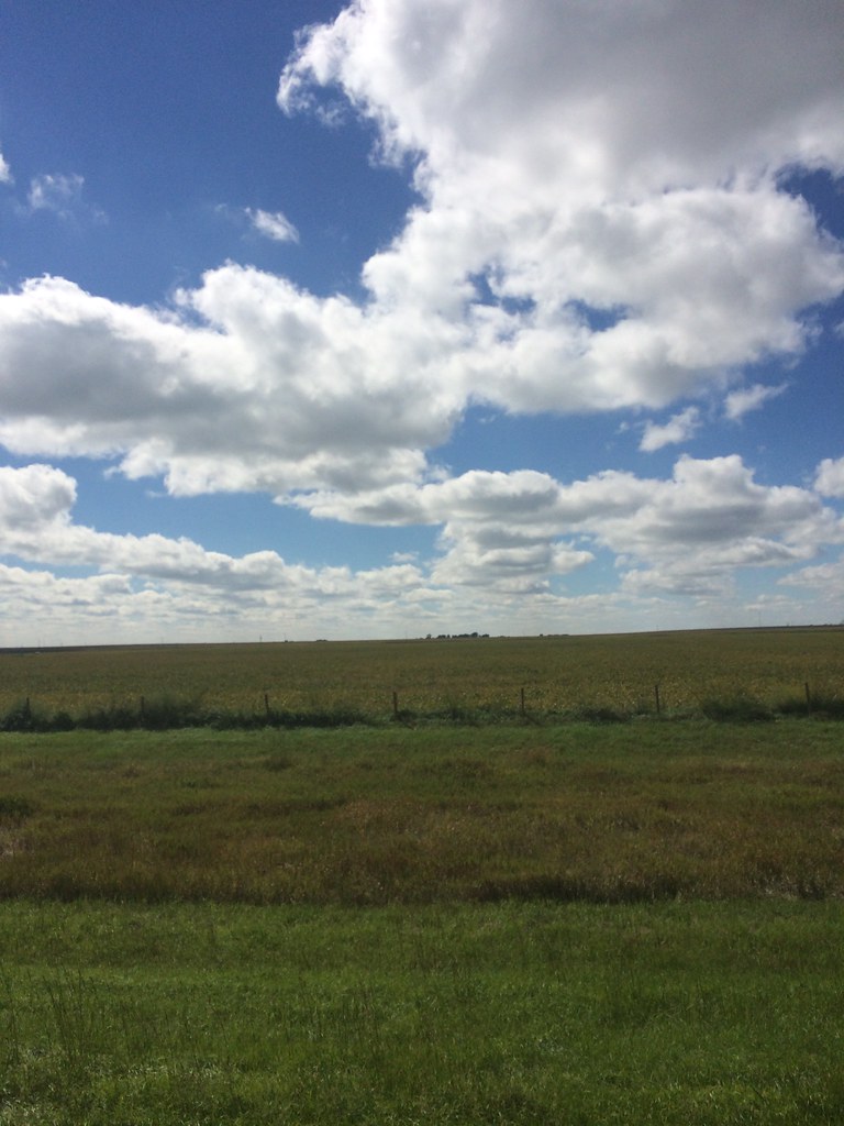
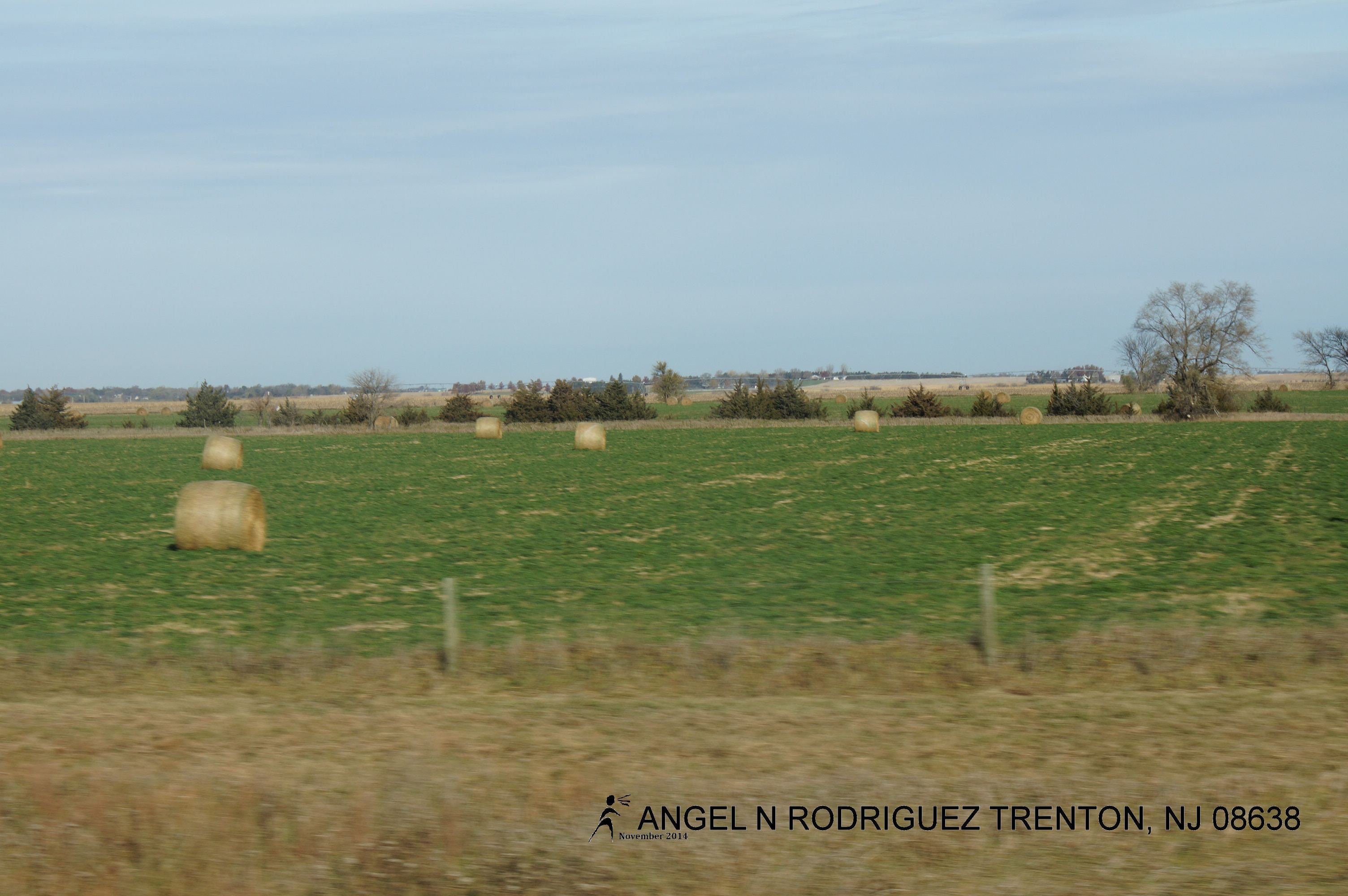
06. Nebraska farmfield

20110620-IMG_8108

20110620-IMG_8089
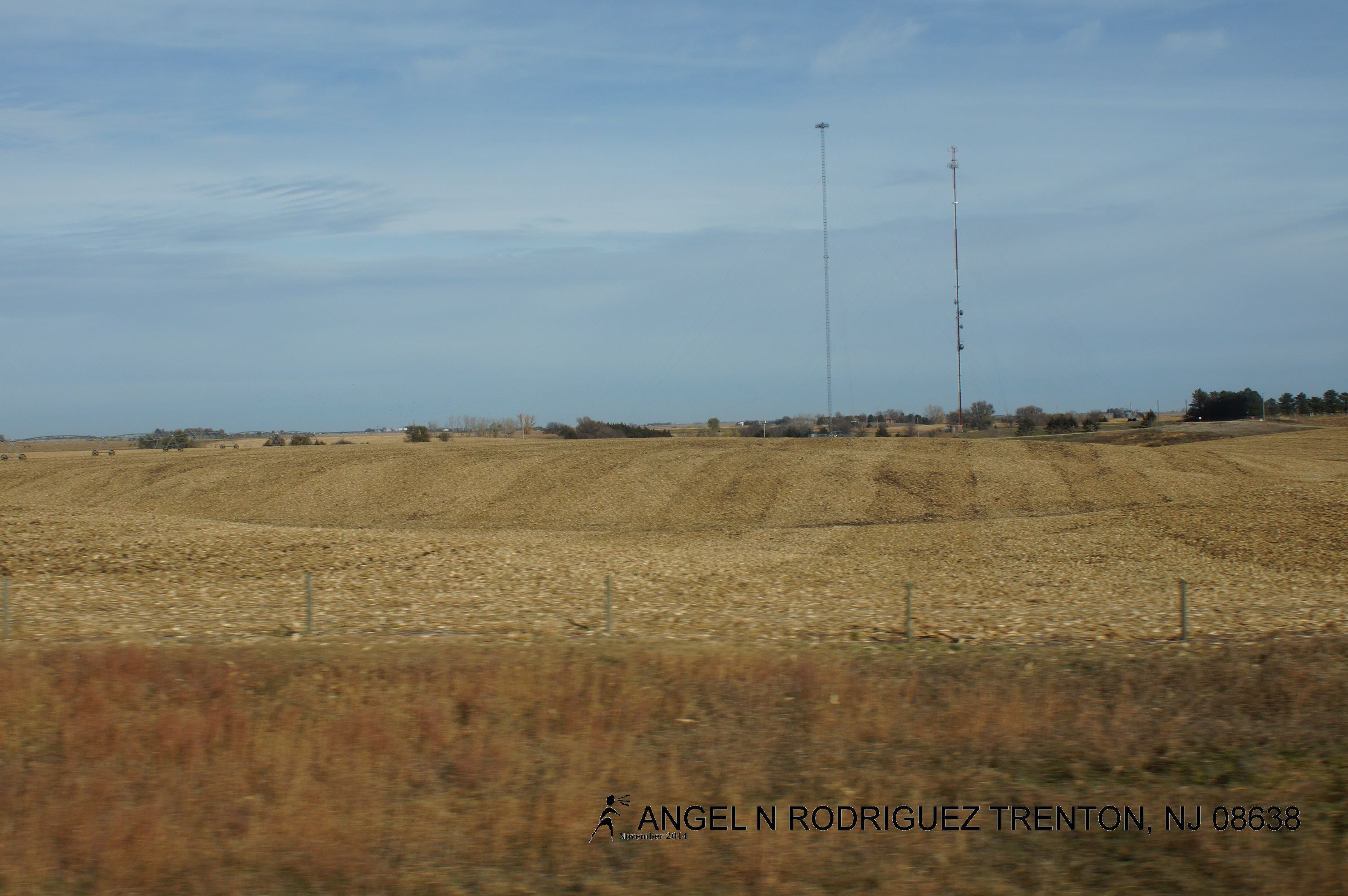
From West to East
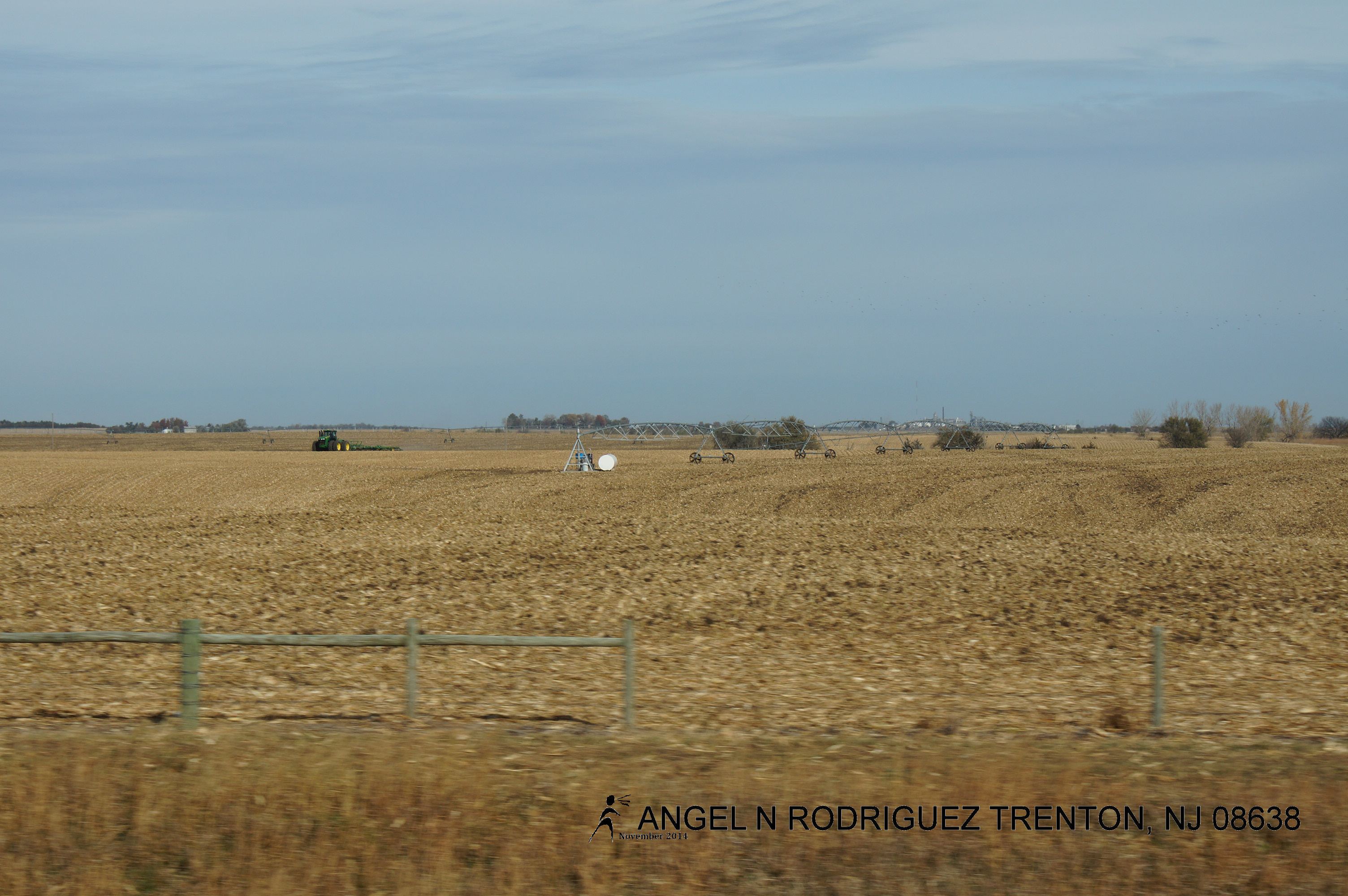
From West to East
From West to East
From West to East

Nothing...#lowmorale

Hampton, Nebraska

Hampton, Nebraska

Nebraska Sunrise

Dusk at York
From West to East
Topographic Map of Lockridge, NE, USA
Find elevation by address:

Places in Lockridge, NE, USA:
Places near Lockridge, NE, USA:
US-81, York, NE, USA
Bradshaw
Lincoln St, Bradshaw, NE, USA
Bradshaw
1116 Nobes Rd Sw
York
711 S Lincoln Ave
1005 Mayhew Ave
S Lincoln Ave, York, NE, USA
York County
1159 129th Rd
1159 129th Rd
1159 129th Rd
Polk County
N W Rd, Hordville, NE, USA
Hordville
Aurora
850 Terrie Rd
South Canada
120 Timbercove Rd
Recent Searches:
- Elevation of Corso Fratelli Cairoli, 35, Macerata MC, Italy
- Elevation of Tallevast Rd, Sarasota, FL, USA
- Elevation of 4th St E, Sonoma, CA, USA
- Elevation of Black Hollow Rd, Pennsdale, PA, USA
- Elevation of Oakland Ave, Williamsport, PA, USA
- Elevation of Pedrógão Grande, Portugal
- Elevation of Klee Dr, Martinsburg, WV, USA
- Elevation of Via Roma, Pieranica CR, Italy
- Elevation of Tavkvetili Mountain, Georgia
- Elevation of Hartfords Bluff Cir, Mt Pleasant, SC, USA