Elevation of S Lincoln Ave, York, NE, USA
Location: United States > Nebraska > York County > York >
Longitude: -97.5926803
Latitude: 40.8558265
Elevation: 486m / 1594feet
Barometric Pressure: 0KPa
Related Photos:
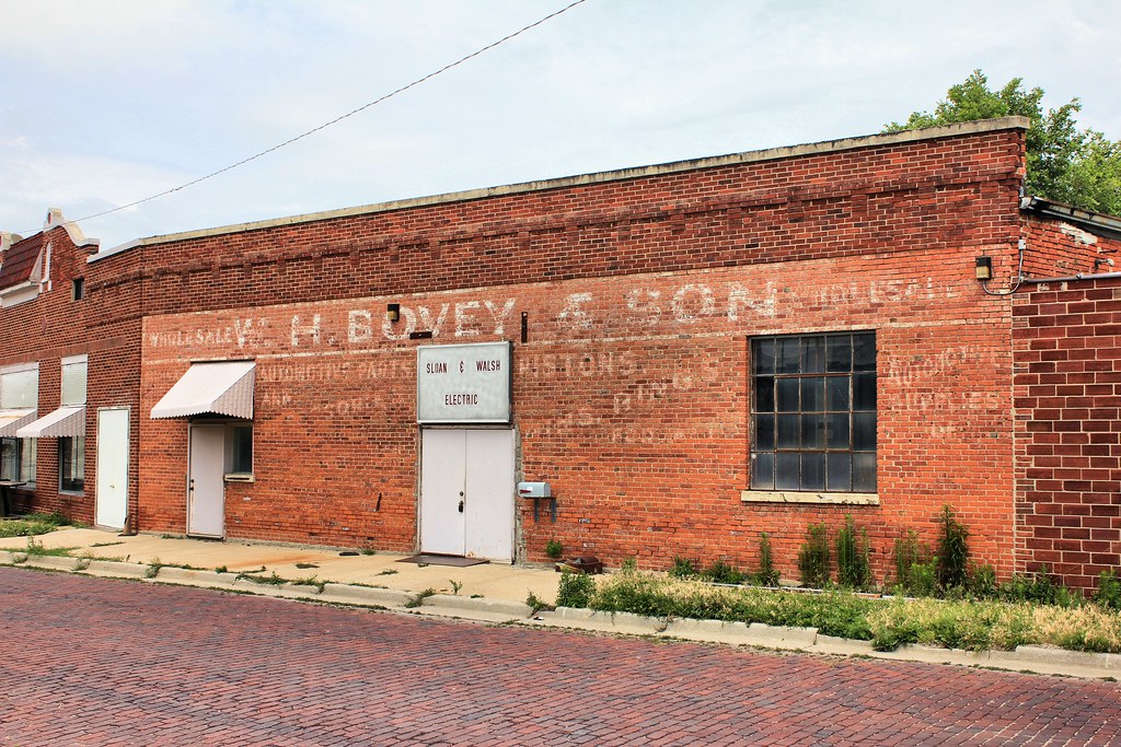
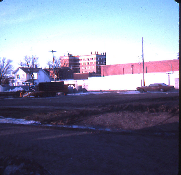
W.H. Bovey & Son Building (side view) - York, NE
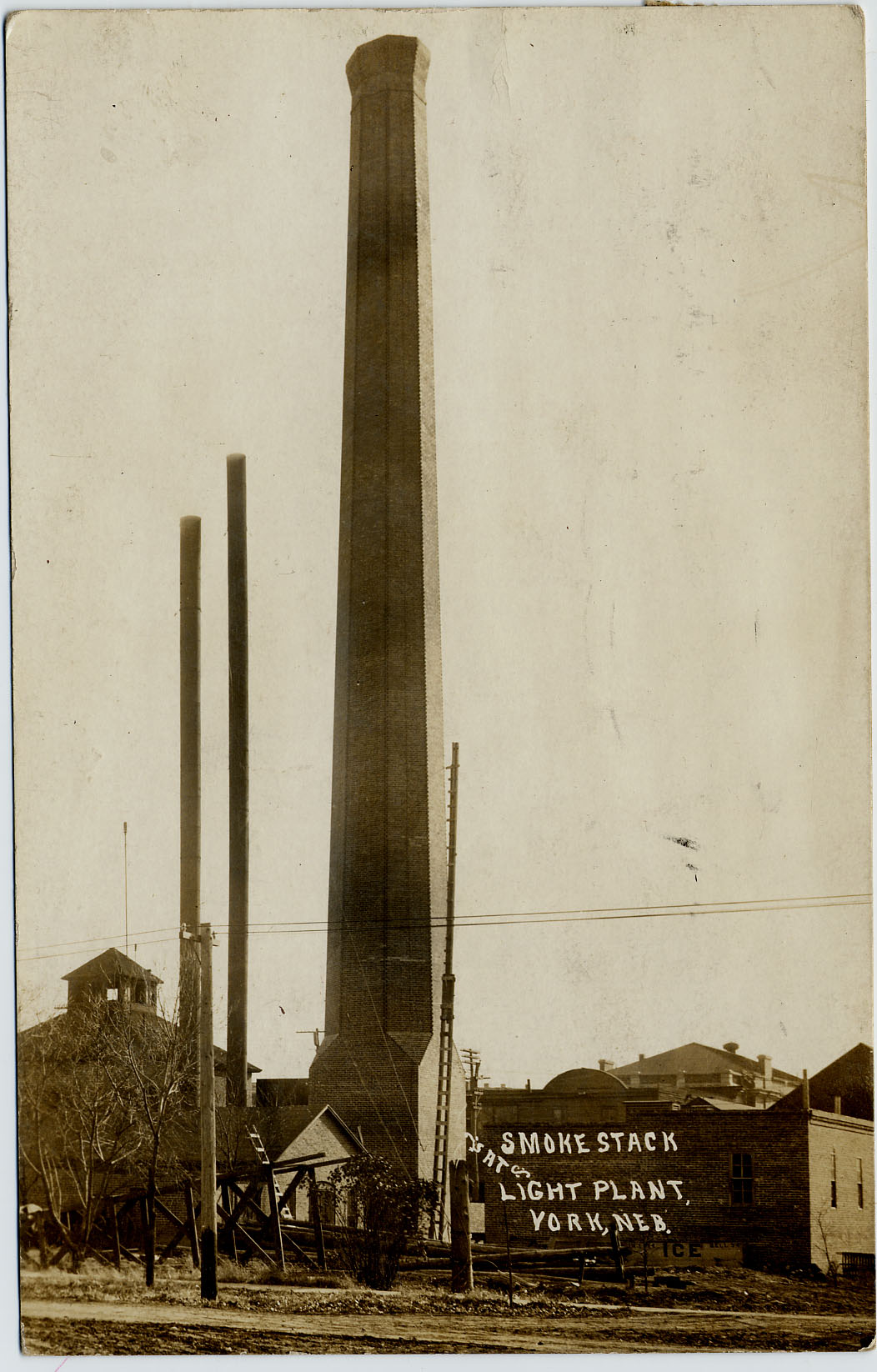
Light-Plant_Smokestack-b
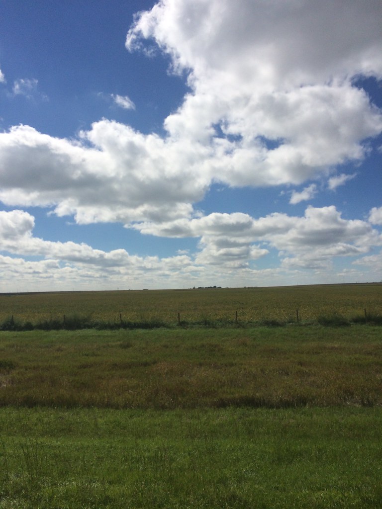
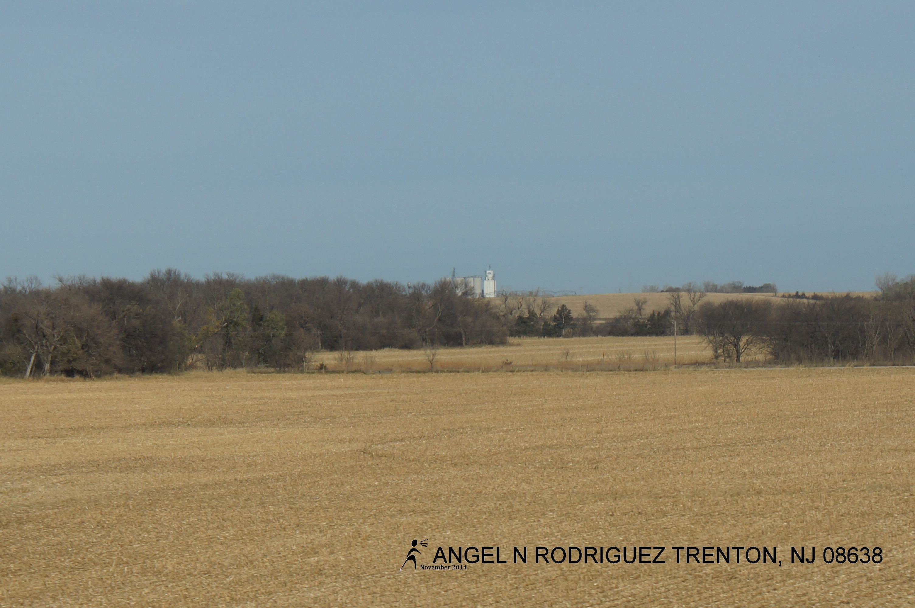
Flat Country
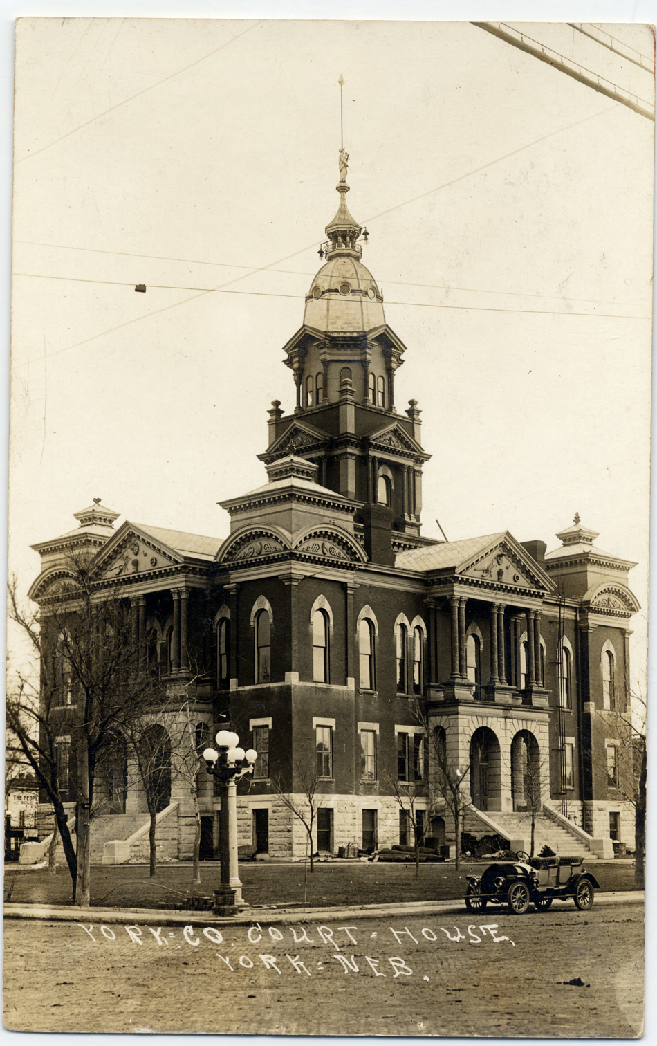
courthouse-nw950
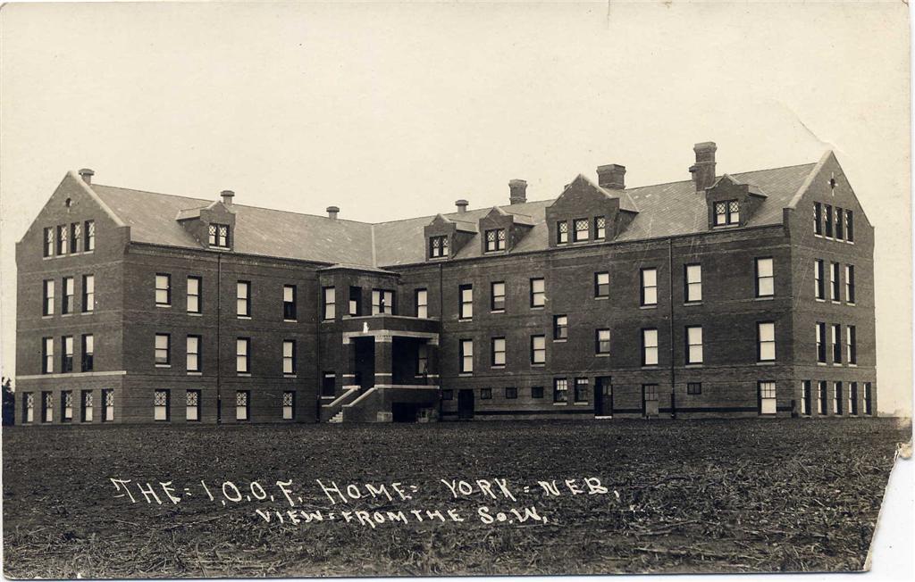
I.O.O.F._home_backside
More Help
Scan 05
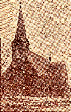
St._Joseph_Church
Scan 01

DSCF0600 May 11, 2011

<S/B> BNSF Train
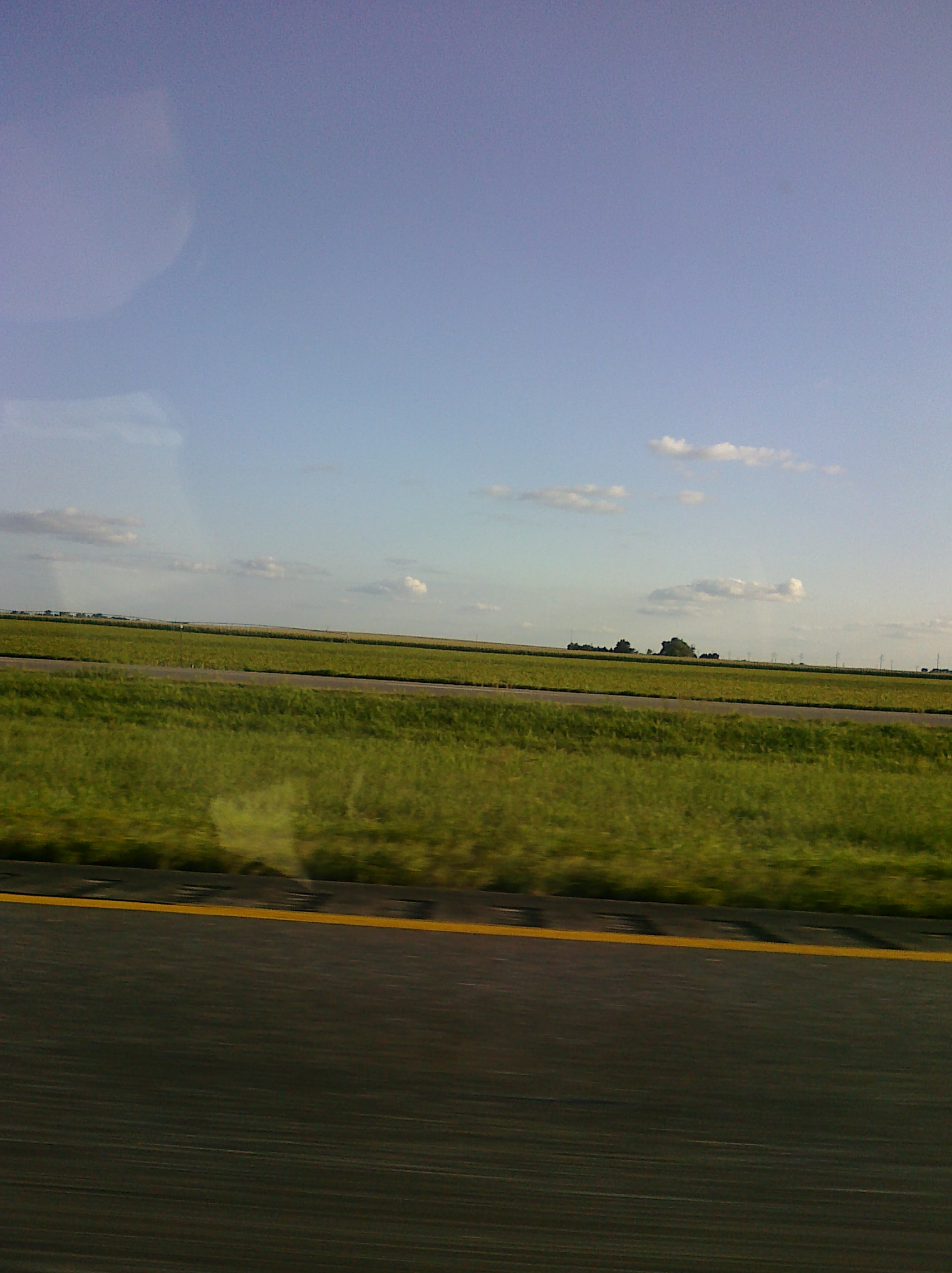
Nebraska .
CIMG0011.jpg
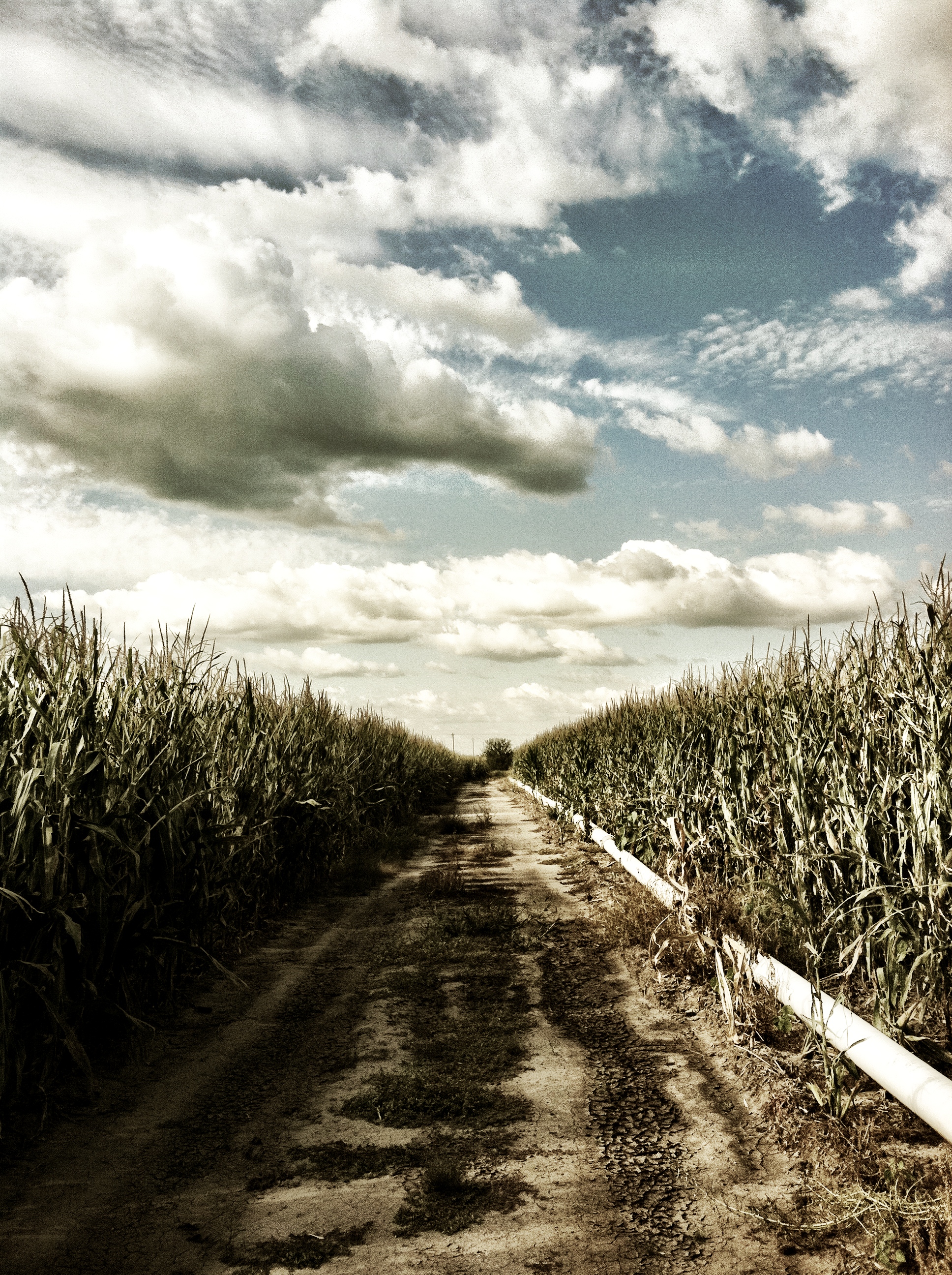
Corn field in Nebraska

Cottonwood split

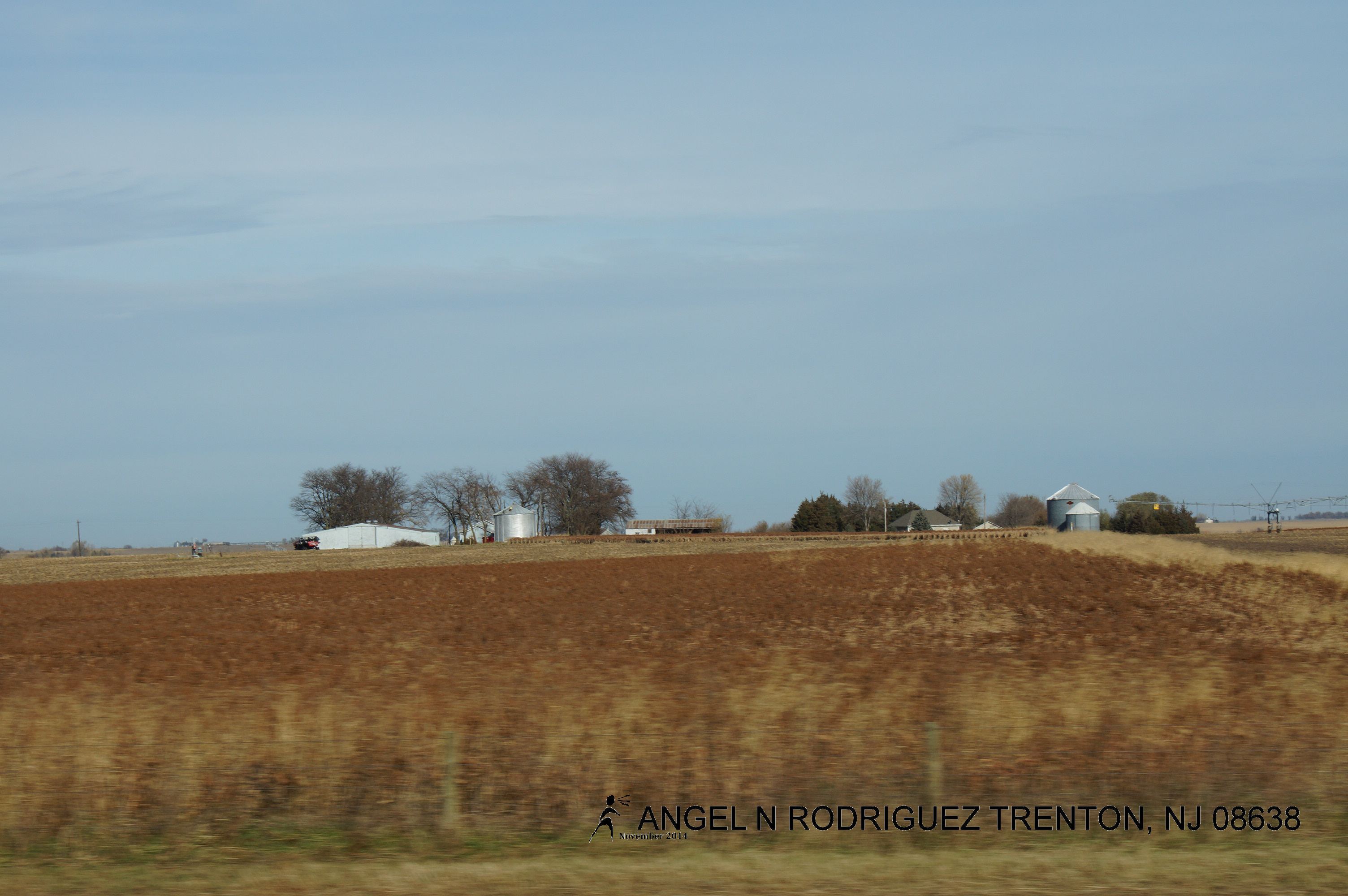
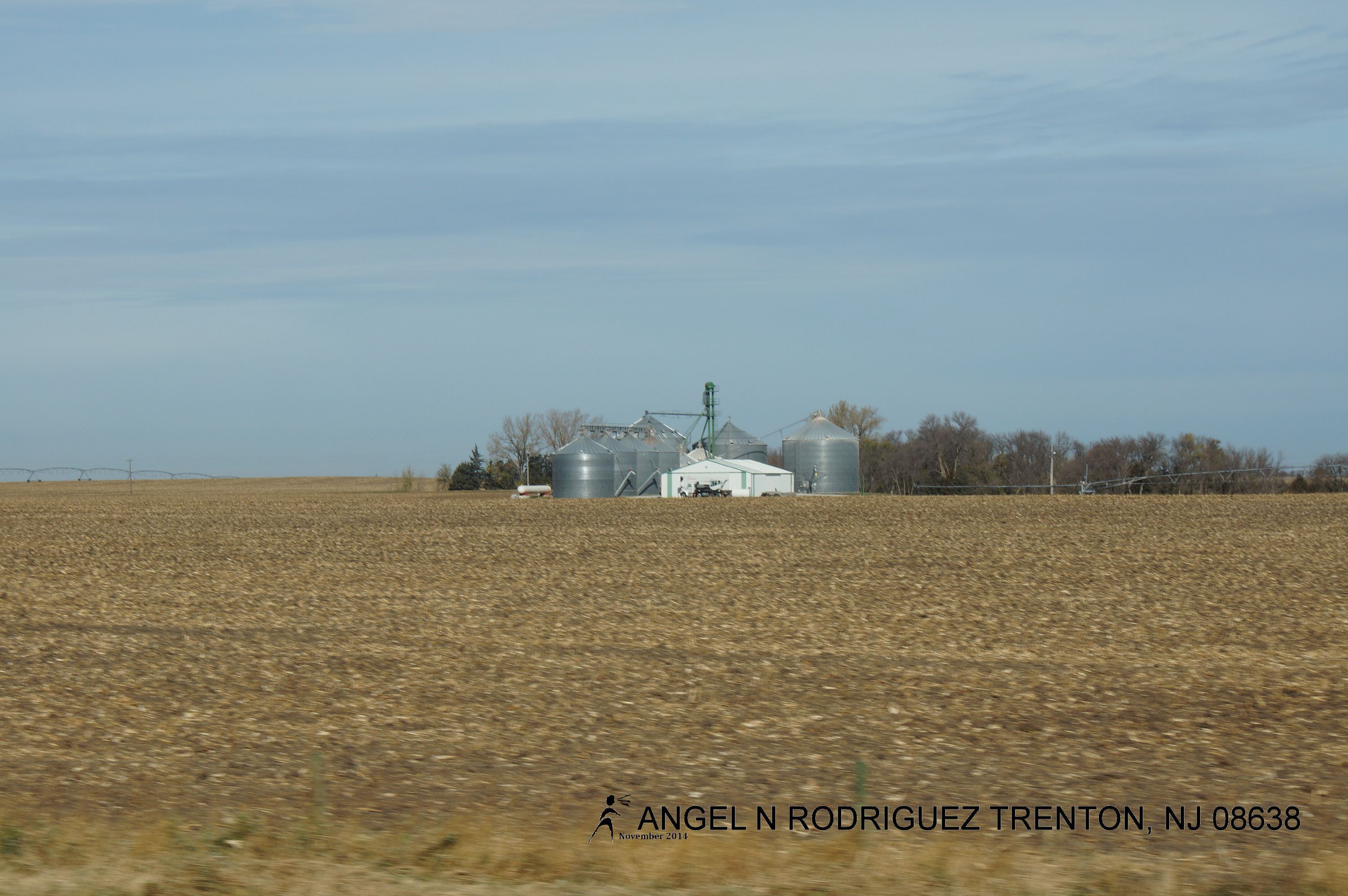
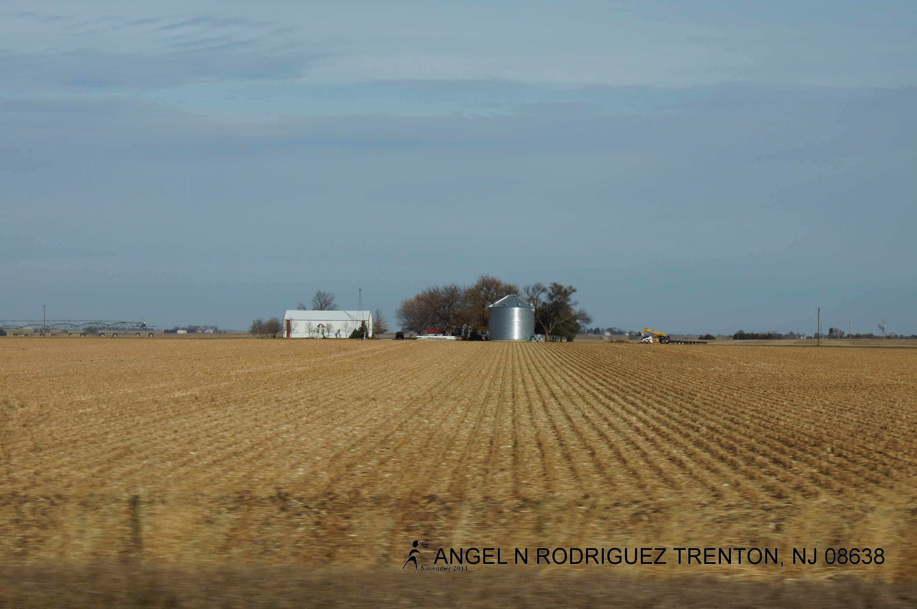
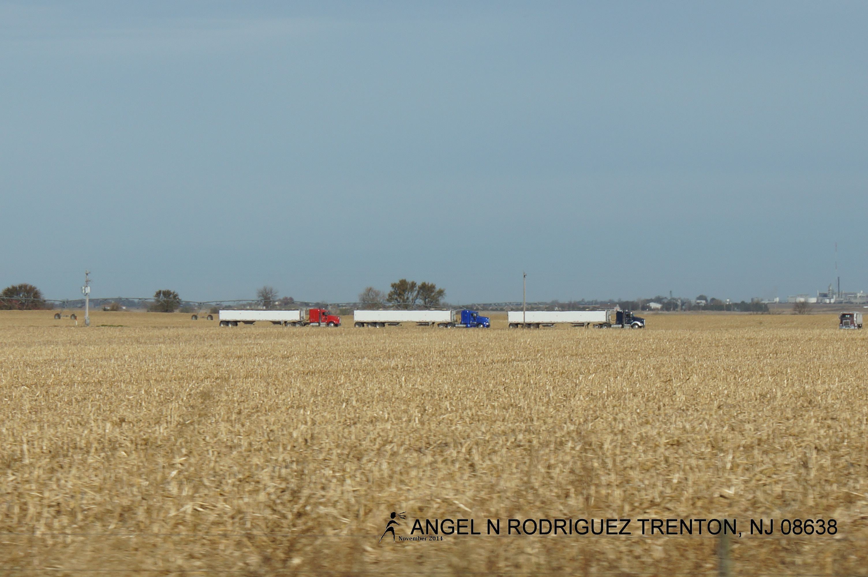
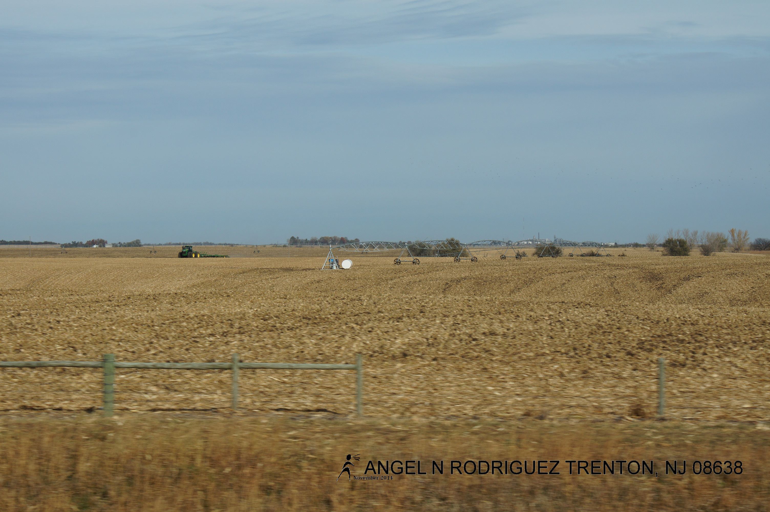
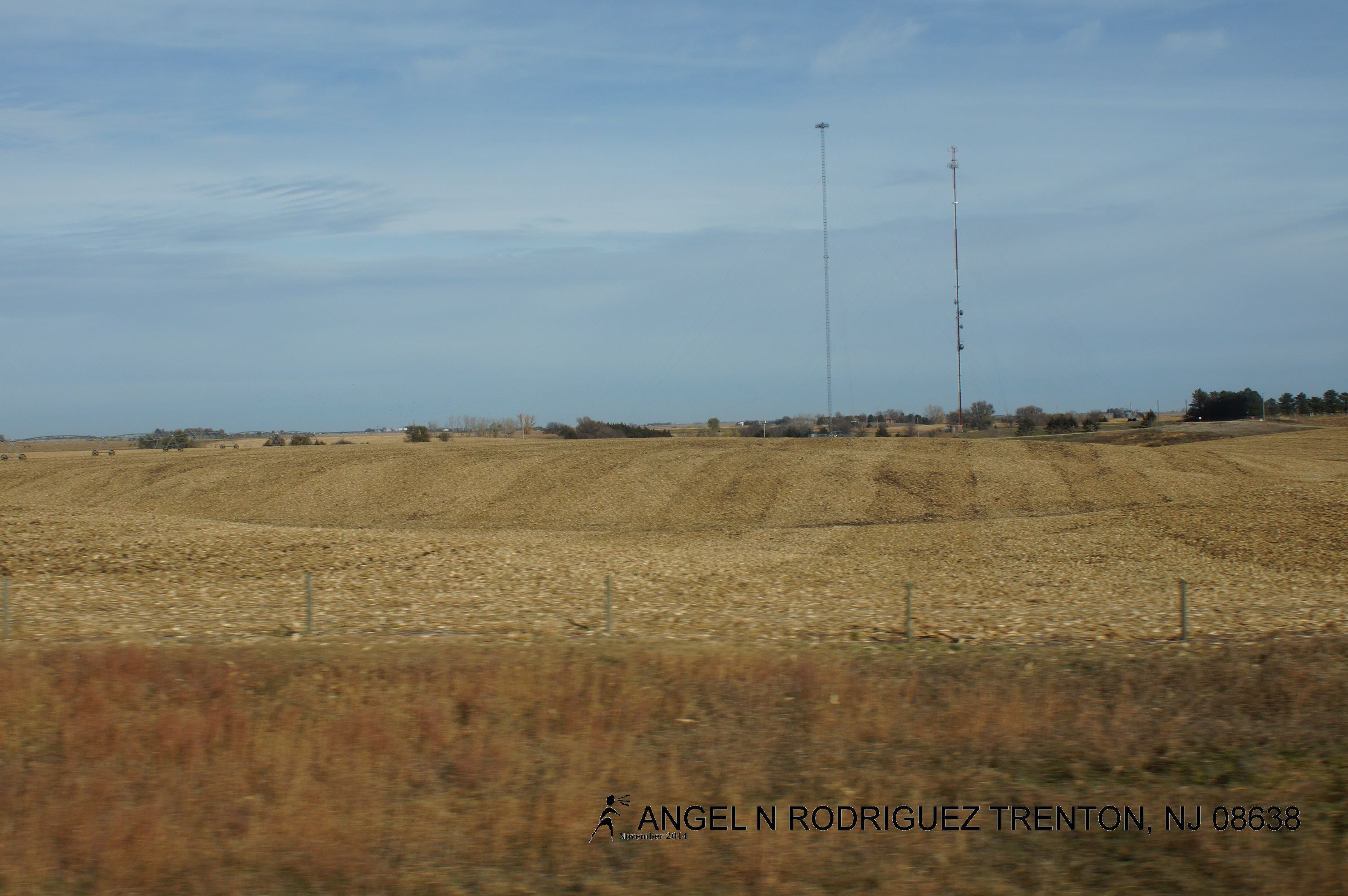
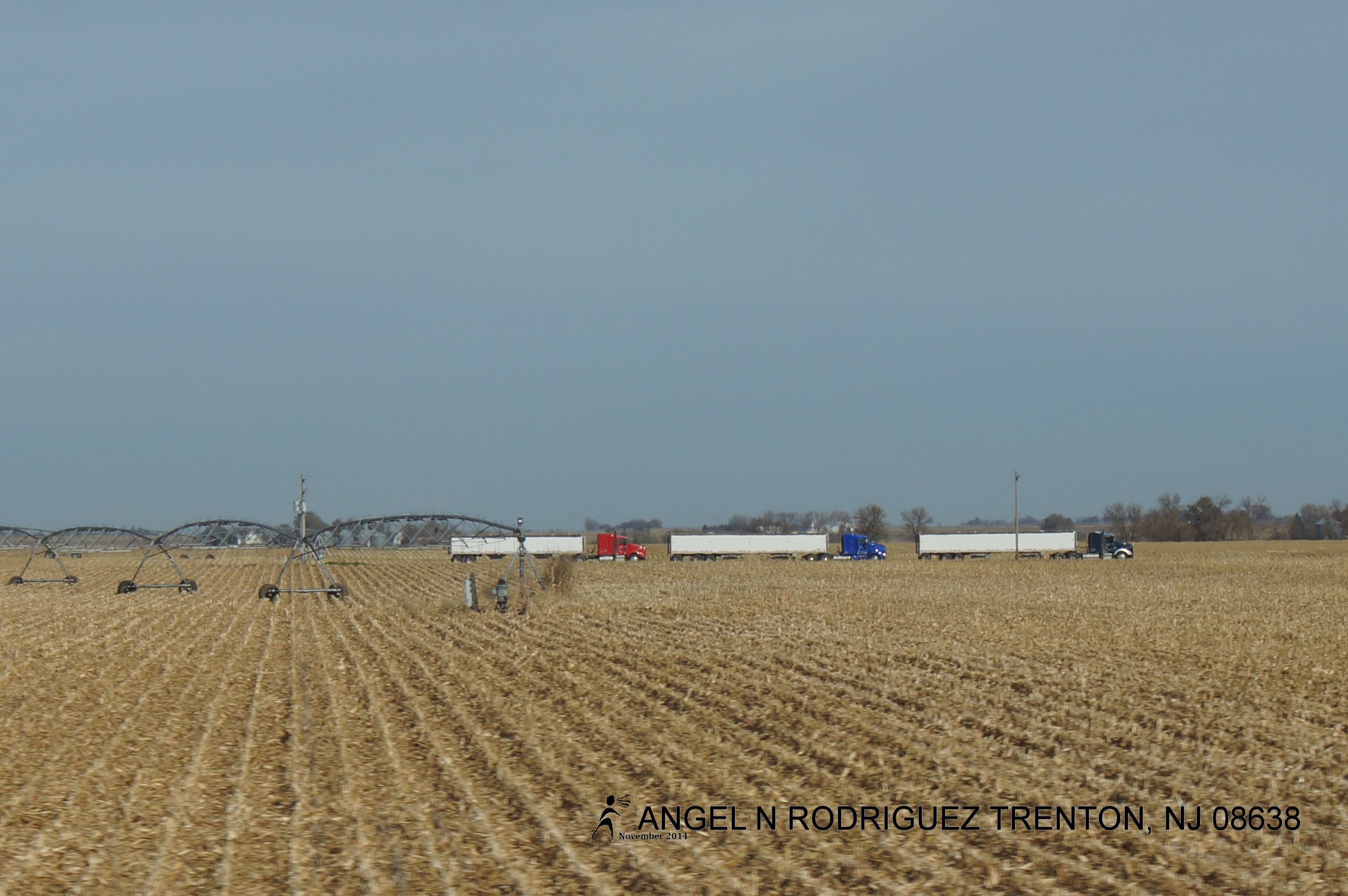
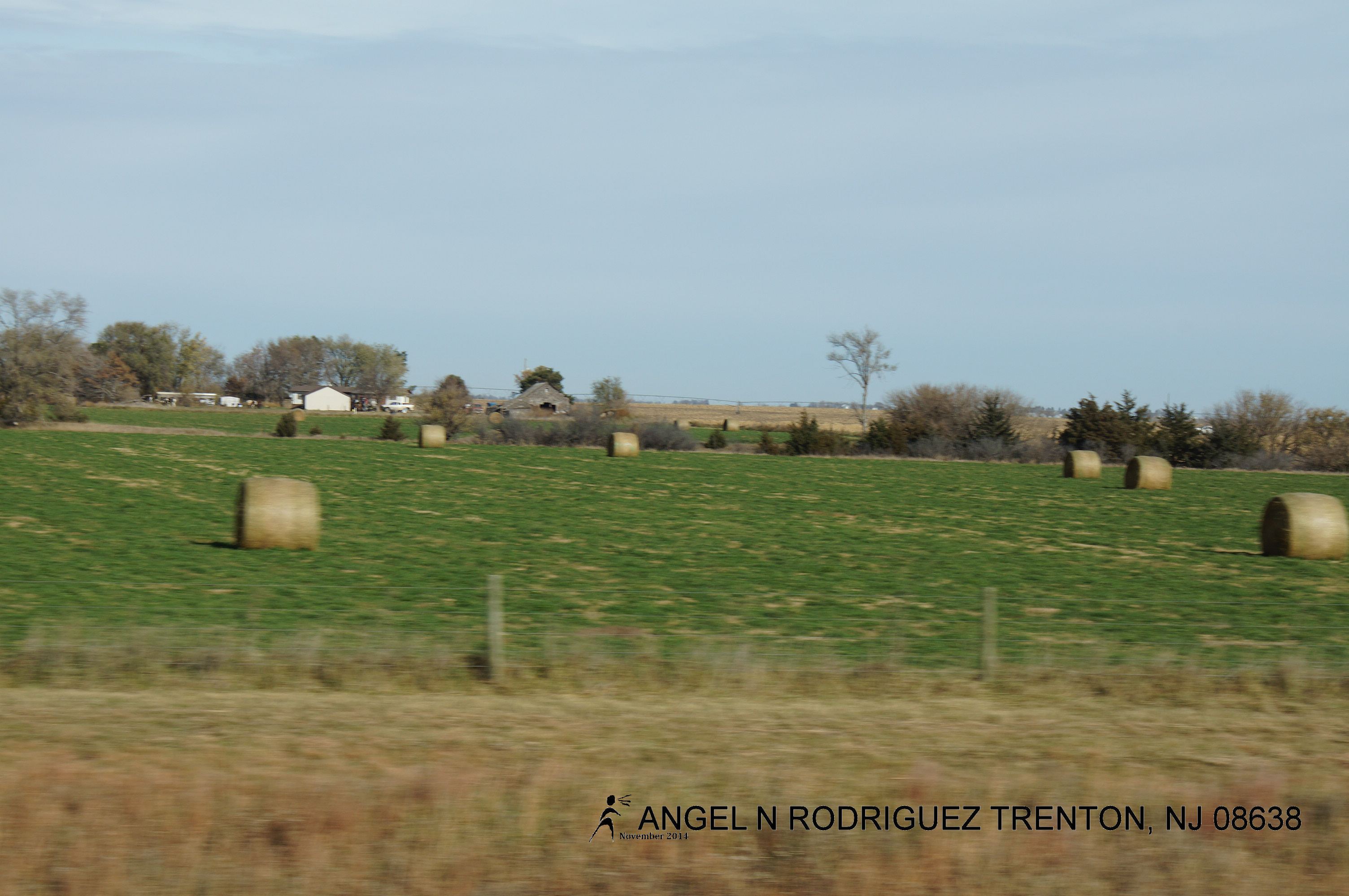
From West to East
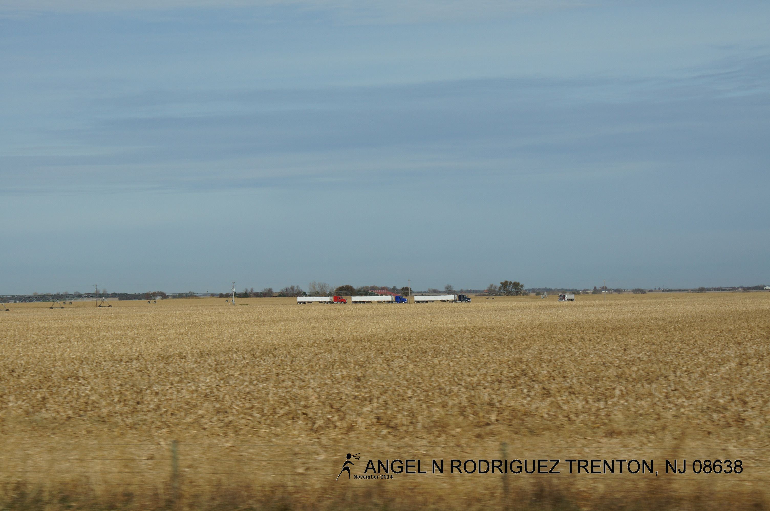
From West to East

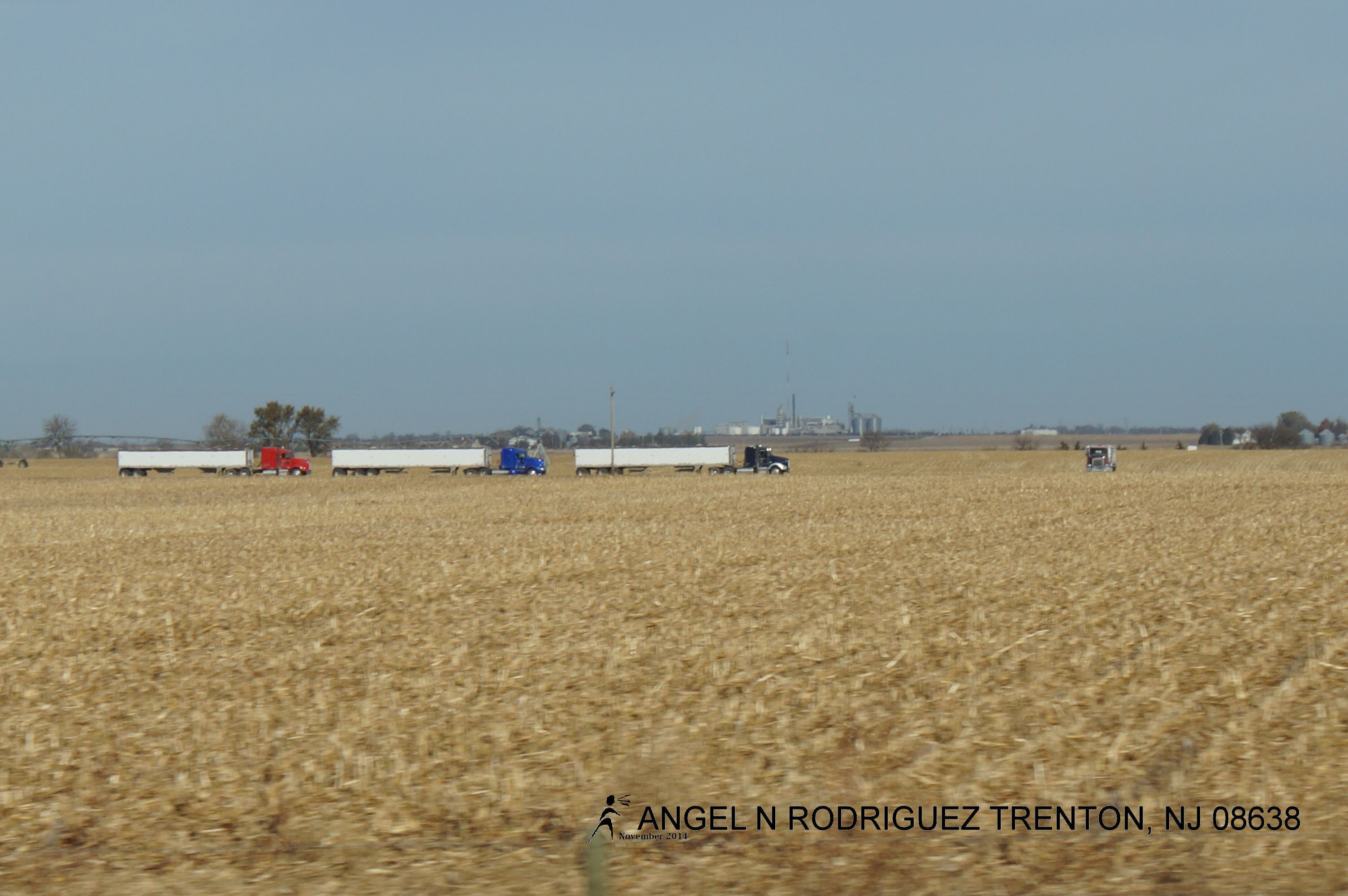
From West to East
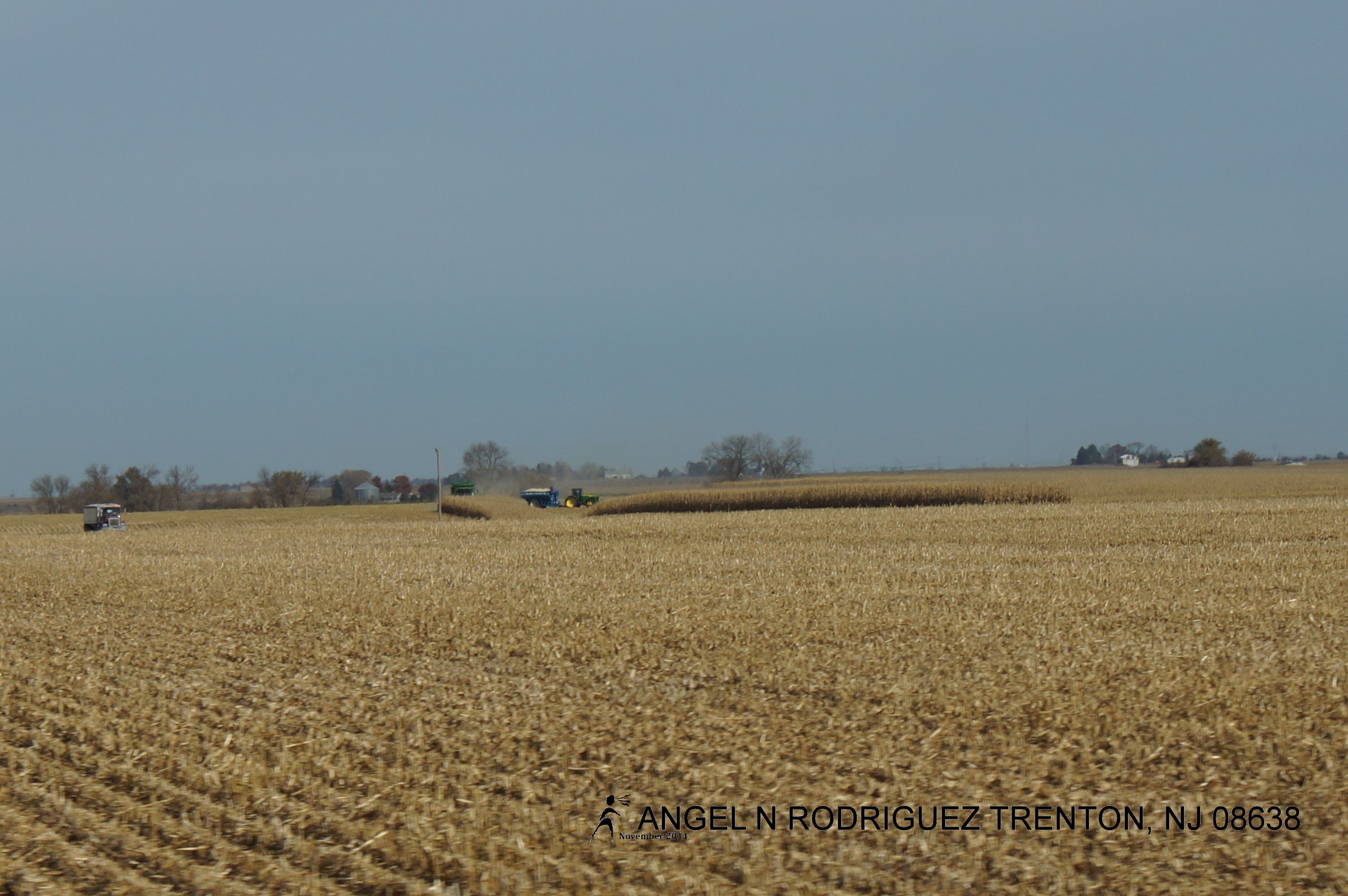
From West to East
From West to East
From West to East

From West to East
From West to East
From West to East
From West to East
From West to East
From West to East
From West to East
From West to East
From West to East
From West to East
Topographic Map of S Lincoln Ave, York, NE, USA
Find elevation by address:

Places near S Lincoln Ave, York, NE, USA:
York
1005 Mayhew Ave
1116 Nobes Rd Sw
S Lincoln Ave, York, NE, USA
US-81, York, NE, USA
York County
Lockridge
Lincoln St, Bradshaw, NE, USA
Bradshaw
Bradshaw
Polk County
1159 129th Rd
1159 129th Rd
1159 129th Rd
South Canada
N W Rd, Hordville, NE, USA
Hordville
Shelby
Elm St, Shelby, NE, USA
F
Recent Searches:
- Elevation of 908, Northwood Drive, Bridge Field, Chesapeake, Virginia, 23322, USA
- Elevation map of Nagano Prefecture, Japan
- Elevation of 587, Bascule Drive, Oakdale, Stanislaus County, California, 95361, USA
- Elevation of Stadion Wankdorf, Sempachstrasse, Breitfeld, Bern, Bern-Mittelland administrative district, Bern, 3014, Switzerland
- Elevation of Z024, 76, Emil-von-Behring-Straße, Marbach, Marburg, Landkreis Marburg-Biedenkopf, Hesse, 35041, Germany
- Elevation of Gaskill Road, Hunts Cross, Liverpool, England, L24 9PH, United Kingdom
- Elevation of Speke, Liverpool, England, L24 9HD, United Kingdom
- Elevation of Seqirus, 475, Green Oaks Parkway, Holly Springs, Wake County, North Carolina, 27540, USA
- Elevation of Pasing, Munich, Bavaria, 81241, Germany
- Elevation of 24, Auburn Bay Crescent SE, Auburn Bay, Calgary, Alberta, T3M 0A6, Canada
- Elevation of Denver, 2314, Arapahoe Street, Five Points, Denver, Colorado, 80205, USA
- Elevation of Community of the Beatitudes, 2924, West 43rd Avenue, Sunnyside, Denver, Colorado, 80211, USA
- Elevation map of Litang County, Sichuan, China
- Elevation map of Madoi County, Qinghai, China
- Elevation of 3314, Ohio State Route 114, Payne, Paulding County, Ohio, 45880, USA
- Elevation of Sarahills Drive, Saratoga, Santa Clara County, California, 95070, USA
- Elevation of Town of Bombay, Franklin County, New York, USA
- Elevation of 9, Convent Lane, Center Moriches, Suffolk County, New York, 11934, USA
- Elevation of Saint Angelas Convent, 9, Convent Lane, Center Moriches, Suffolk County, New York, 11934, USA
- Elevation of 131st Street Southwest, Mukilteo, Snohomish County, Washington, 98275, USA